 F4LUFTBILDER
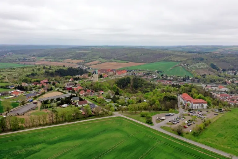


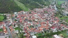
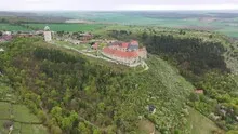
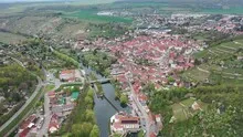
Vineyards above the Unstrut valley
In Freyburg an der Unstrut the red roofs are close together. The vineyards open up above the town center. Neuchâtel Castle gives the landscape a second perspective, which is particularly suitable as a counterpart to a narrow section of the city.
From the city layout to the vineyard
Freyburg offers a change of perspective between the heights of Neuchâtel and the alleys on the Unstrut. In the overview, the rows of vines convey the slope of the slope. In the cityscape, the roofs take on this task because their heights and directions are close together.
Rows of vines make the slope of a slope visible in a special way. They run across the area, change direction at a plot boundary or end at an embankment. From the air, their order can be observed over a large distance. An oblique view also shows how high the cultivated areas are above the valley. When selecting images, a combination with a fixed reference point is helpful, such as the edge of the town or an easily recognizable path through the slope.
What the roofs reveal about the floor plan
If you look at it at an angle, the houses not only show their roofs, but also their facades of different widths. This gives the motif more depth than in the pure top view. Even the change from a low neighboring building to a taller building reveals something about the gradation of the place. Such a view is particularly useful for a local chronicle if the caption indicates the starting point of the view. Readers can then follow the rows of houses themselves to the edge of the picture.
Understand the system through its structure
The system can be told from two distances. The overview first clarifies how much space the building takes up on its hill or on the bank. The view then turns to a characteristic corner, the transition between two wings or the opening to a courtyard. This order is clear for an editorial article because readers can find the detailed section on the overview image. This is particularly helpful when multiple towers or wall edges obscure each other in a single view.
Shades of green in the image
If you browse through the 48 aerial photos, you can stay at shot 17 and shot 40 for a comparison. In the first image, green areas make up a smaller part of the section than in the second. It's worth tracking the green areas individually. Only in connection with neighboring forms does it become clear what is in the foreground and what belongs to the more distant surroundings.
For shot 1 and shot 48, the same day is noted in the image files, April 18, 2025. The recording times recorded are approximately 11 minutes apart. ISO 100 and an exposure time of 1/120 second are recorded for both files.
In the Aerial Videos section there are 3 clips for this article. An example is “Freyburg an der Unstrut and Neuenburg Castle”. Its preview leads directly to the video in the aerial photographer's Adobe Stock portfolio.
How to recognize created areas
In a designed landscape, the direction of paths often says more than a single detail. A straight axis can connect several areas, while a curved path can accommodate the movement of the terrain. Which of these lines is easy to read in an aerial photo also depends on the vegetation and the light. For an aerial photographer, the future intended use is therefore an important clue. An overview for visitors needs clearly visible connections. An image for a report may come closer to a single characteristic area.
Related motifs in the aerial photo archive
If you are looking for related motifs, you can start with Weißenfels. In Weißenfels, the shots change from the urban space to individual building complexes. It's worth taking a second look at Assmanshausen. In Assmannshausen there is only a narrow strip for houses and traffic routes between the Rhine and the rising vineyard slope.