 F4LUFTBILDER
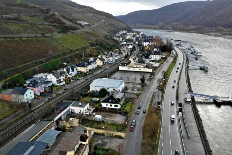
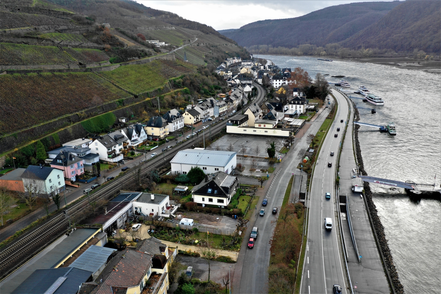
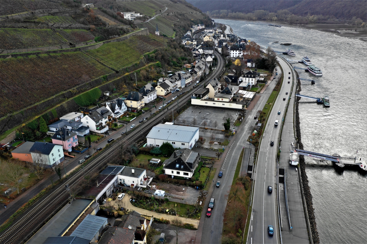
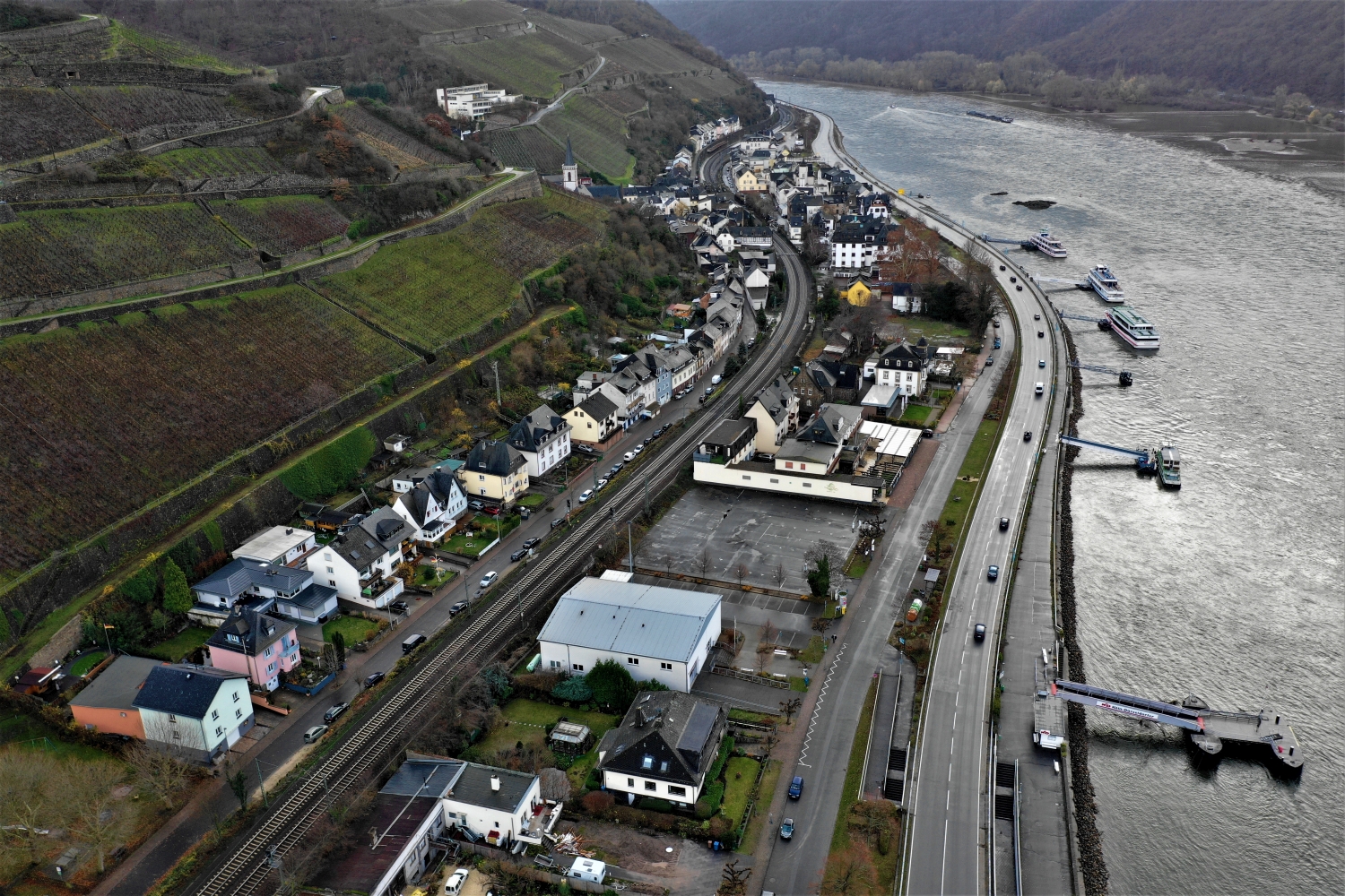
Assmannshausen between the Rhine and vineyards
In Assmannshausen there is only a narrow strip for houses and traffic routes between the Rhine and the rising vineyard slope. The rows of vines follow a different direction than the water. The tension between these two lines determines the character of the townscape.
The narrow strip on the banks of the Rhine
The town views of Assmannshausen thrive on the narrow width on the left or right edge of the picture, depending on the direction of the camera. The Rhine takes up a lot of space, the inhabited strip takes up little. In this context, a single row of houses already tells a lot about the situation in the Rheingau.
Rows of vines make the slope of a slope visible in a special way. They run across the area, change direction at a plot boundary or end at an embankment. From the air, their order can be observed over a large distance. An oblique view also shows how high the cultivated areas are above the valley. When selecting images, a combination with a fixed reference point is helpful, such as the edge of the town or an easily recognizable path through the slope.
Follow the watercourse in the picture
A river changes its role with the direction of view. Across the water you can clearly see how close the development is to the bank. A view along the run connects several sections that appear separate from the street. A particularly vivid image is one in which there is a prominent bank in the foreground and a second reference point further back. The eye can then follow the distance between them itself. A picture caption is achieved by indicating which side of the river the main motif is on.
Recognize the shape of the valley area
Two different narrative directions emerge along a valley and across it. The longitudinal view leads into the distance and shows what is arranged one behind the other. Looking sideways, the width of the valley floor and the rise on either side become clearer. Which view is convincing depends on the question asked of the image. For a description of the location, a lateral view is often productive. For a stretch along a route, the longitudinal view gives the viewer a direction to follow across multiple subjects.
Light and dark areas of the image
For a direct image comparison, use shot 3 and shot 1 from the gallery with 3 aerial photos. In the first photo, light and dark areas are closer together in tonal value. In the second shot the contrast is more pronounced. When switching between photos, it is worth looking from the lightest area to the dark areas. The greater the distance, the more individual contours can stand out, even in a small preview.
According to camera data, Image 1 and Image 3 were taken on December 9, 2018. There is a gap of less than a minute between the two images. ISO 100 and an exposure time of 1/120 second are recorded for both files.
How to recognize created areas
In a designed landscape, the direction of paths often says more than a single detail. A straight axis can connect several areas, while a curved path can accommodate the movement of the terrain. Which of these lines is easy to read in an aerial photo also depends on the vegetation and the light. For an aerial photographer, the future intended use is therefore an important clue. An overview for visitors needs clearly visible connections. An image for a report may come closer to a single characteristic area.
Related motifs in the aerial photo archive
The article Burg Pfalzgrafenstein & Kaub offers another perspective. Kaub and Pfalzgrafenstein Castle lie on opposite sides of a narrow stretch of water. In the gallery Ruin Fürstenberg Castle there is a different focus. The Fürstenberg ruins stand between the straight rows of vineyards above the Rhine.