 F4LUFTBILDER


Vilnius on the banks of the Neris
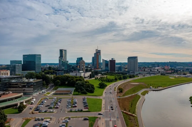
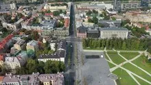
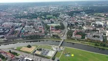
On the banks of the Neris, wide streets and modern high-rise buildings meet more open river areas in Vilnius. In the narrower city views, the roofs condense to create a different image of the Lithuanian capital. The river serves as a reference point between the different scales.
Modern city silhouette by the river
The bank shots of Vilnius show the taller buildings over a wide open area. A little further inland, the relationship to the Neris becomes more difficult to see. To get an overview of the capital, a first look along the bend in the river helps.
A river changes its role with the direction of view. Across the water you can clearly see how close the development is to the bank. A view along the run connects several sections that appear separate from the street. A particularly vivid image is one in which there is a prominent bank in the foreground and a second reference point further back. The eye can then follow the distance between them itself. A picture caption is achieved by indicating which side of the river the main motif is on.
The silhouette from a closer look
In tall buildings, the silhouette changes with every viewing angle. Two towers that stand close together from one direction reveal a wide gap from another perspective. In a shot for a city performance, such a gap helps to recognize individual buildings. A piece of surroundings at the foot of the houses is equally important. It shows how the large buildings arrive in the street space and what scale neighboring buildings, squares or traffic systems have in comparison.
What the roofs reveal about the floor plan
A city center can often be read by its roofs. Where narrow gables are close together, the street space is also divided into short sections. A large, connected building interrupts this sequence. In the aerial photo you can follow the direction of an alley from such an interruption. For an illustration in a smaller format, a section with just a few easily distinguishable roof groups is worthwhile. In a large print, however, the spaces and small changes in direction are allowed to keep their place.
The distribution of blue tones
To switch between two of the 27 aerial photos, shot 24 and shot 3 can be called up directly in the gallery. In the first excerpt, shades of blue play a smaller role. In the second shot, blue areas take up more space. Blue can extend over a large contiguous area or only appear in individual parts. What also counts for the effect is whether these areas extend to the edge of the picture or surround the main subject.
Shot 1 and Shot 27 are among the views from September 6, 2021. According to the camera's time information, there are approximately 14 minutes between the two images. The exposure time was 1/500 second for the first of the images mentioned and 1/800 second for the second.
For a selection of moving images, the gallery contains 2 linked clips. Below is “Vilnius from the air”. Under Aerial Videos the preview leads to the aerial photographer's respective offer at Adobe Stock.
Explain the course of the river in the picture
An image path along a body of water can follow the direction of flow. In order for readers to understand the transition between the local views, they need a recognizable reference point for each section. This can be a crossing or a significant bend. Whether water can still be seen on the left or right of the finished print also depends on the page format. It is therefore worthwhile for the aerial photographer to know whether a wide double page or a narrow single image is intended. A cut-off bend in the river can significantly change the view of the town.
Related motifs in the aerial photo archive
Two additional views can be used in the archive for comparison. The first can be found under Poland – Warsaw. The Vistula forms a broad reference point in the aerial photographs of Warsaw. The second belongs to the article Tallinn | Estonia. The narrow streets and dense roofs of the old town stand out above Tallinn.