 F4LUFTBILDER
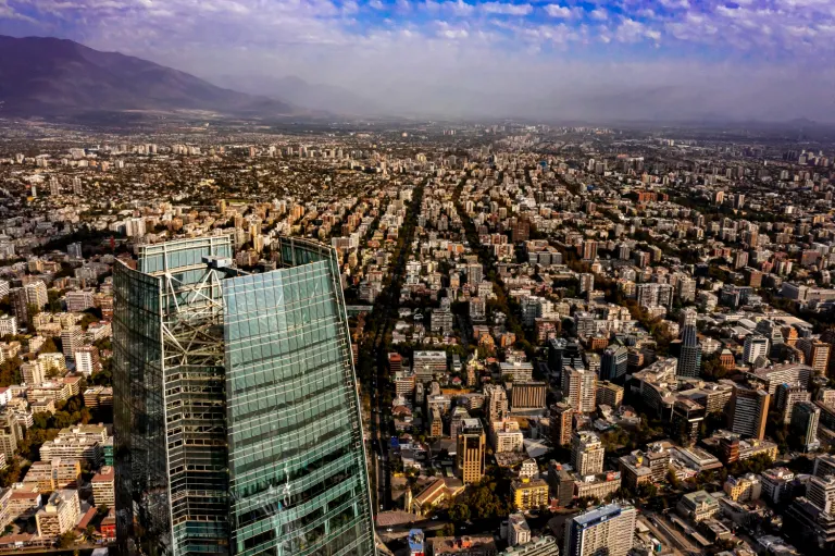
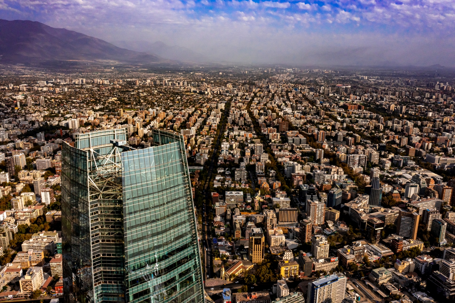
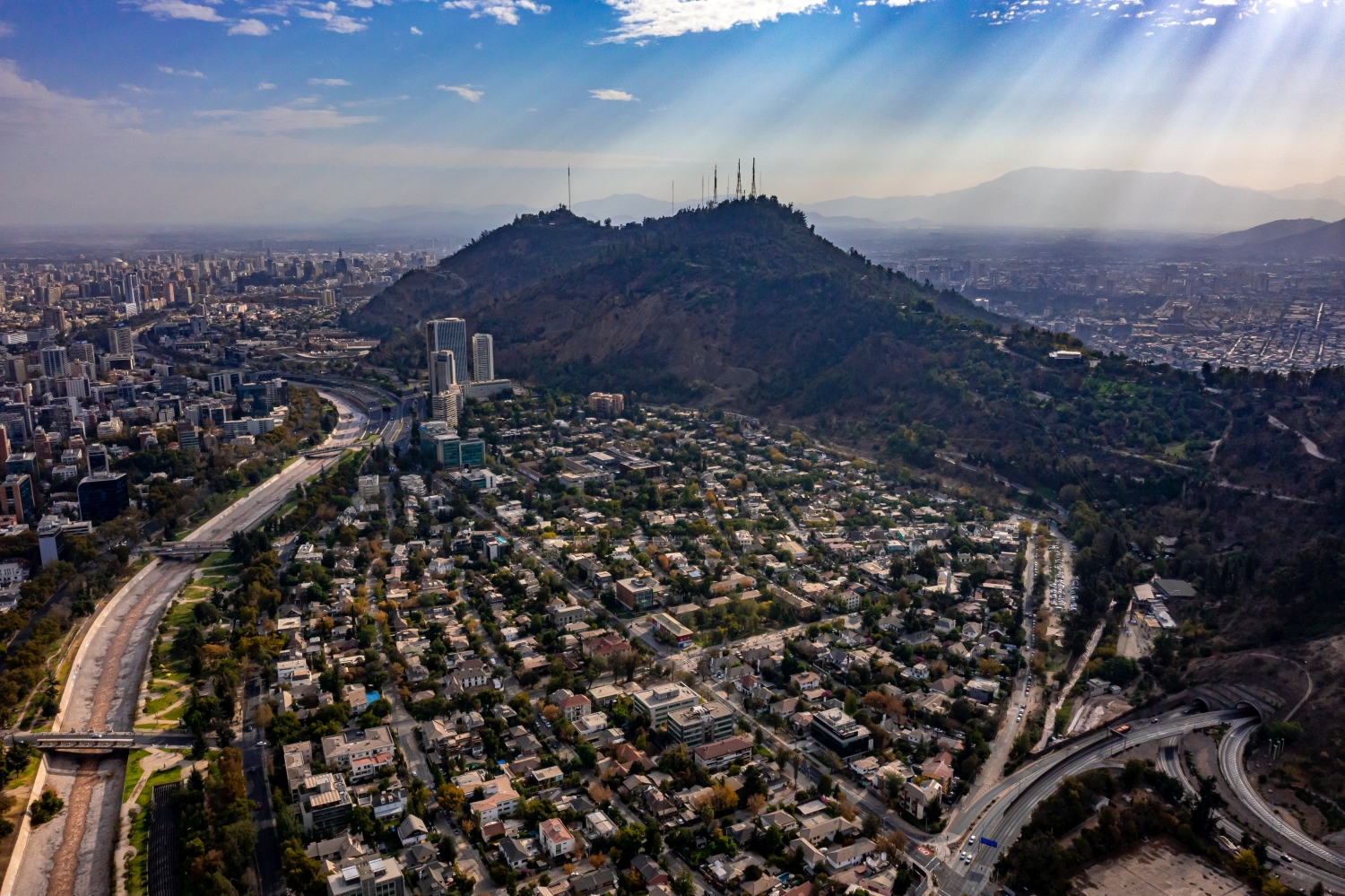
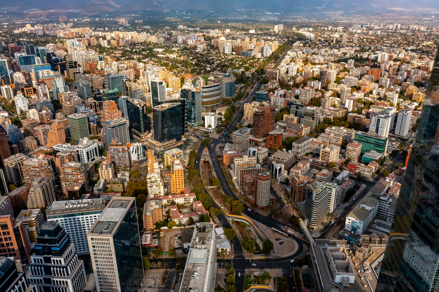
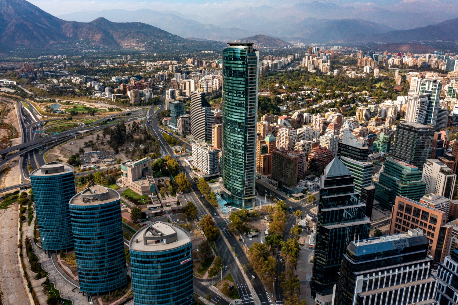
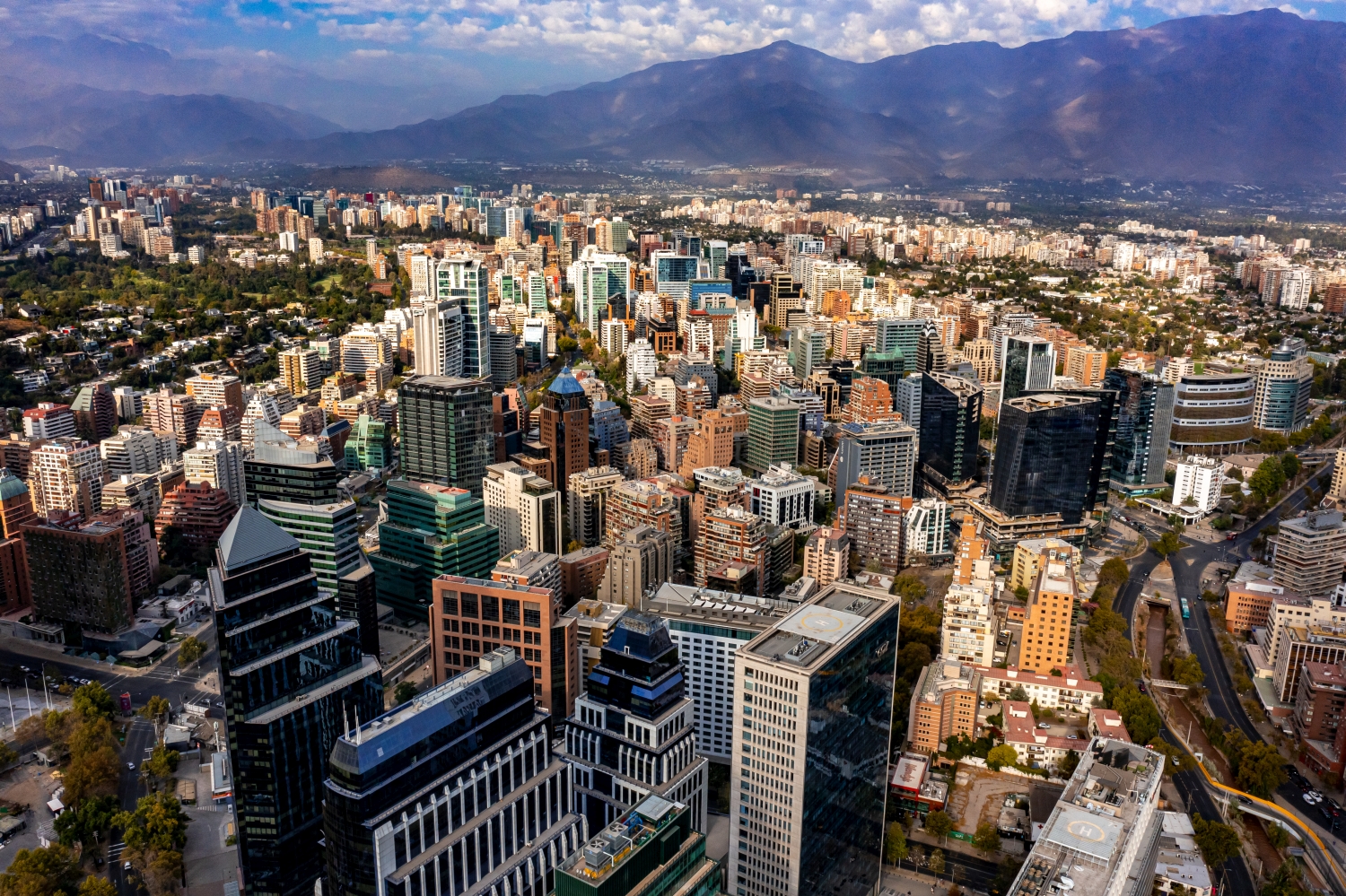
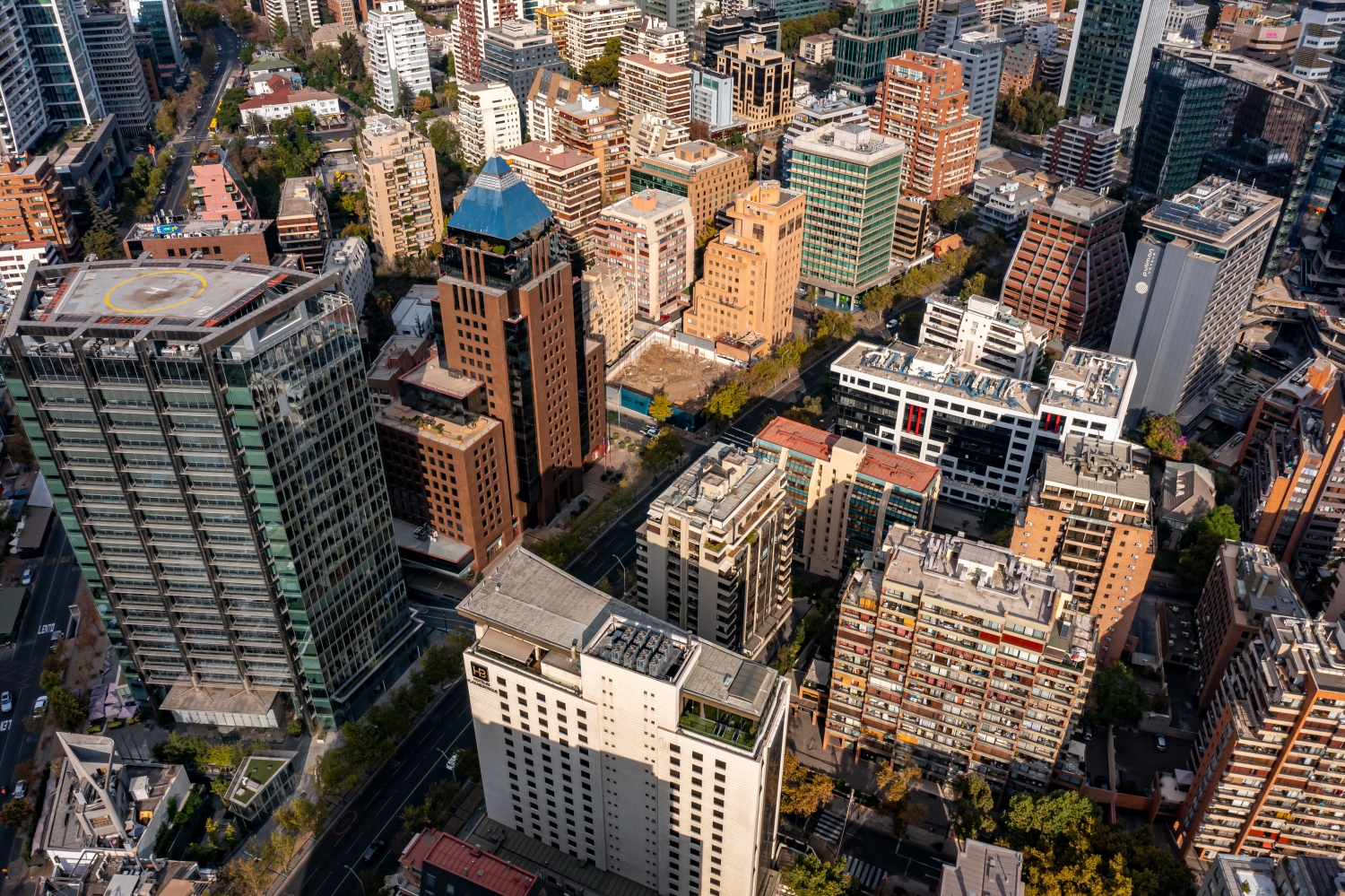
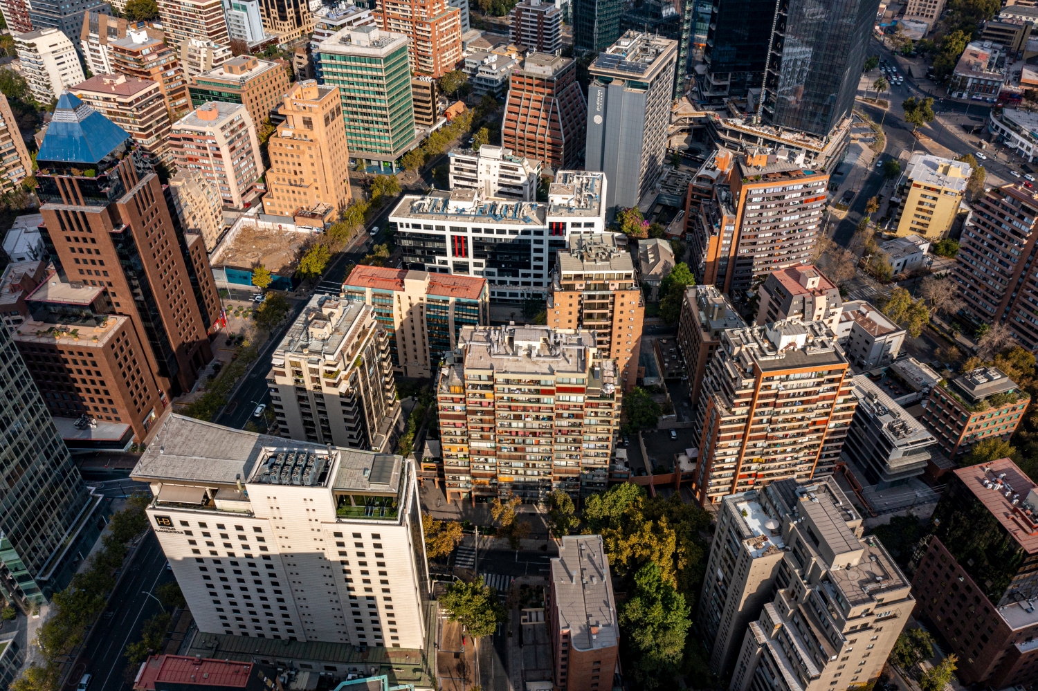
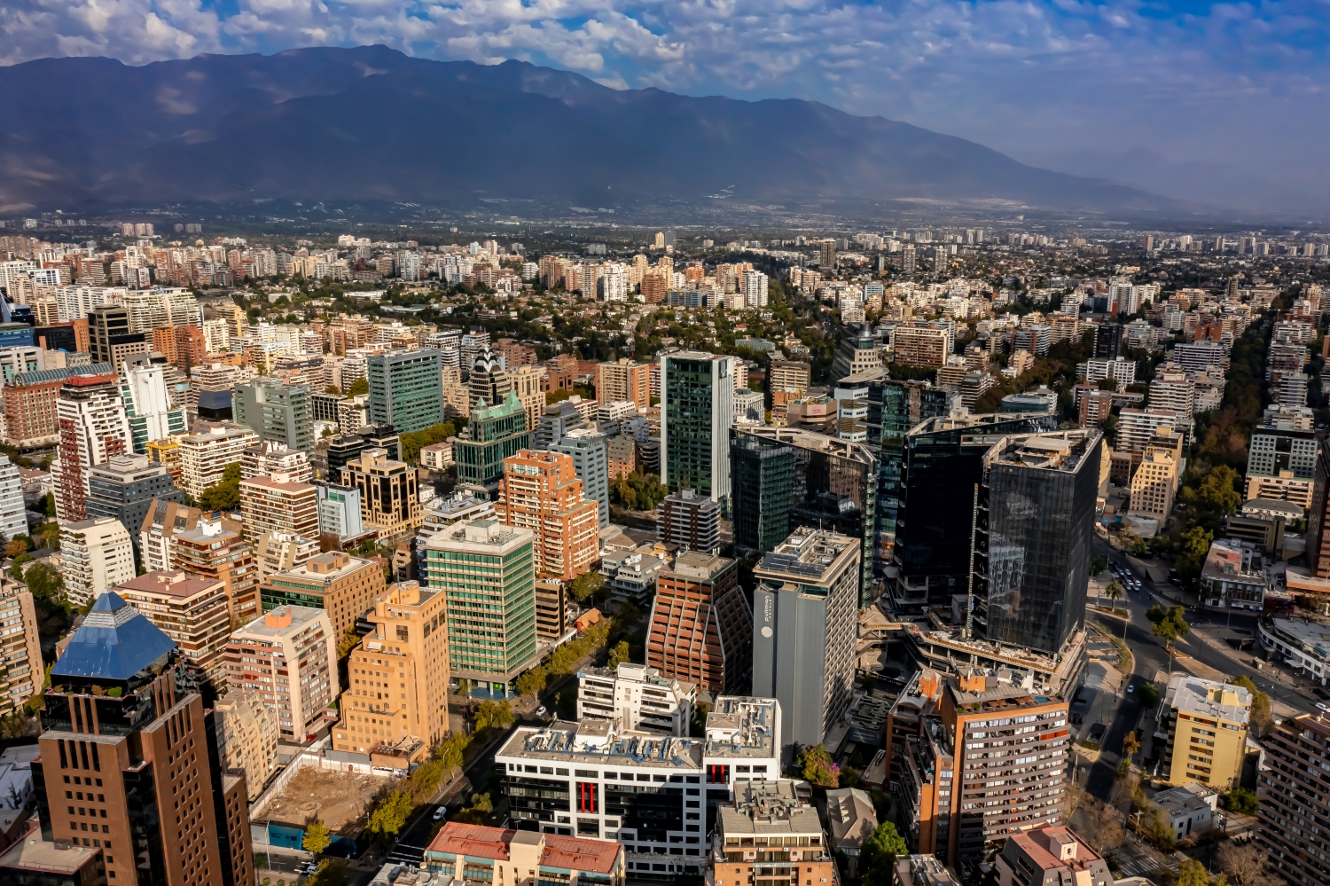
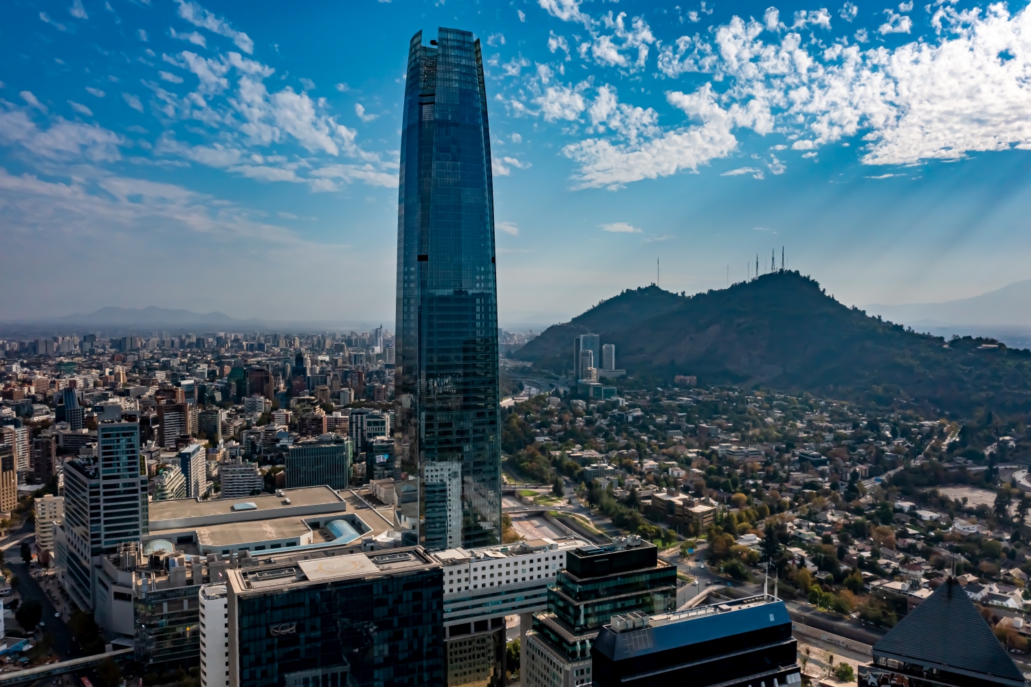
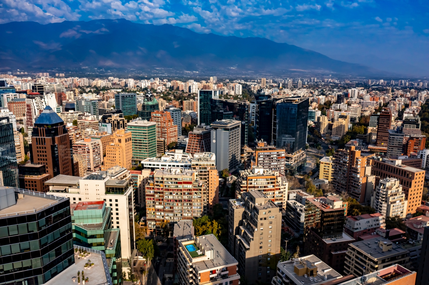
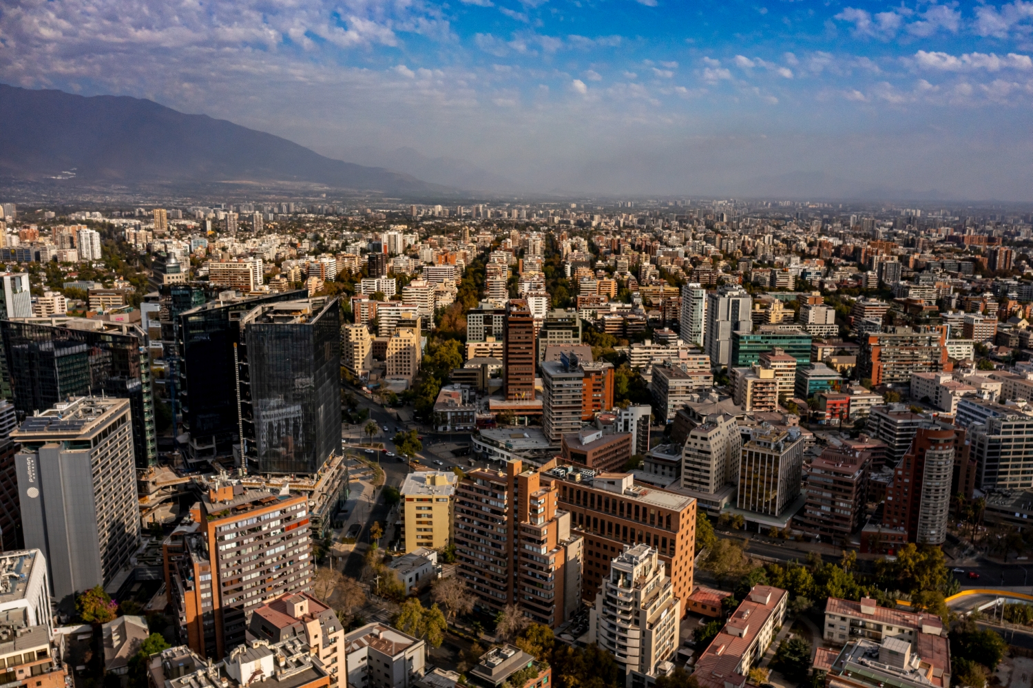
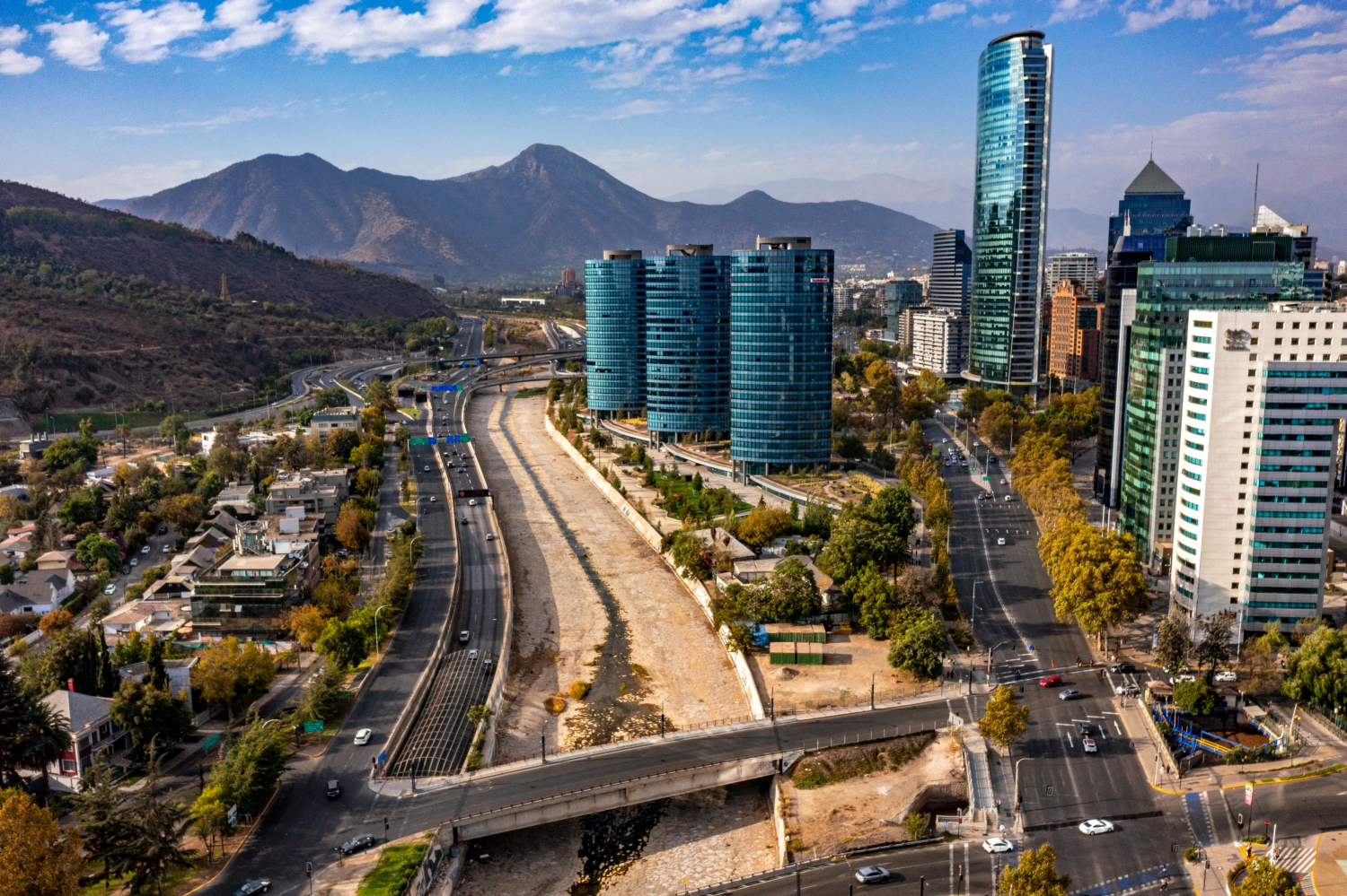
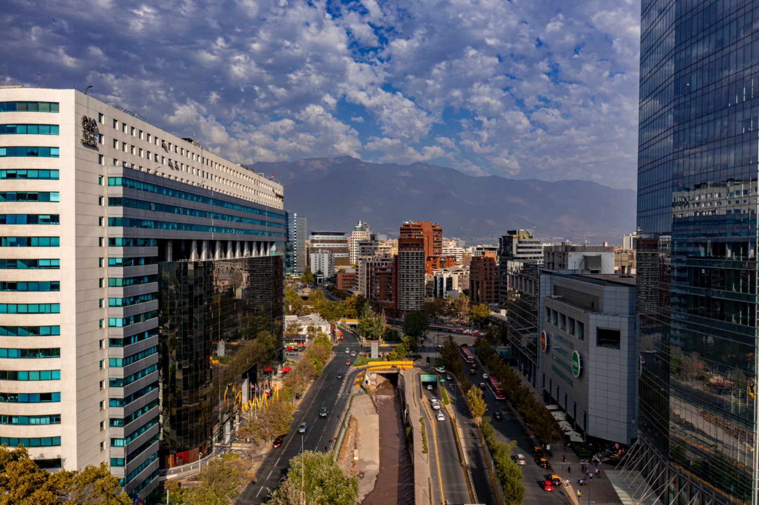
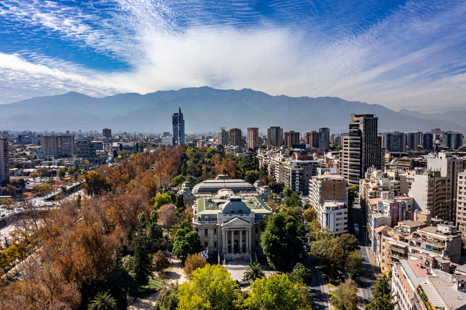
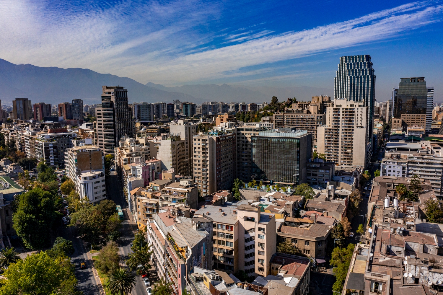
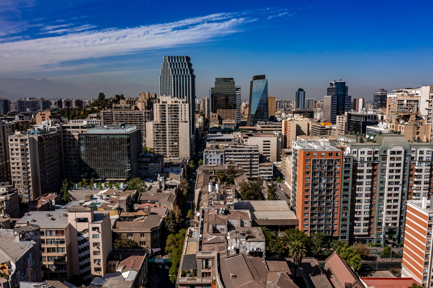
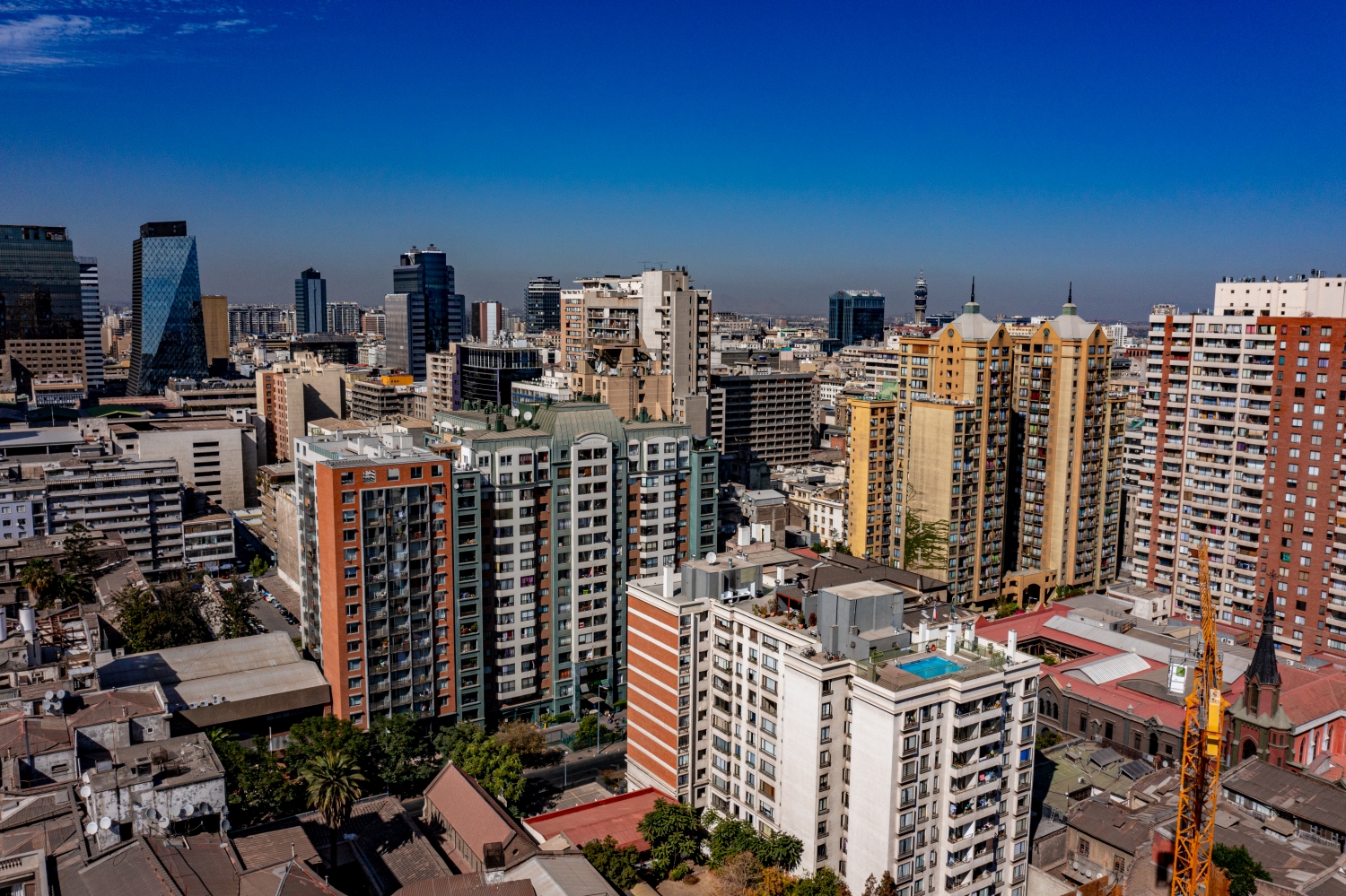
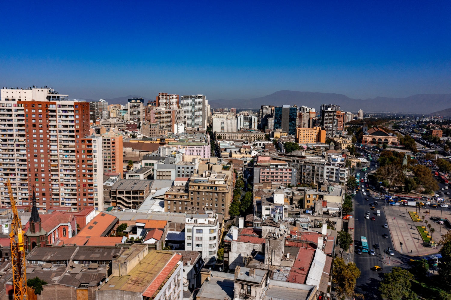
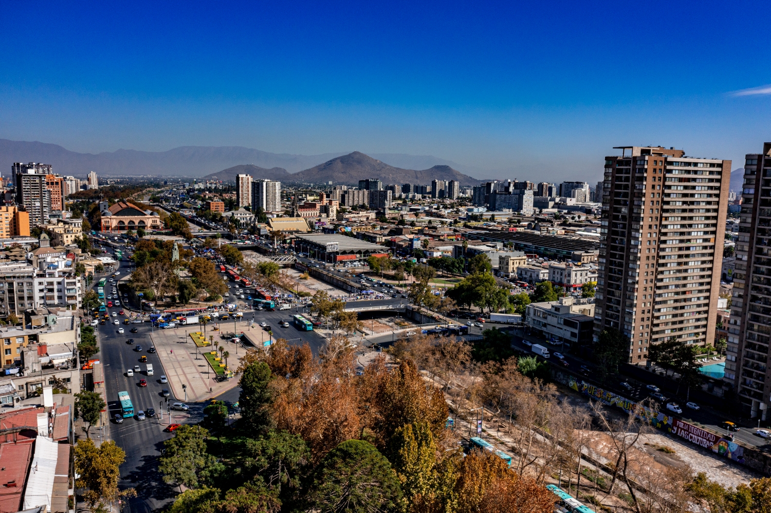
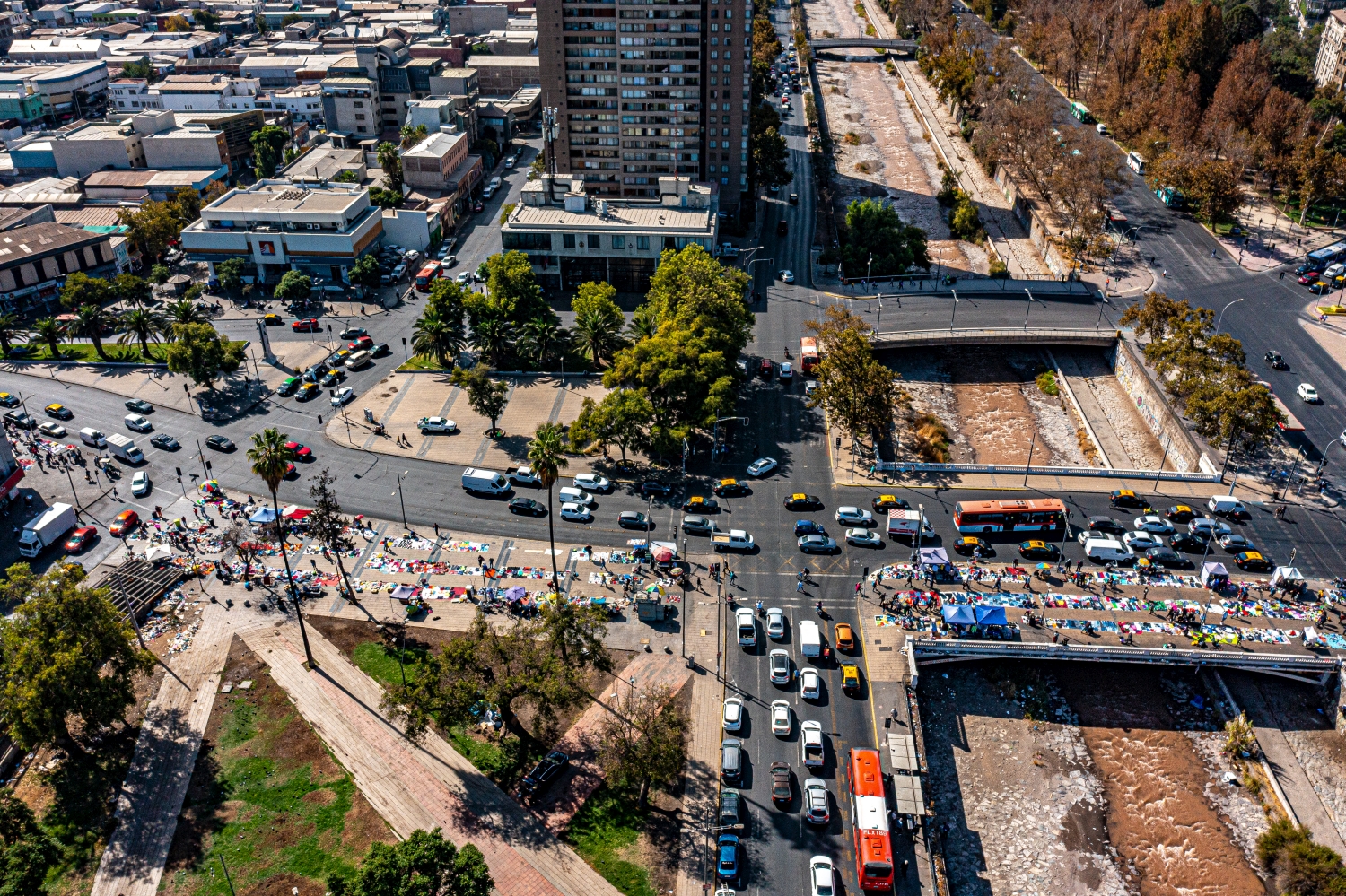
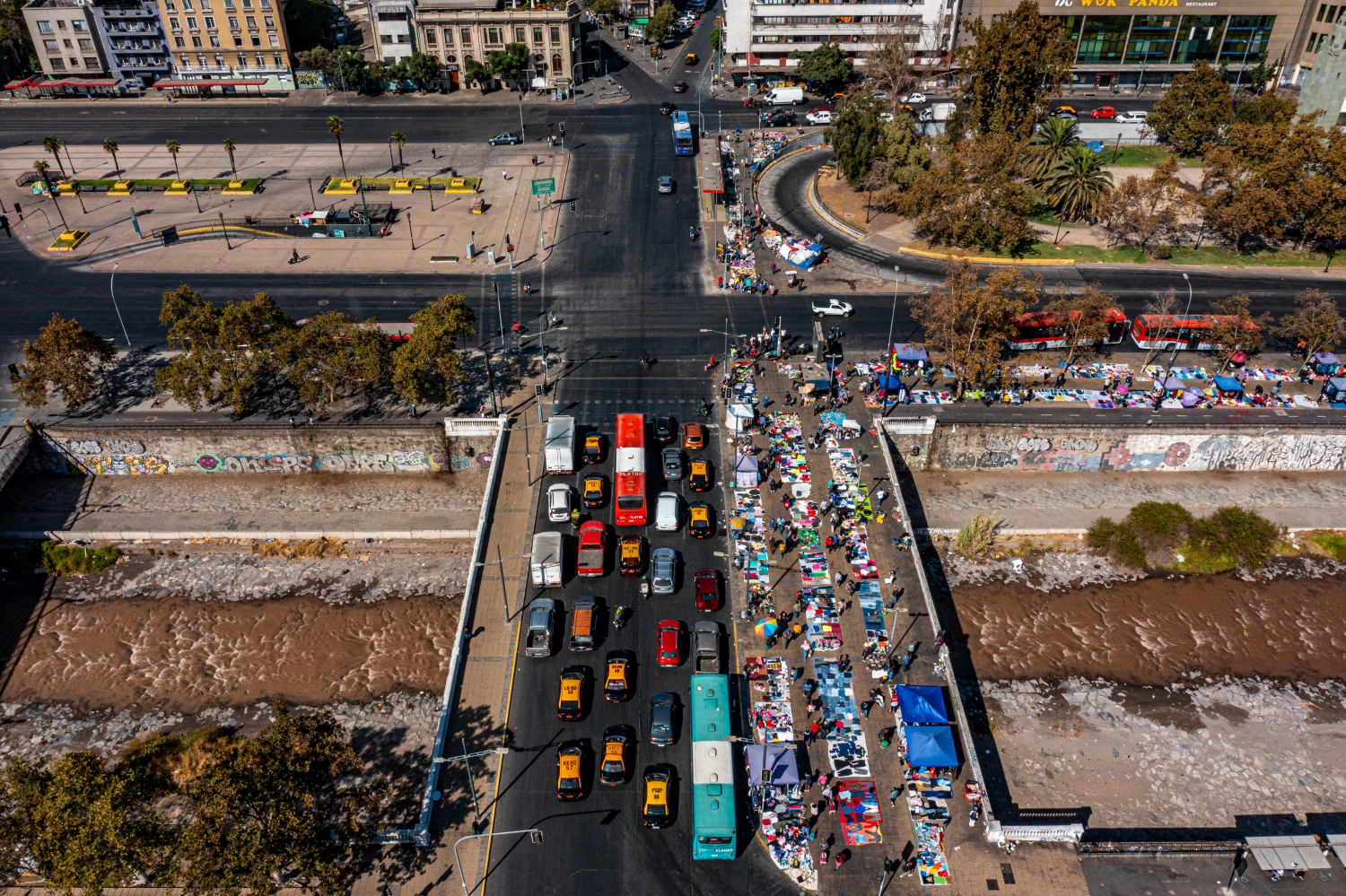
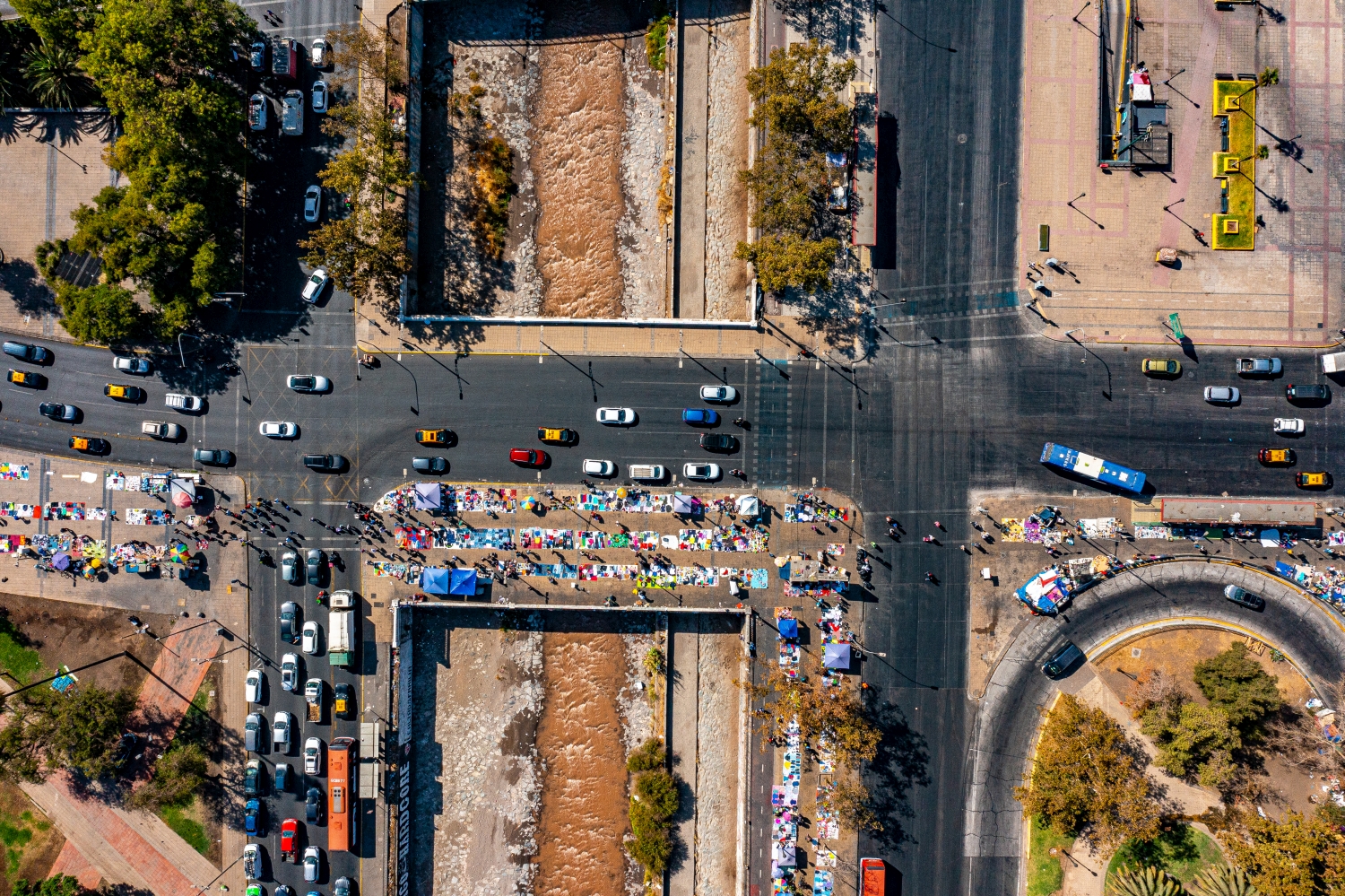
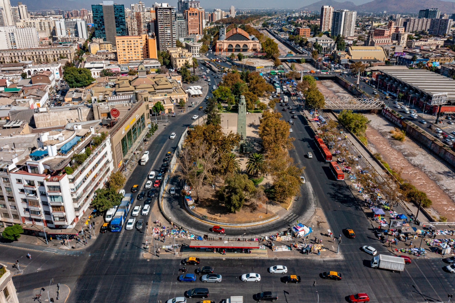
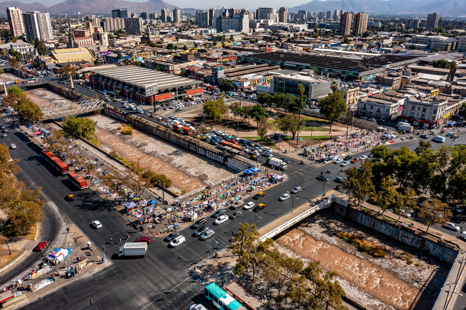
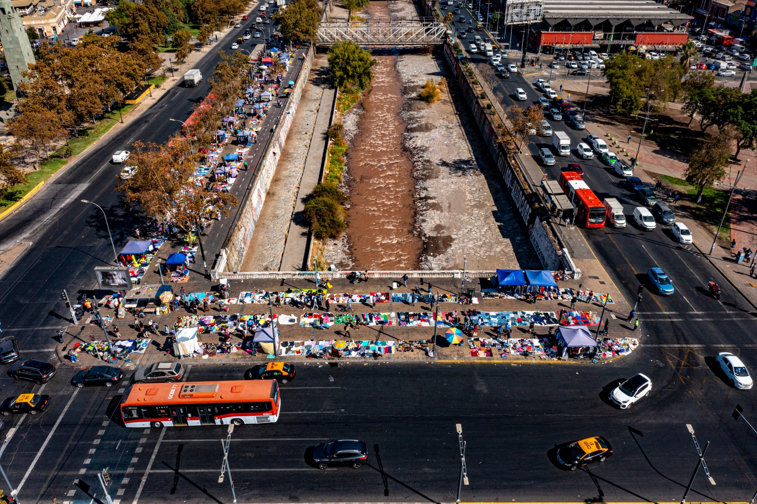
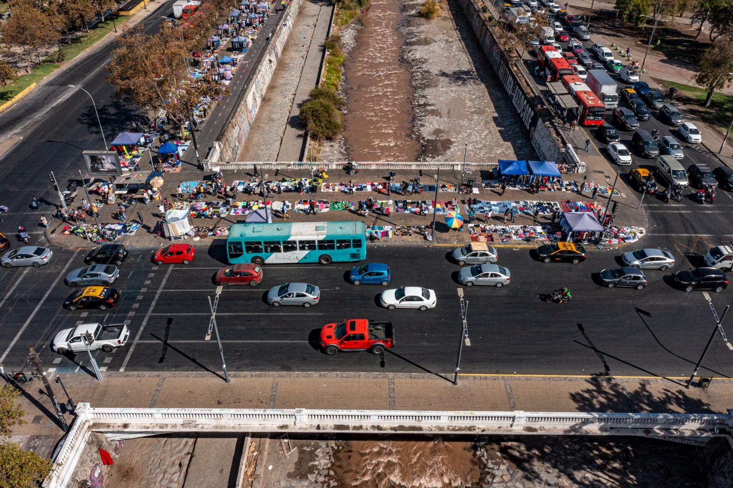
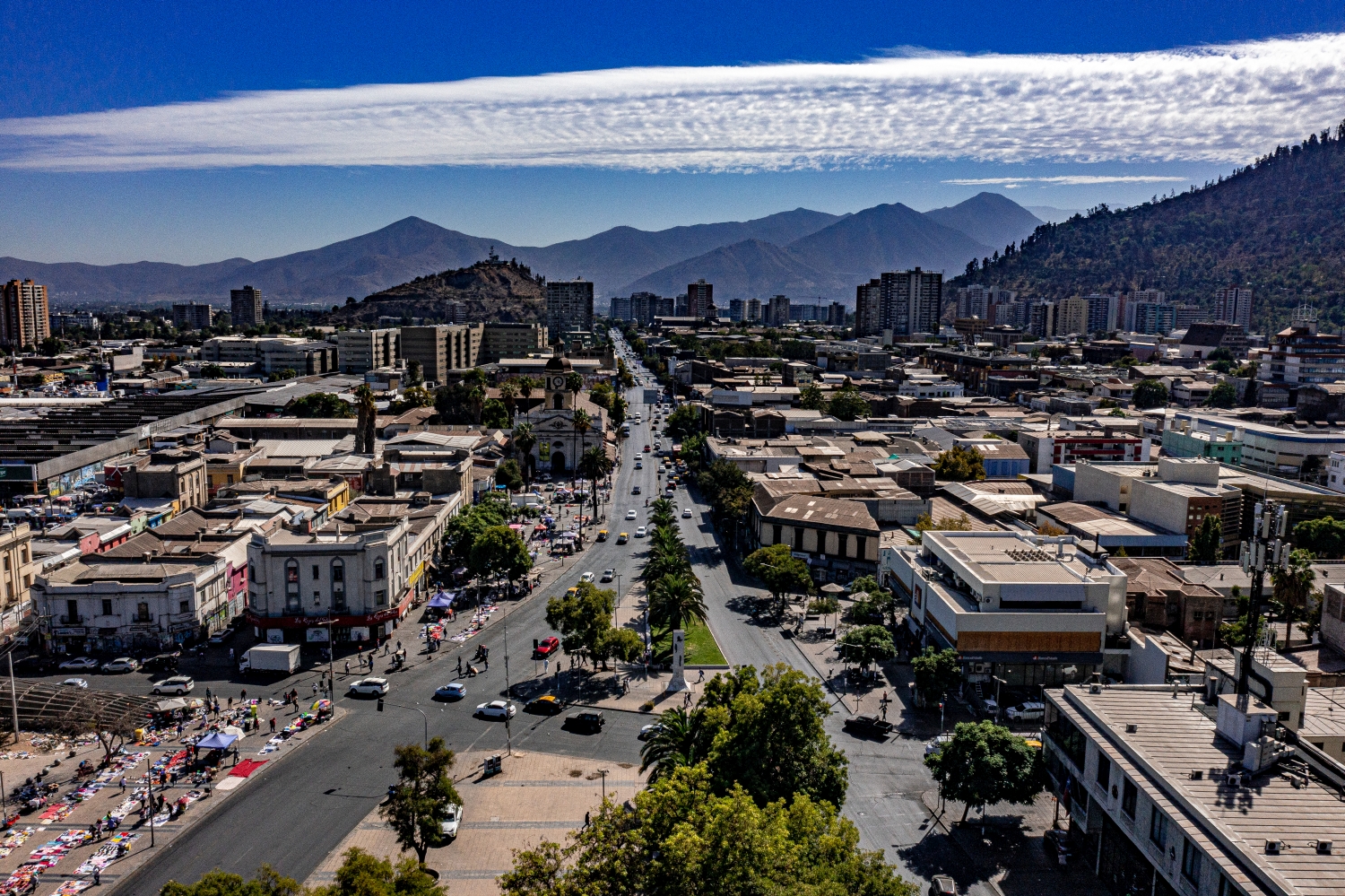
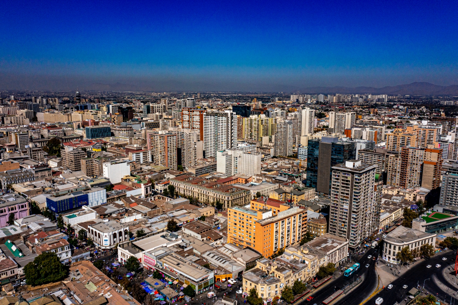
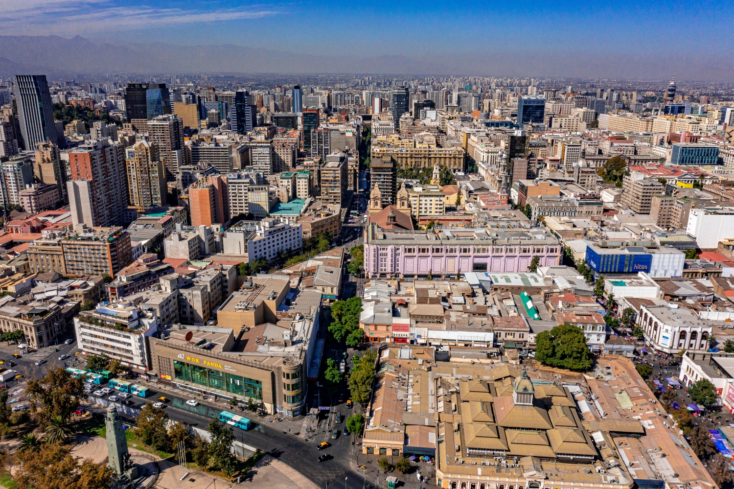
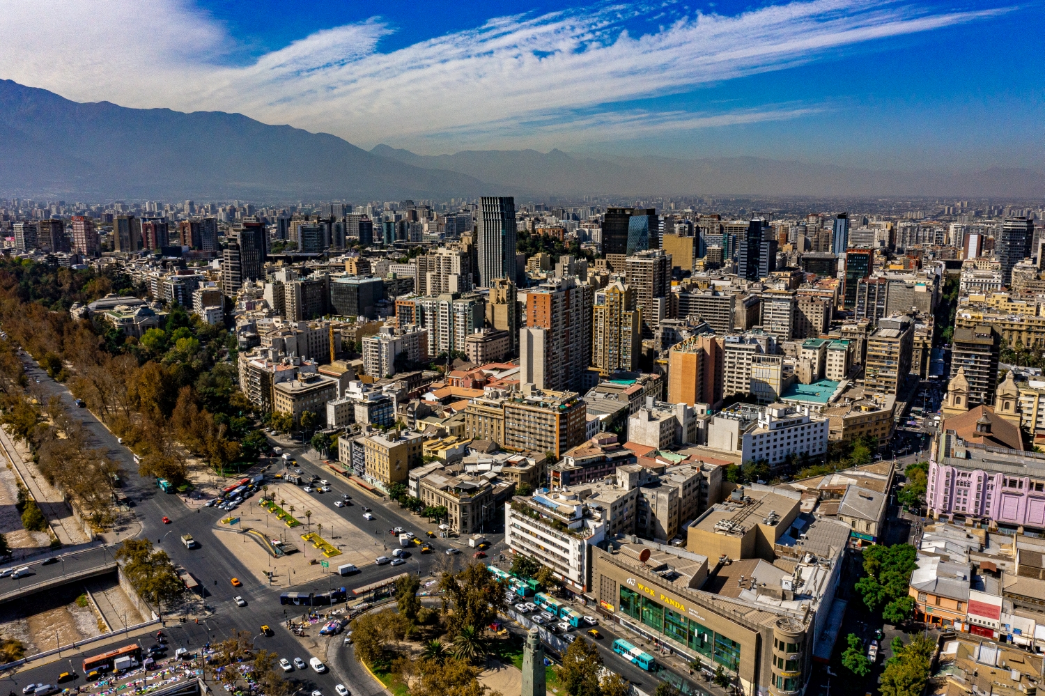
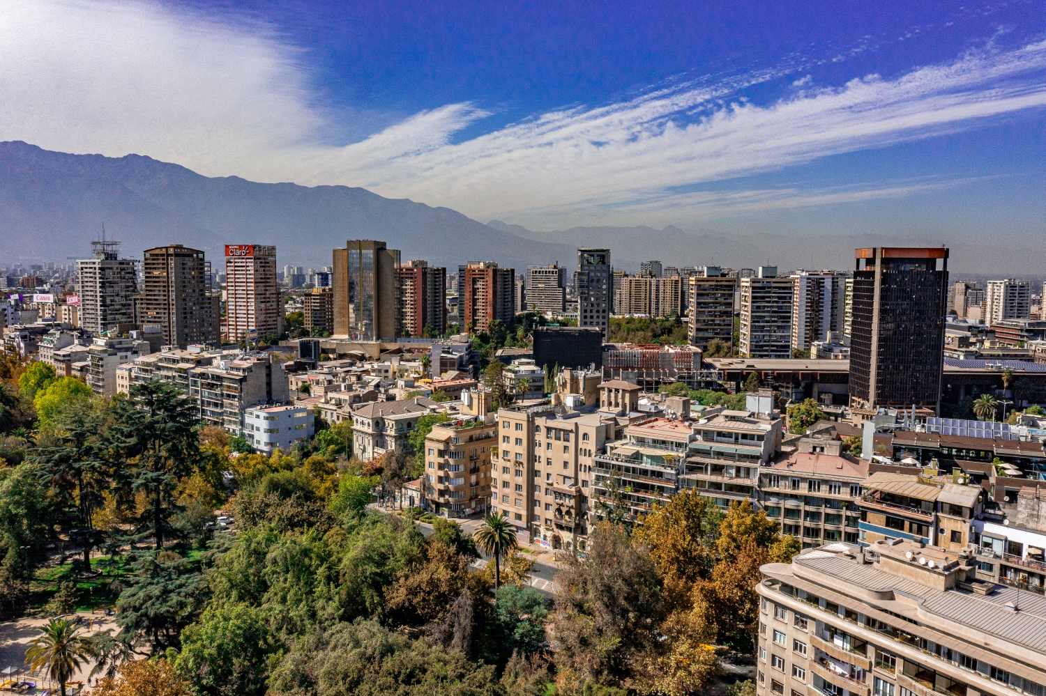
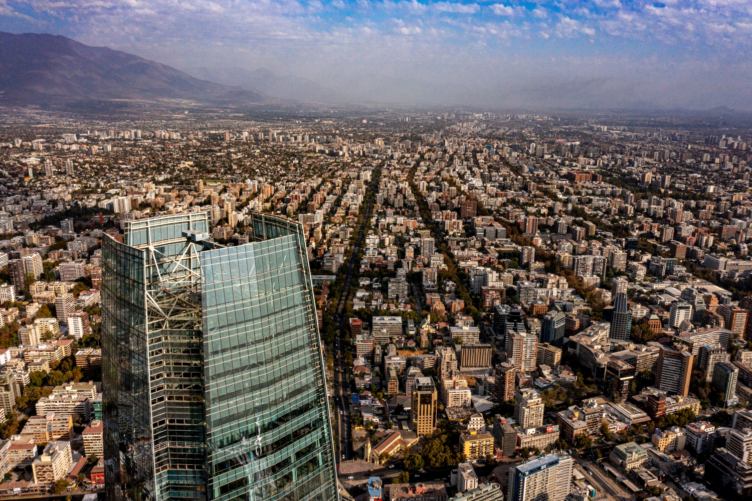
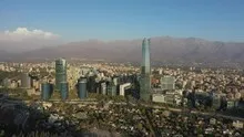
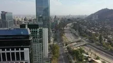

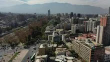
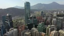
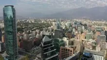

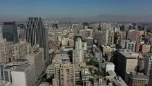
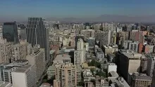
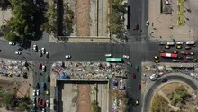
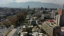
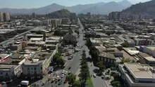
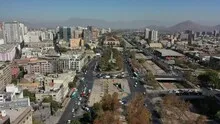

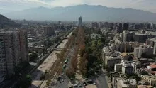
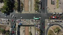
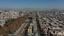
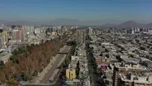
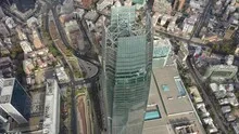
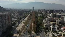
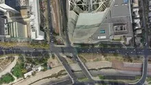
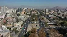
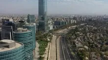

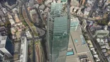
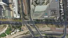
The sea of houses in Santiago de Chile
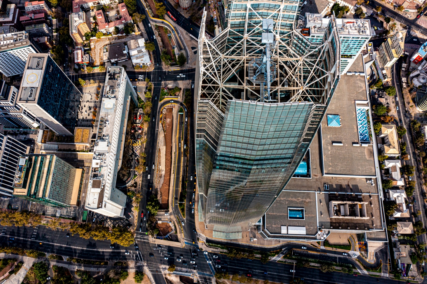
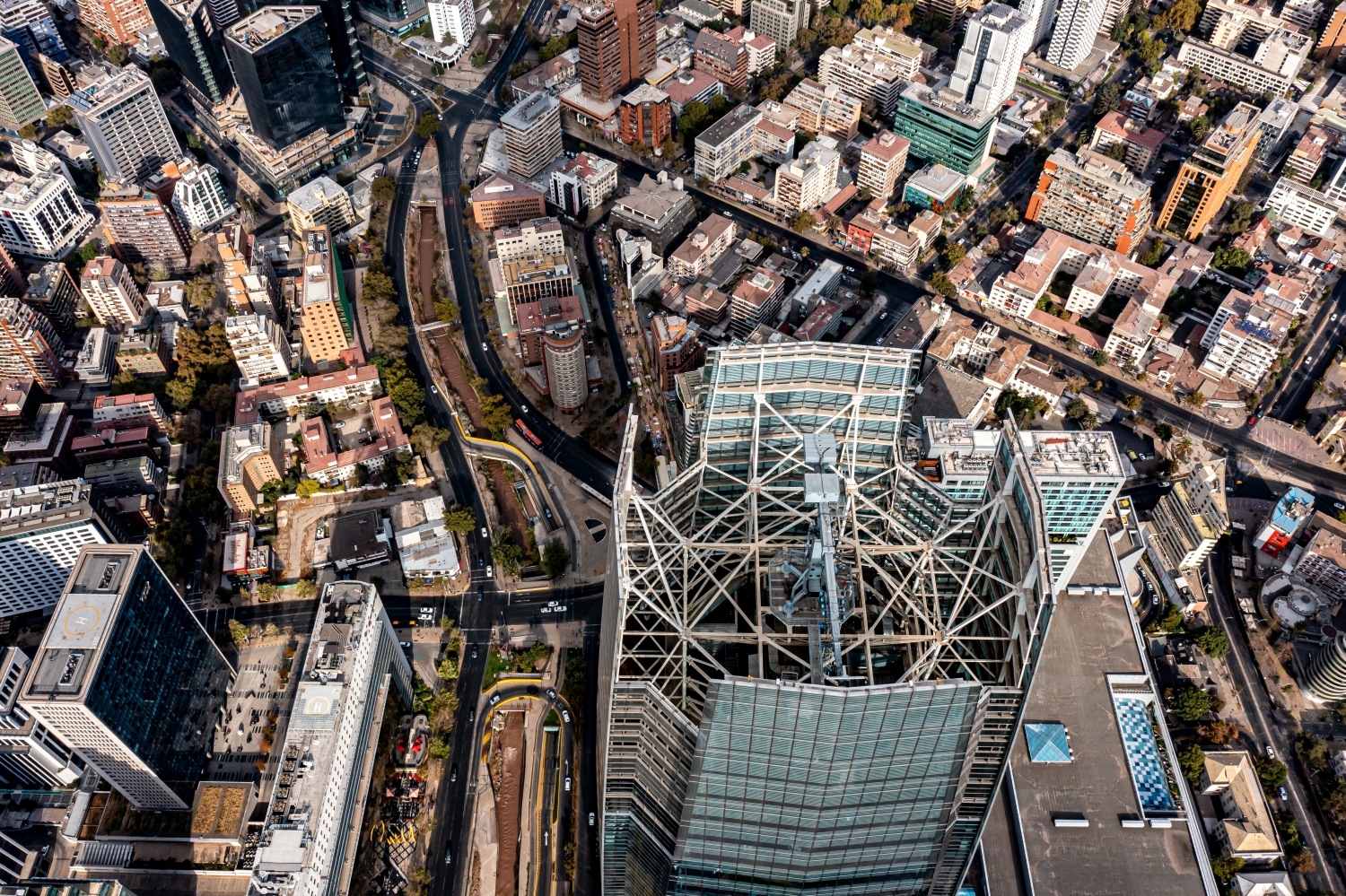
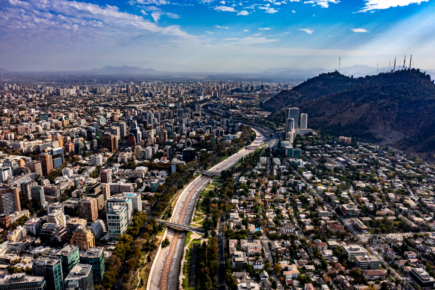
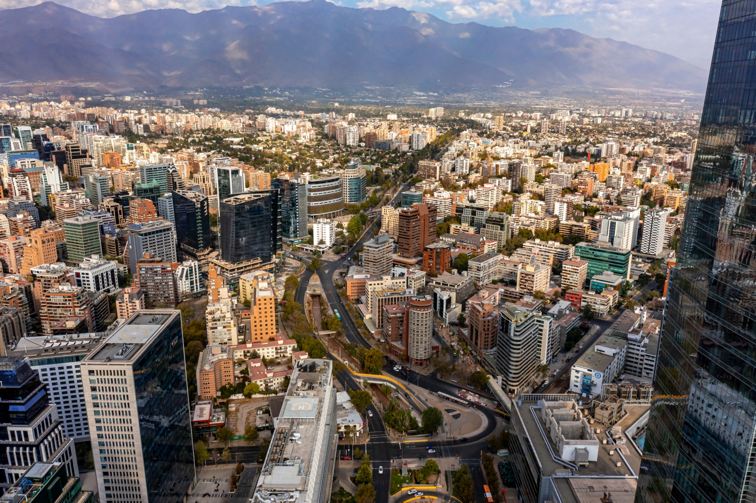
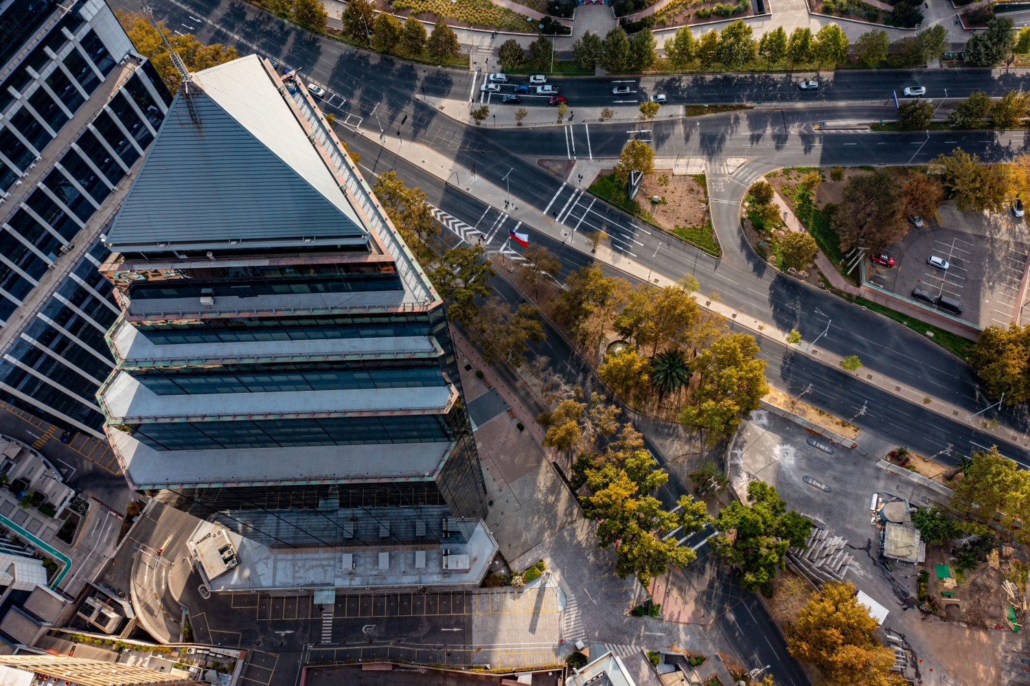
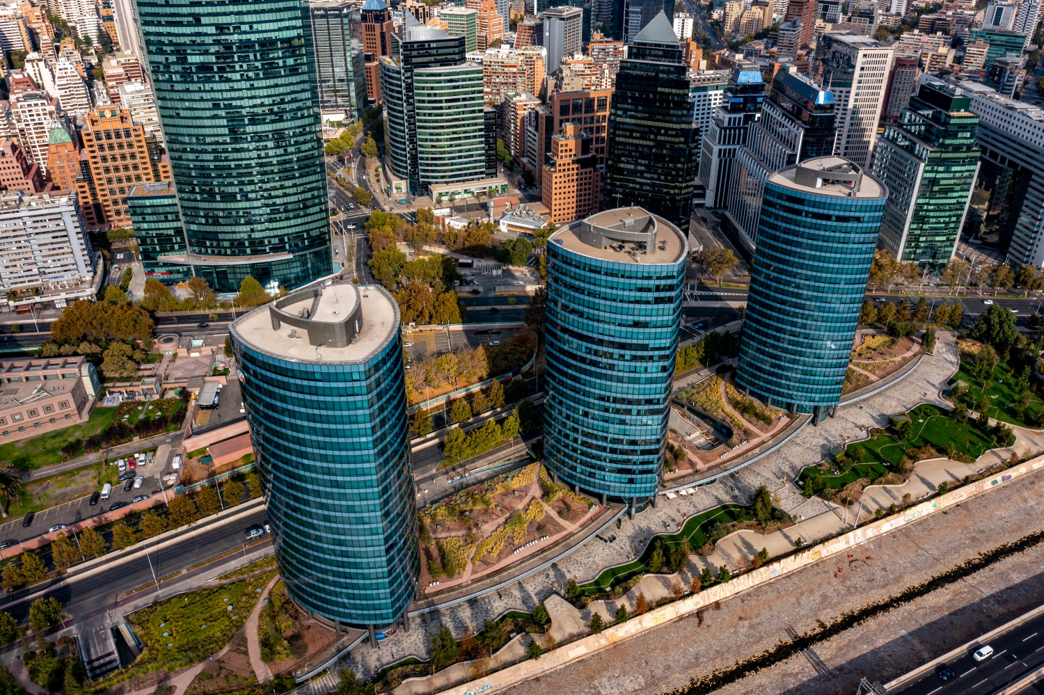
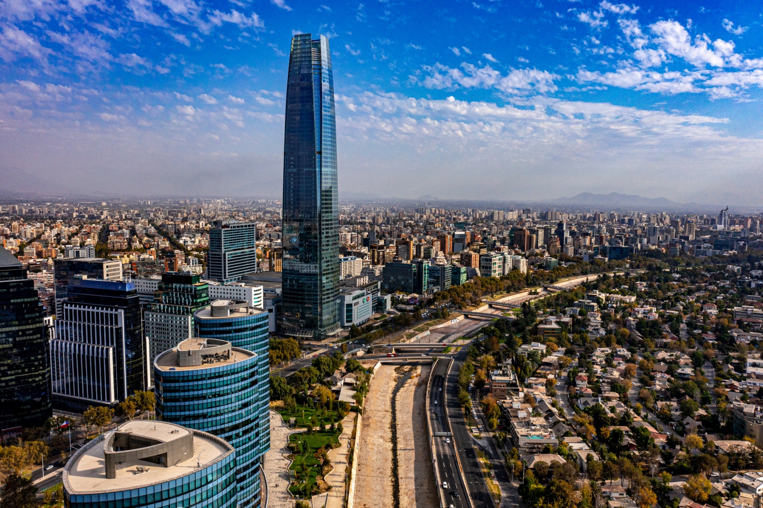
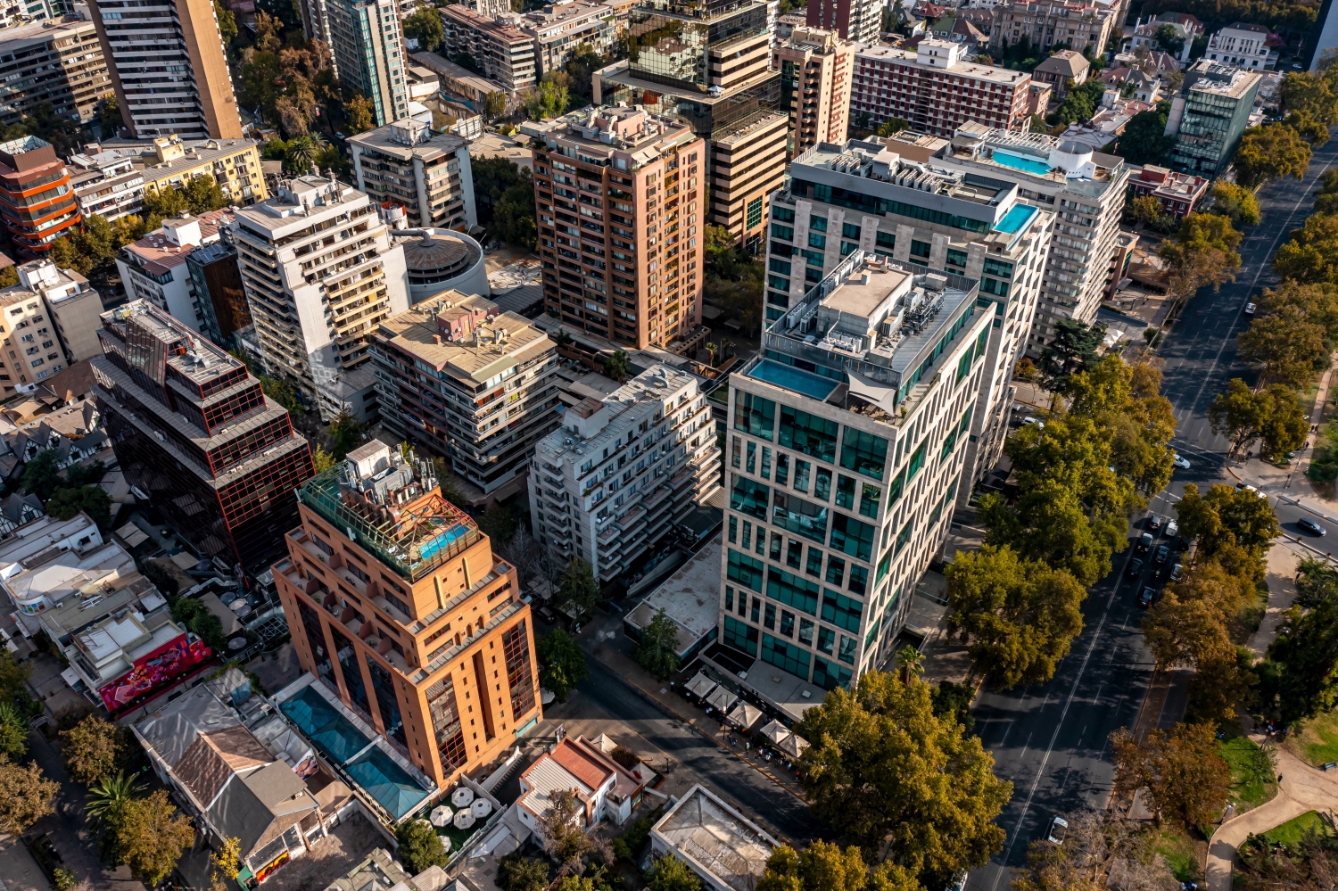
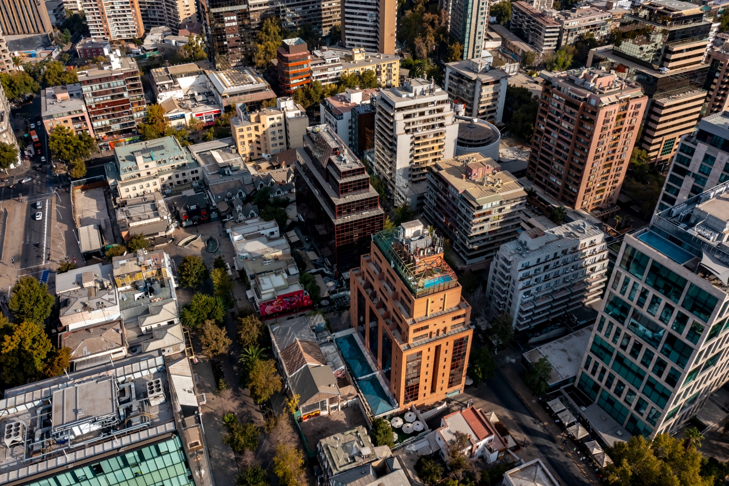
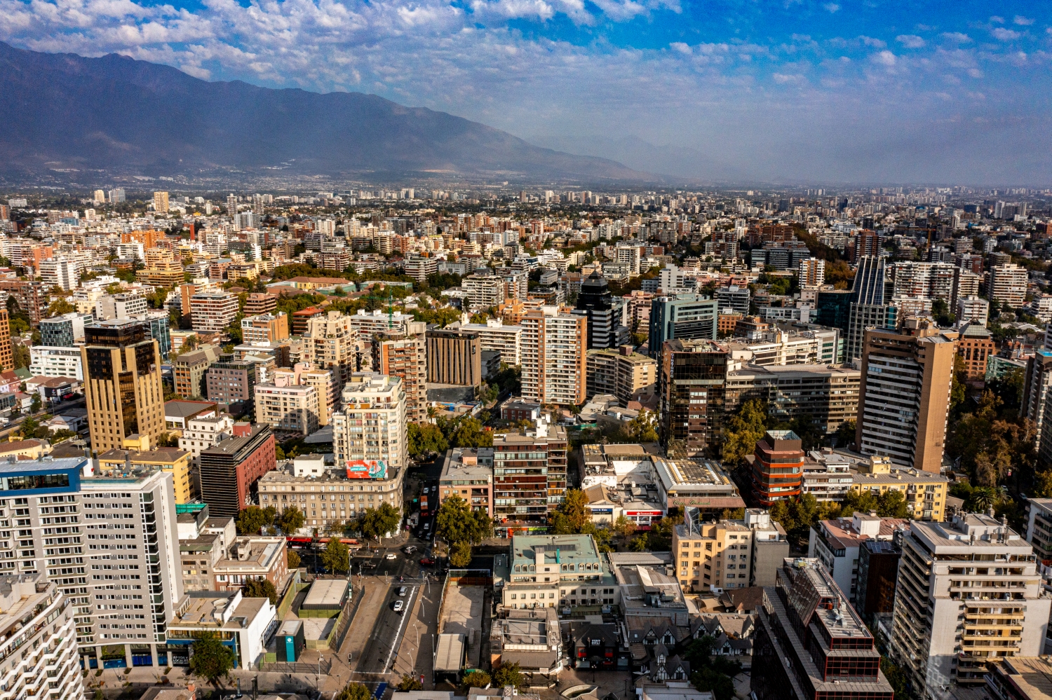
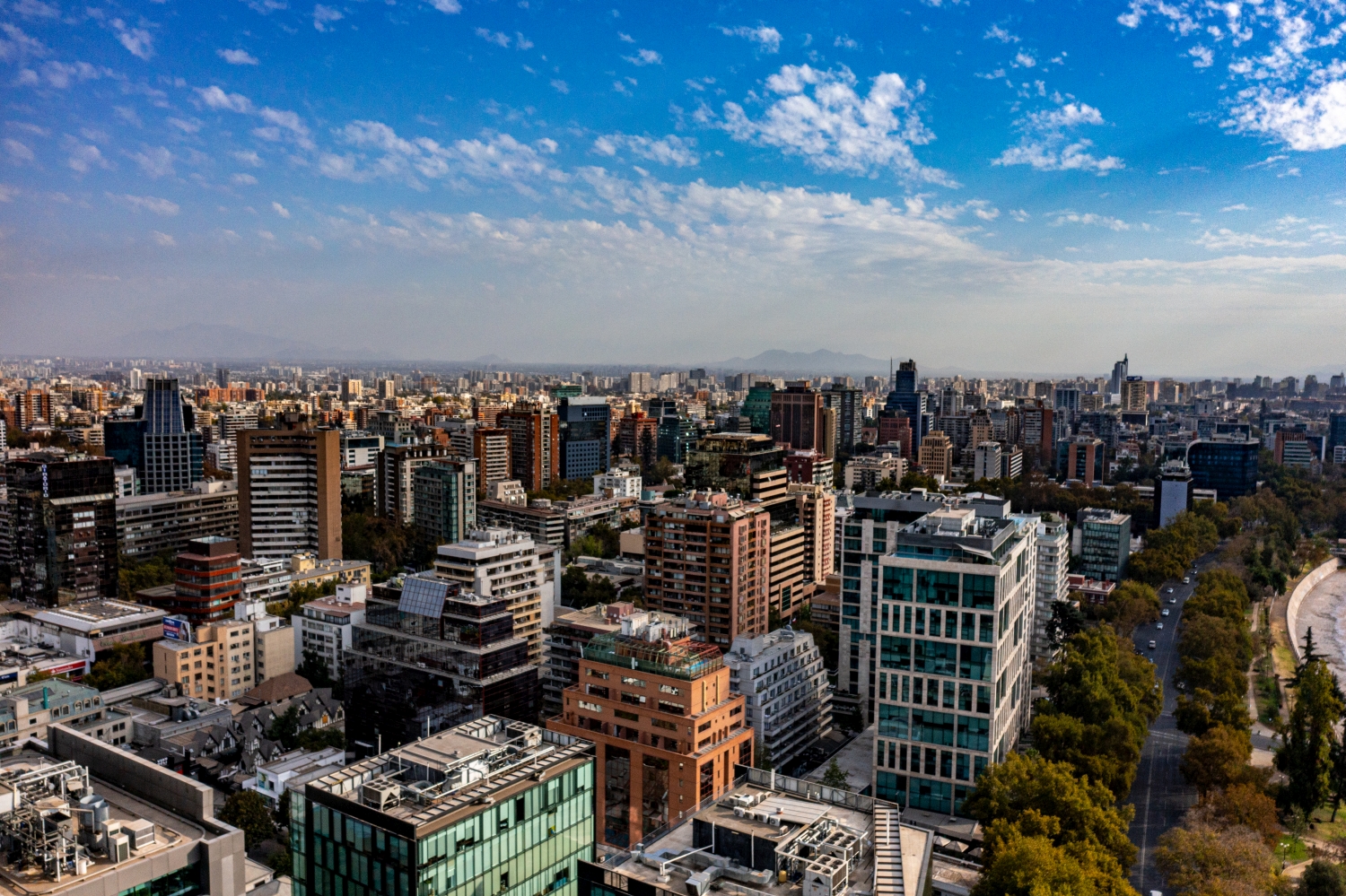
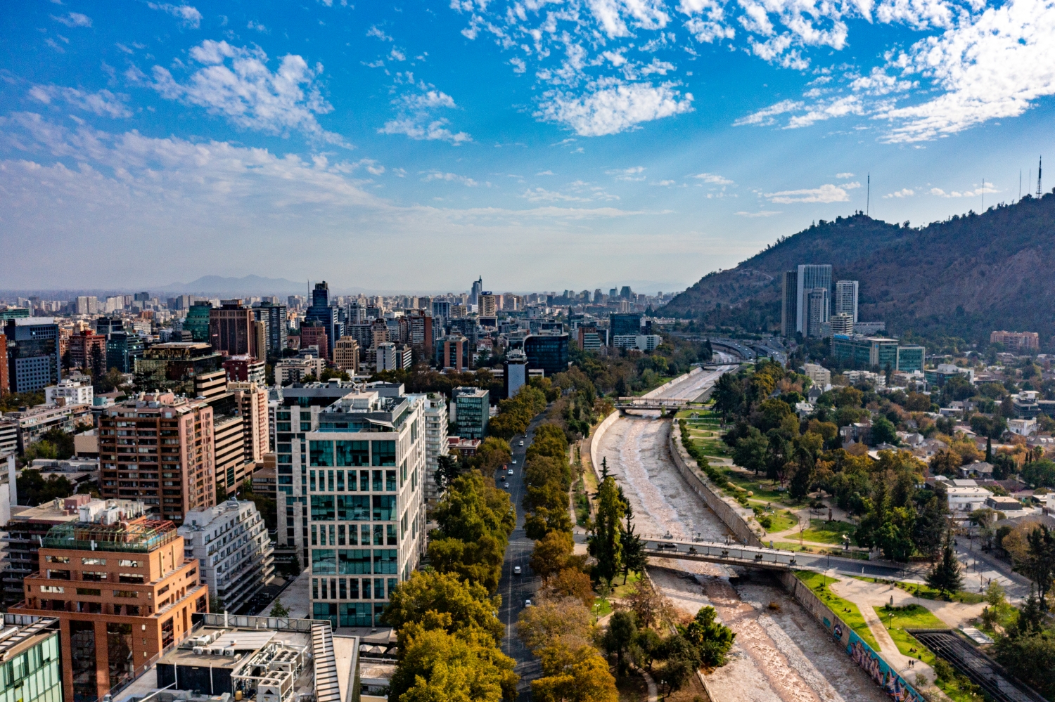
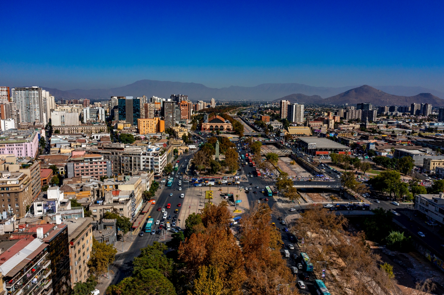
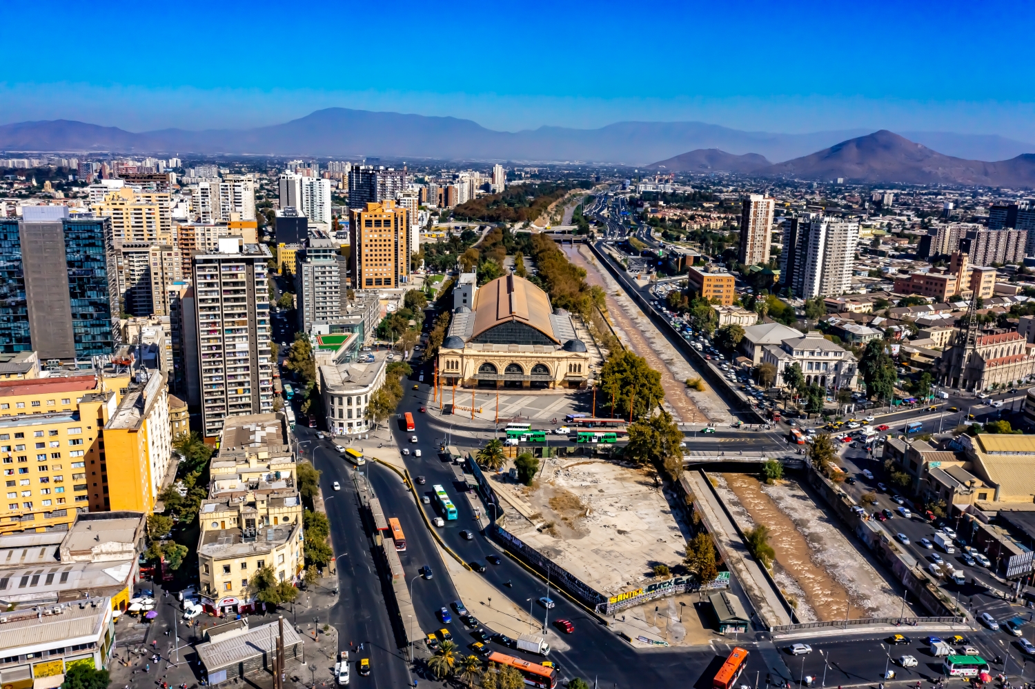
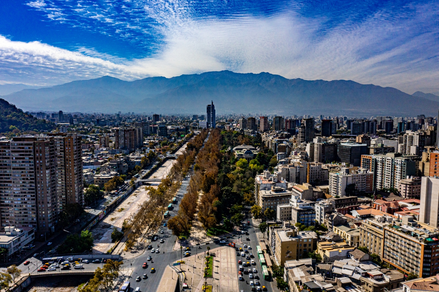
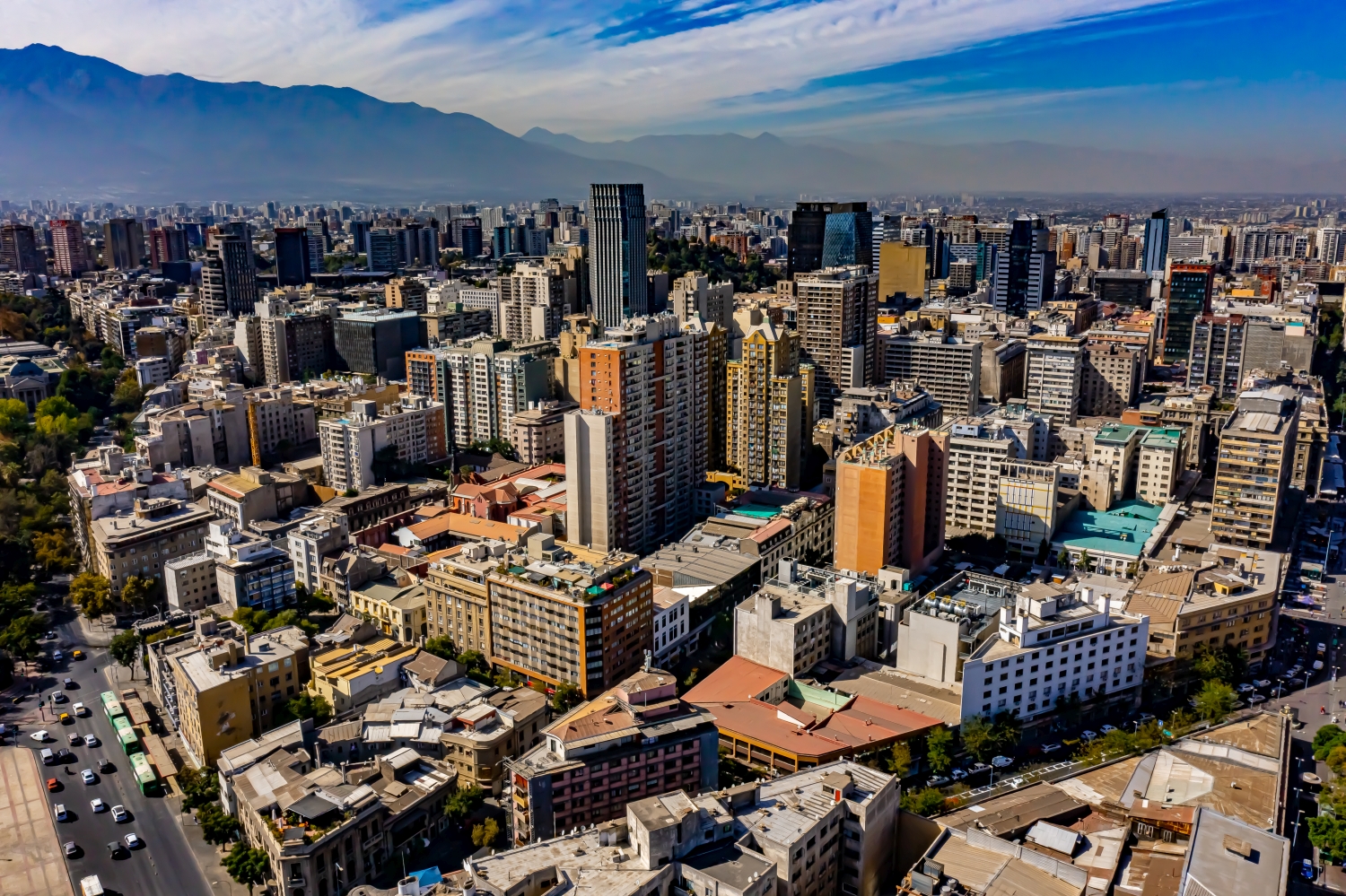
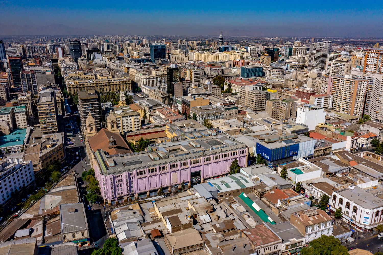
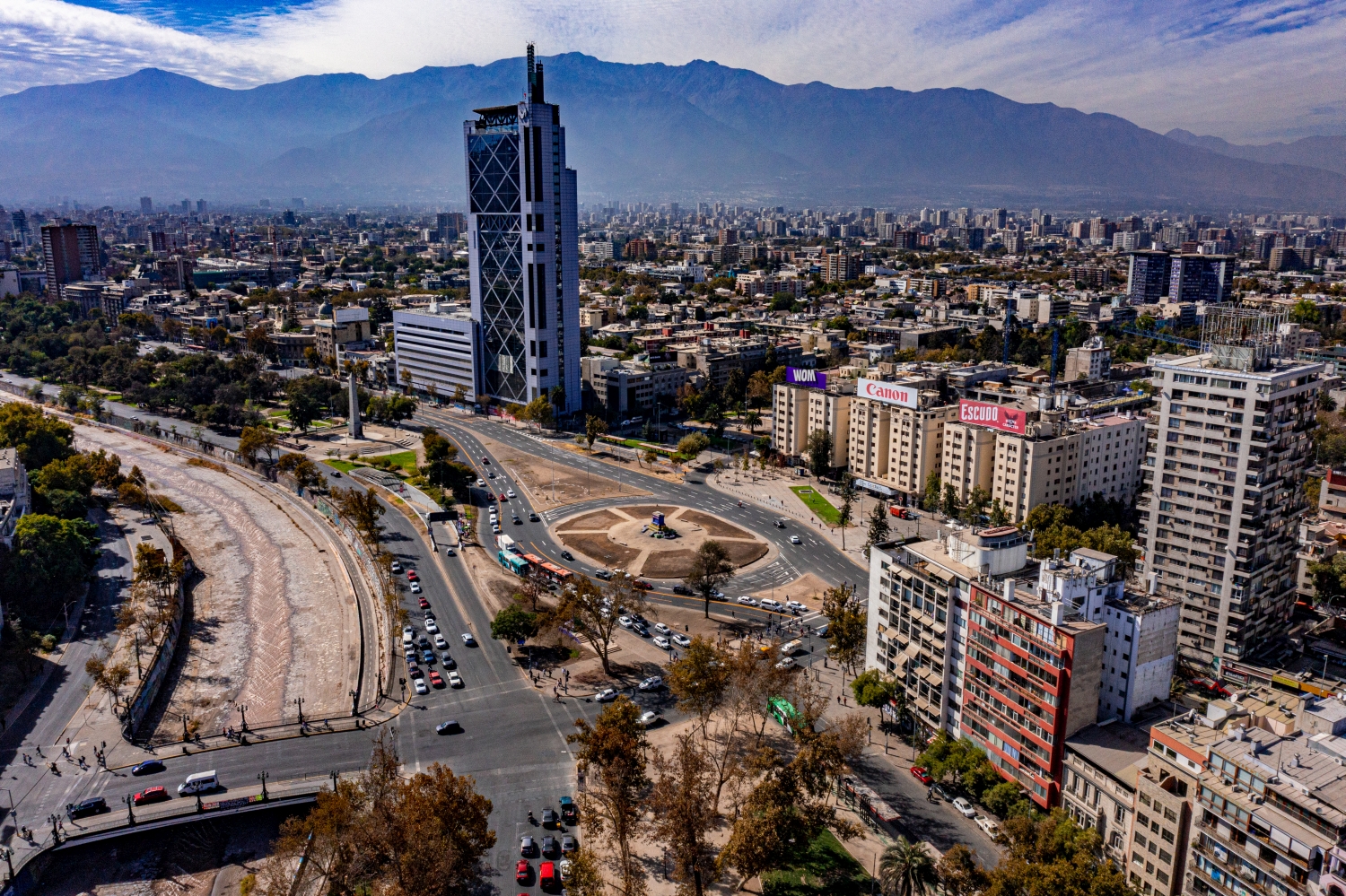
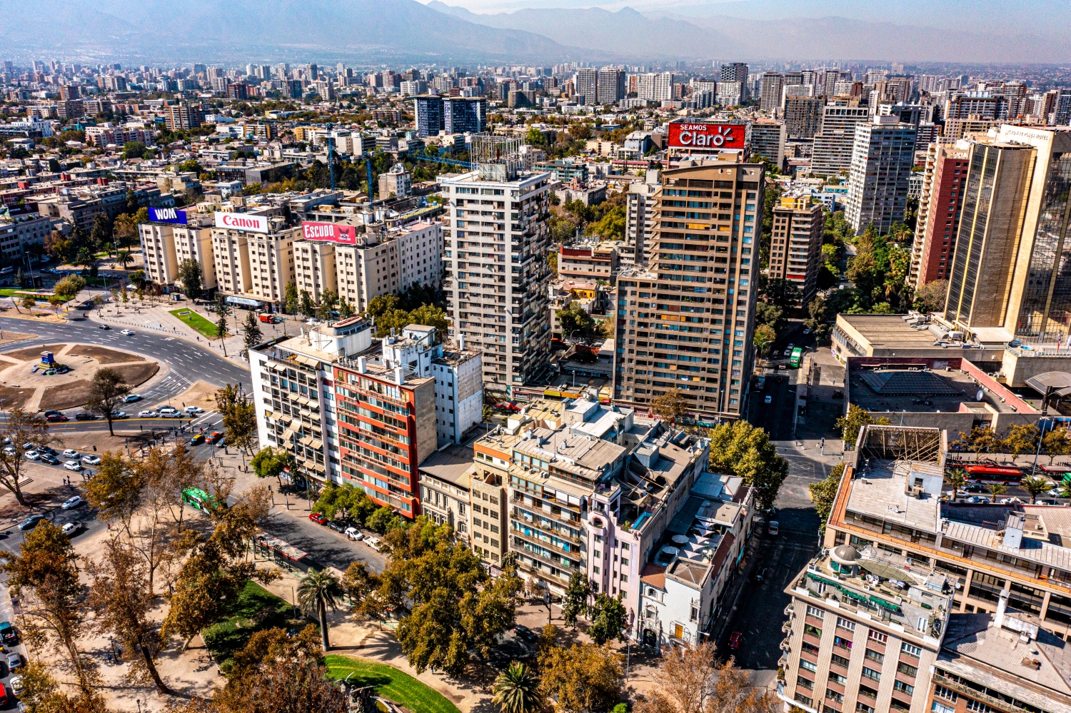
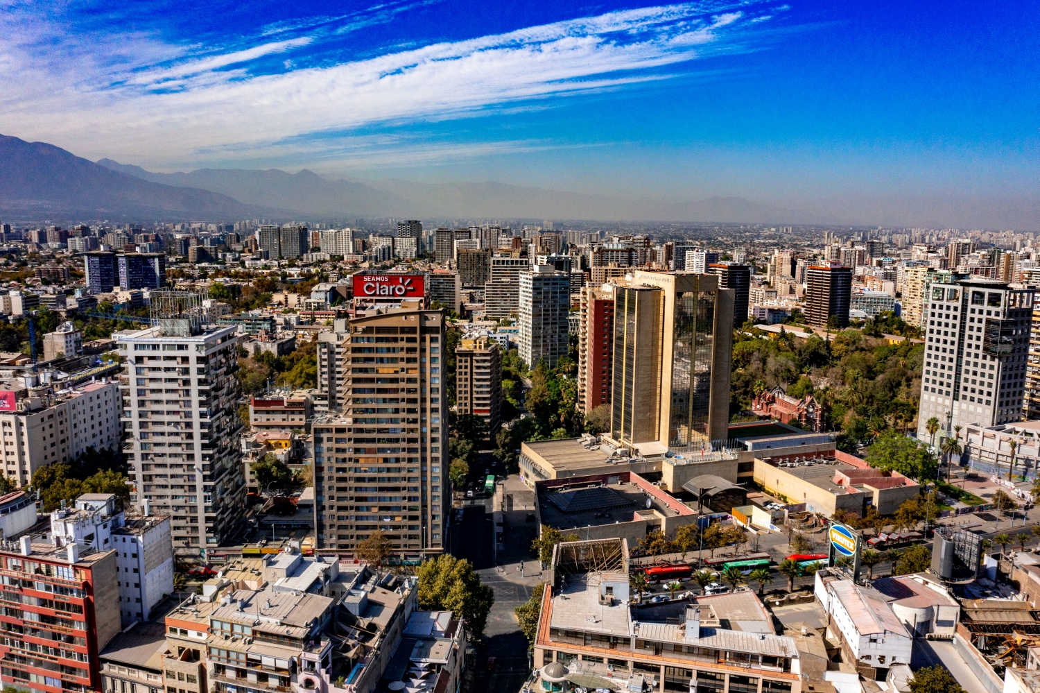
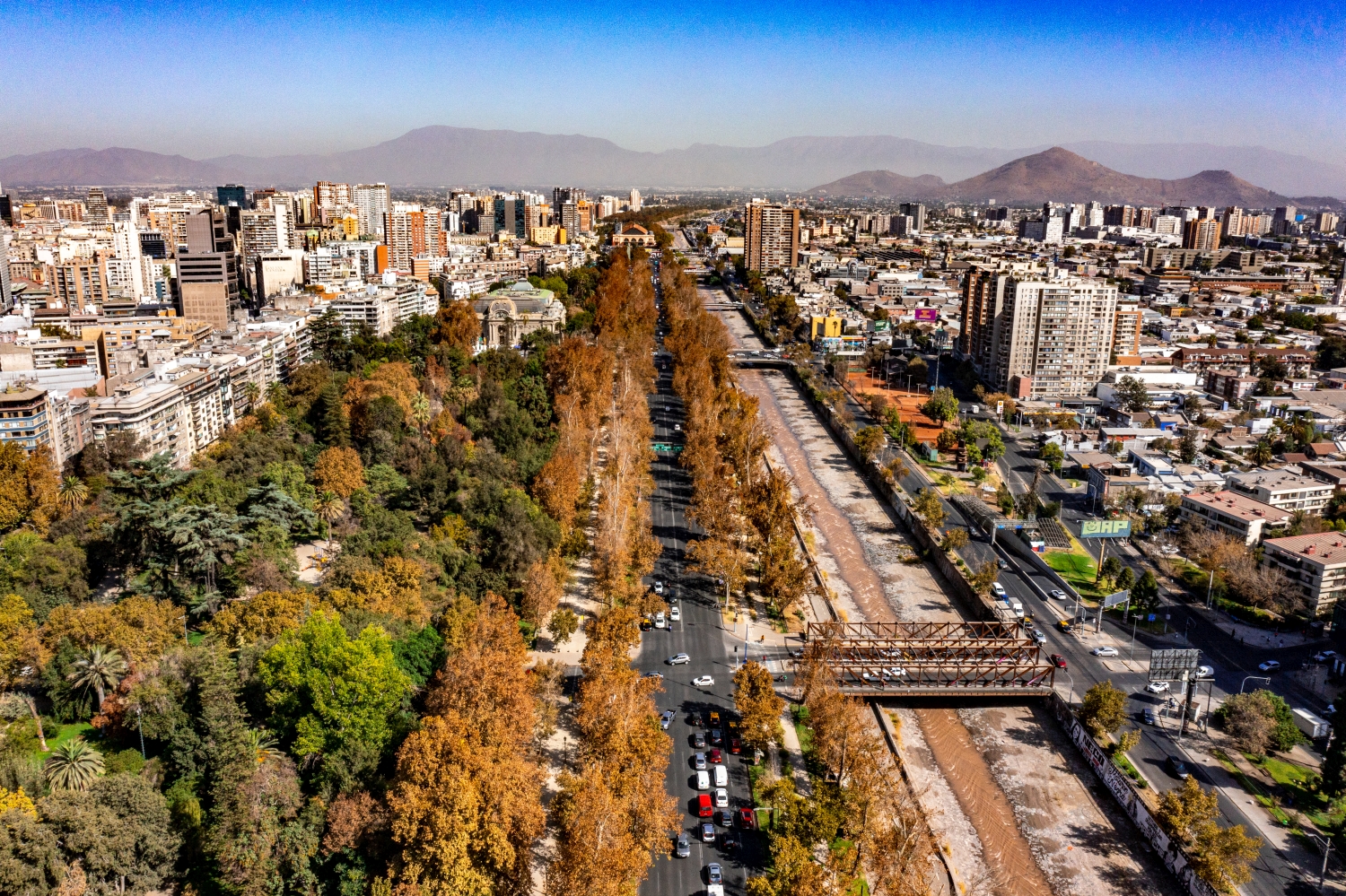
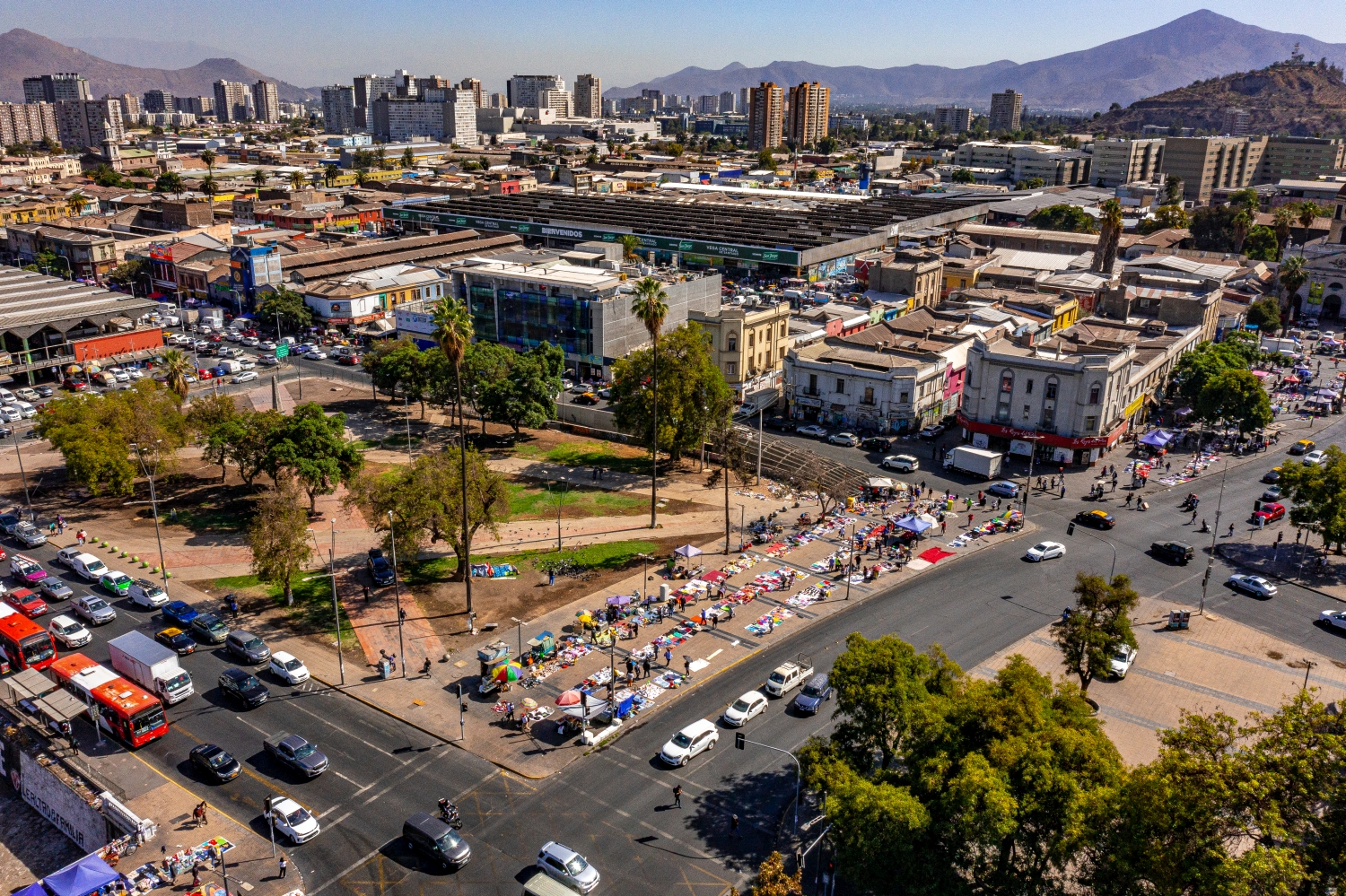
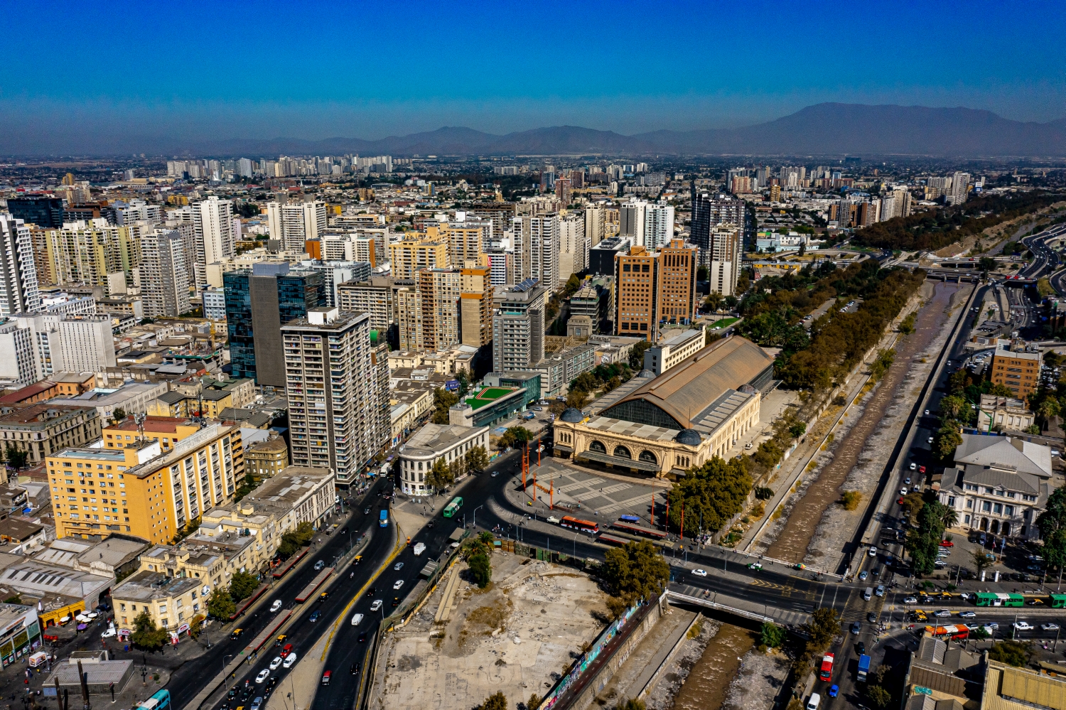
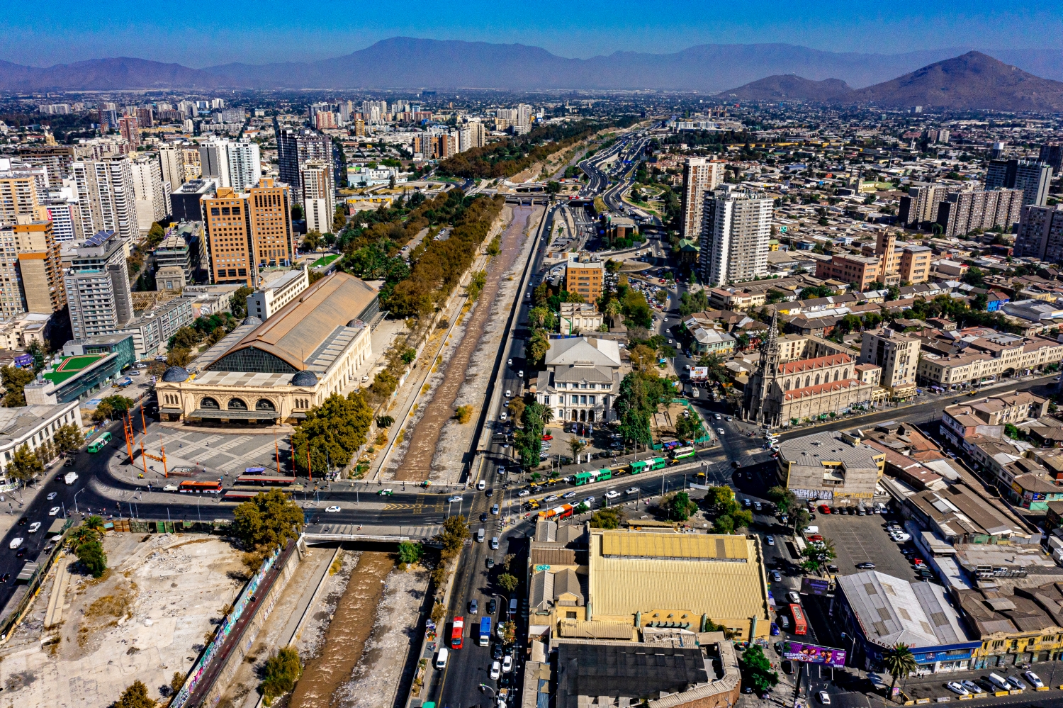
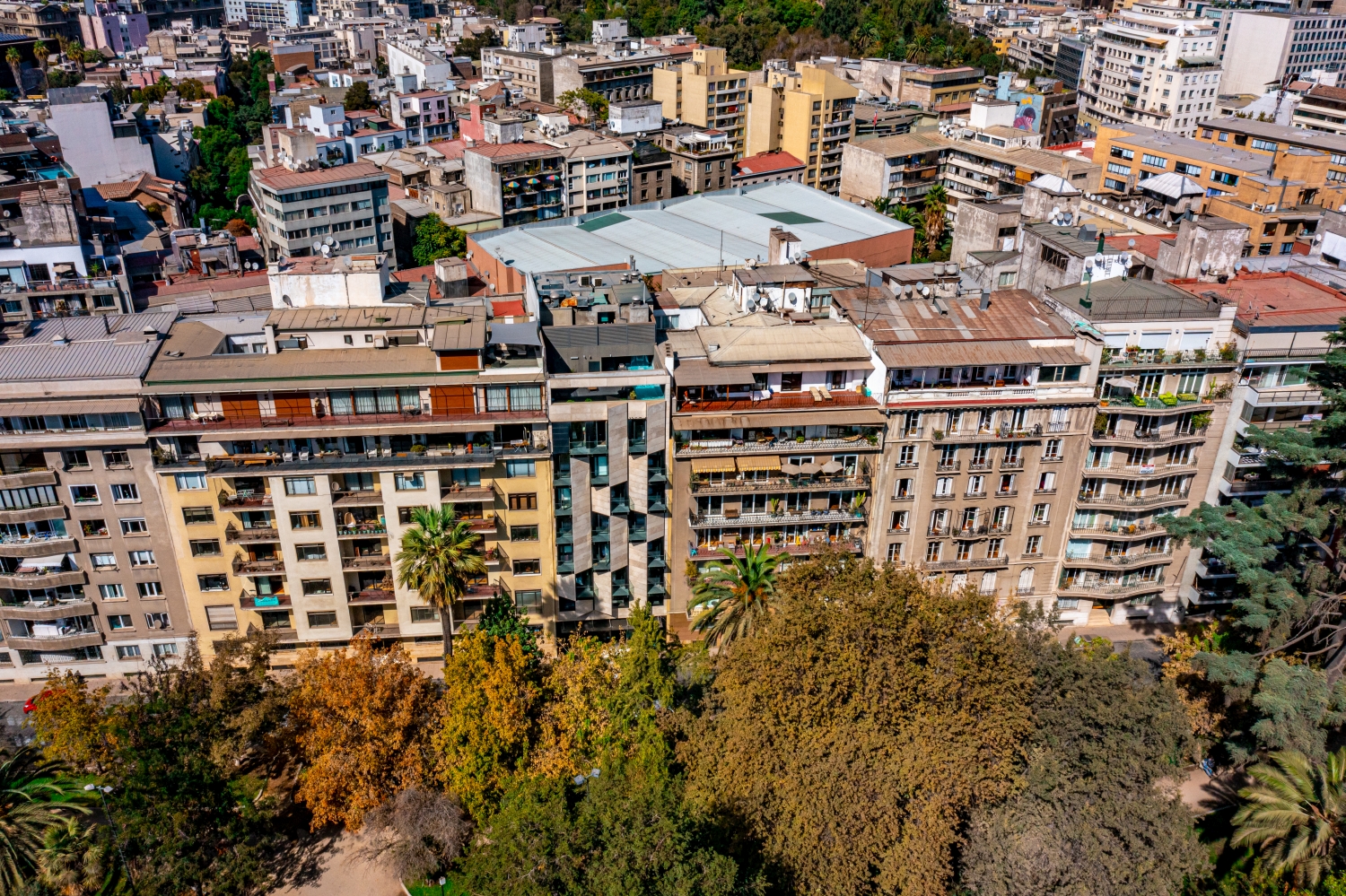
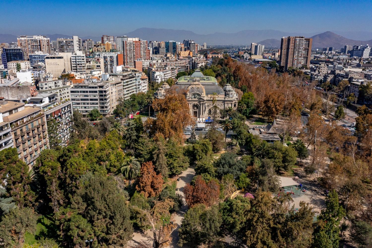
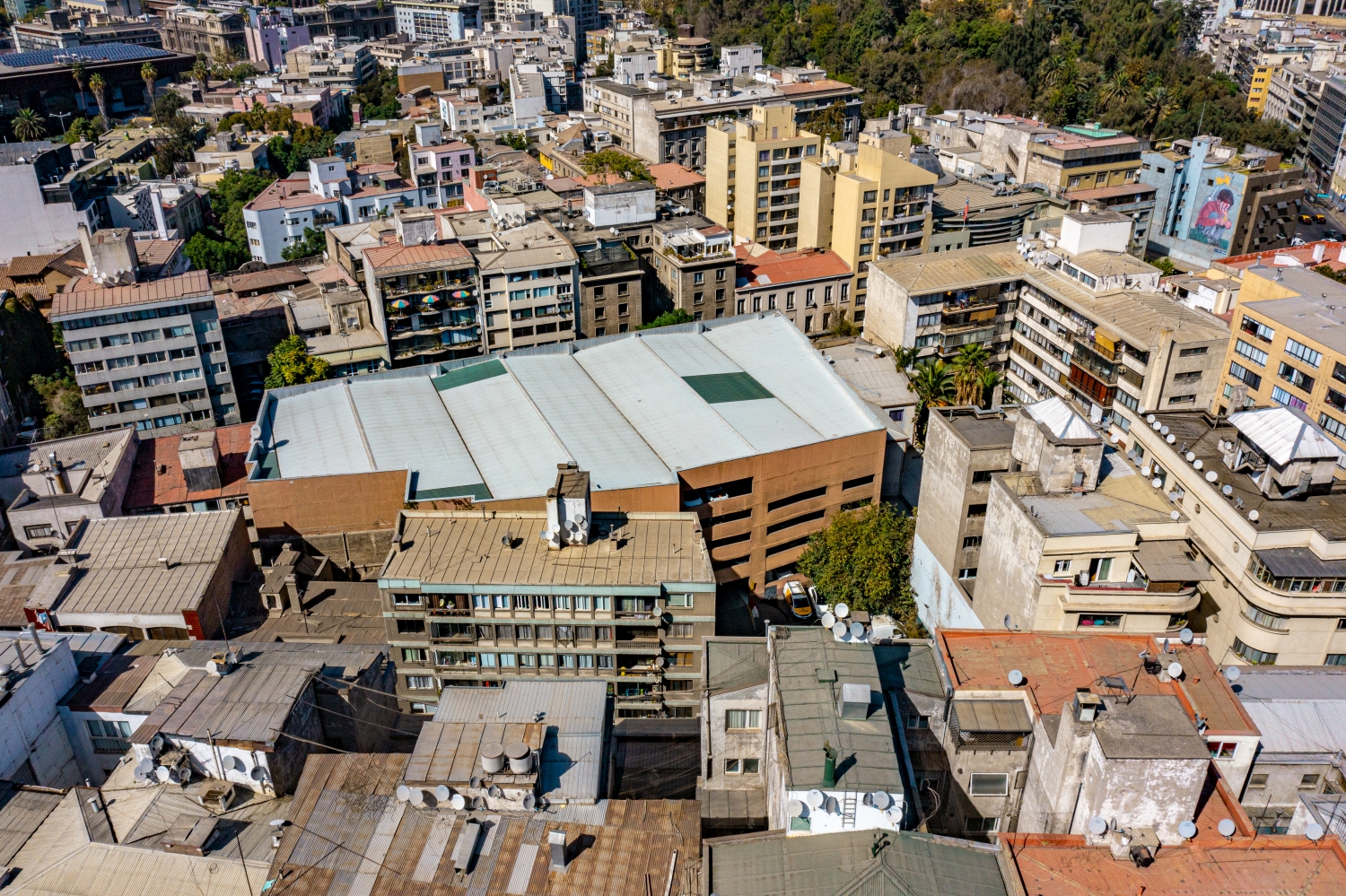
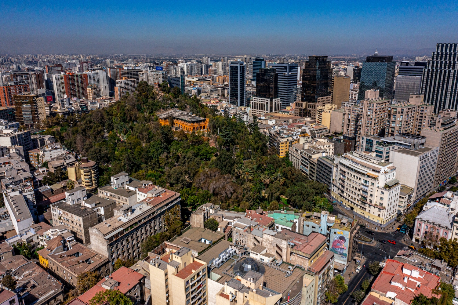
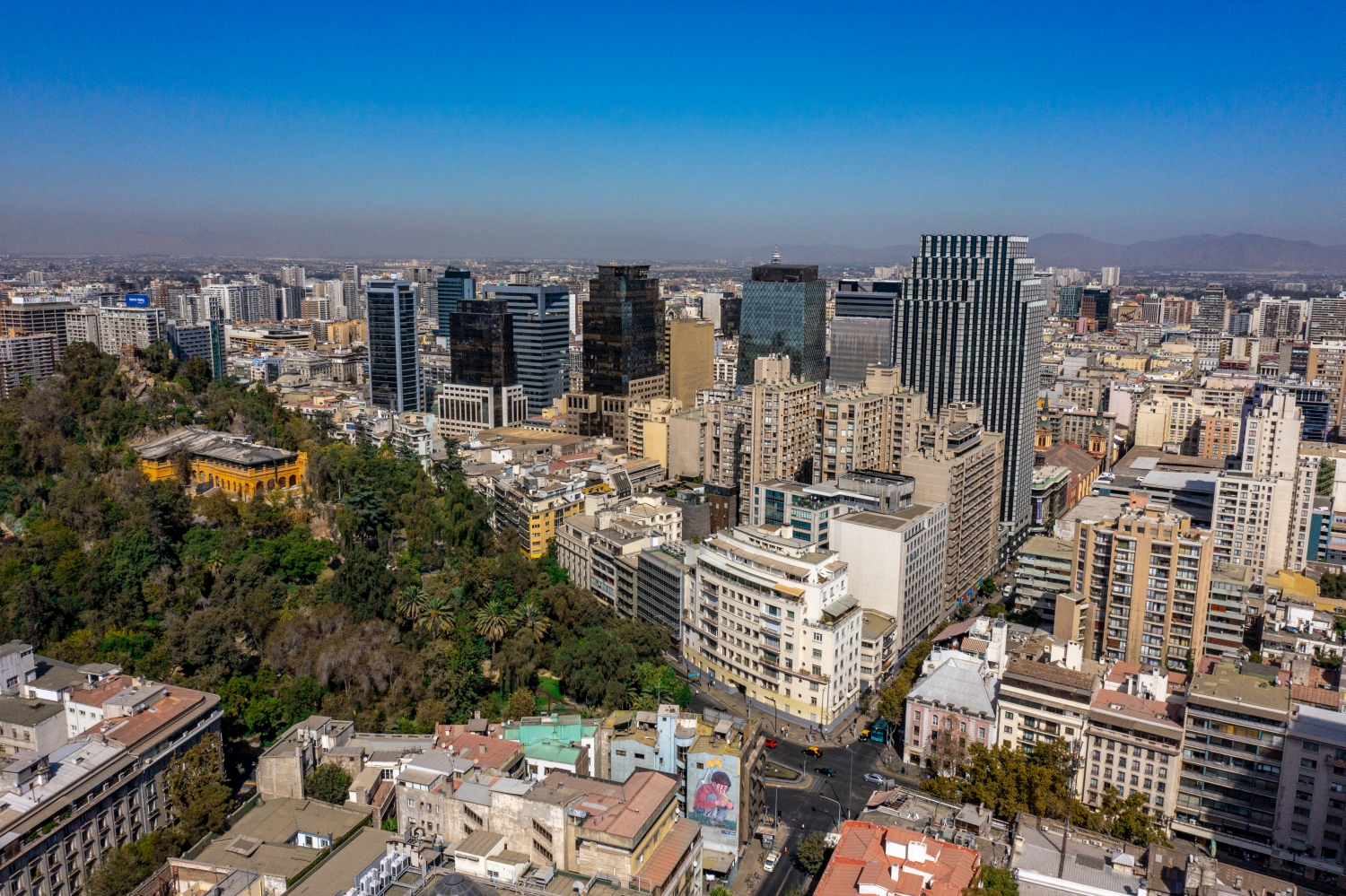
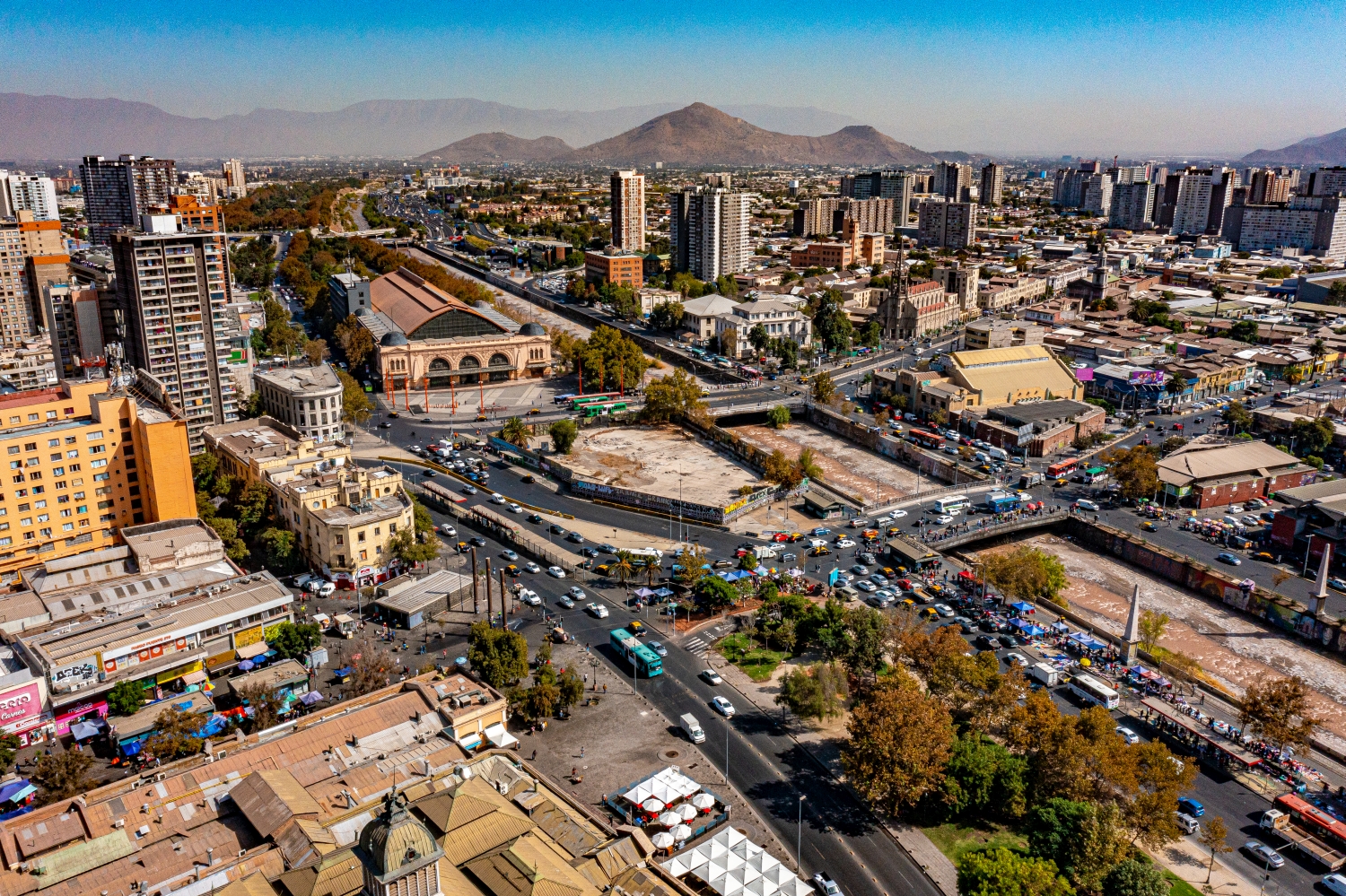
Above Santiago de Chile, the development extends far into the distance. Larger buildings rise from a dense carpet of smaller roofs. In clearer places, the mountains loom behind and limit the view over the Chilean capital.
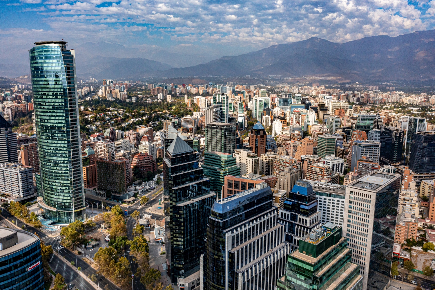
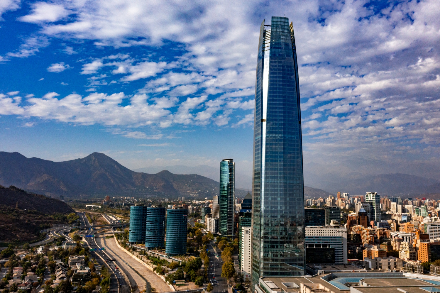
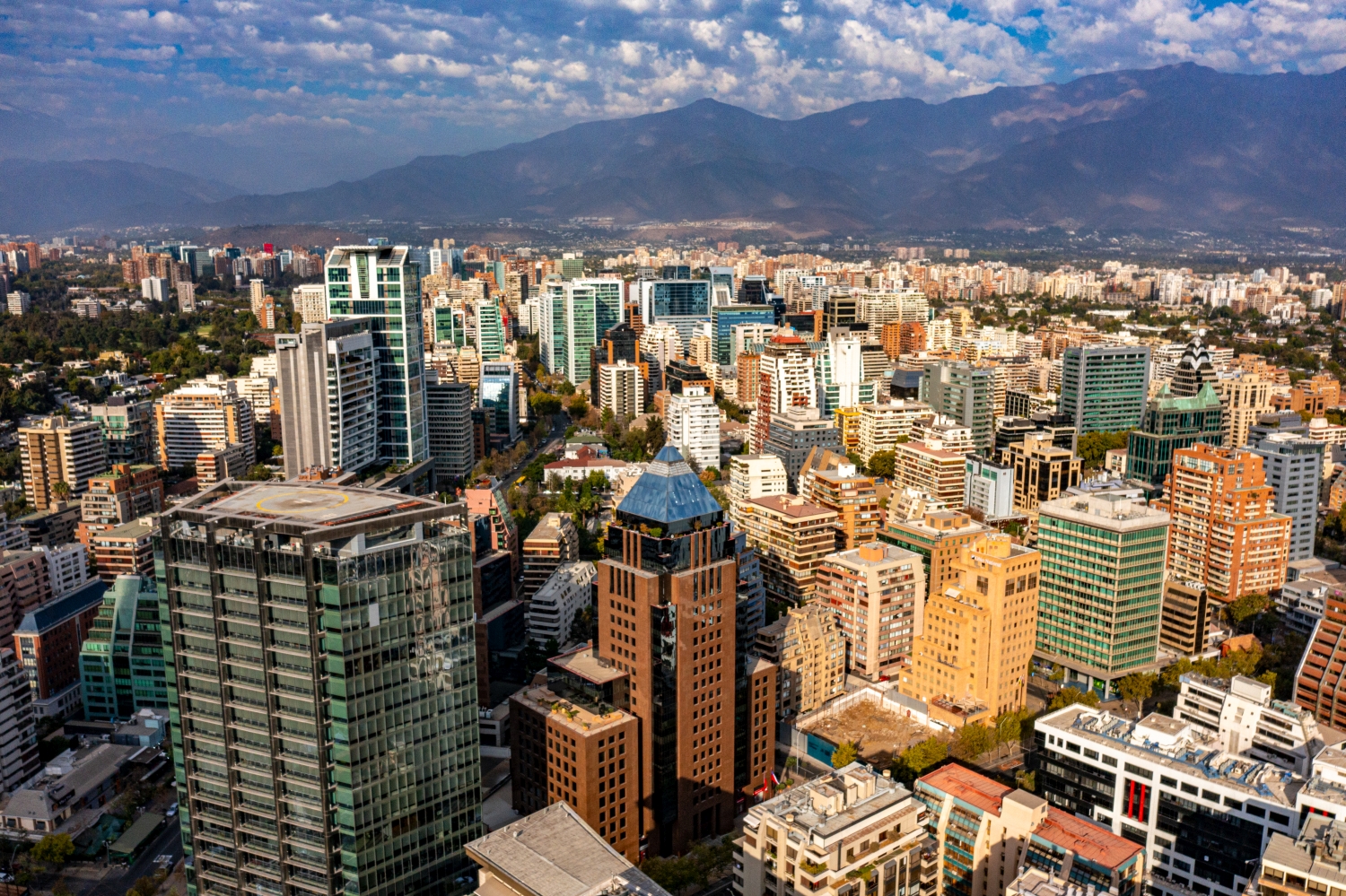
The skyline in front of the mountains
In Santiago de Chile, the size of the city becomes apparent through repetition. The front houses can still be seen individually, and towards the distance the buildings form a band.
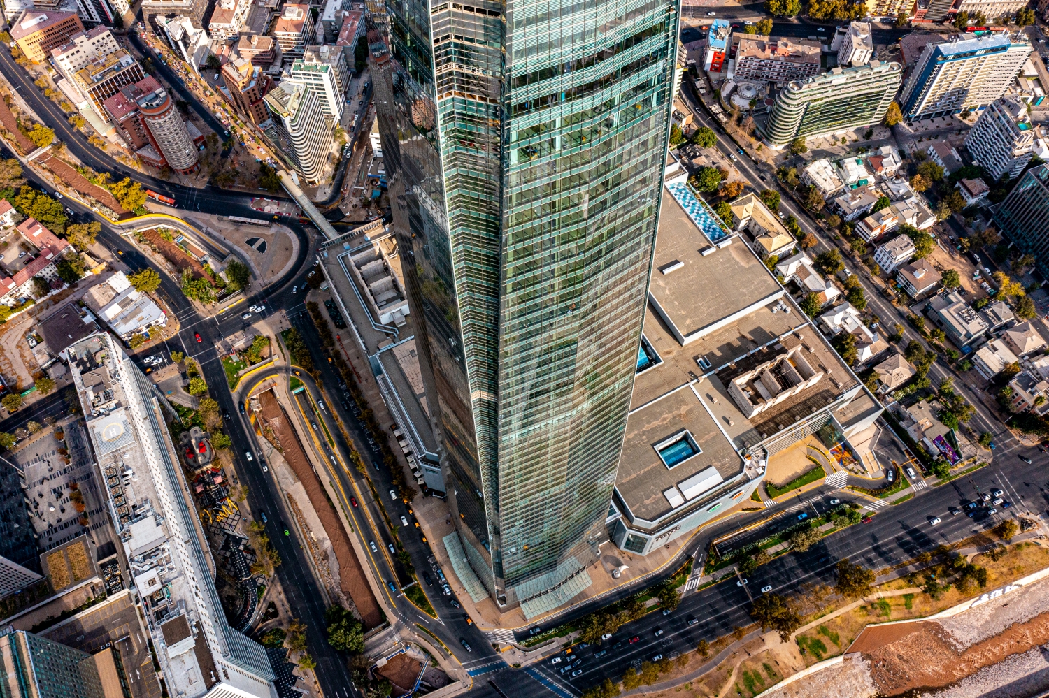
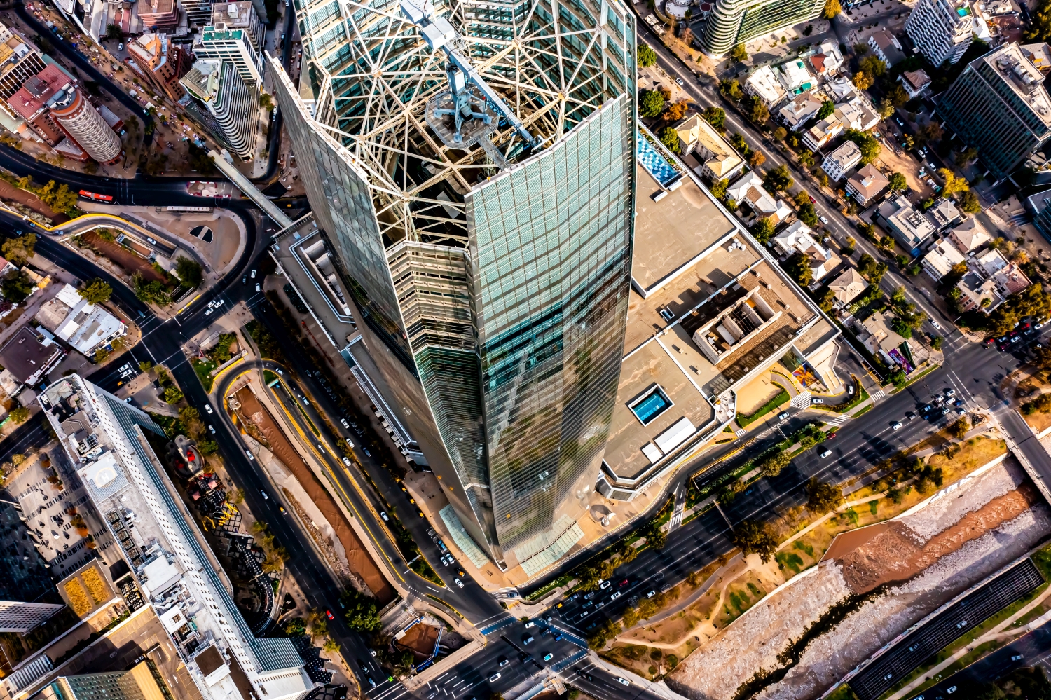
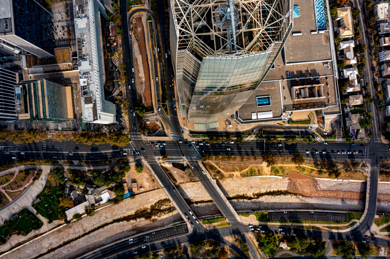
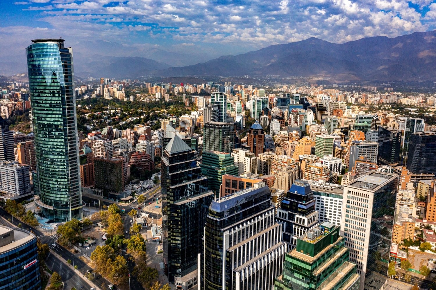
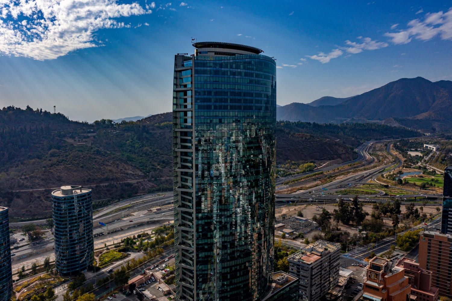
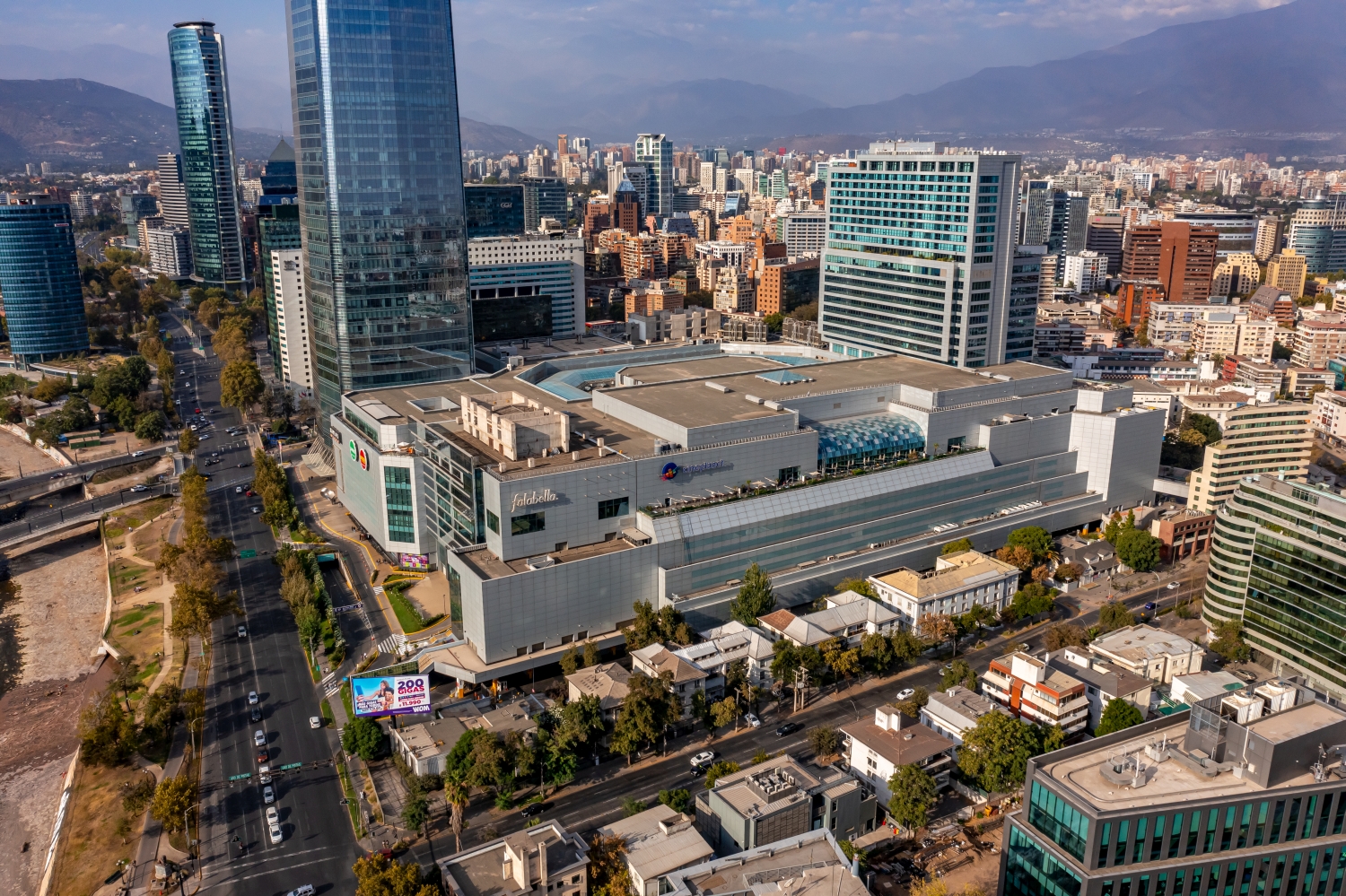
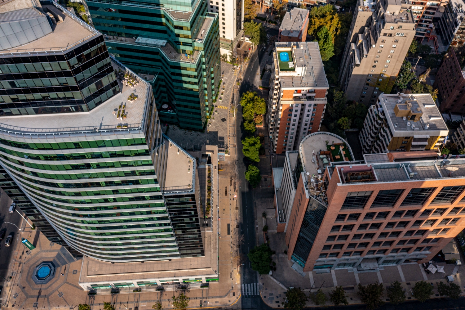
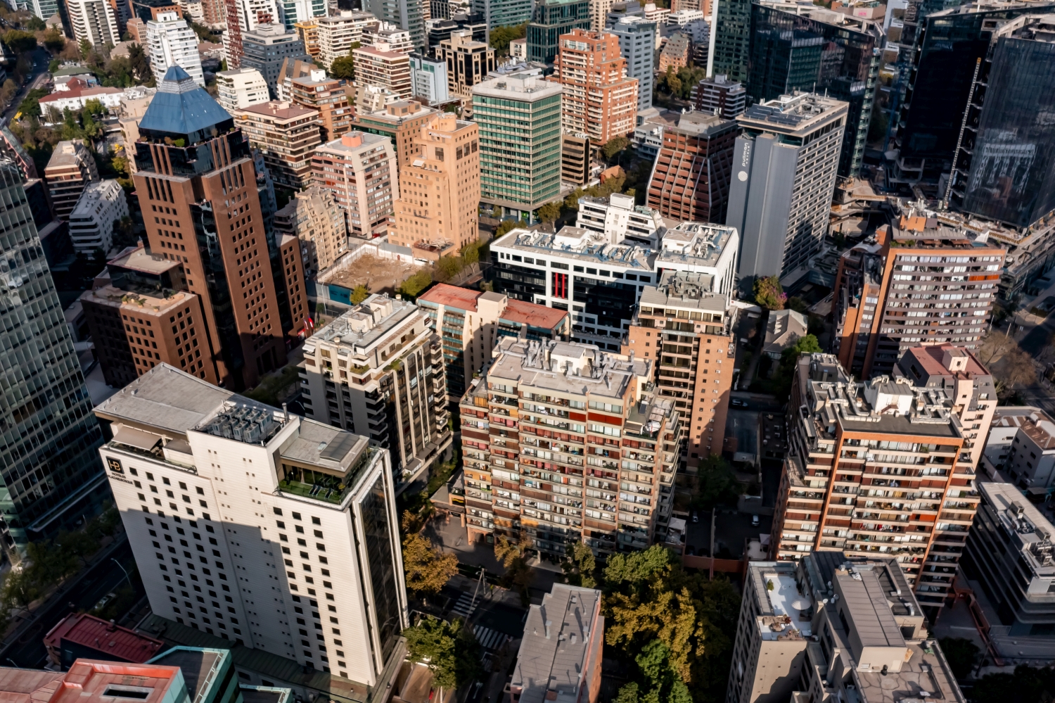
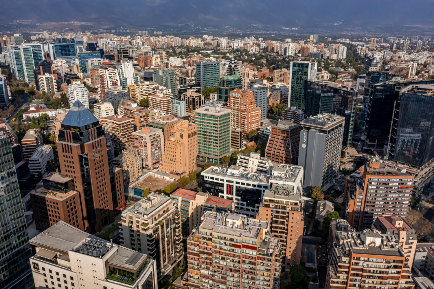
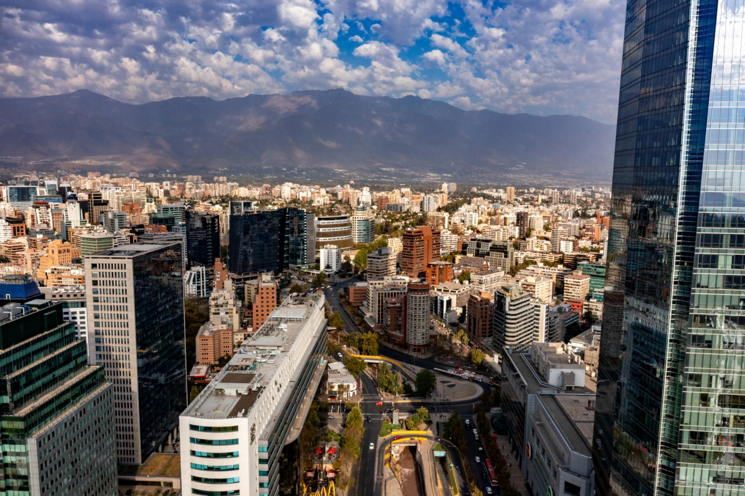
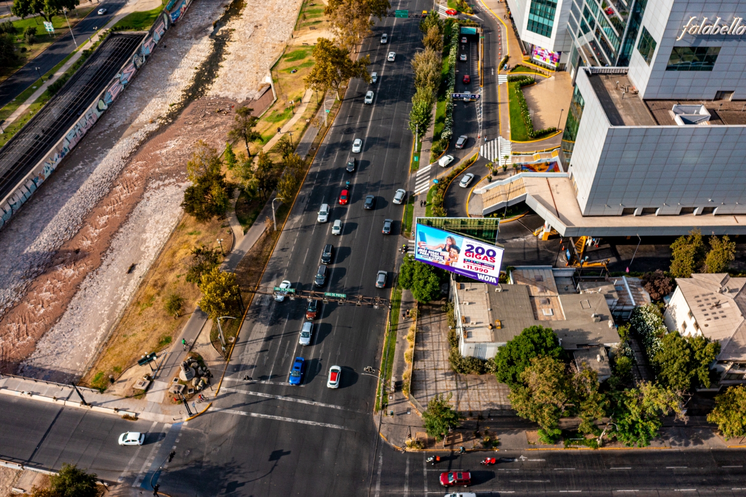
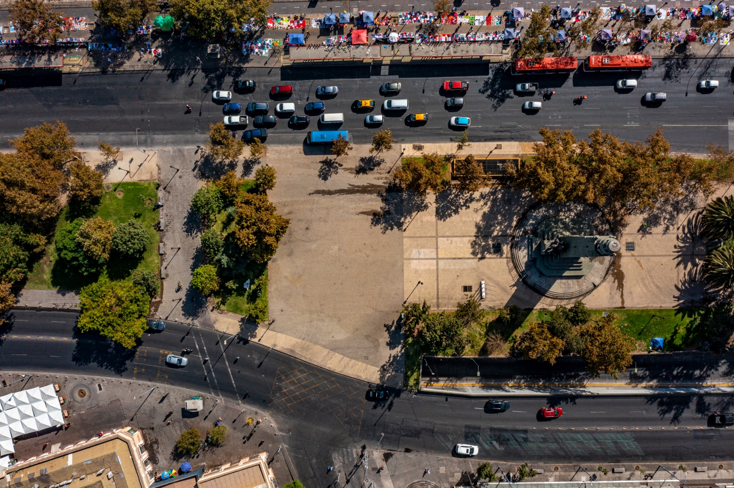
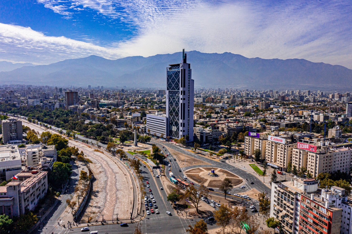
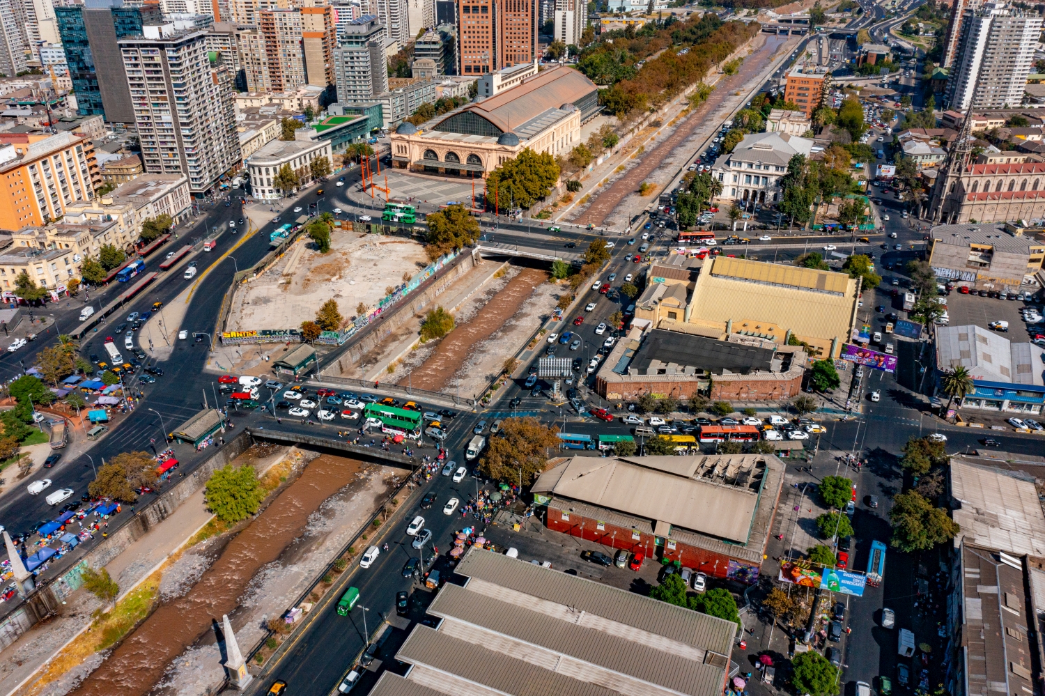
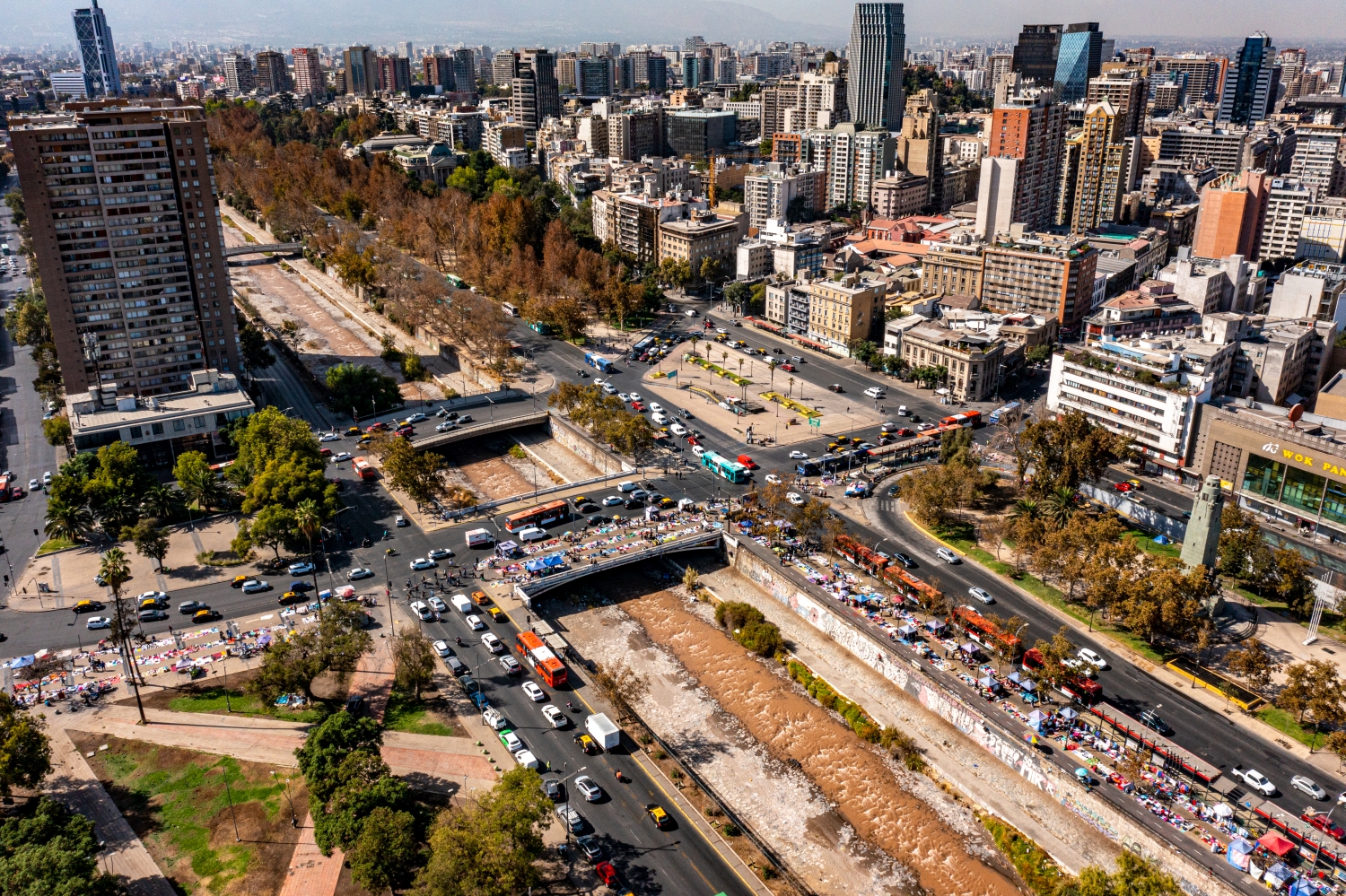
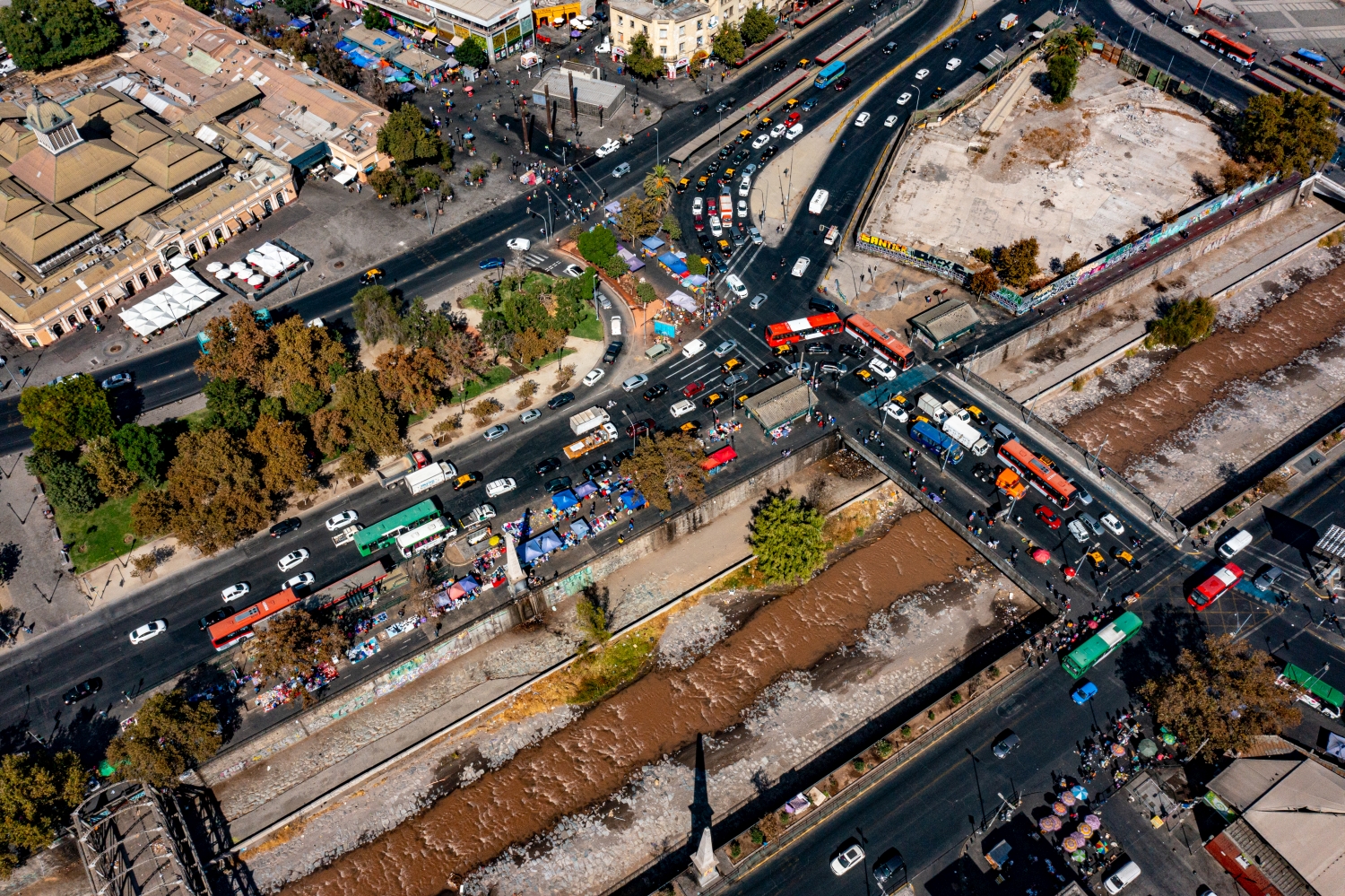
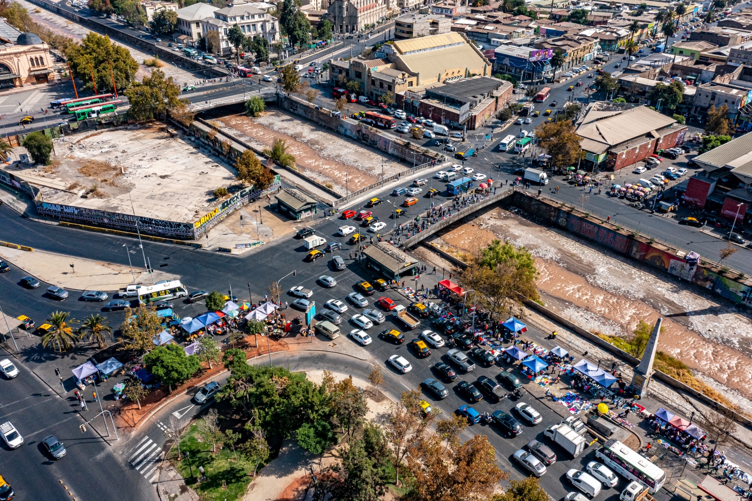
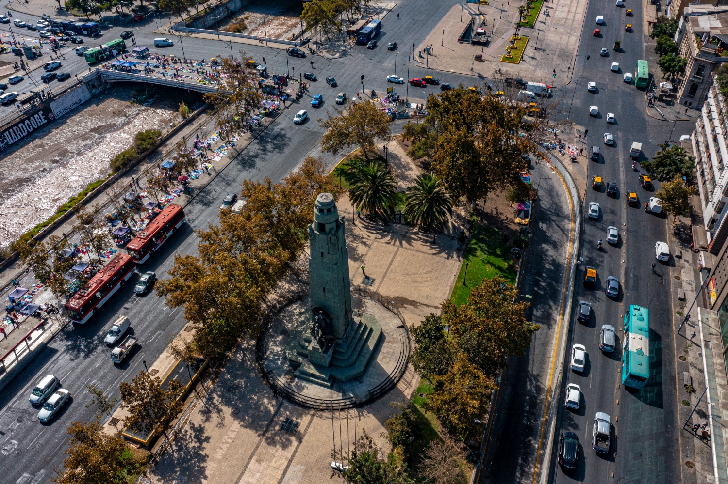
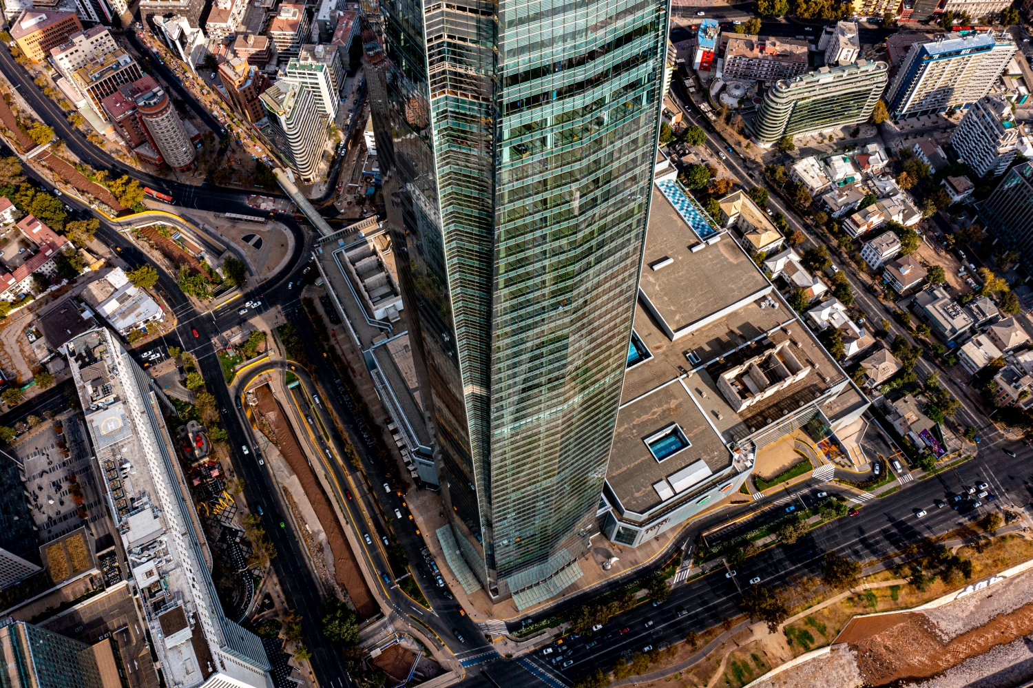
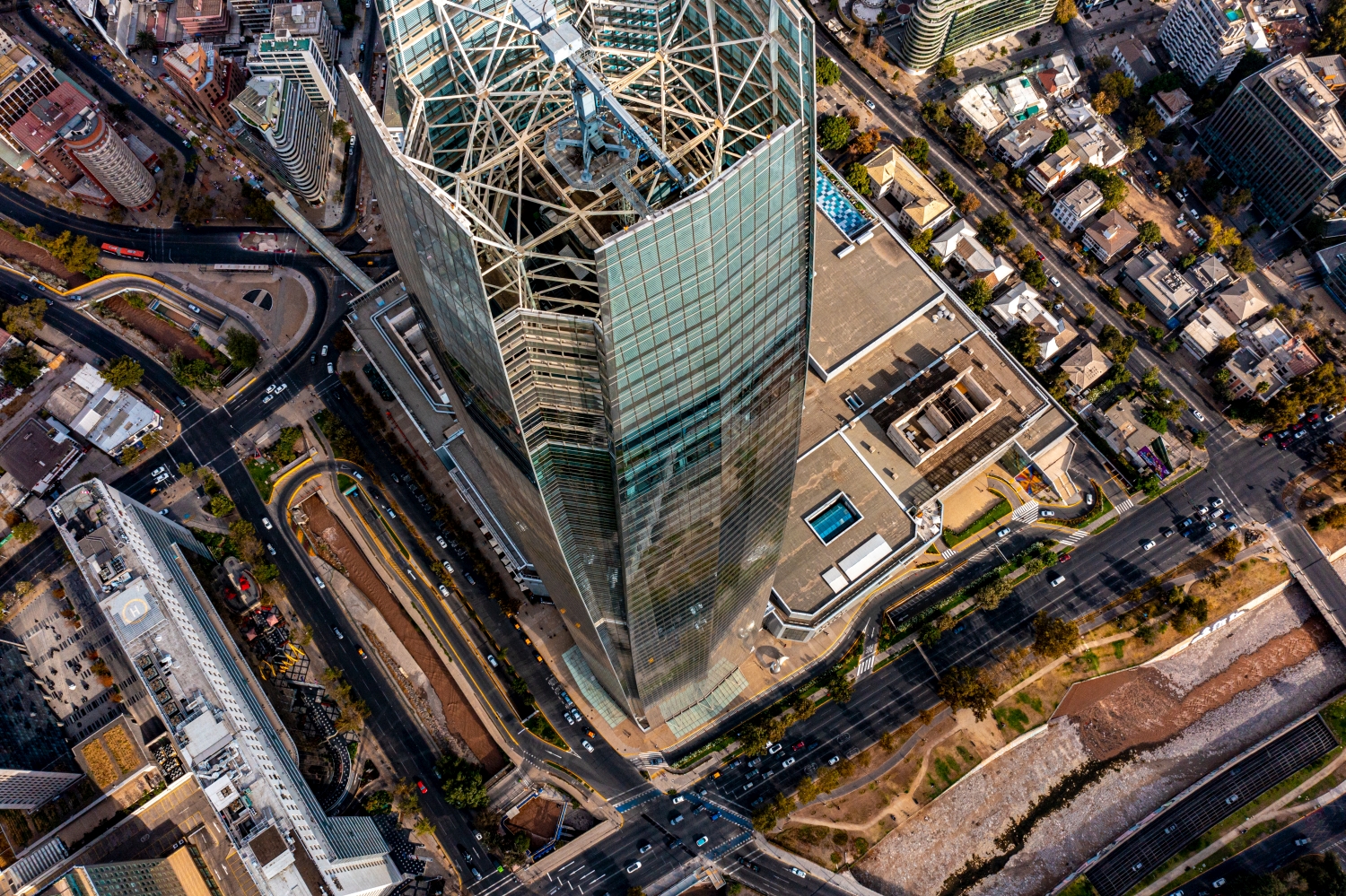
In tall buildings, the silhouette changes with every viewing angle. Two towers that stand close together from one direction reveal a wide gap from another perspective. In a shot for a city performance, such a gap helps to recognize individual buildings. A piece of surroundings at the foot of the houses is equally important. It shows how the large buildings arrive in the street space and what scale neighboring buildings, squares or traffic systems have in comparison.
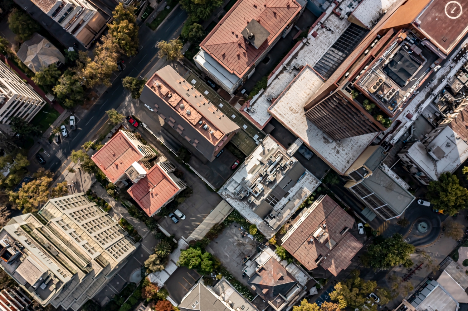
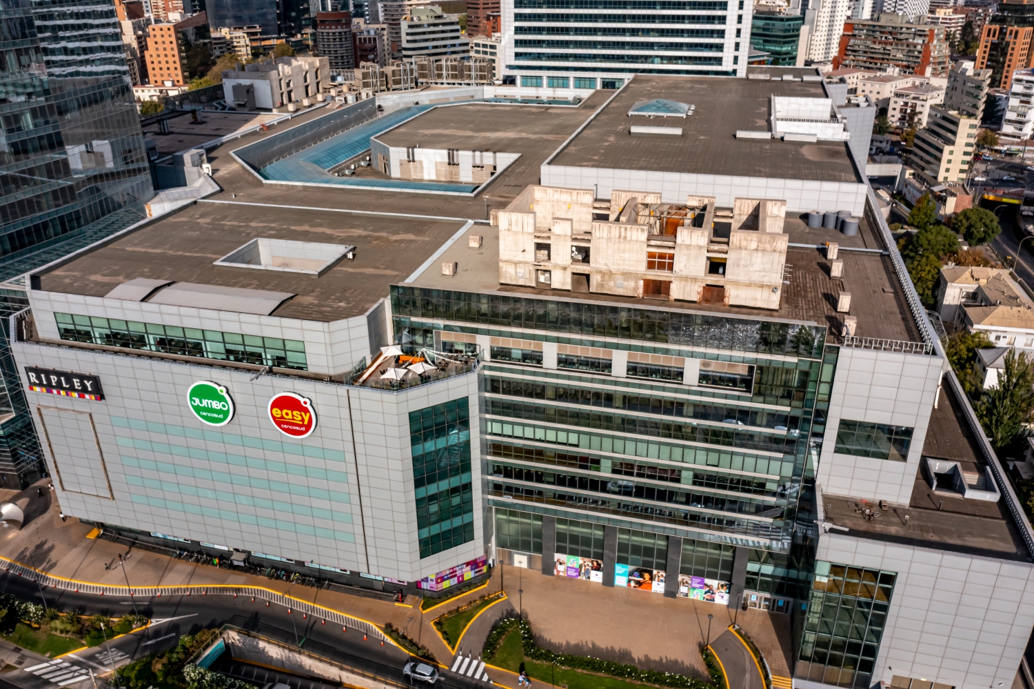
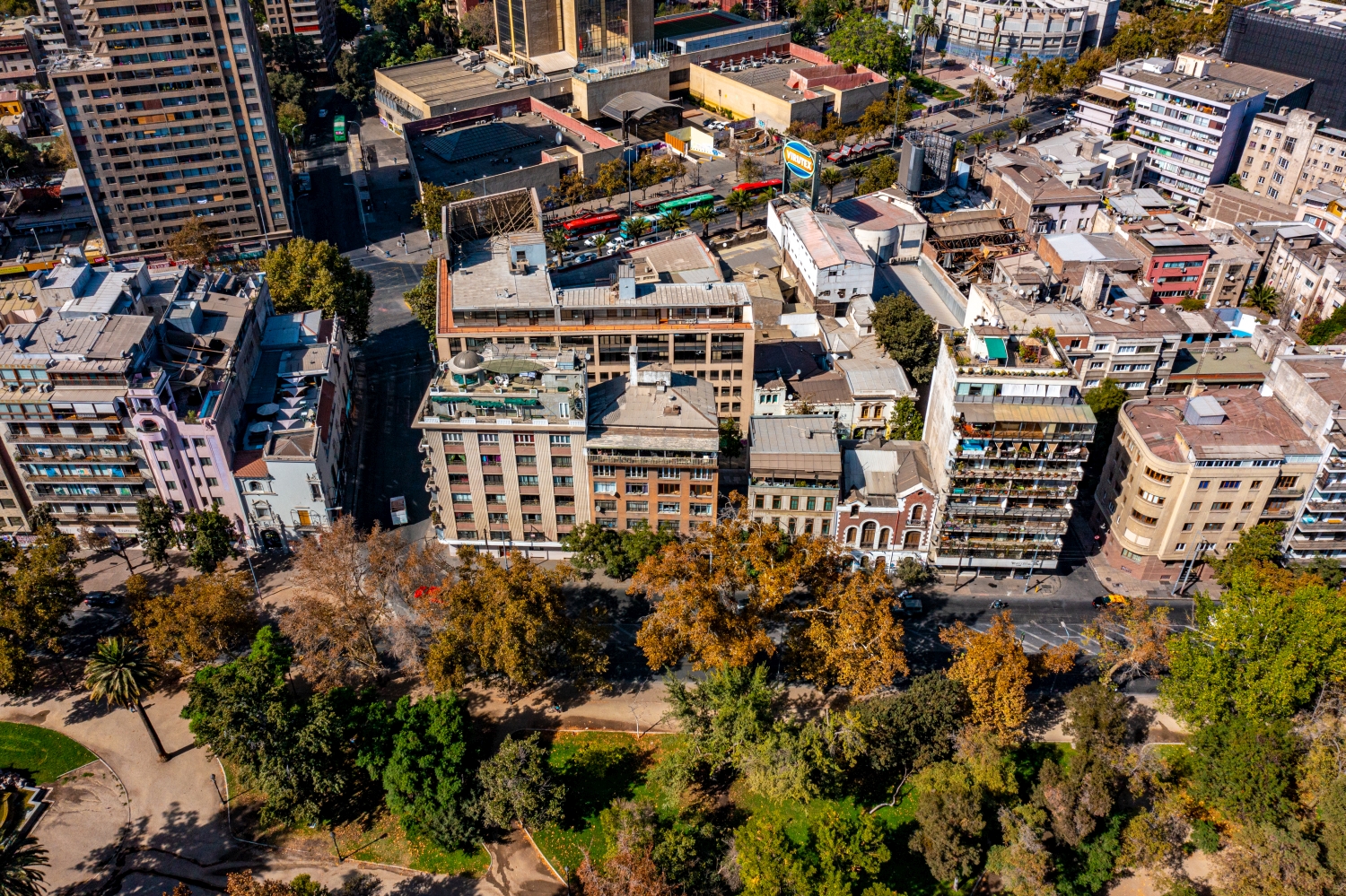
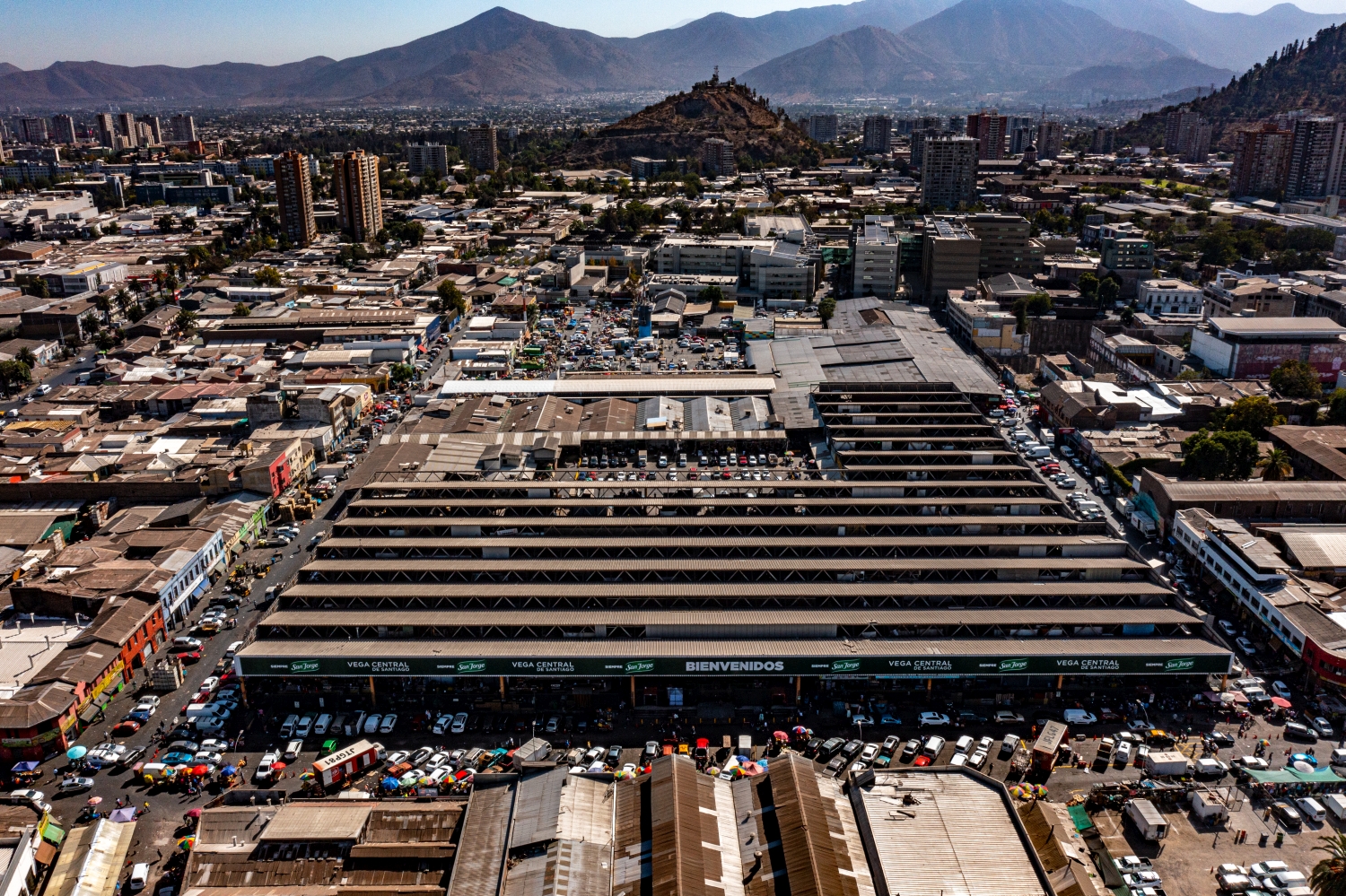
What the roofs reveal about the floor plan
If you look at it at an angle, the houses not only show their roofs, but also their facades of different widths. This gives the motif more depth than in the pure top view. Even the change from a low neighboring building to a taller building reveals something about the gradation of the place. Such a view is particularly useful for a local chronicle if the caption indicates the starting point of the view. Readers can then follow the rows of houses themselves to the edge of the picture.
The graduation of the mountain ranges
In a mountain landscape the view is divided into the foreground, middle slopes and distant heights. What merges into a closed surface in flat light separates into individual ridges when lit from the side. A gap between two ridges is often enough for the viewer to estimate the depth. For a landscape photograph, this gap is an important part of the subject. If you leave them standing while cropping, the spatial effect is retained even in a smaller image format.
The distribution of blue tones
For a direct image comparison, use shot 80 and shot 19 from the gallery with 90 aerial photos. In the first excerpt, shades of blue play a smaller role. In the second shot, blue areas take up more space. Blue can extend over a large contiguous area or only appear in individual parts. What also counts for the effect is whether these areas extend to the edge of the picture or surround the main subject.
The camera data for shot 1 says March 20, 2022, and that for shot 46 says March 21, 2022. The gallery combines images from different days. Differences in lighting or visibility can be better classified against this background. ISO 100 and an exposure time of 1/800 second are recorded for both files.
In the Aerial Videos section there are 27 clips for this article. An example is “Santiago de Chile from the air”. Its preview leads directly to the video in the aerial photographer's Adobe Stock portfolio.
An image for spatial documentation
In the case of a technical system, the direction of view determines which relationships can be explained. The course is clear along a traffic axis, and across it often the connection to the neighborhood. Both questions are valid for a project portrait. The aerial photographer can treat them in separate views. When publishing later, it will help to organize the selection according to these questions. Two visually different images can otherwise repeat the same information, while an entrance, a crossing or the connection to a neighboring property remains incomprehensible.
Related motifs in the aerial photo archive
The article Vilnius offers another perspective. On the banks of the Neris, wide streets and modern high-rise buildings meet more open river areas in Vilnius. In the gallery Italy – San Gimignano there is a different focus. Above San Gimignano, the tall stone towers stand close to much lower roofs.
Aerial Photos Santiago de Chile
Aerial Photographs & Aerial Videos
F4 Aerial Photographs – Your specialist for aerial photographs Worldwide. Benefit from our many years of experience and technical equipment and let us convince you with a quick implementation and unbureaucratic processing. We look forward to inspiring you with breathtaking aerial photographs Worldwide.