 F4LUFTBILDER

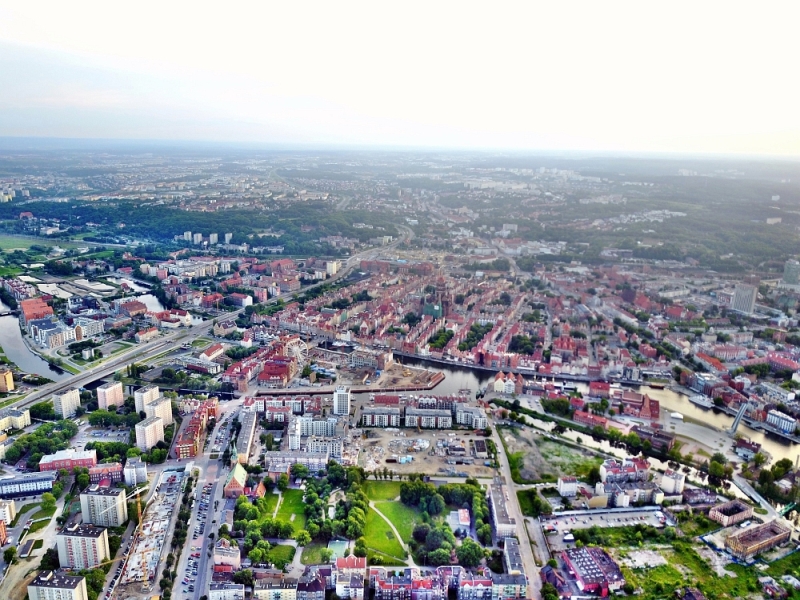
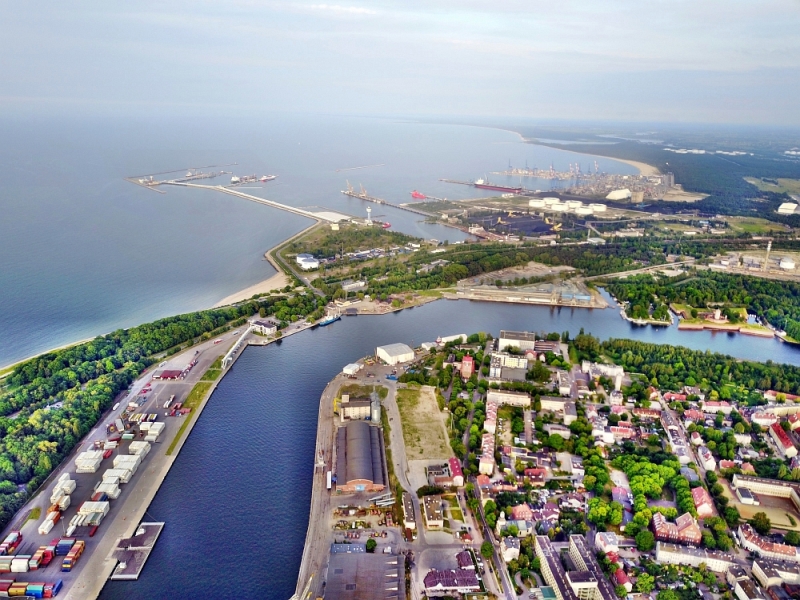
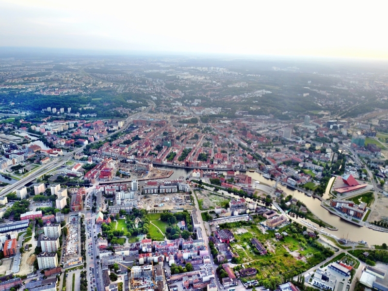
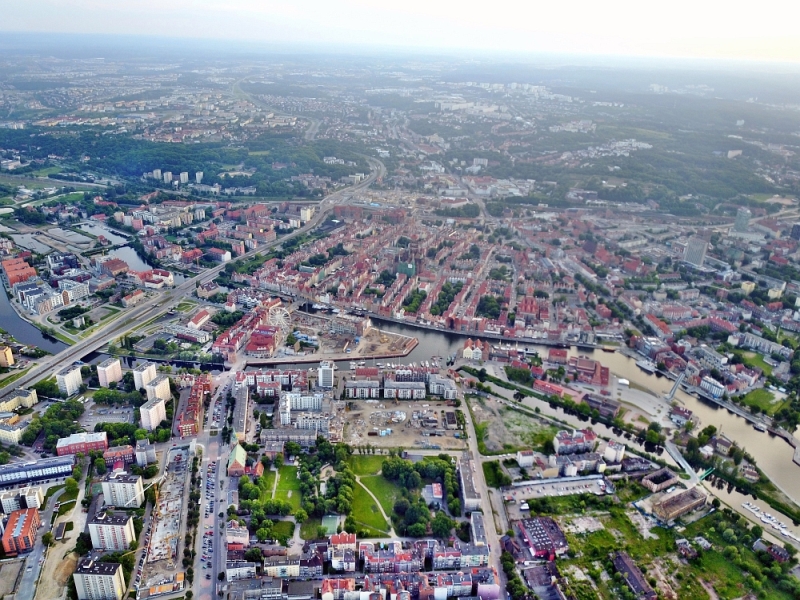
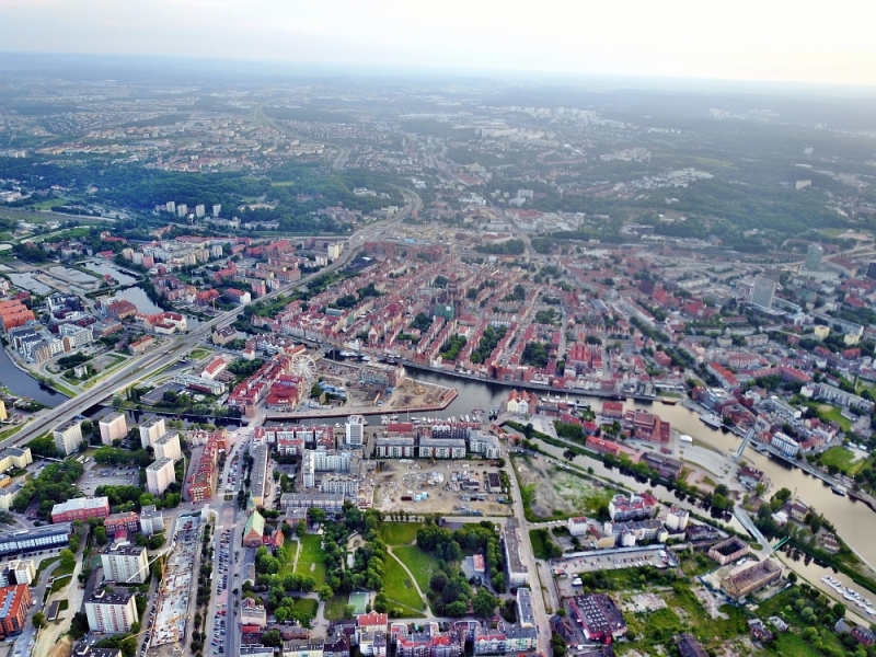
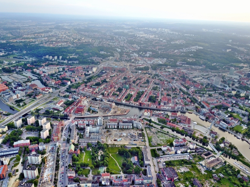

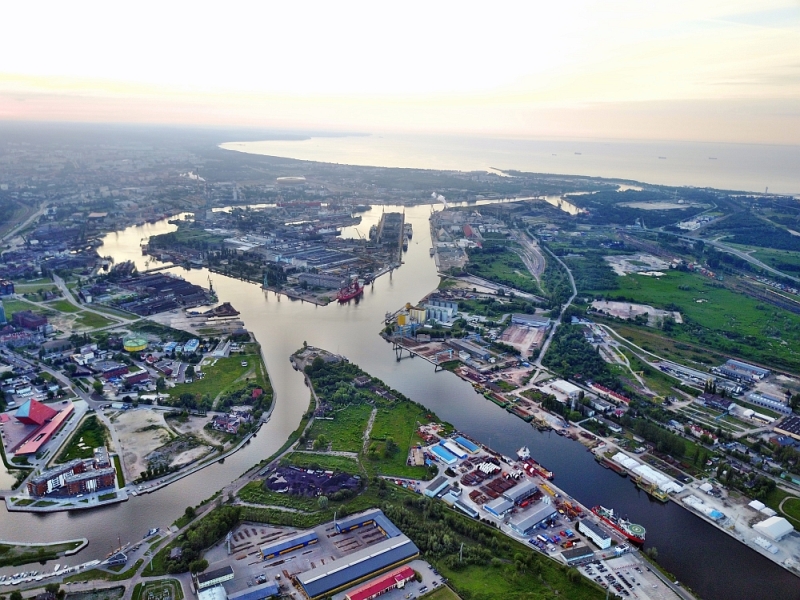
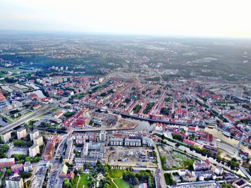
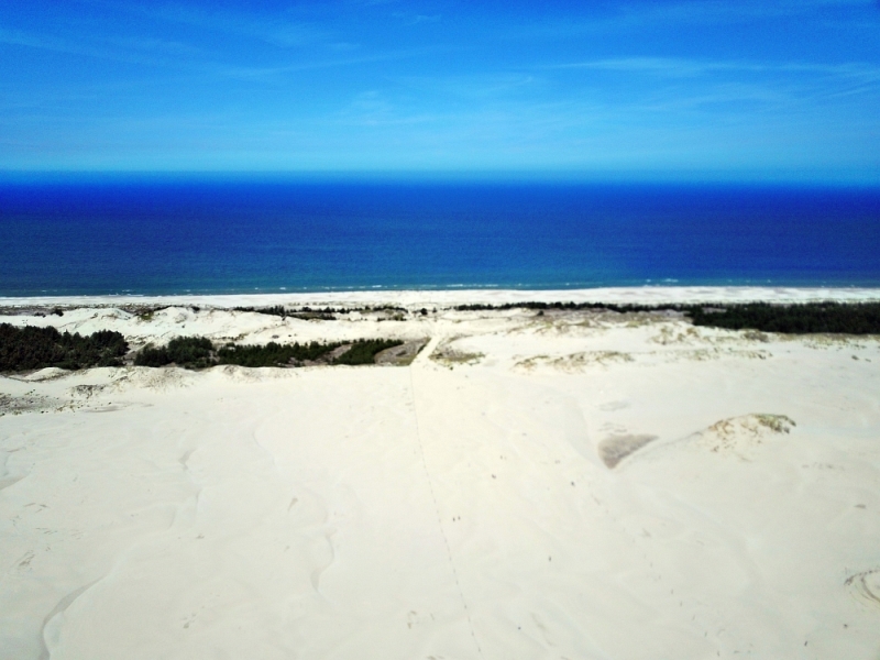
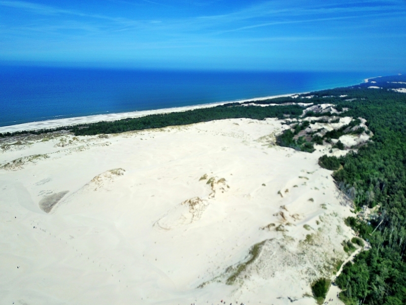
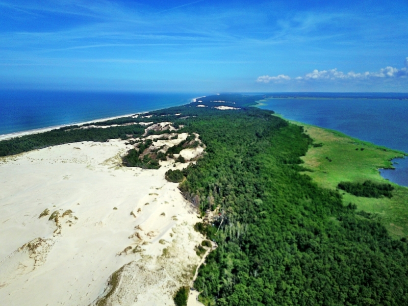
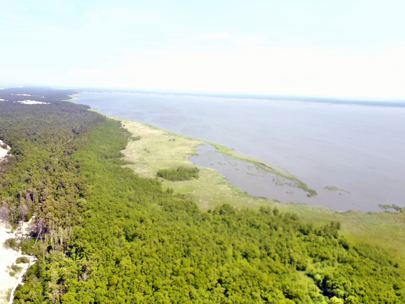
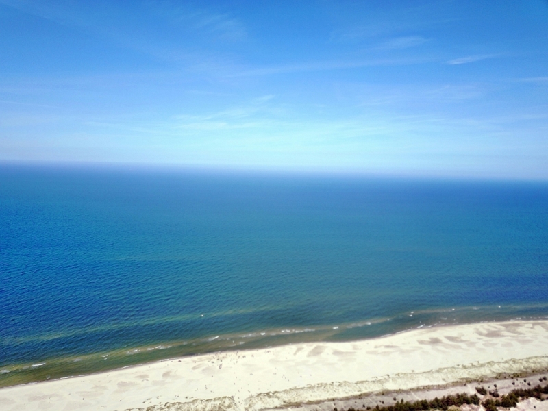
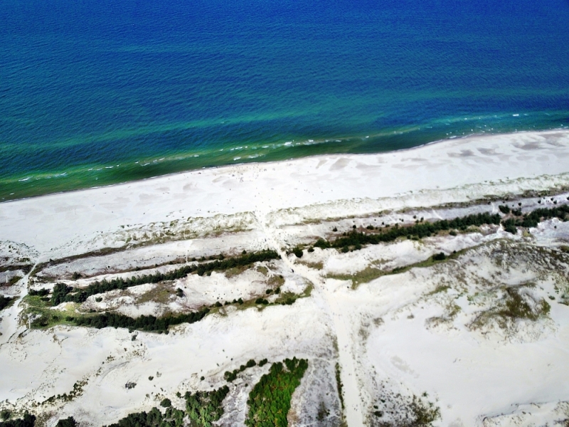
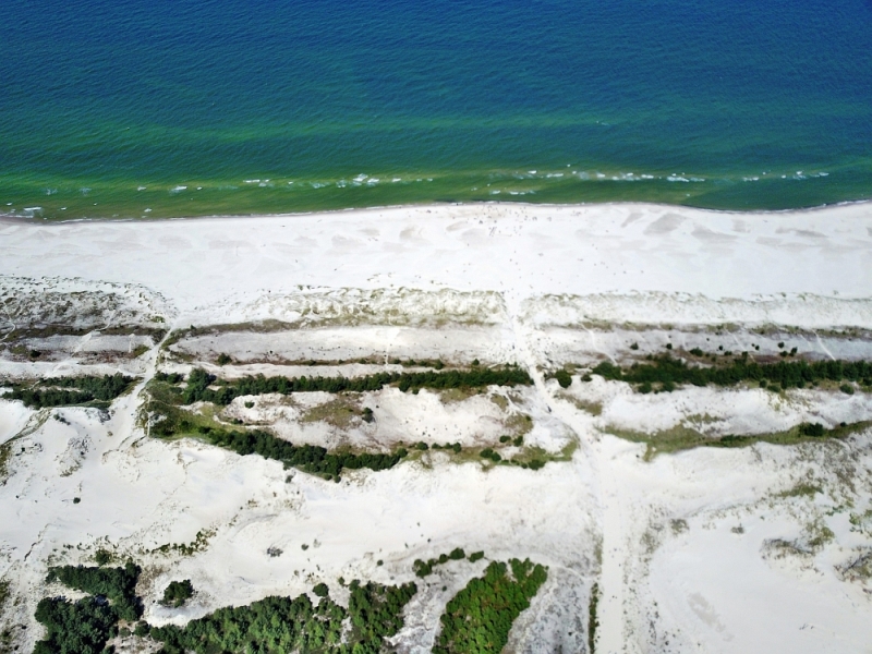
Between the dunes of Łeba and Gdańsk
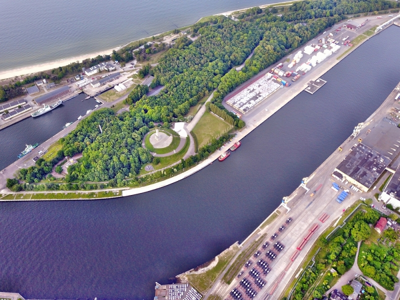
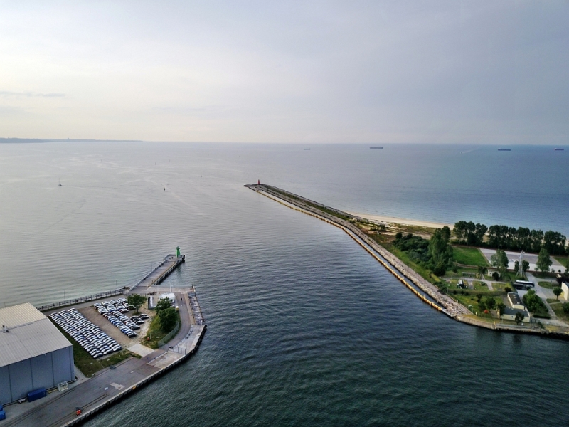
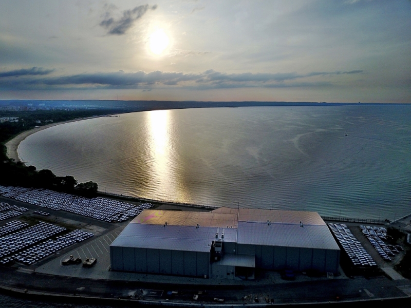
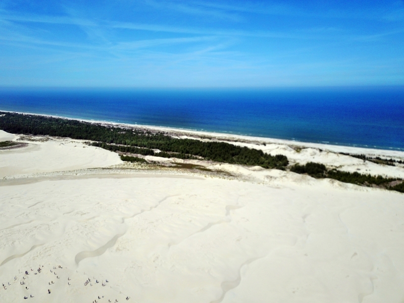
This Polish series connects two different places. In Łeba, open sandy areas and the Baltic Sea coast dominate the view, in Gdansk, dense streets and the city on the water. For a series of images, the visible break between landscape and city is particularly revealing.
Two townscapes on the Baltic Sea
Between Łeba and Danzig the imagery changes from the sand ridge to the harbor. A landscape route can narrate this change through the shapes of the banks without mixing the two places into one view.
In dunes, the narrow line between the illuminated and shadowed flanks is often clearer than the outer outline. A sideways view reveals the height of the sand ridges, a steep view traces their direction. If cropped too closely, such shapes can look like just any detail in the sand. A piece of beach or a continuous area of vegetation on the edge therefore helps to locate the dune field. For a close-up, the drawing of a single edge is then a comprehensible object.
The water between the quay edges
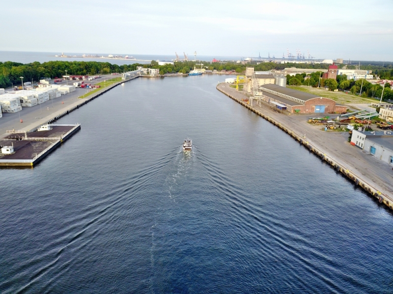
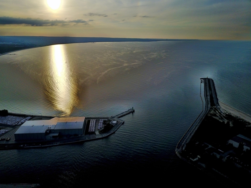
In a harbor, the individual areas are best seen from the water. A pier delimits the entrance, straight edges frame a pool, smaller footbridges divide the area. Boats and ships provide an indication of size without an exact distance being able to be derived from the image. The shape of the harbor provides an overview. A closer look at the edge of a quay, on the other hand, shows how the water directly connects to the landside paths, buildings or open spaces.
What the roofs reveal about the floor plan
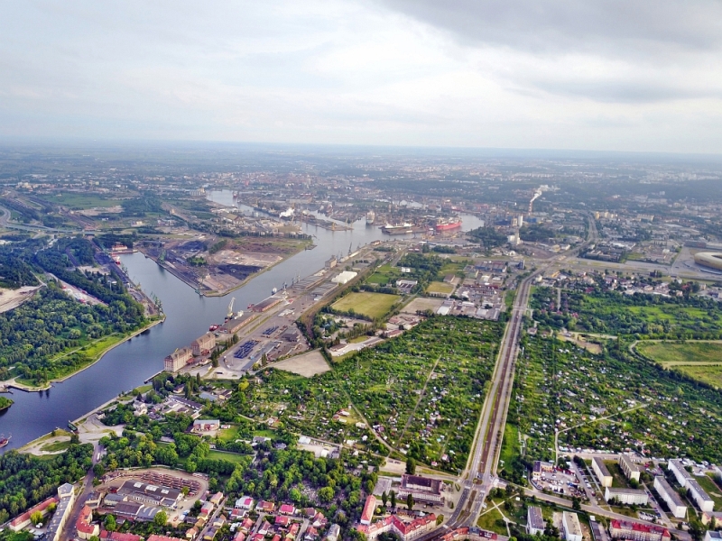
A city center can often be read by its roofs. Where narrow gables are close together, the street space is also divided into short sections. A large, connected building interrupts this sequence. In the aerial photo you can follow the direction of an alley from such an interruption. For an illustration in a smaller format, a section with just a few easily distinguishable roof groups is worthwhile. In a large print, however, the spaces and small changes in direction are allowed to keep their place.
The distribution of blue tones
To switch between two of the 24 aerial photos, shot 21 and shot 22 can be called up directly in the gallery. In the first excerpt, shades of blue play a smaller role. In the second shot, blue areas take up more space. Blue can extend over a large contiguous area or only appear in individual parts. What also counts for the effect is whether these areas extend to the edge of the picture or surround the main subject.
Shot 24 and Shot 1 are among the views from June 15, 2017. According to the camera's time information, there are approximately 423 minutes between the two images. The exposure time was 1/2681 second for the first of the images mentioned and 1/60 second for the second.
Select the coastal view for a photo series
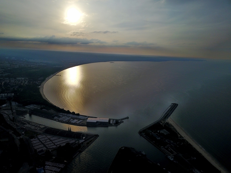
In a coastal view, water is both a motif and an open space. Whether a large piece of sea remains in the picture depends on the story. When reporting on the shoreline, it holds different landforms together. For a portrait of a coastal town, the development may need more space. An aerial photographer can take this difference into account when choosing the angle of the image. When publishing, it's worth taking a final look at the final format so that a headland or riverside path at the edge isn't accidentally cut off.
Related motifs in the aerial photo archive
Two additional views can be used in the archive for comparison. The first can be found at Patara Sand Dunes. At Patara, the flat ridges of the sand dunes meet a long, almost uninterrupted coastline. The second belongs to the article Durres. In Durrës, long piers reach out into the Adriatic.