 F4LUFTBILDER
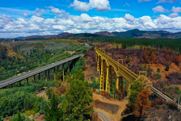
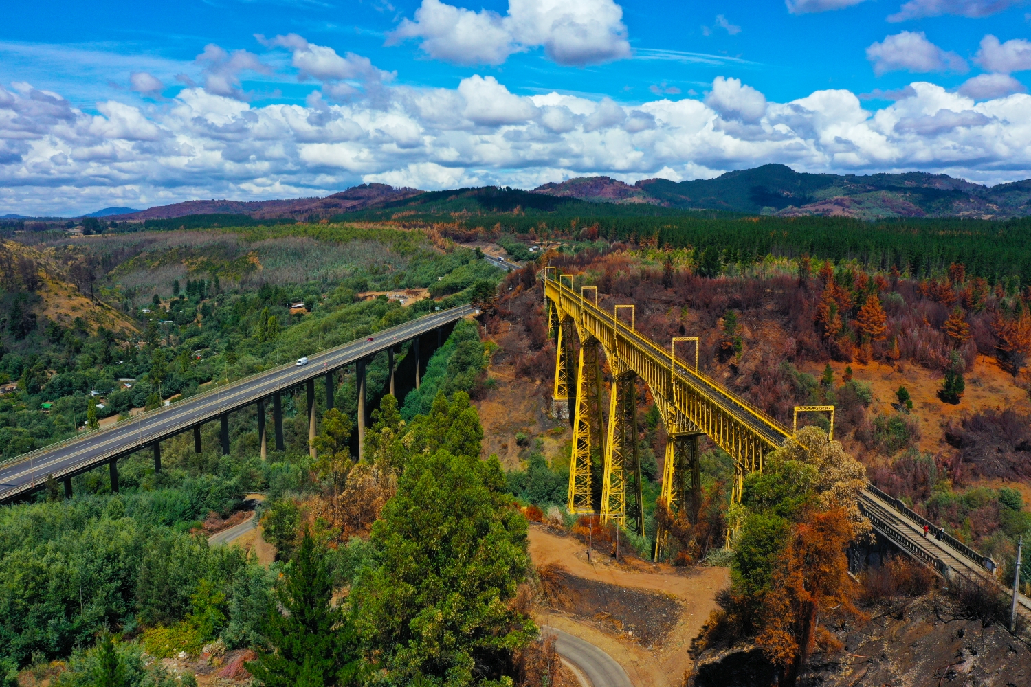
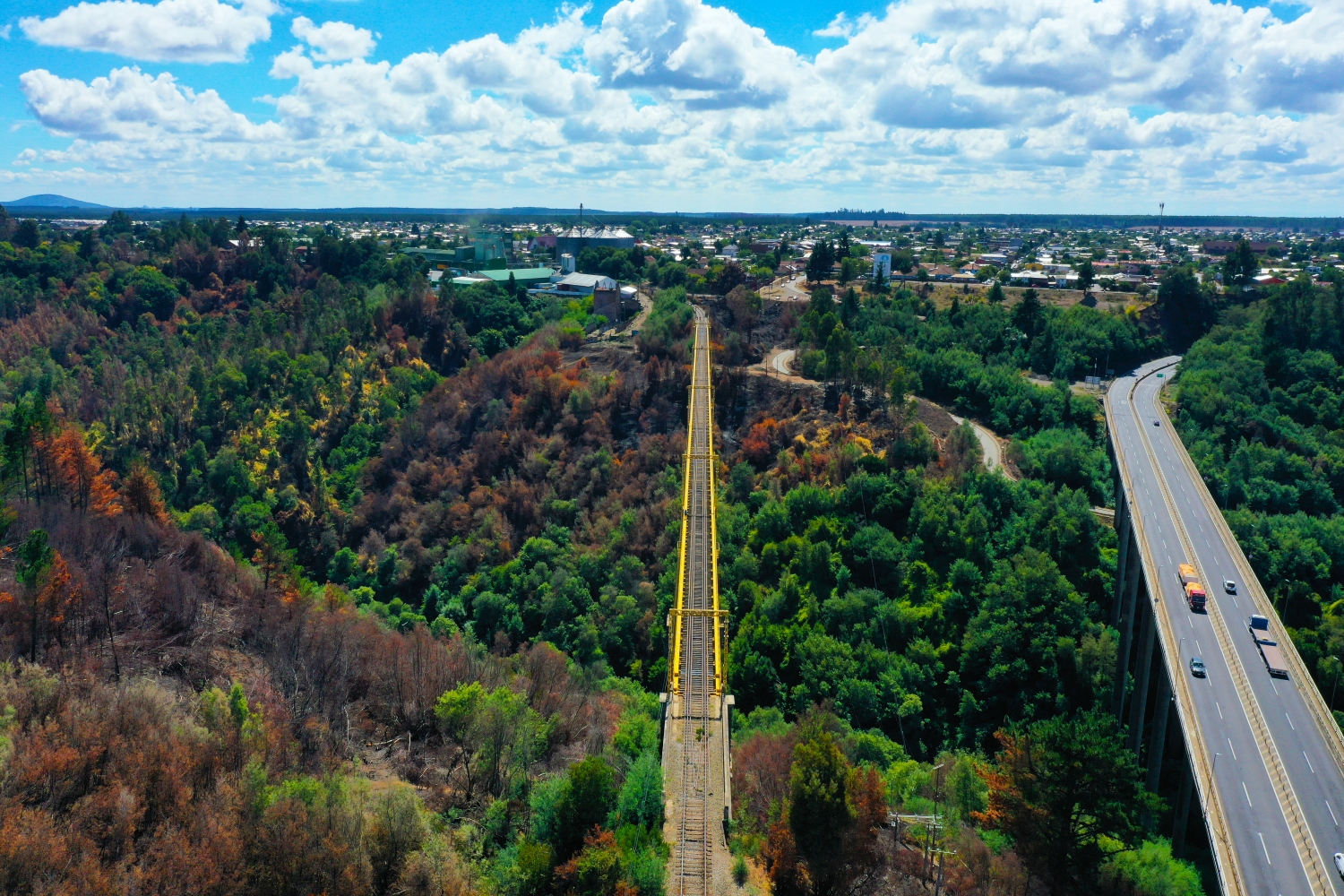
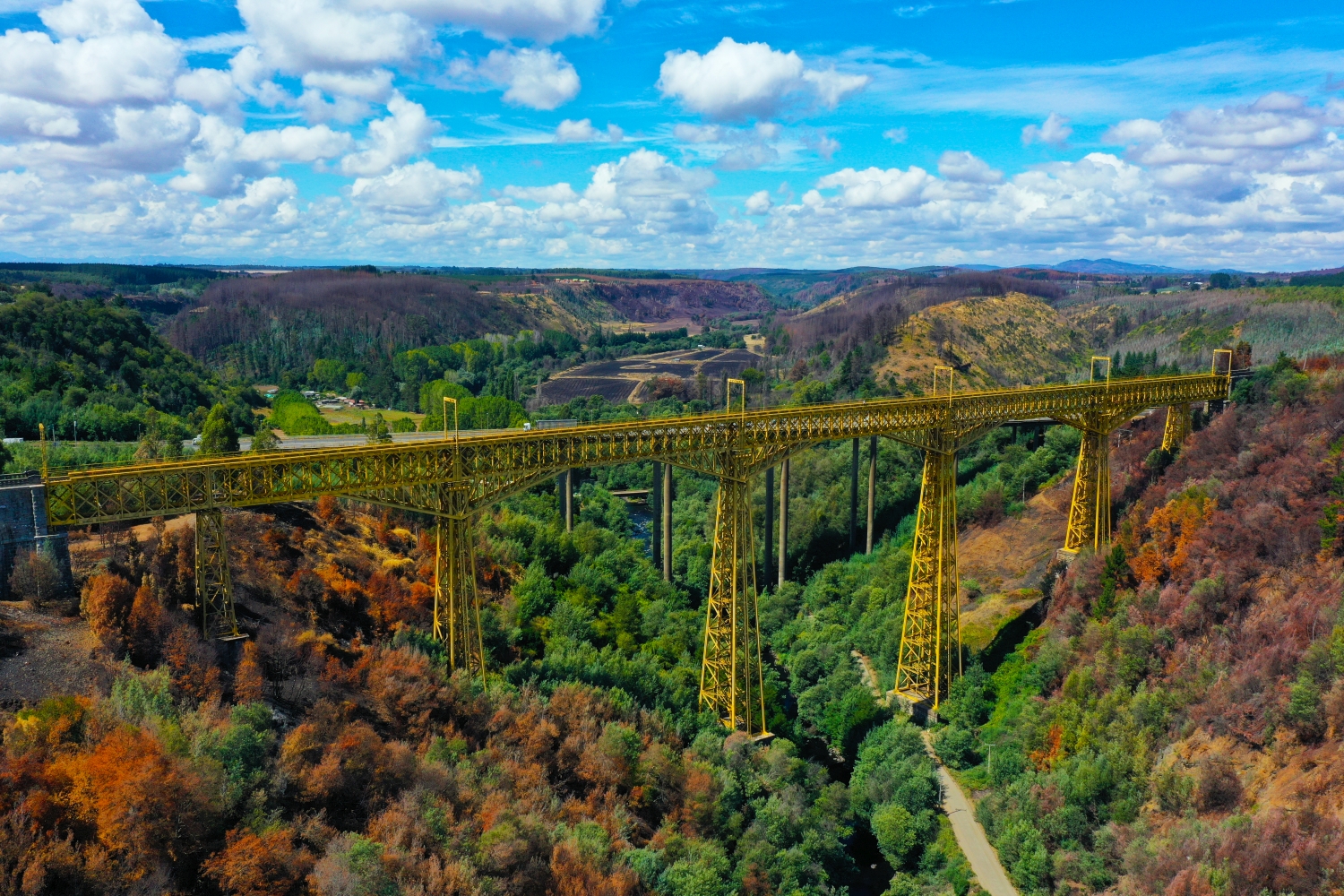
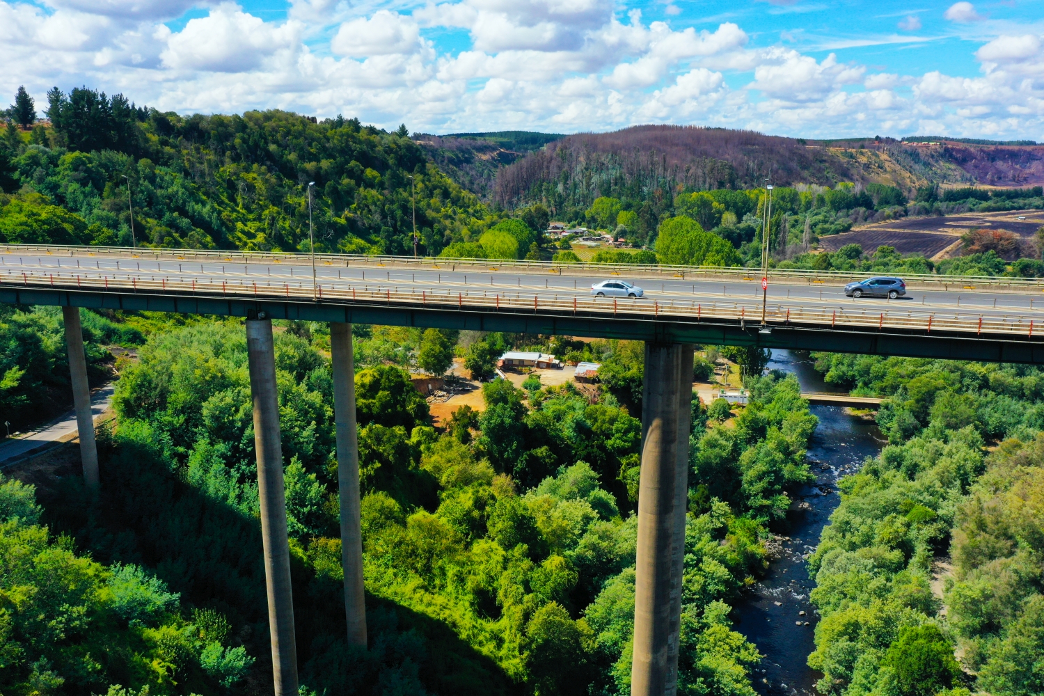
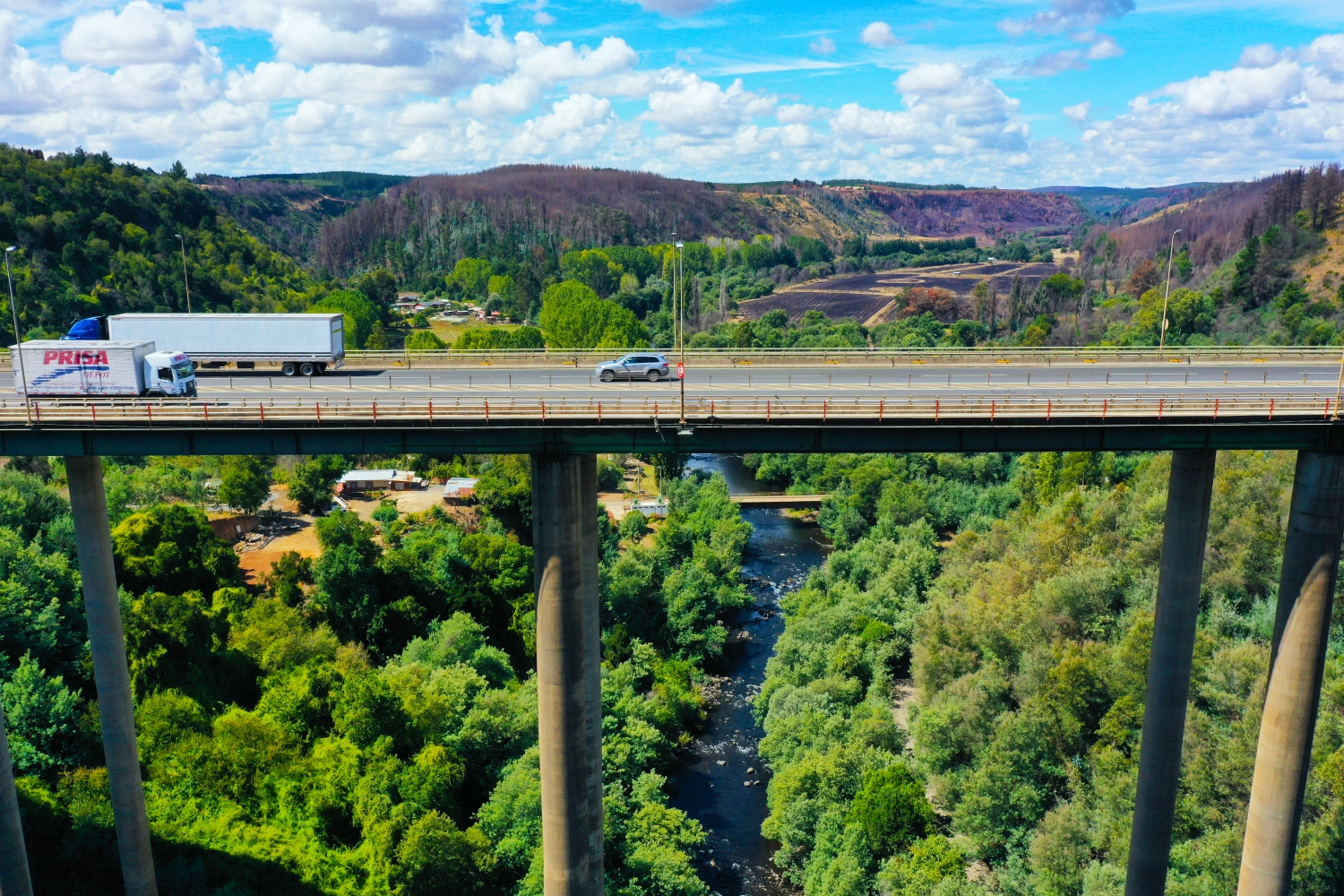
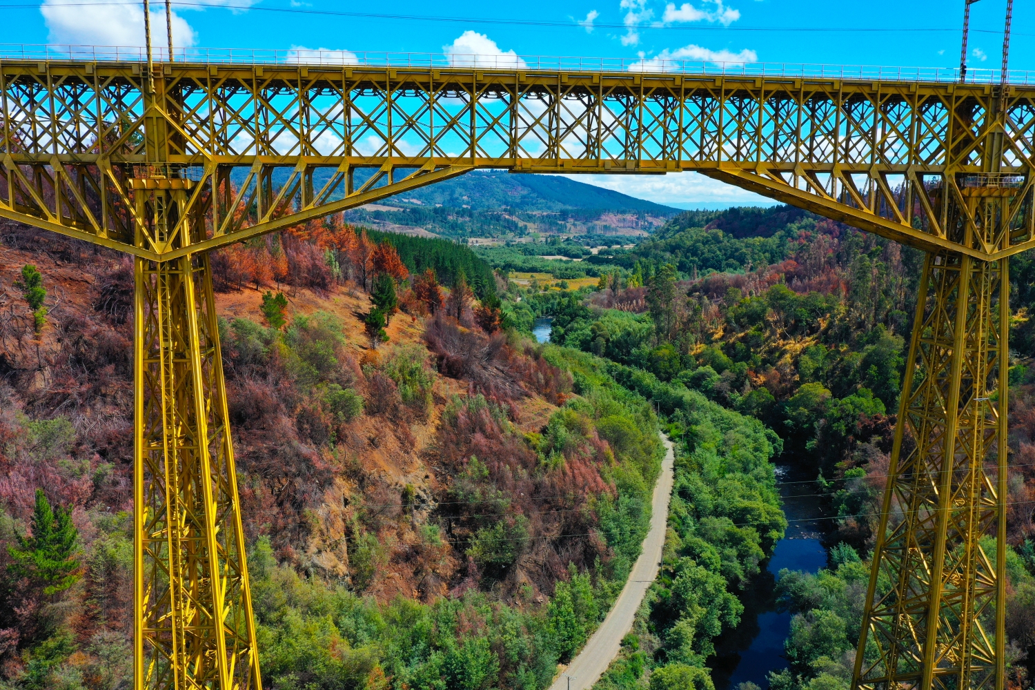
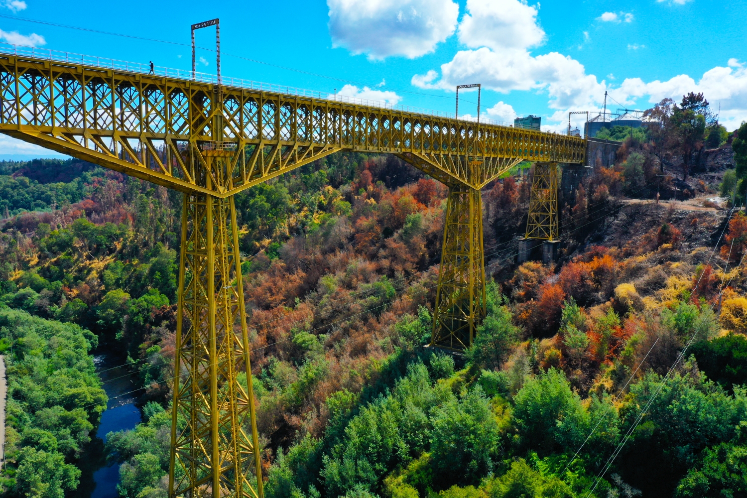
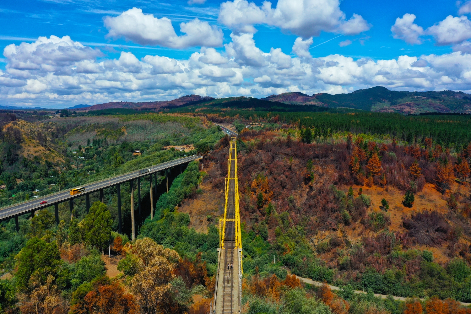
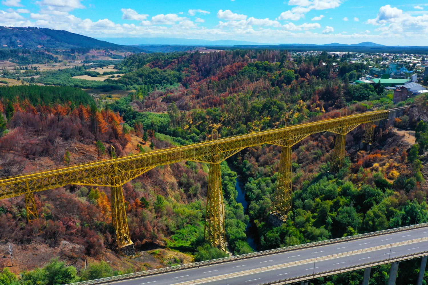
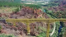
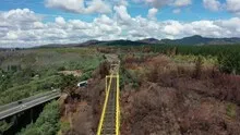
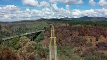
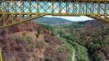
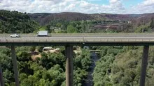
The Malleco viaduct over the valley
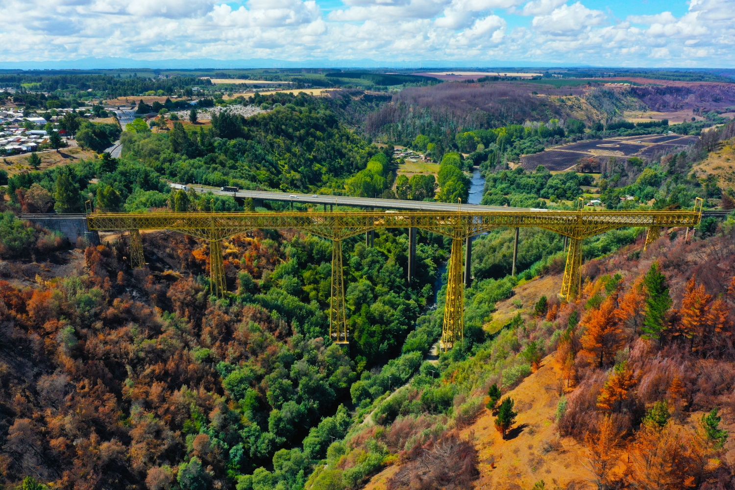
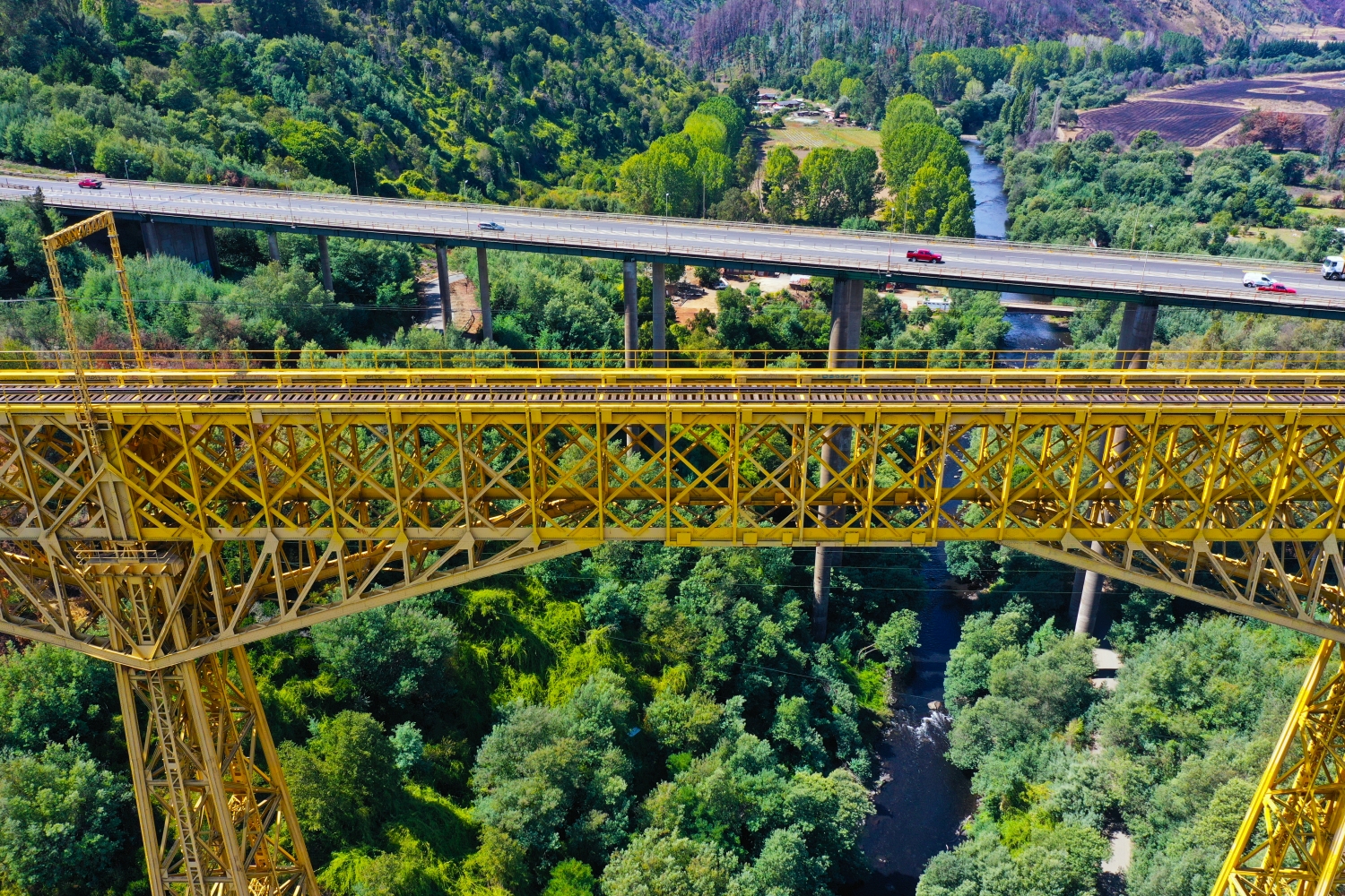
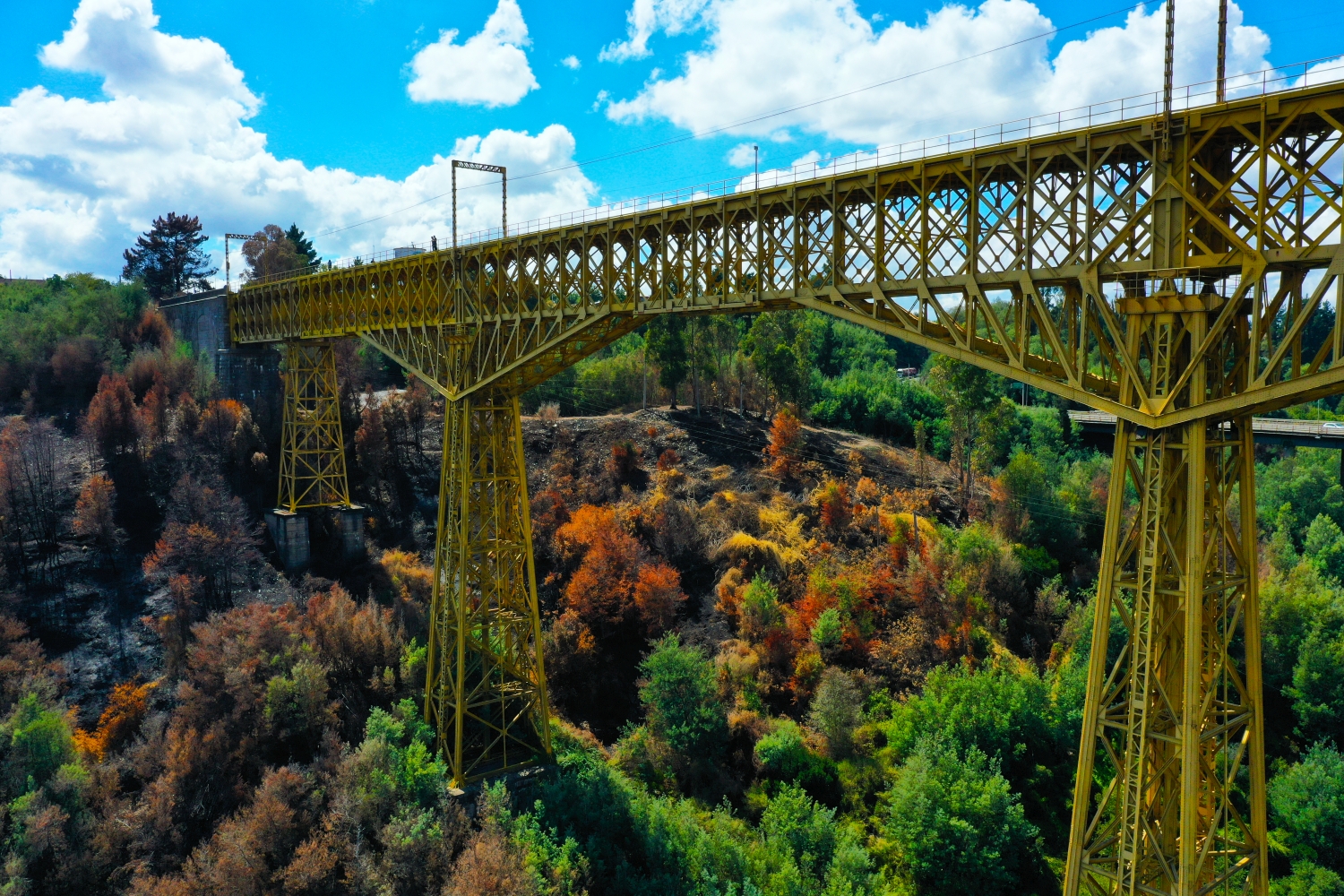
At the Malleco Viaduct in Chile, a straight girder line runs over a deep, green cut. The delicate steel construction appears almost like a drawing from a distance. Closer views show the supports and the relationship between the valley floor and the bridge deck.
The supporting structure above the cut
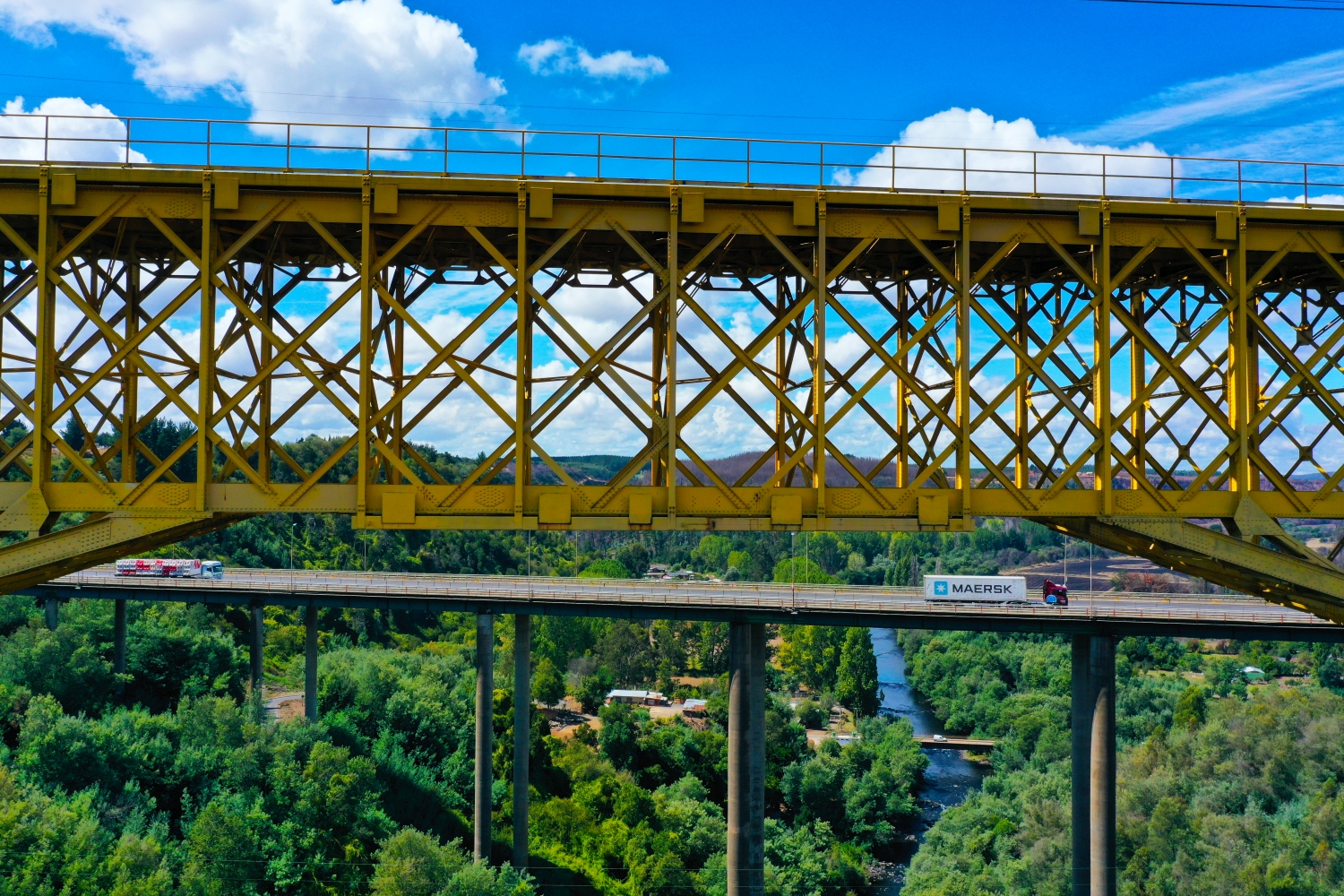
In the Malleco viaduct, the gaps in the structure are crucial. This means that the valley remains visible, so that the supporting structure in the picture appears both as a structure and as a transition across the depths.
In the overview, a bridge is initially a line that connects two separate areas. A closer look reveals differences between access, supporting structure and subsequent paths. For a photo series it is therefore worthwhile to include a view of the entire connection as well as a section with one of the bridgeheads. There, the integration into the terrain becomes particularly easy to understand. For comparison, both images can be oriented the same way so that the start and end of the route can be seen without additional explanation.
The supporting structure up close
In an open steel structure, visible struts alternate with views of the terrain behind them. From some directions several beams lie exactly in front of each other. A slight change in perspective makes the sequence readable again. For a technical illustration, a view with clear spaces is particularly valuable. A second, broader image can complement the location of the structure in the valley and show which route the components previously examined in detail span together.
Recognize the shape of the valley area
The location in a valley is made clear in the aerial photo by the lateral boundaries. A nearby slope pushes forward in front of a distant one, and the valley floor opens up in between. If the section is too narrow, it can easily give the impression of a flat surface. A shot with a bit of a slope at the edge of the image preserves the context. Orientation is particularly successful when there is also a familiar size comparison, such as a street or a house. The eye can then better assess the depth between the individual landscape levels.
Warm tones within the series
To switch between two of the 13 aerial photos, shot 8 and shot 10 can be called up directly in the gallery. In the second view, warm reds and browns have more weight than in the first. Red-brown and yellowish areas are particularly noticeable next to cooler surfaces. What is interesting when comparing is whether they are concentrated on a single object or appear spread out across the entire view.
Shot 1 and Shot 13 are among the views from March 7, 2022. According to the camera's time information, there are approximately 9 minutes between the two images. The exposure time was 1/800 second for the first of the images mentioned and 1/500 second for the second.
In the Aerial Videos section there are 7 clips for this article. An example is “Malleco Viaduct in Chile from the air”. Its preview leads directly to the video in the aerial photographer's Adobe Stock portfolio.
Explain the course of the river in the picture
An image path along a body of water can follow the direction of flow. In order for readers to understand the transition between the local views, they need a recognizable reference point for each section. This can be a crossing or a significant bend. Whether water can still be seen on the left or right of the finished print also depends on the page format. It is therefore worthwhile for the aerial photographer to know whether a wide double page or a narrow single image is intended. A cut-off bend in the river can significantly change the view of the town.
Related motifs in the aerial photo archive
Two additional views can be used in the archive for comparison. The first can be found under highline179 rope suspension bridge. The highline179 stretches as a thin line across the wooded terrain near Reutte. The second belongs to the article Freudenberg. In Freudenberg, rows of houses follow the curved banks of the Main.
Aerial Photos Malleco Viaduct
Aerial Photographs & Aerial Videos
F4 Aerial Photographs – Your specialist for aerial photographs Worldwide. Benefit from our many years of experience and technical equipment and let us convince you with a quick implementation and unbureaucratic processing. We look forward to inspiring you with breathtaking aerial photographs Worldwide.