 F4LUFTBILDER
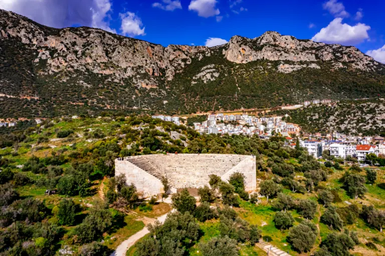
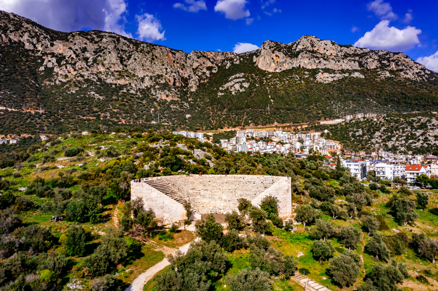
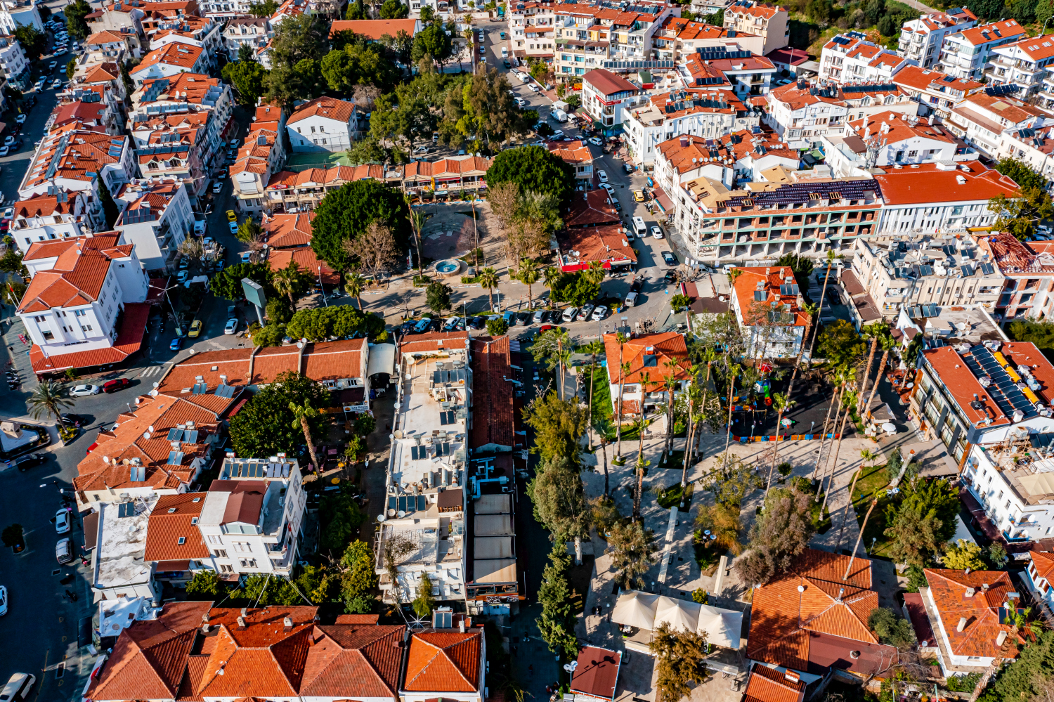
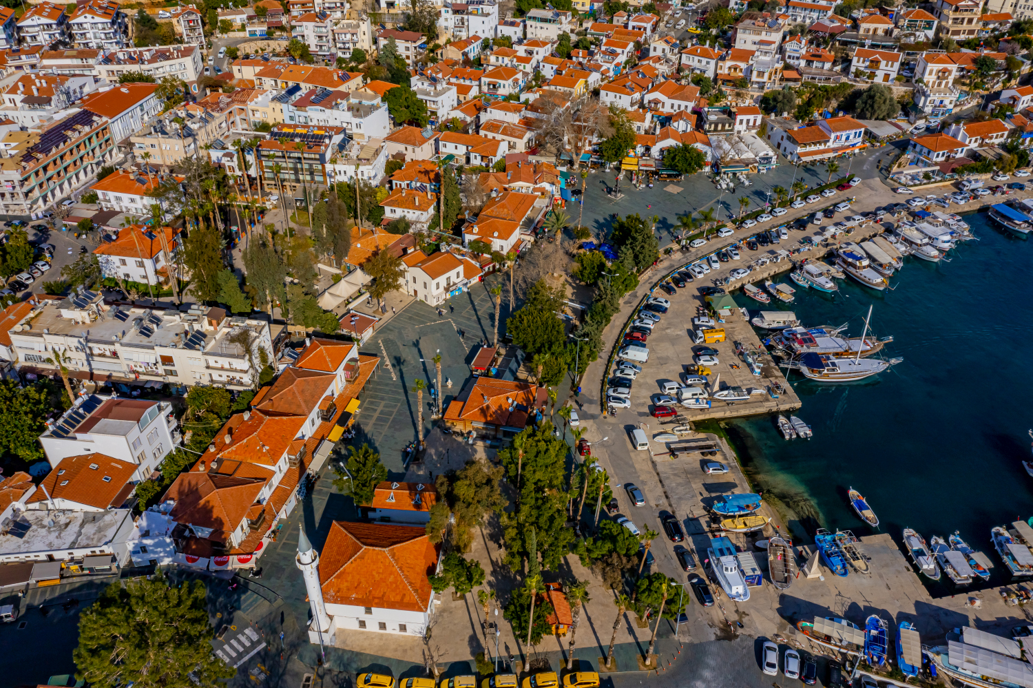
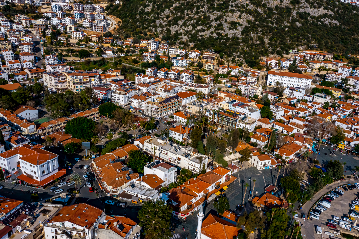
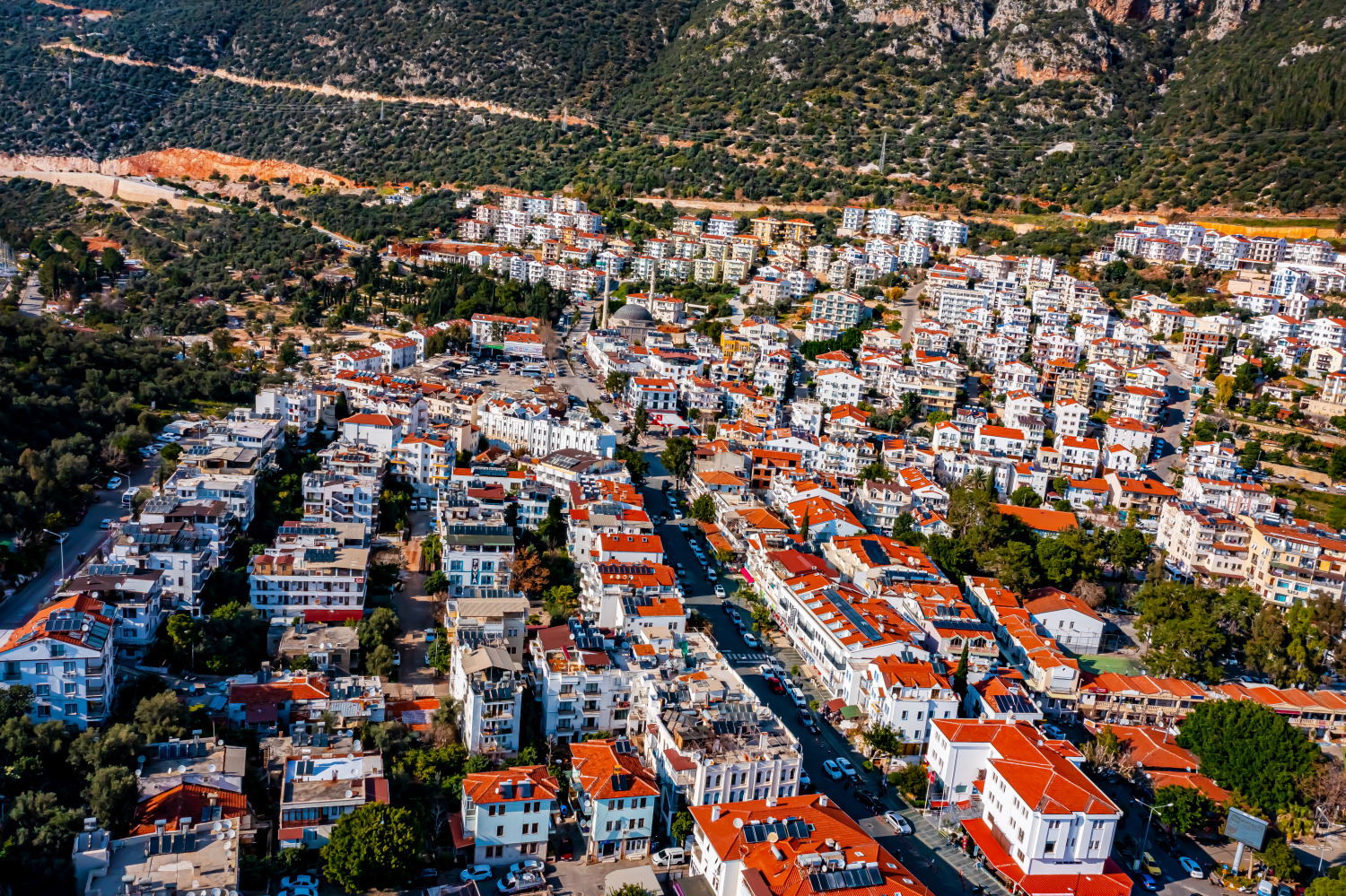
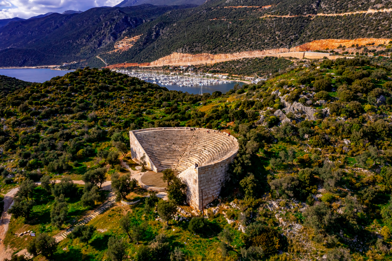
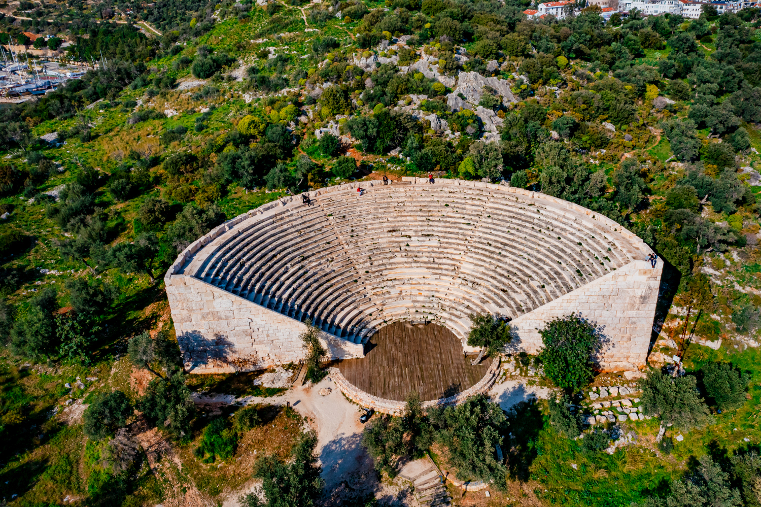
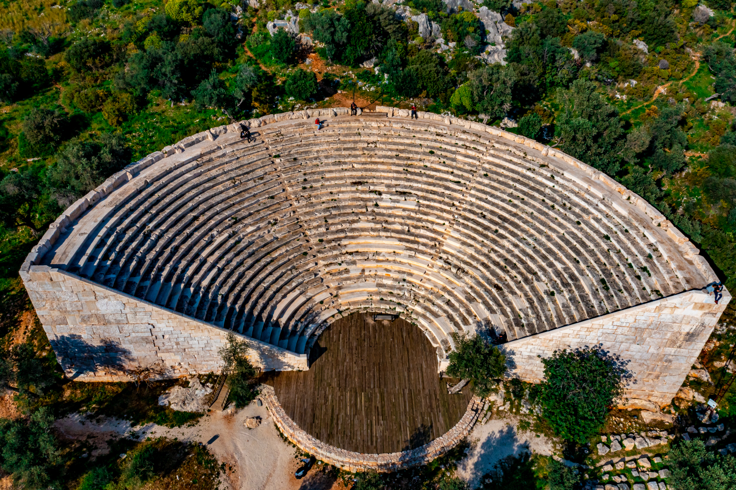
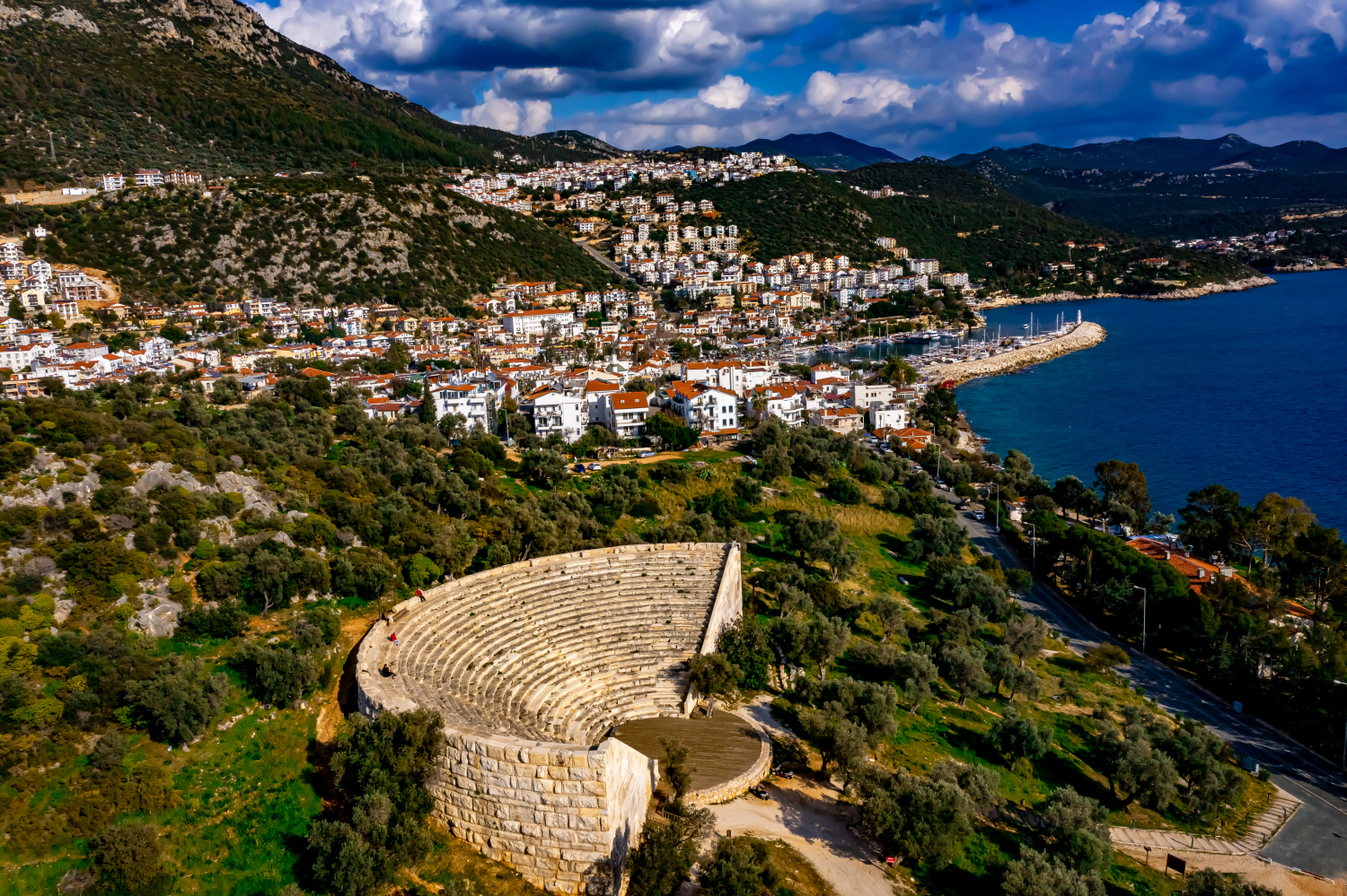
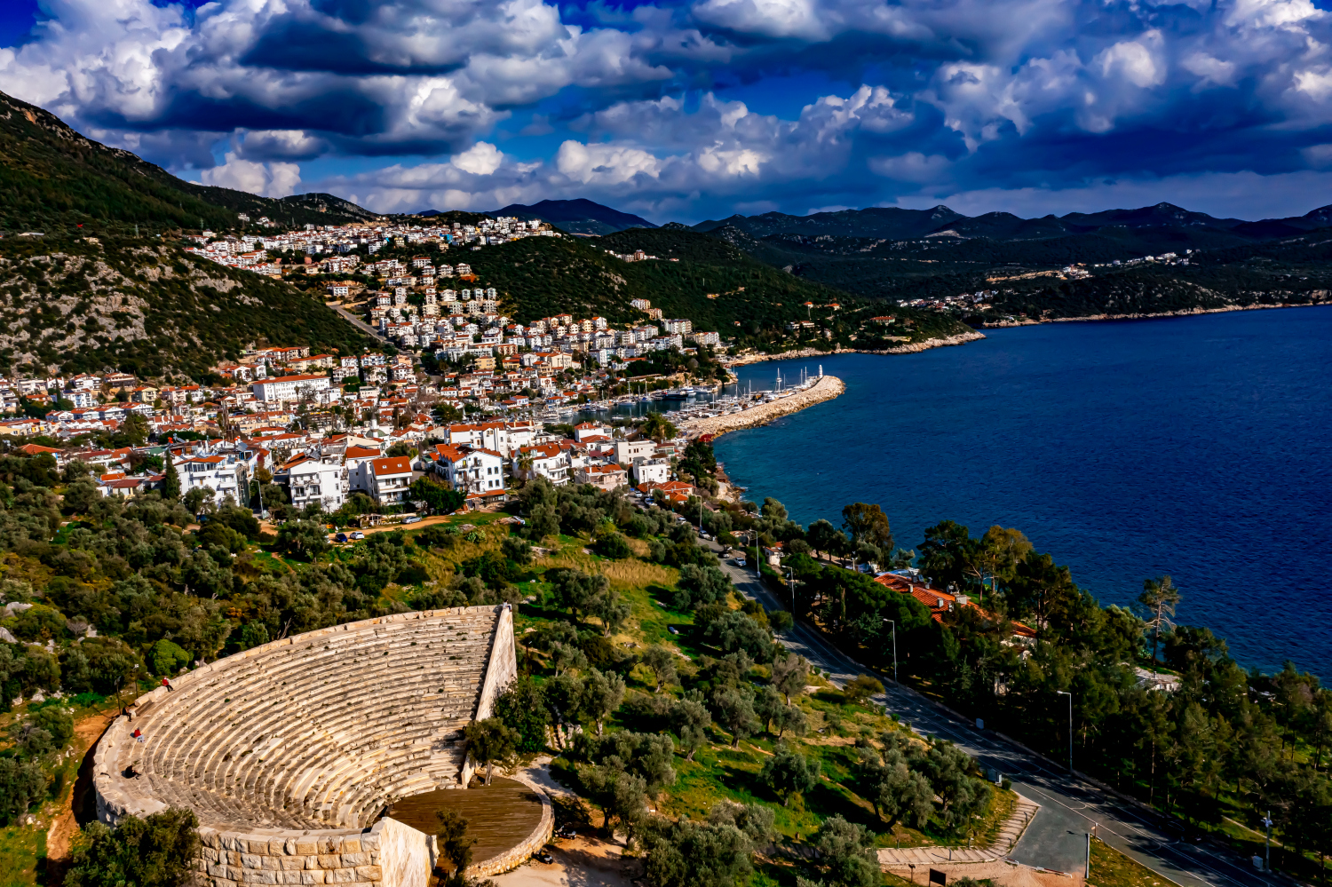
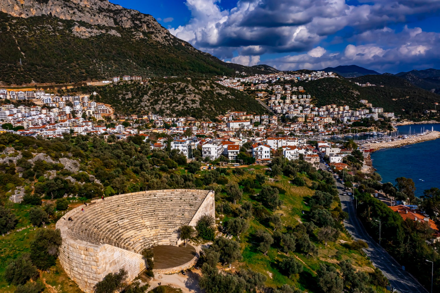
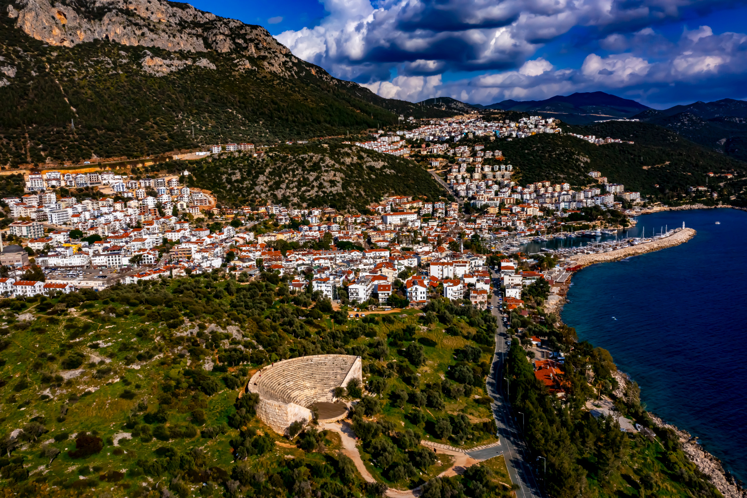
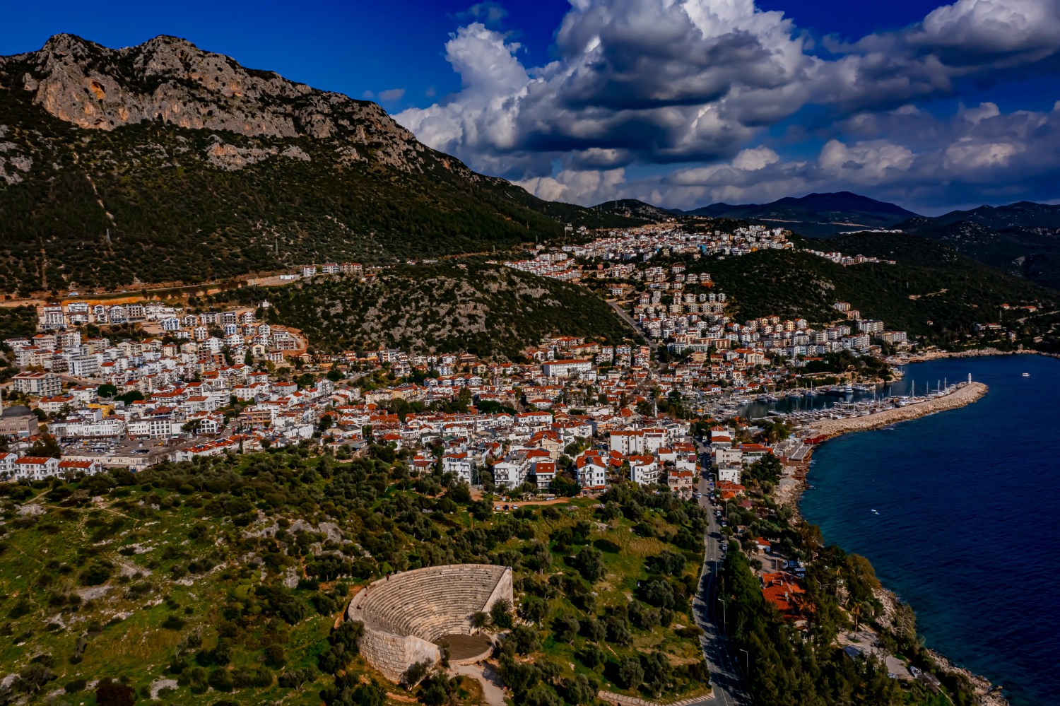

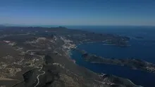
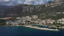
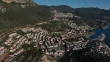
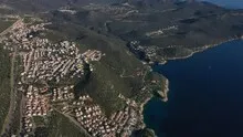
Kaş between the town center and the mountains
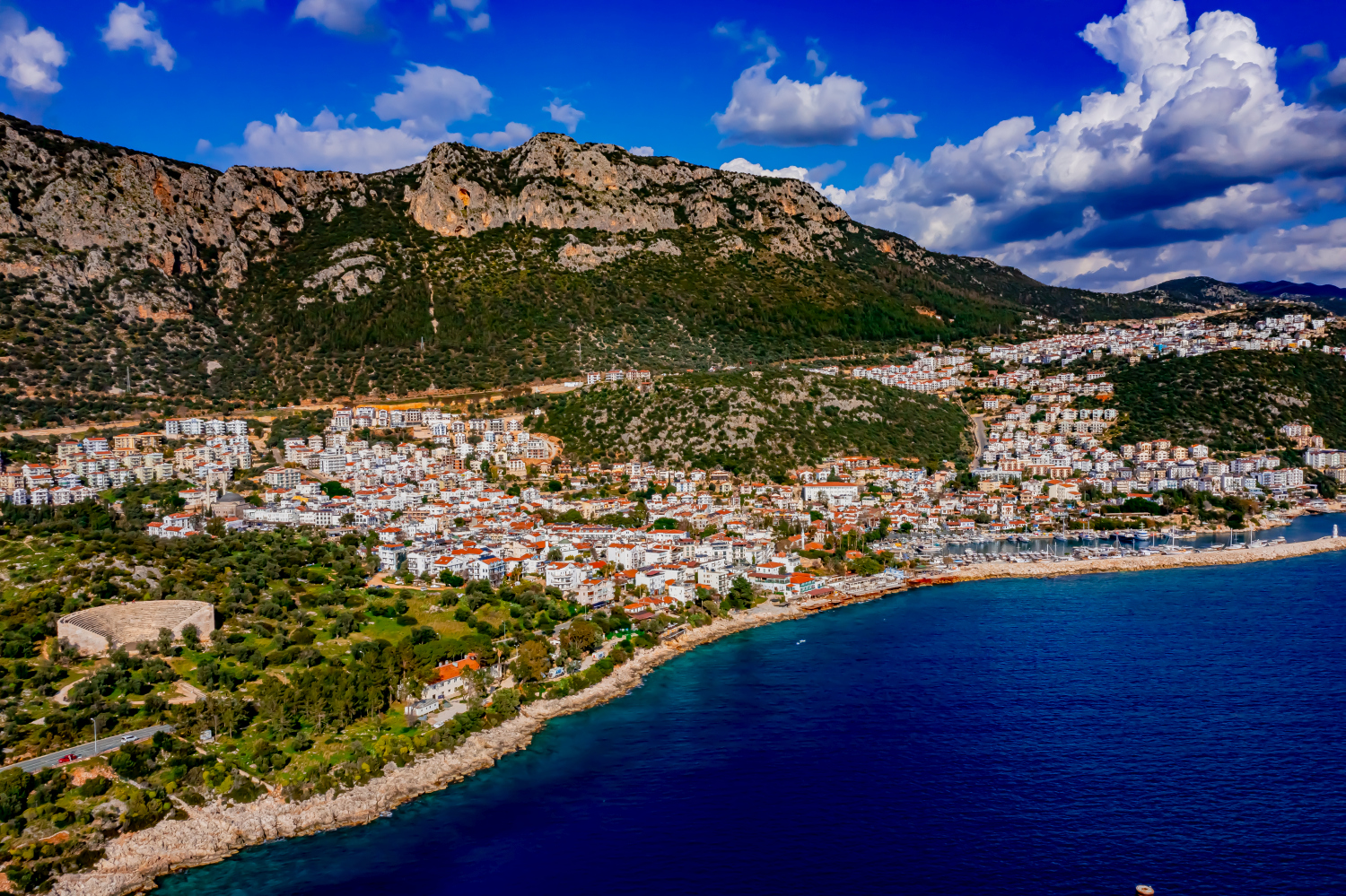
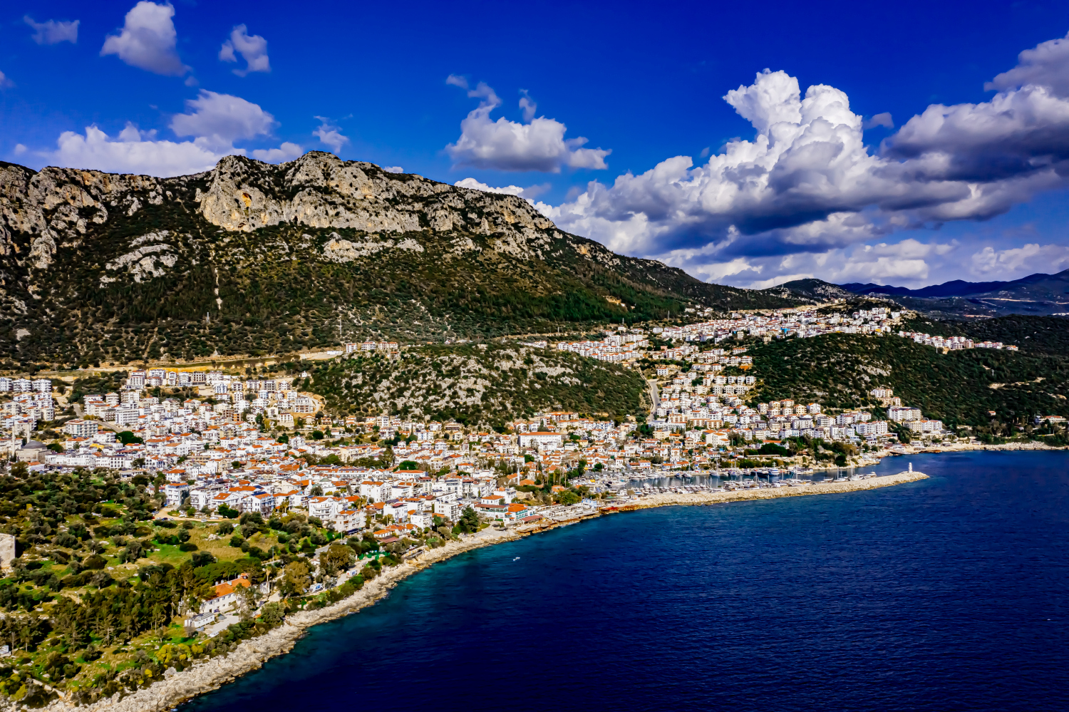
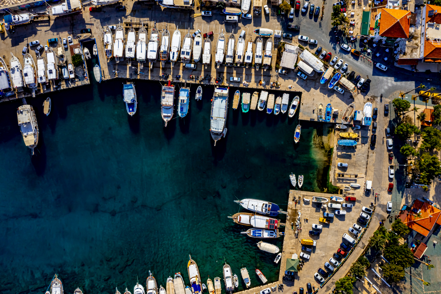
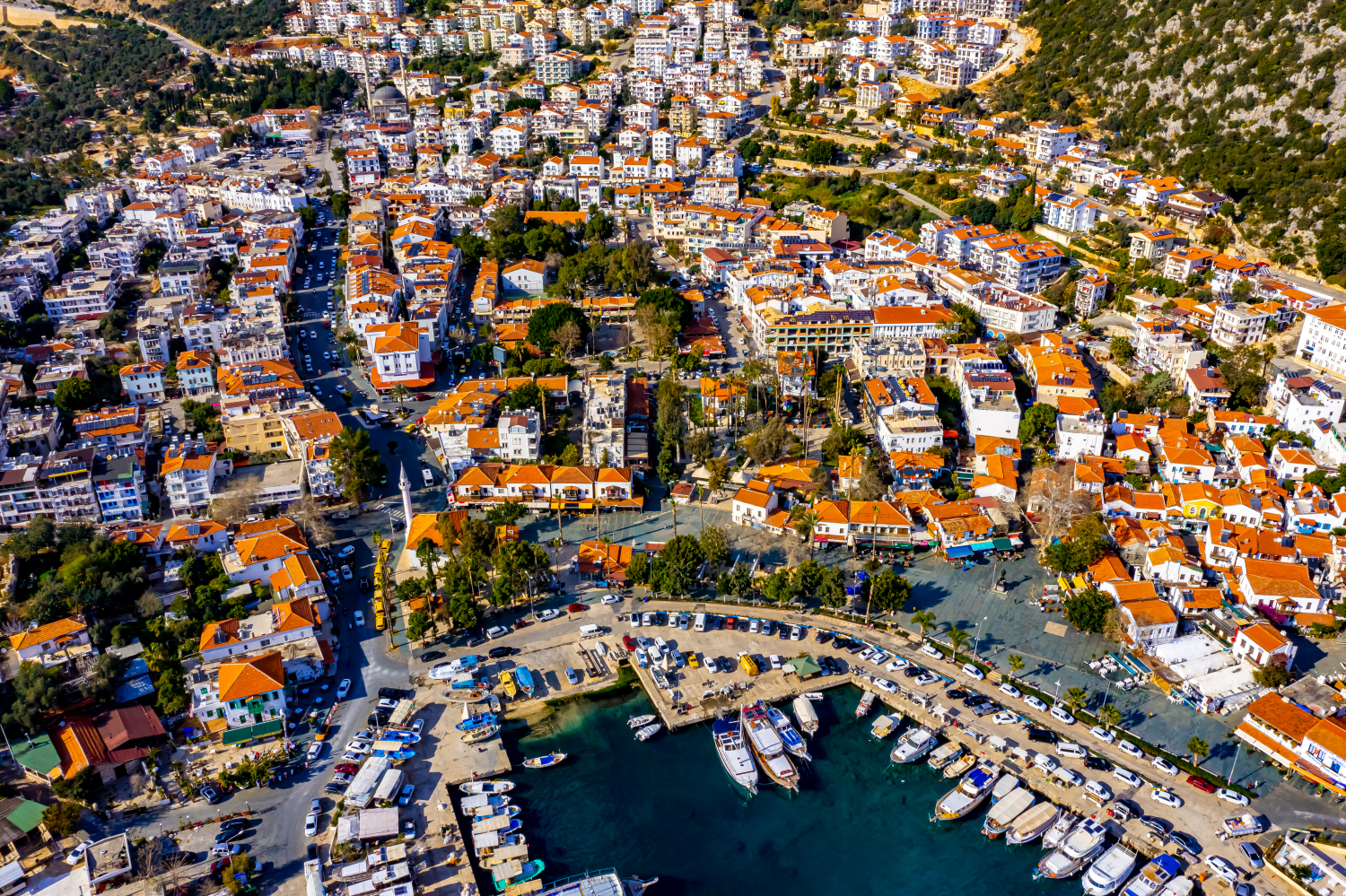
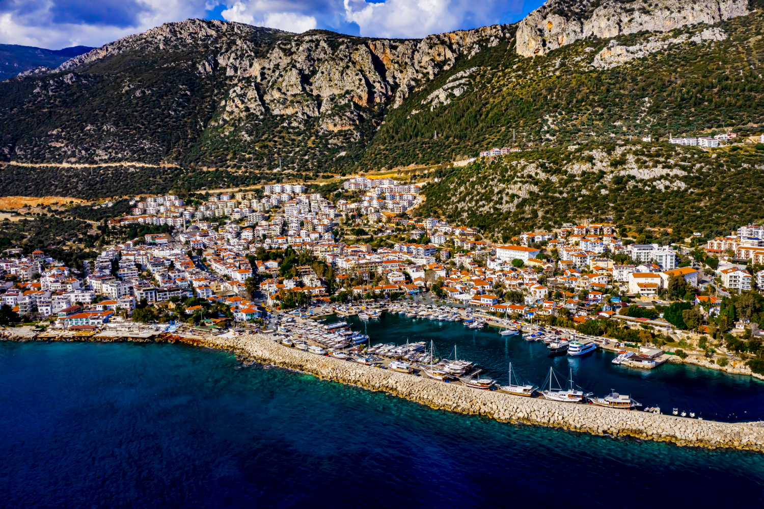
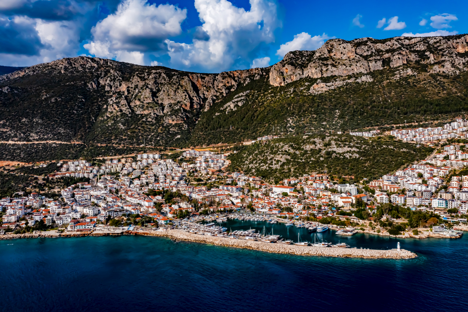
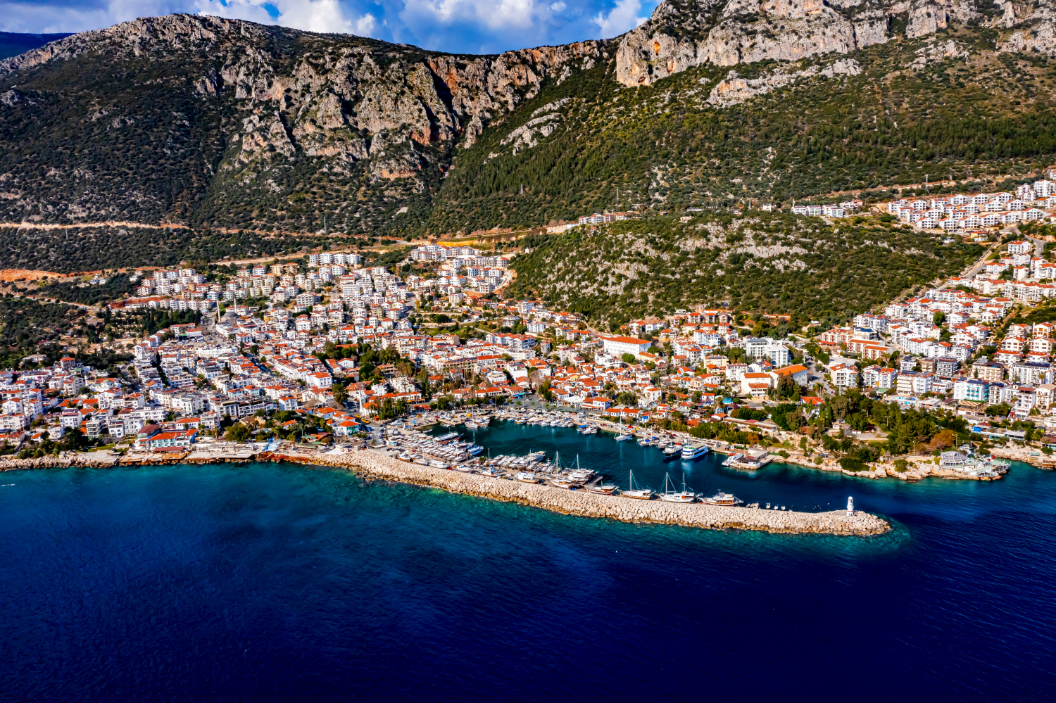
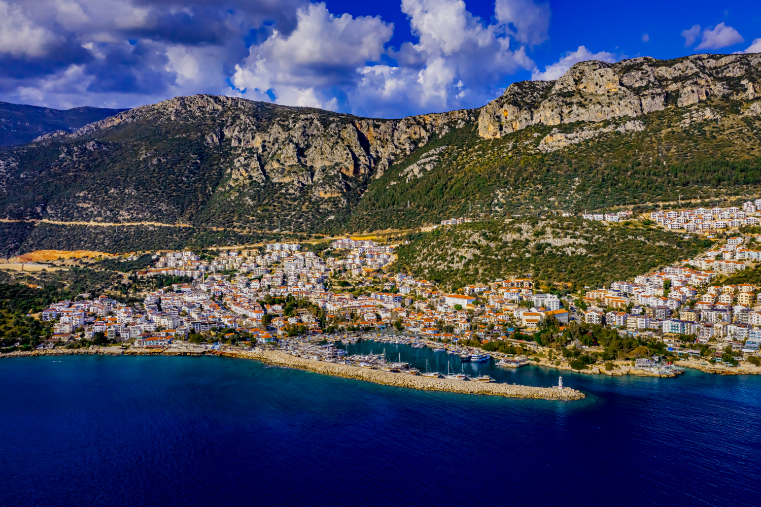
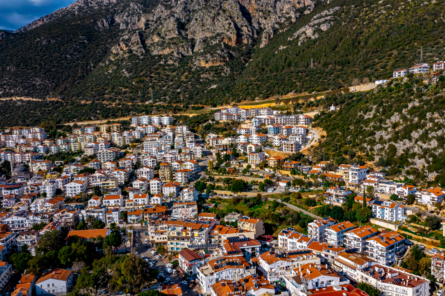
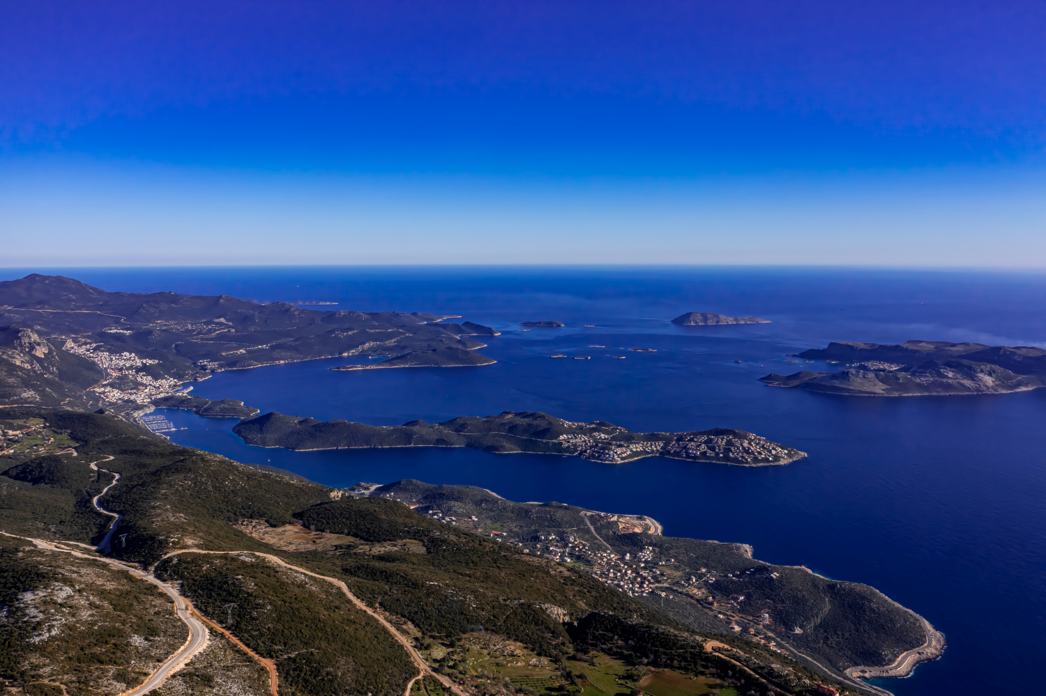
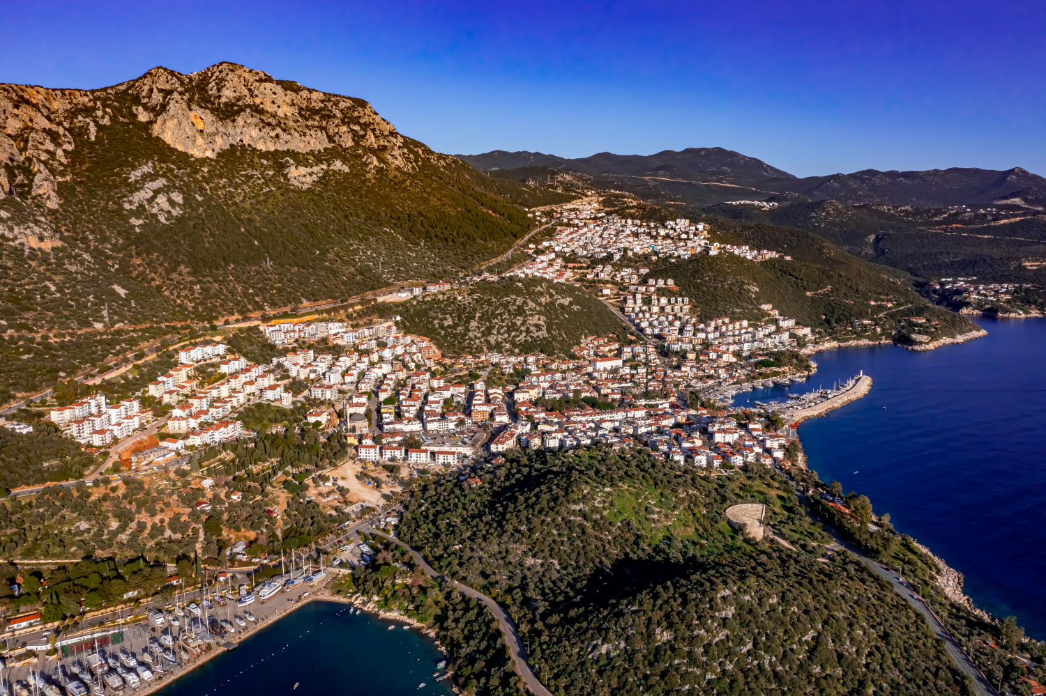
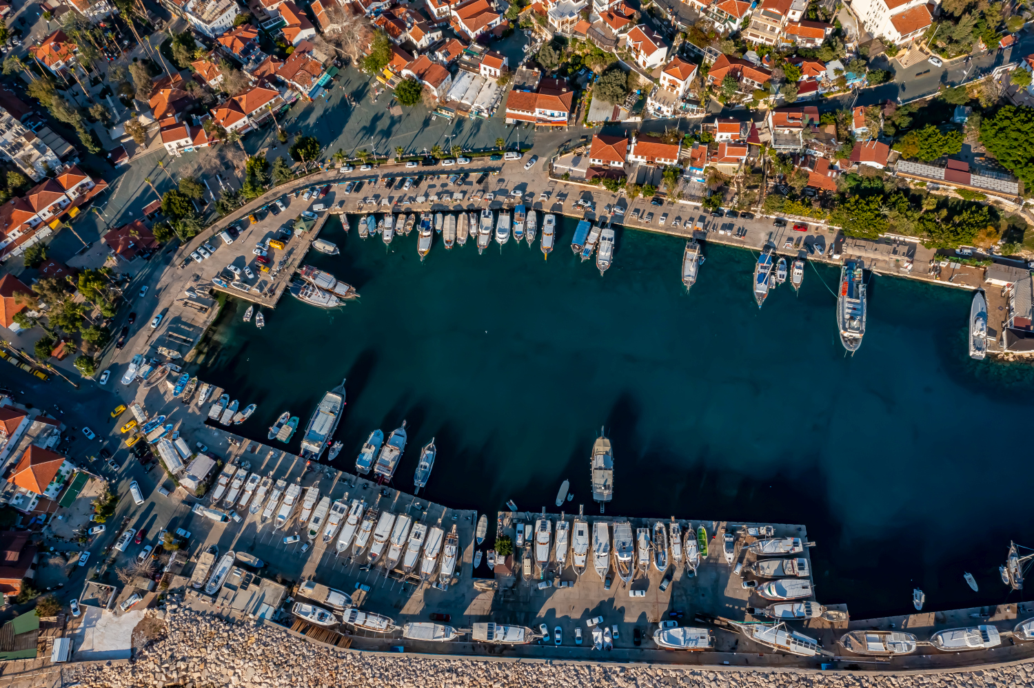
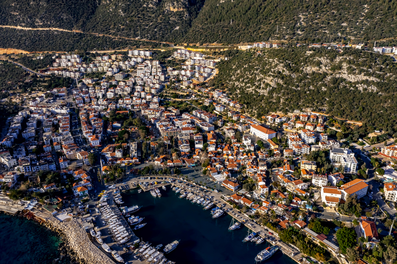
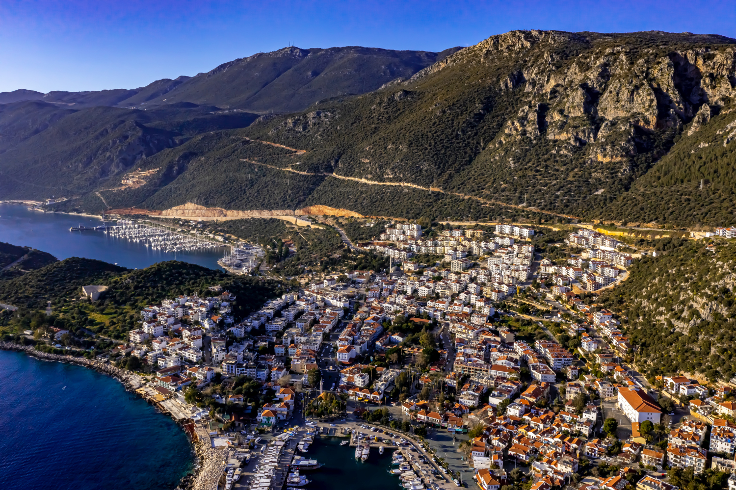
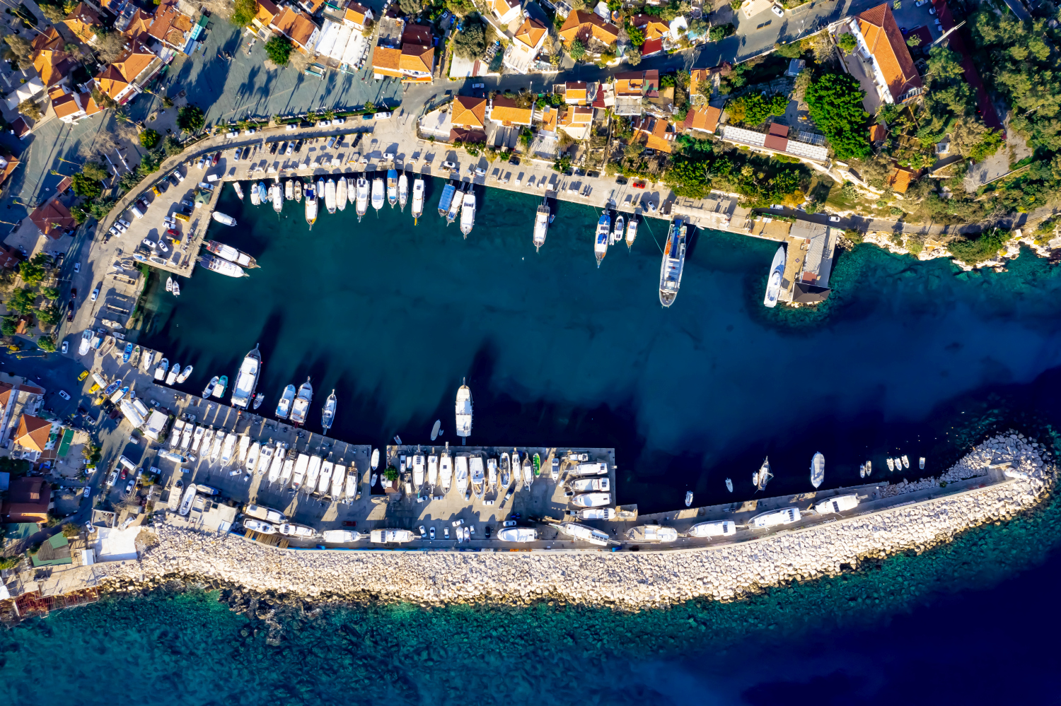
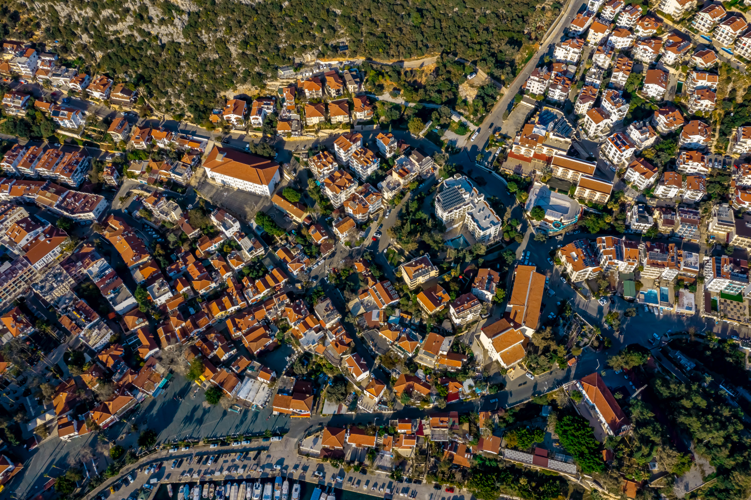
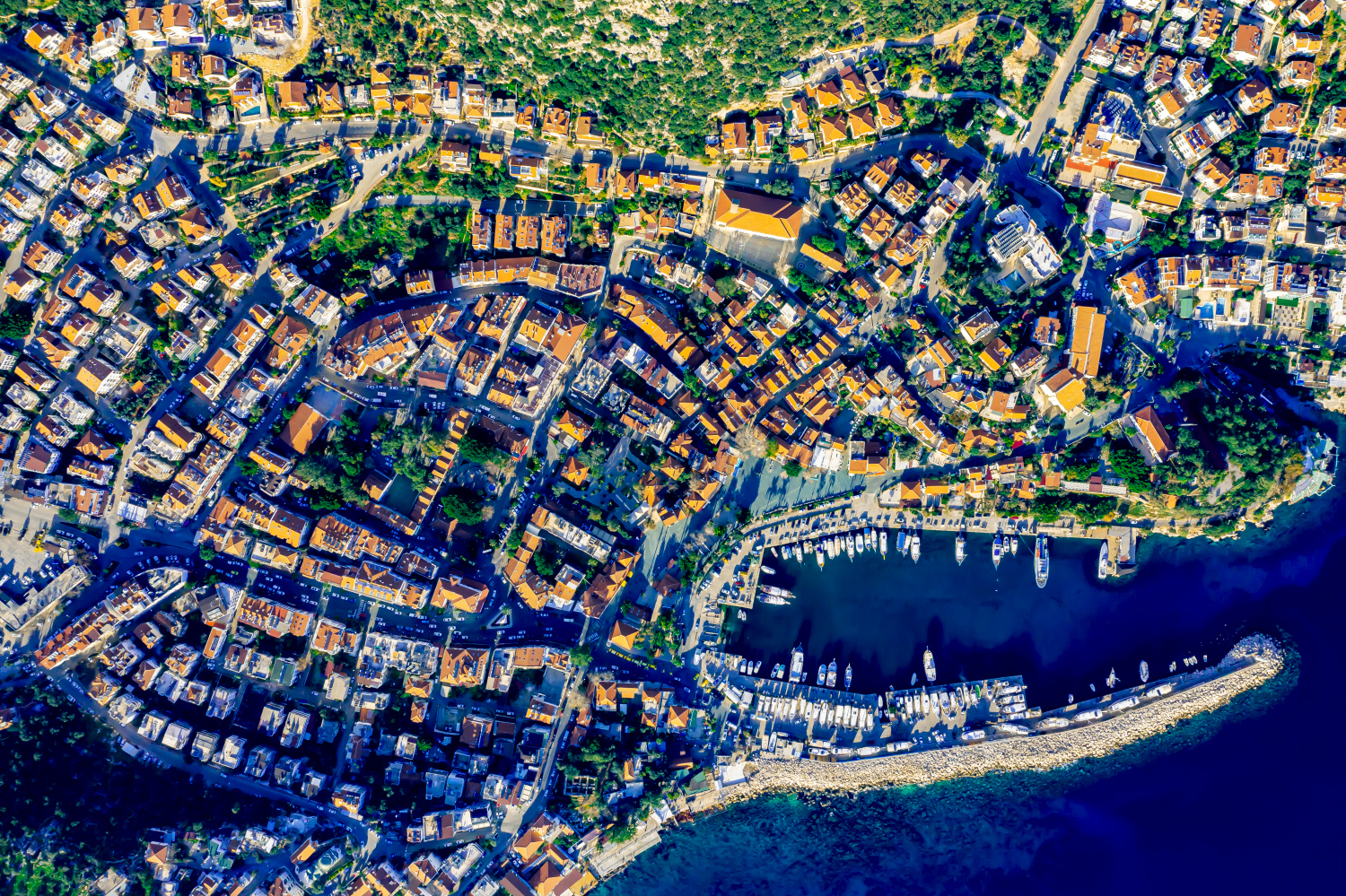
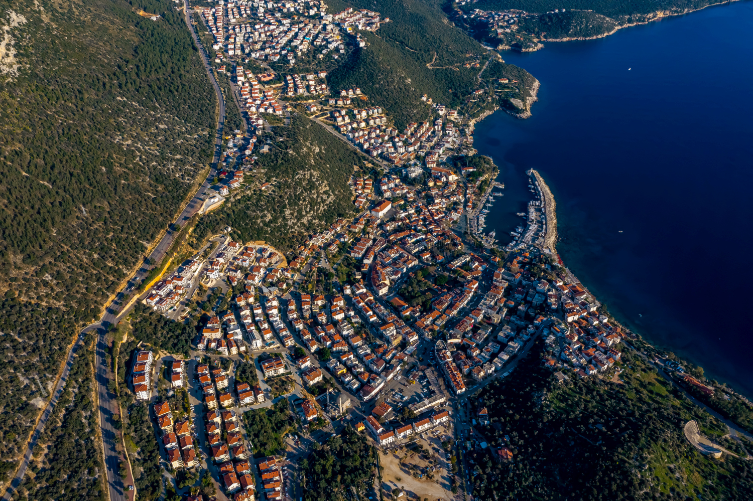
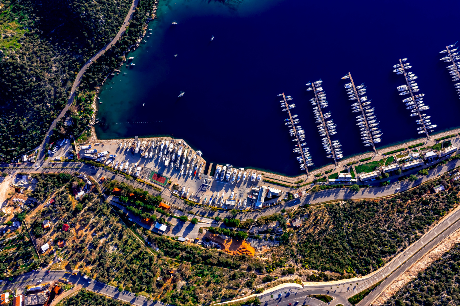
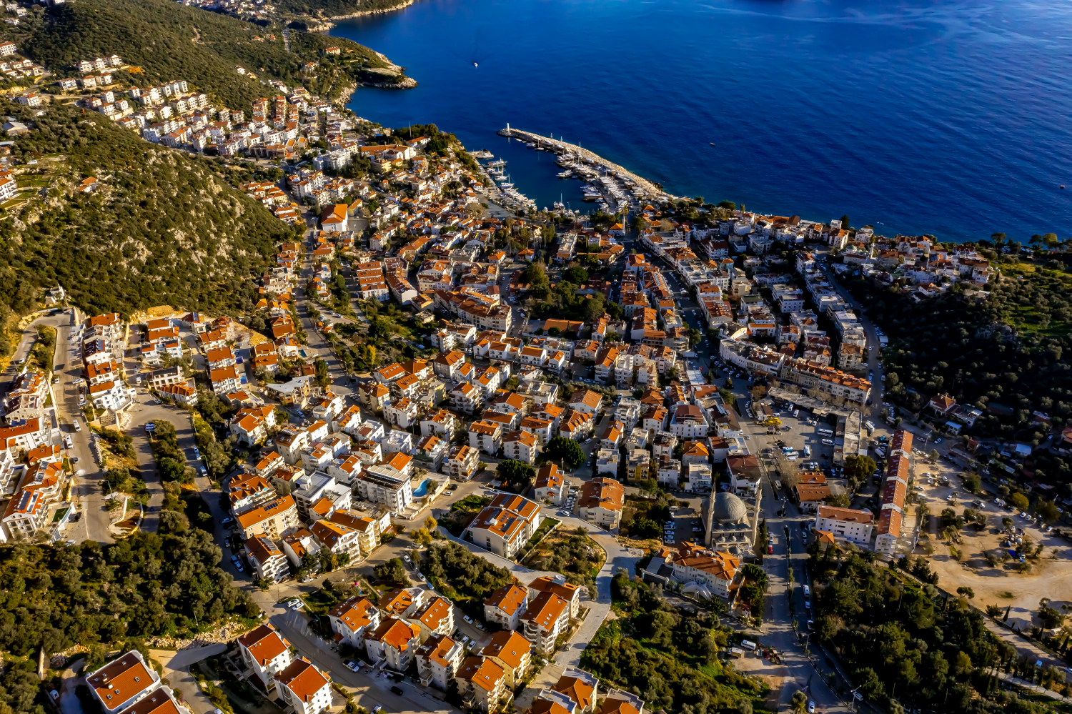
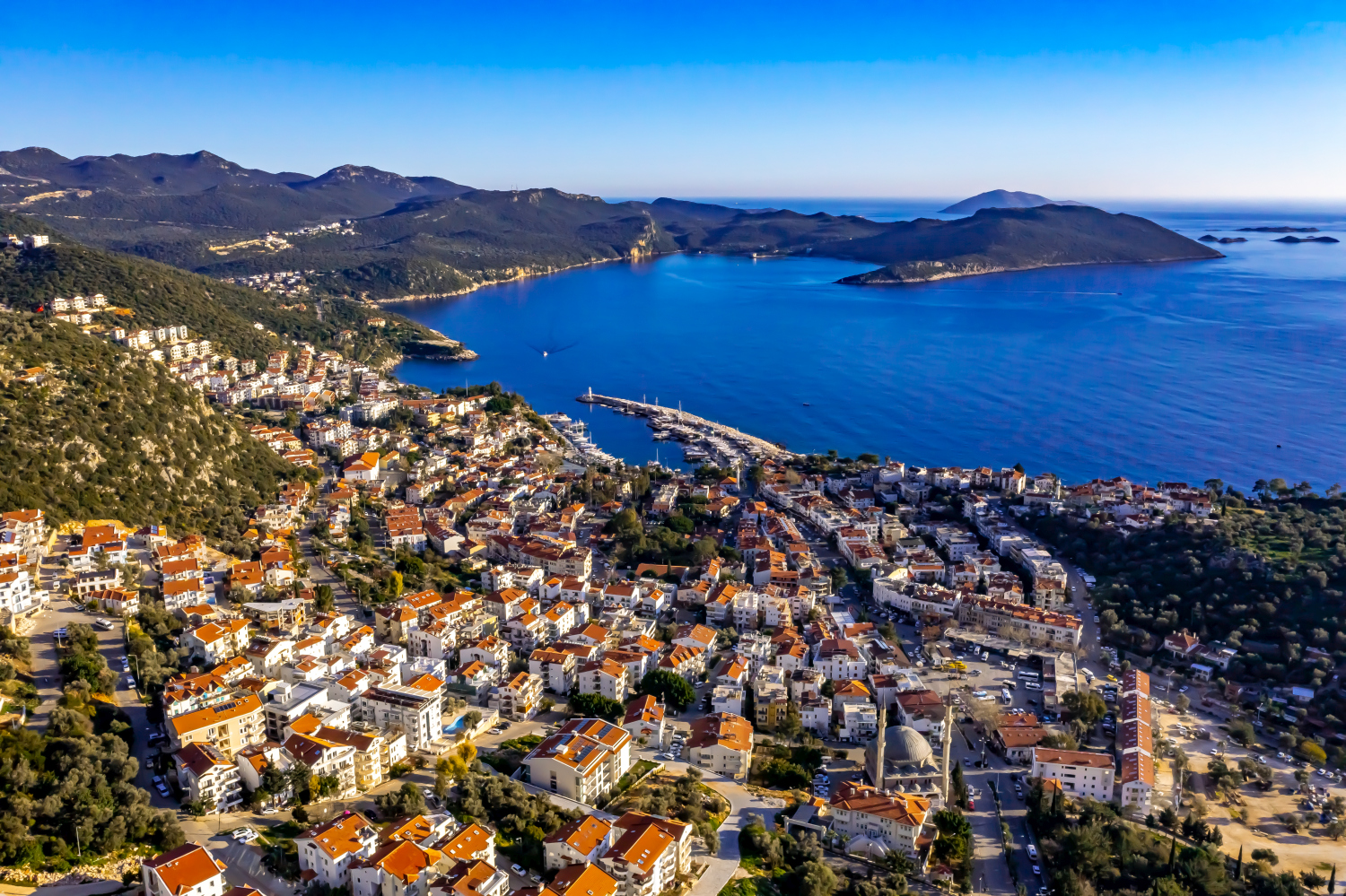
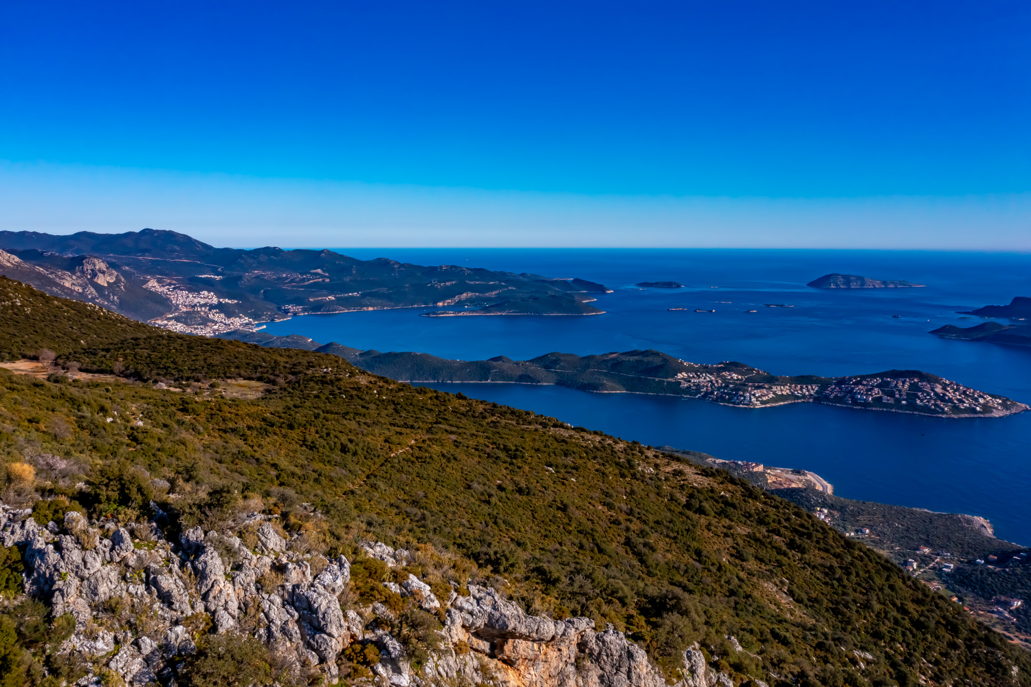
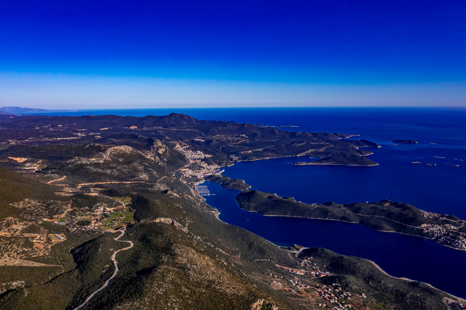
In Kaş, Turkey, houses and narrow streets are close together. Bright roofs extend into the rising landscape, individual green areas remain visible between the buildings. Switching between close-up views and hillside panoramas helps to correctly read the scale of the coastal town.
The built relief of Kaş
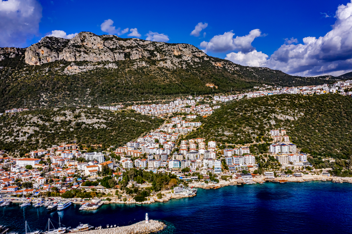
In Kaş, buildings are pushed up by the water. The different levels can be easily traced on the roof lines, while the open sea area provides a calm reference point.
It is difficult to estimate how steep a slope is from a top view alone. A street that rises in curves or the staggering of neighboring buildings gives the eye additional clues. The relief becomes even more vivid if part of the valley floor or the bank remains in the picture. Anyone who selects a recording for a location description can pay attention to this connection. It helps to understand the position of individual subjects without having to estimate height differences from the apparent distance in the image.
What the roofs reveal about the floor plan
If you look at it at an angle, the houses not only show their roofs, but also their facades of different widths. This gives the motif more depth than in the pure top view. Even the change from a low neighboring building to a taller building reveals something about the gradation of the place. Such a view is particularly useful for a local chronicle if the caption indicates the starting point of the view. Readers can then follow the rows of houses themselves to the edge of the picture.
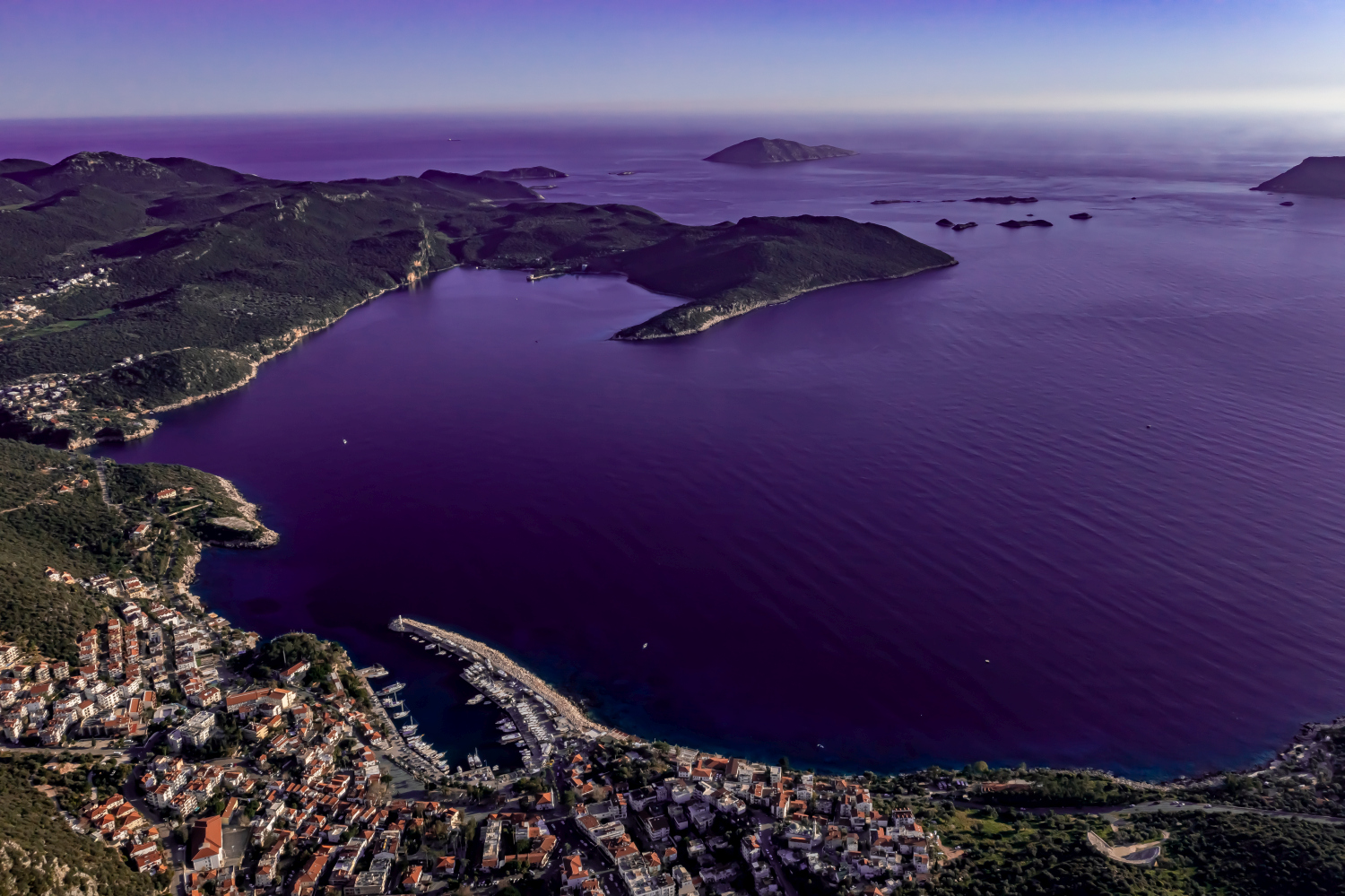
The coastline as orientation
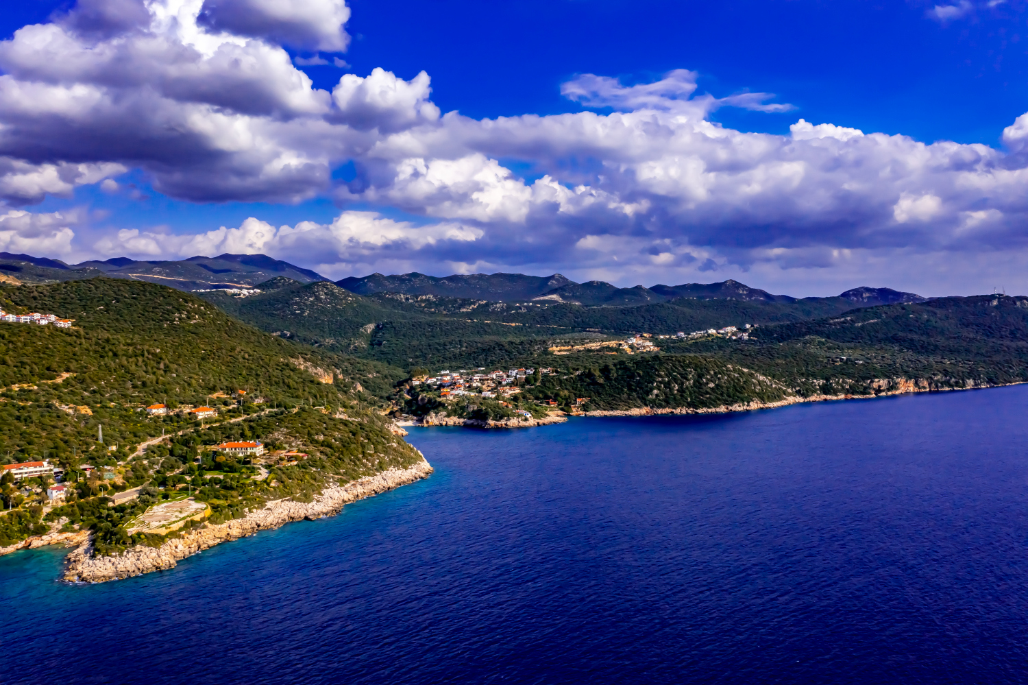
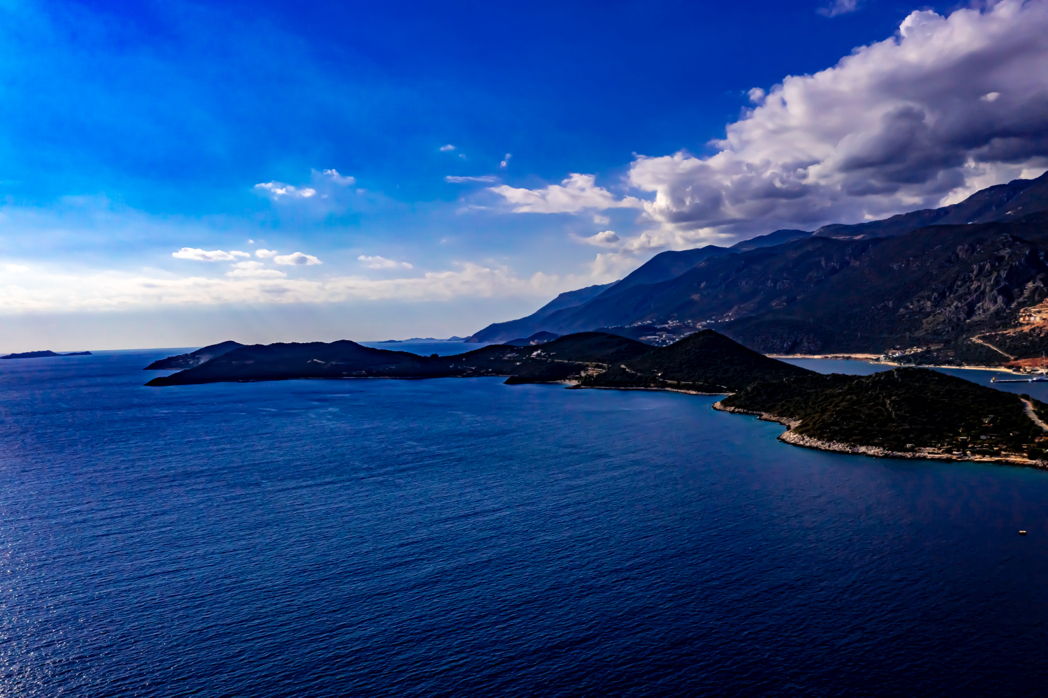
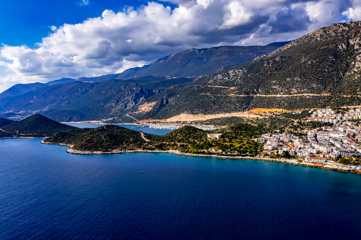
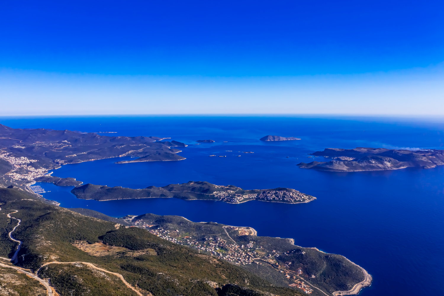
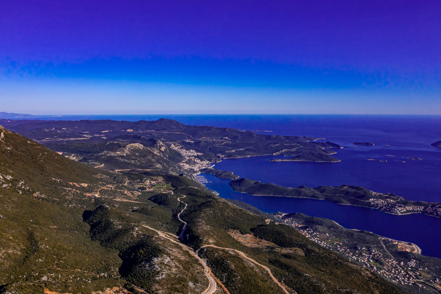
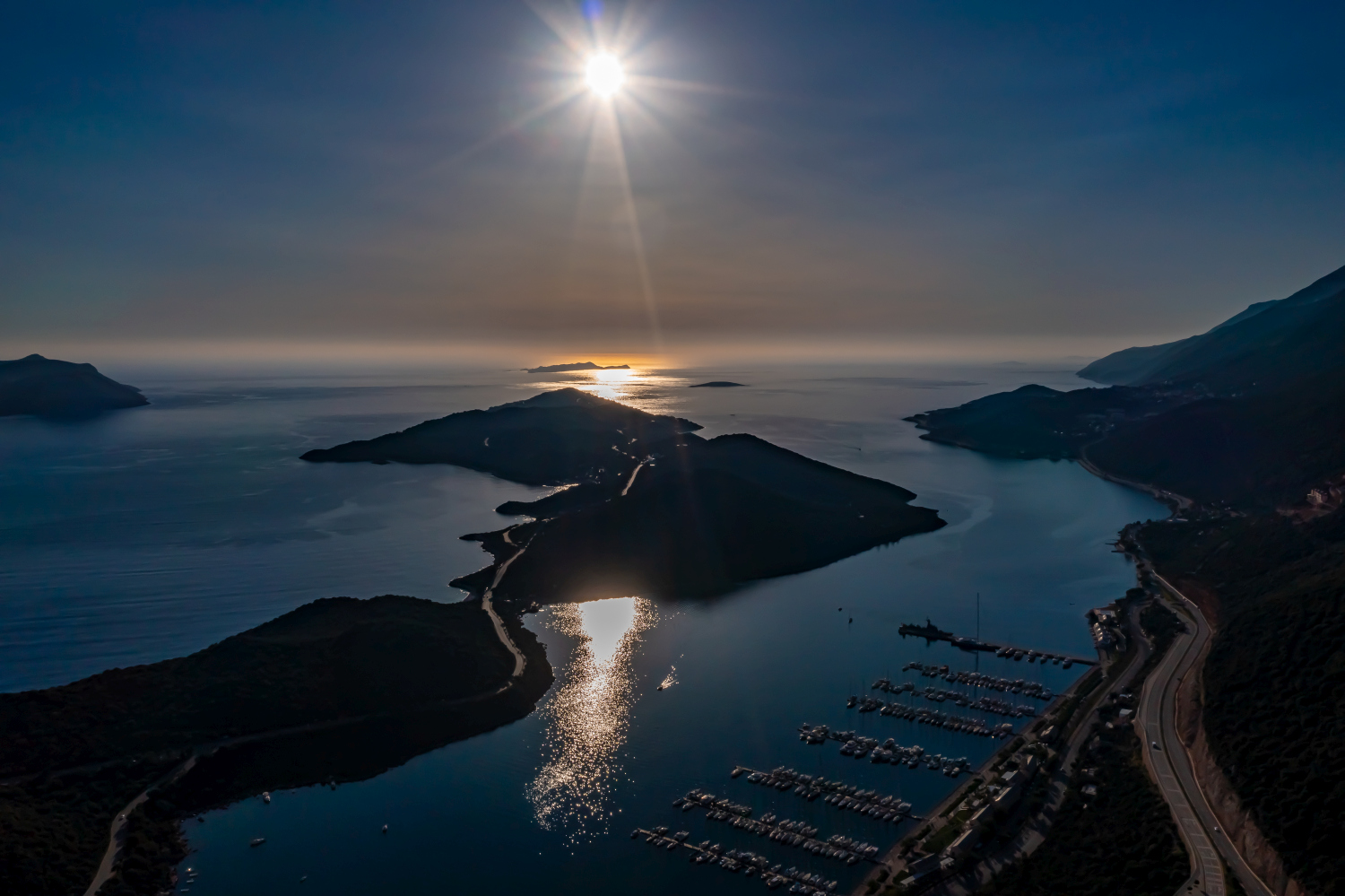
At the sea, the direction of view changes the picture even over a short distance. If you look almost parallel to the coast, you will see ledges and bays one behind the other. From a steeper view, the actual contour of the bank is easier to follow. A piece of open water can deliberately remain in the cutout. It gives the land a recognizable outer edge and creates distance between two shapes extending into the sea. In a publication, an indication of the location together with the name of the visible stretch of coast helps to classify this view more precisely.
The distribution of blue tones
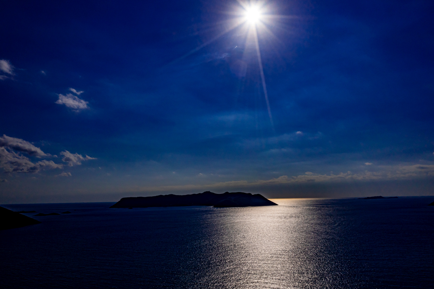
If you browse through the 46 aerial photos, you can stay at shot 21 and shot 10 for a comparison. In the first excerpt, shades of blue play a smaller role. In the second shot, blue areas take up more space. Blue can extend over a large contiguous area or only appear in individual parts. What also counts for the effect is whether these areas extend to the edge of the picture or surround the main subject.
The camera data for shot 46 is February 24th, 2021, and that for shot 24 is March 2nd, 2021. The gallery combines images from different days. Differences in lighting or visibility can be better classified against this background. The exposure time for the first of the images mentioned was 1/2500 second and for the second 1/800 second.
In the Aerial Videos section there are 6 clips for this article. An example is “Kas in Turkey from the air”. Its preview leads directly to the video in the aerial photographer's Adobe Stock portfolio.
Select landforms for a landscape portrait
A single contour line can shape the impression of a landscape and yet reveal little about its extent. For a printed panorama, it is worth looking at the widest view first and then at a section of the same area. In a small format, a foreground with a clear contour can become more important than the most distant peak. If you plan a new view with an aerial photographer, you can make this decision based on the intended page layout and clarify in advance which part of the landscape definitely belongs in the picture.
Related motifs in the aerial photo archive
If you are looking for related motifs, you can start with Cinque Terre. In the Cinque Terre, small settlements punctuate the sequence of steep coastal slopes. It's worth taking a second look at Patara Sand Dunes. At Patara, the flat ridges of the sand dunes meet a long, almost uninterrupted coastline.
Aerial photos of Kaş – Türkiye
Your aerial photographer across Europe
Request a free quote