 F4LUFTBILDER
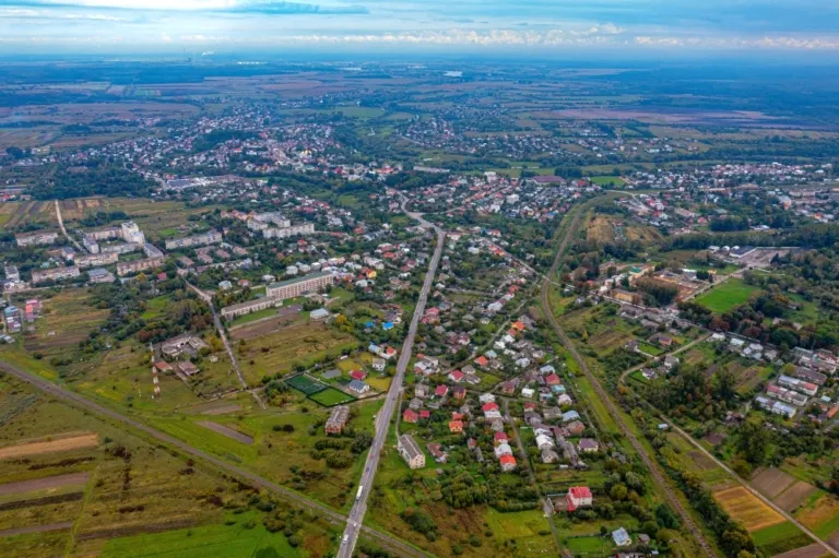


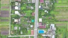
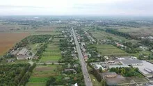
A long local axis in Kamianka-Buska
A long, almost straight axis runs through Kamianka-Buska. From the low-density streets, narrow plots of land merge into greenery. The broad overview shows how extensive the place is, even though its individual houses remain small in the picture.
From the street to the plots
From the major traffic axes, the houses of Kamianka-Buska initially appear evenly distributed. The view across it shows open spaces and long plots of land between the streets. The lateral distances in particular make the layout of the Ukrainian town understandable.
To find your way around an unfamiliar townscape, you can follow a continuous line until there is a noticeable change in direction. It is often only on this path that small junctions or free spaces become apparent. The image section determines how much of this order remains visible. If the beginning of the line remains in the foreground and its destination remains in the back part of the image, a photograph has a clear reading direction even without drawn arrows. It's particularly worth looking at in a portrait format.
Field boundaries as a benchmark
From a greater height, the field appears to be an orderly floor plan. A closer look shows how the paths change direction at curves, embankments and property boundaries. When selecting images, it is helpful to preserve at least one of these transition points. It turns a colored area into a piece of actually used landscape. For an article about the surrounding area, even the inconspicuous edge of a field can explain more than a wide section that only shows numerous plots as small spots.
How the place changes from the inside out
The center of a town can often be recognized from the air by the intersection of several streets. These lines diverge towards the open landscape, the properties become longer and the distances between the houses become larger. Anyone who chooses an image for a location portrait can pay attention to these transitions. A motif with a piece of the surrounding area tells where the place is. A narrower shot, on the other hand, gives people who live or have lived here more opportunities to find familiar buildings in the picture.
Shades of green in the image
If you browse through the 5 aerial photos, you can stay at shot 3 and shot 5 for a comparison. In the first image, green areas make up a smaller part of the section than in the second. It's worth tracking the green areas individually. Only in connection with neighboring forms does it become clear what is in the foreground and what belongs to the more distant surroundings.
For Shot 1 and Shot 5, the same day is noted in the image files, September 24, 2022. The recording times recorded are about 4 minutes apart. The exposure time was 1/160 second for the first of the images mentioned and 1/120 second for the second.
For a selection of moving images, the gallery contains 2 linked clips. Among them is “Kamianka-Buzka in Ukraine with Drone”. Under Aerial Videos the preview leads to the aerial photographer's respective offer at Adobe Stock.
Prepare a cityscape for readers
For a city history, it can be informative to place the aerial photograph next to a street view. In one picture the roof is the reliable reference point, in the other it is often the entrance or the facade. The transition is best achieved via a corner, a square or a visible junction. An aerial photographer can take this connection into account when taking photos. In the printed photo series, a brief note about which side of the street the next photo was taken from is often enough.
Related motifs in the aerial photo archive
If you are looking for related motifs, you can start with Leschnitz (Leśnica). Leśnica, in German Leschnitz, shows strikingly clear streets in the overview. It's worth taking a second look at Beienheim. In the views of Beienheim, the houses form a closed figure between fields of contrasting colors.