 F4LUFTBILDER

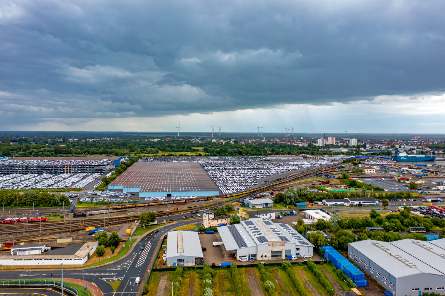
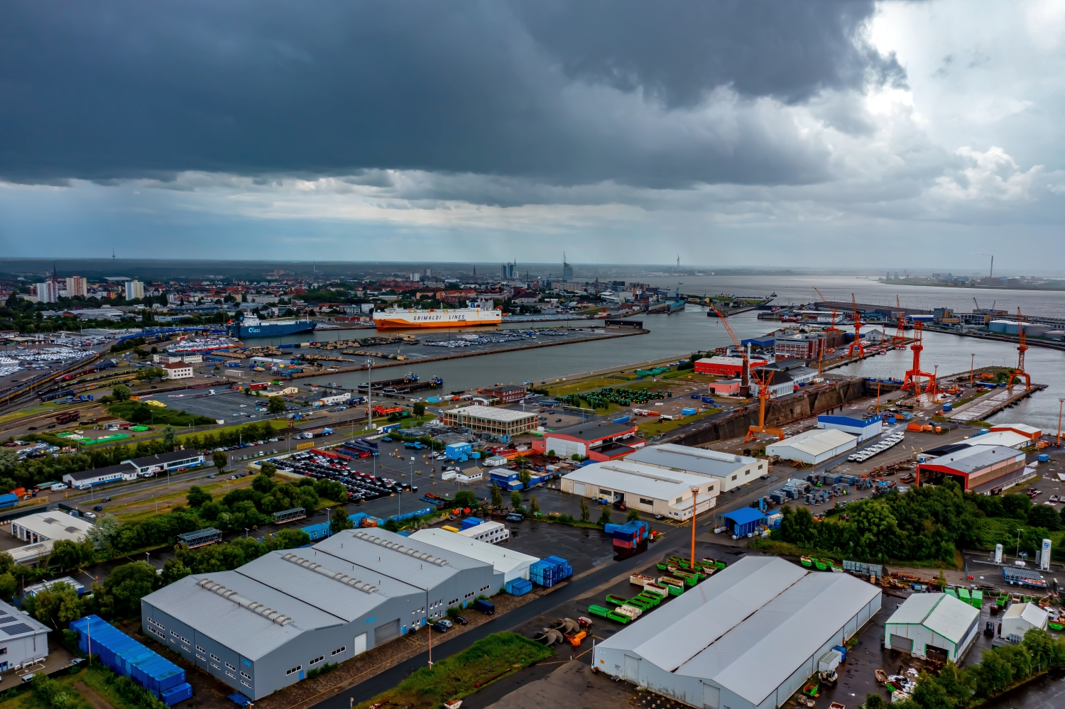
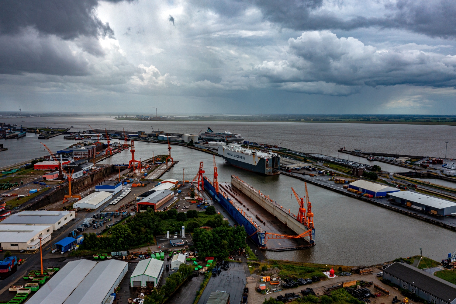
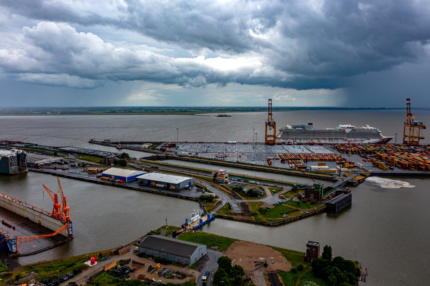
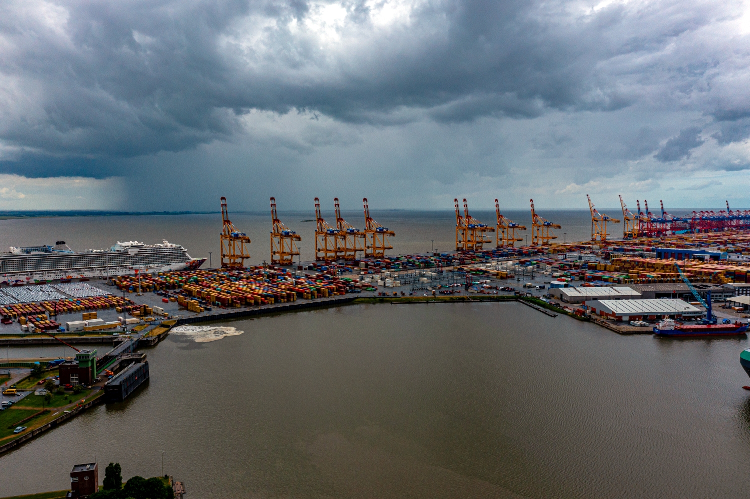
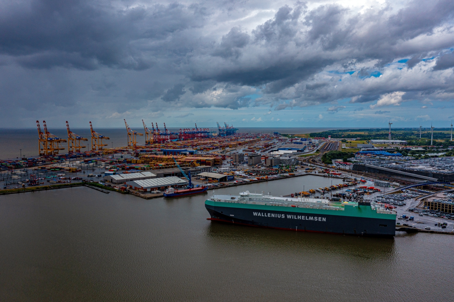
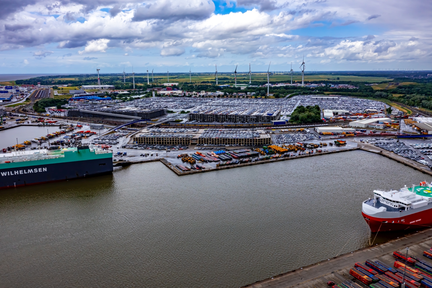
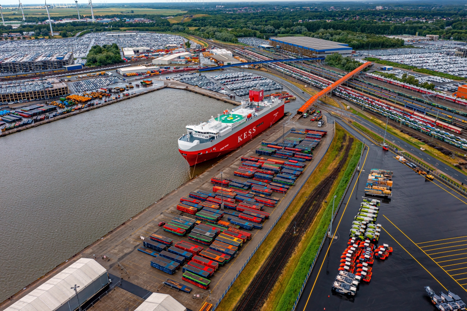

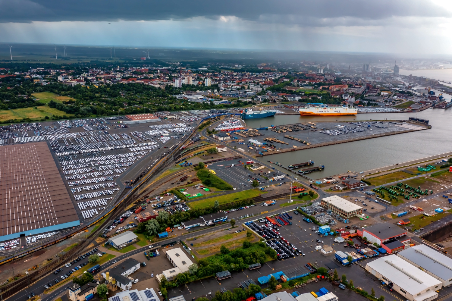
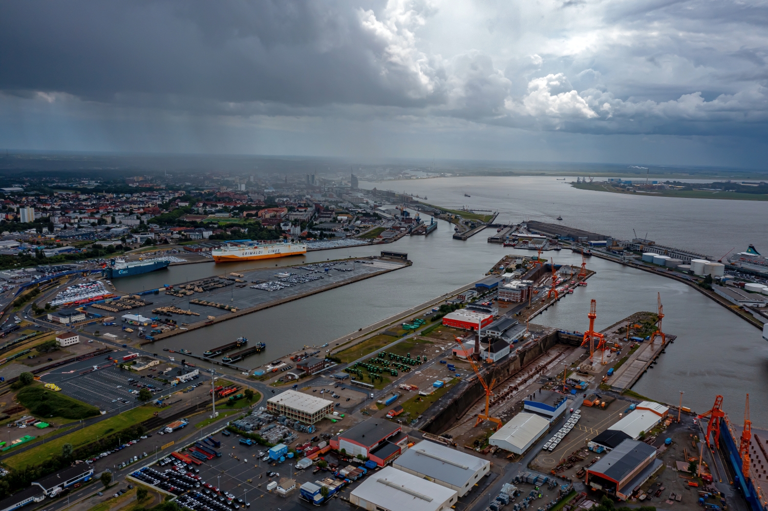
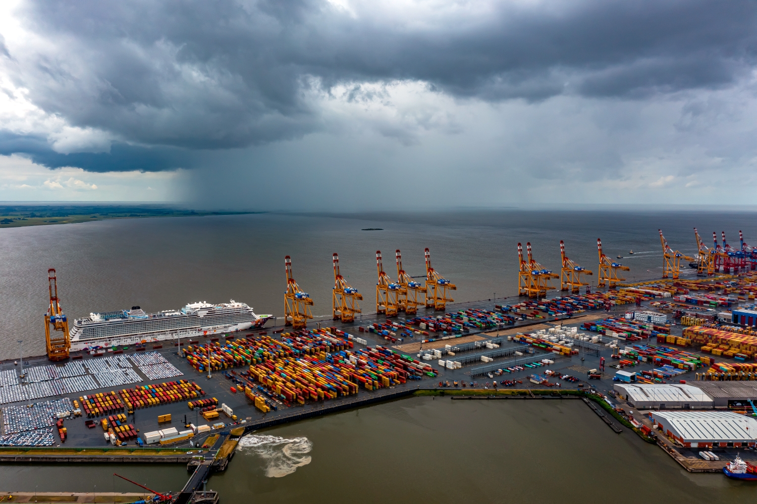
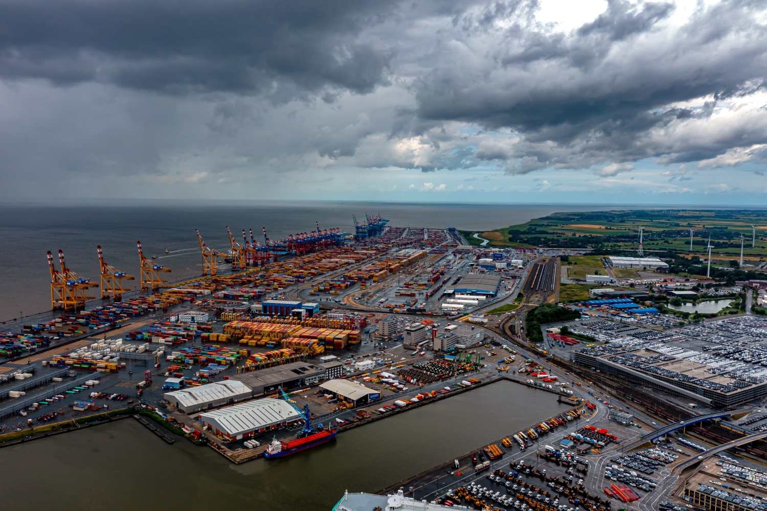
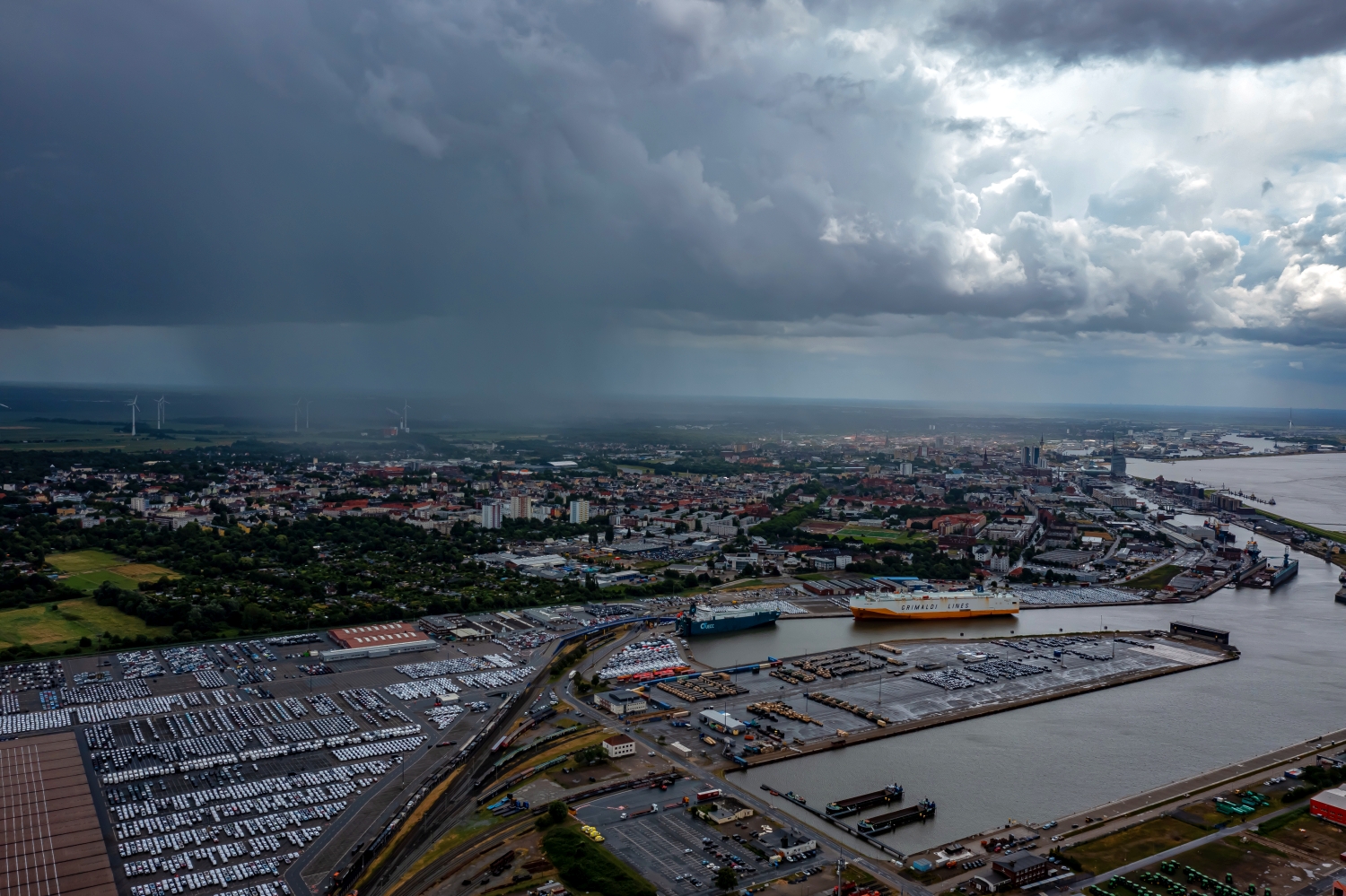
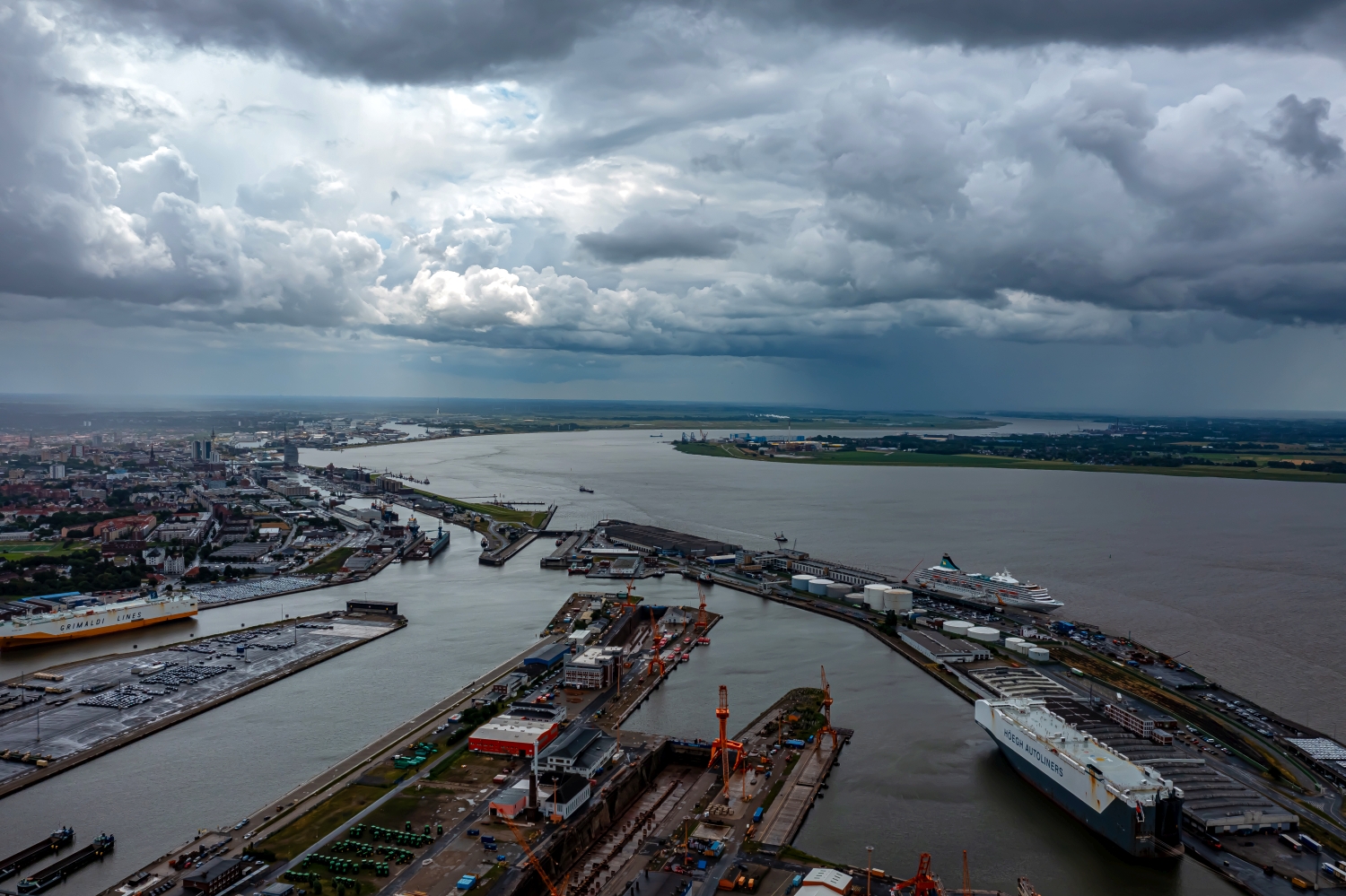
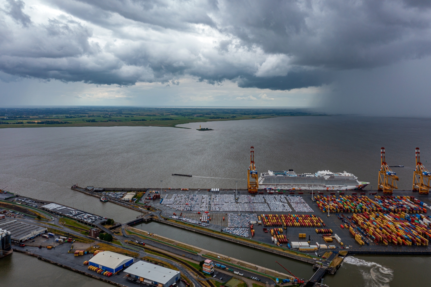
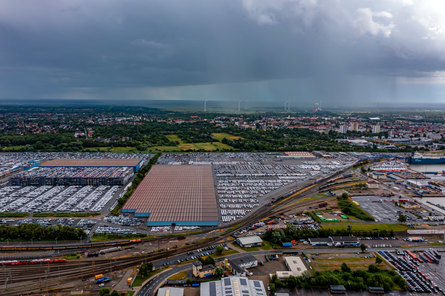
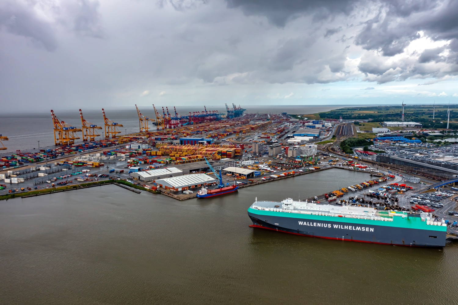
Harbor basins and quay edges in Bremerhaven
In Bremerhaven, the alternation of water and paved surfaces determines the aerial view. There are long halls and technical facilities along the quay edges. A ship on the quay wall shows the extent of the harbor basin, even if the opposite edge is far away.
The order of a seaport
Changing the direction of view is particularly effective at the Bremerhaven harbor basins. Along the edge of a quay, a ship looks like part of the row of buildings. The entire shape of the ship stands out from the water and has its own place in the harbor image.
In a harbor, the individual areas are best seen from the water. A pier delimits the entrance, straight edges frame a pool, smaller footbridges divide the area. Boats and ships provide an indication of size without an exact distance being able to be derived from the image. The shape of the harbor provides an overview. A closer look at the edge of a quay, on the other hand, shows how the water directly connects to the landside paths, buildings or open spaces.
Technical buildings as a spatial structure
A technical site often has several striking shapes that appear separated from the ground by fences or neighboring buildings. The elevated perspective shows their arrangement relative to each other. Interruptions, connecting routes and free operating areas are just as informative as the largest buildings. A carefully chosen section shows where a system begins and how it connects to its surroundings. The exact function of individual lines or system parts should only be stated if it can be reliably assigned based on additional information.
Light and surface of the water
On water, colors and brightness change with the direction of the light. A bright spot can be a reflection, a darker stripe can be caused by the shadow on the bank. The easiest way to describe such differences is to use a solid bank edge or an object in the water as a comparison. Two different distances are attractive for a sequence of images. The closer view shows small surface structures, while the overview makes their location in the entire water surface understandable.
The distribution of blue tones
Among the 18 photos in the gallery, shot 8 and shot 14 provide a good starting point for the comparison. In the first excerpt, shades of blue play a smaller role. In the second shot, blue areas take up more space. Blue can extend over a large contiguous area or only appear in individual parts. What also counts for the effect is whether these areas extend to the edge of the picture or surround the main subject.
The camera captured July 3, 2023 for shot 1 and shot 18. The time interval between these two views is approximately 6 minutes. The exposure time was 1/160 second for the first of the images mentioned and 1/240 second for the second.
Select the coastal view for a photo series
When telling a story about a coast, the order of the images counts. A further look first explains the course of the bank. A closer view can then show the transition from land to water. If an image series begins with a narrow section, readers usually need an additional location reference. The planned size is also important for the aerial photographer. A small indentation can be a clear reference point on a double page spread and almost disappear completely in a narrow column. The caption should match the actual section used.
More aerial photos for comparison
Two further articles invite comparison. In the first, San Antonio, a different detail is in the foreground. There are many small boats scattered across the protected water areas off San Antonio. Then you can go to Lindau Bodensee. Lindau can be read by the shape of its island.