 F4LUFTBILDER

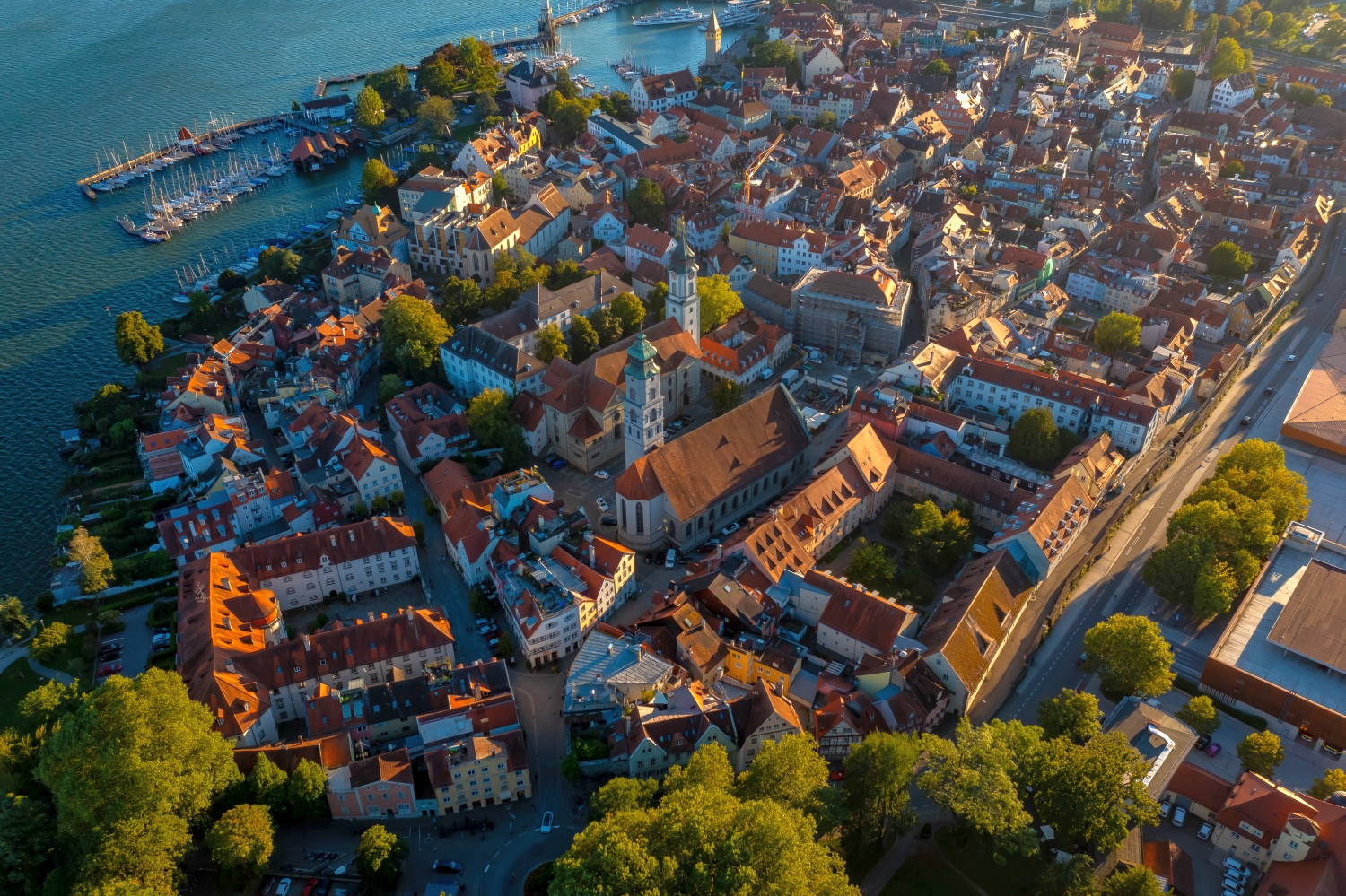
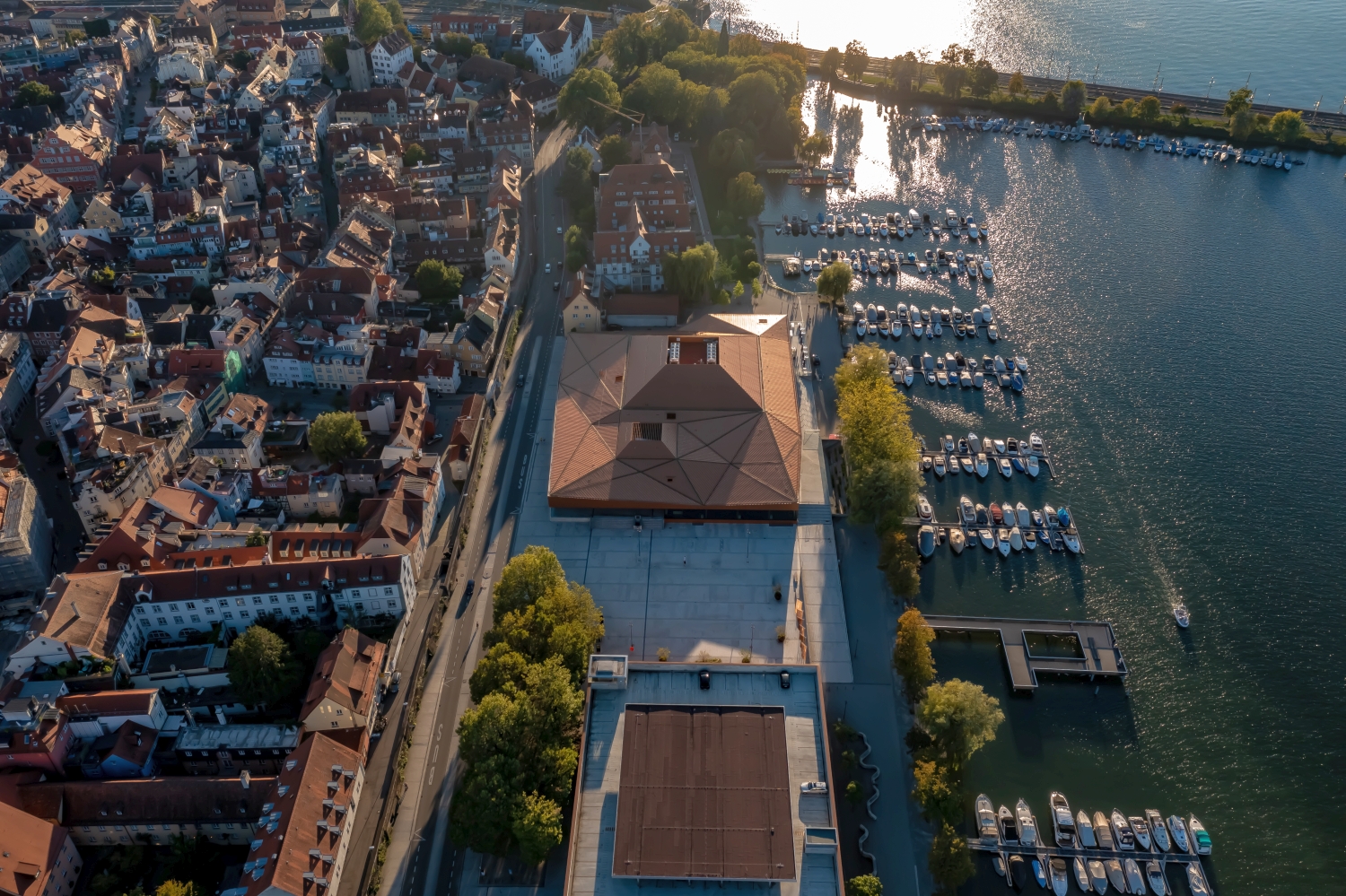
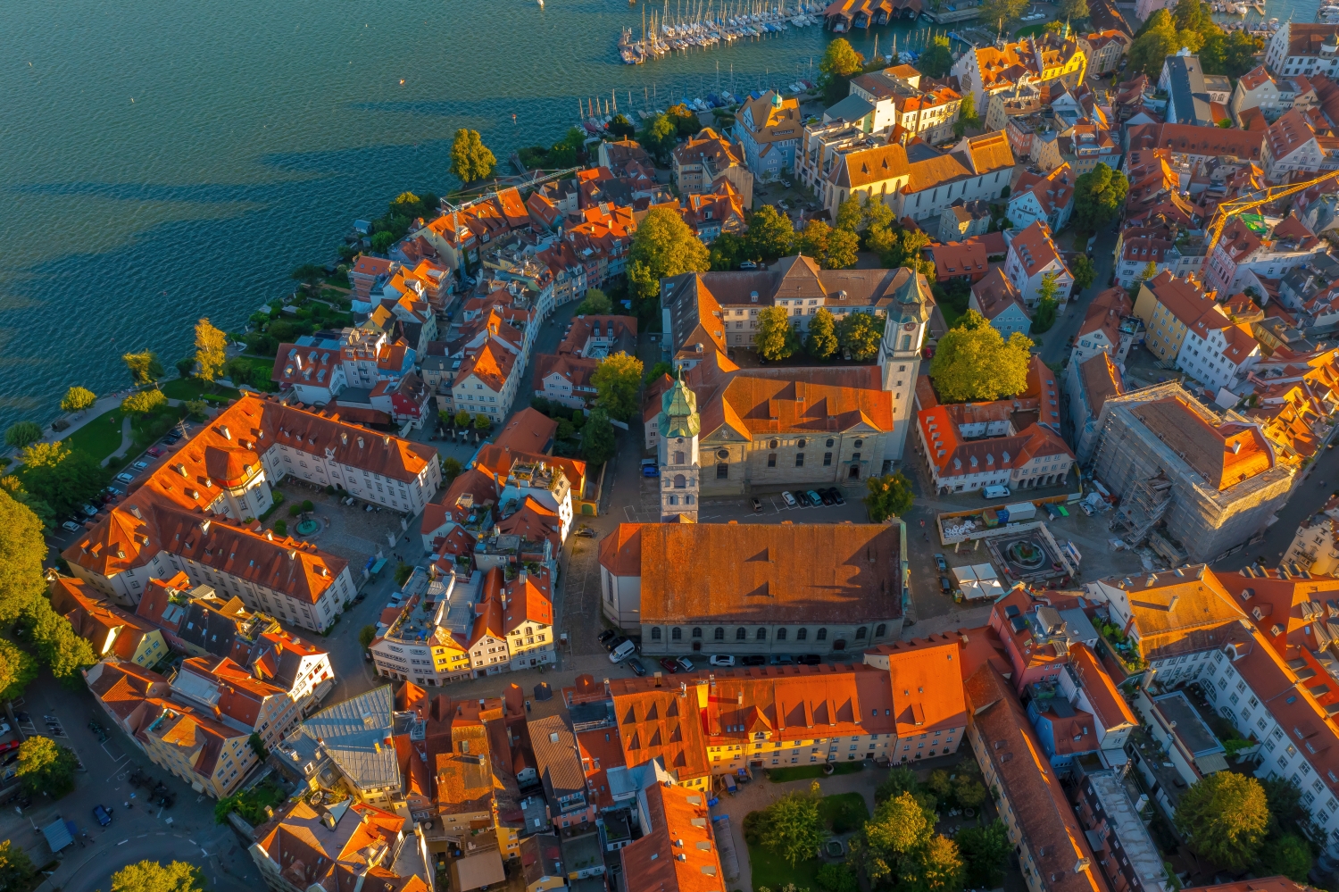
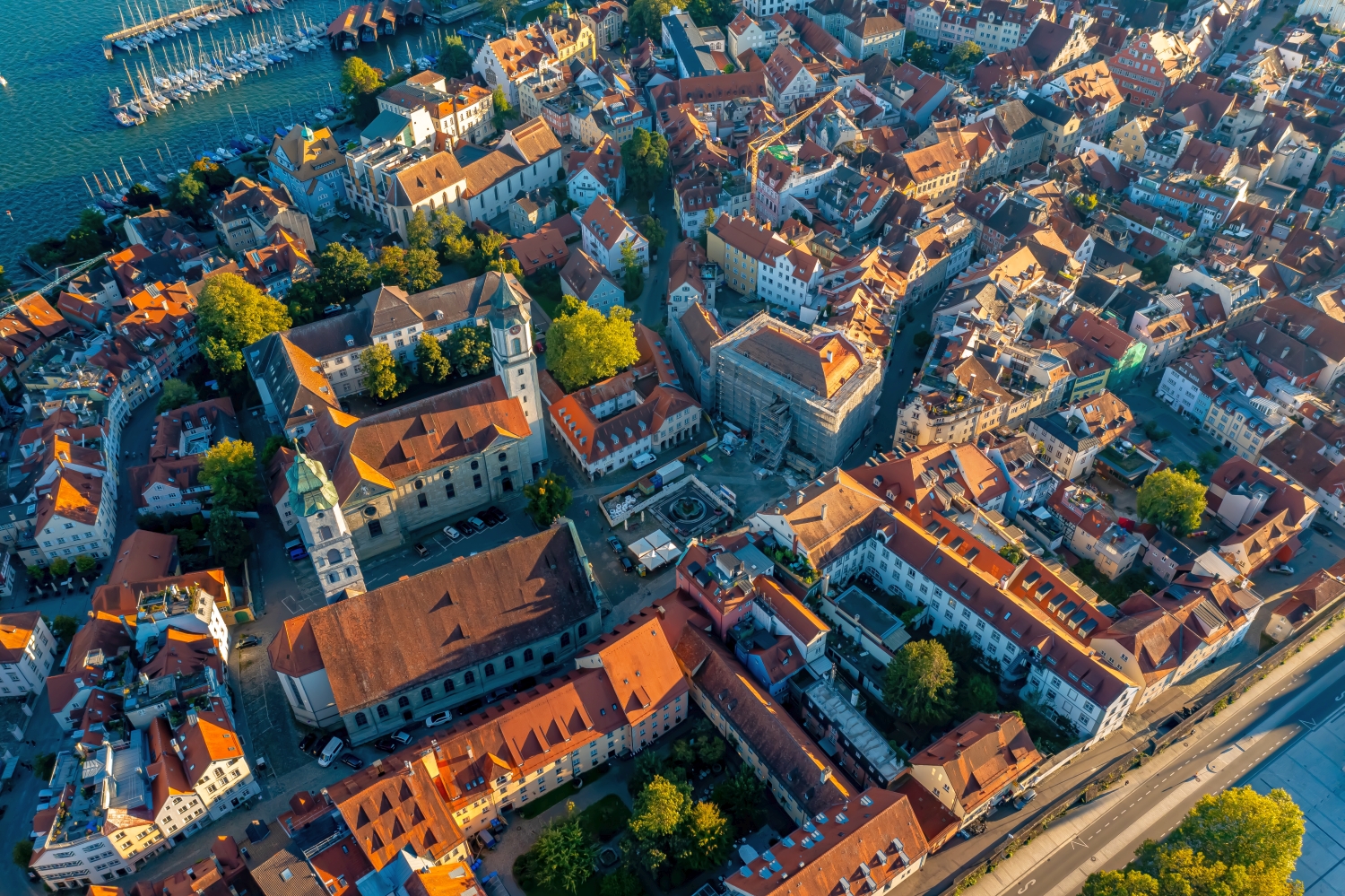
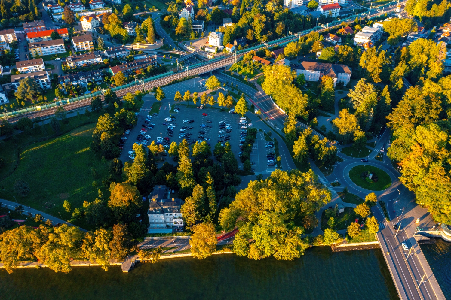
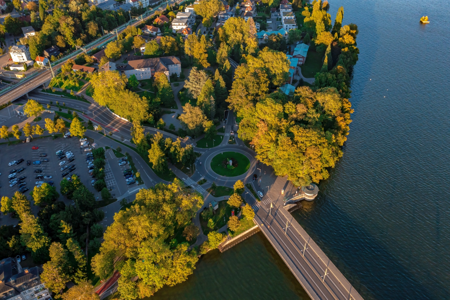
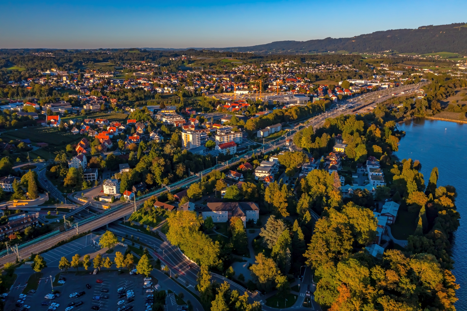
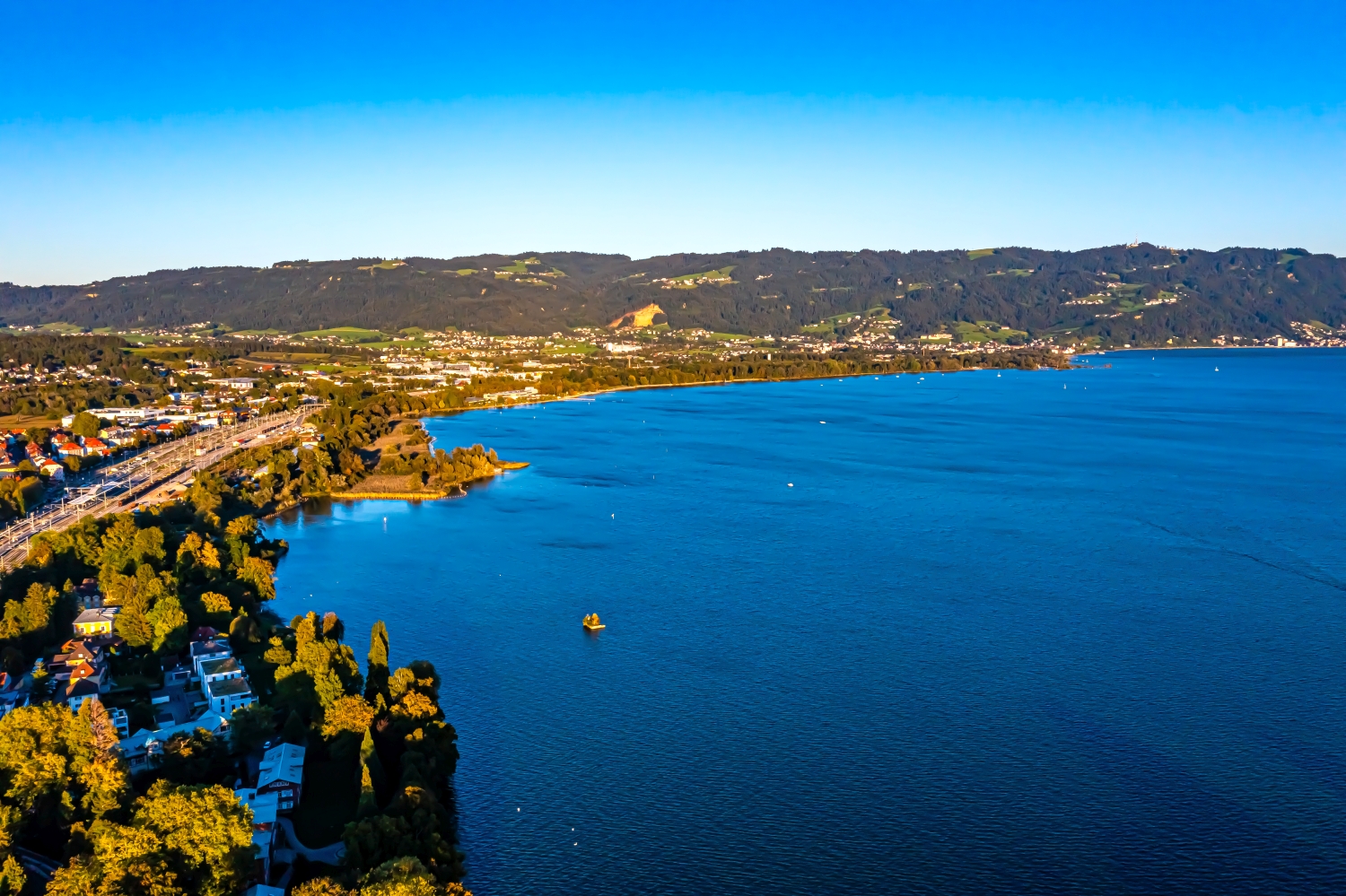
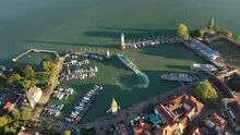
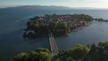
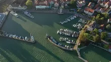
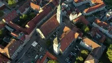
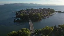
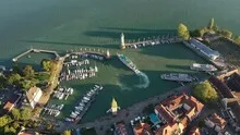
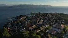
Island town and harbor on Lake Constance
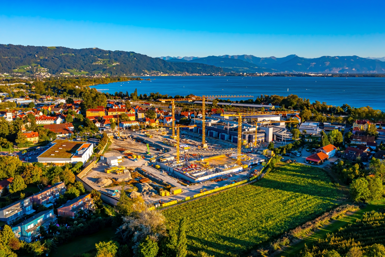
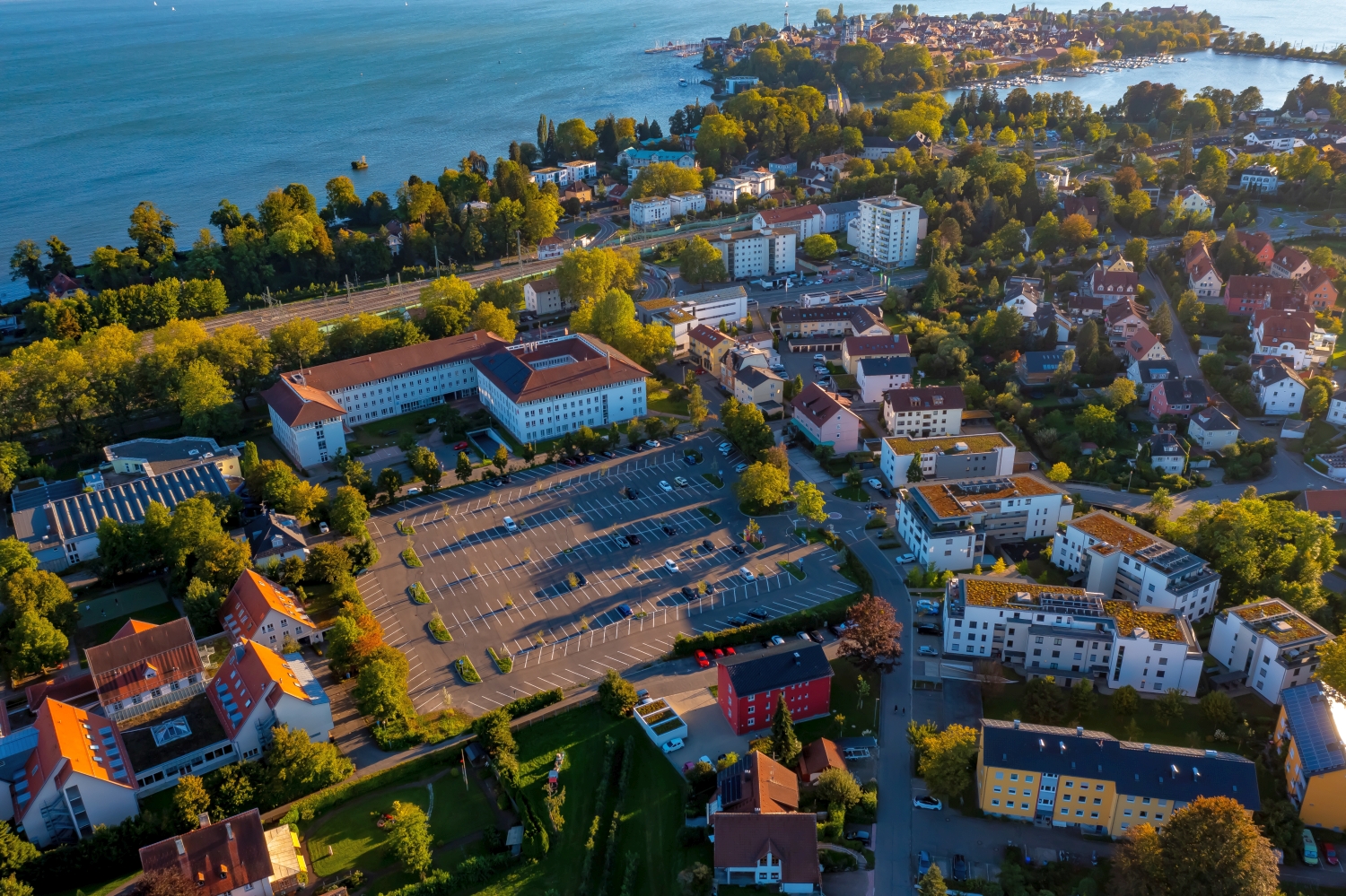
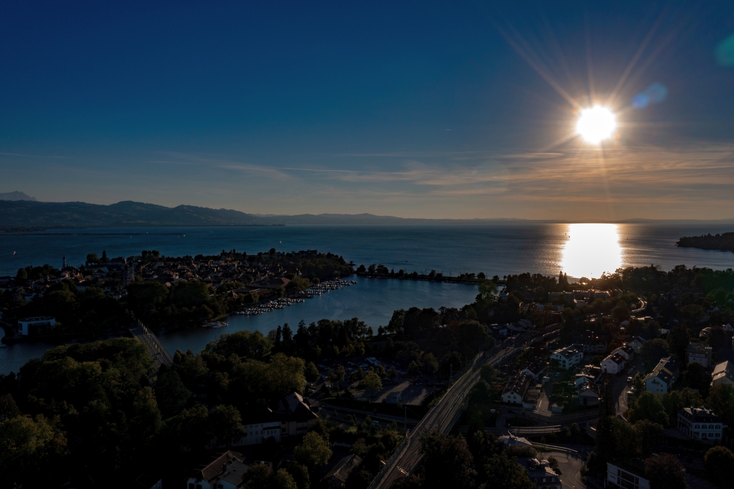
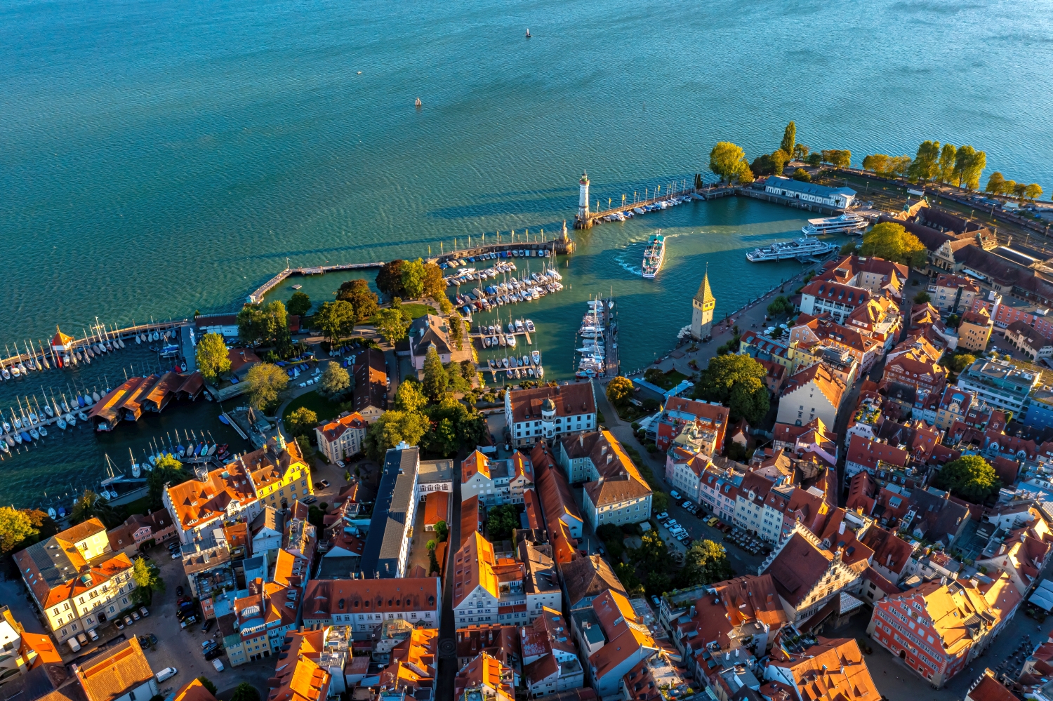
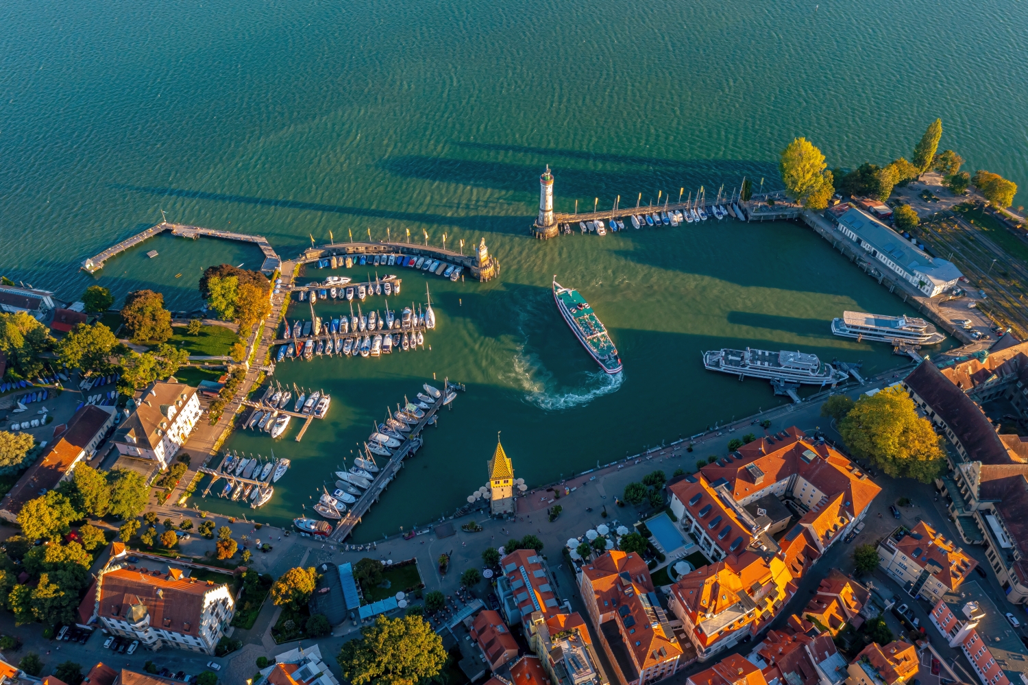
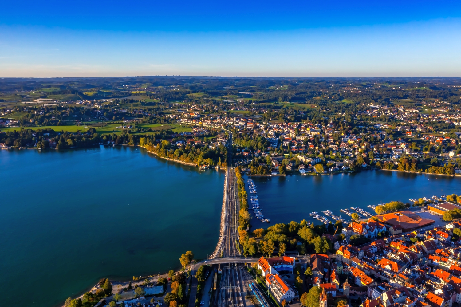
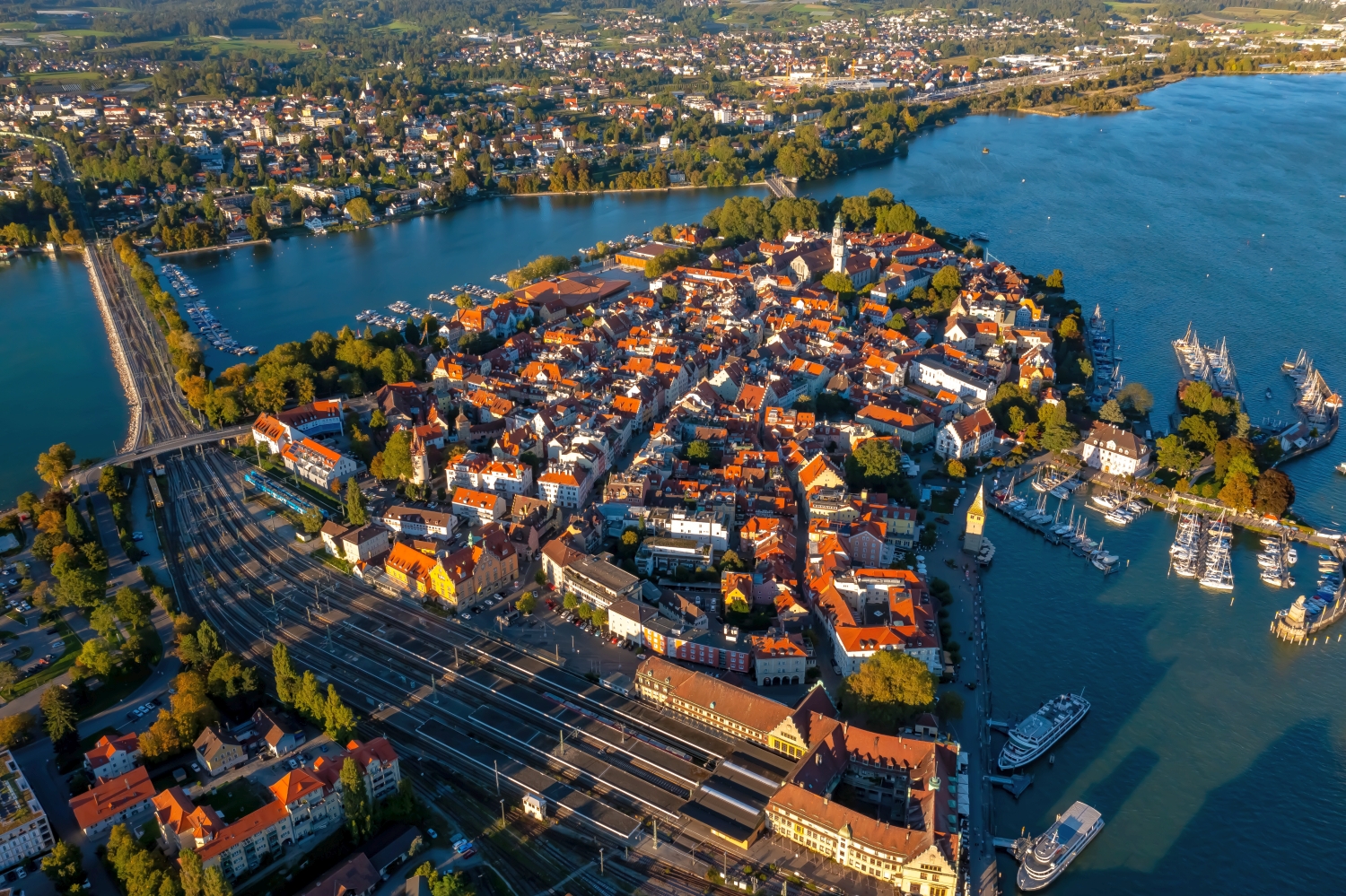
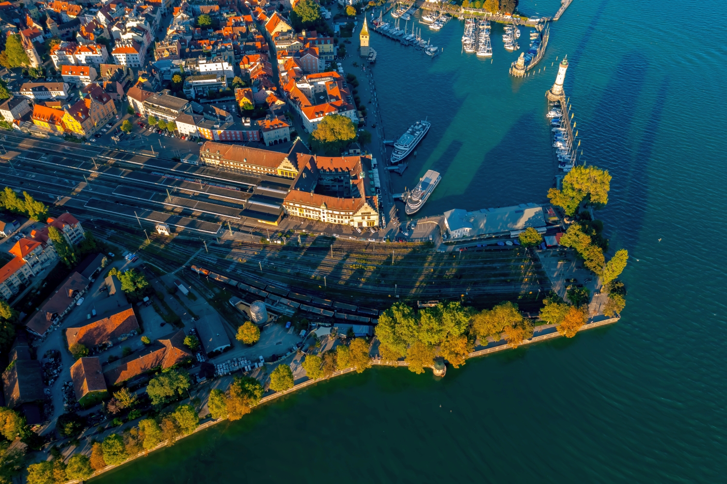
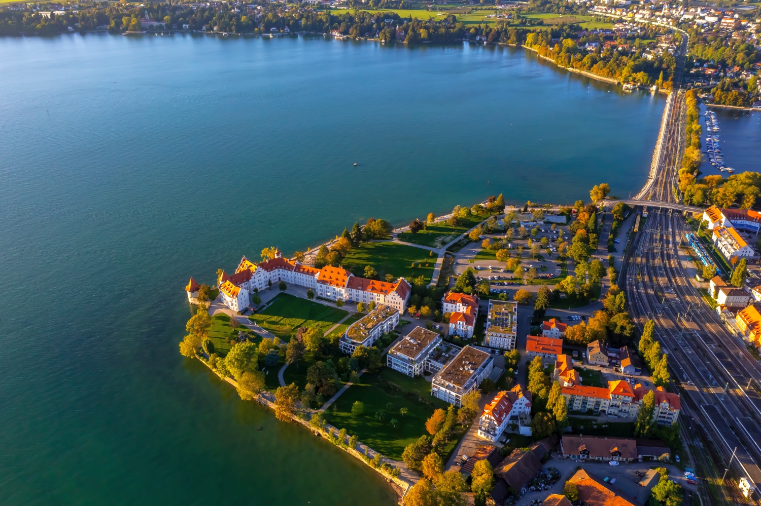
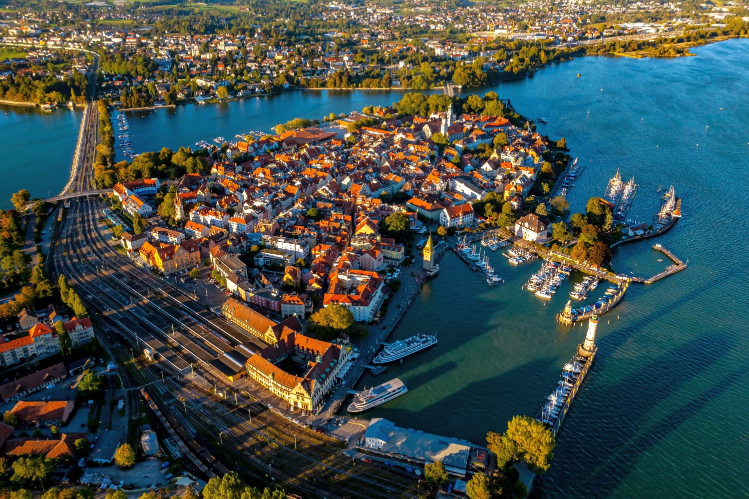
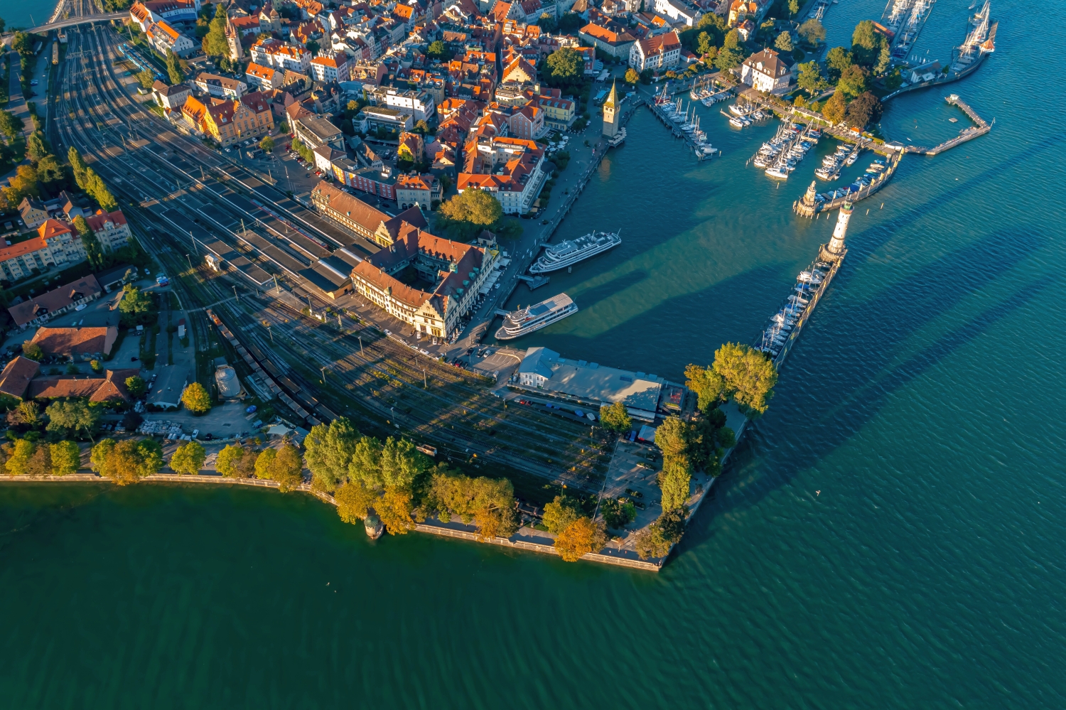
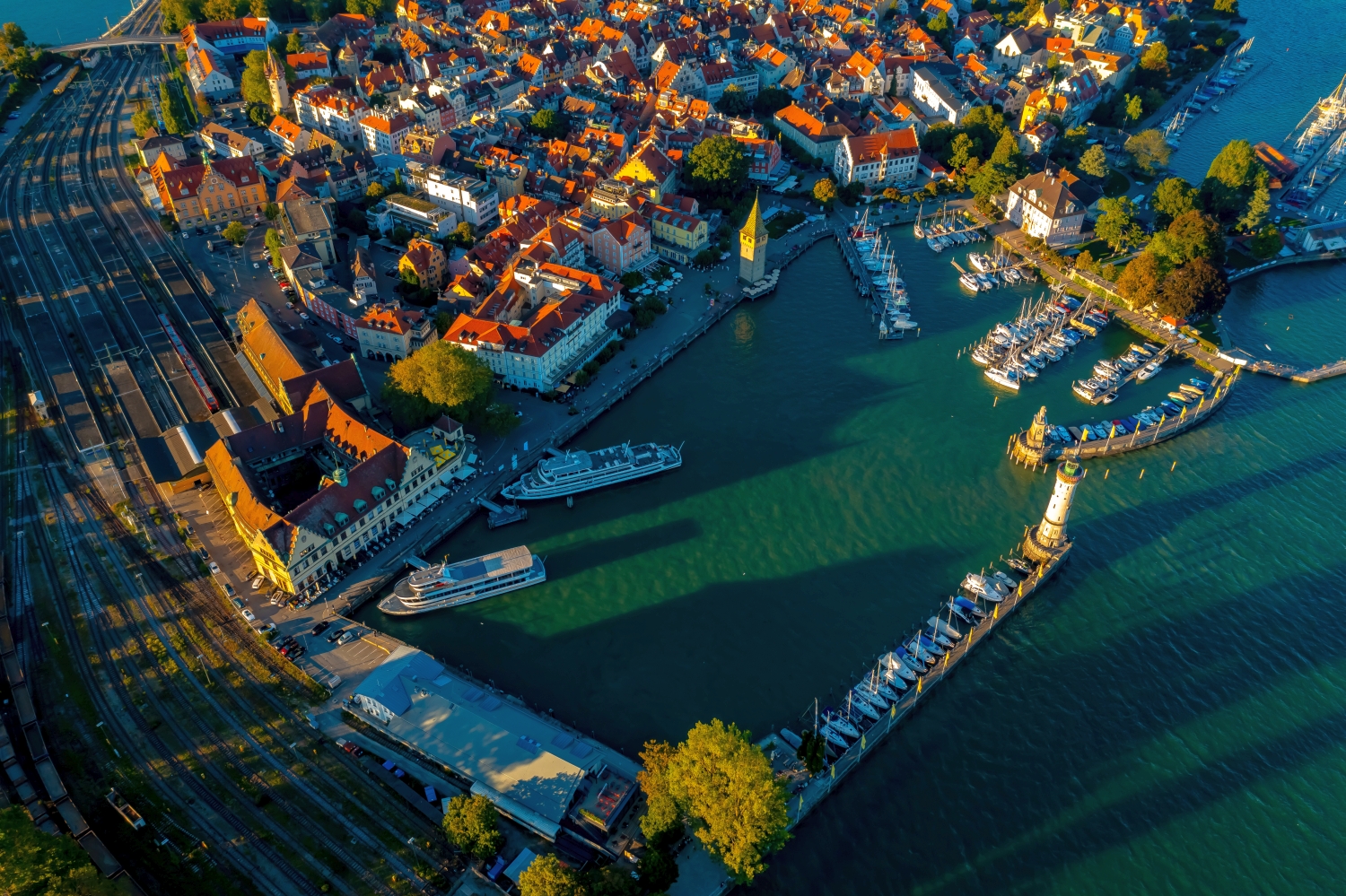
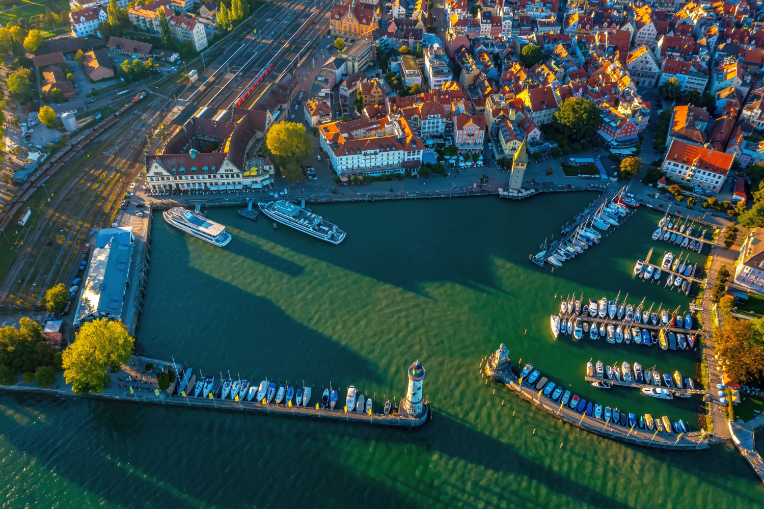
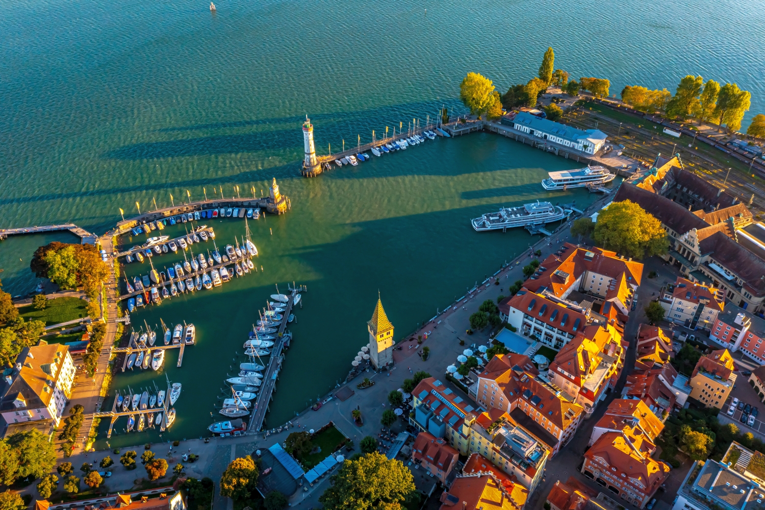
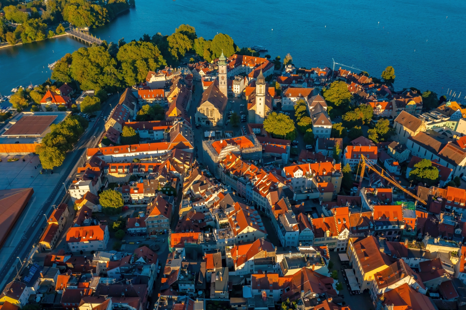
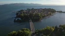
Lindau can be read by the shape of its island. The lake surrounds the densely built-up streets, while the connections to the mainland emerge as narrow lines. At the harbor, the entrance and the arrangement of the bank buildings give the panorama a front view.
The island as a city layout
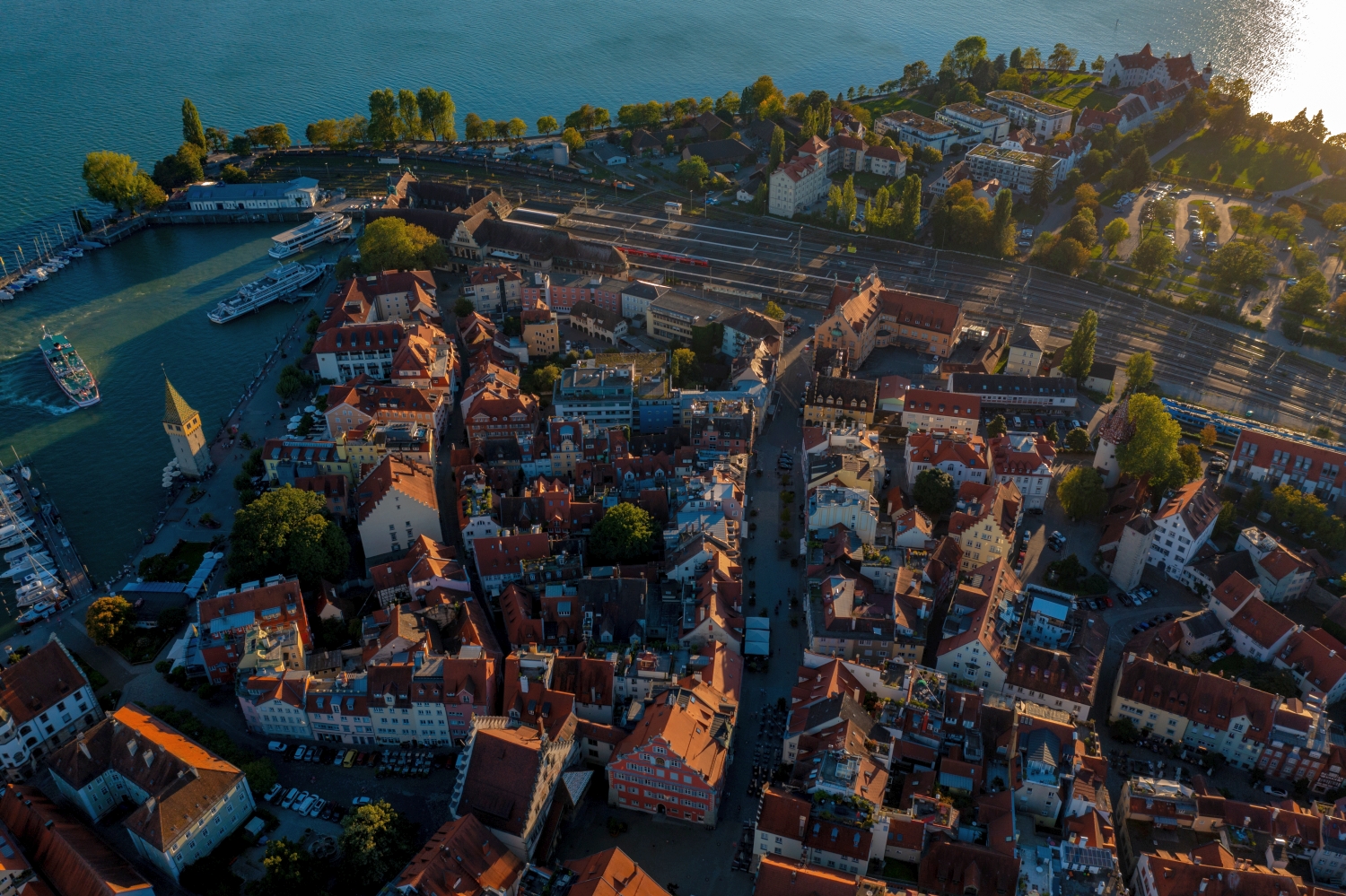
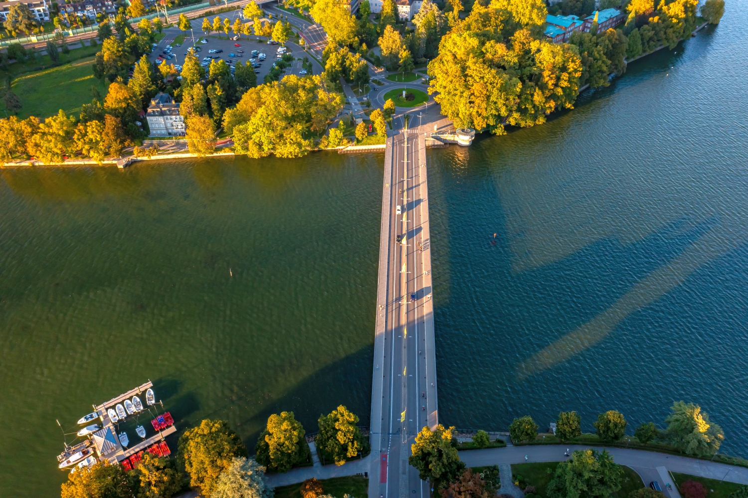
An aerial photo of Lindau with both banks tells us something about access to the island. If you only take the old town into the picture, the roof areas and the alleys at the harbor come together. Both can be connected again via the shape of the harbor entrance.
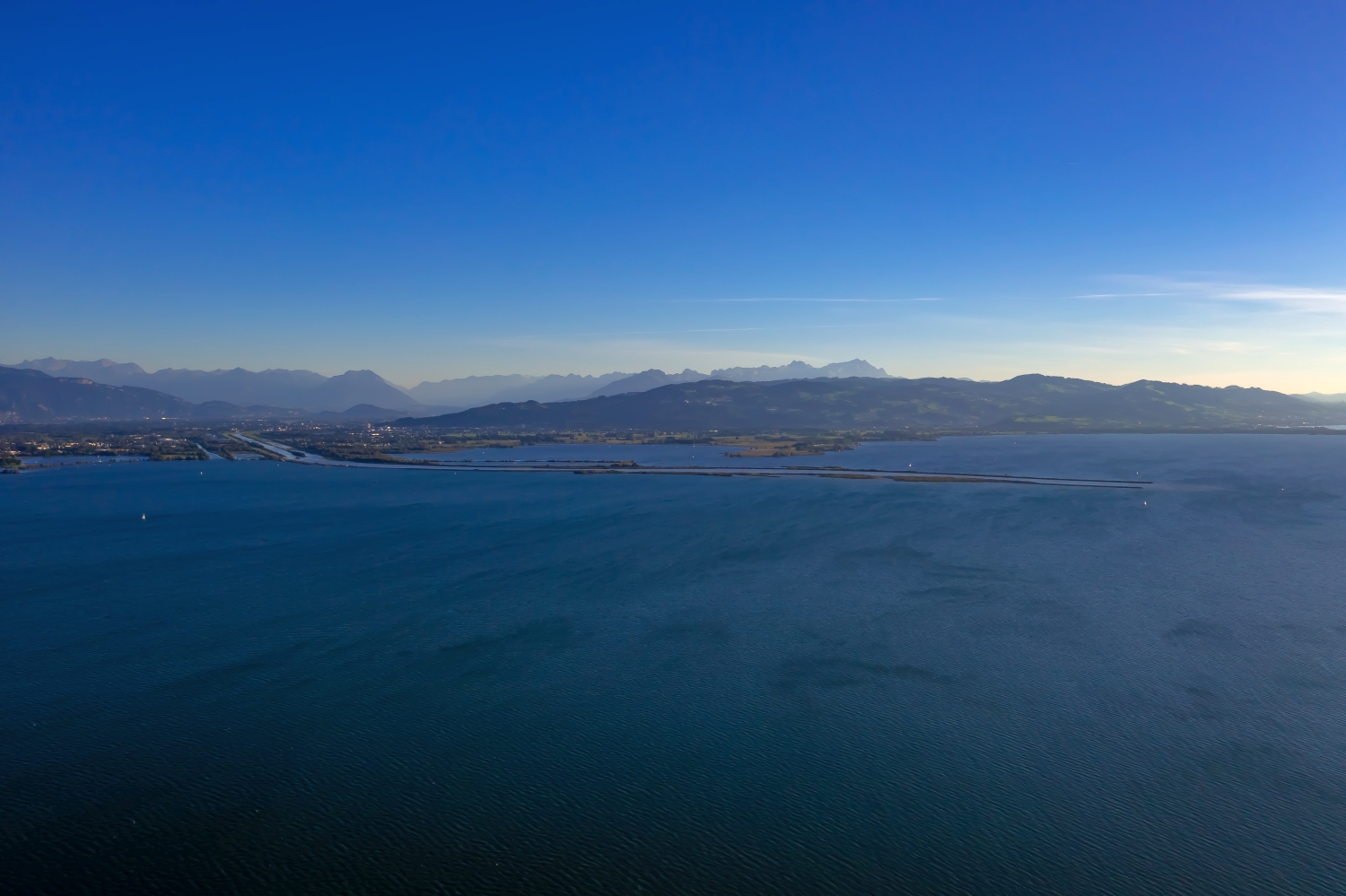
On an island, the distance from the shore determines the message of the photograph. If water is visible all around, its shape can be seen at a glance. If there is a piece of land in the picture, the situation in the larger body of water becomes understandable. Both options complement each other for a photo series. The first glance explains what belongs to the island. The second shows from which direction you approach it and which visible reference points connect the narrow piece of land with its surroundings.
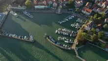
The water between the quay edges
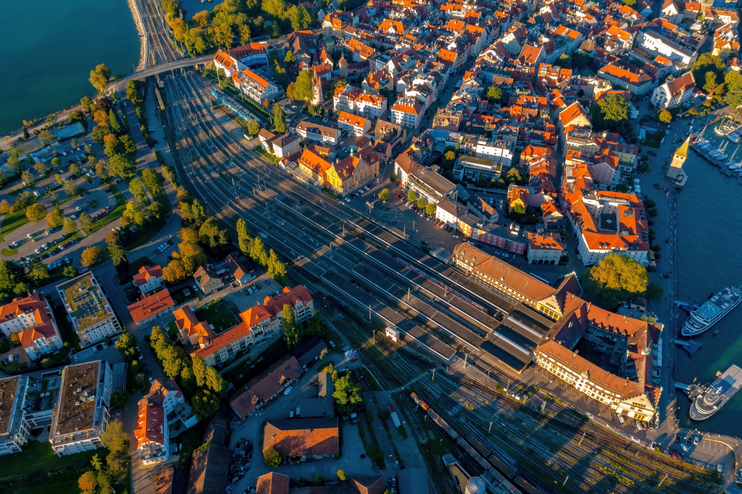
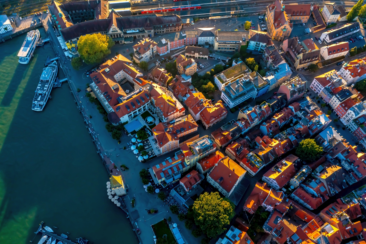
In a harbor, the individual areas are best seen from the water. A pier delimits the entrance, straight edges frame a pool, smaller footbridges divide the area. Boats and ships provide an indication of size without an exact distance being able to be derived from the image. The shape of the harbor provides an overview. A closer look at the edge of a quay, on the other hand, shows how the water directly connects to the landside paths, buildings or open spaces.
What the roofs reveal about the floor plan
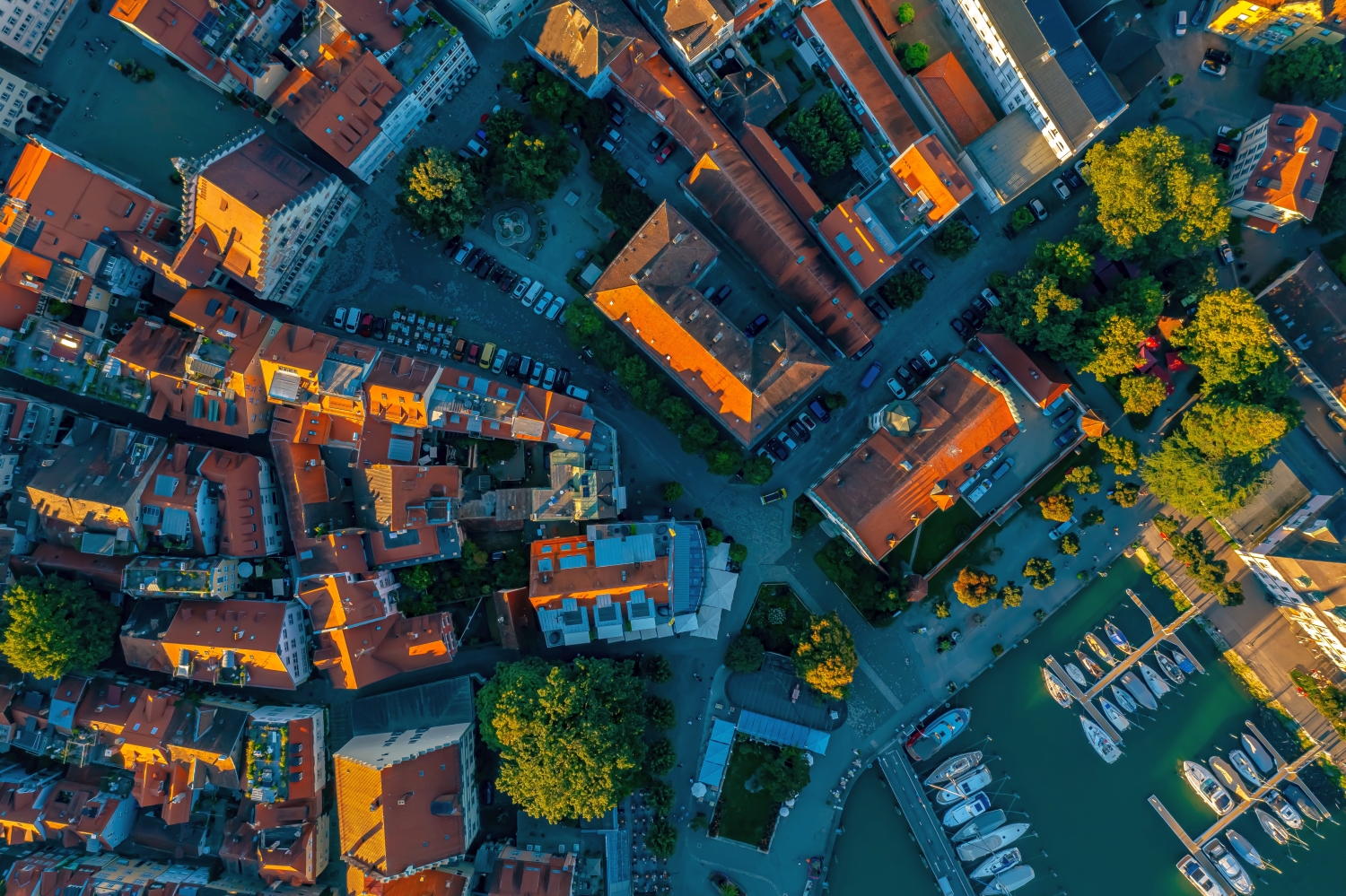
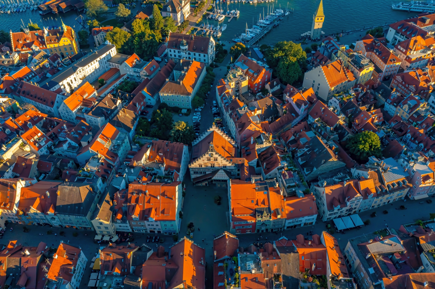
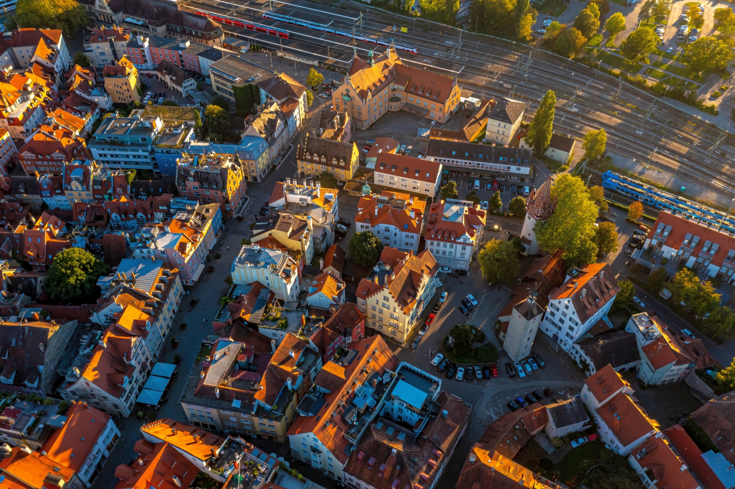
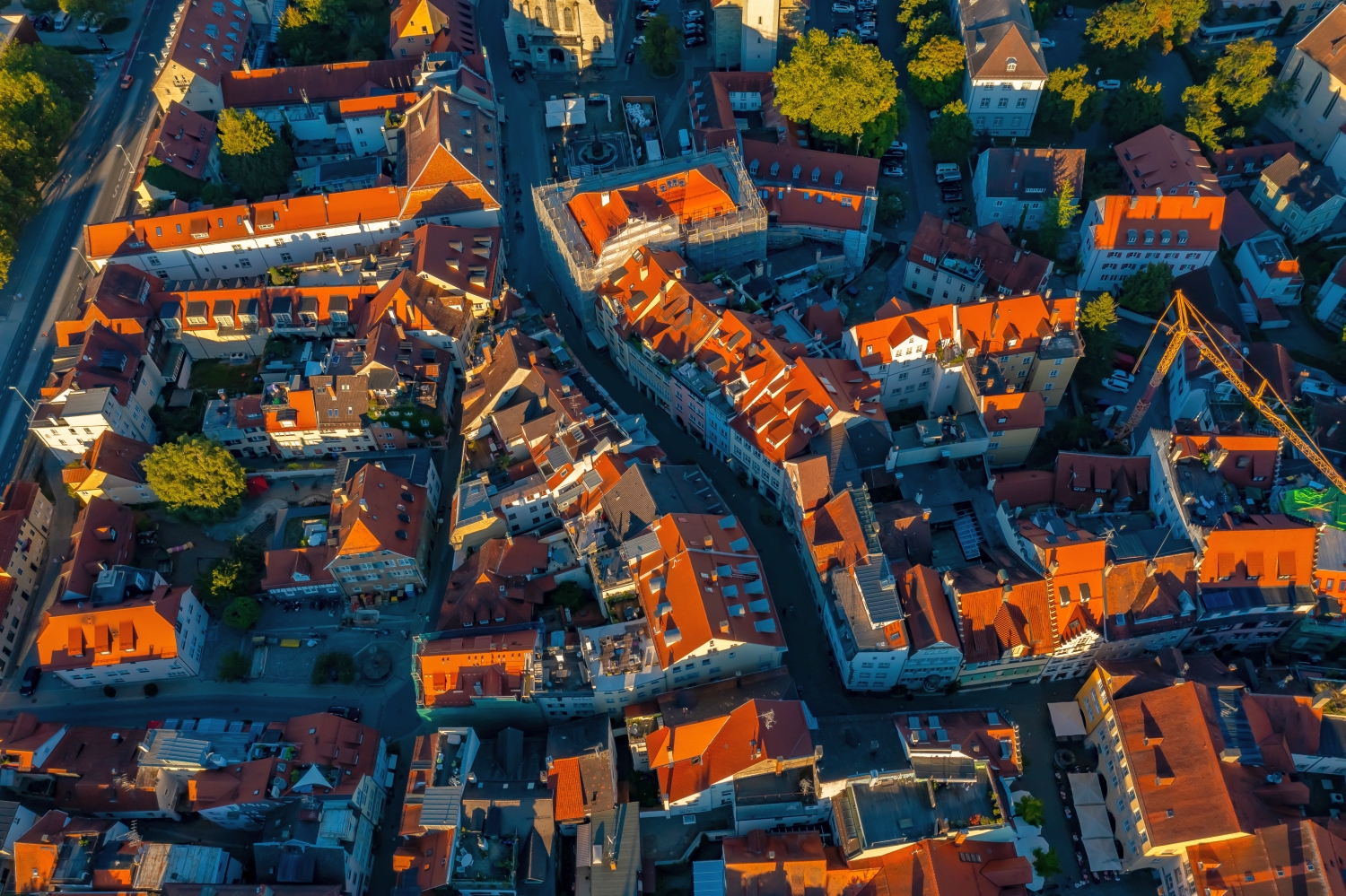
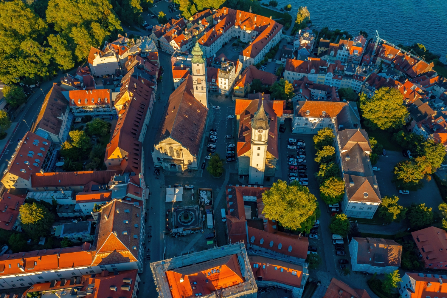
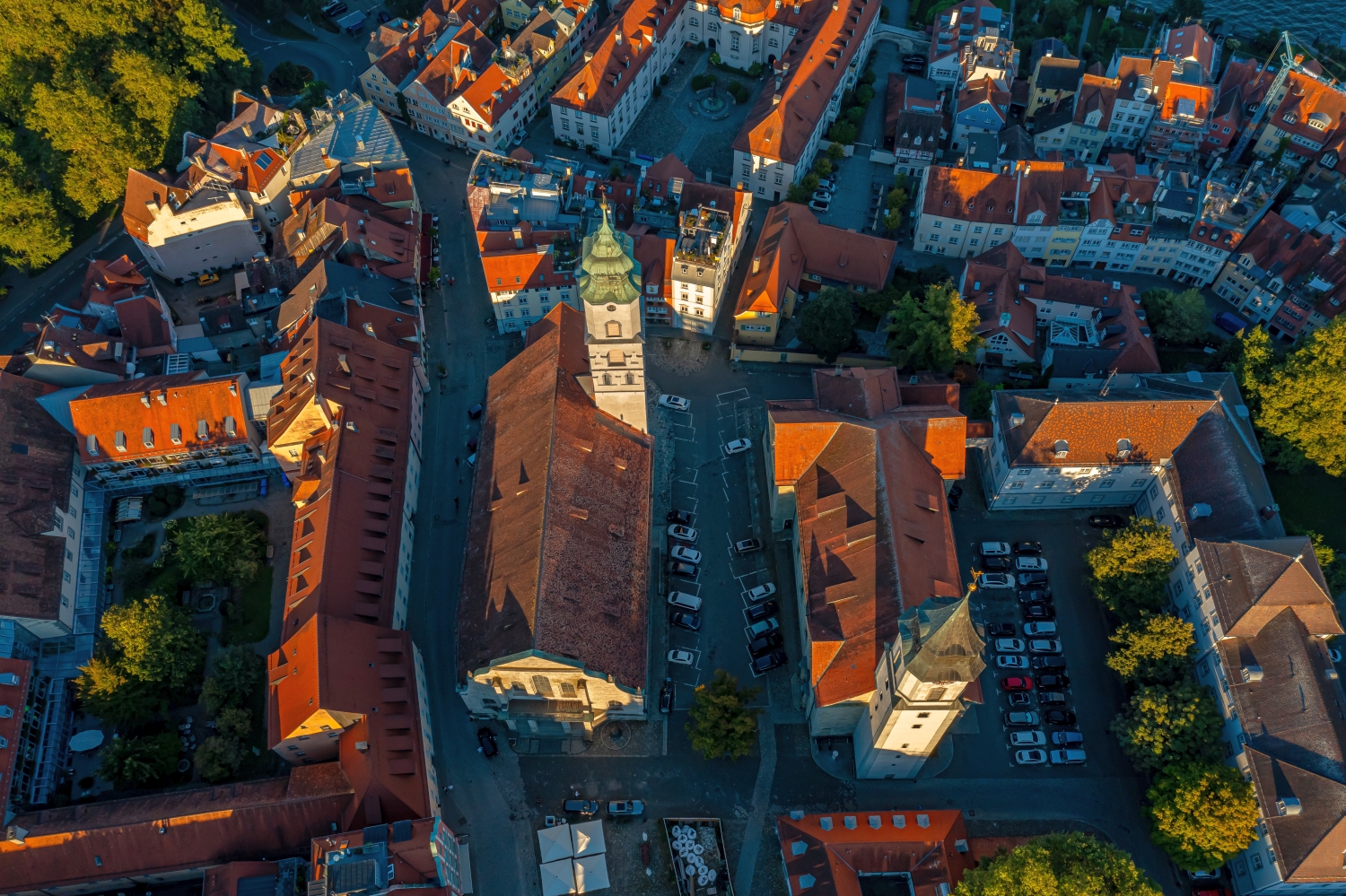
A city center can often be read by its roofs. Where narrow gables are close together, the street space is also divided into short sections. A large, connected building interrupts this sequence. In the aerial photo you can follow the direction of an alley from such an interruption. For an illustration in a smaller format, a section with just a few easily distinguishable roof groups is worthwhile. In a large print, however, the spaces and small changes in direction are allowed to keep their place.
The distribution of blue tones
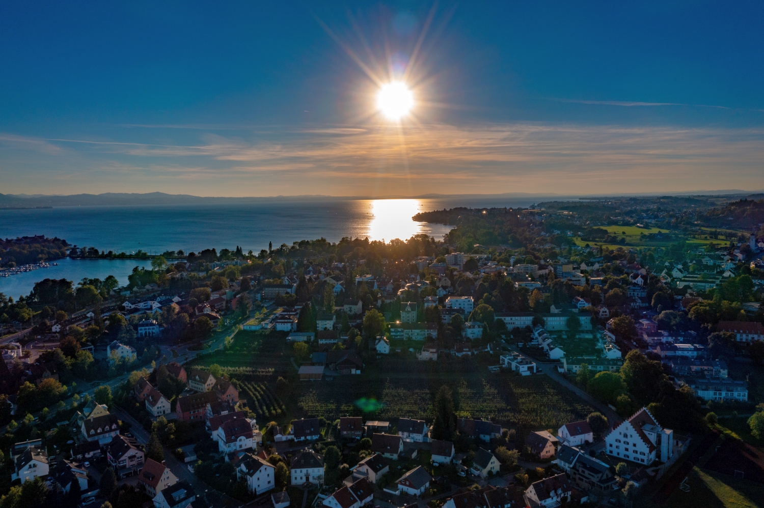
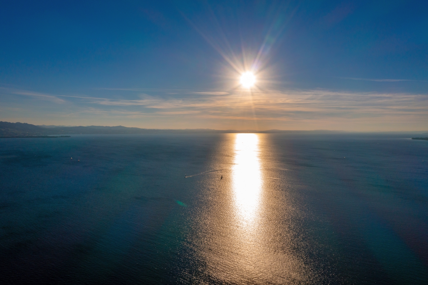
If you browse through the 41 aerial photos, you can stay at shot 38 and shot 12 for a comparison. In the first excerpt, shades of blue play a smaller role. In the second shot, blue areas take up more space. Blue can extend over a large contiguous area or only appear in individual parts. What also counts for the effect is whether these areas extend to the edge of the picture or surround the main subject.
For Shot 1 and Shot 41, the same day is noted in the image files, September 4th, 2023. The recording times recorded are approximately 16 minutes apart. The exposure time was 1/320 second for the first of the images mentioned and 1/400 second for the second.
The Aerial Videos section supplements the photos with 9 clips. The aerial photographer's photographs linked there include “Lindau from the air”. The relevant video page on Adobe Stock can be opened using the respective preview.
Select the coastal view for a photo series
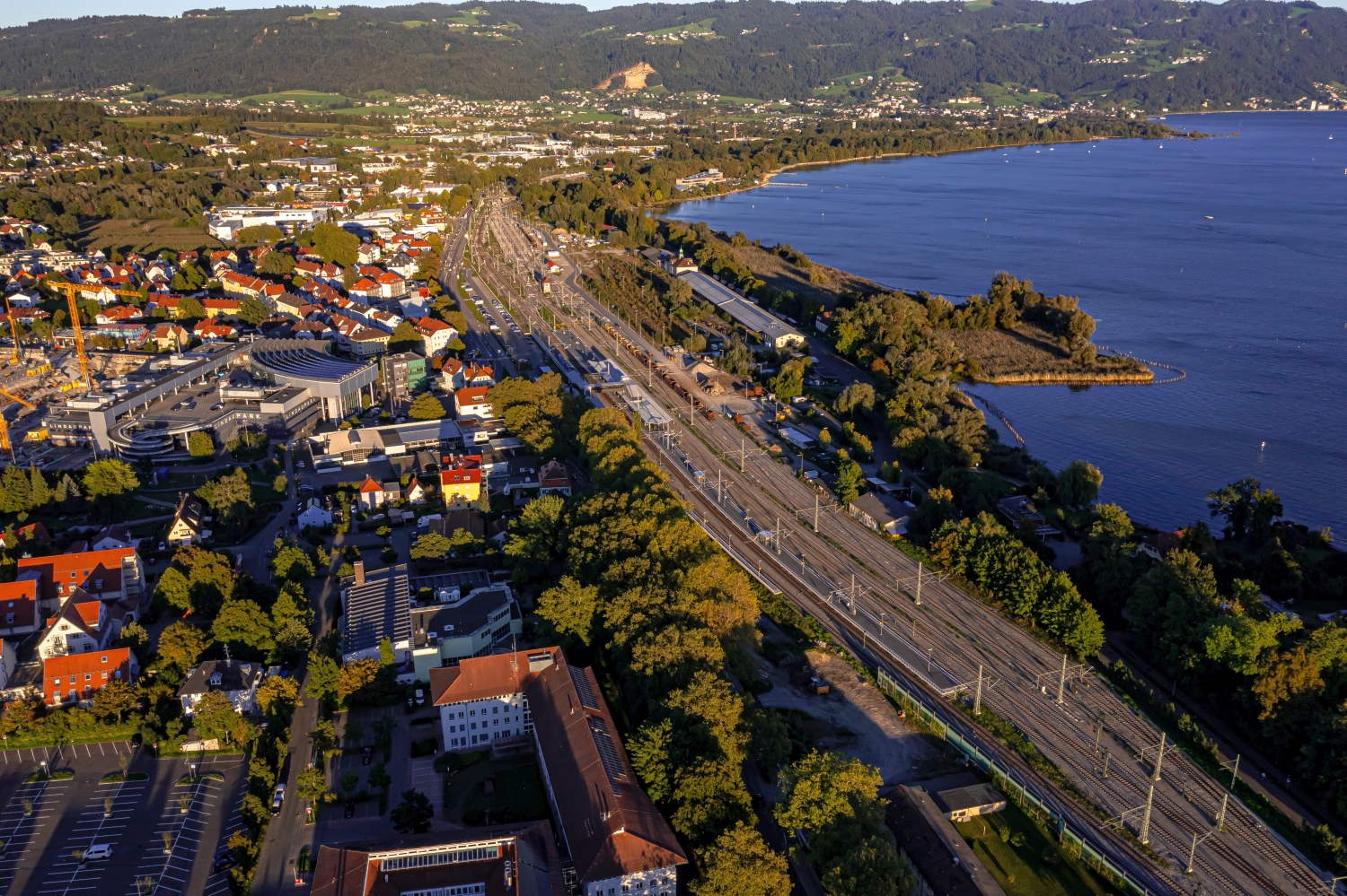
In a coastal view, water is both a motif and an open space. Whether a large piece of sea remains in the picture depends on the story. When reporting on the shoreline, it holds different landforms together. For a portrait of a coastal town, the development may need more space. An aerial photographer can take this difference into account when choosing the angle of the image. When publishing, it's worth taking a final look at the final format so that a headland or riverside path at the edge isn't accidentally cut off.
Related motifs in the aerial photo archive
If you are looking for related motifs, you can start with Italy – Lake Garda. On Lake Garda, bright rock faces rise directly above the water surface. It's worth taking a second look at Bad Zwischenahn. When looking over Bad Zwischenahn, the Zwischenahner Meer takes up a large part of the horizon.