 F4LUFTBILDER
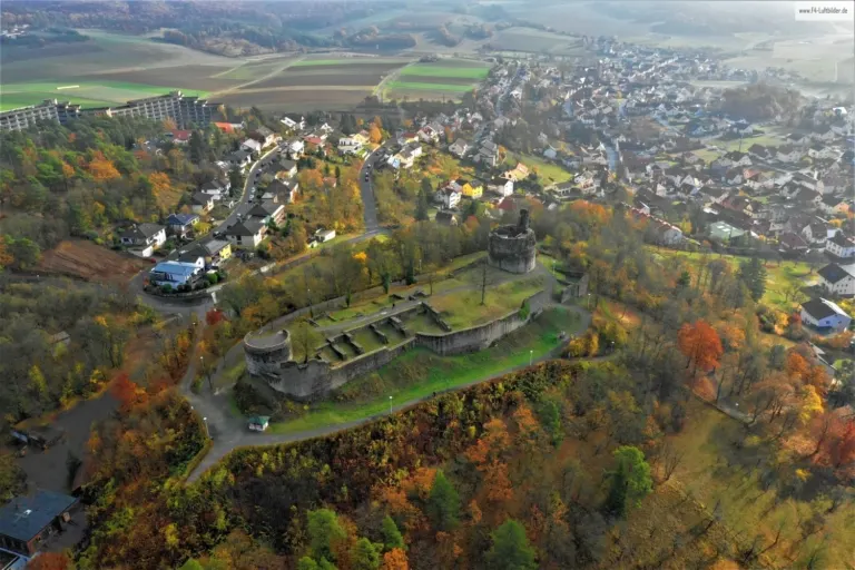
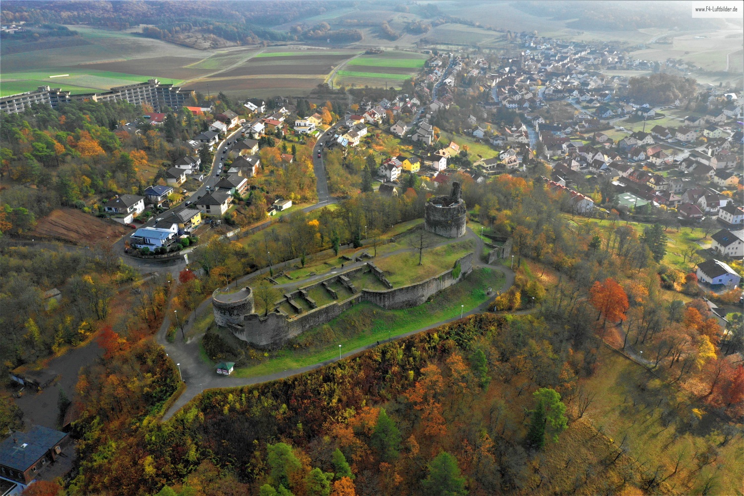
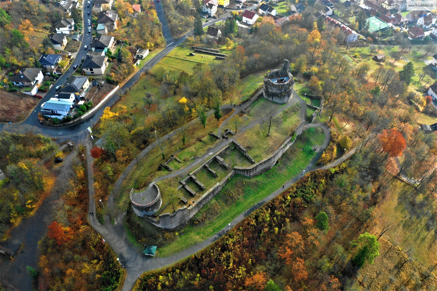
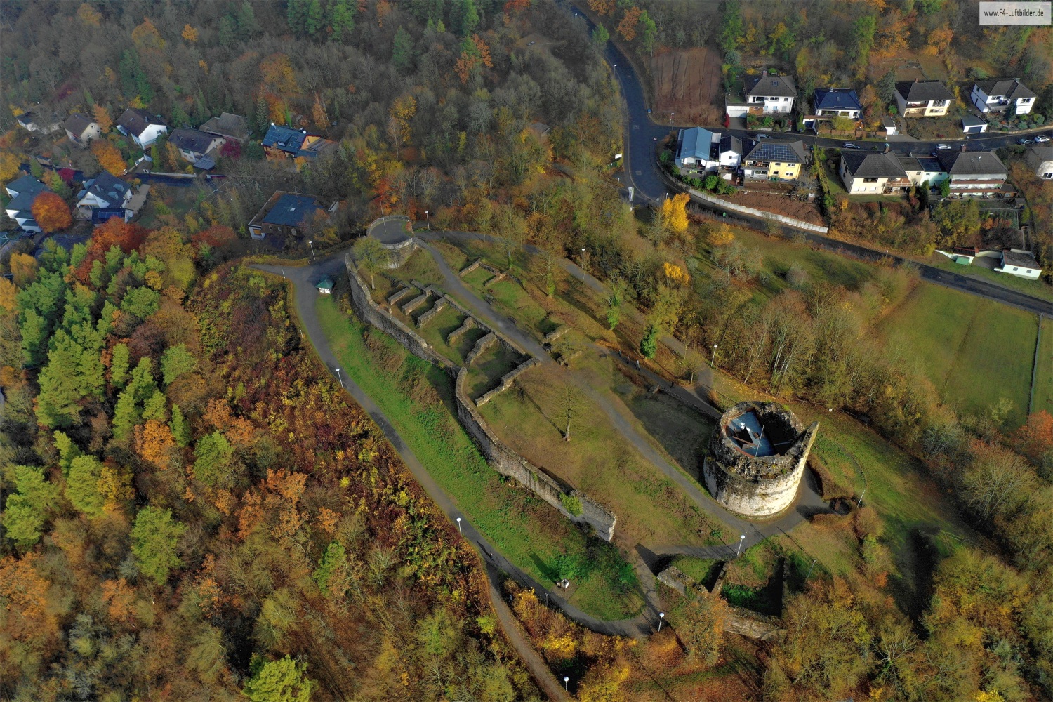
Botenlauben Castle above Bad Kissingen
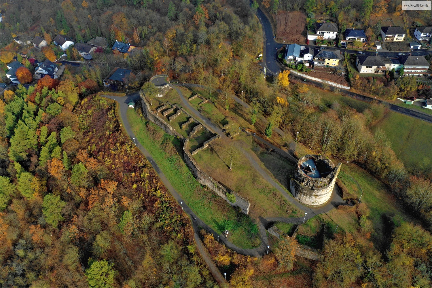
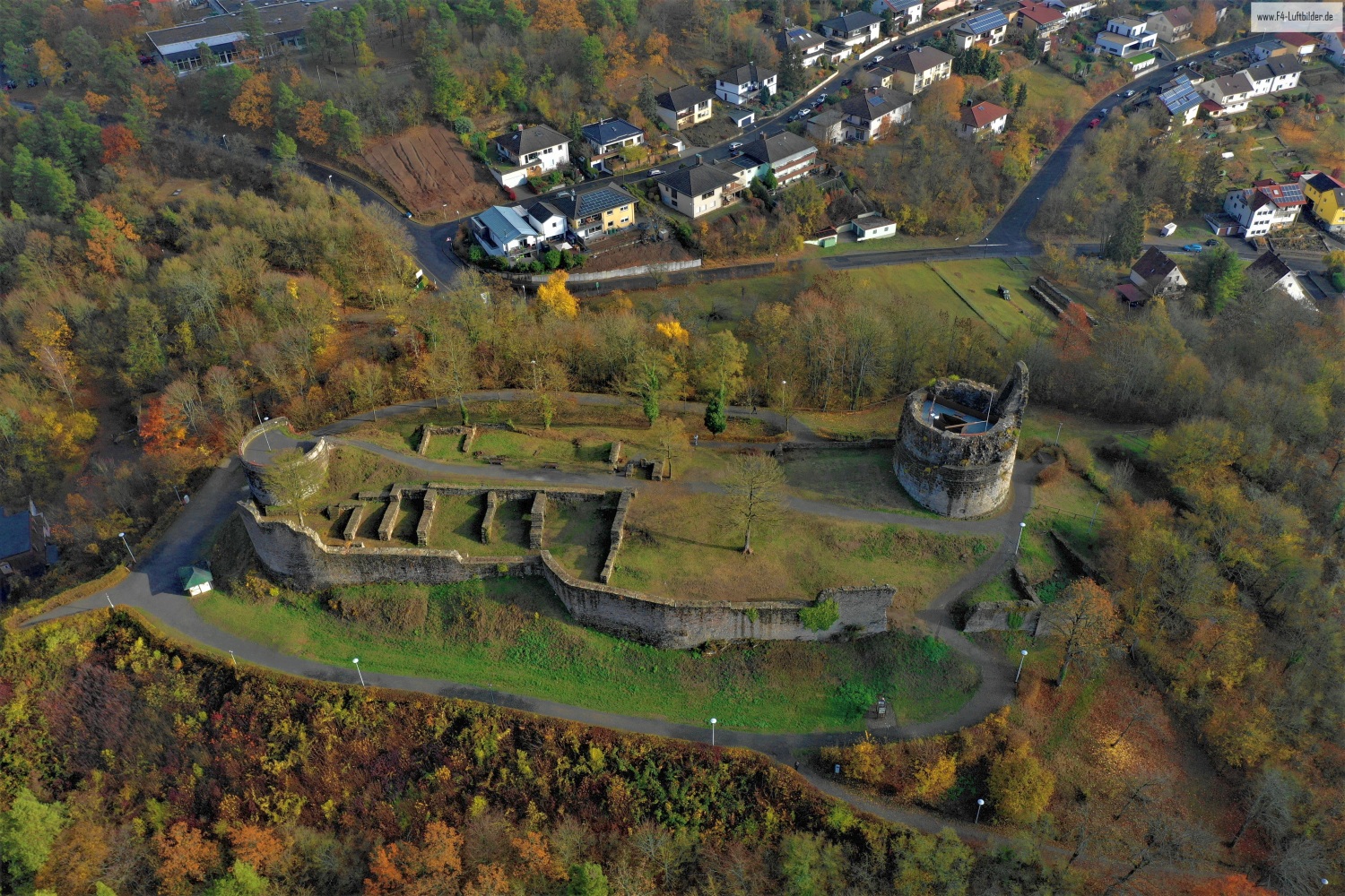
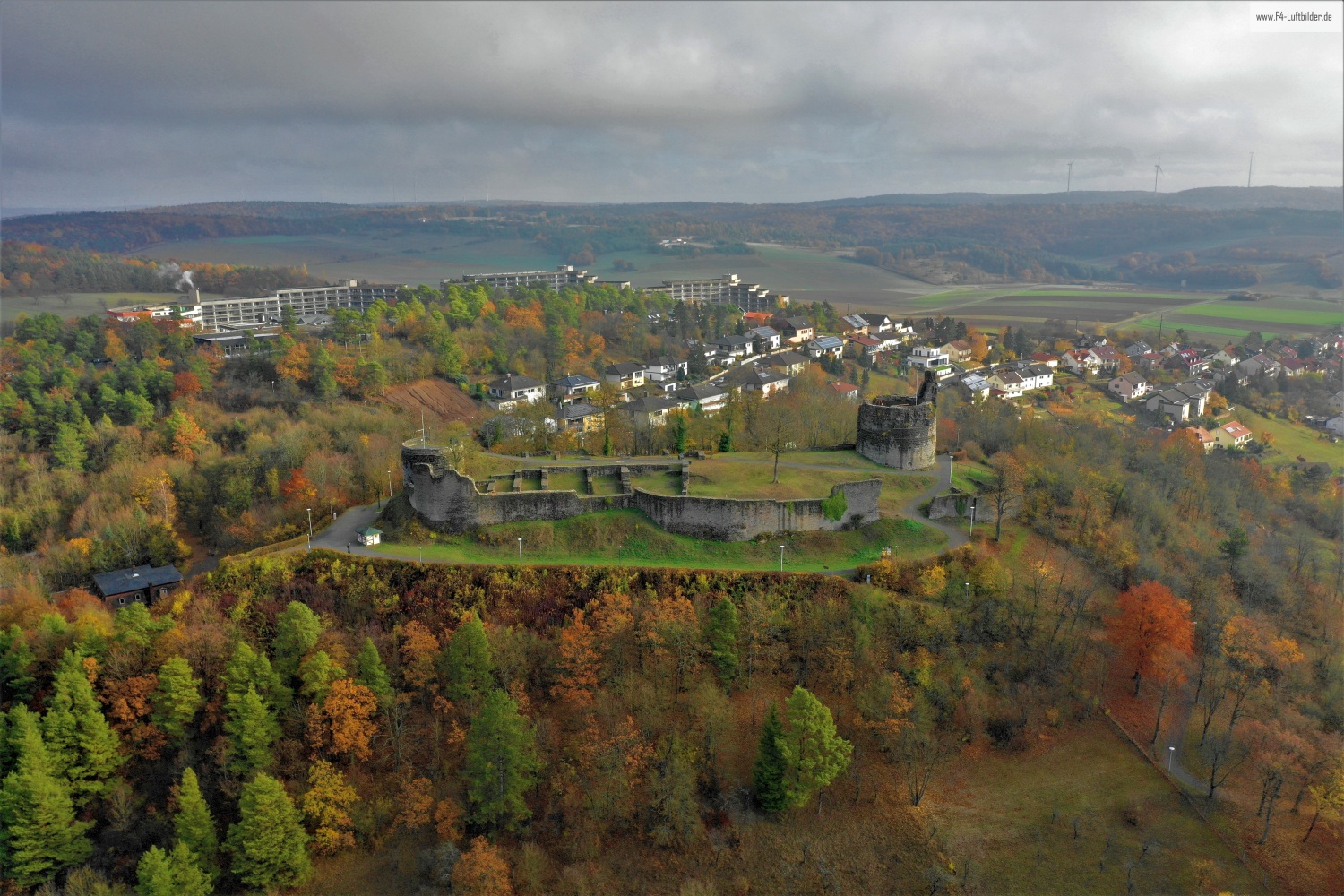
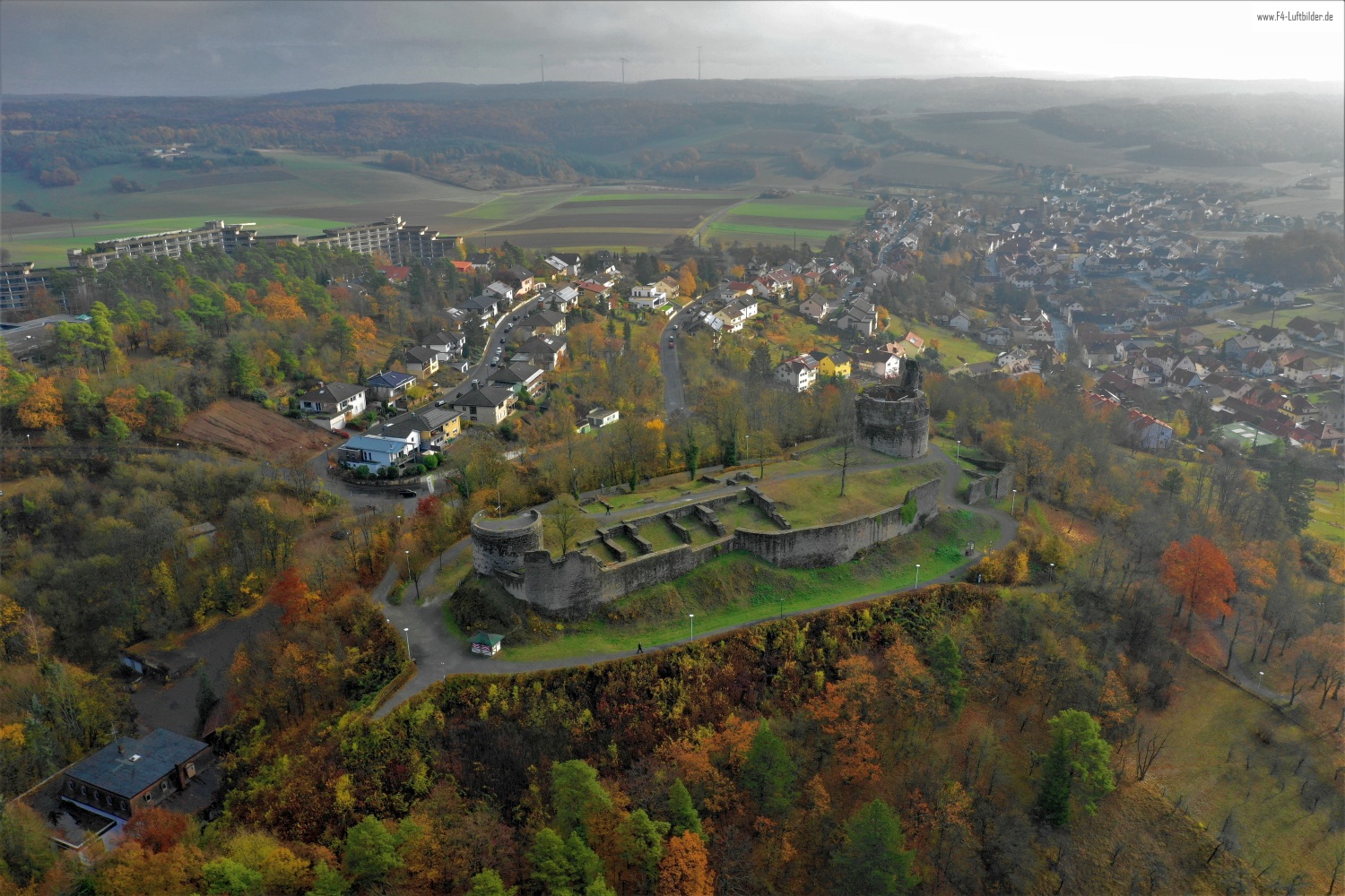
The preserved walls of Botenlauben Castle make the hill appear from above like a building floor plan. The valley of Bad Kissingen opens up behind the wooded slope. In the overview, the two towers combine to form a complex, the extent of which is difficult to estimate on the ground.
The castle between treetops
At the Botenlauben it is worth looking at the space between the towers. Only the distance between the two makes it clear how much area the castle takes up on the ridge.
A ruin is visible from above in places where walls change direction or merge into open interior spaces. There you can follow the floor plan, even if only individual sections have been preserved. Growth and shadows are part of the visible situation. A careful description of the image names the recognizable parts without reconstructing missing buildings from their outline alone. In comparison with a closer picture, it also becomes clear where the large lines of the overview consist of several individual pieces of wall.
What the treetops reveal
A forest changes the view of every structure and every path that lies on its edge. From one side the treetops cover the lower area, from another a small gap opens. Photos in which the boundary between open space and vegetation can be clearly seen are particularly interesting. They explain which parts of a motif are visible. In a description, it is possible to distinguish precisely between the section depicted and the terrain hidden by the foliage.
Recognize the shape of the valley area
The location in a valley is made clear in the aerial photo by the lateral boundaries. A nearby slope pushes forward in front of a distant one, and the valley floor opens up in between. If the section is too narrow, it can easily give the impression of a flat surface. A shot with a bit of a slope at the edge of the image preserves the context. Orientation is particularly successful when there is also a familiar size comparison, such as a street or a house. The eye can then better assess the depth between the individual landscape levels.
Warm tones within the series
If you browse through the 7 aerial photos, you can stay at shot 7 and shot 4 for a comparison. In the second view, warm reds and browns have more weight than in the first. Red-brown and yellowish areas are particularly noticeable next to cooler surfaces. What is interesting when comparing is whether they are concentrated on a single object or appear spread out across the entire view.
For Shot 7 and Shot 4 the same day is noted in the image files, November 11, 2018. The recording times recorded are about a minute apart. ISO 100 and an exposure time of 1/320 second are recorded for both files.
Communicate architecture and location together
Anyone who has visited a building themselves often remembers the entrance and the first view upwards. In the aerial photograph, these exact areas can disappear behind a roof or a wall. A suitable caption helps to connect the tour experienced with the spatial overview. For an aerial photographer, planned use is therefore a good starting point. A view for a site plan needs clear outer edges. An image for the cover page may focus more on the interaction between the building and its surroundings.
Related motifs in the aerial photo archive
If you are looking for related motifs, you can start with Ebersburg Castle Ruins. From a distance, the Ebersburg is almost hidden in the autumn forest. It's worth taking a second look at Wernarz. Wernarz lies in a green valley near Bad Brückenau.