 F4LUFTBILDER
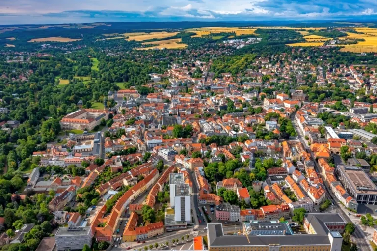
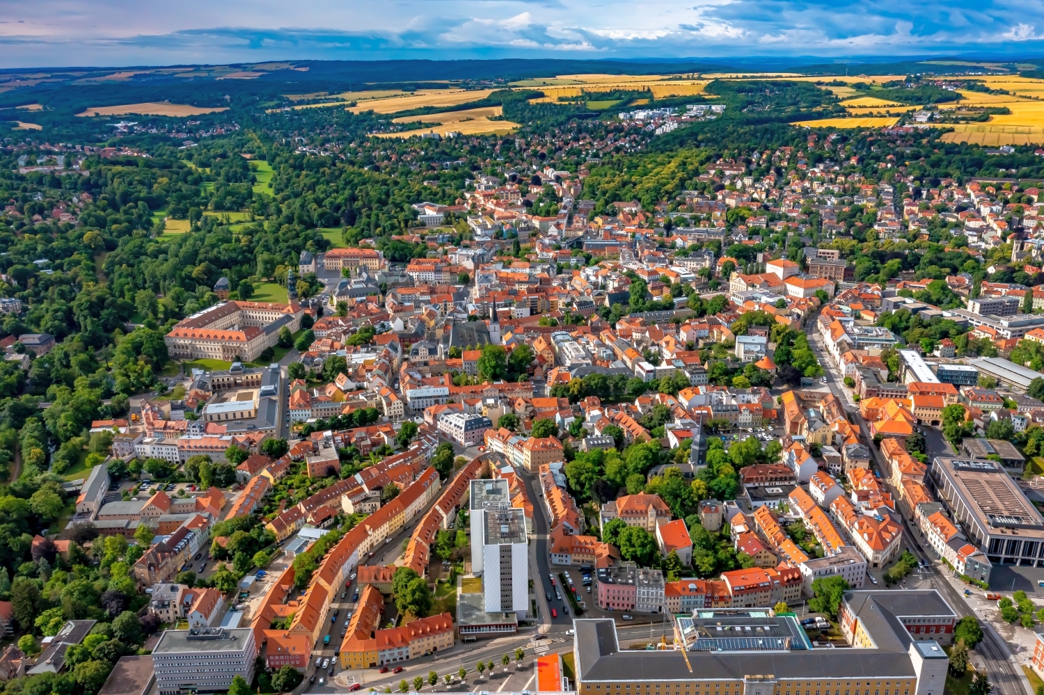
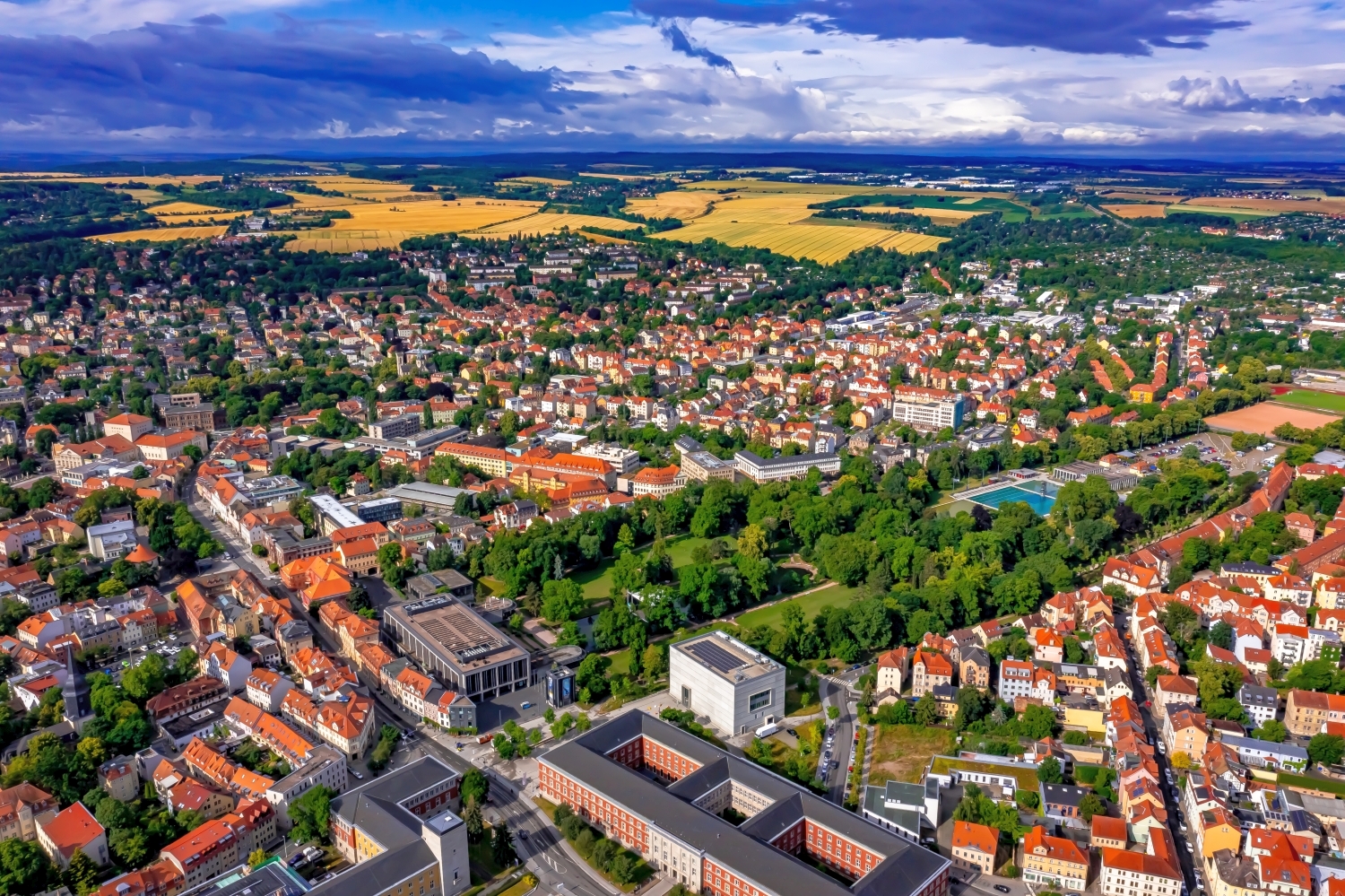
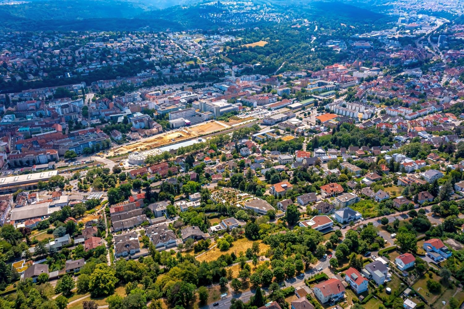
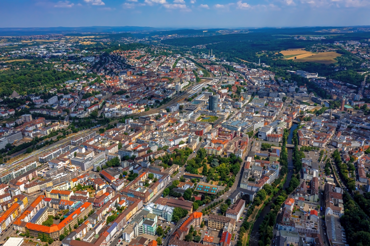
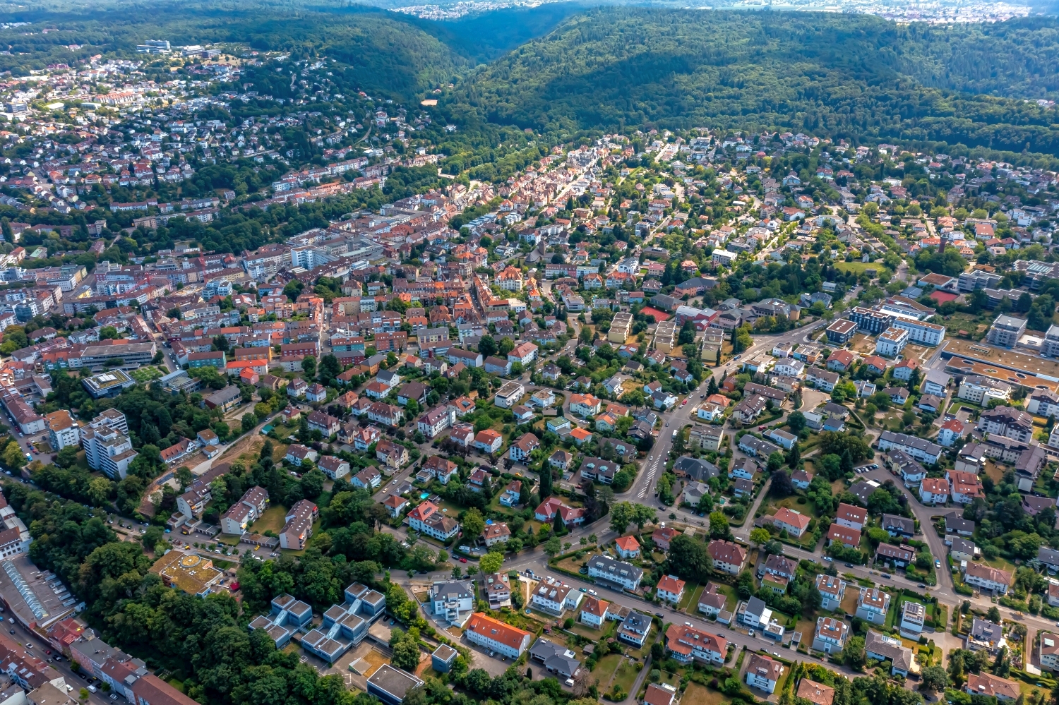
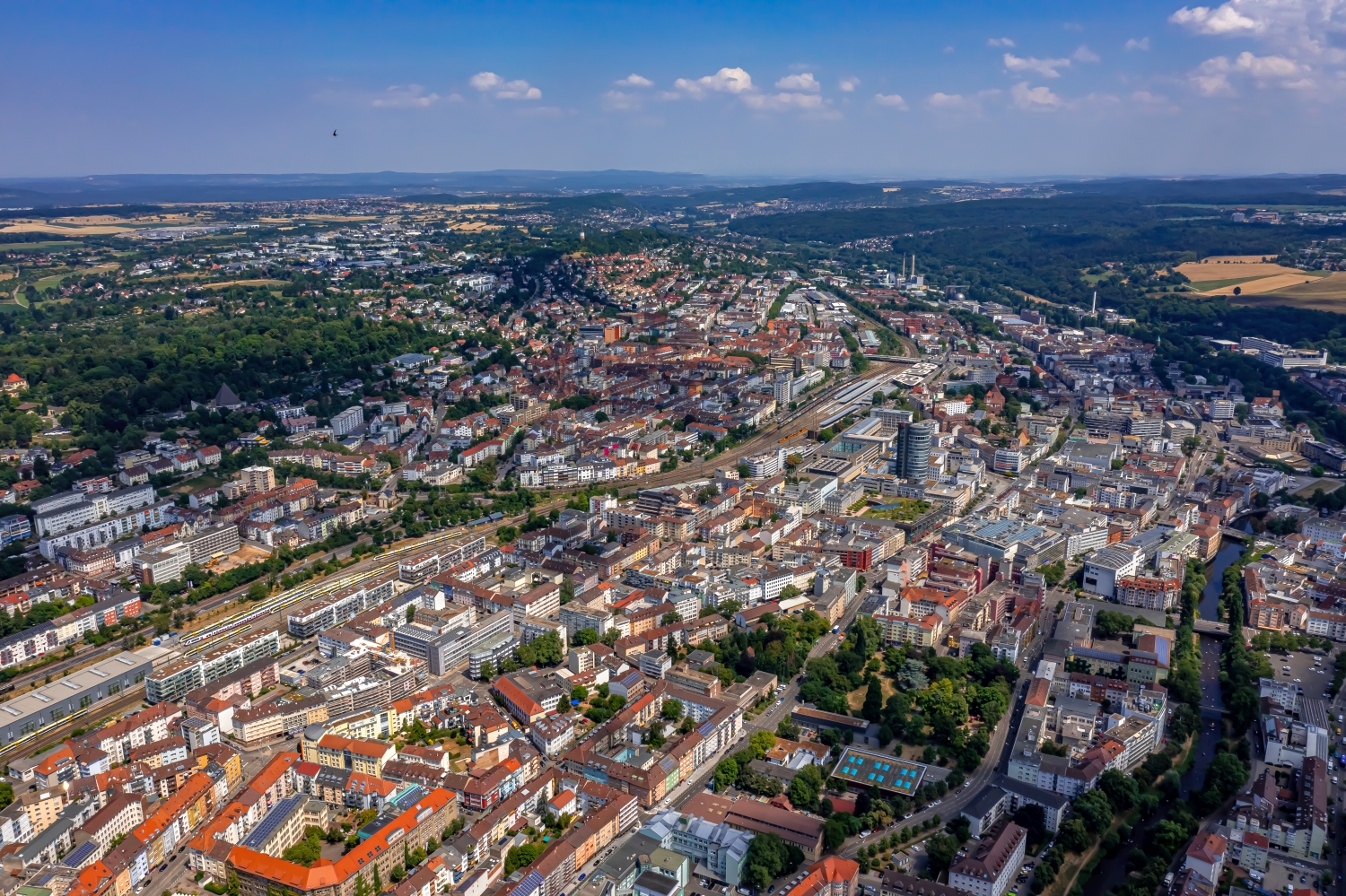
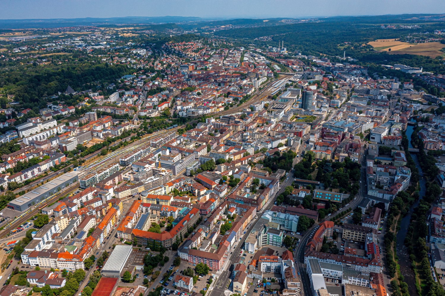
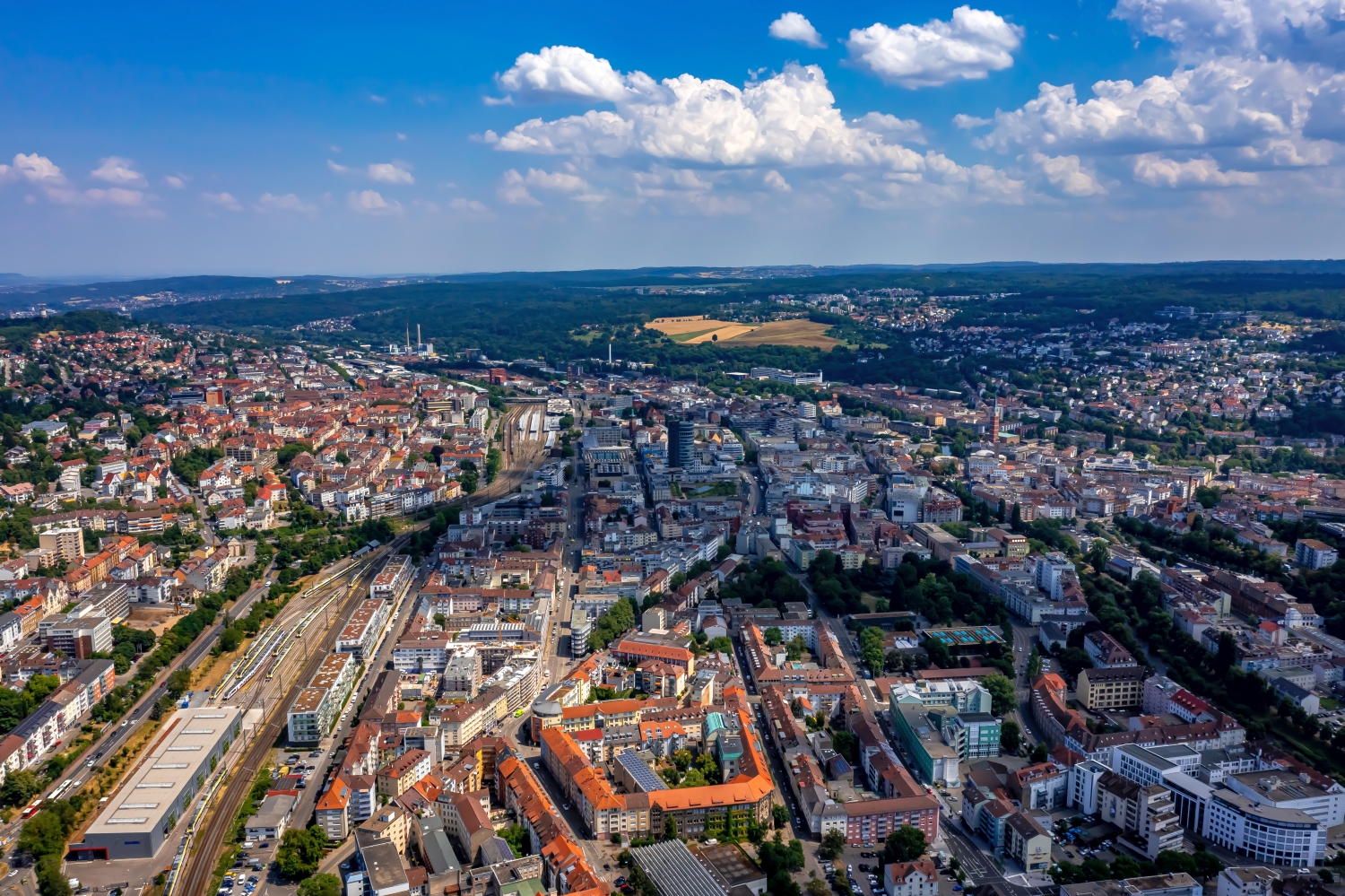
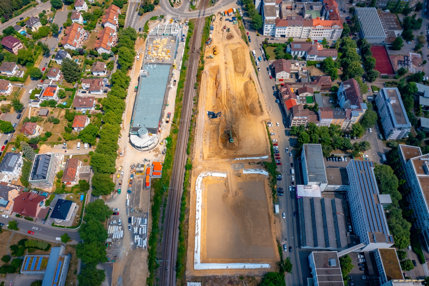
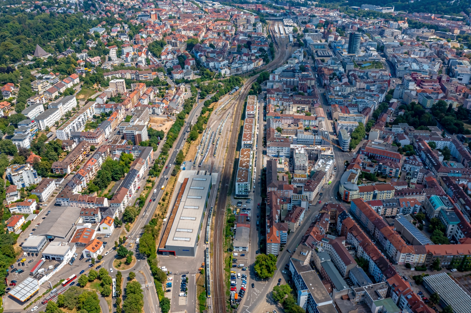

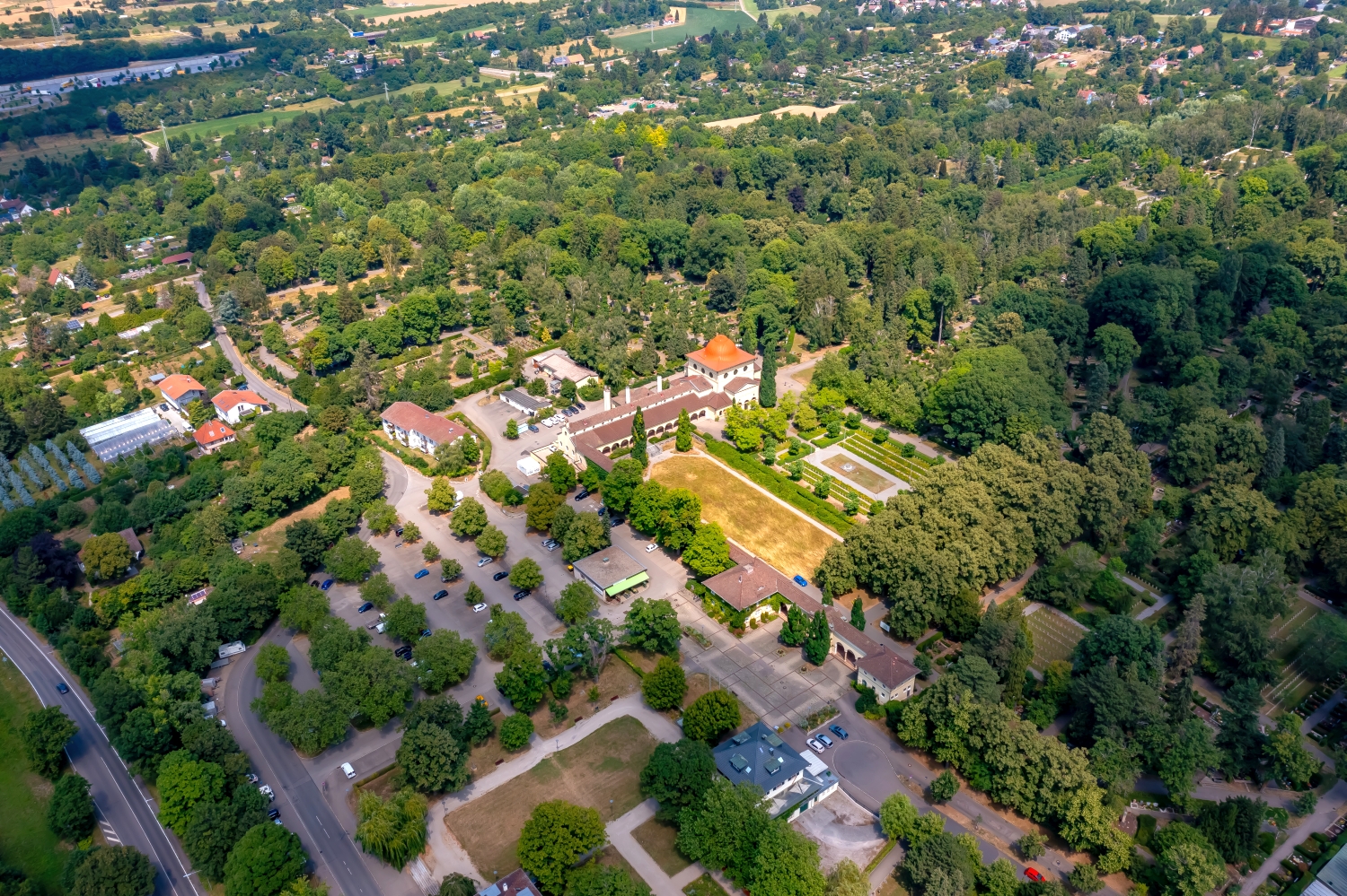
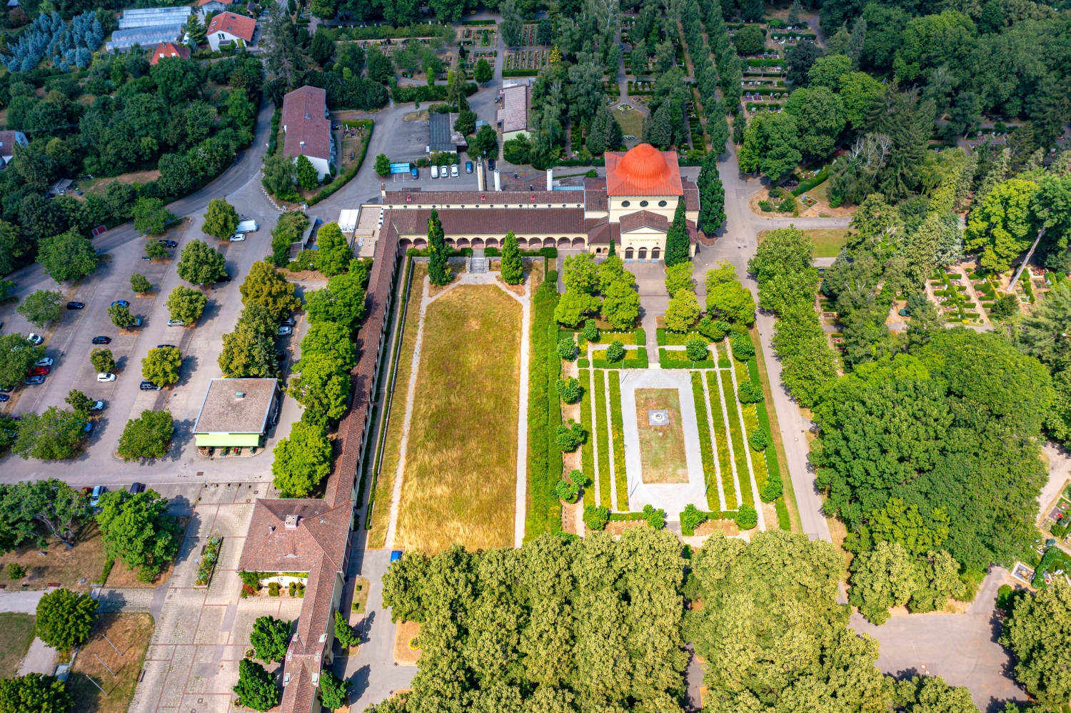
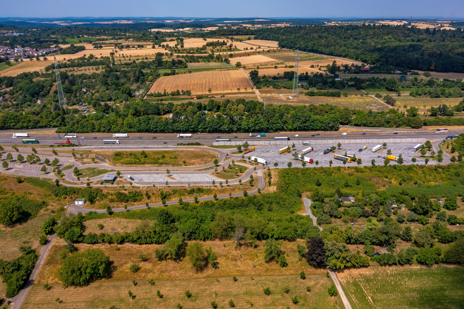
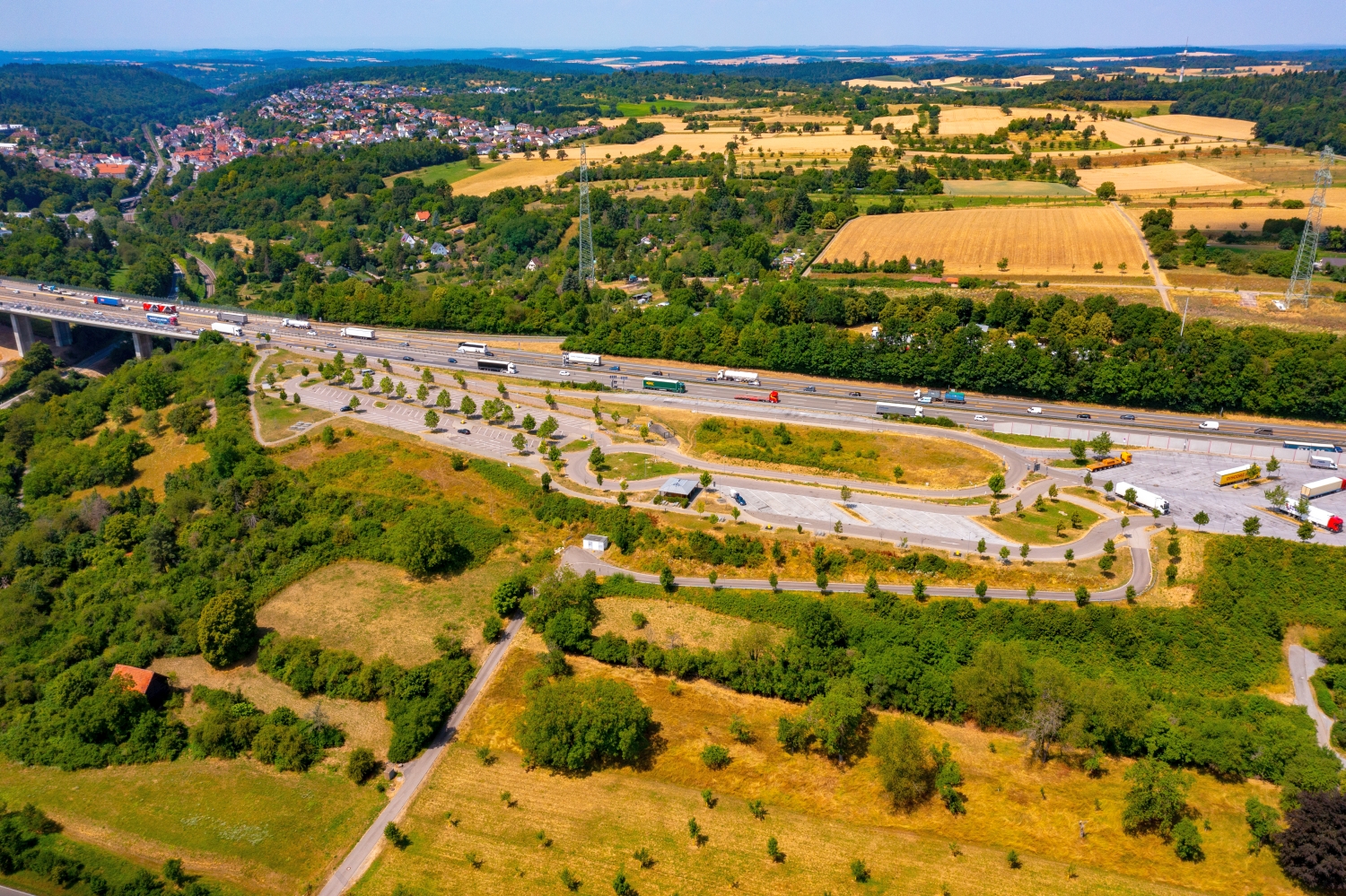
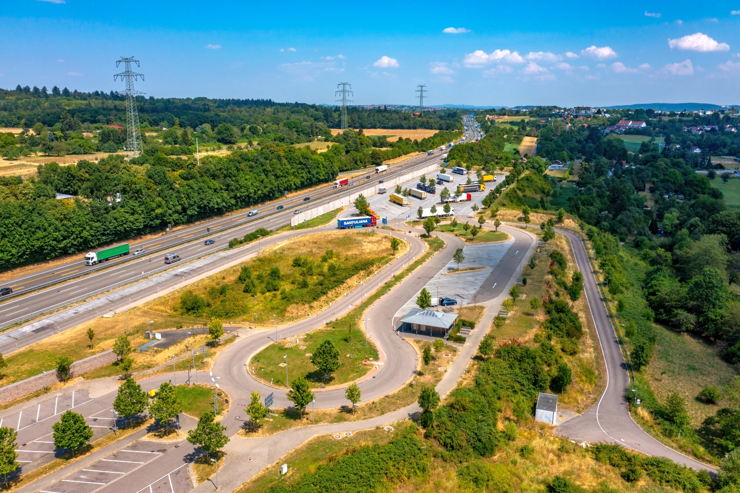
Pforzheim between the bank and the buildings
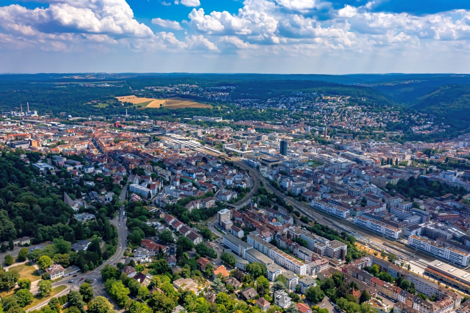
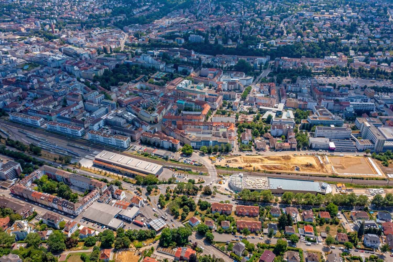
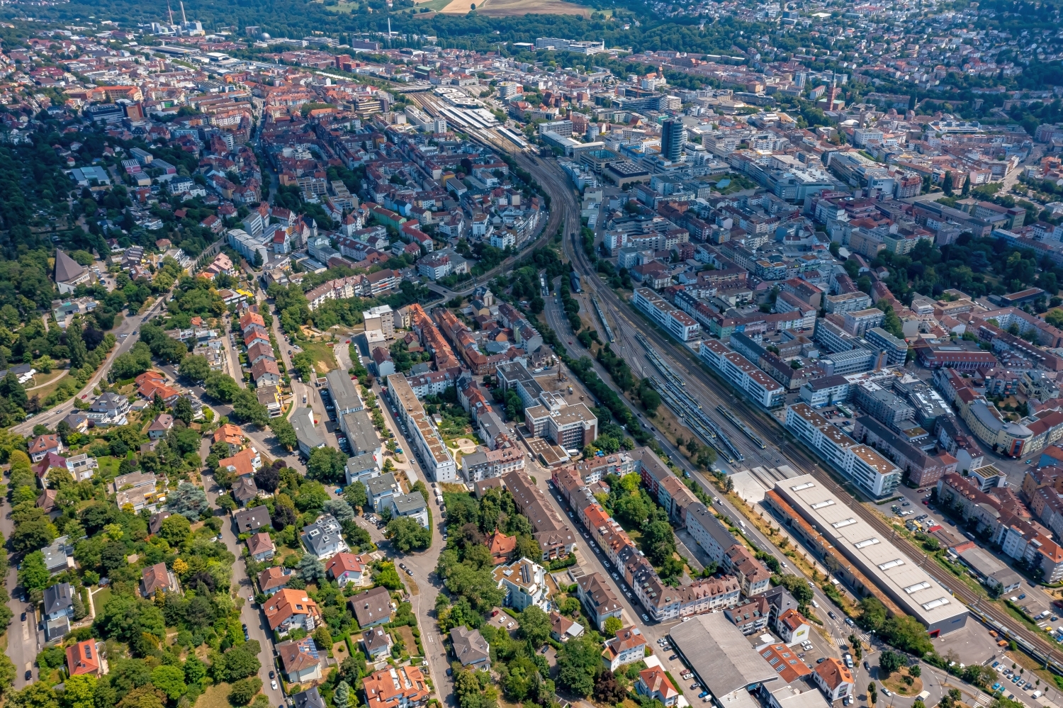
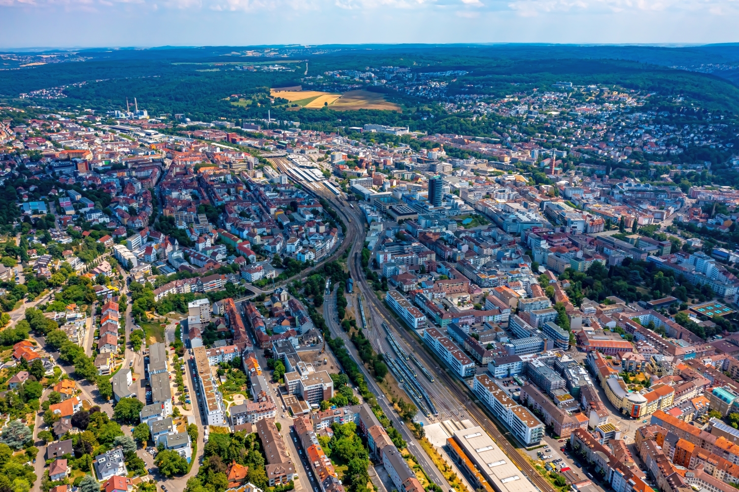
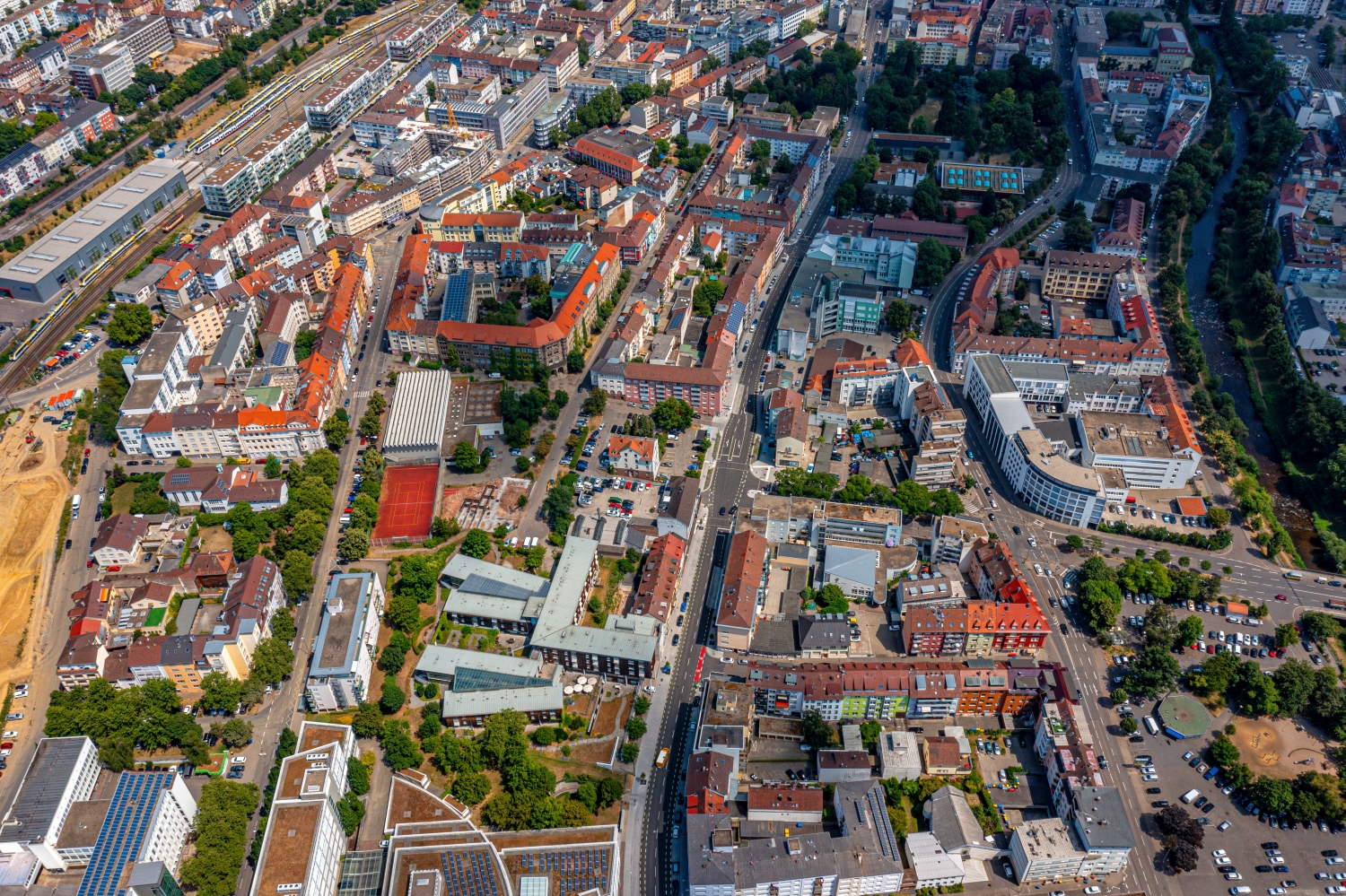
A watercourse cuts through Pforzheim as a wide band. Rows of houses move closer to the shore in sections, while green spaces open up elsewhere. The higher, wooded edges of the city give the views a second, softer boundary.
The river in the sea of houses
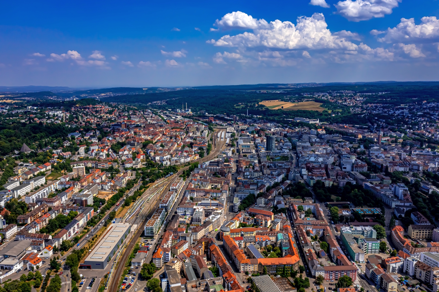
The shoreline through Pforzheim remains legible even where buildings closely accompany it. In the wide perspective, a second edge is added, namely the border of the city to the forested heights. These two lines give a city portrait a comprehensible structure.
A river changes its role with the direction of view. Across the water you can clearly see how close the development is to the bank. A view along the run connects several sections that appear separate from the street. A particularly vivid image is one in which there is a prominent bank in the foreground and a second reference point further back. The eye can then follow the distance between them itself. A picture caption is achieved by indicating which side of the river the main motif is on.
What the roofs reveal about the floor plan
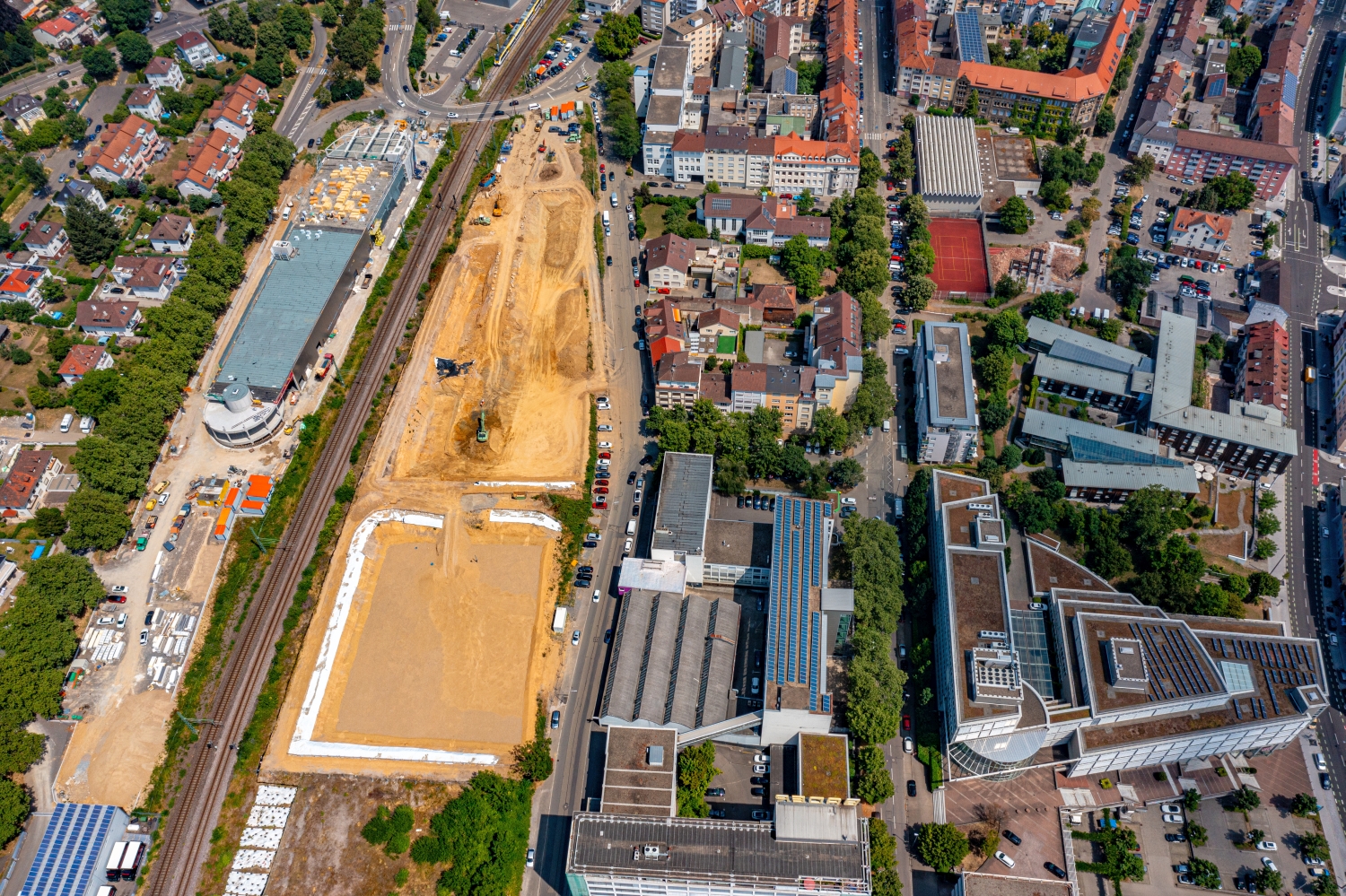
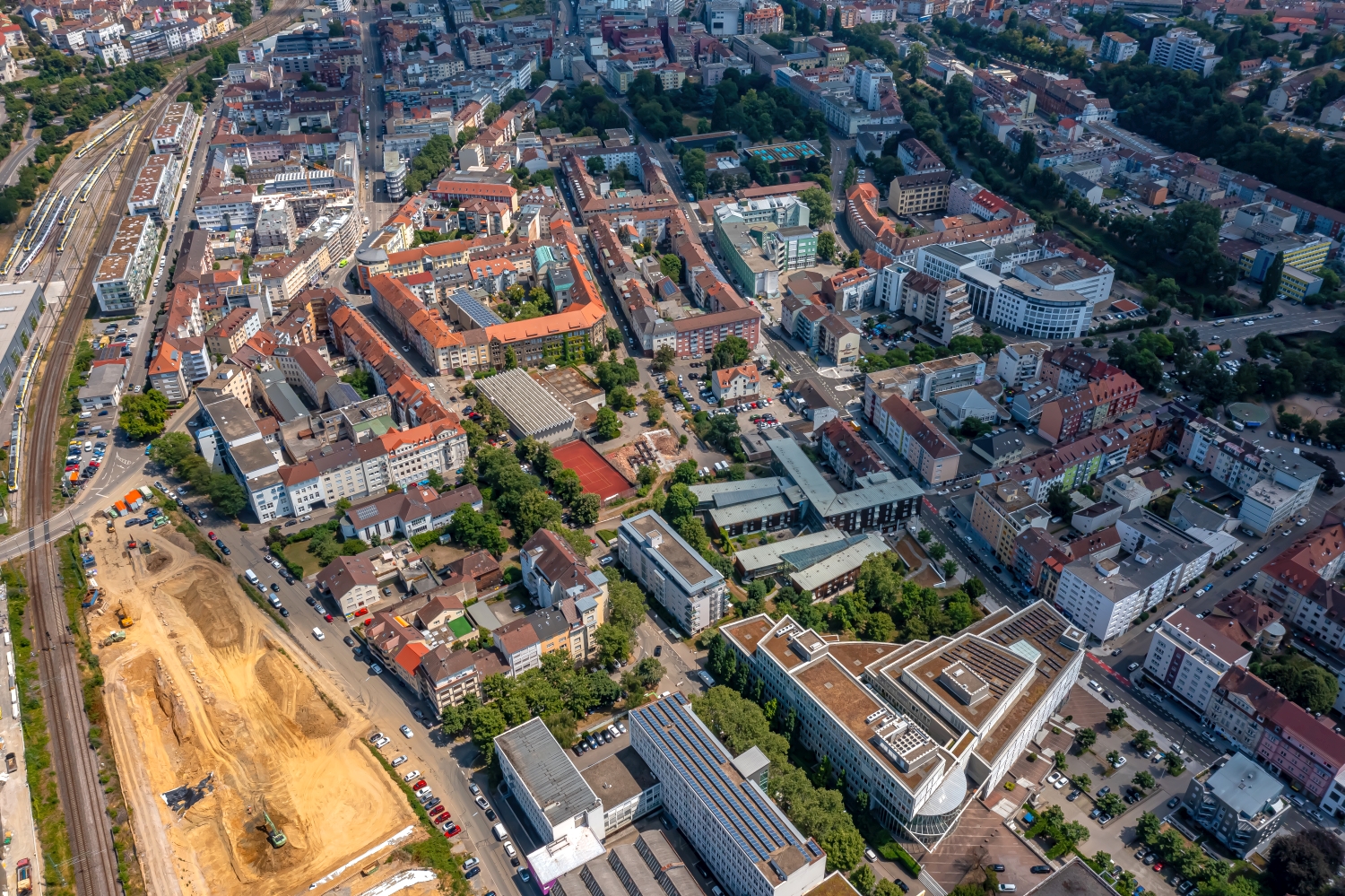
If you look at it at an angle, the houses not only show their roofs, but also their facades of different widths. This gives the motif more depth than in the pure top view. Even the change from a low neighboring building to a taller building reveals something about the gradation of the place. Such a view is particularly useful for a local chronicle if the caption indicates the starting point of the view. Readers can then follow the rows of houses themselves to the edge of the picture.
Recognize the shape of the valley area
The location in a valley is made clear in the aerial photo by the lateral boundaries. A nearby slope pushes forward in front of a distant one, and the valley floor opens up in between. If the section is too narrow, it can easily give the impression of a flat surface. A shot with a bit of a slope at the edge of the image preserves the context. Orientation is particularly successful when there is also a familiar size comparison, such as a street or a house. The eye can then better assess the depth between the individual landscape levels.
The distribution of blue tones
If you browse through the 24 aerial photos, you can stay at shot 20 and shot 4 for a comparison. In the first excerpt, shades of blue play a smaller role. In the second shot, blue areas take up more space. Blue can extend over a large contiguous area or only appear in individual parts. What also counts for the effect is whether these areas extend to the edge of the picture or surround the main subject.
The camera data for shot 1 is July 5th, 2023, and that for shot 24 is July 11th, 2023. When making a comparison, the time distance should therefore be taken into account in addition to the chosen viewing angle. The dating belongs to the individual photo. The exposure time was 1/640 second for the first of the images mentioned and 1/500 second for the second.
Explain the course of the river in the picture
An image path along a body of water can follow the direction of flow. In order for readers to understand the transition between the local views, they need a recognizable reference point for each section. This can be a crossing or a significant bend. Whether water can still be seen on the left or right of the finished print also depends on the page format. It is therefore worthwhile for the aerial photographer to know whether a wide double page or a narrow single image is intended. A cut-off bend in the river can significantly change the view of the town.
Related motifs in the aerial photo archive
If you are looking for related motifs, you can start with Riedlingen. In Riedlingen, the red roofs of the old town are close to the water. It's worth taking a second look at Munderkingen. The Danube forms a pronounced curve around the buildings near Munderkingen.