 F4LUFTBILDER
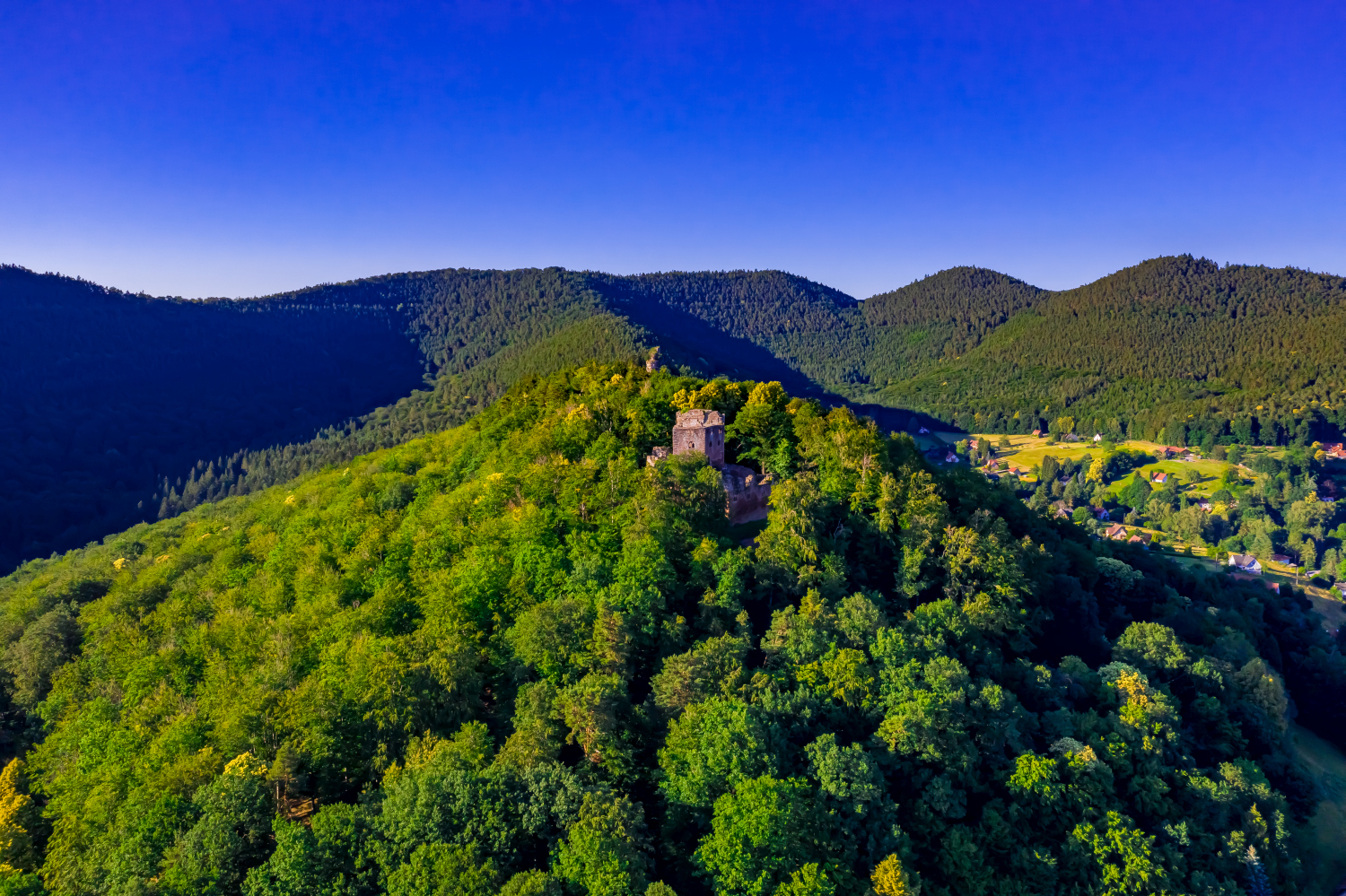

Neuwindstein Castle in the forest
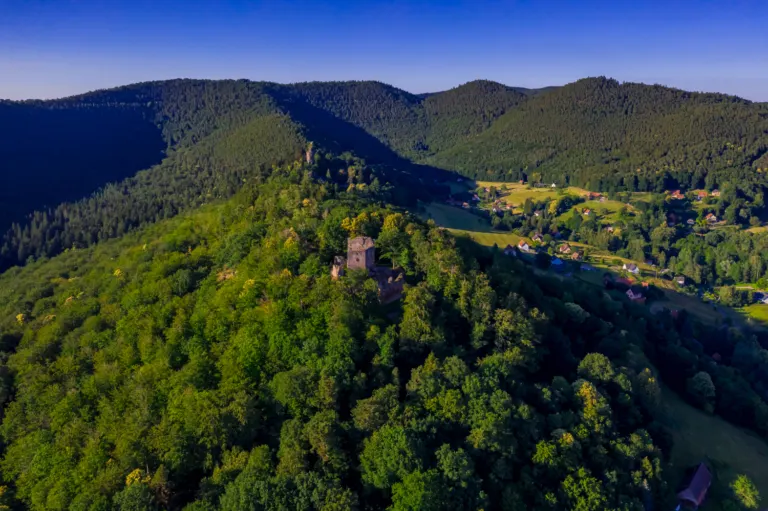
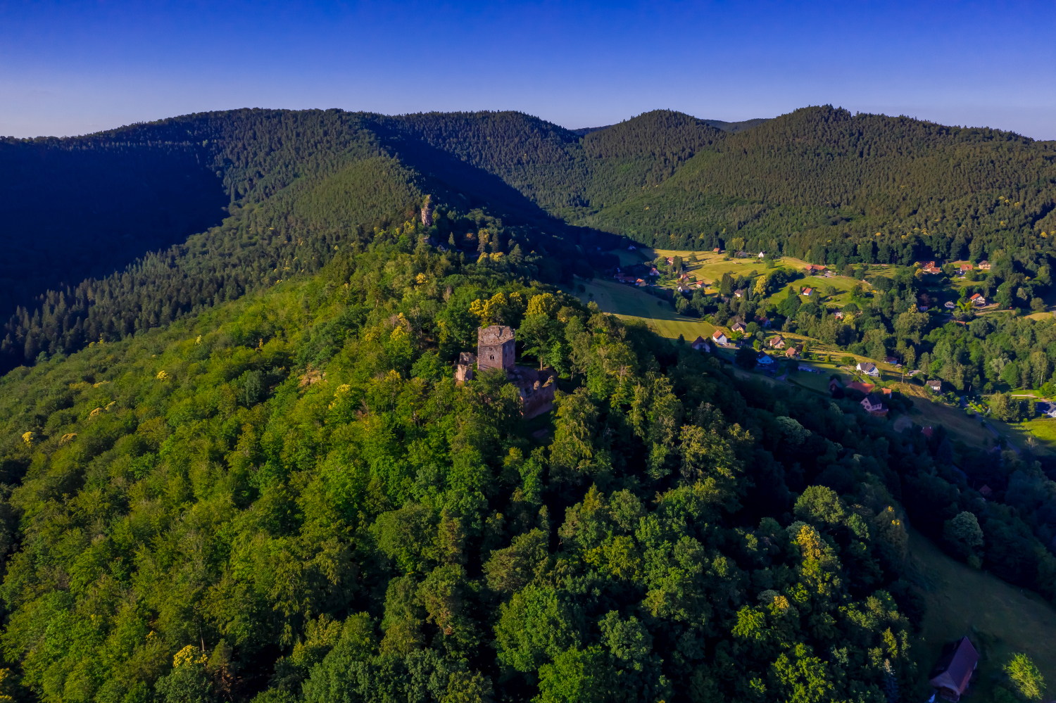
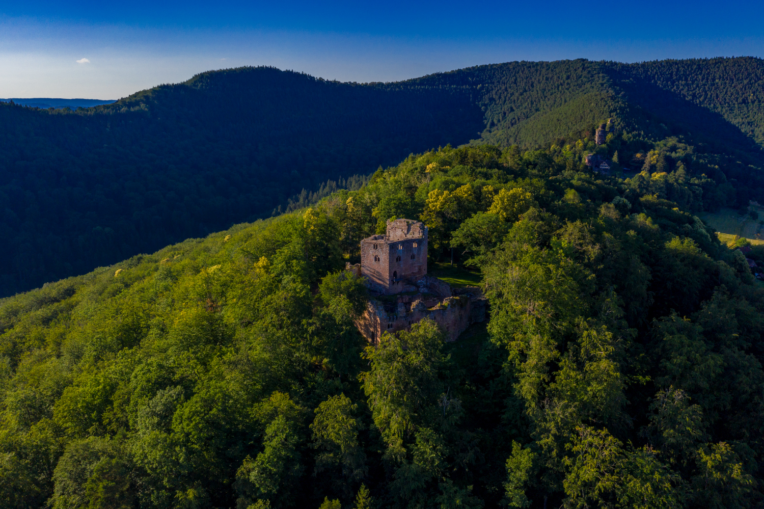
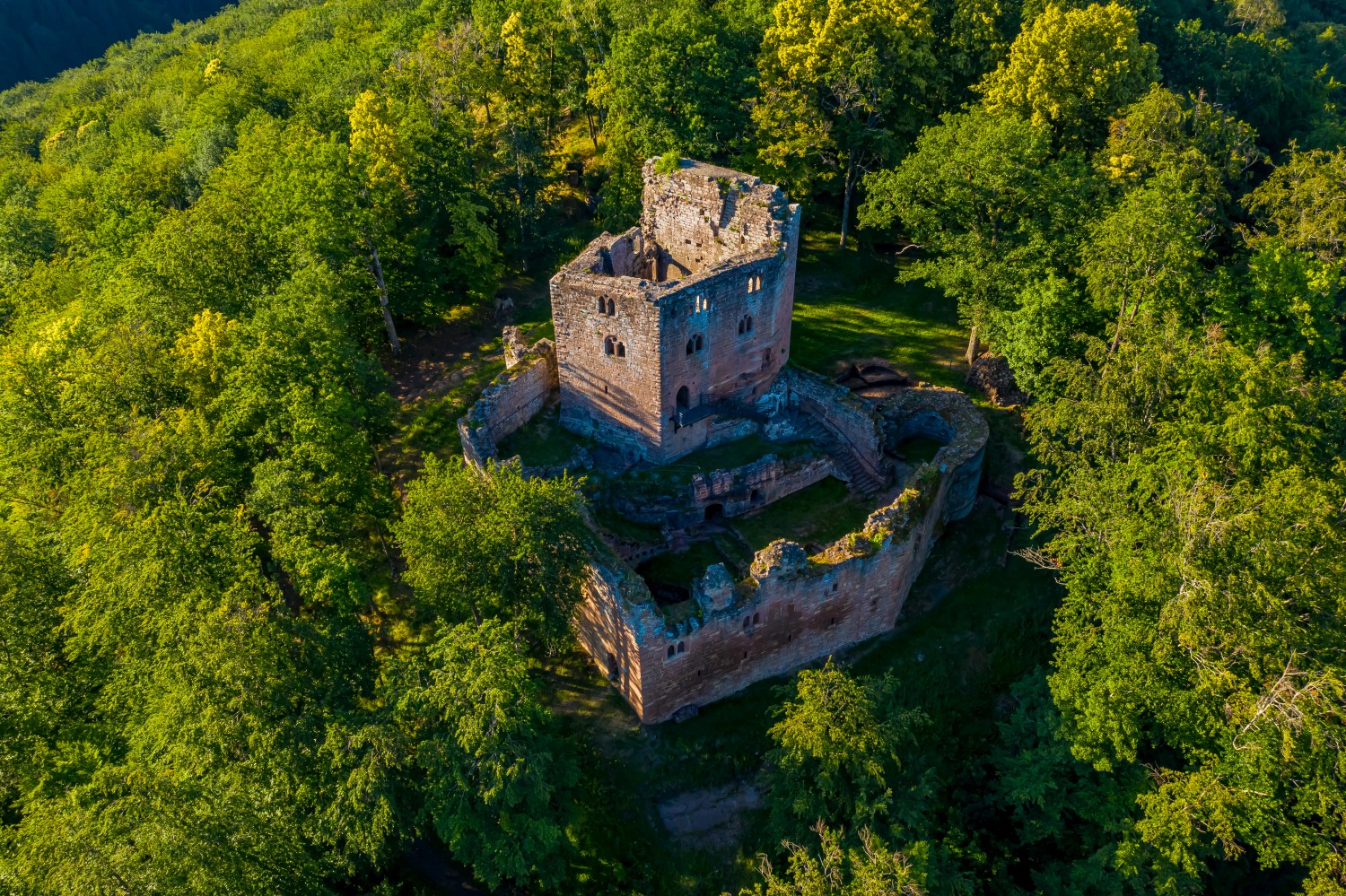
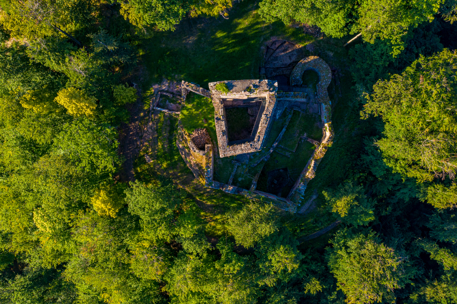
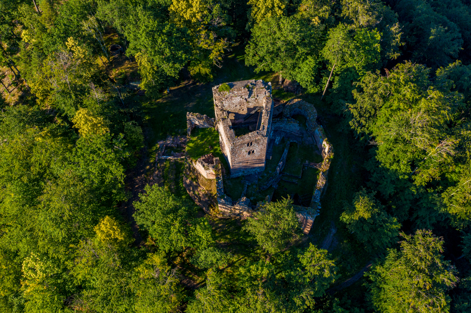
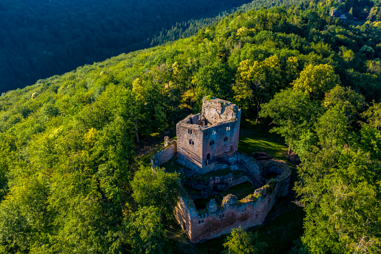
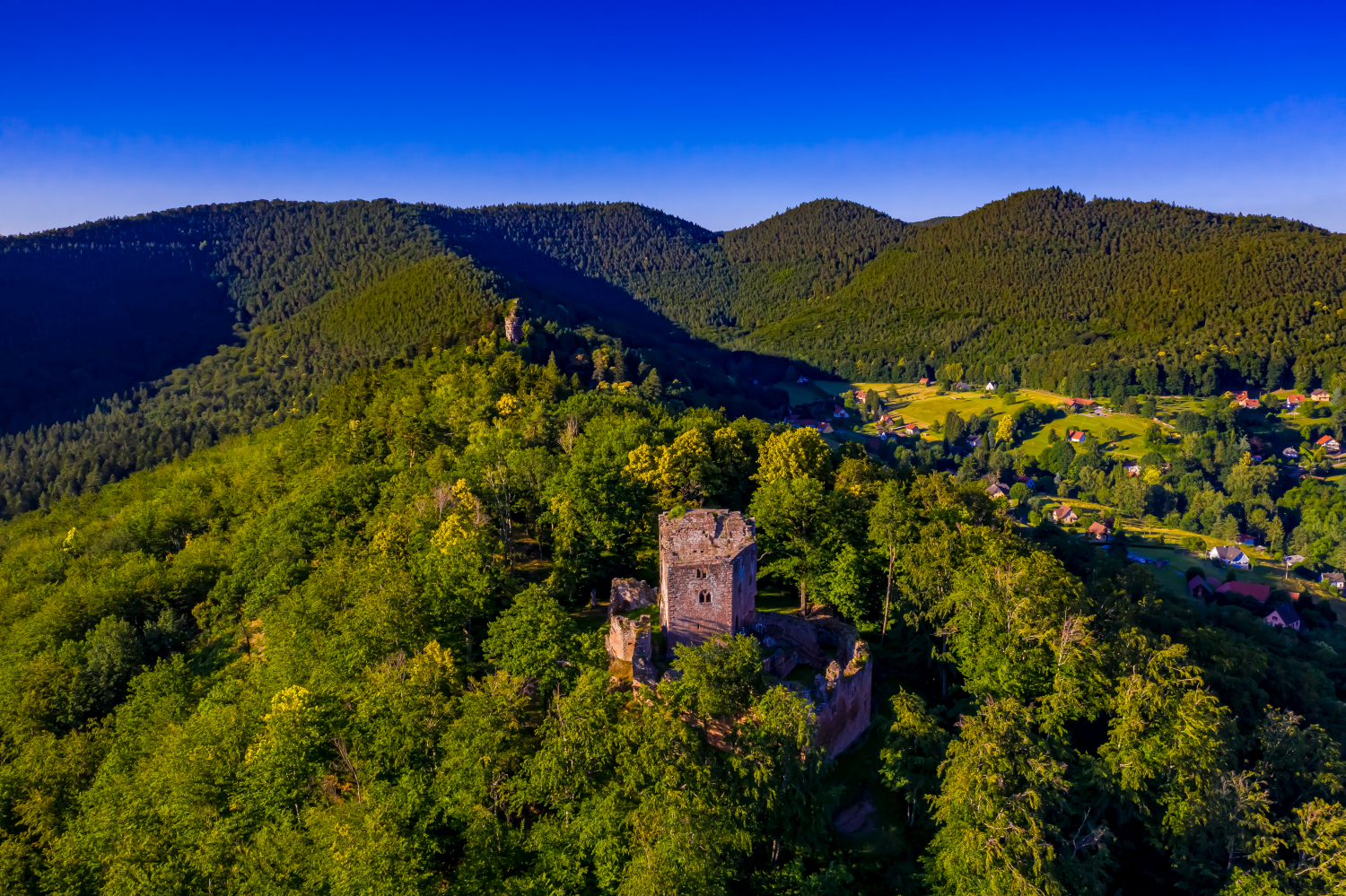
At Neuwindstein Castle in France, the ruins rise from a wooded ridge. In the wide view it remains a small part of the green ridge. The steep view of the walls, however, makes the openings and their position on the rock visible.
The forest around the ruins
Distinguishing between walls and solid rock at Neuwindstein Castle requires a second look. Straight edges provide clues, while treetops completely obscure some transitions.
A ruin is visible from above in places where walls change direction or merge into open interior spaces. There you can follow the floor plan, even if only individual sections have been preserved. Growth and shadows are part of the visible situation. A careful description of the image names the recognizable parts without reconstructing missing buildings from their outline alone. In comparison with a closer picture, it also becomes clear where the large lines of the overview consist of several individual pieces of wall.
The shape of the rock in the light
Rock surfaces are often harder to read in an aerial photograph than their sharp outline suggests. A dark area can be a deep crevice or just in shadow. The connection of several visible edges provides information. Where they converge and cover a surface, a spatial jump is understandable. A location with clear rock contours is suitable for publication with smaller images. In a larger format, the eye can wander more over the finer differences in the surface.
What the treetops reveal
A forest changes the view of every structure and every path that lies on its edge. From one side the treetops cover the lower area, from another a small gap opens. Photos in which the boundary between open space and vegetation can be clearly seen are particularly interesting. They explain which parts of a motif are visible. In a description, it is possible to distinguish precisely between the section depicted and the terrain hidden by the foliage.
Shades of green in the image
To switch between two of the 9 aerial photos, shot 7 and shot 3 can be called up directly in the gallery. In the first image, green areas make up a smaller part of the section than in the second. It's worth tracking the green areas individually. Only in connection with neighboring forms does it become clear what is in the foreground and what belongs to the more distant surroundings.
Shot 1 and Shot 9 are among the views from June 25, 2020. According to the camera's time information, there are approximately 9 minutes between the two images. The exposure time was 1/500 second for the first of the images mentioned and 1/160 second for the second.
For a selection of moving images, the gallery contains 3 linked clips. Below is “Burg-Neuwindstein in France from the air”. Under Aerial Videos the preview leads to the aerial photographer's respective offer at Adobe Stock.
Communicate architecture and location together
Anyone who has visited a building themselves often remembers the entrance and the first view upwards. In the aerial photograph, these exact areas can disappear behind a roof or a wall. A suitable caption helps to connect the tour experienced with the spatial overview. For an aerial photographer, planned use is therefore a good starting point. A view for a site plan needs clear outer edges. An image for the cover page may focus more on the interaction between the building and its surroundings.
Related motifs in the aerial photo archive
Two additional views can be used in the archive for comparison. The first can be found under Tustan Fortress. Near Tustan in Ukraine, light-colored rock ridges grow out of a closed forest area. The second belongs to the post Dunluce Castle. Dunluce Castle sits just above the surf on the Northern Irish coast.