 F4LUFTBILDER

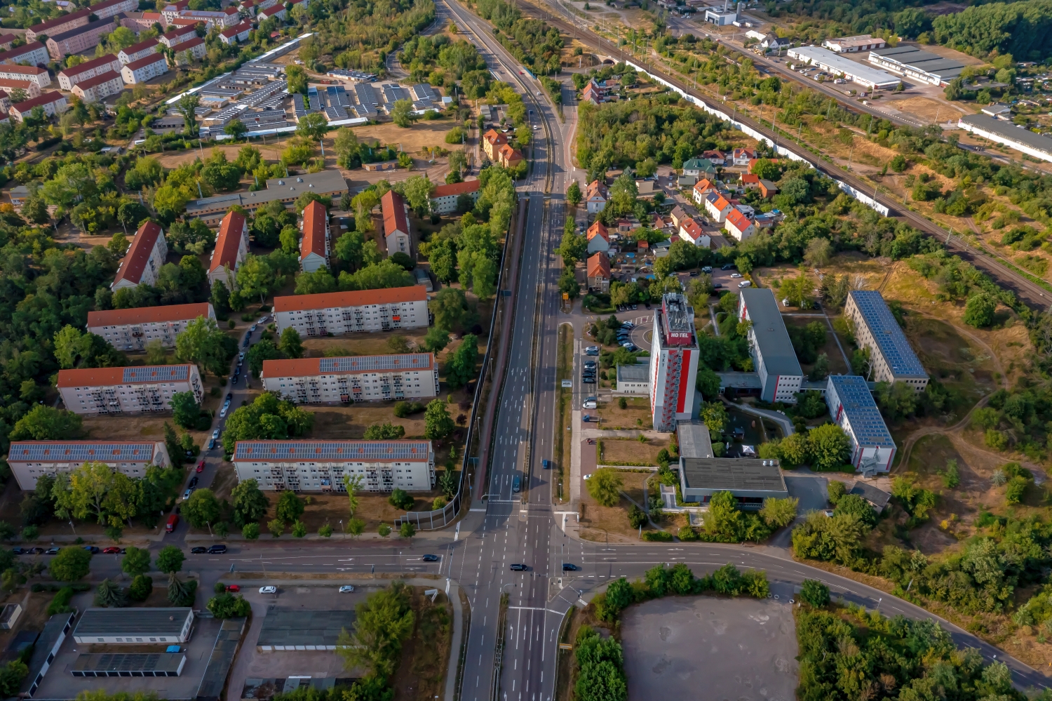
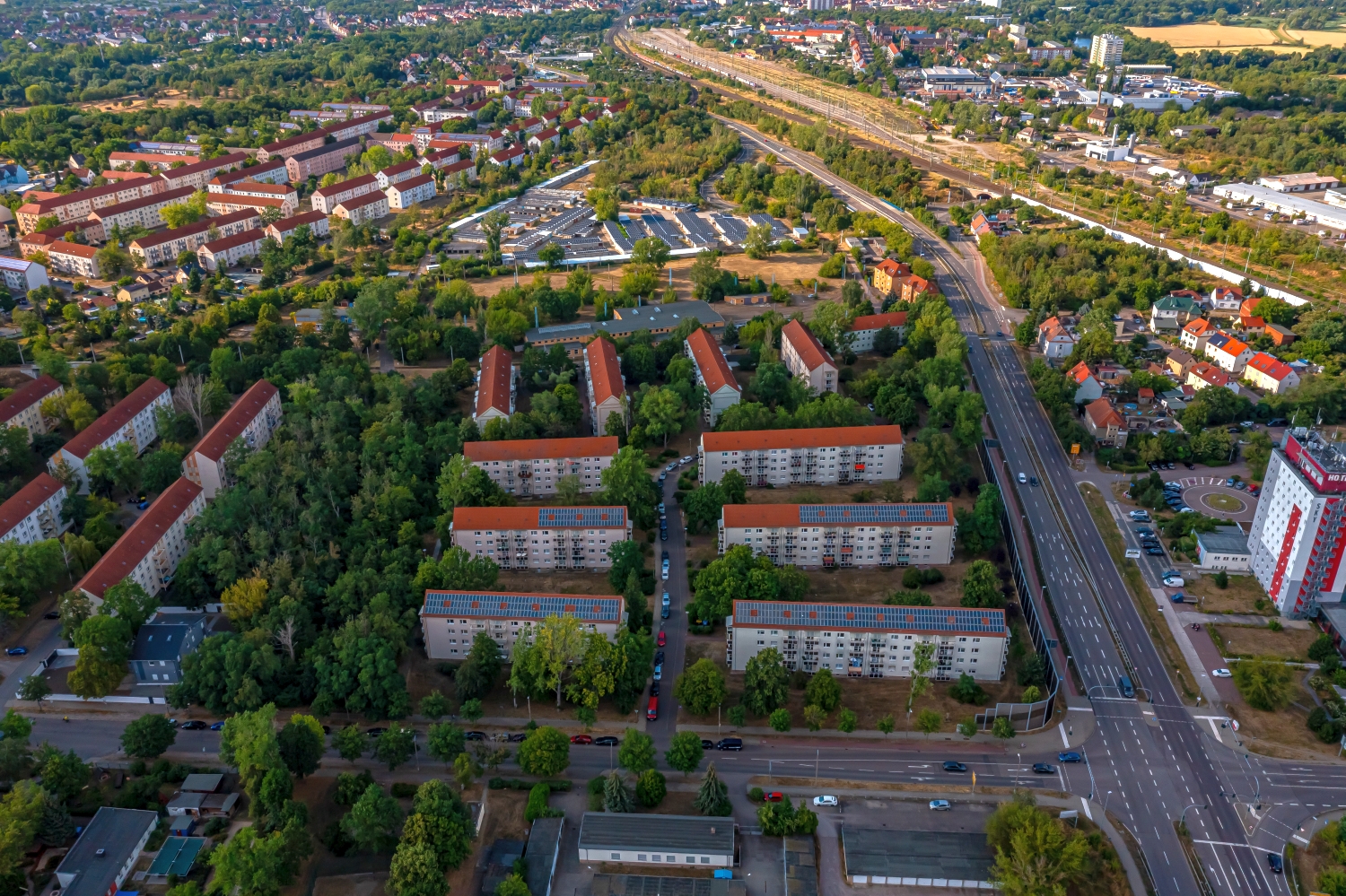
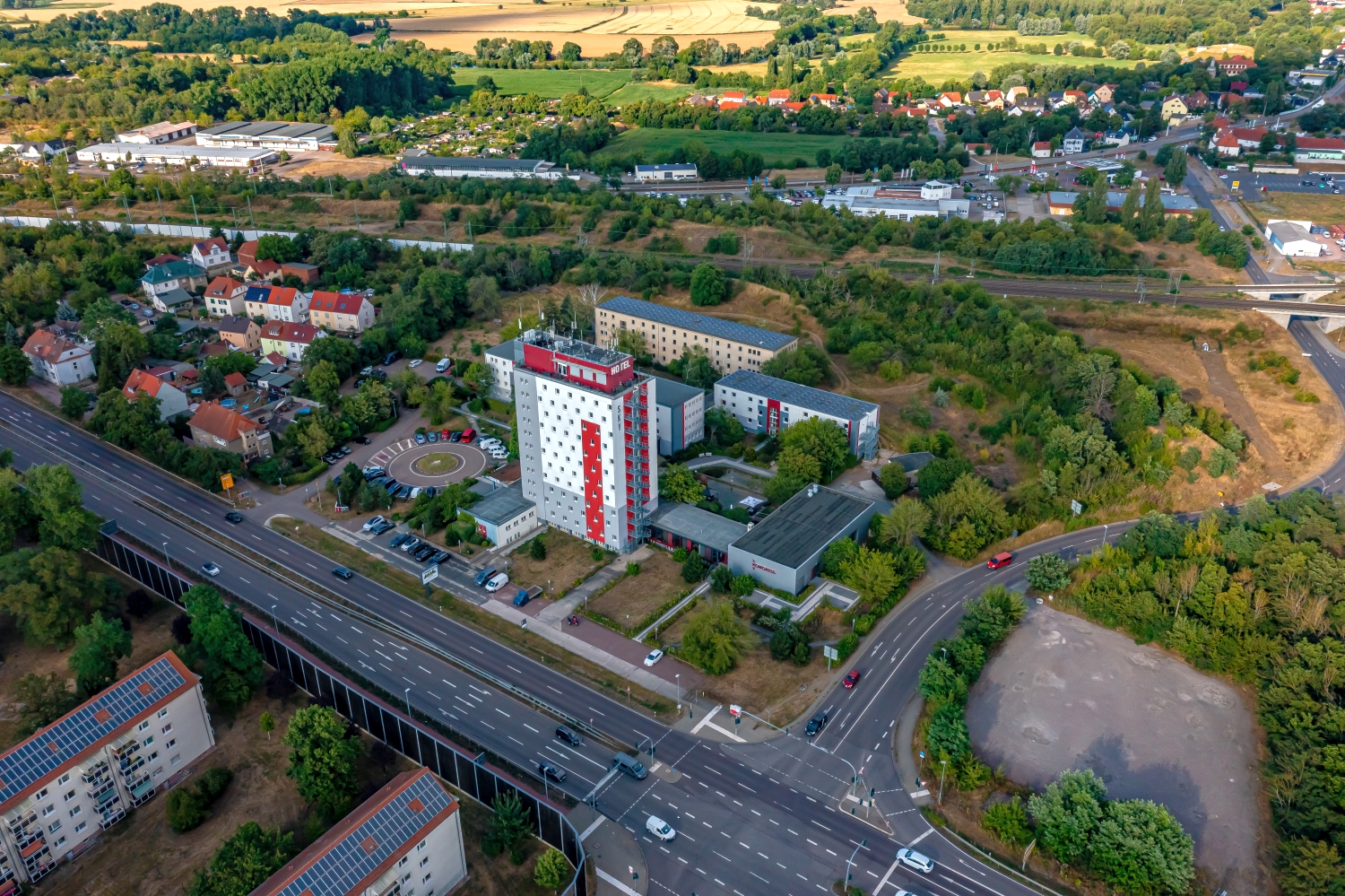
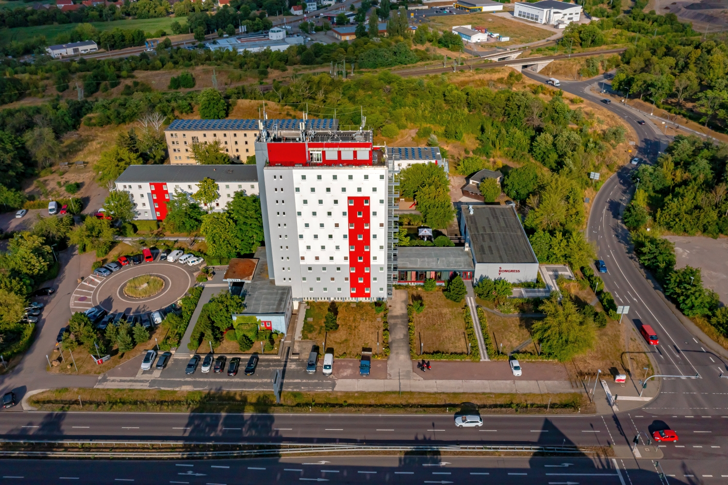
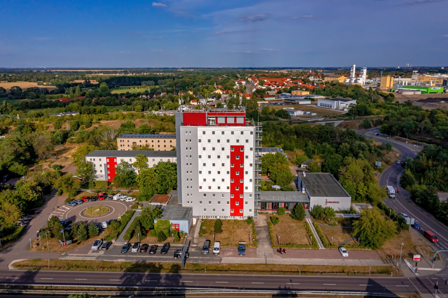
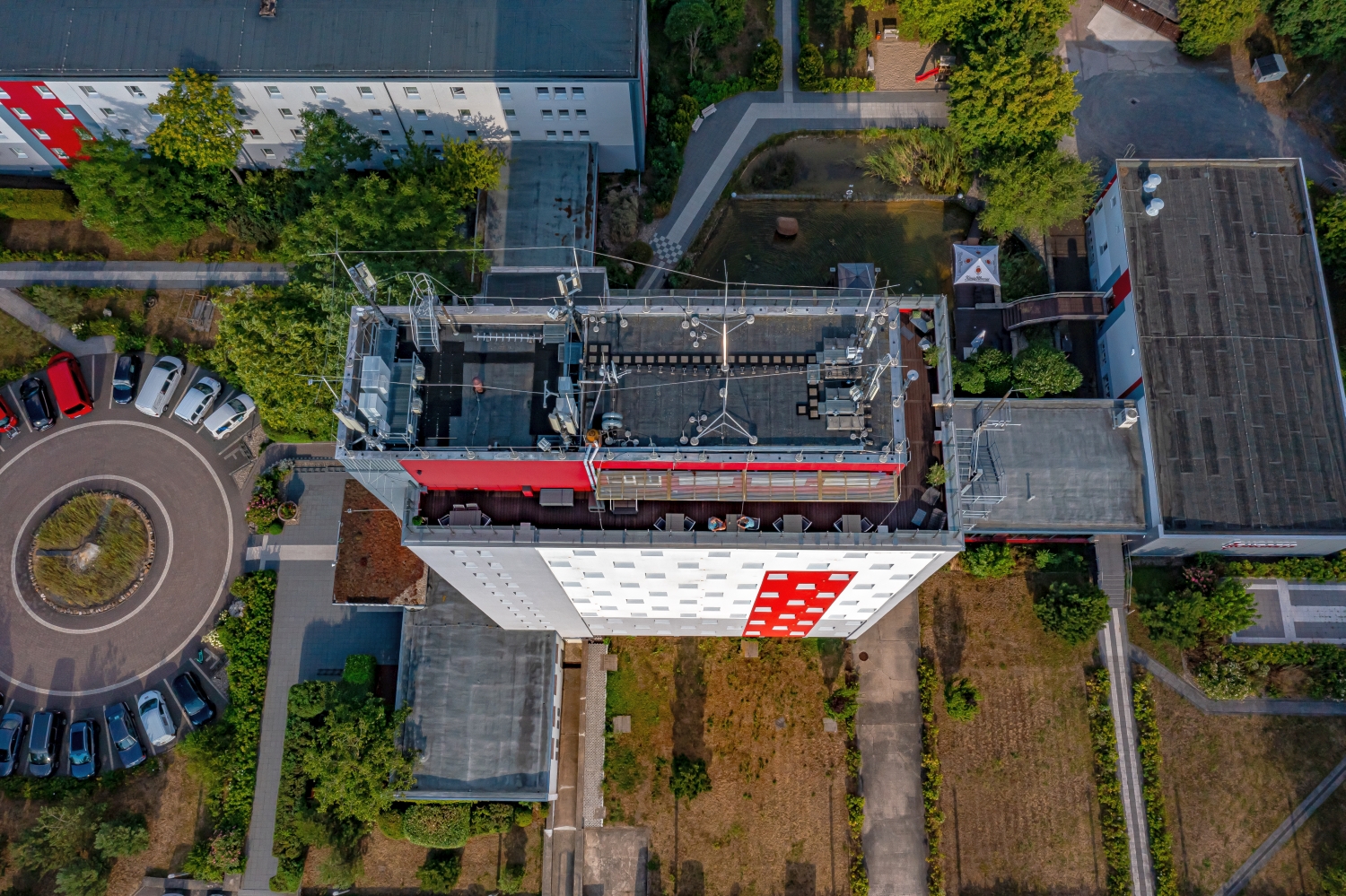
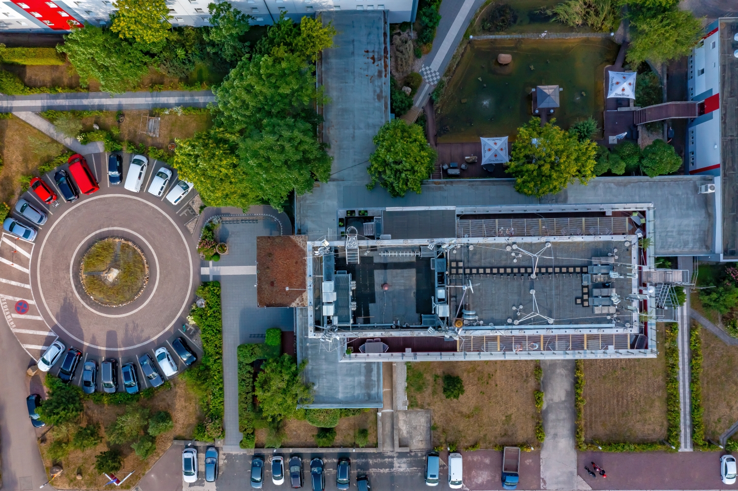
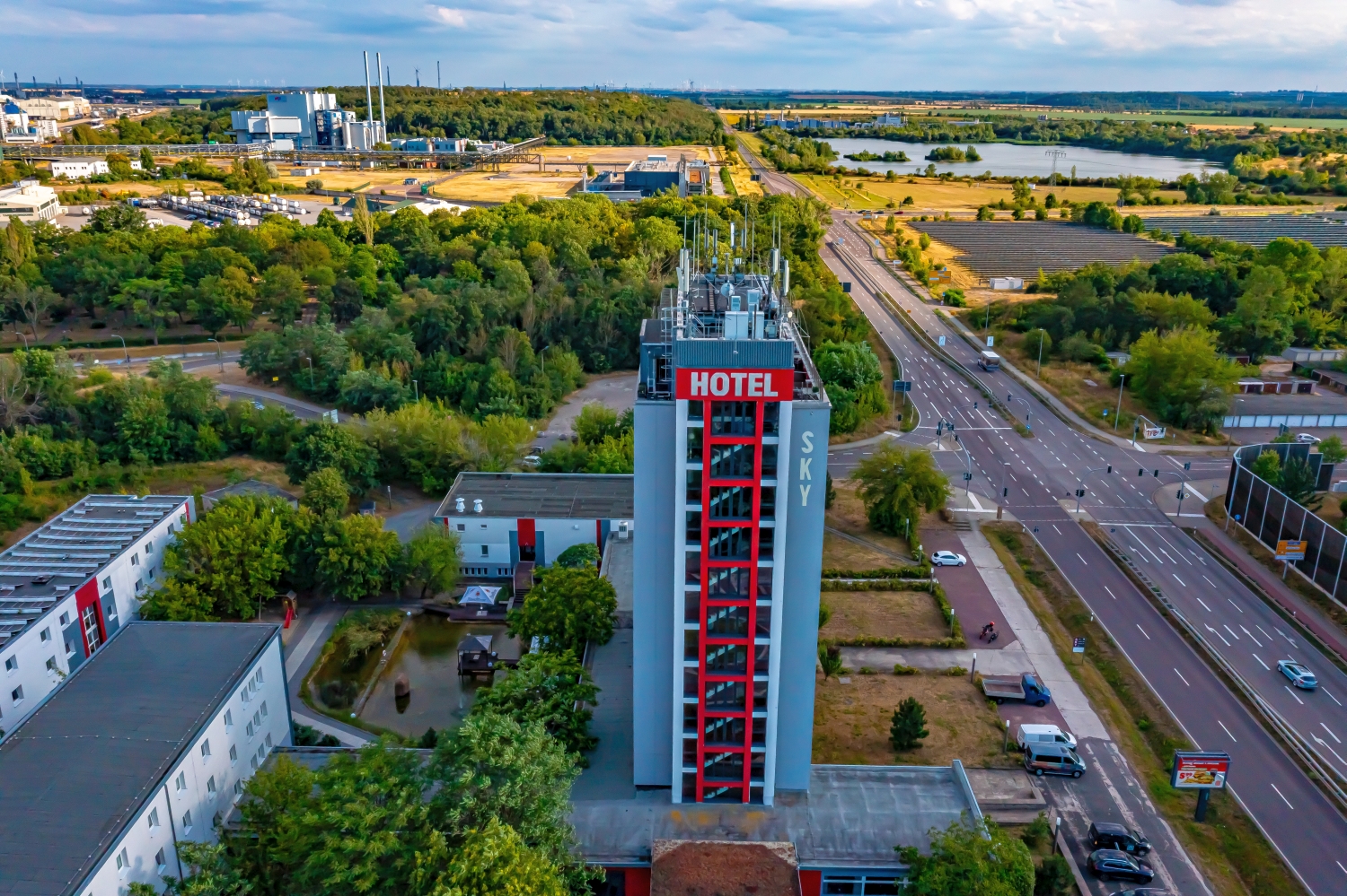
Merseburg between hall roofs and water
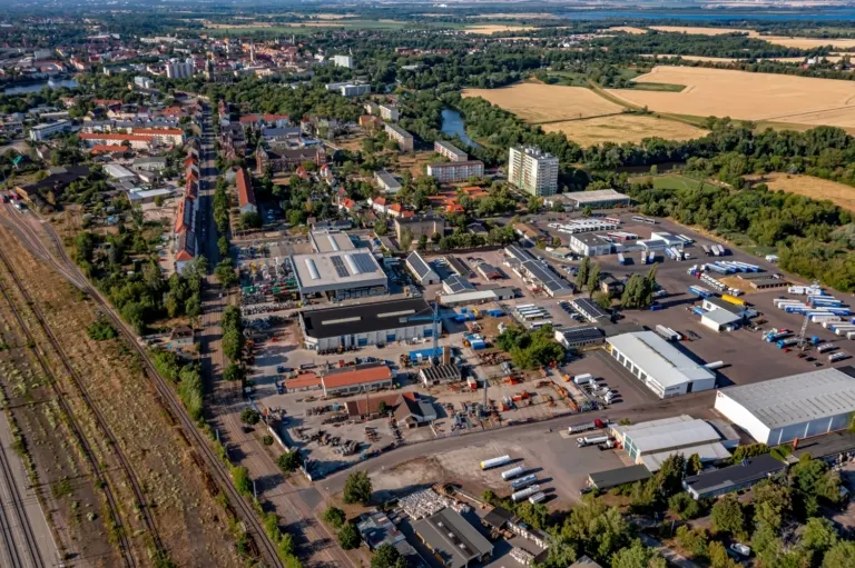
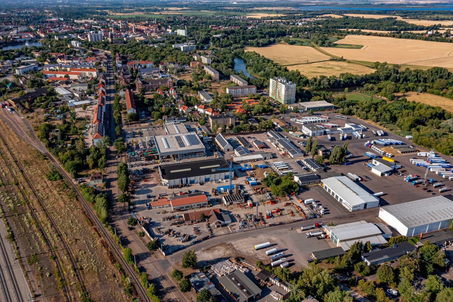
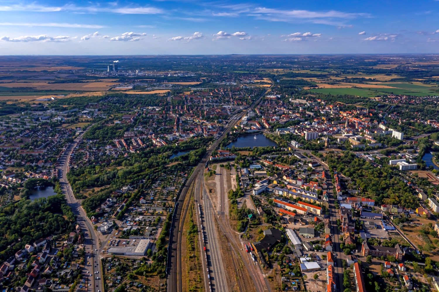
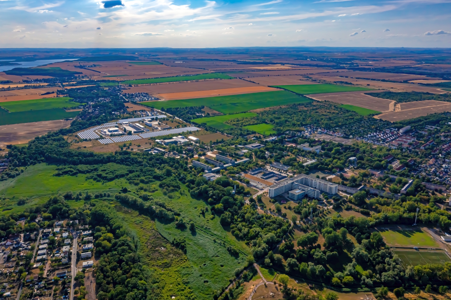
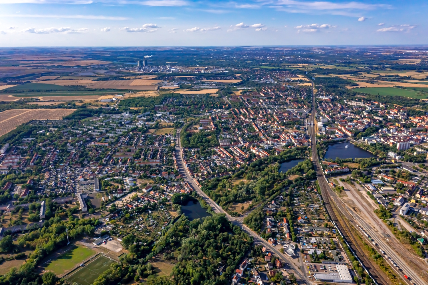
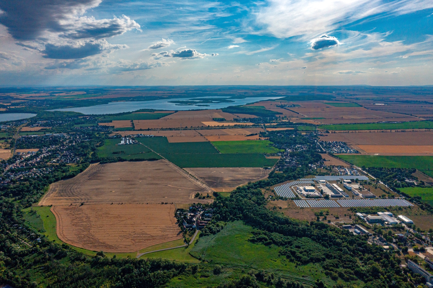
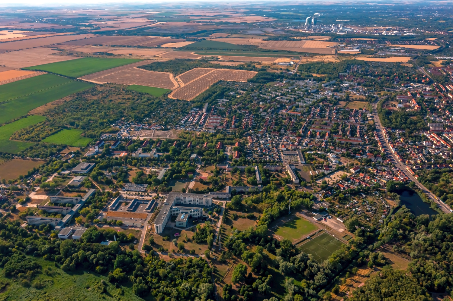
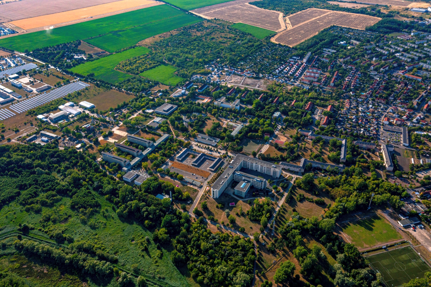
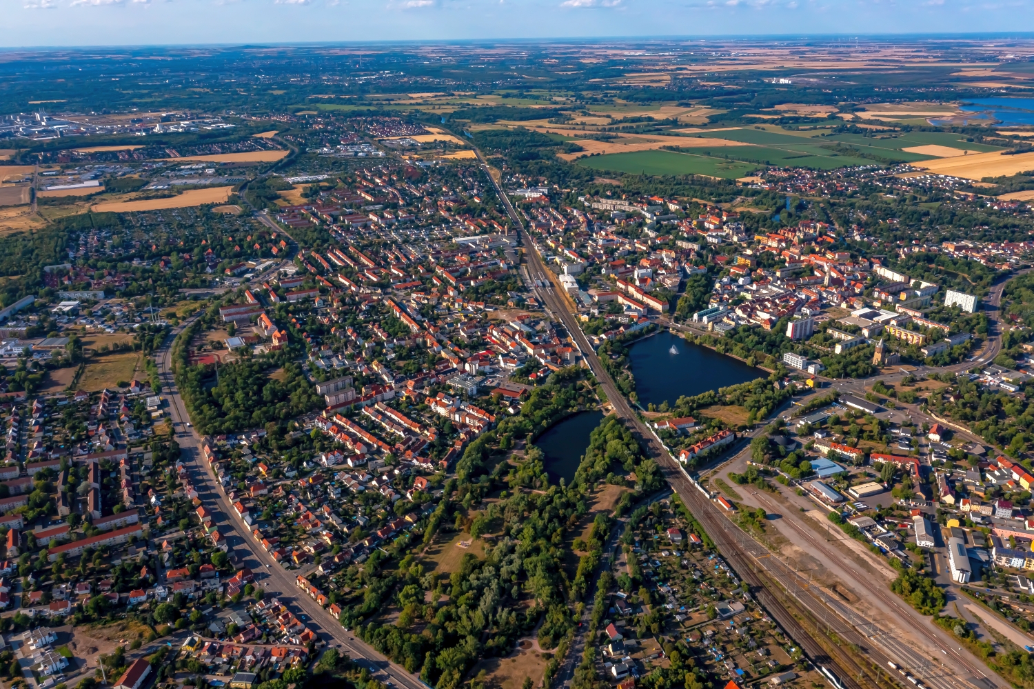
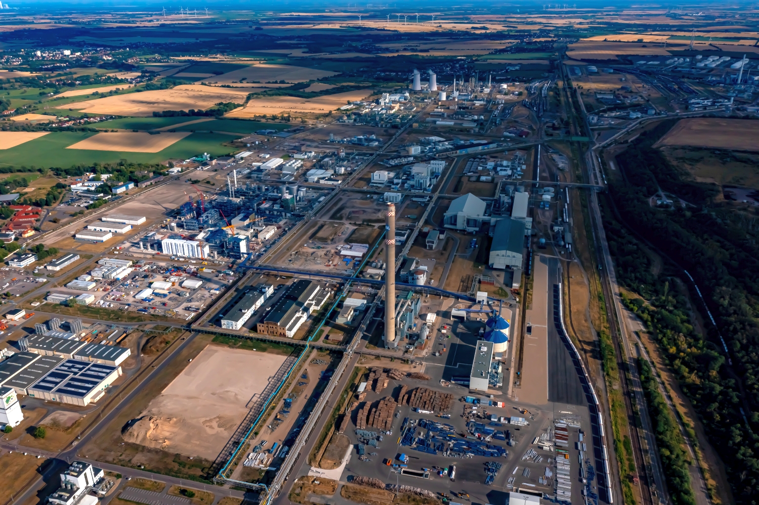
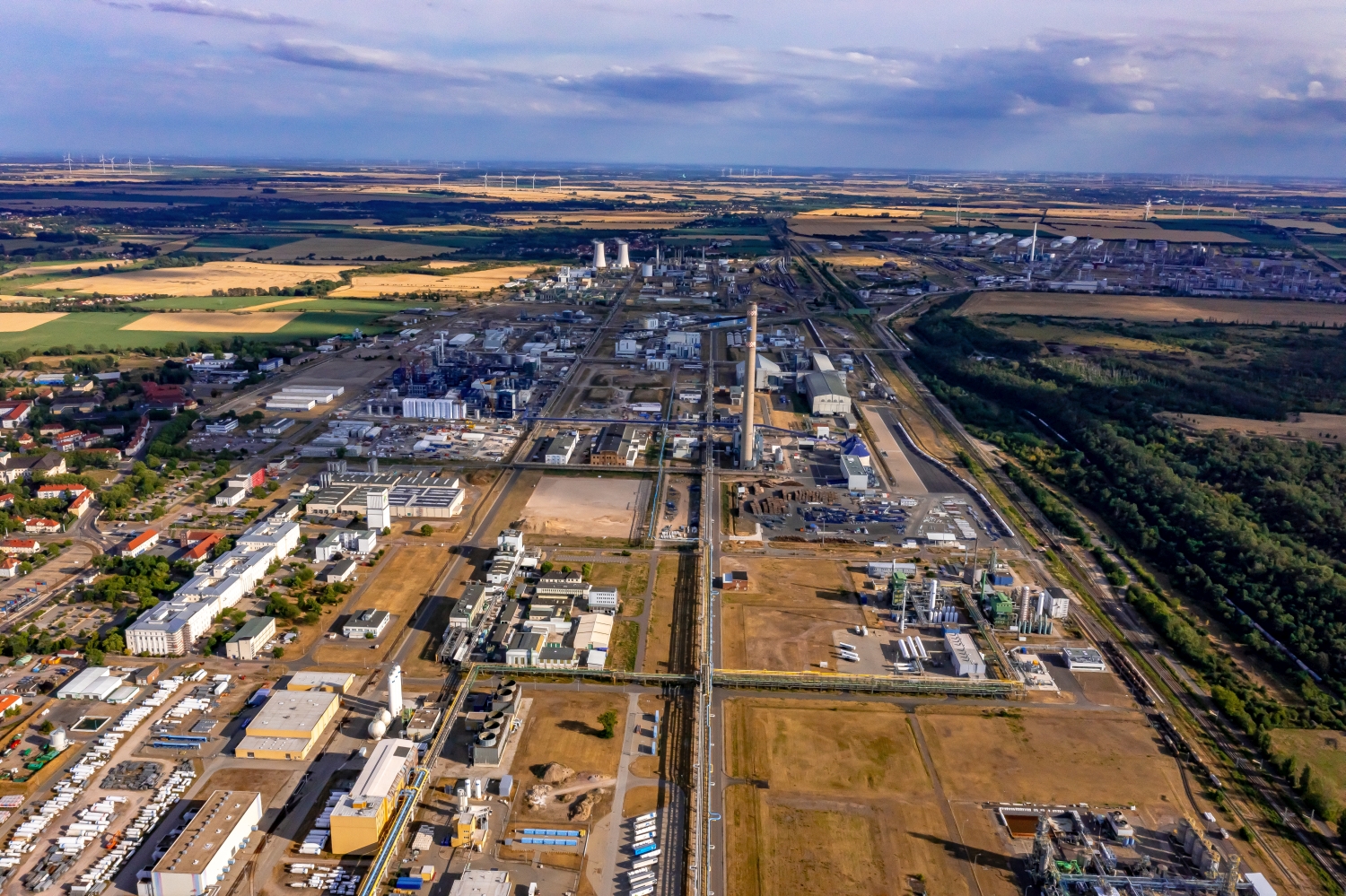
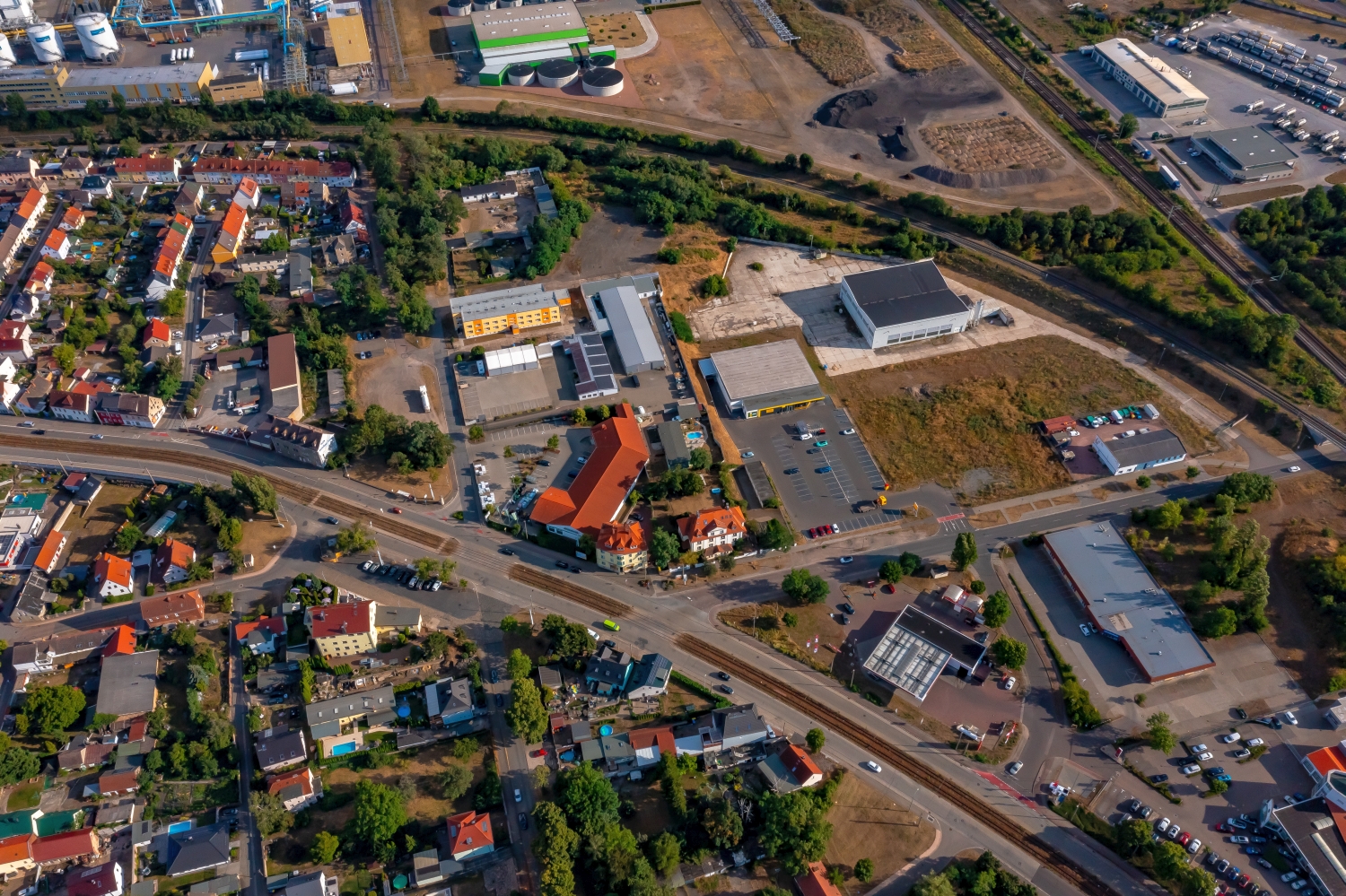
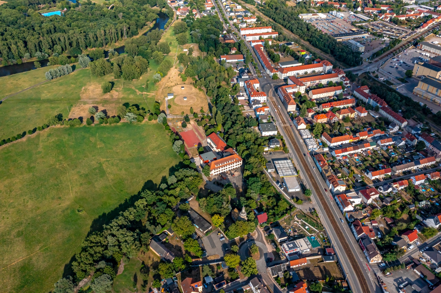
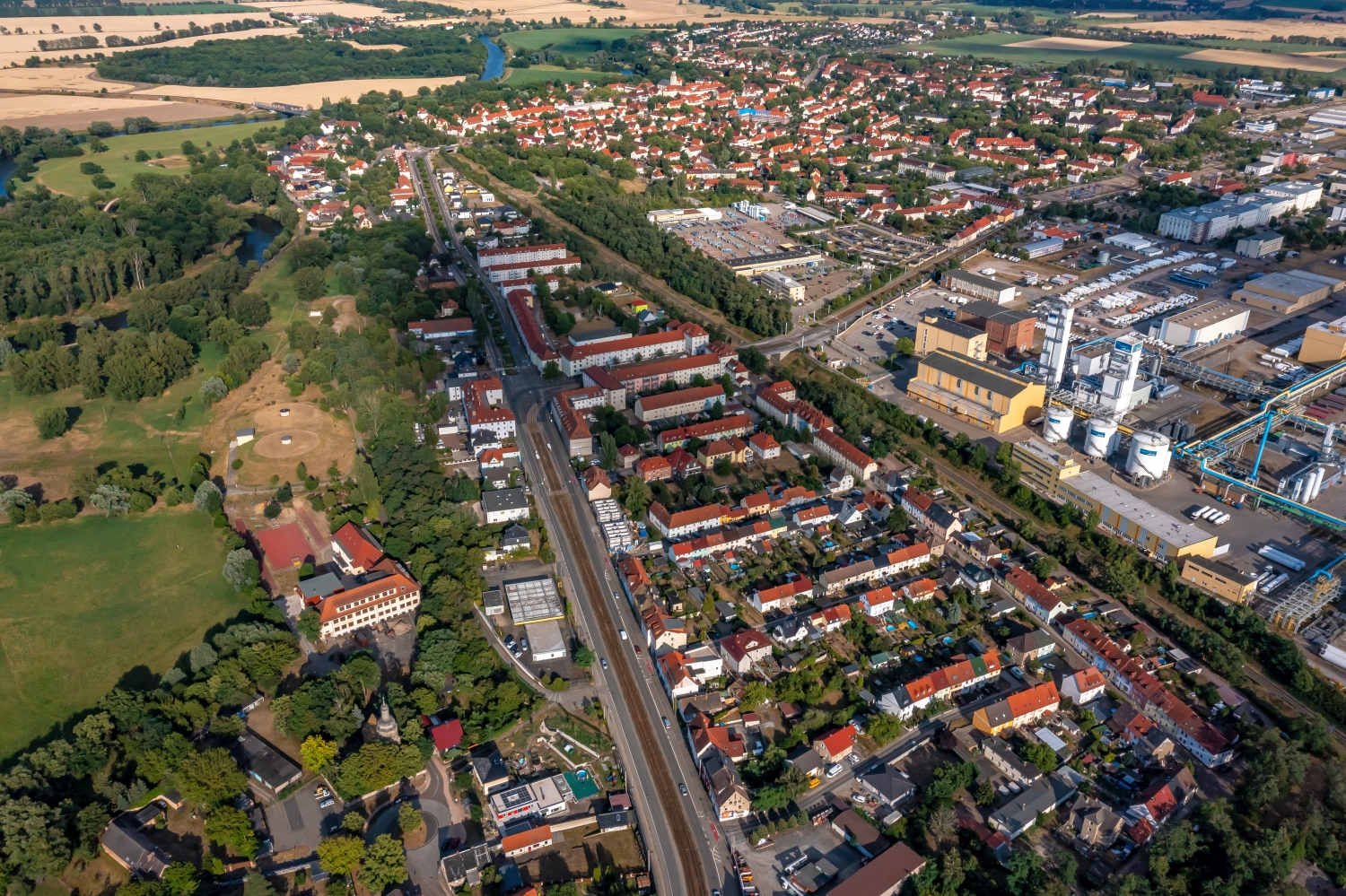
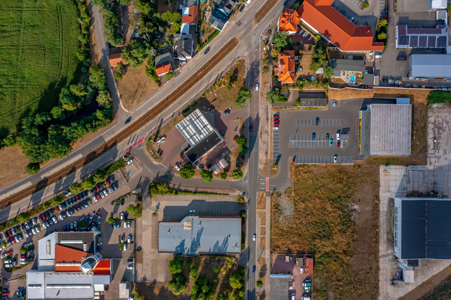
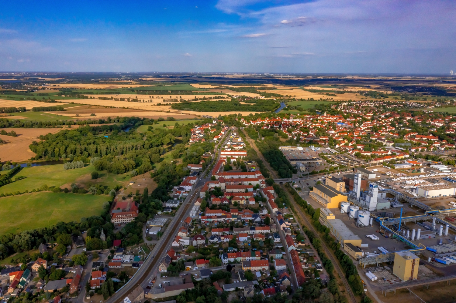
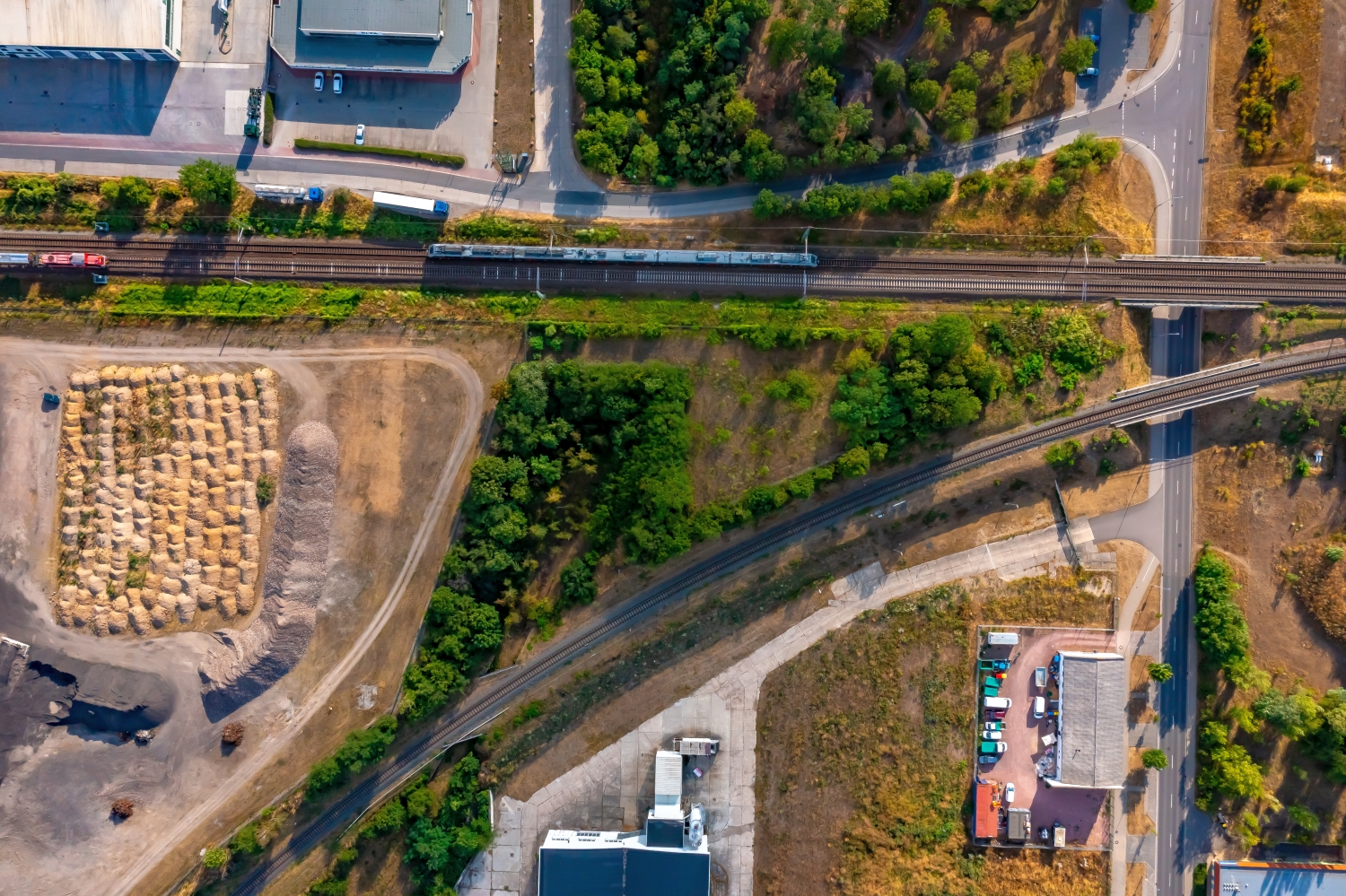
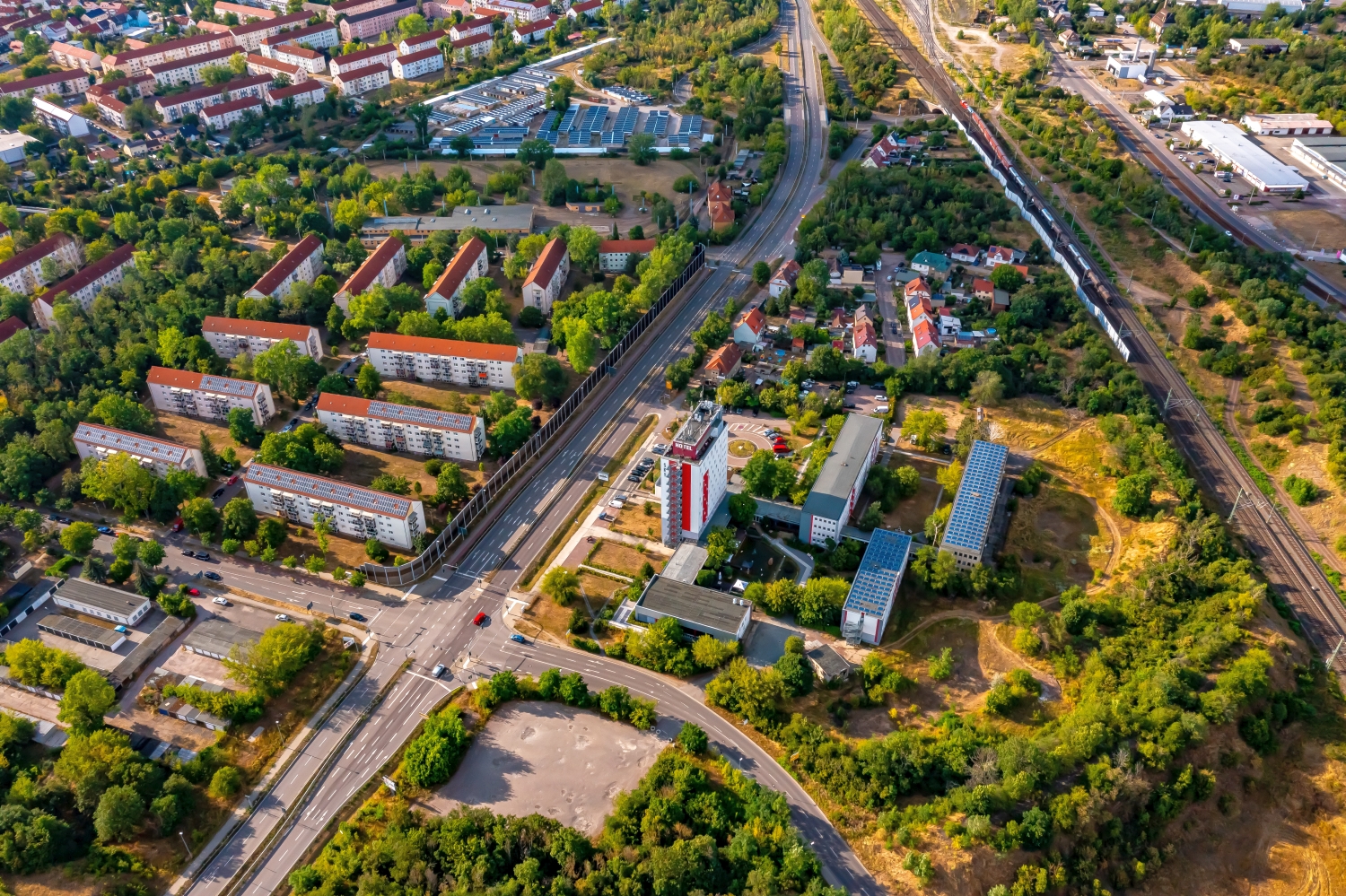
The series from Merseburg combines large commercial buildings with residential areas and open water areas. Just jumping from one hall roof to the next row of houses changes the scale. A broader aerial view places the individual areas within the land surrounding the city.
Different scales in a city
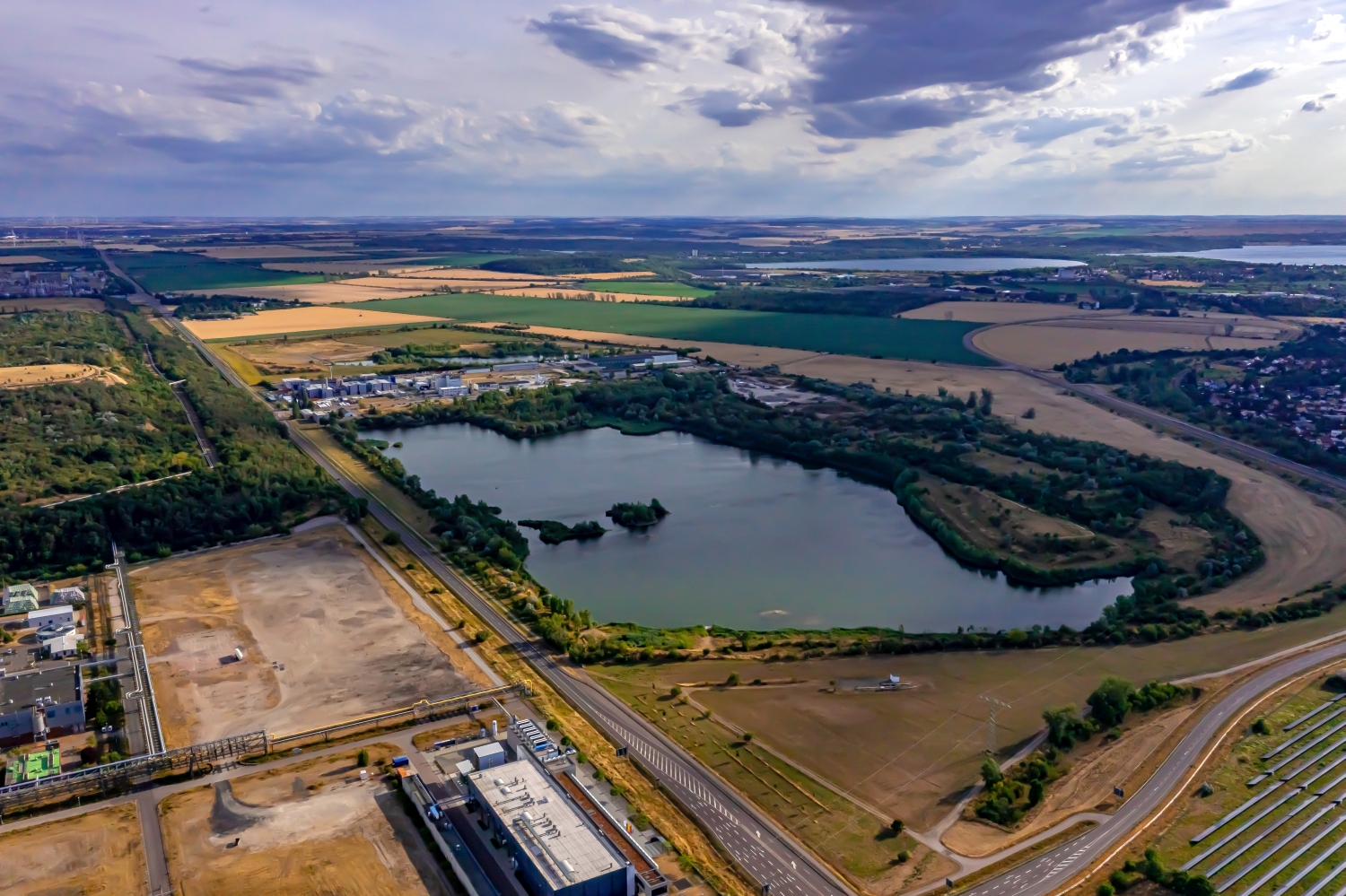
At Merseburg, the large halls and the finer rows of roofs show two sides of the same urban landscape. On a double page, the open water area can serve as a calm counterpoint. Then it remains legible where the technical areas end and how the city merges into the surrounding area.
A technical site often has several striking shapes that appear separated from the ground by fences or neighboring buildings. The elevated perspective shows their arrangement relative to each other. Interruptions, connecting routes and free operating areas are just as informative as the largest buildings. A carefully chosen section shows where a system begins and how it connects to its surroundings. The exact function of individual lines or system parts should only be stated if it can be reliably assigned based on additional information.
The view over a calm body of water
On a lake, a large area can appear almost uniform. Only an arch on the bank, a boat or the reflection of a slope gives the eye something to hold on to. In aerial photography, the image often appears particularly spatial, as it contains a piece of land in the foreground in addition to the water. For a wide image, the water surface can have more space. In a narrow format, their connection to the shore should be retained so that the landscape becomes a recognizable place and not just any blue area.
What becomes visible on the edge of town
On the edge of town, several scales come together in a small section. On one side there are individual buildings with gardens and driveways. On the other hand, a single open area sometimes takes up as much space as several streets. This change can be shown in the picture over a common edge. A section in which the border between the two areas remains visible even when displayed narrowly is suitable for a website. The motif then retains its local reference even in the mobile view.
Shades of green in the image
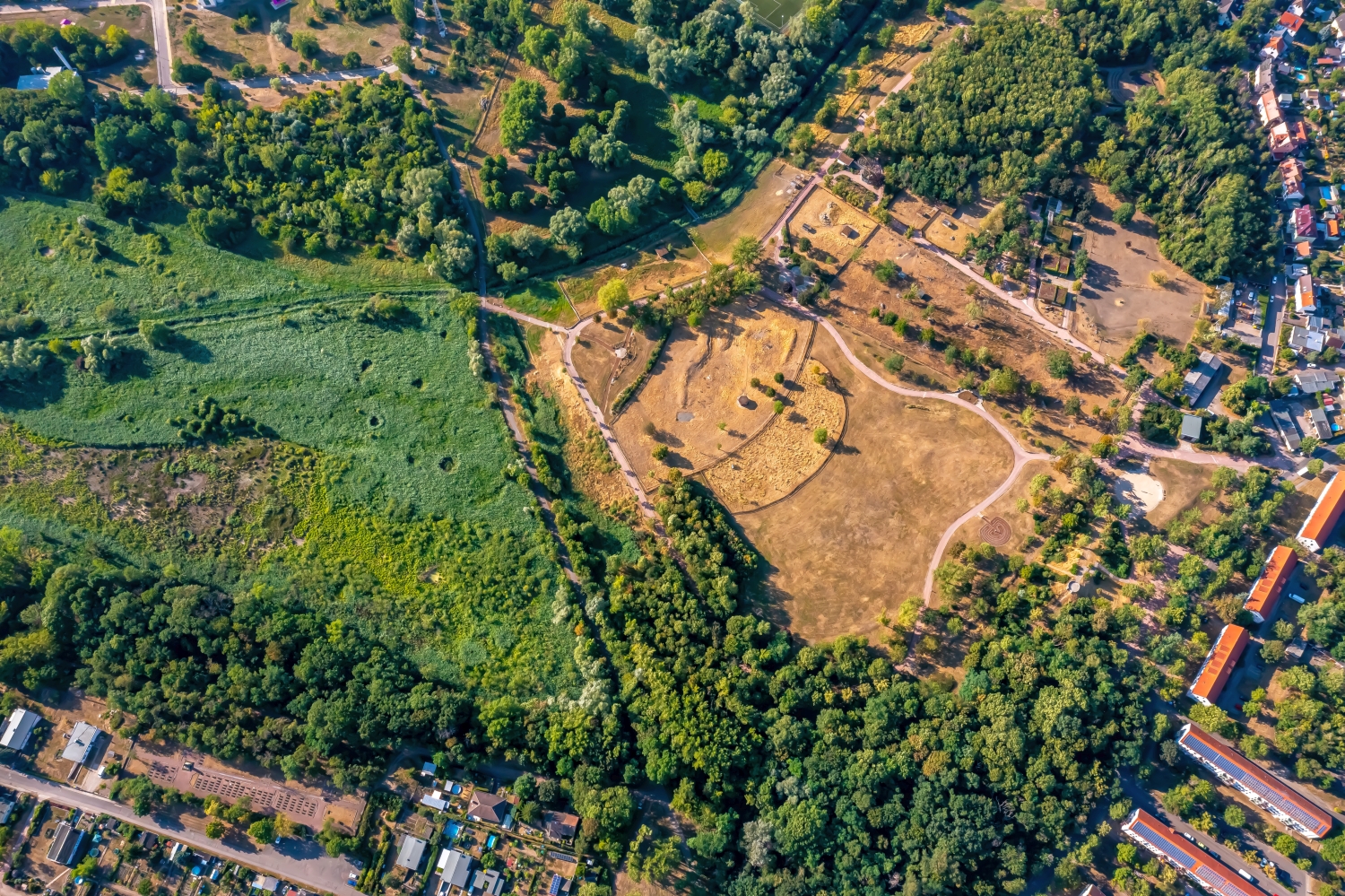
To switch between two of the 28 aerial photos, shot 11 and shot 7 can be called up directly in the gallery. In the first image, green areas make up a smaller part of the section than in the second. It's worth tracking the green areas individually. Only in connection with neighboring forms does it become clear what is in the foreground and what belongs to the more distant surroundings.
Shot 1 and Shot 28 are among the views from July 12, 2023. According to the camera's time information, there are approximately 17 minutes between the two images. The exposure time was 1/500 second for the first of the images mentioned and 1/800 second for the second.
An image for spatial documentation
For documentation over several years, the exact excerpt is just as important as the date it was taken. It makes sense to have a fixed reference point that should also exist at the next appointment. Temporarily parked vehicles are of little help. A street intersection or the corner of a building is usually easier to find again. An aerial photographer can record the direction of view along with the image number. If you later put two prints next to each other, you can more easily see the difference between a structural change and a simply different perspective.
Related motifs in the aerial photo archive
Two additional views can be used in the archive for comparison. The first can be found under Kelbra (Kyffhäuser). Above Kelbra, the water surface of the reservoir is striking, especially when the light is reflected in it. The second belongs to the article Berga (Kyffhäuser). In Berga, fields adjoin the development on several sides.