 F4LUFTBILDER
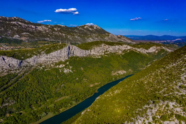


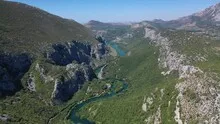
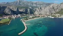
Omiš at the mouth of the Cetina
In Omiš the Cetina meets the Adriatic. From above you can follow the path from the rocky hinterland to the coast. The city makes use of the narrow area between the river and the steep rock faces, which rise close behind the buildings in the wider view.
From the Cetina inlet to the Adriatic
In Omiš the line of the Cetina meets the Adriatic coast. The steep rock flanks give the estuary a striking background and make orientation easier in a wide shot.
At the river it is worth taking a second look at both edges of the picture. Sometimes a road ends there and continues along the water in the next section. In another place, a line of trees frames a stretch of bank. Such clues connect the place with its river valley. For a double page spread, you can choose an overview showing the course and juxtapose it with a close-up view of the shore. It helps if at least one bend in the bank or a building can be found in both motifs.
The shape of the rock in the light
Rock surfaces are often harder to read in an aerial photograph than their sharp outline suggests. A dark area can be a deep crevice or just in shadow. The connection of several visible edges provides information. Where they converge and cover a surface, a spatial jump is understandable. A location with clear rock contours is suitable for publication with smaller images. In a larger format, the eye can wander more over the finer differences in the surface.
The coastline as orientation
From land the first thing you notice is the open water. In an aerial view, the process can be reversed and the coast can be seen from the sea. Wherever it changes direction, small protected spaces are created. Other sections extend almost straight to the edge of the picture. When selecting a motif, it is worth comparing these transitions with each other. A single, striking rocky outcrop can identify a location more clearly than a much larger expanse of water with only light and waves visible.
Shades of green in the image
Among the 24 photos in the gallery, shot 22 and shot 8 provide a good starting point for the comparison. In the first image, green areas make up a smaller part of the section than in the second. It's worth tracking the green areas individually. Only in connection with neighboring forms does it become clear what is in the foreground and what belongs to the more distant surroundings.
The camera captured August 22, 2020 for shot 13 and shot 24. The time interval between these two views is approximately 279 minutes. The exposure time was 1/400 second for the first of the images mentioned and 1/800 second for the second.
For a selection of moving images, the gallery contains 2 linked clips. Among them is “Omiš”. Under Aerial Videos the preview leads to the aerial photographer's respective offer at Adobe Stock.
Explain the course of the river in the picture
For a publication about a river, it is worth explicitly naming the bank side if it is known. The left side of the photo and the left bank of the river are two different details. The photo can look in any direction, the bank name follows the direction of flow. Anyone who describes a desired view to the aerial photographer can therefore orientate themselves on a bridge, a settlement or an easily identifiable section of the bank. The same reference points make it easier for the reader to orient themselves later when the river appears to be going in a different direction in the next shot.
More aerial photos for comparison
Two further articles invite comparison. In the first, Rechtenstein, another detail is in the foreground. At Rechtenstein, the Danube follows a forested cut. Then Spain – Gran Canaria is an option. On Gran Canaria, the open Atlantic coast meets built-up stretches of shore.
Aerial photos of Croatia – Omiš
Your aerial photographer across Europe
Request a free quote