 F4LUFTBILDER
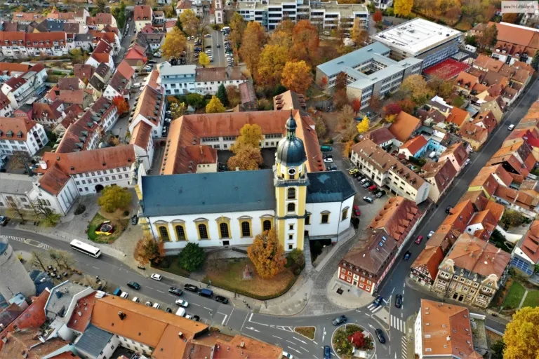
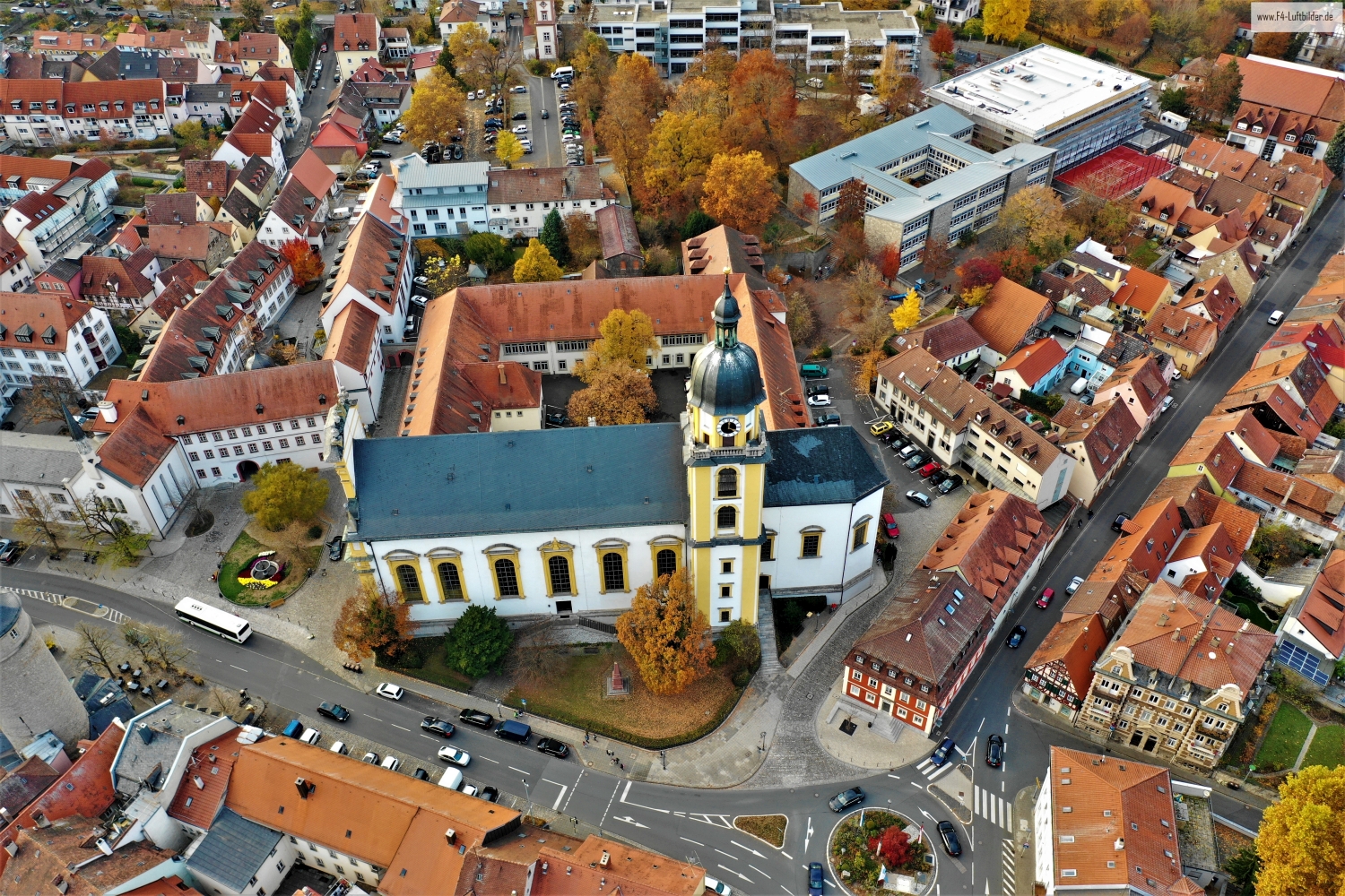
The Protestant town church in the roof structure of Kitzingen
A single aerial photo shows the Protestant town church of Kitzingen in connection with the adjacent roofs. The larger church building takes up more space than the narrower neighboring houses. Its position in the city center can be traced step by step on the streets around it.
A Kitzinger recording in detail
The photo from Kitzingen invites you to change the scale within a single image. First you notice the church roof, then the narrow space between the neighboring houses.
A church can often be identified in the townscape by its height. In an aerial view, the arrangement of the roof surfaces also helps. It shows the length of the ship, the orientation of the building and its relationship to paths and adjacent areas. A particularly clear angle is where the tower only covers a little of the rest of the building. To create a portrait of the location, some of the surroundings can be included in the picture. Only it turns the individual church building into a concrete place with a neighborhood.
What the roofs reveal about the floor plan
If you look at it at an angle, the houses not only show their roofs, but also their facades of different widths. This gives the motif more depth than in the pure top view. Even the change from a low neighboring building to a taller building reveals something about the gradation of the place. Such a view is particularly useful for a local chronicle if the caption indicates the starting point of the view. Readers can then follow the rows of houses themselves to the edge of the picture.
Order along a line
To find your way around an unfamiliar townscape, you can follow a continuous line until there is a noticeable change in direction. It is often only on this path that small junctions or free spaces become apparent. The image section determines how much of this order remains visible. If the beginning of the line remains in the foreground and its destination remains in the back part of the image, a photograph has a clear reading direction even without drawn arrows. It's particularly worth looking at in a portrait format.
Details in the original recording
Open the recording of the Protestant city church can be read in two steps. First, look at the whole view and trace the orientation of the church with respect to the streets. Only in the larger picture is it worth taking a look at the transitions between the individual roofs. Since this article contains exactly one photo, this review is about two excerpts from the same time taken. Neither a second side of the building nor a different position of the sun can be derived from the image.
Shot 1 is dated November 12, 2018 in the camera data. This information places the depicted condition in time and refers to exactly this section. For shot 1, ISO 100 and an exposure time of 1/50 second are saved.
Communicate architecture and location together
Anyone who has visited a building themselves often remembers the entrance and the first view upwards. In the aerial photograph, these exact areas can disappear behind a roof or a wall. A suitable caption helps to connect the tour experienced with the spatial overview. For an aerial photographer, planned use is therefore a good starting point. A view for a site plan needs clear outer edges. An image for the cover page may focus more on the interaction between the building and its surroundings.
More aerial photos for comparison
Two additional views can be used in the archive for comparison. The first can be found under Alte Mainbrücke Kitzingen. In Kitzingen, the Old Main Bridge connects two halves of the picture that appear very different. The second belongs to the article Magdeburg. In Magdeburg, the cathedral stands as a tall, dark structure next to the wide expanse of water of the Elbe.