 F4LUFTBILDER
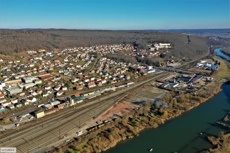
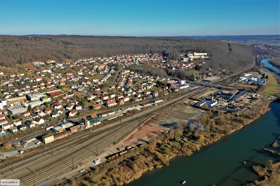
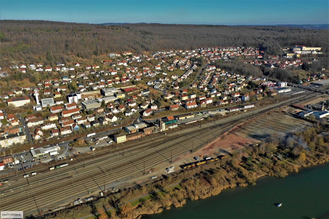
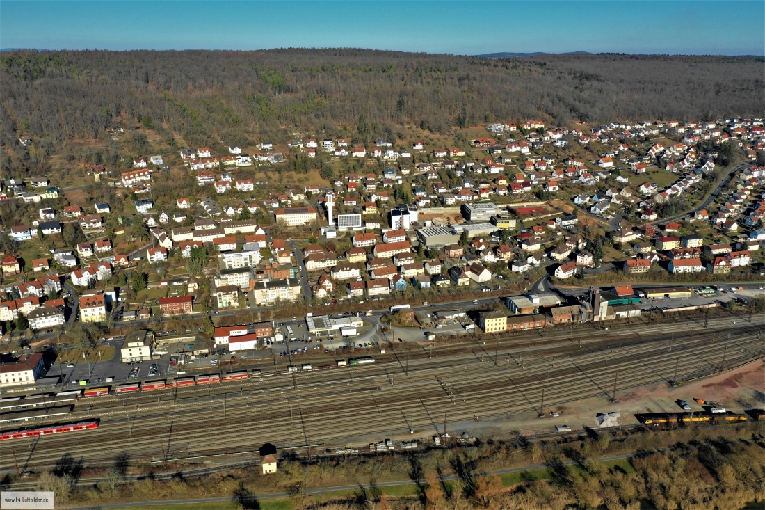
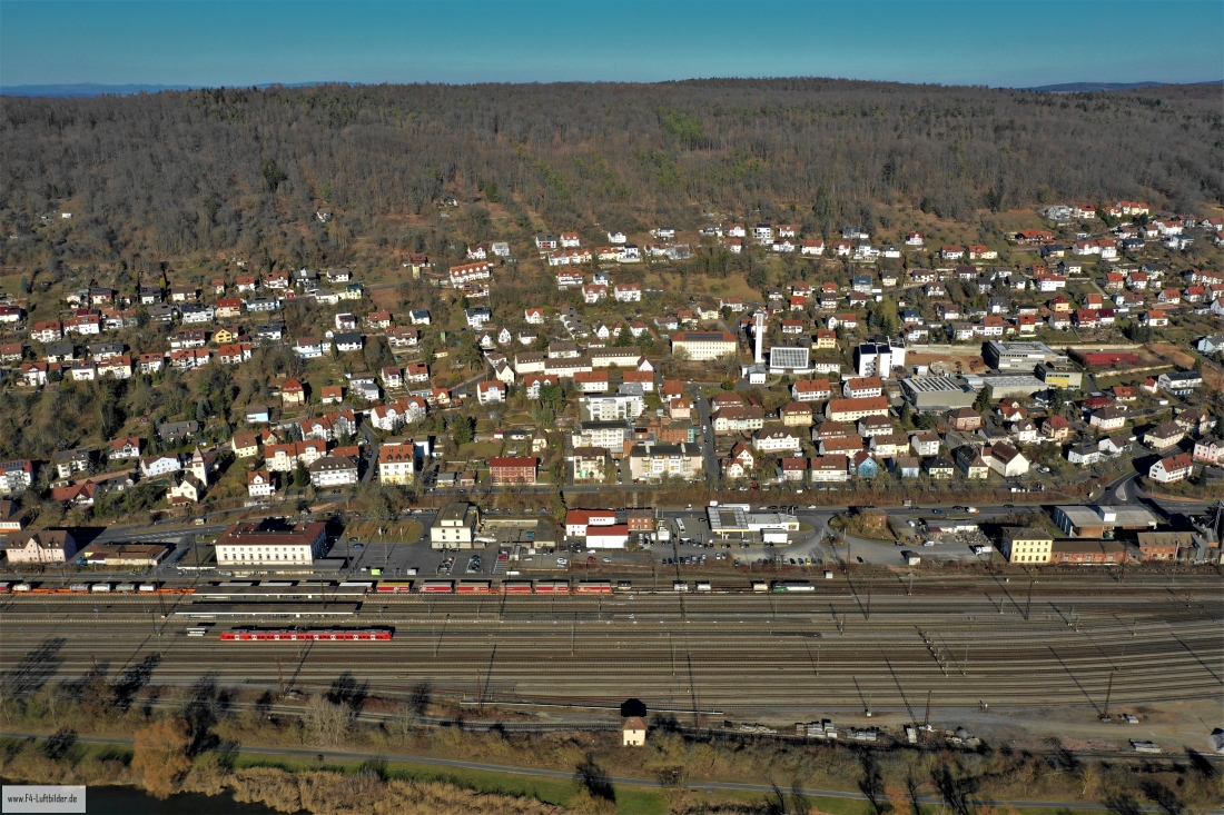
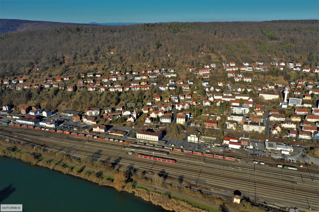
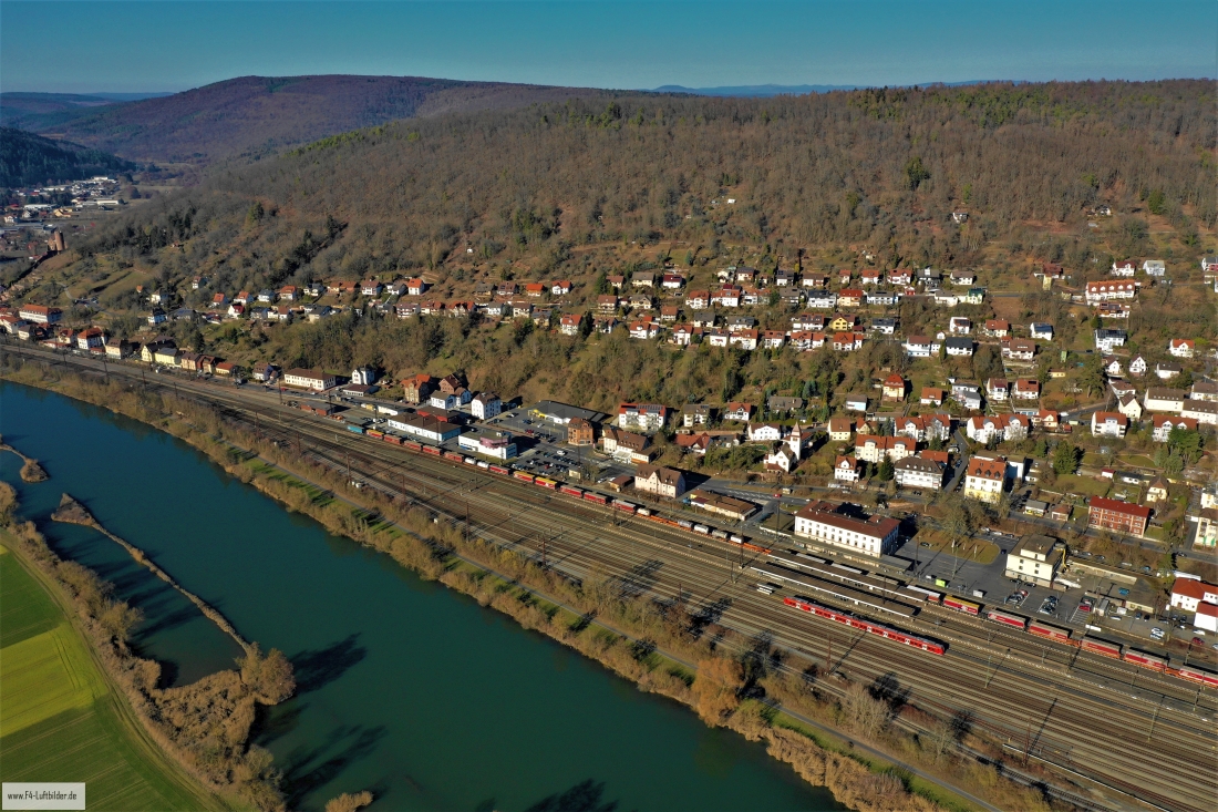
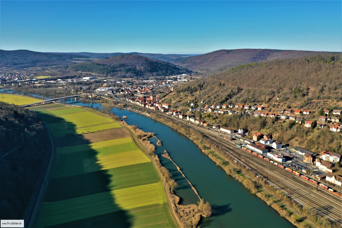
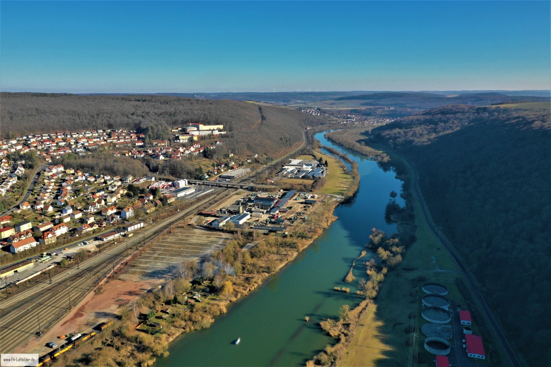
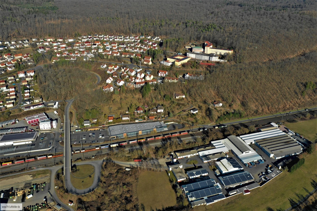
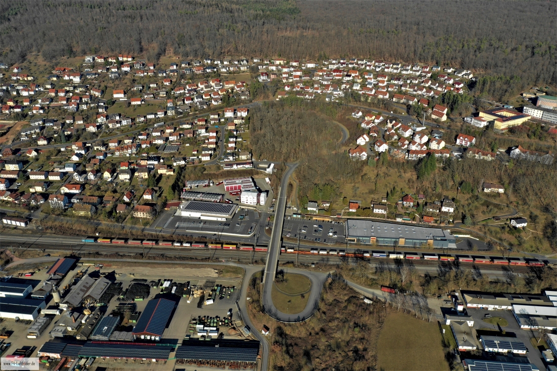

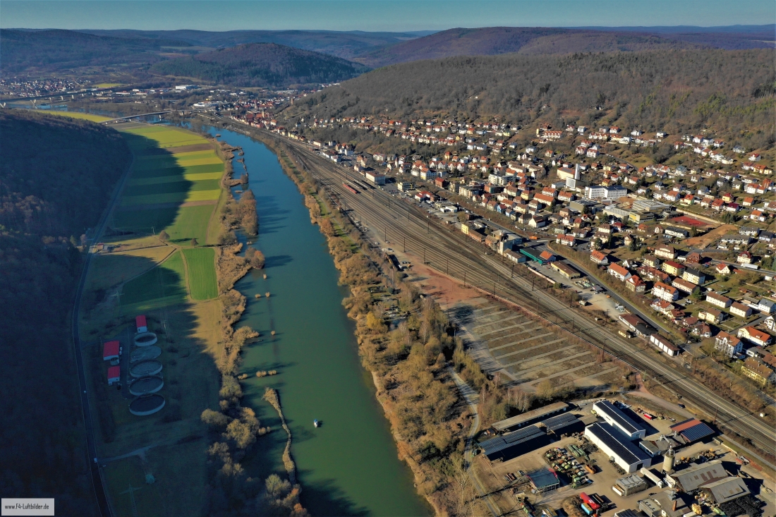
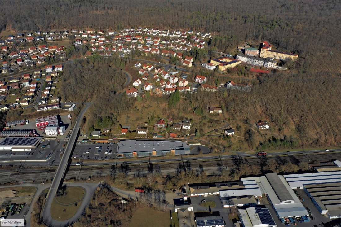
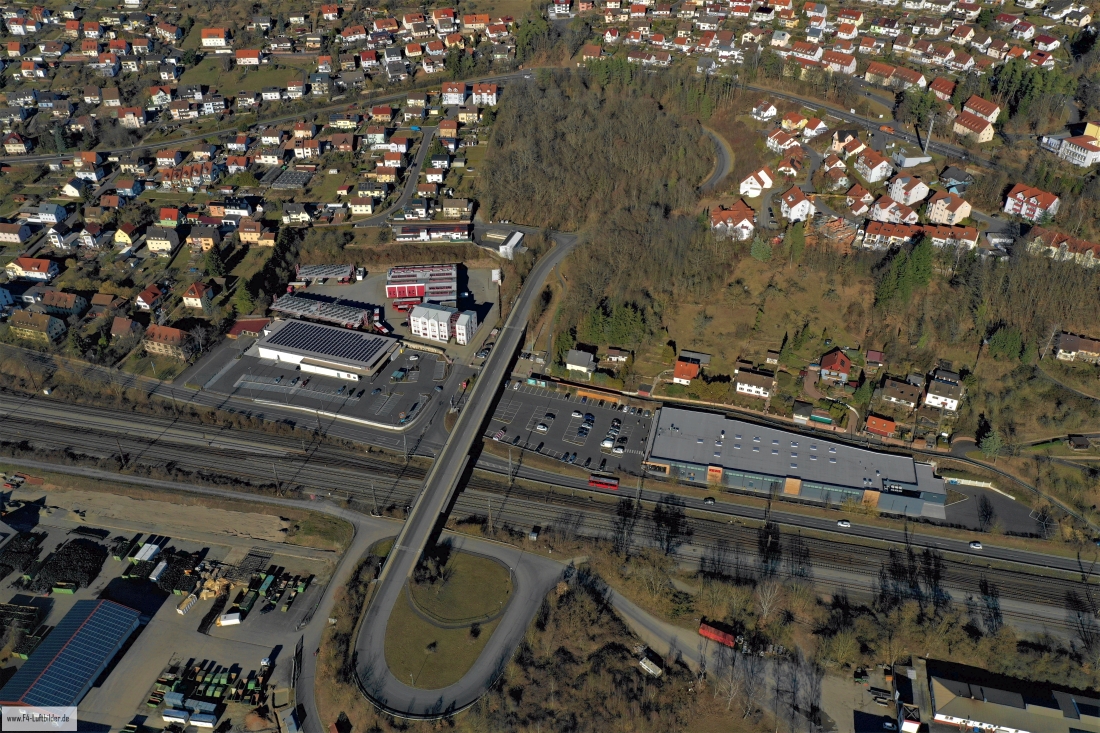
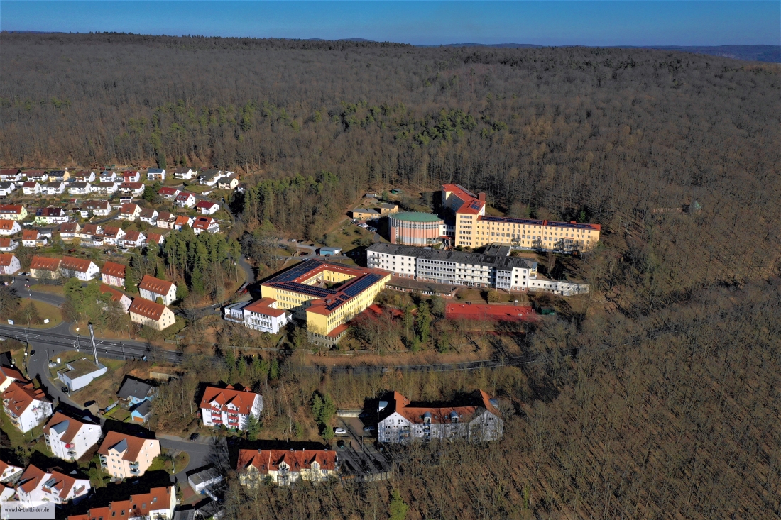
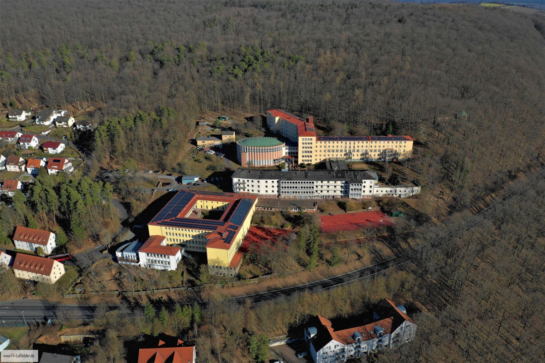
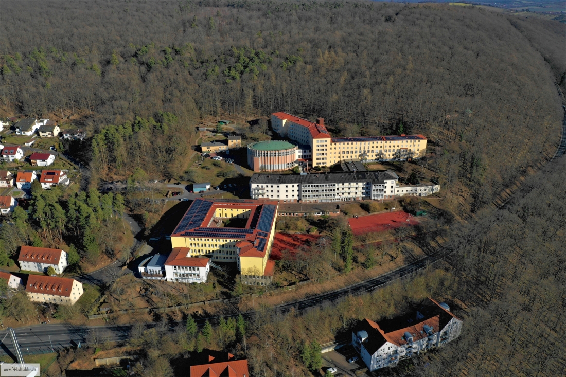
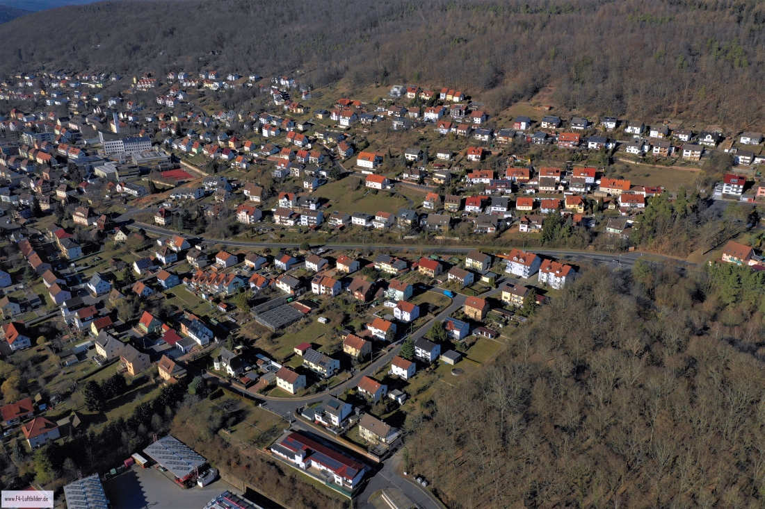
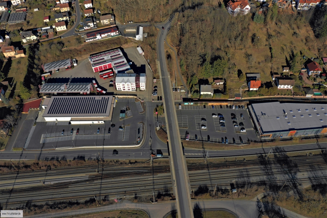
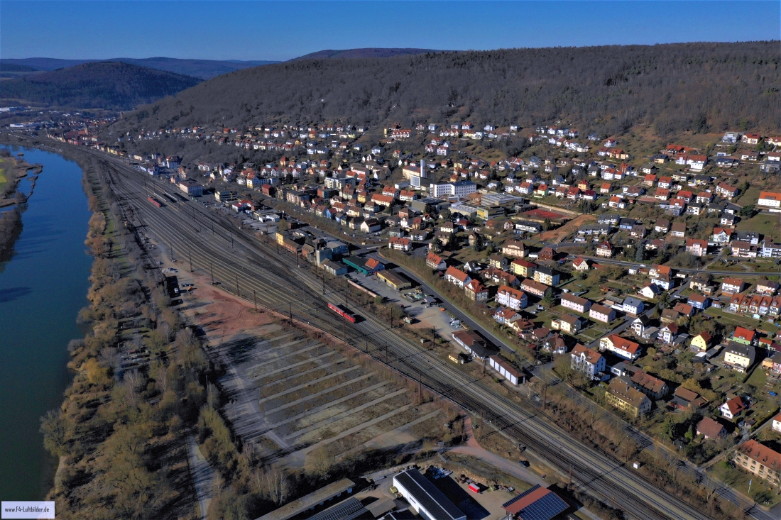
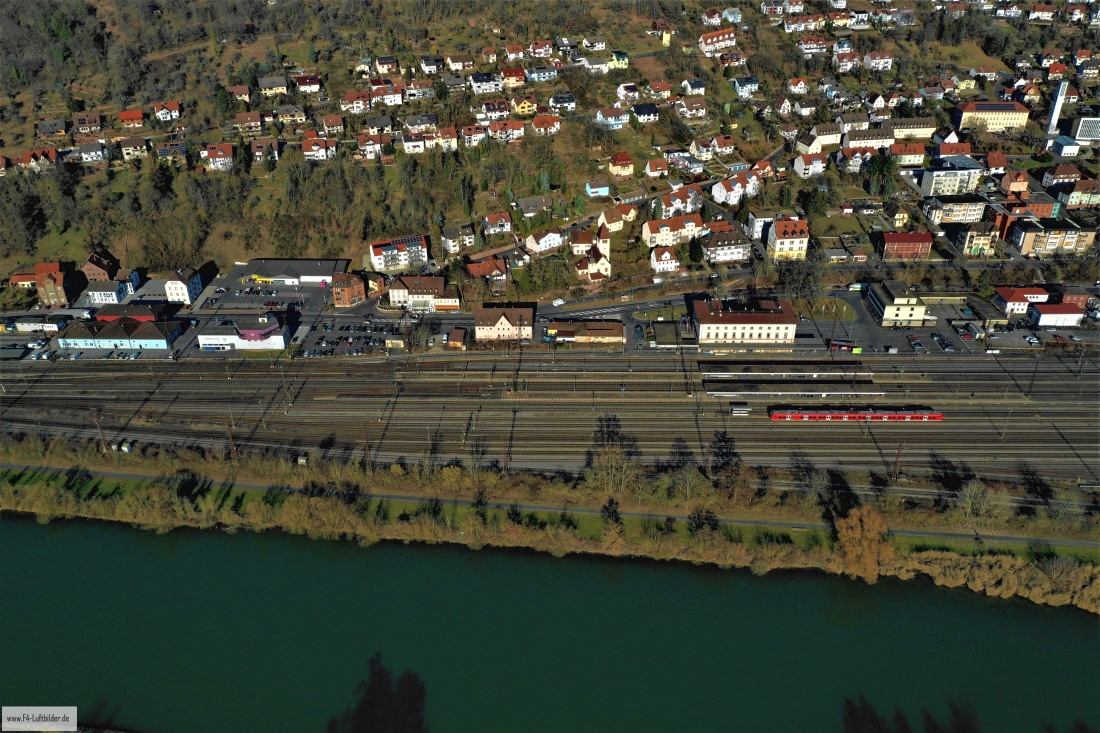
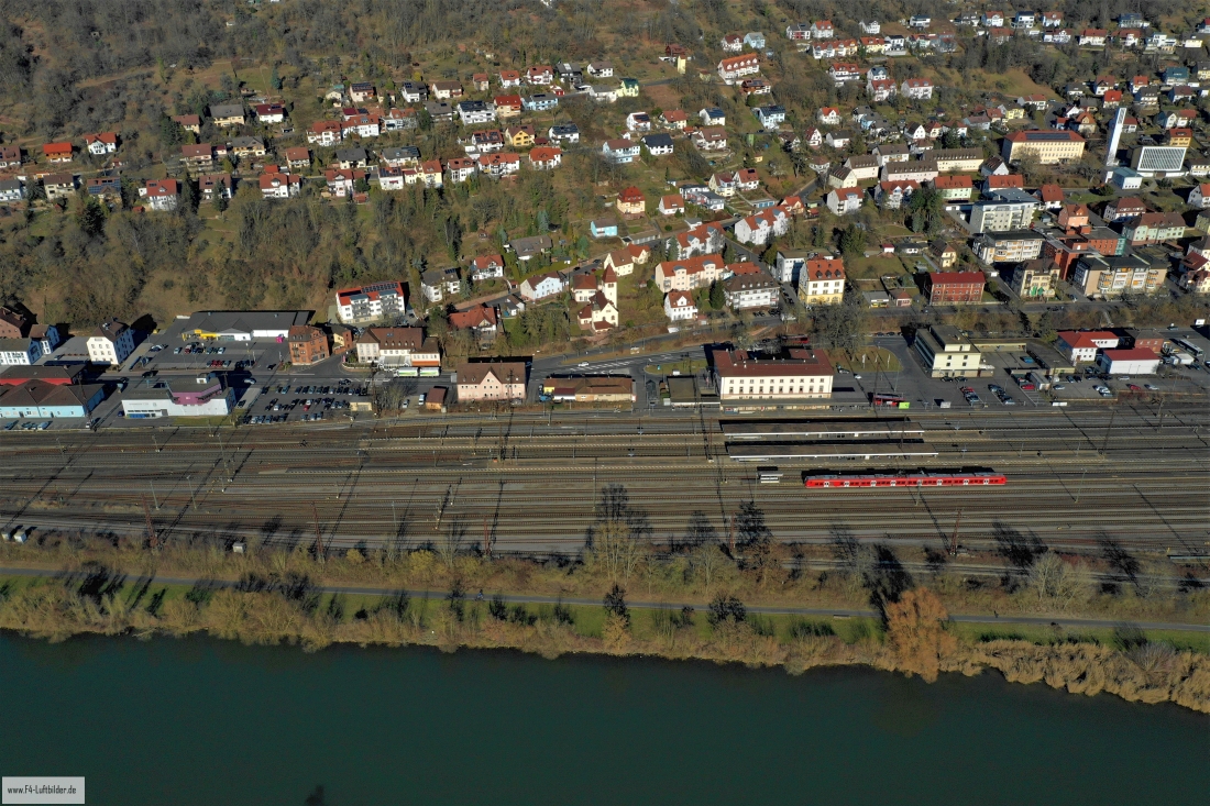
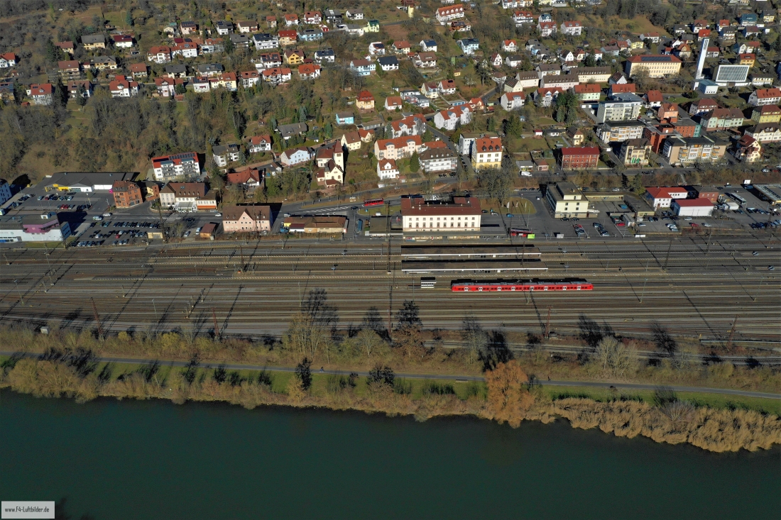
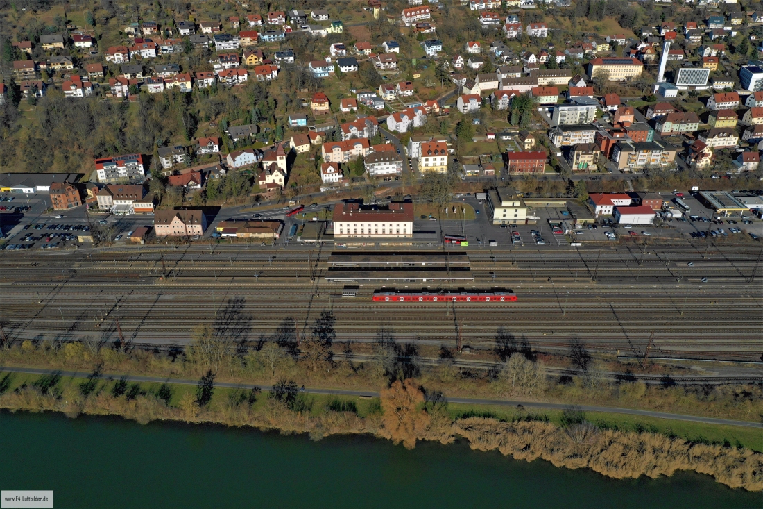
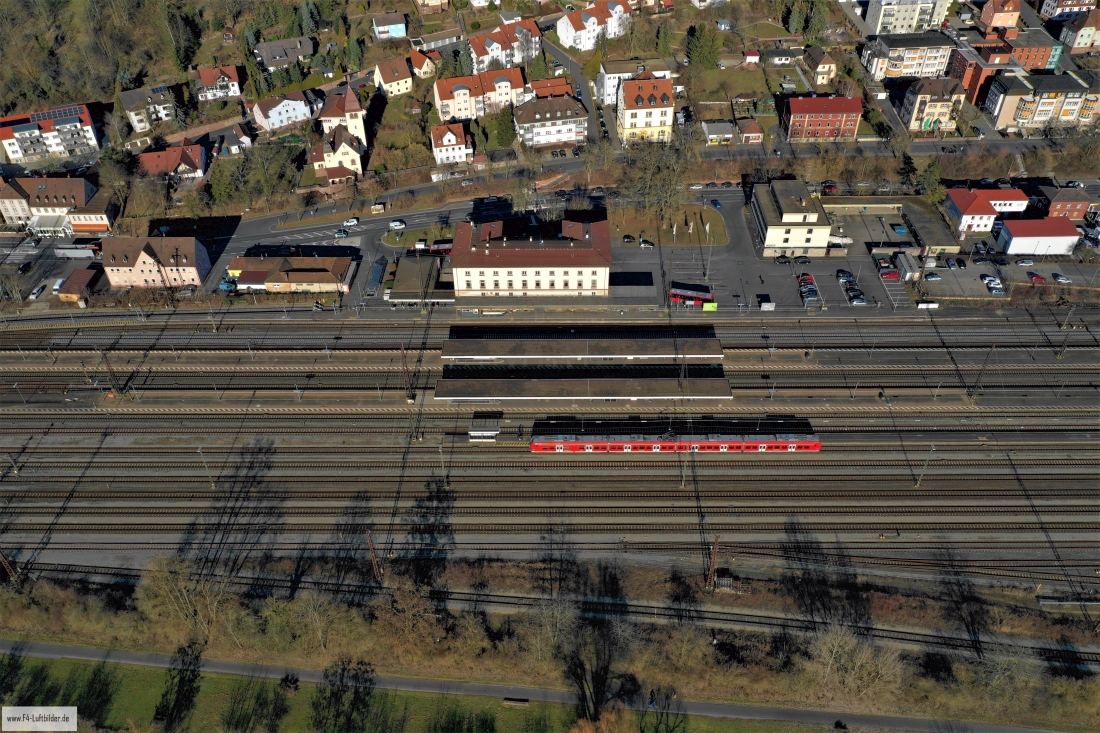
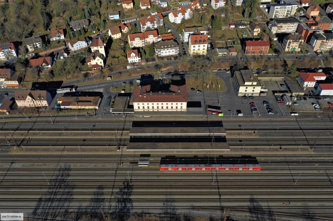
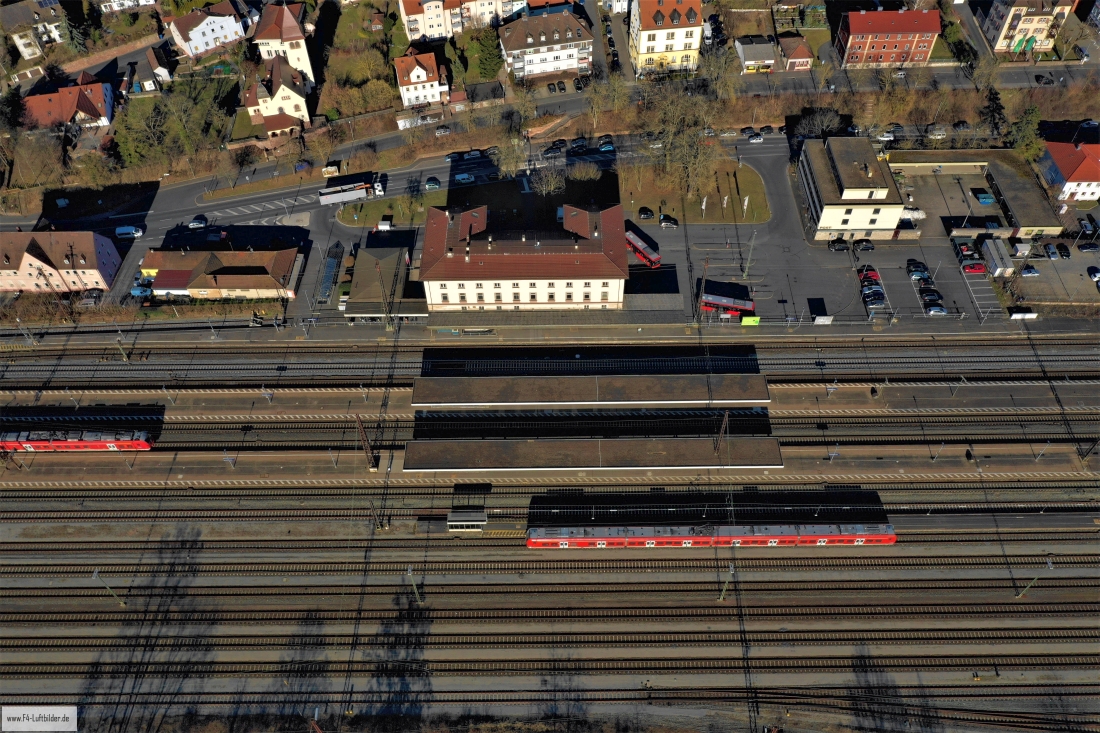
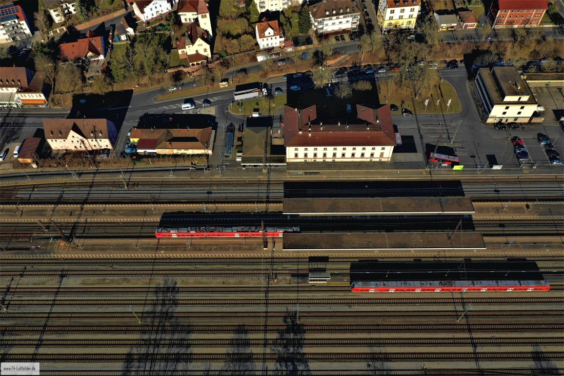
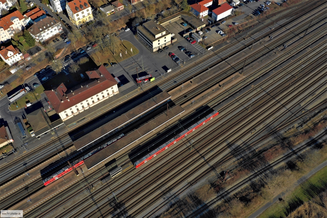
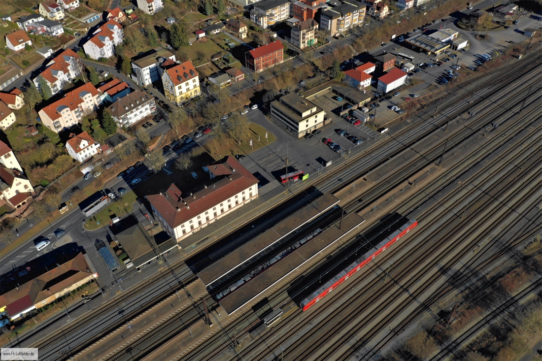
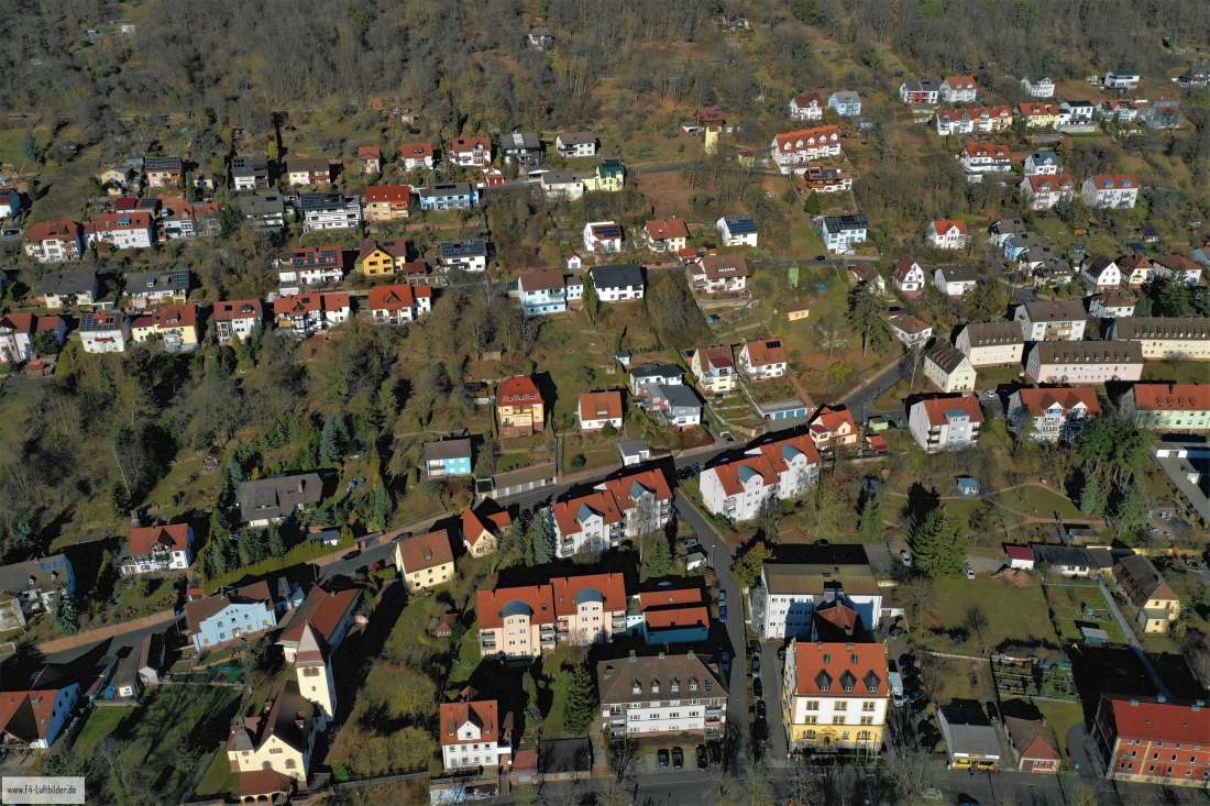
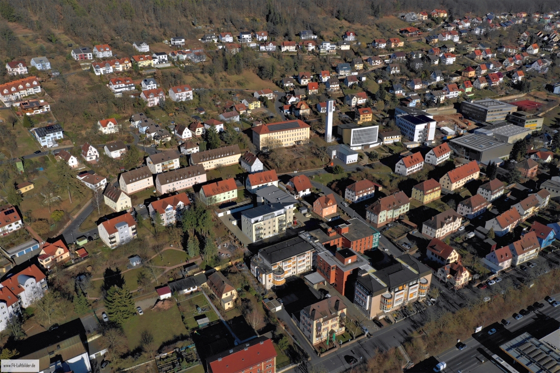
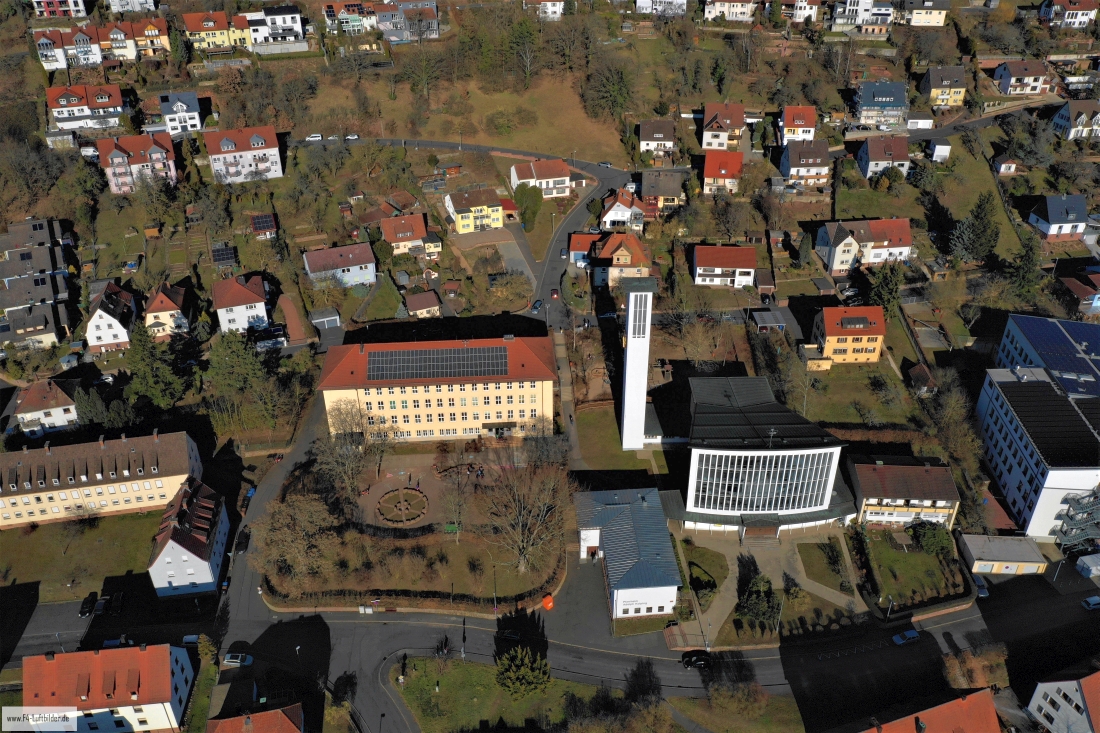
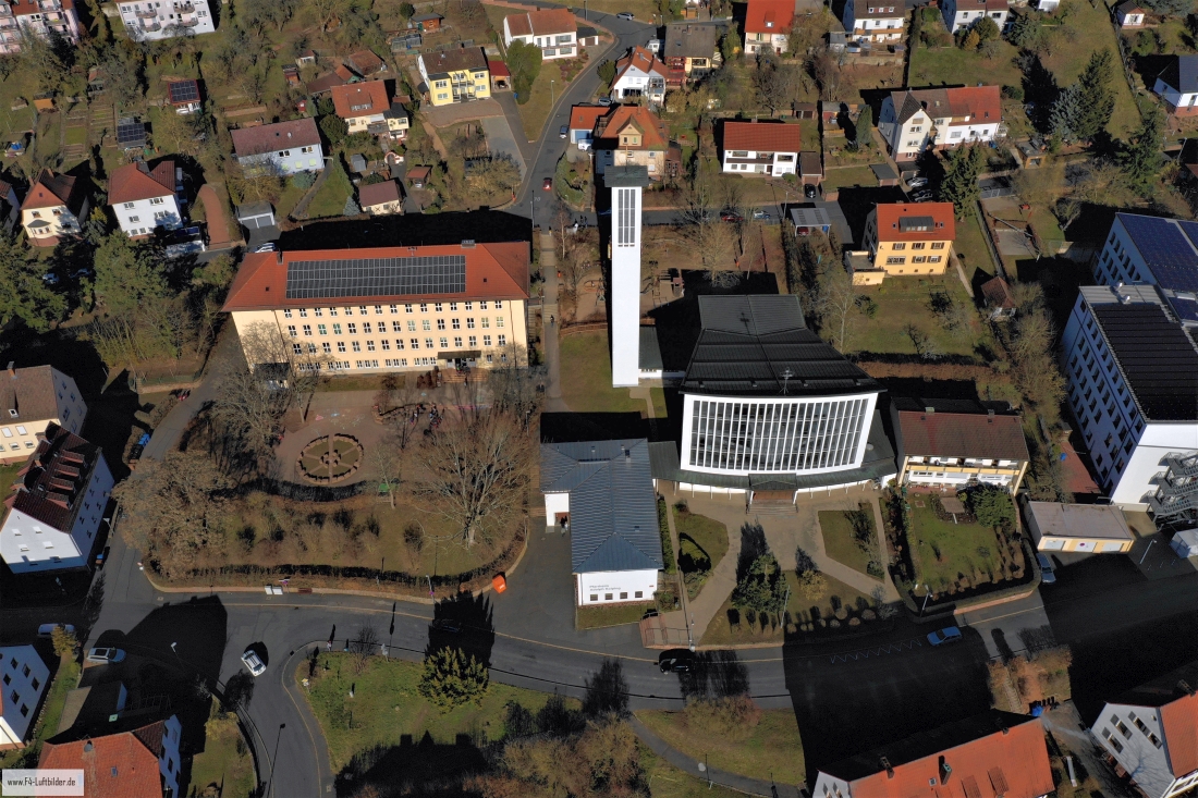

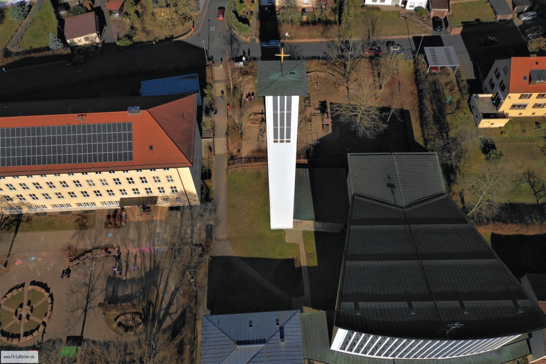
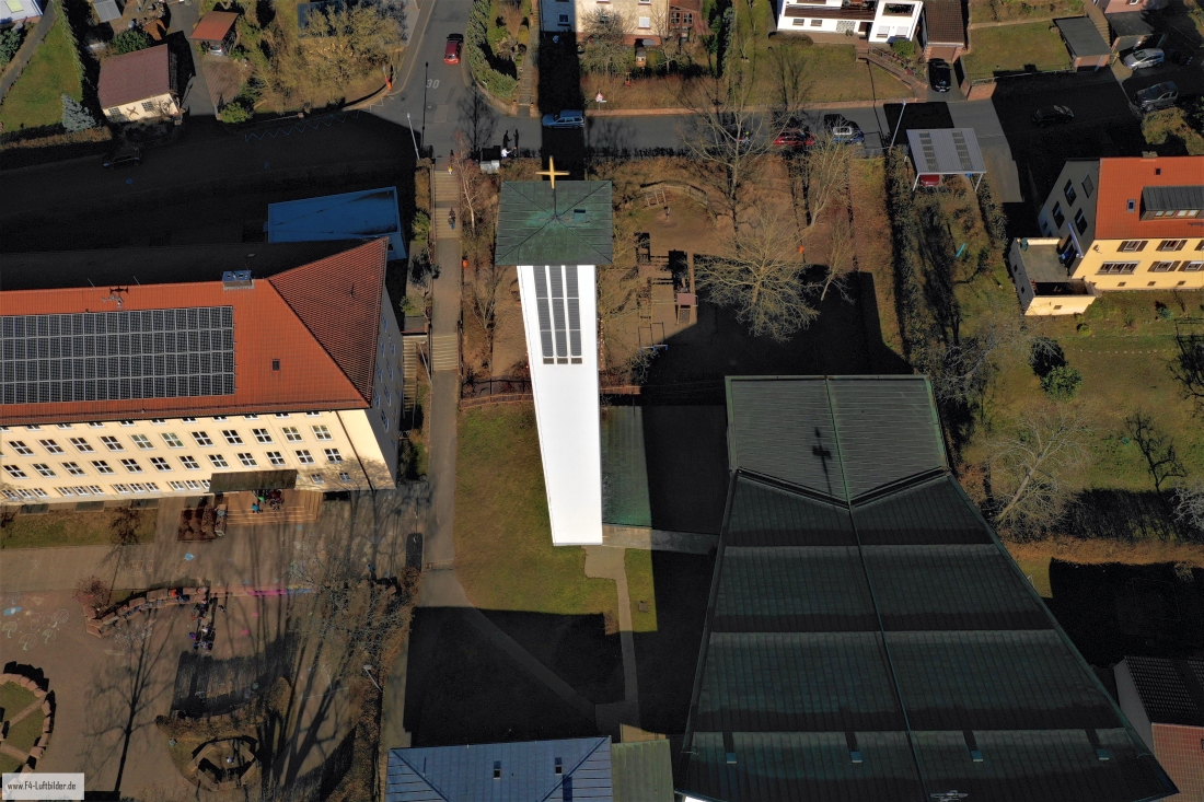

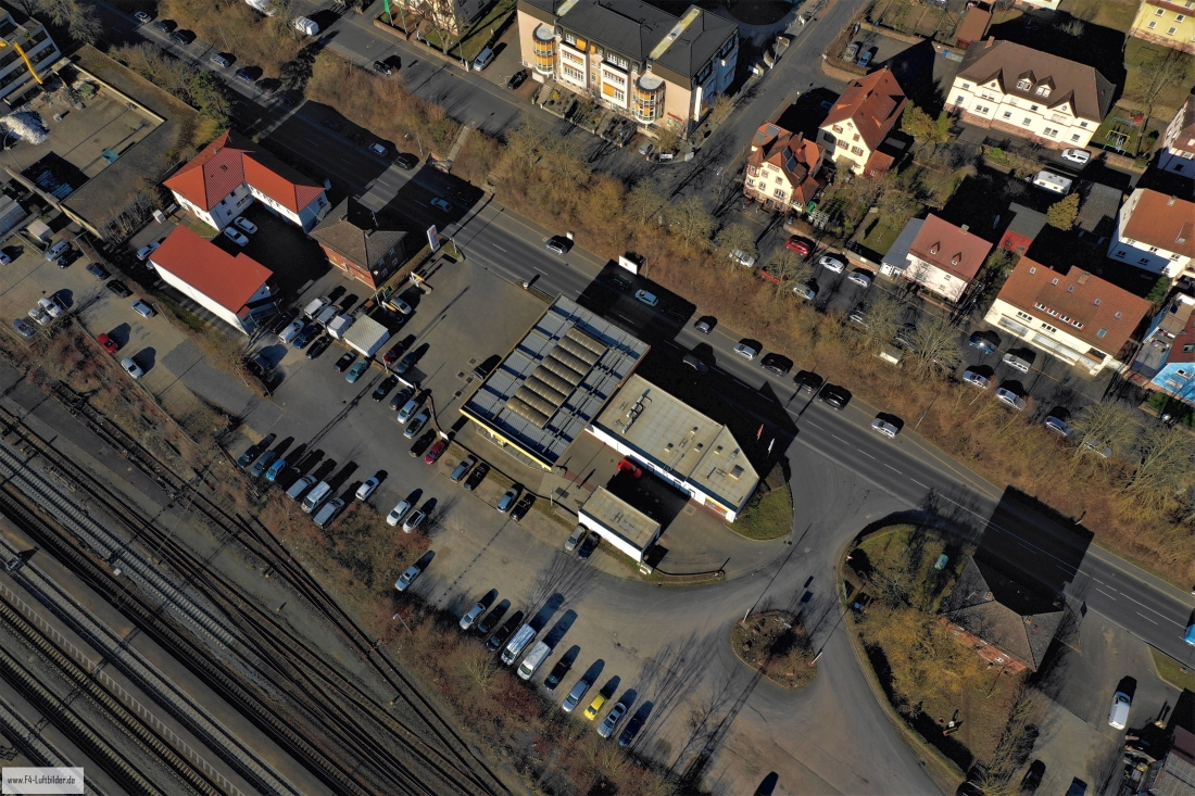
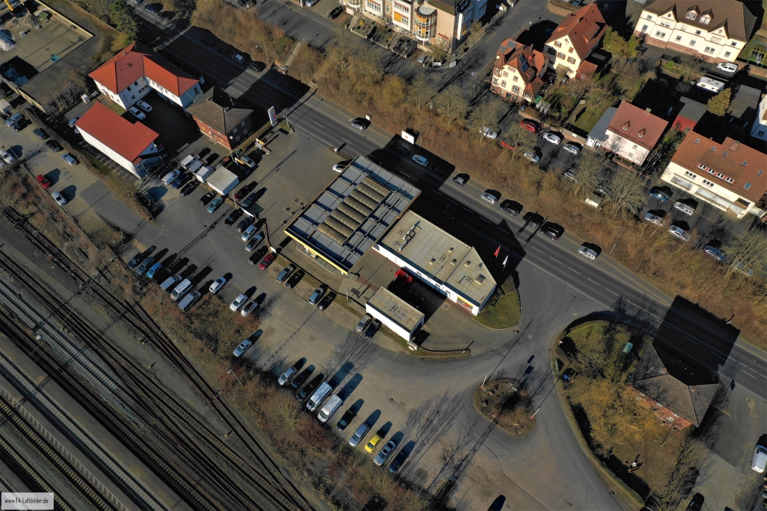
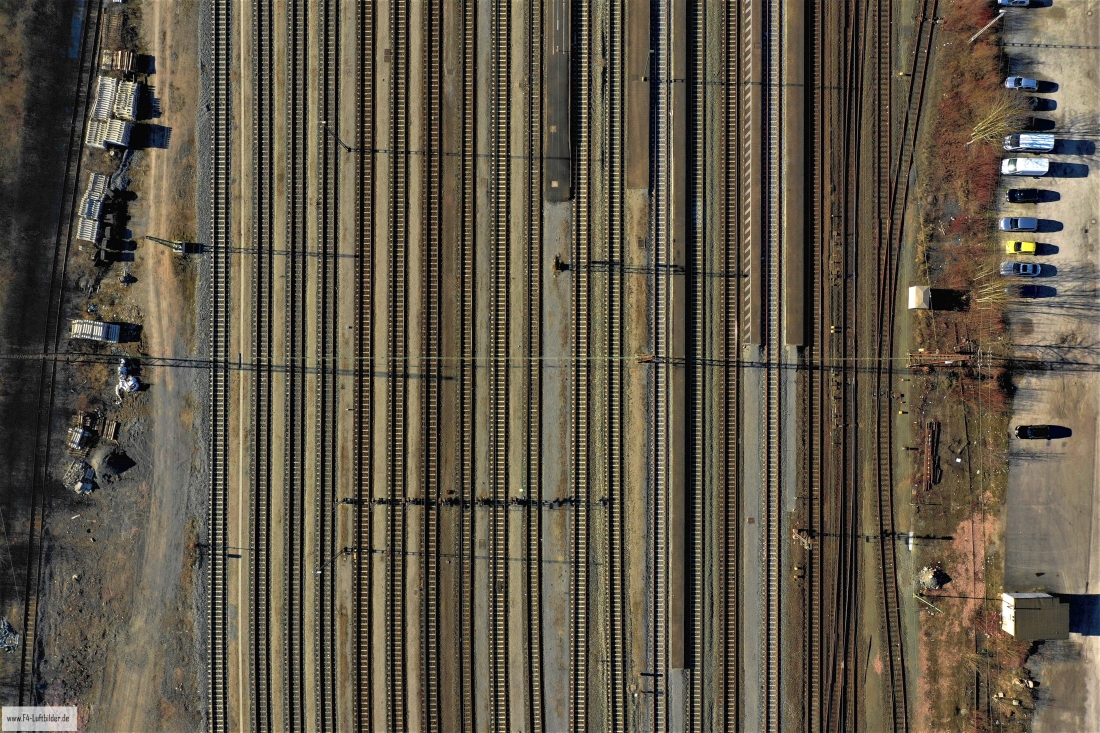
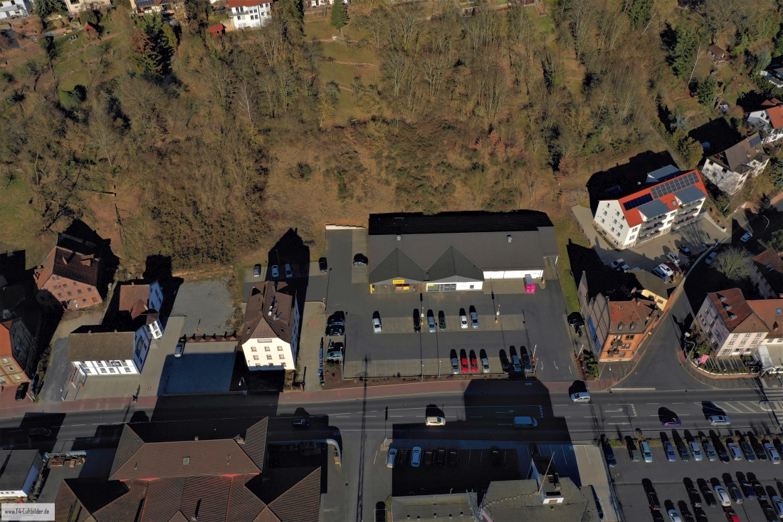
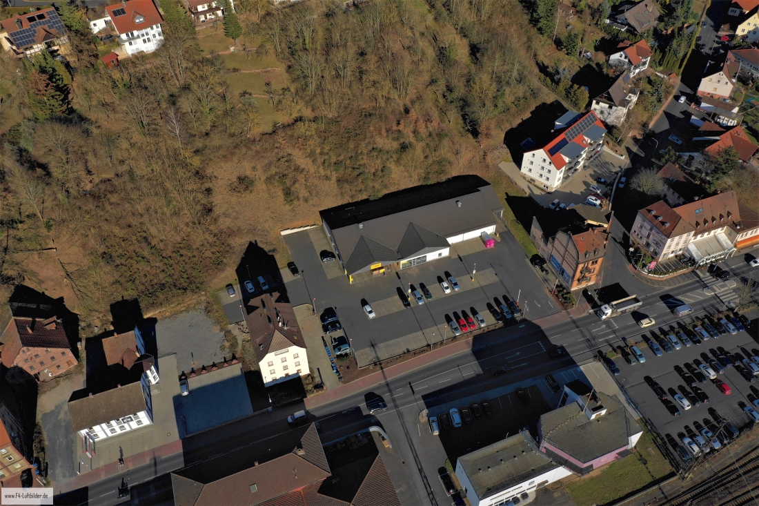
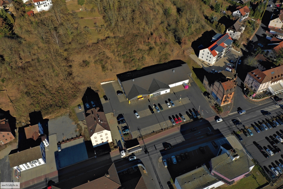
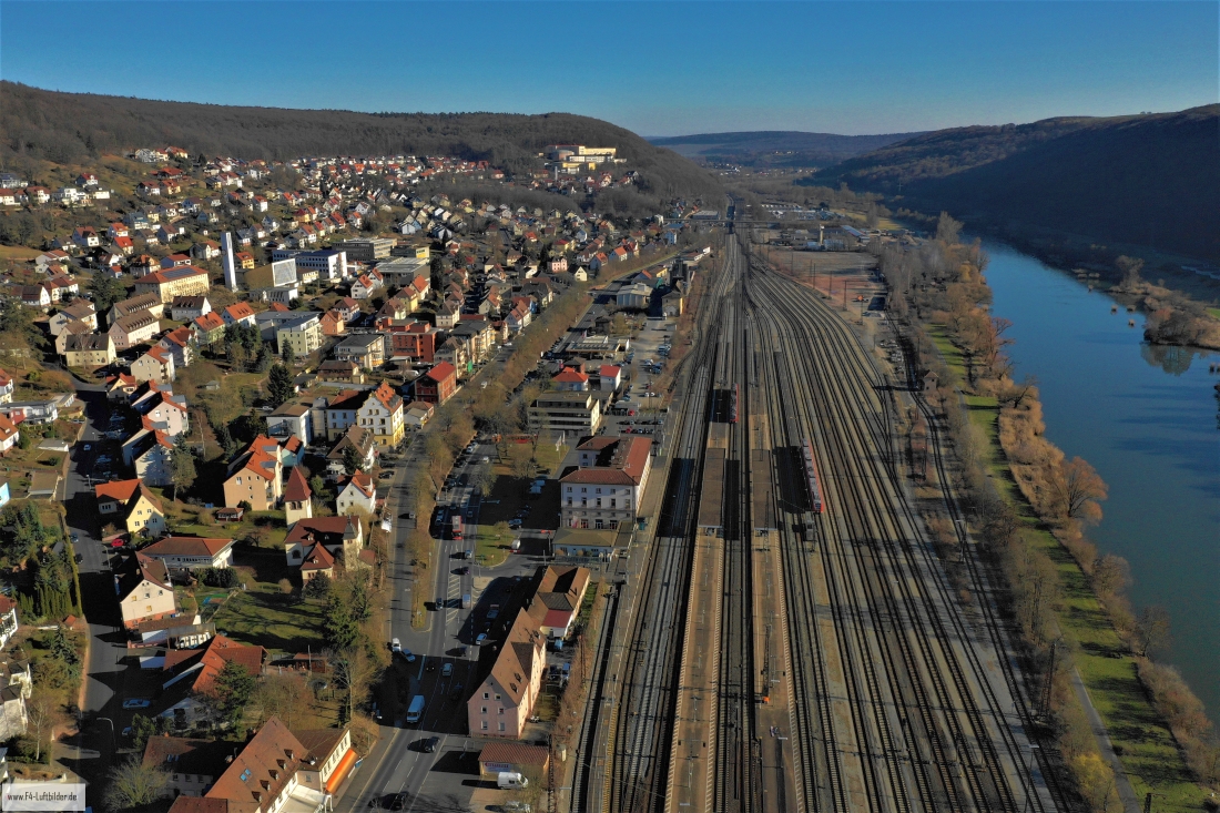
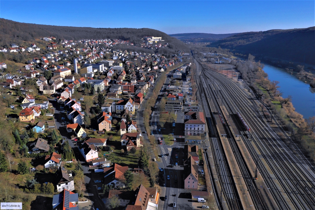
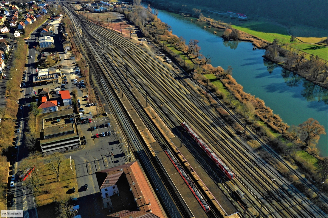
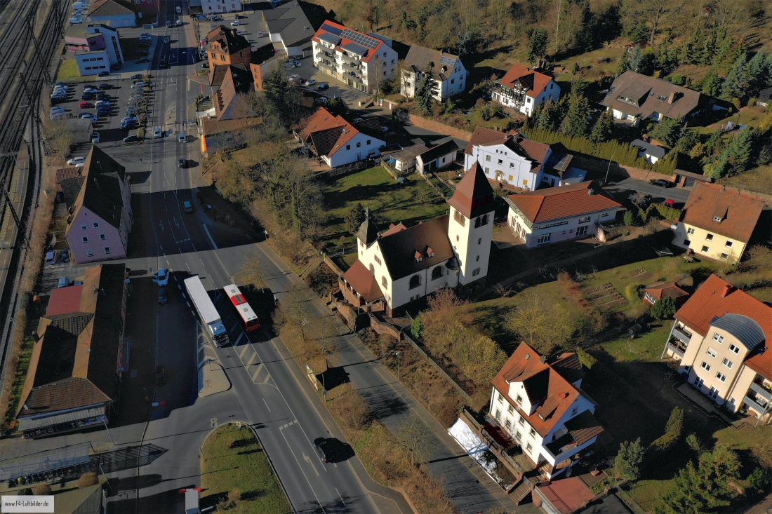
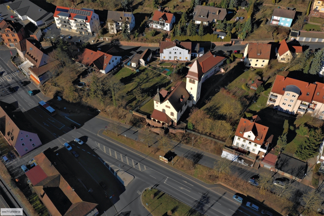
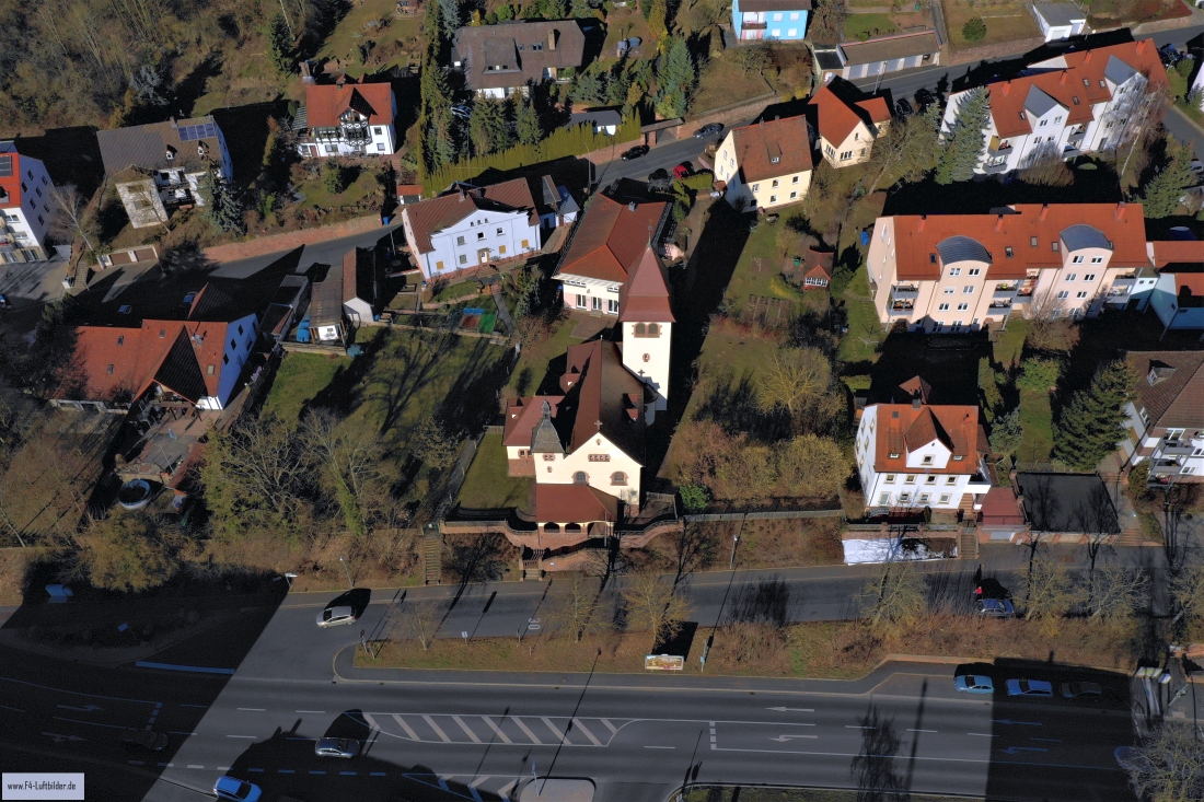
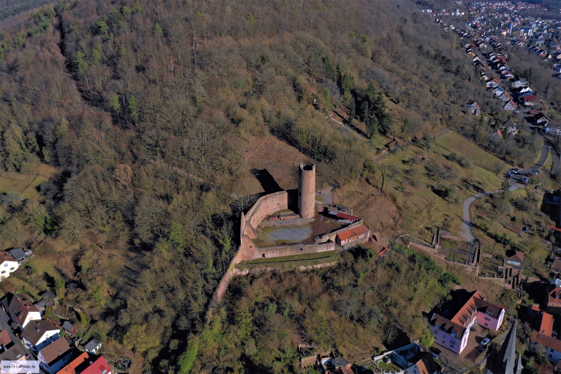
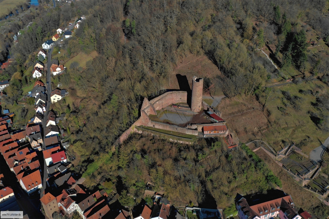
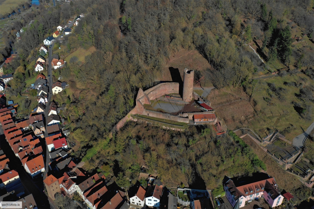
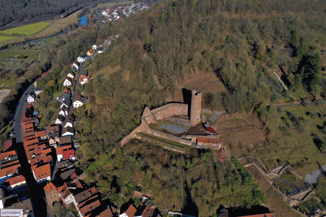
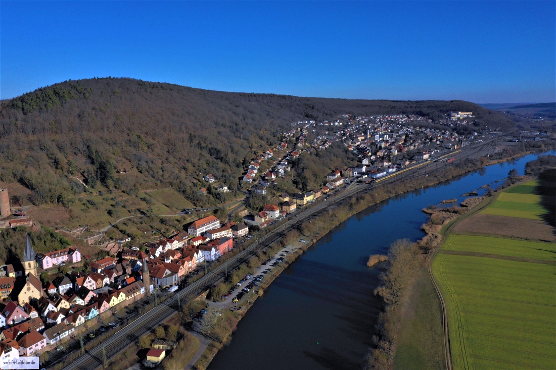
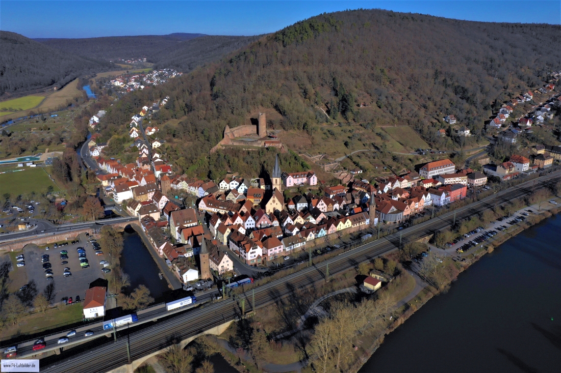
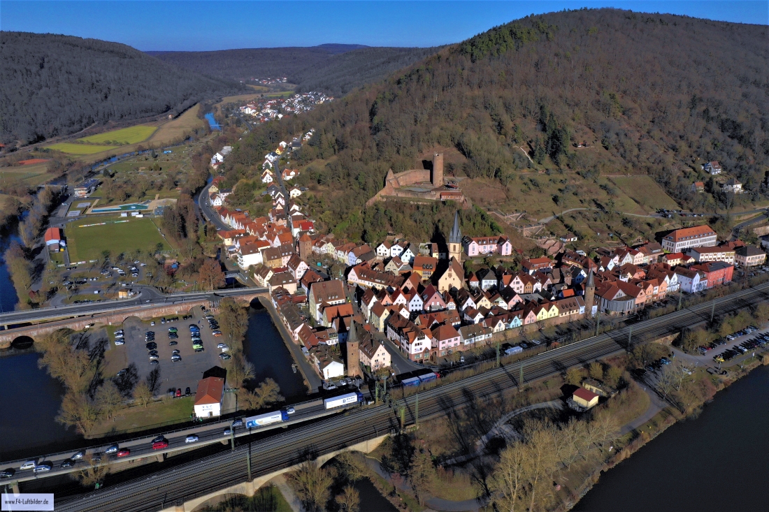
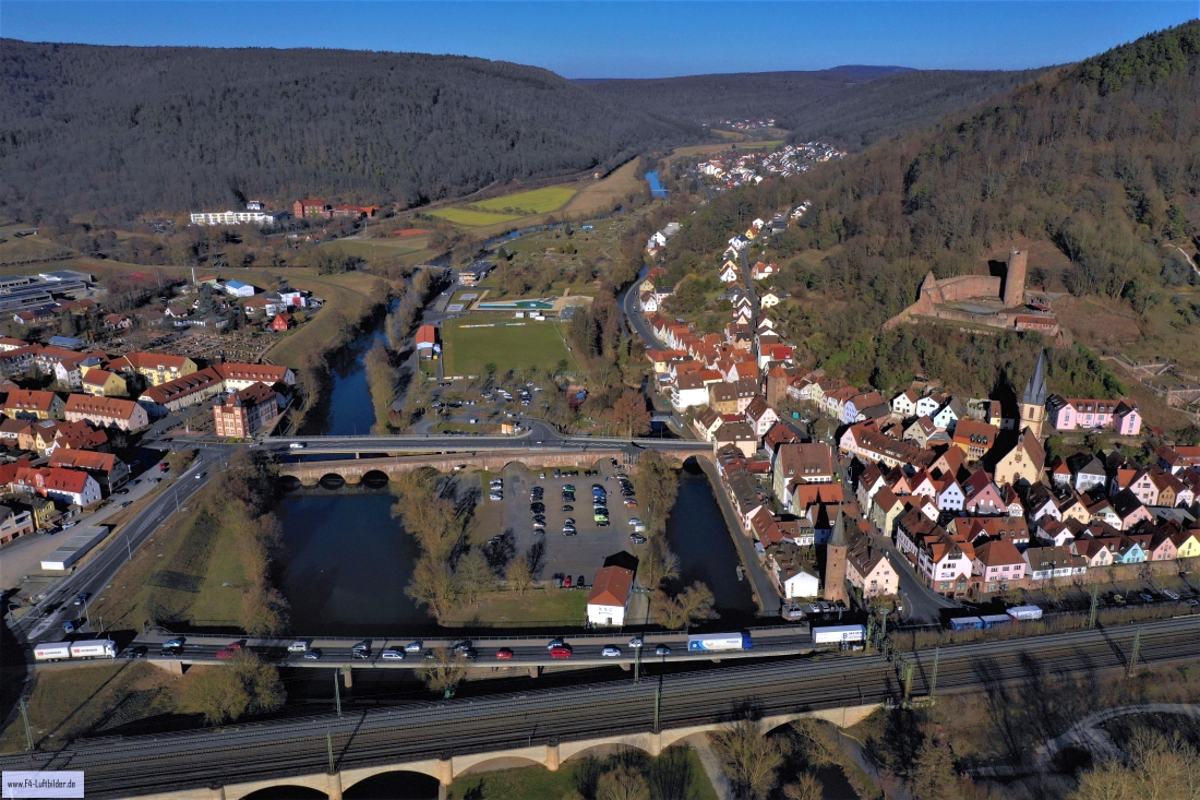
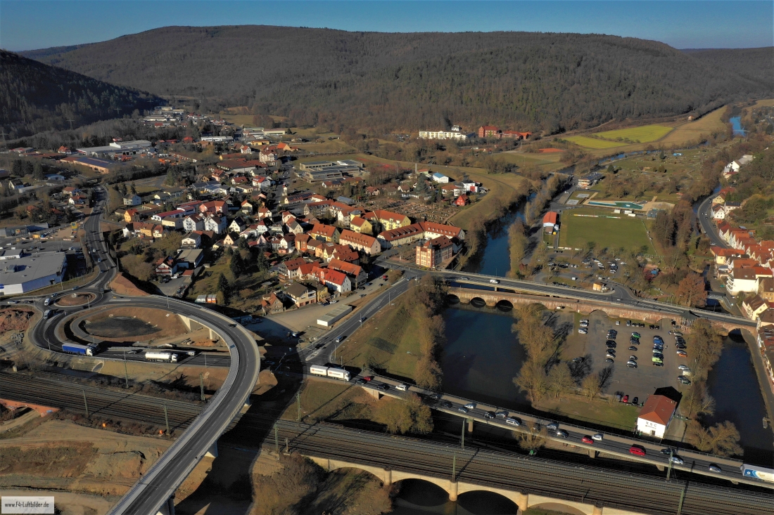
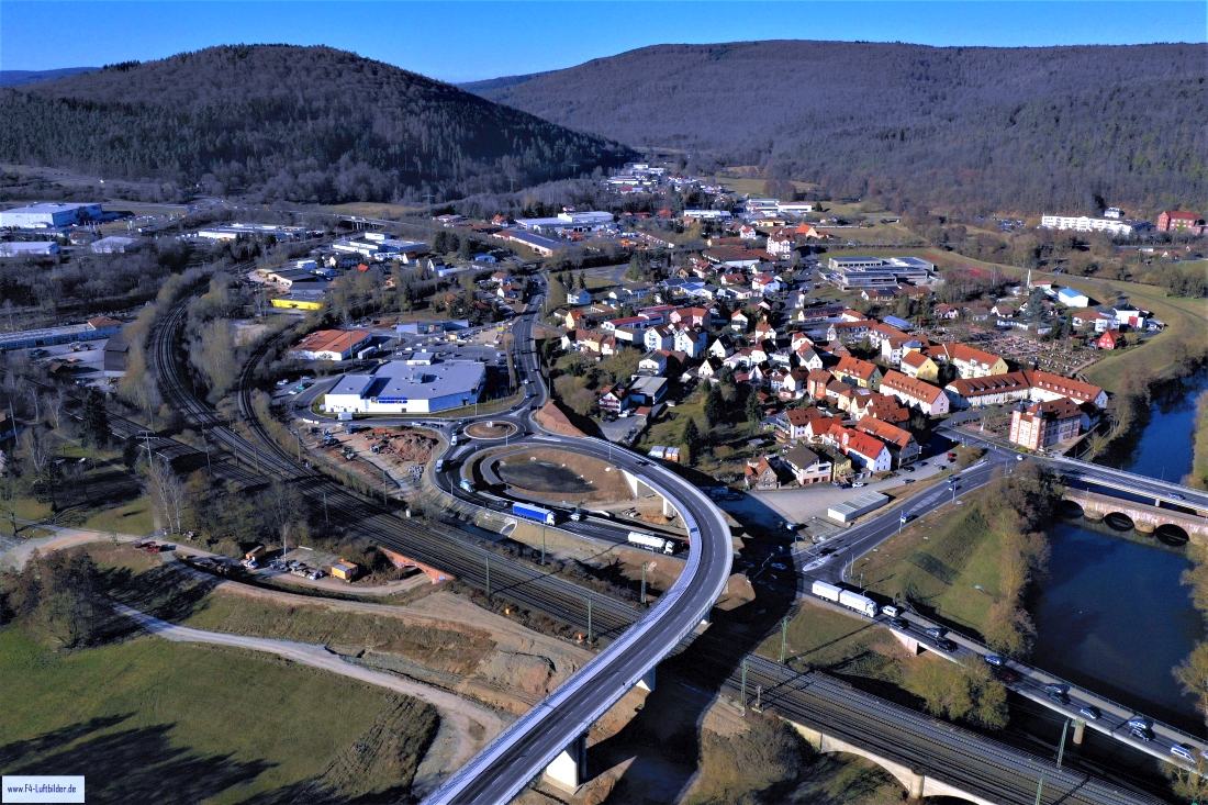
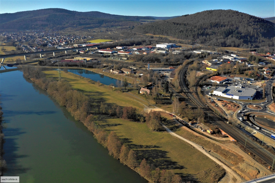
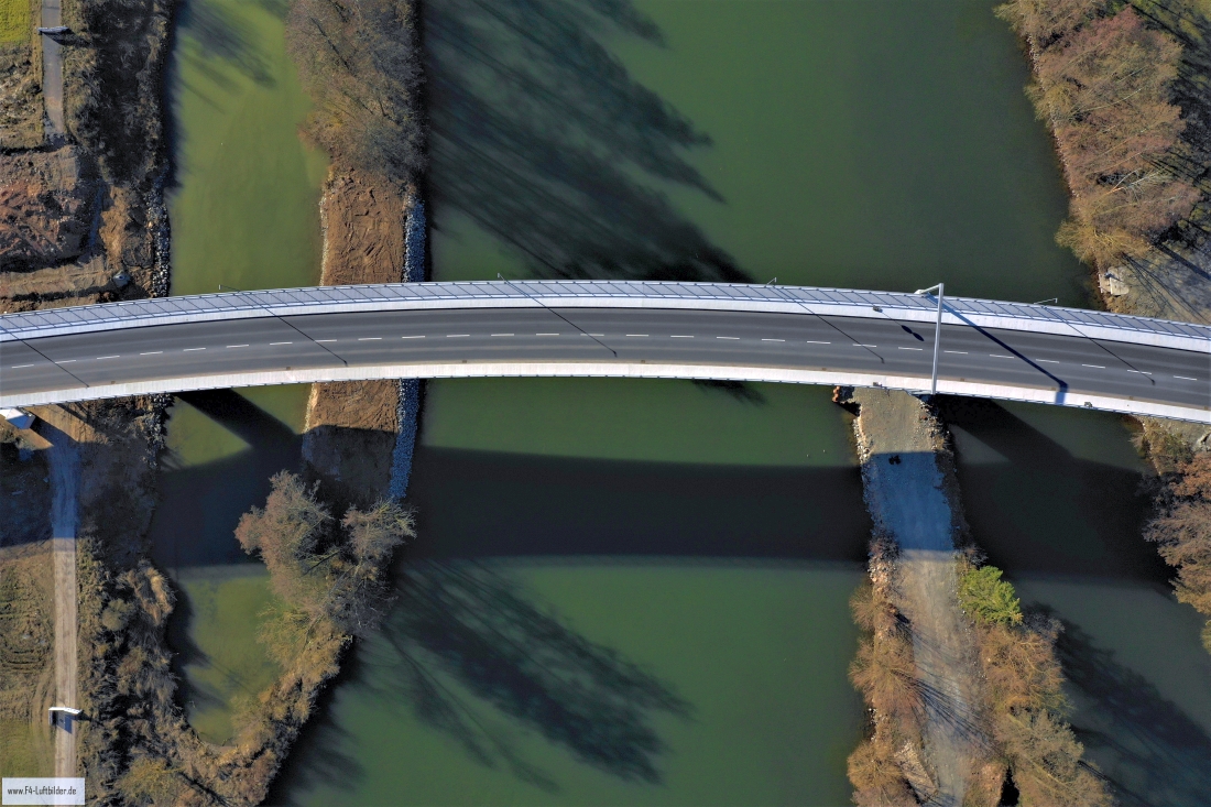
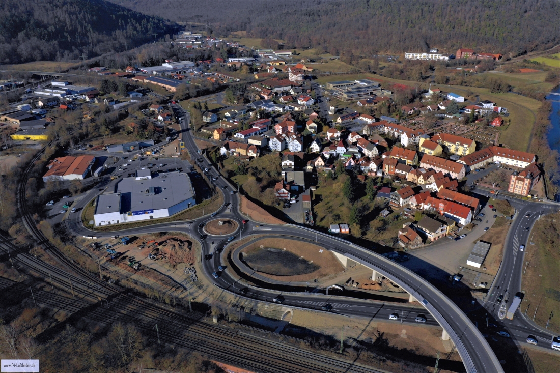
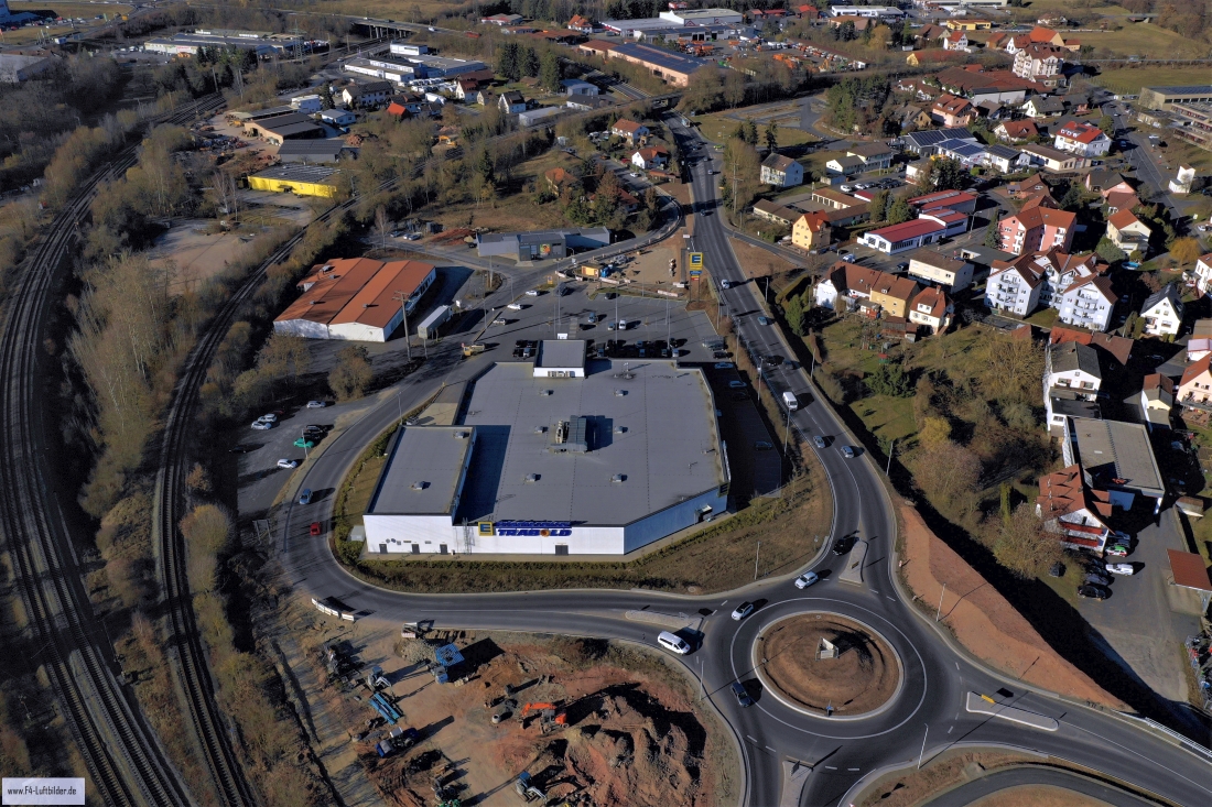
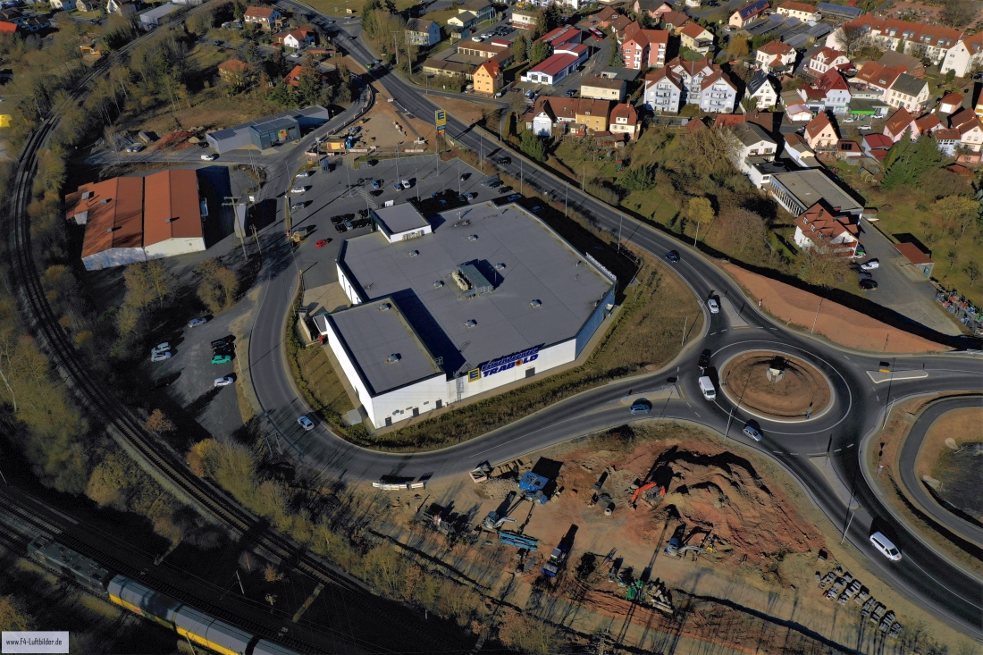
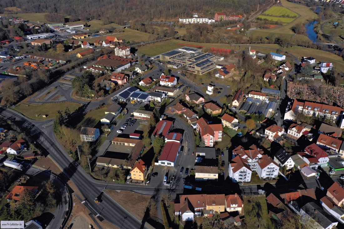
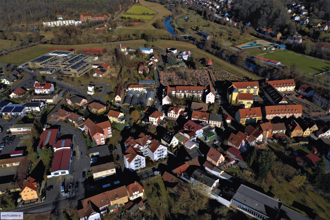
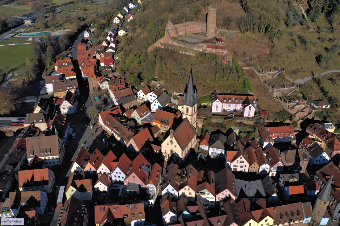
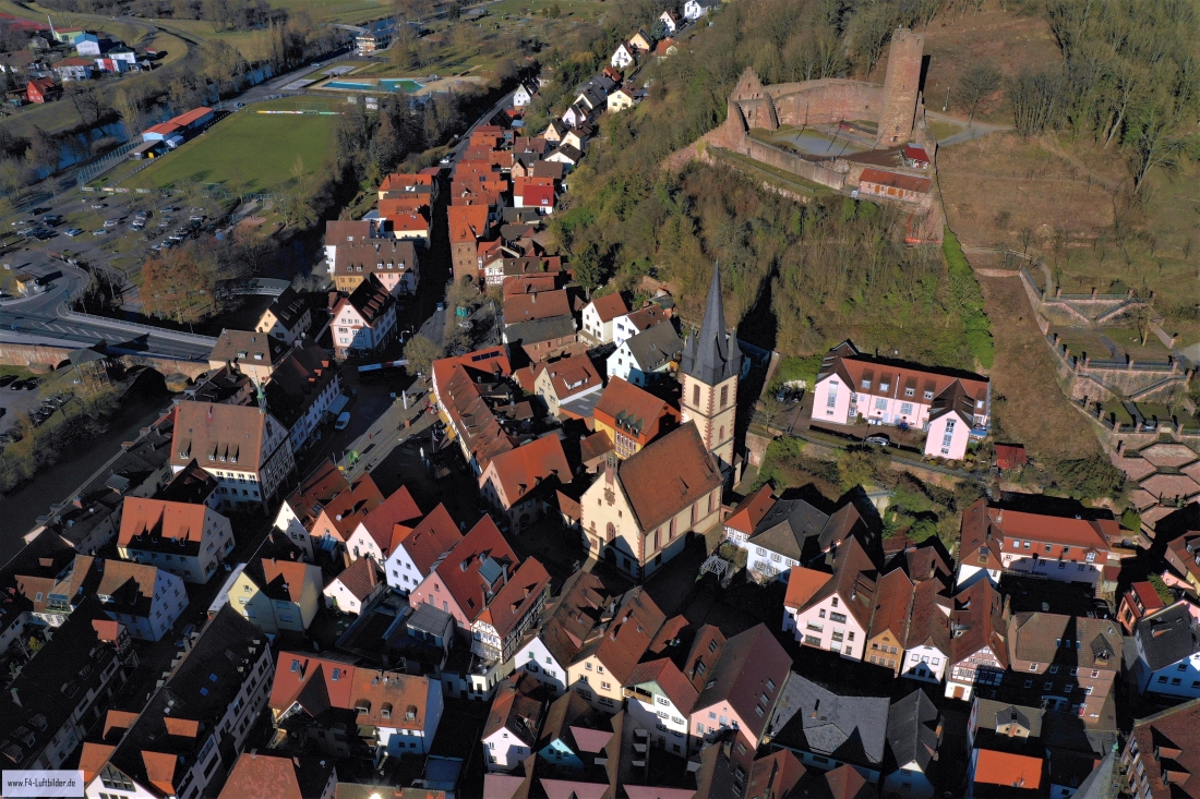
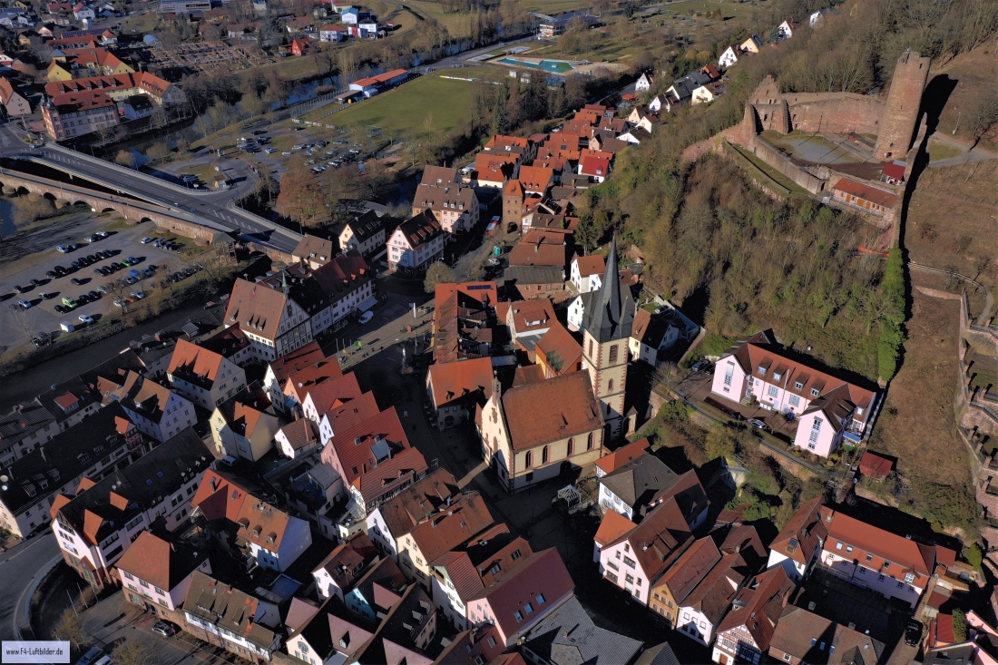
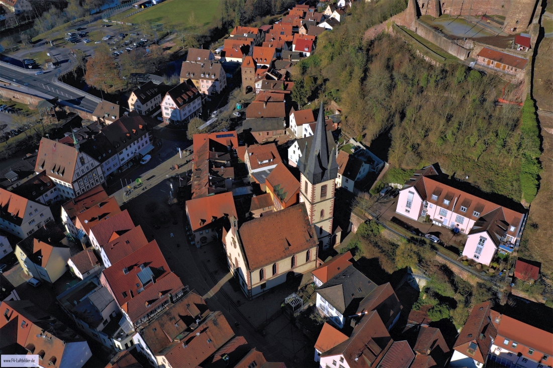
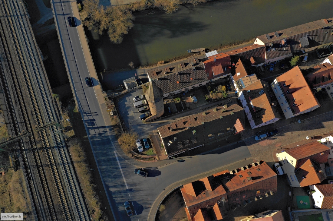
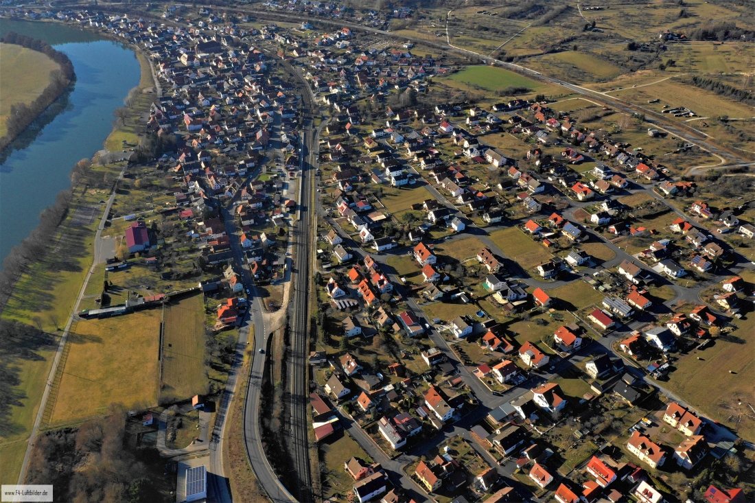
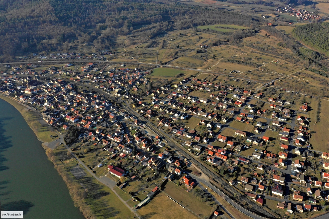
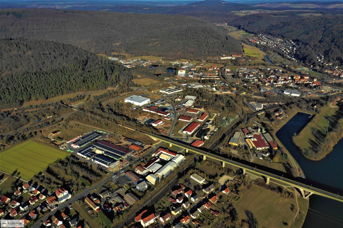
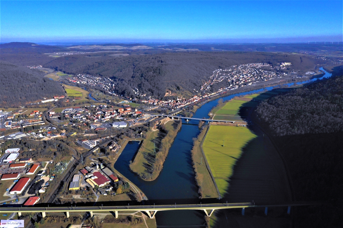
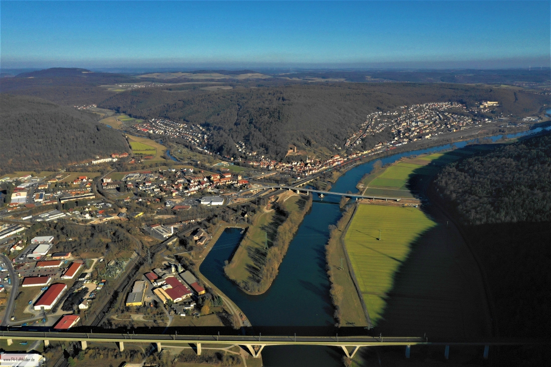
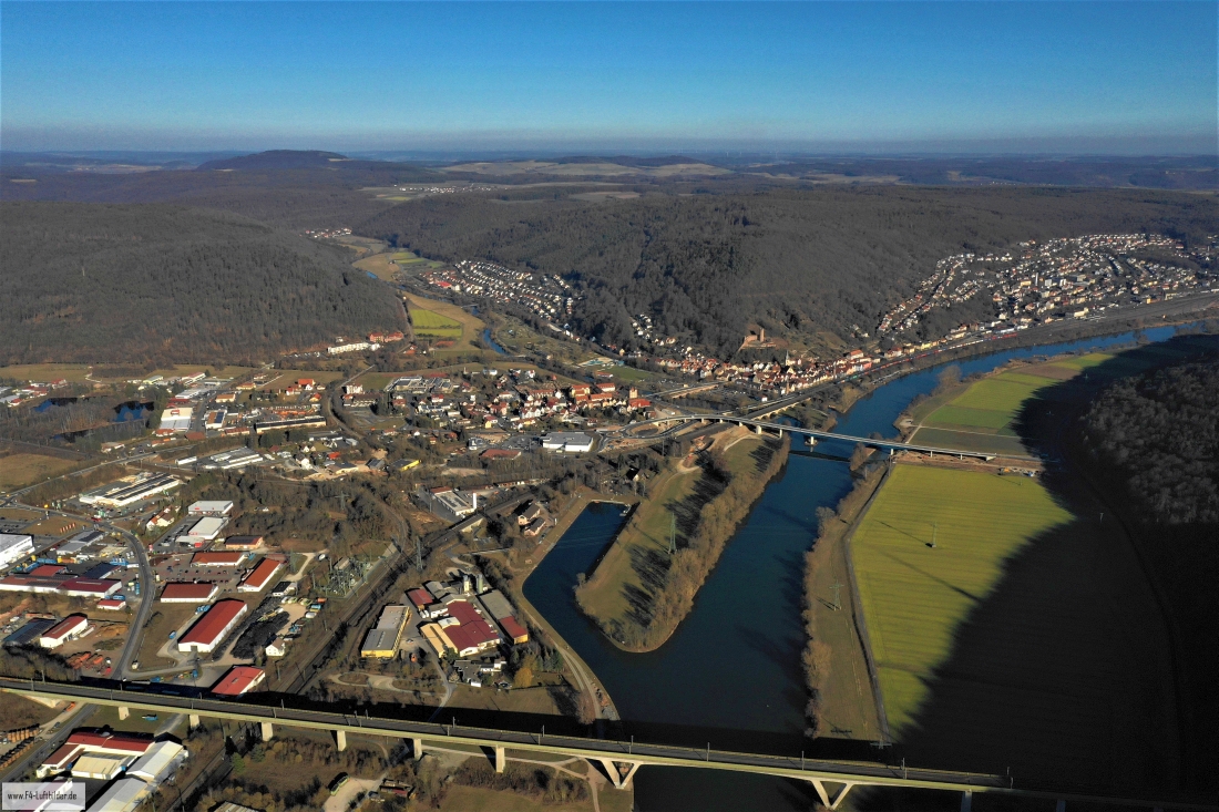
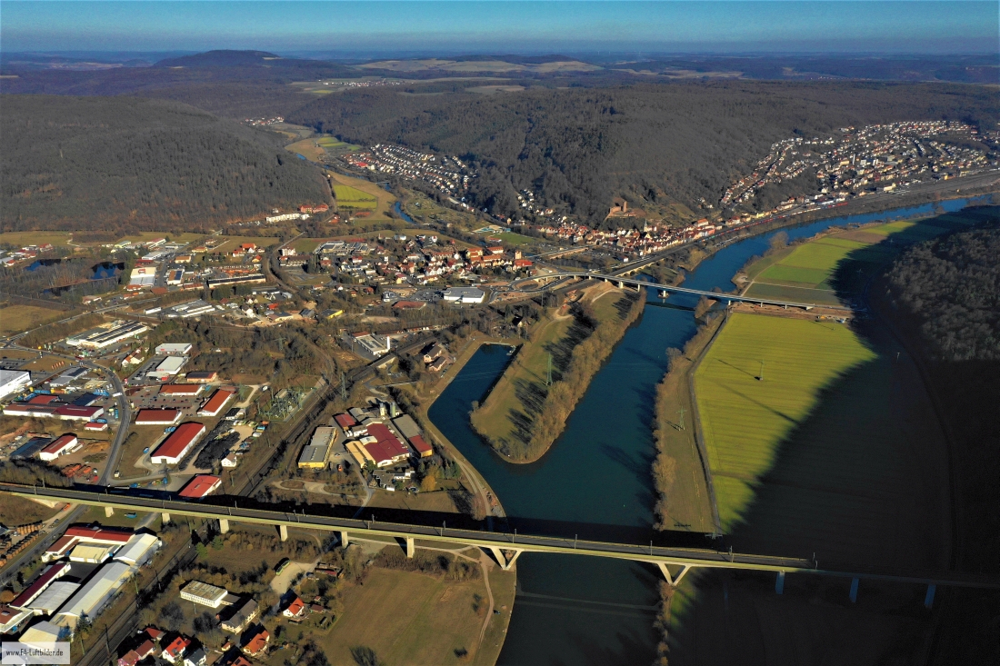
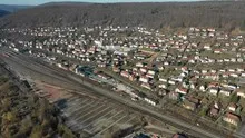
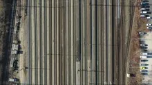
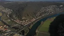
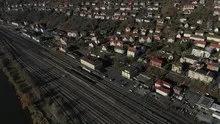
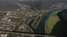
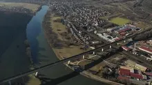
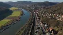
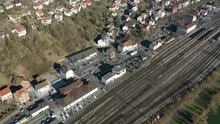
Gemünden between the tracks and the Main
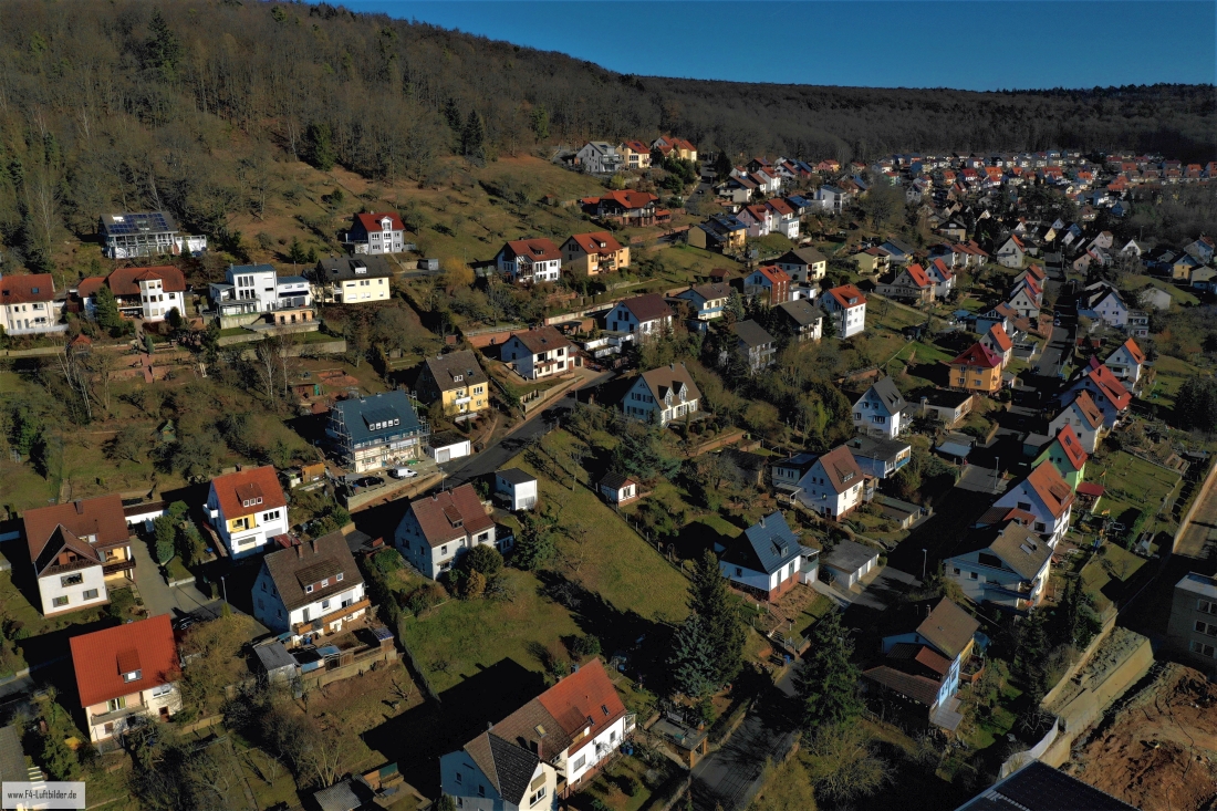
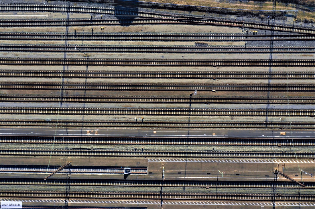
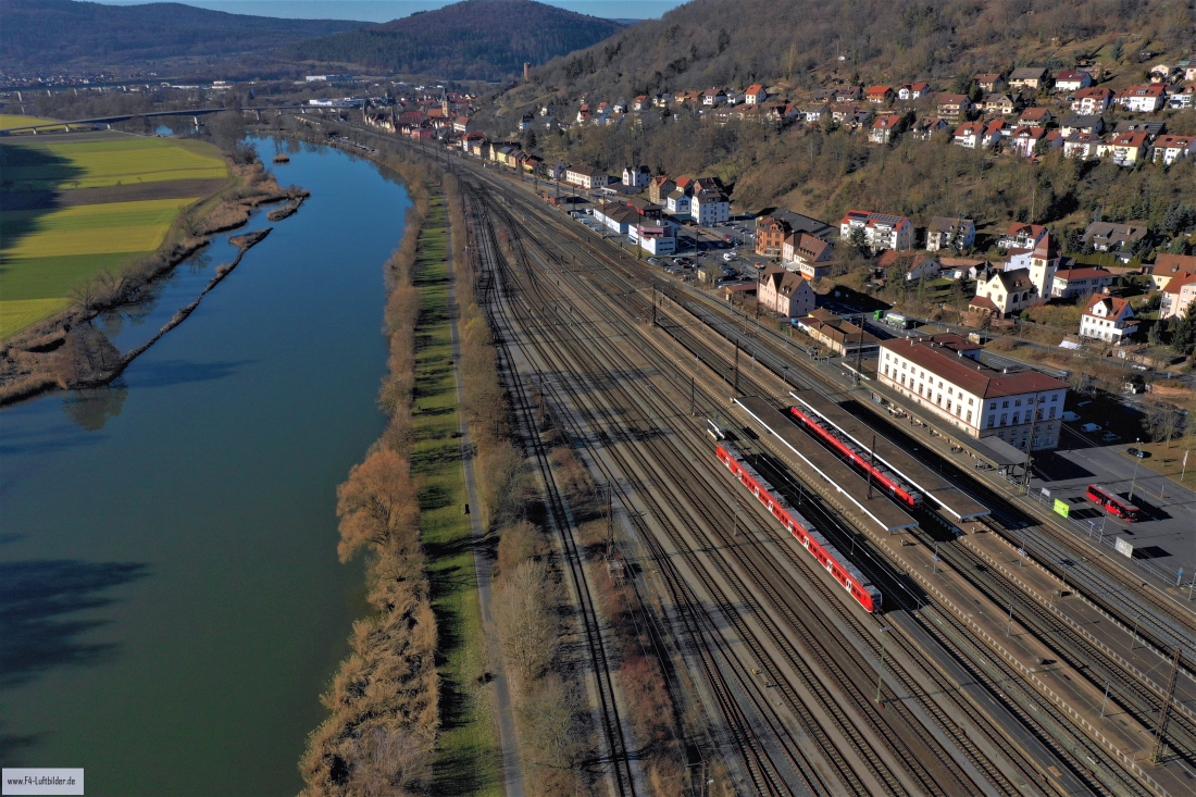
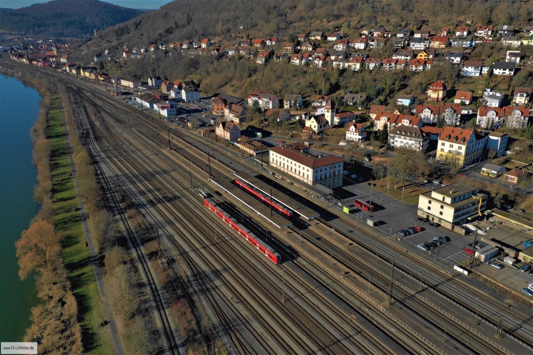
In Gemünden, the long tracks and the Main are close together. The rows of houses are staggered up the slope behind the railway. From the air you can see in a small space how differently the watercourse, railways and residential streets move through the valley.
The tracks as part of the river landscape
In Gemünden, the railway and the Main share the limited valley floor. The different widths of the two lines help to distinguish between the track system and the river, even in a small picture.
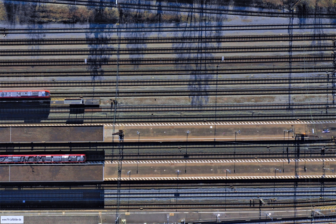
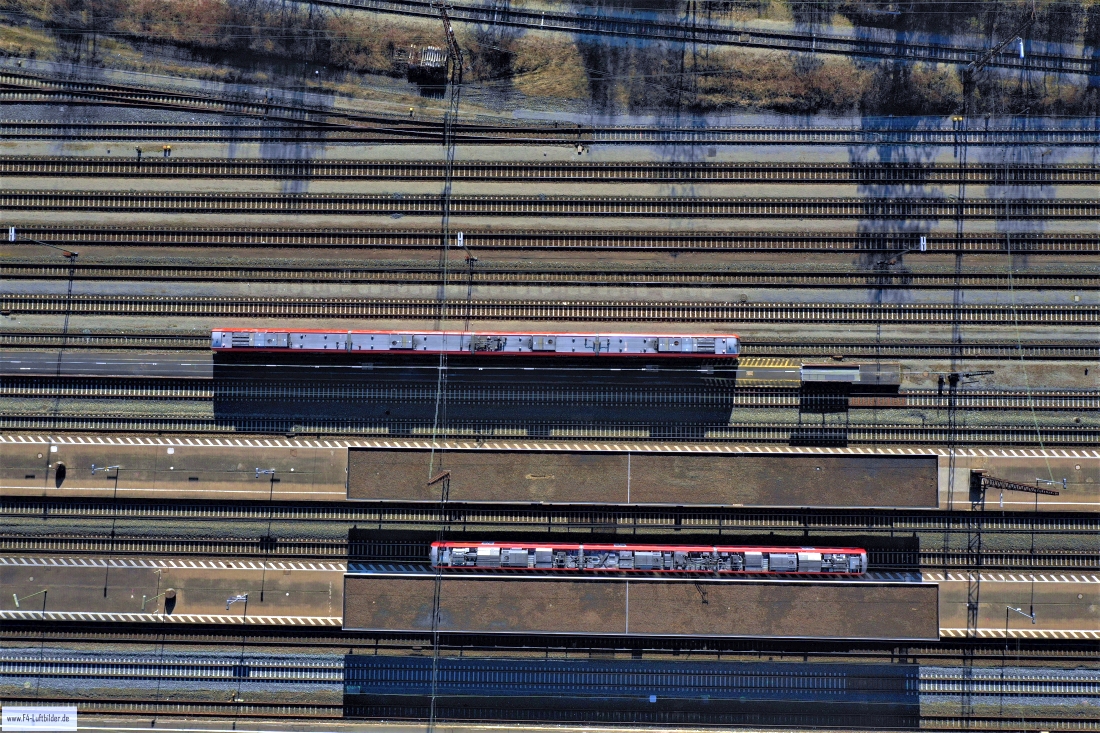
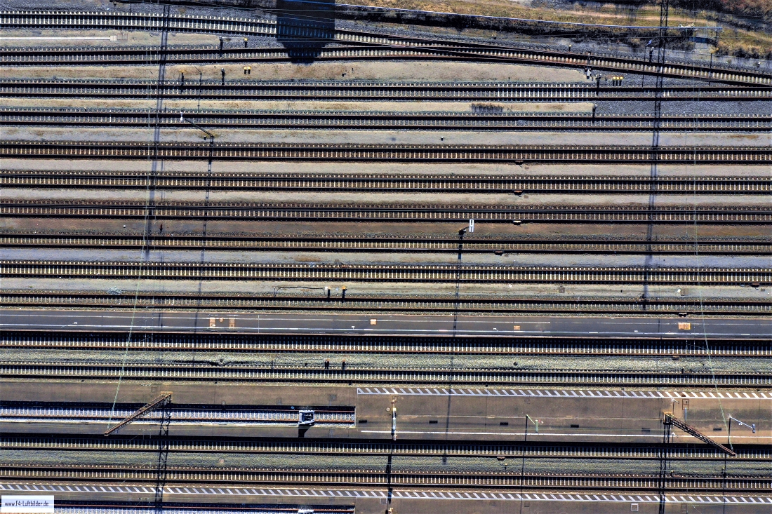
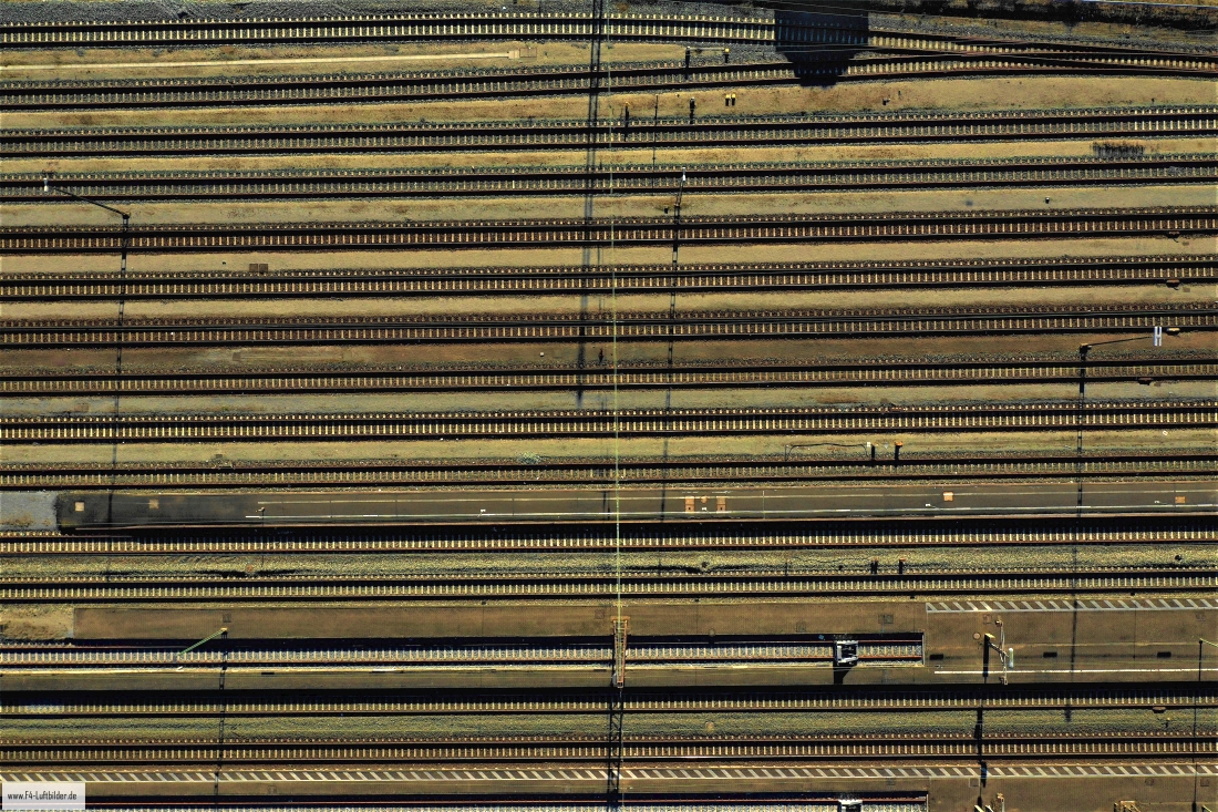
Tracks guide the eye through the image over longer distances. Where several lines converge, an easily recognizable reference point is created. If you take a broader view, you will also see adjacent streets and houses. This shows how much space the railway system takes up within the town. A tighter neckline can focus on the repetition of lines. Both variants are interesting for a report about the location, as long as the caption makes it clear which section is actually visible.
Follow the watercourse in the picture
At the river it is worth taking a second look at both edges of the picture. Sometimes a road ends there and continues along the water in the next section. In another place, a line of trees frames a stretch of bank. Such clues connect the place with its river valley. For a double page spread, you can choose an overview showing the course and juxtapose it with a close-up view of the shore. It helps if at least one bend in the bank or a building can be found in both motifs.
Recognize the shape of the valley area
The location in a valley is made clear in the aerial photo by the lateral boundaries. A nearby slope pushes forward in front of a distant one, and the valley floor opens up in between. If the section is too narrow, it can easily give the impression of a flat surface. A shot with a bit of a slope at the edge of the image preserves the context. Orientation is particularly successful when there is also a familiar size comparison, such as a street or a house. The eye can then better assess the depth between the individual landscape levels.
Warm tones within the series
To switch between two of the 90 aerial photos, shot 71 and shot 56 can be called up directly in the gallery. In the second view, warm reds and browns have more weight than in the first. Red-brown and yellowish areas are particularly noticeable next to cooler surfaces. What is interesting when comparing is whether they are concentrated on a single object or appear spread out across the entire view.
Shot 1 and Shot 90 are among the views from February 27, 2019. According to the camera's time information, there are approximately 30 minutes between the two images. The exposure time was 1/400 second for the first of the images mentioned and 1/800 second for the second.
For a selection of moving images, the gallery contains 8 linked clips. Among them is “Gemünden from the air”. Under Aerial Videos the preview leads to the aerial photographer's respective offer at Adobe Stock.
An image for spatial documentation
For documentation over several years, the exact excerpt is just as important as the date it was taken. It makes sense to have a fixed reference point that should also exist at the next appointment. Temporarily parked vehicles are of little help. A street intersection or the corner of a building is usually easier to find again. An aerial photographer can record the direction of view along with the image number. If you later put two prints next to each other, you can more easily see the difference between a structural change and a simply different perspective.
Related motifs in the aerial photo archive
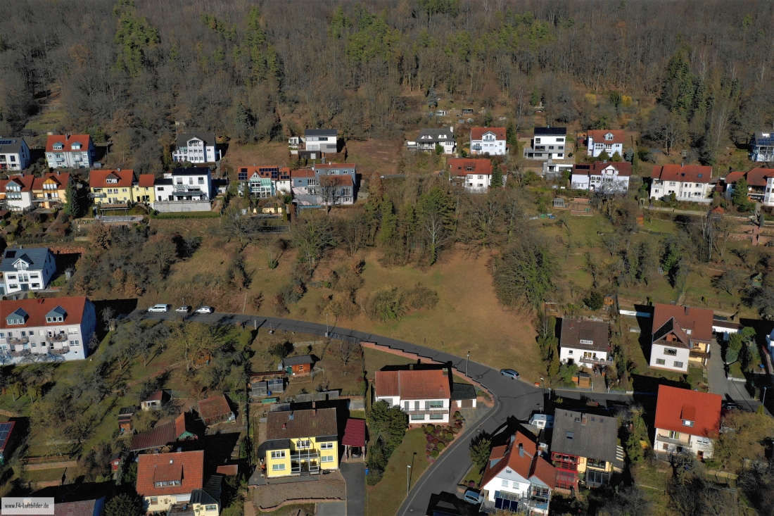
Two additional views can be used in the archive for comparison. The first can be found under Karlburg. In the series about Karlburg, rugged rocky areas meet more densely wooded sections. The second belongs to the article Neustadt am Main. In Neustadt am Main, the development runs closely along the foot of the wooded slope.