 F4LUFTBILDER


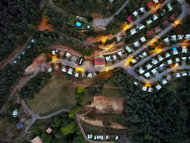
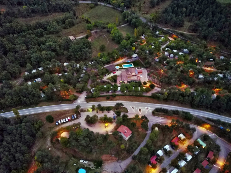
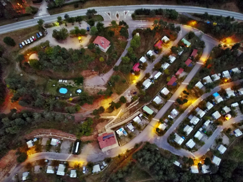
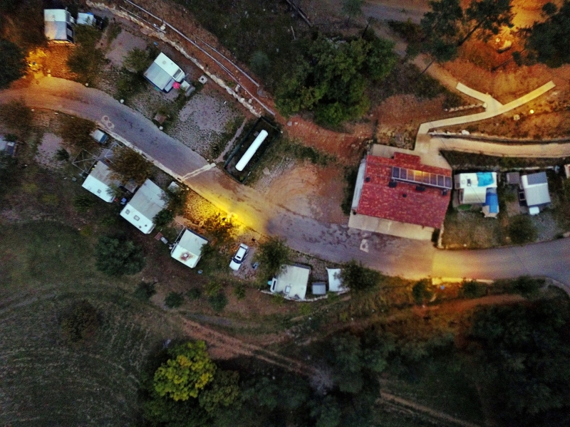
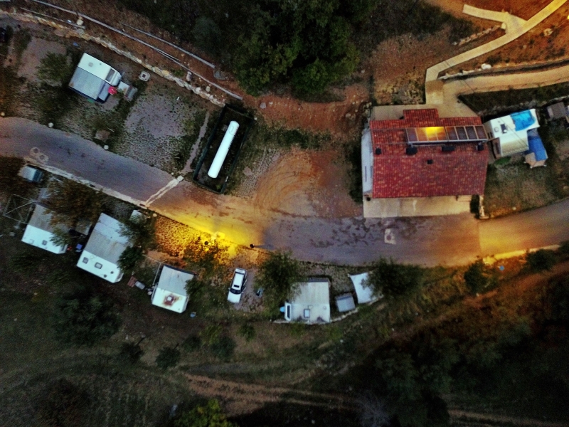
Pyrenean valleys and paths in the mountains
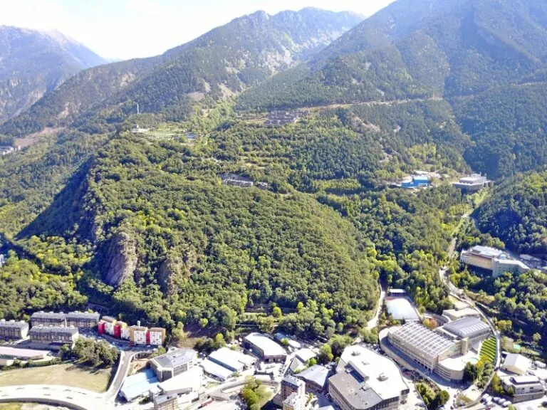
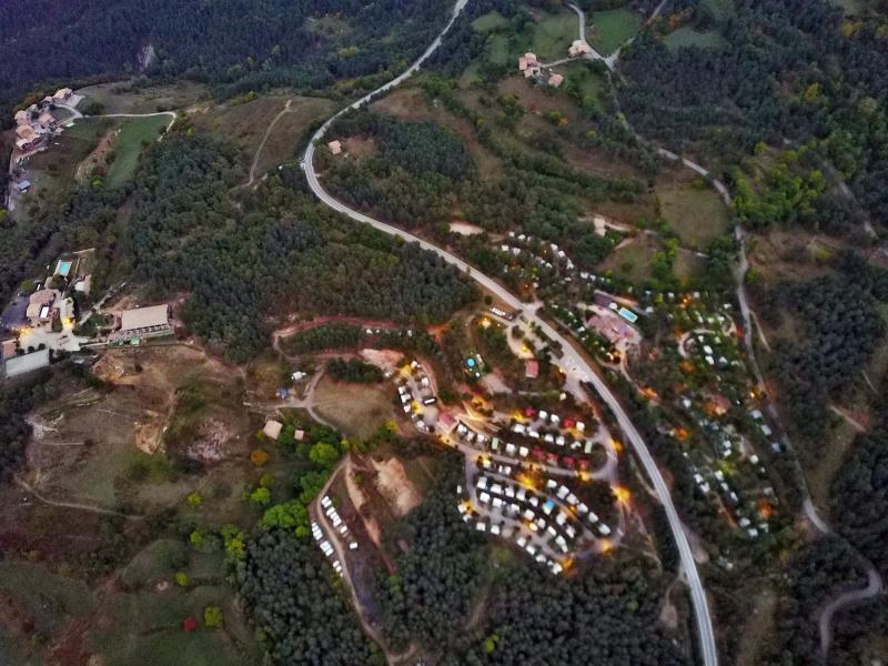
The Pyrenees series follows the sequence of valley locations, road bends and open mountain slopes. Since the mountain range extends across national borders, the selection depends on the name of the individual motif. The relief itself can be read particularly well at the transitions between forest and open slope.
Determine the landscape in the mountains
In the Pyrenees, paths are particularly easy to read when they cross an open slope. Before they disappear behind a ridge, a final curve reveals the direction of the valley.
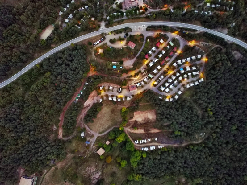
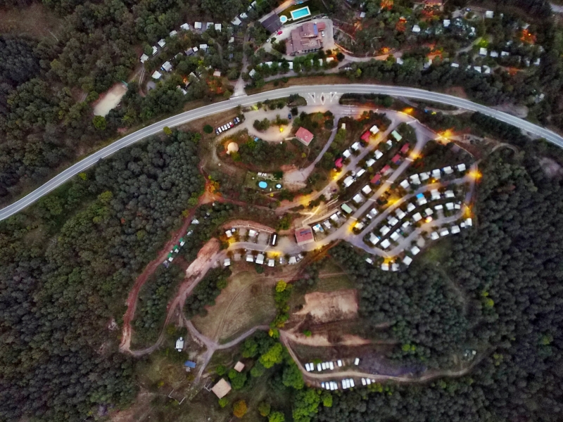
A pass road shows the climb through its changes of direction. In an oblique aerial photo, several curves can appear to be at the same height. Only the embankment between two sections makes the difference in height visible. For a landscape photograph, it is therefore interesting to have a perspective that includes not only the street line but also the surrounding flanks. In a closer view, a single bend can then be the focus. Together, both images convey both the course of the route and the nature of the terrain.
Recognize the shape of the valley area
The location in a valley is made clear in the aerial photo by the lateral boundaries. A nearby slope pushes forward in front of a distant one, and the valley floor opens up in between. If the section is too narrow, it can easily give the impression of a flat surface. A shot with a bit of a slope at the edge of the image preserves the context. Orientation is particularly successful when there is also a familiar size comparison, such as a street or a house. The eye can then better assess the depth between the individual landscape levels.
What role does visibility play?
When haze or clouds weaken the distance, the closer landscape stands out all the more. Colors and contrasts change with distance. For a calm landscape portrait, this may be exactly what you want. When it comes to the spatial assignment of a specific motif, at least one prominent point should remain clearly recognizable. A caption can indicate the visibility conditions. It makes it understandable why part of the landscape is only hinted at and where the view can begin.
Warm tones within the series
For a direct image comparison, use shot 28 and shot 48 from the gallery with 60 aerial photos. In the second view, warm reds and browns have more weight than in the first. Red-brown and yellowish areas are particularly noticeable next to cooler surfaces. What is interesting when comparing is whether they are concentrated on a single object or appear spread out across the entire view.
According to camera data, Shot 1 and Shot 60 were taken on September 28, 2017. There is a gap of around 373 minutes between the two images. The exposure time was 41/8886 of a second for the first of the images mentioned and 2/15 of a second for the second.
Select landforms for a landscape portrait
When publishing about a mountain range, the direction of view should be stated in the caption, as long as it can be determined with certainty. The same ridge can look very different from one valley than from the other side. For the aerial photographer, the question arises when planning whether the location in the foreground or the shape in the distance should be the deciding factor. If a close and a distant reference point is retained in the image, even readers without local knowledge can understand the gradation of the terrain.
Related motifs in the aerial photo archive
The article Andorra offers another perspective. In Andorra, the valley floor and mountain slopes come close together. In the gallery Maloja am Silsersee there is a different focus. At the Maloja Pass, the direction of view changes with every bend in the road.
Aerial photos of the Pyrenees
Your aerial photographer across Europe
Request a free quote