 F4LUFTBILDER
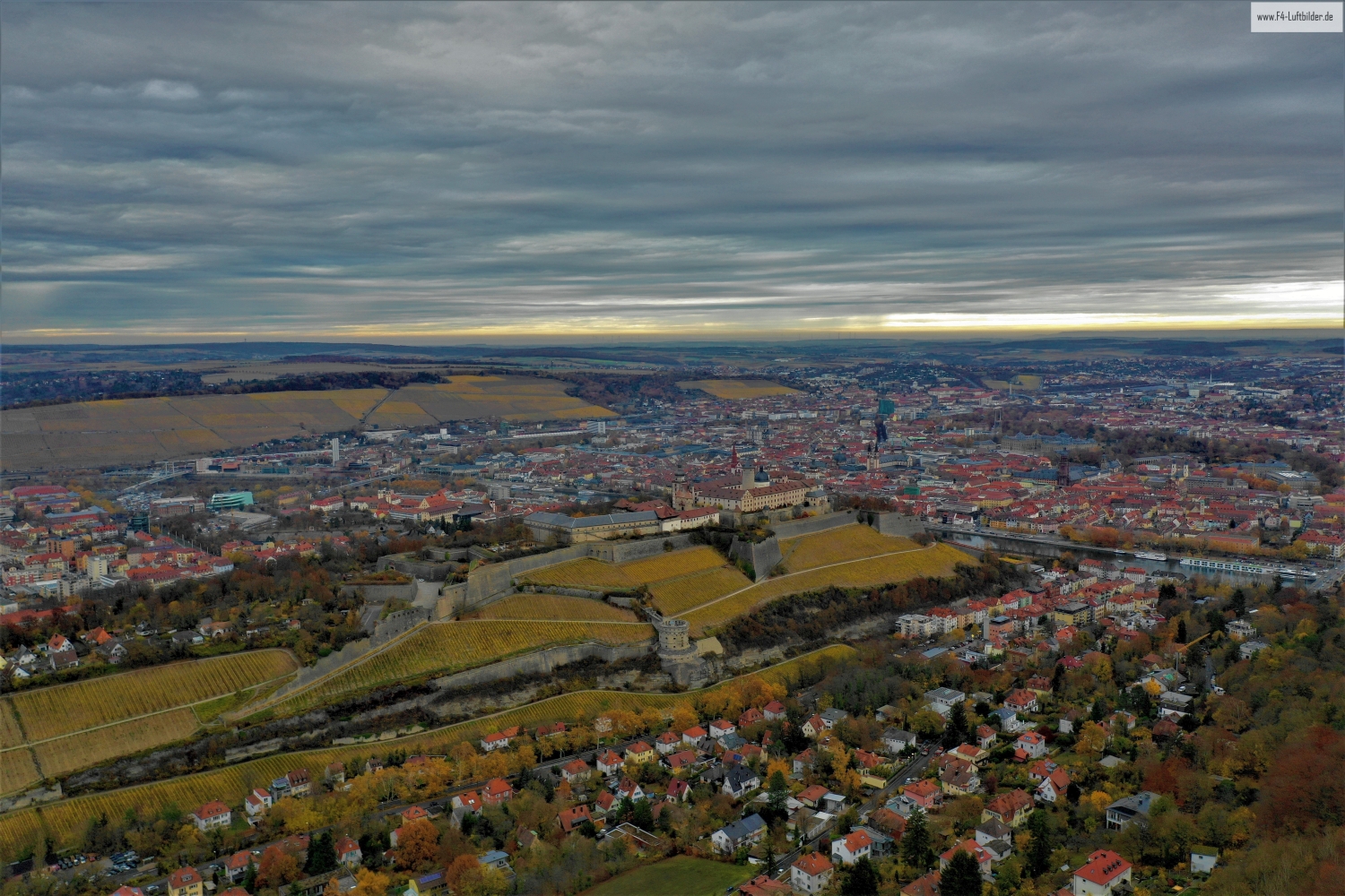
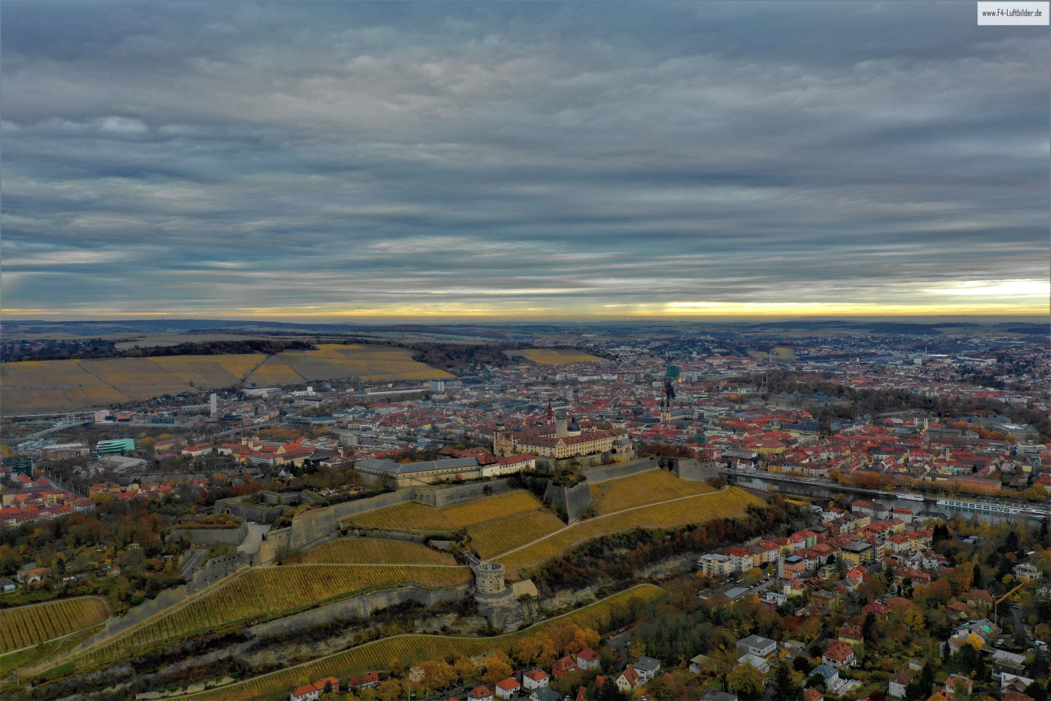
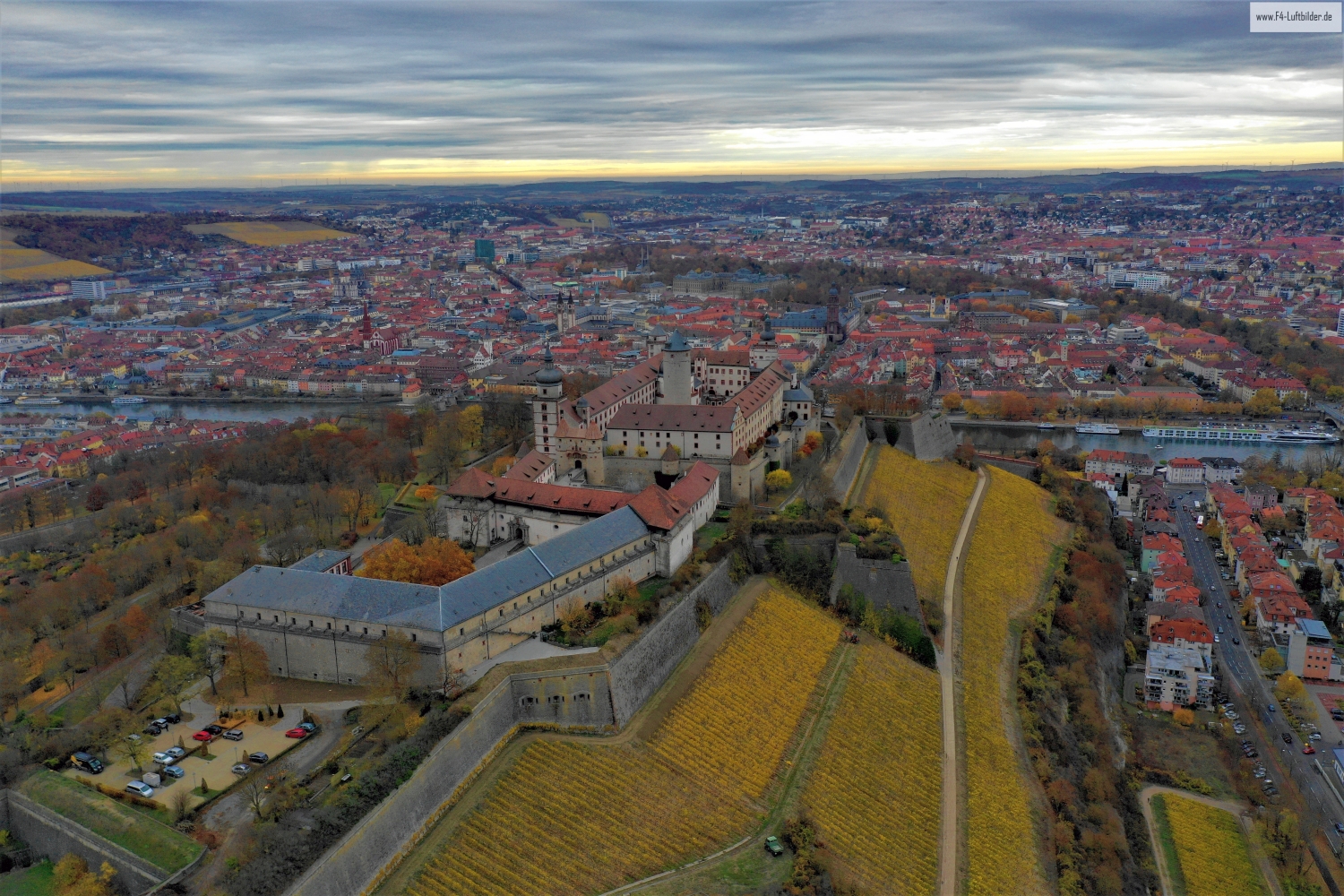
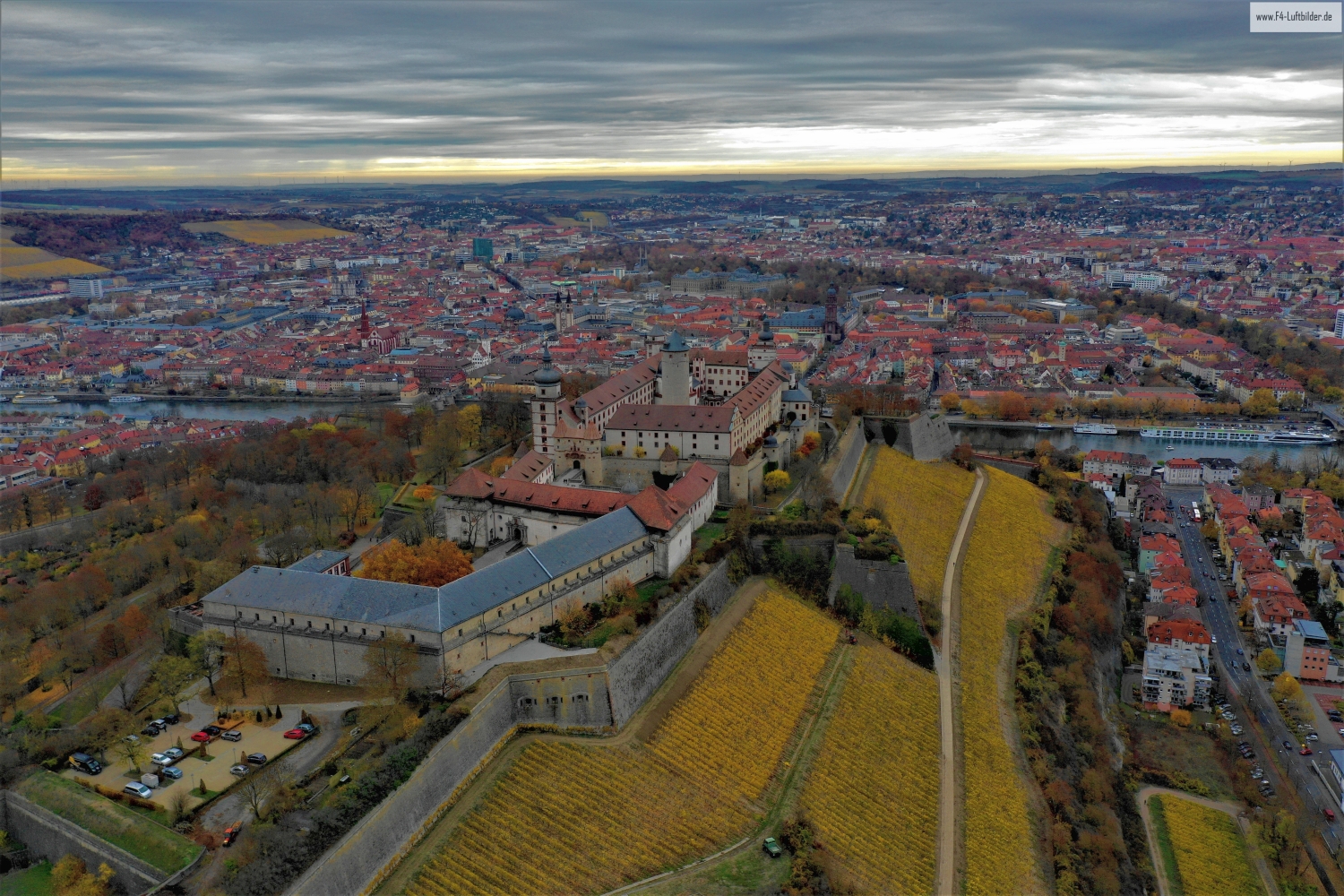
The Marienberg Fortress above Würzburg
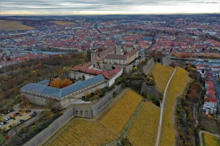
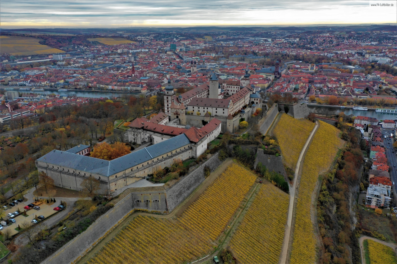
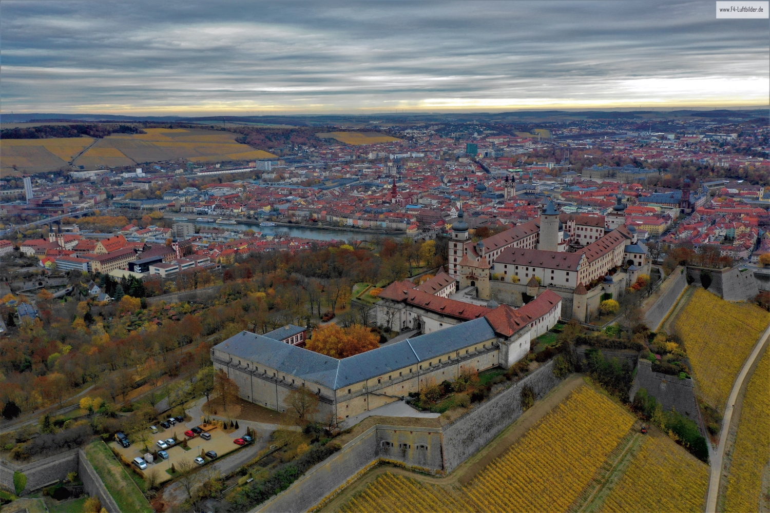
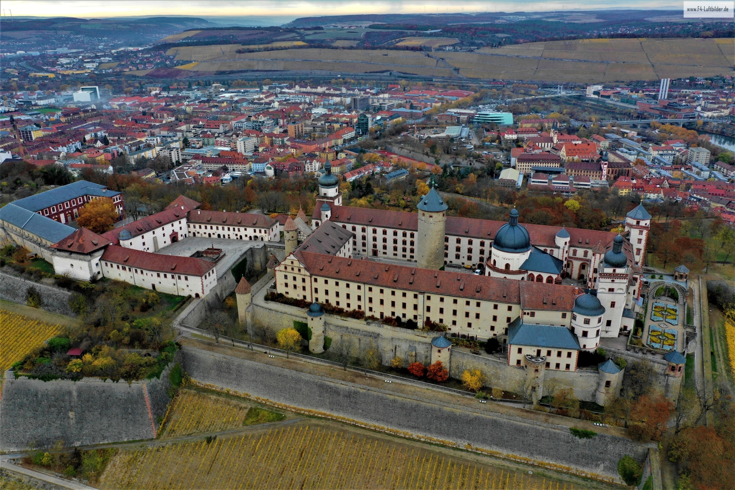
The Marienberg Fortress lies high above Würzburg. The aerial photos show staggered walls, outworks and inner courtyards in front of the vineyards. Beyond this, the city spreads out and provides a comprehensible background to the views of the mighty fortifications.
Fortification and city in one picture
At Marienberg Fortress, a sequence of images can begin at the river and end at the top. This gives the path from the Würzburg cityscape to the fortress a comprehensible direction.
When looking at a castle, it is worth looking at the roofs and the spaces between them separately. A large roof wing initially attracts attention. In addition, a courtyard or a narrow passage can show much better how the parts of the system are connected. An oblique aerial photo also gives an idea of their altitude. With a narrower section, a piece of outer wall or slope maintains orientation and allows the building to remain visible in the context of its location.
The direction of the vine rows
Rows of vines make the slope of a slope visible in a special way. They run across the area, change direction at a plot boundary or end at an embankment. From the air, their order can be observed over a large distance. An oblique view also shows how high the cultivated areas are above the valley. When selecting images, a combination with a fixed reference point is helpful, such as the edge of the town or an easily recognizable path through the slope.
Follow the watercourse in the picture
At the river it is worth taking a second look at both edges of the picture. Sometimes a road ends there and continues along the water in the next section. In another place, a line of trees frames a stretch of bank. Such clues connect the place with its river valley. For a double page spread, you can choose an overview showing the course and juxtapose it with a close-up view of the shore. It helps if at least one bend in the bank or a building can be found in both motifs.
The distribution of blue tones
Among the 7 photos in the gallery, shot 1 and shot 5 provide a good starting point for the comparison. In the first excerpt, shades of blue play a smaller role. In the second shot, blue areas take up more space. Blue can extend over a large contiguous area or only appear in individual parts. What also counts for the effect is whether these areas extend to the edge of the picture or surround the main subject.
The camera captured November 12, 2018 for shot 7 and shot 4. The time interval between these two views is approximately 4 minutes. ISO 100 and an exposure time of 1/80 second are recorded for both files.
Communicate architecture and location together
For a post about a building, two captions can fulfill very different tasks. The first names the system and explains its location, the second leads to a visible component. Historical construction phases or previous uses can hardly be determined from the roof color and current wall edges alone. However, an aerial photographer can show precisely which parts will actually be visible in the later photo. For a guide or local chronicler, this separation makes it easier to work with people who know the local building history.
More aerial photos for comparison
Two further articles invite comparison. In the first, Rothenfels, a different detail is in the foreground. In Rothenfels, the Main, the houses on the bank and the castle on the hillside lie on top of each other in a small space. After that, Henneburg is a good option. The Henneburg stands high above the Main near Stadtprozelten.