 F4LUFTBILDER
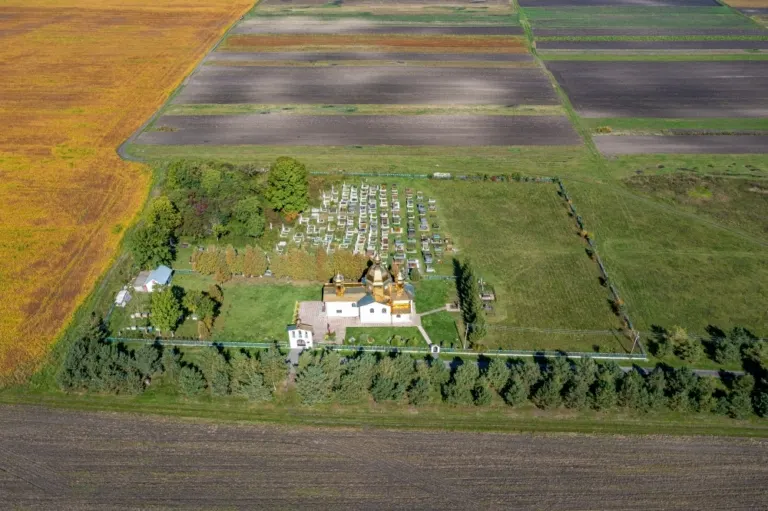


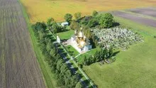
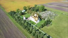
The Dmitry Church on the open field
The church in Ukraine known as Church Dmitry is located in front of extensive fields in the photos. Its green surroundings stand out from the large plots. With a little distance, the structure, rows of trees and the path to the site can be read together.
The churchyard in the field landscape
Around the Dmitry Church, the small green area can be almost completely separated from the fields. A more oblique view also shows how low the body of the church appears in front of the wide horizon. This is a different church motif than a tall tower between townhouses.
A church can often be identified in the townscape by its height. In an aerial view, the arrangement of the roof surfaces also helps. It shows the length of the ship, the orientation of the building and its relationship to paths and adjacent areas. A particularly clear angle is where the tower only covers a little of the rest of the building. To create a portrait of the location, some of the surroundings can be included in the picture. Only it turns the individual church building into a concrete place with a neighborhood.
Field boundaries as a benchmark
On a map, fields become similar areas. In the aerial photo they differ in color, structure and processing direction. A bright dirt path divides two plots, a row of trees interrupts the straight lines. In such places, the size of the open hallway is better understood than by just looking at the horizon. Color changes should initially be left as an observation. Which crop is growing in a field or when it was cultivated can often only be determined from a single photo with additional local knowledge.
What becomes visible on the edge of town
On the edge of town, several scales come together in a small section. On one side there are individual buildings with gardens and driveways. On the other hand, a single open area sometimes takes up as much space as several streets. This change can be shown in the picture over a common edge. A section in which the border between the two areas remains visible even when displayed narrowly is suitable for a website. The motif then retains its local reference even in the mobile view.
Shades of green in the image
For a direct image comparison, use shot 6 and shot 2 from the gallery with 6 aerial photos. In the first image, green areas make up a smaller part of the section than in the second. It's worth tracking the green areas individually. Only in connection with neighboring forms does it become clear what is in the foreground and what belongs to the more distant surroundings.
According to camera data, Shot 1 and Shot 6 were taken on September 24, 2022. There is a gap of around 4 minutes between the two images. The exposure time was 1/320 second for the first of the images mentioned and 1/200 second for the second.
For a selection of moving images, the gallery contains 2 linked clips. Among them is “Church of Saint Dmitry in Ukraine from Above.” Under Aerial Videos the preview leads to the aerial photographer's respective offer at Adobe Stock.
Communicate architecture and location together
For a post about a building, two captions can fulfill very different tasks. The first names the system and explains its location, the second leads to a visible component. Historical construction phases or previous uses can hardly be determined from the roof color and current wall edges alone. However, an aerial photographer can show precisely which parts will actually be visible in the later photo. For a guide or local chronicler, this separation makes it easier to work with people who know the local building history.
Related motifs in the aerial photo archive
The article St. offers another perspective. Annaberg (Gora Swietej Anny). At St. Annaberg in Poland, the first thing you notice is the color of the wooded hill. In the galleryChurch of All Saints | Hodowyzja there is a different focus. In Hodowyzja's photos, the bright building of the All Saints' Church towers between the autumnal treetops.