 F4LUFTBILDER
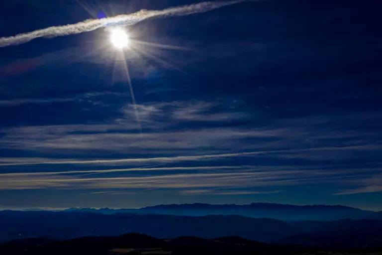


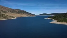
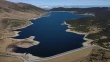
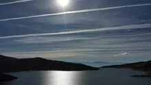
The Belmeken dam in the highlands
At the Belmeken dam, a straight edge of the dam meets a much more irregular shoreline. The dark water stands out against the open Bulgarian mountain slopes. With a larger angle of view, the reservoir can be captured as a coherent shape between the heights.
The straight line of the dam
At Belmeken the dam is quieter than the uneven highlands around it. The straighter line of the dam helps distinguish between the formed facility and the rest of the bank.
On a lake, a large area can appear almost uniform. Only an arch on the bank, a boat or the reflection of a slope gives the eye something to hold on to. In aerial photography, the image often appears particularly spatial, as it contains a piece of land in the foreground in addition to the water. For a wide image, the water surface can have more space. In a narrow format, their connection to the shore should be retained so that the landscape becomes a recognizable place and not just any blue area.
Where a structure limits the water
A straight or evenly curved edge is immediately noticeable on a naturally structured bank. In the overview it can be viewed together with the adjoining water area and the access routes. The closer views, however, make the transition from the solid structure to the water visible. When writing an editorial description, it is worth briefly explaining the location of this part in the overall picture. The view from above shows its external form, while statements about operation or performance require other sources.
The graduation of the mountain ranges
The silhouette of a mountain range is a good way to start looking. First you notice the highest point, then the succession of saddles and flatter sections. In an oblique shot, this profile connects with the shapes in the foreground. A steeper perspective takes more interest in the surface of the slope. A direct comparison makes it understandable why a location can change significantly when the viewing angle changes, even though the recognizable heights in the background remain the same.
Warm tones within the series
If you browse through the 13 aerial photos, you can stay at shot 1 and shot 9 for a comparison. In the second view, warm reds and browns have more weight than in the first. Red-brown and yellowish areas are particularly noticeable next to cooler surfaces. What is interesting when comparing is whether they are concentrated on a single object or appear spread out across the entire view.
For Shot 1 and Shot 13, the same day is noted in the image files, November 7th, 2020. The recording times recorded are approximately 33 minutes apart. The exposure time was 1/2000 second for the first of the images mentioned and 1/1250 second for the second.
For a selection of moving images, the gallery contains 3 linked clips. Below is “Belmeken Dam in Bulgaria Aerial Video”. Under Aerial Videos the preview leads to the aerial photographer's respective offer at Adobe Stock.
Show the proportions of the landscape
For a series of natural history images, an observable form is the best starting point. Where does a surface end, what structure continues next to it, and how much environment do you need to tell the two apart? The questions can be followed directly from the photo. Statements about origin, depth or age, however, require additional sources. An aerial photographer can capture the visible traces and draw attention to a detail. In the later caption you can then clearly explain what can be seen in the photo and what comes from the technical classification.
Related motifs in the aerial photo archive
If you are looking for related motifs, you can start with Bulgaria – Rila Mountains. In Bulgaria's Rila Mountains, forested ridges extend to more open, rocky heights. It's worth taking a second look at Kelbra (Kyffhäuser). Above Kelbra, the water surface of the reservoir is striking, especially when the light is reflected in it.
Aerial photos of the Belmeken dam
Your aerial photographer across Europe
Request a free quote