 F4LUFTBILDER
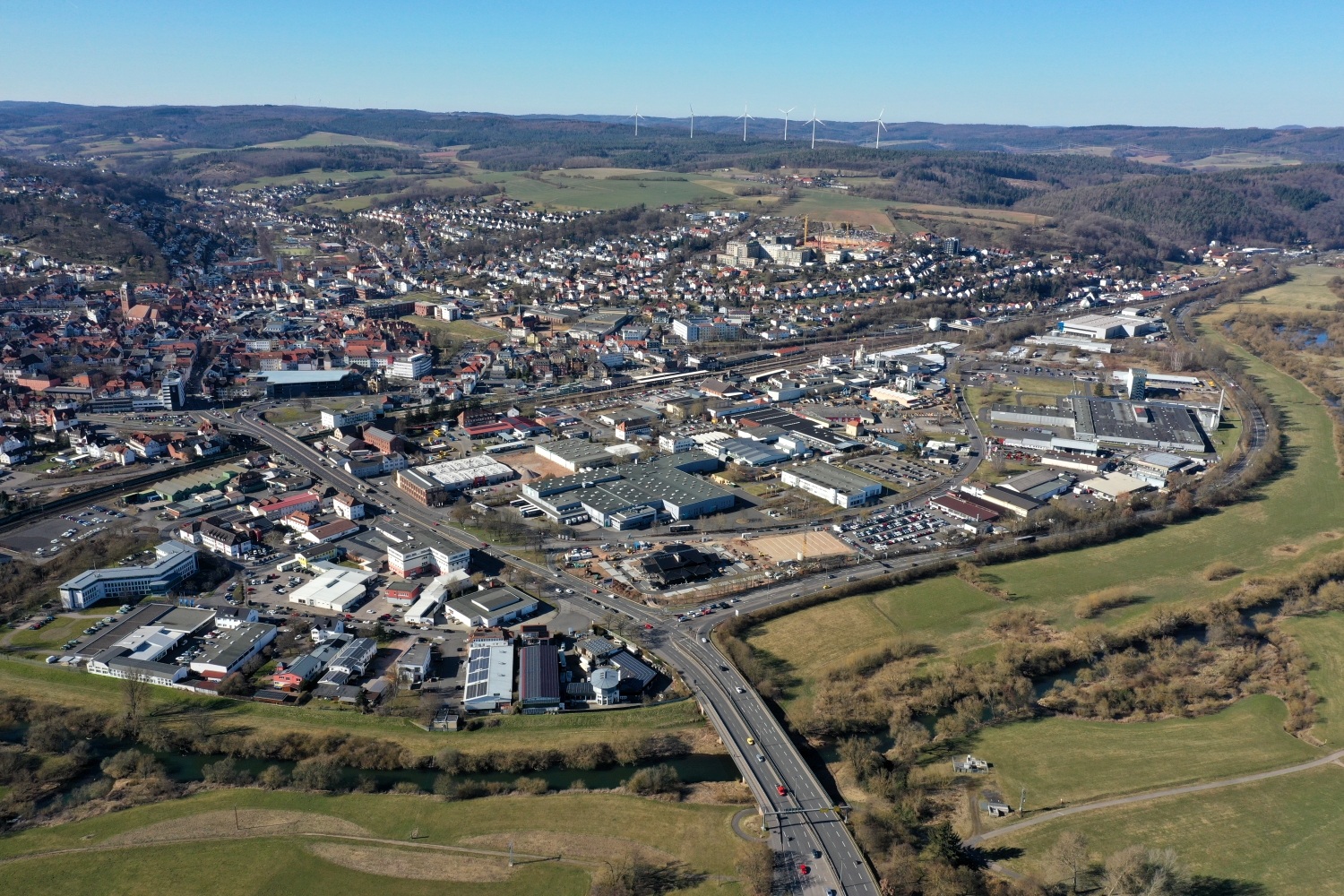
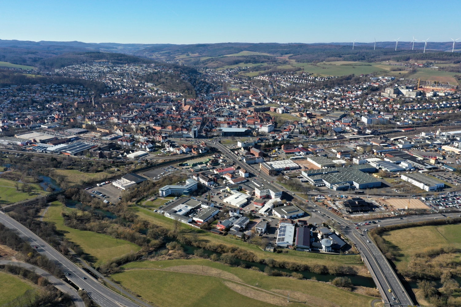
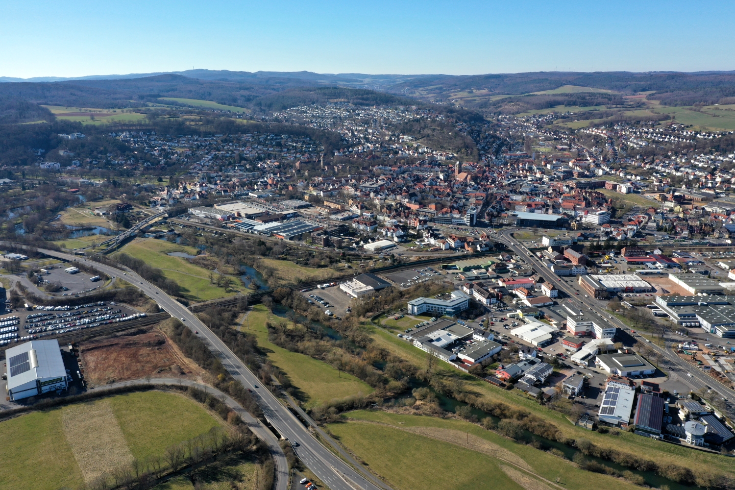
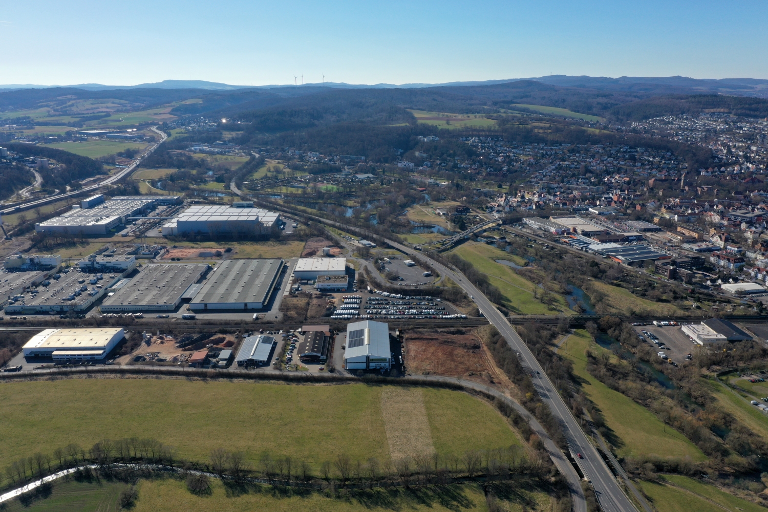

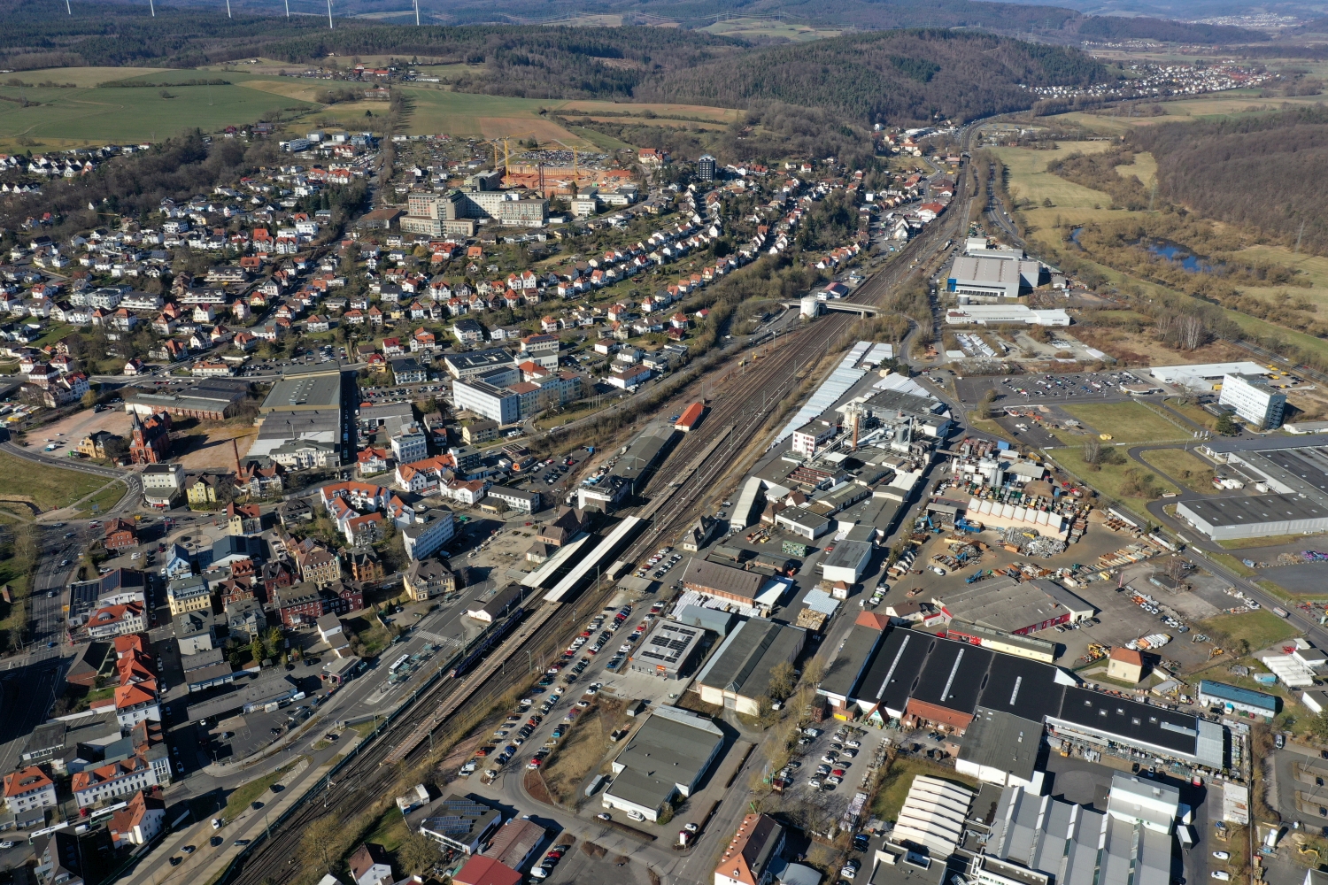
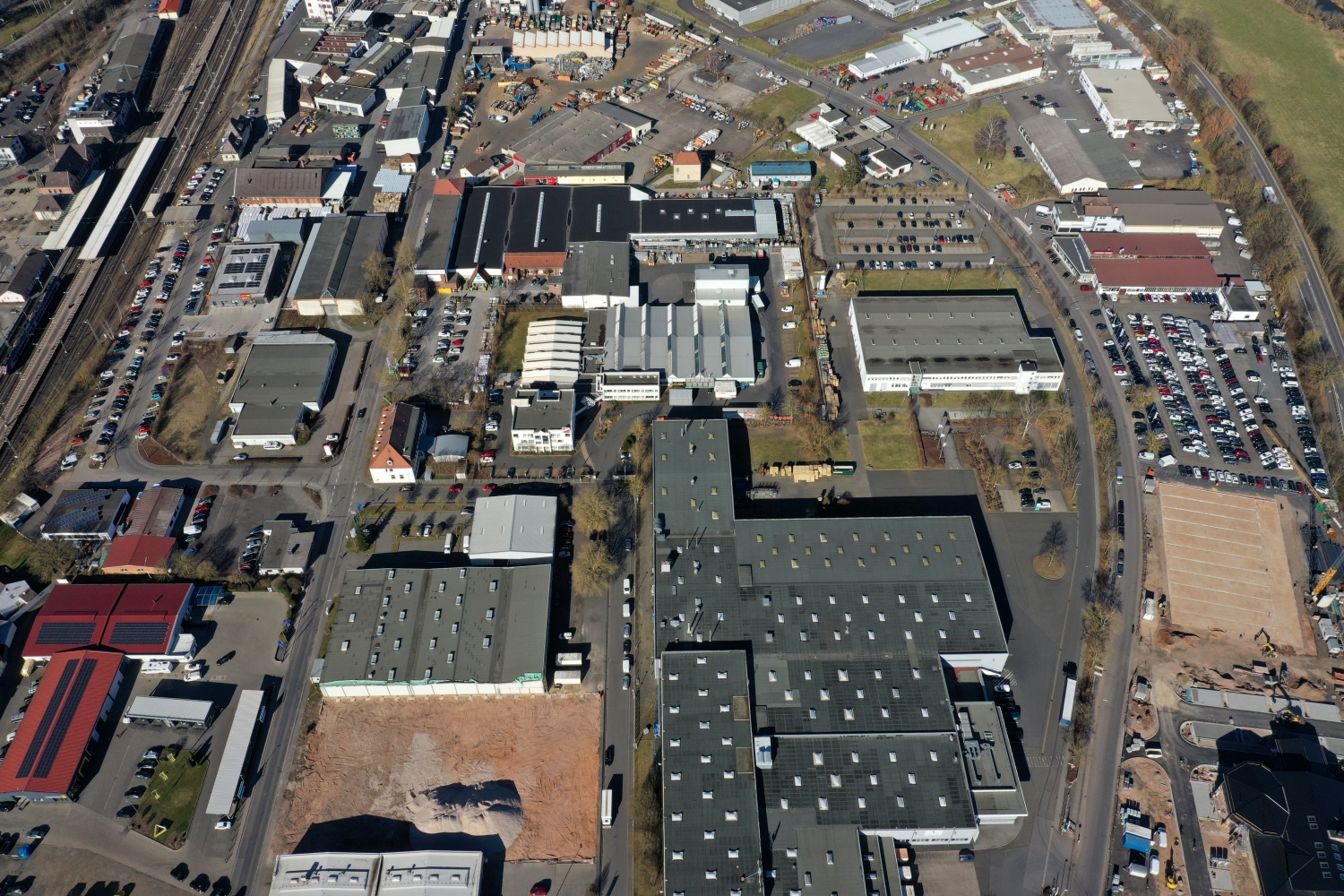
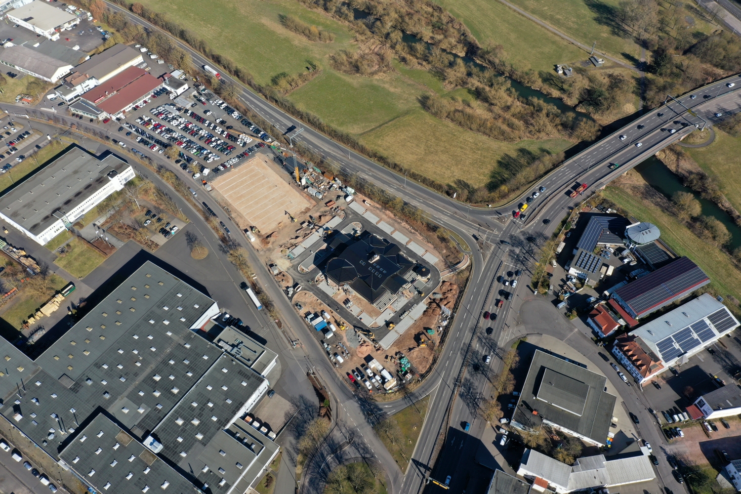
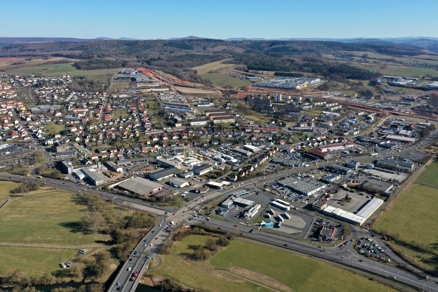
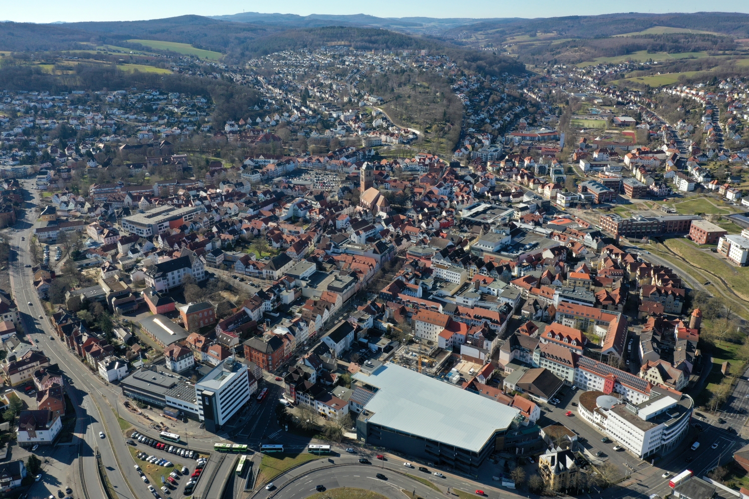
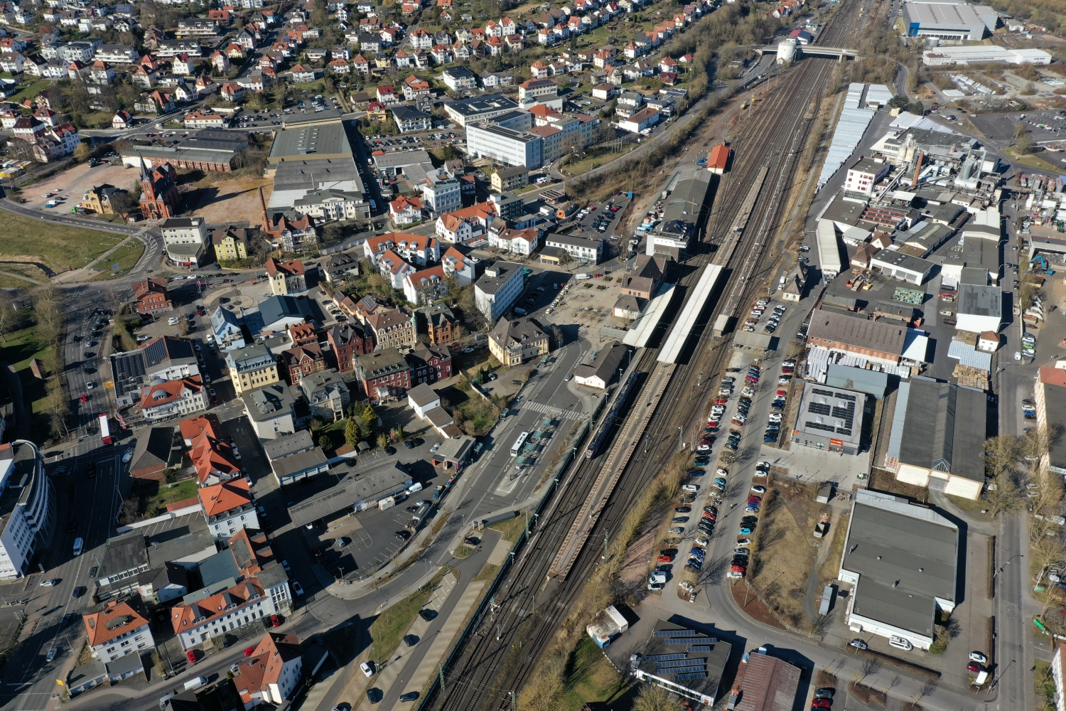

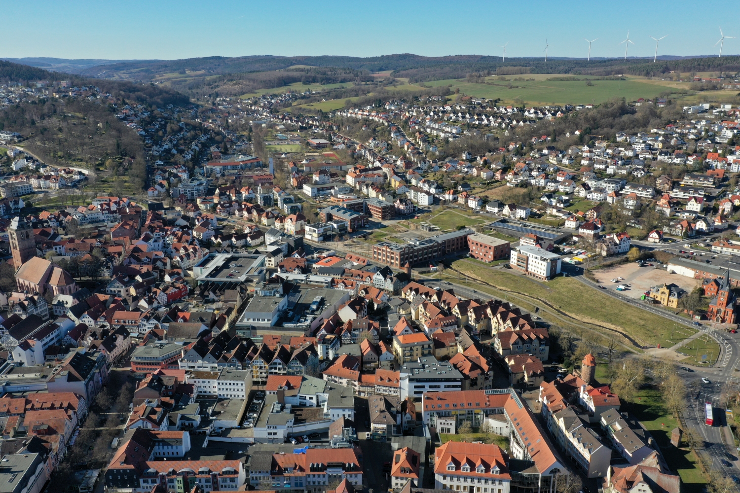
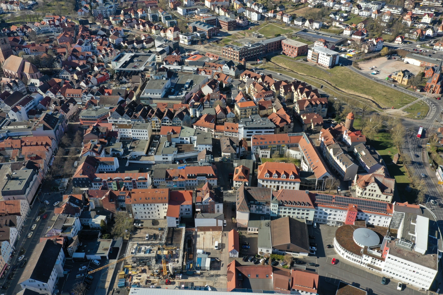
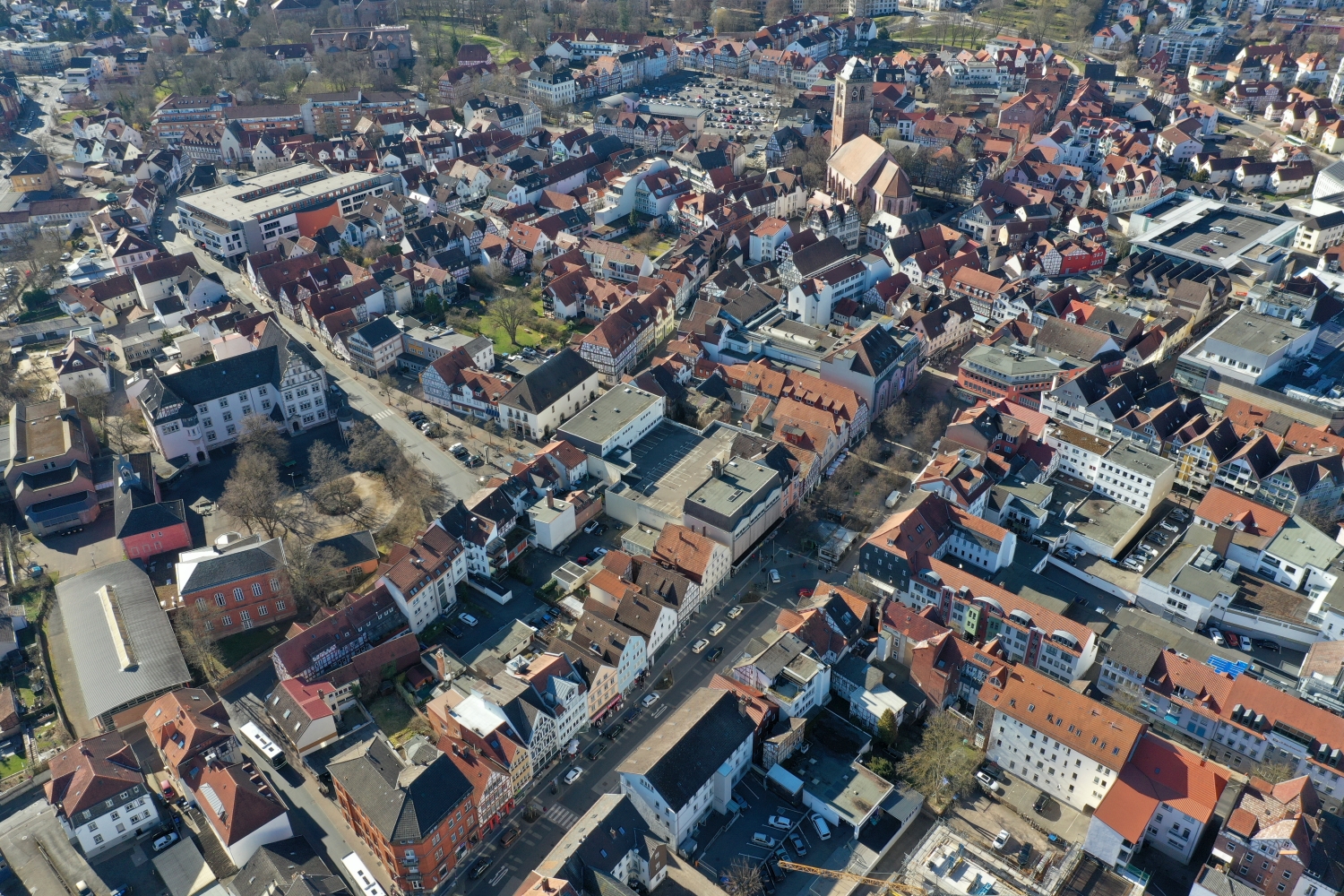
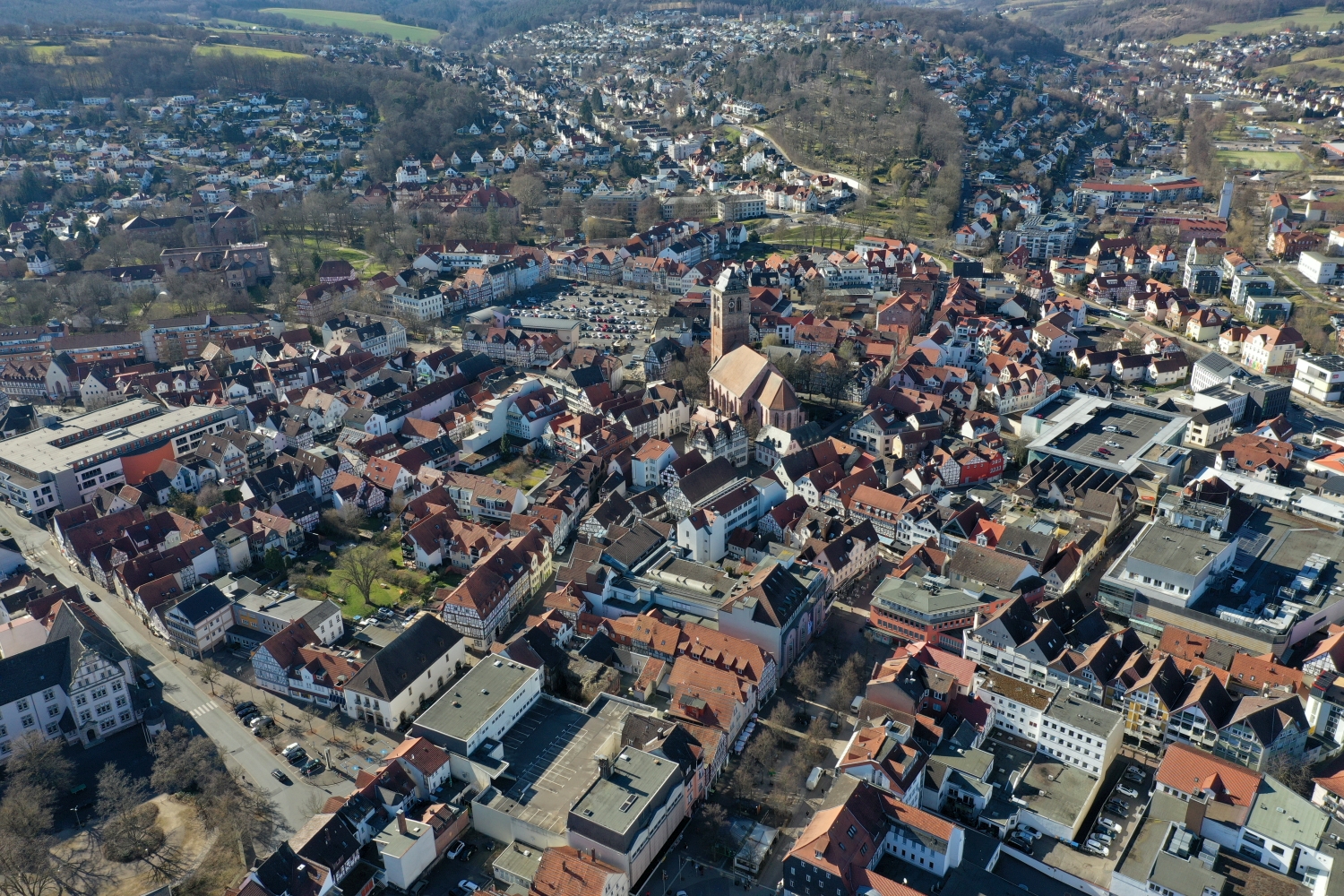
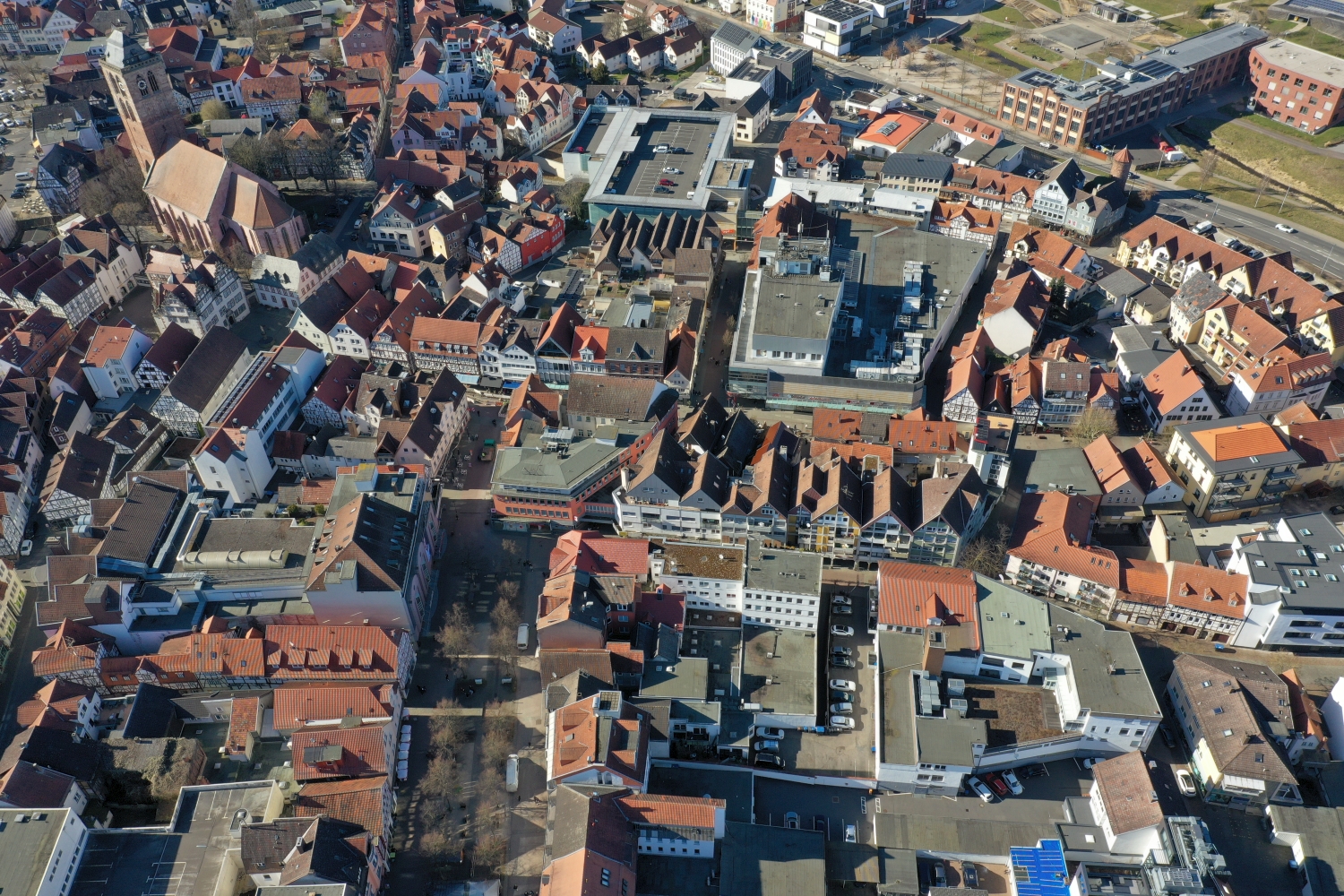
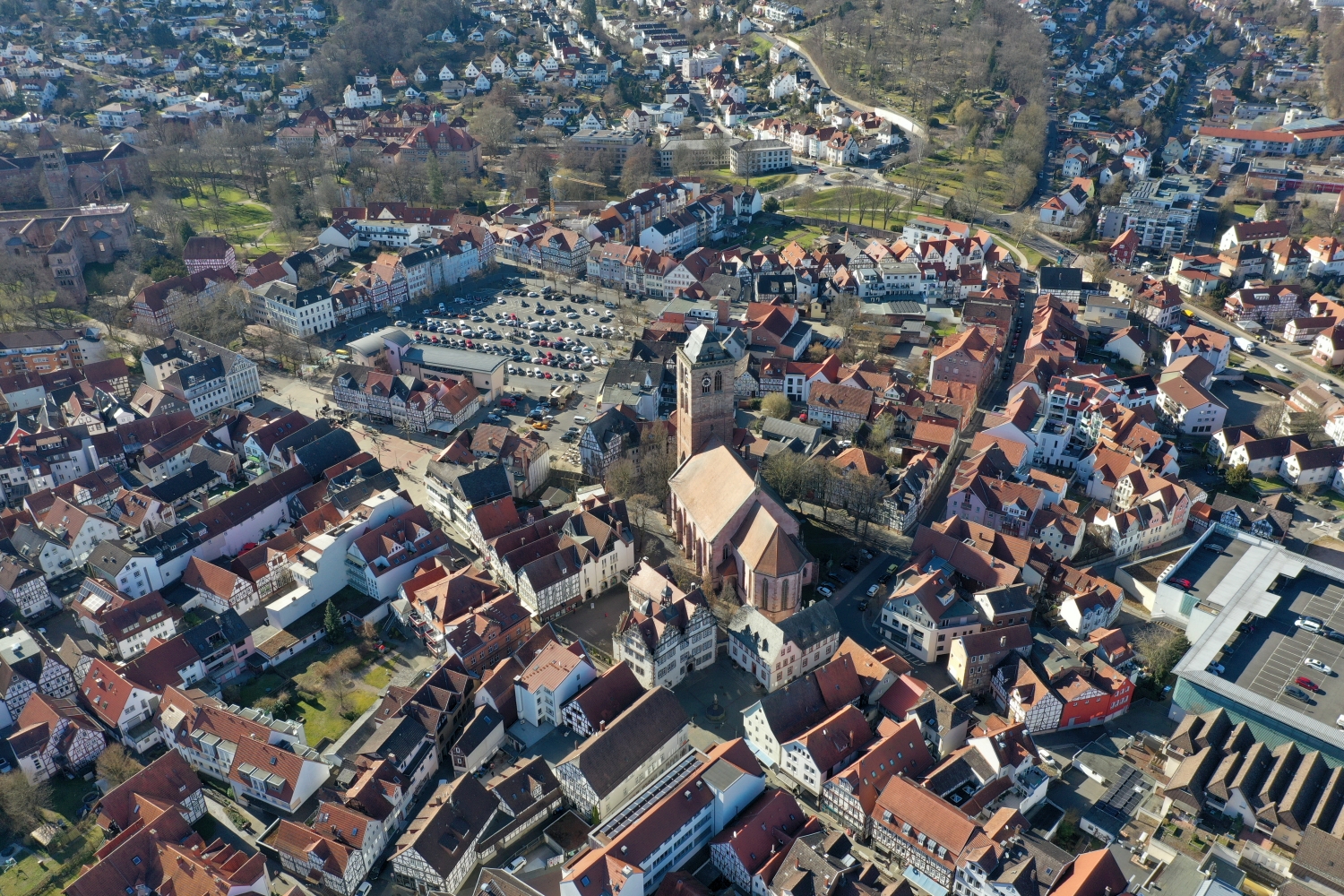
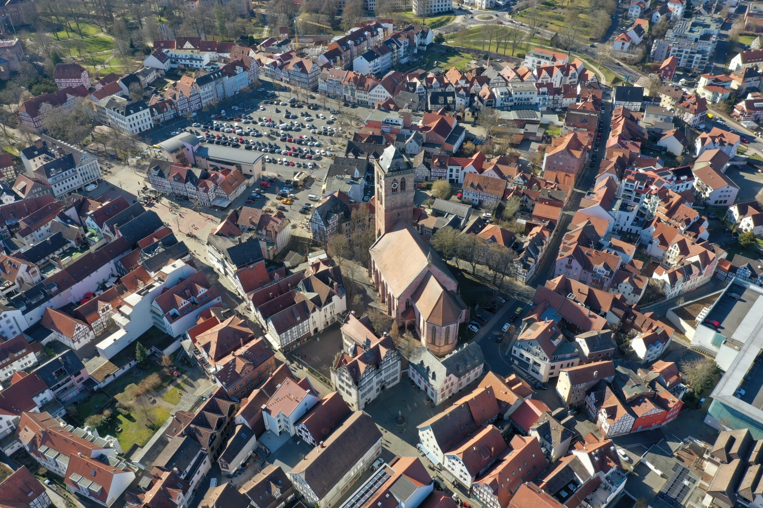
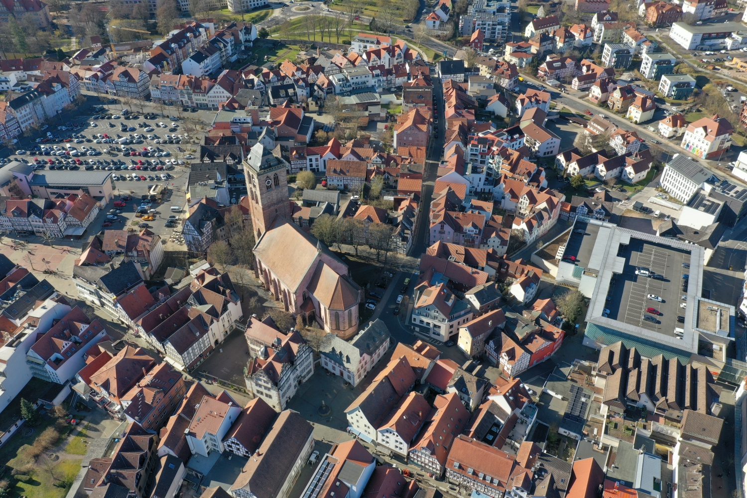
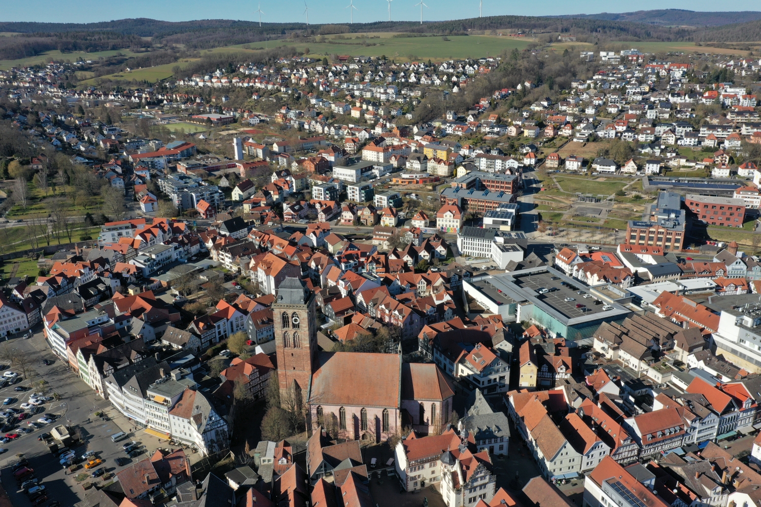
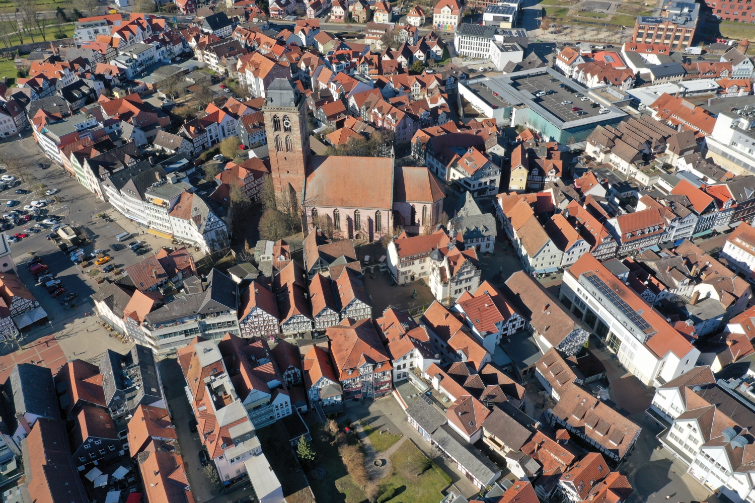

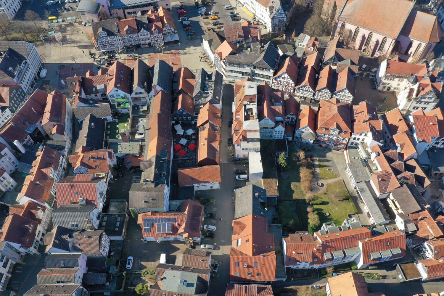
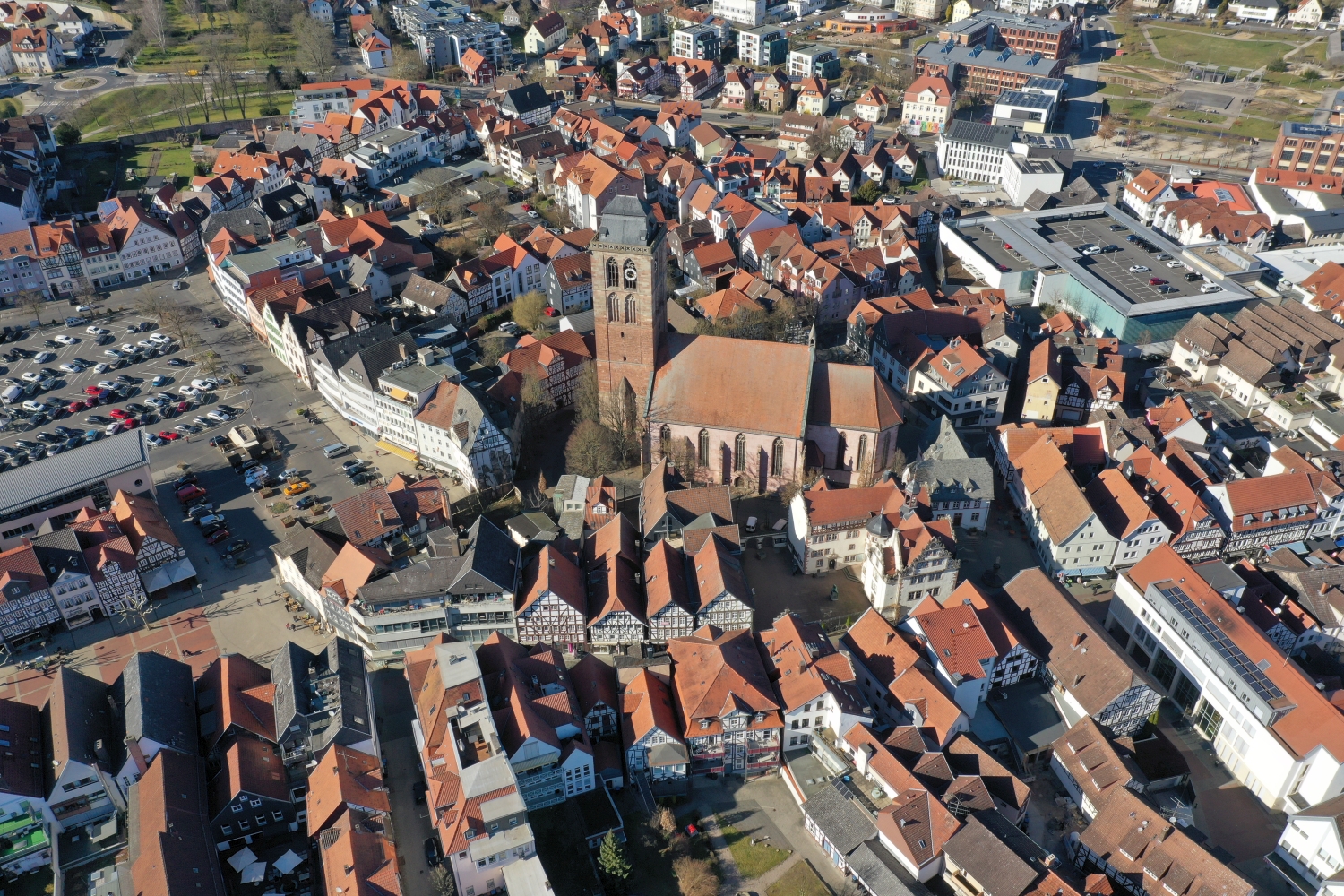
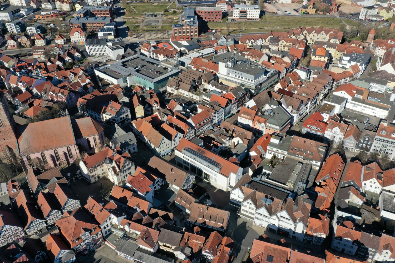
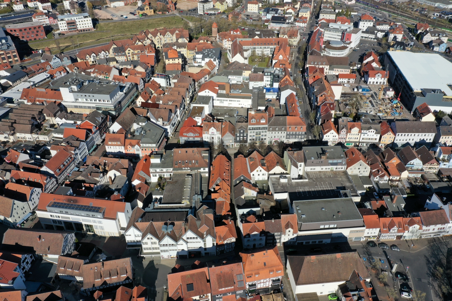
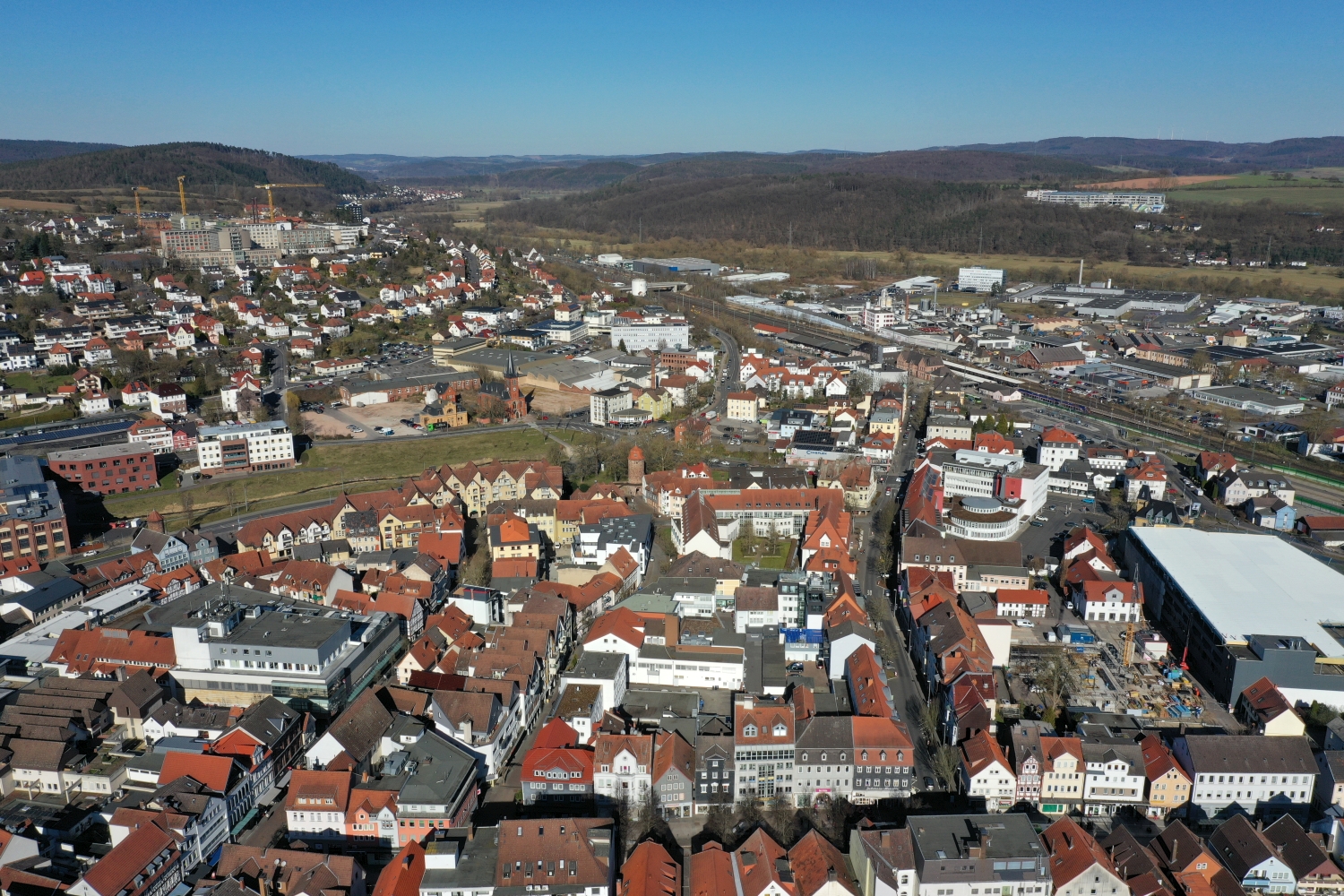
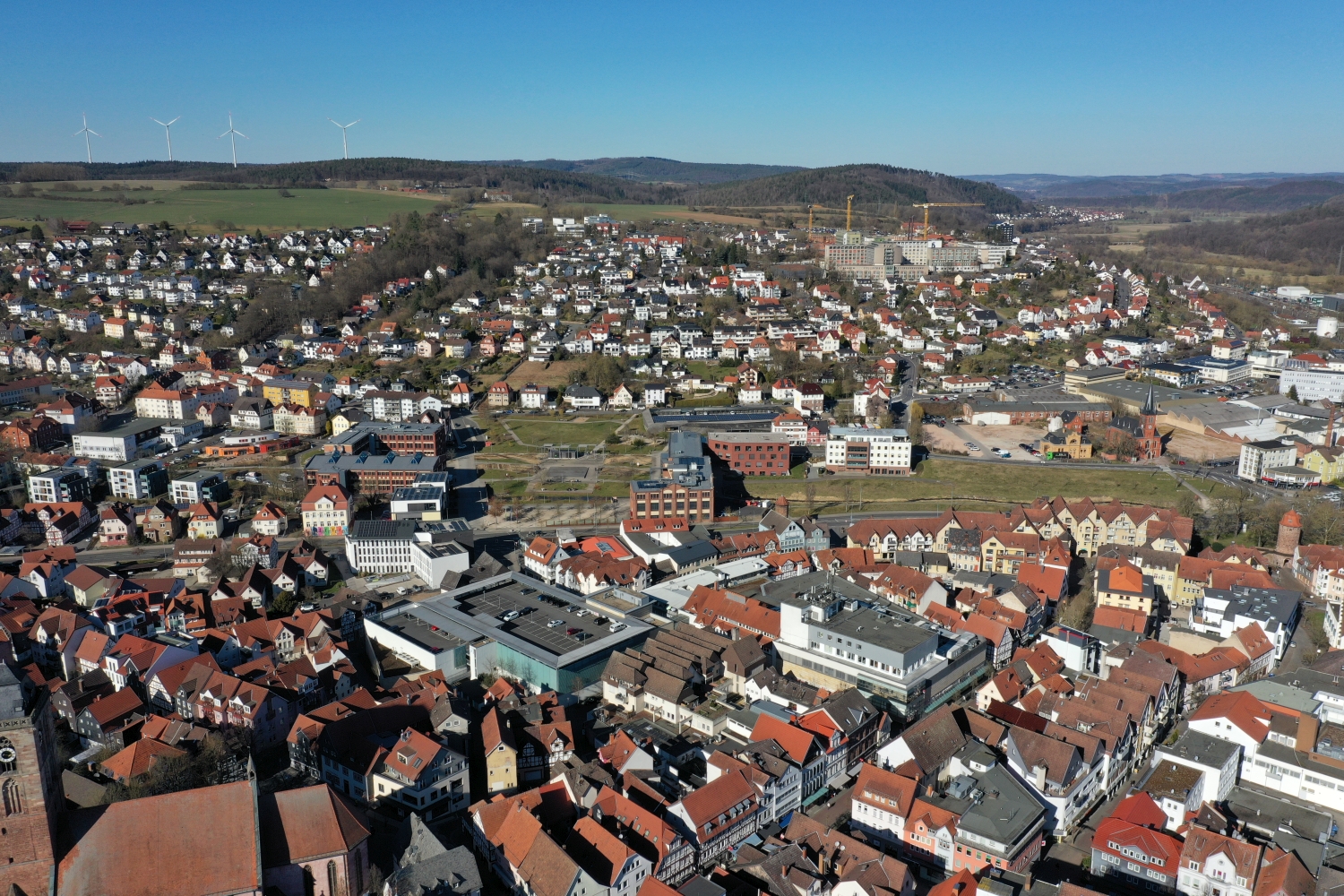
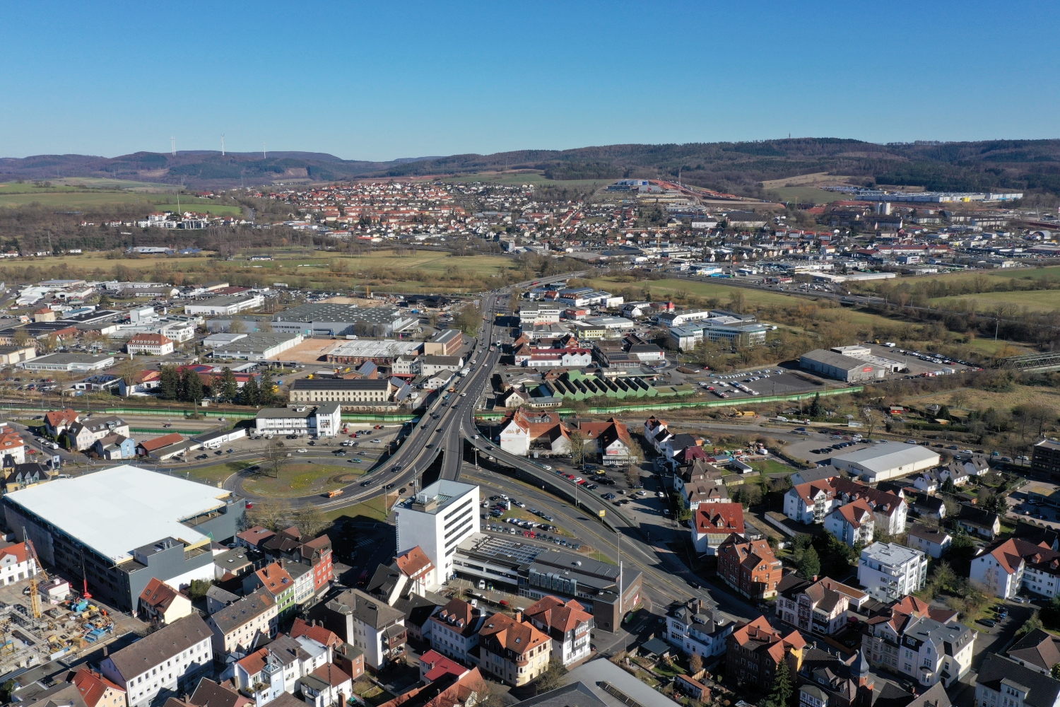
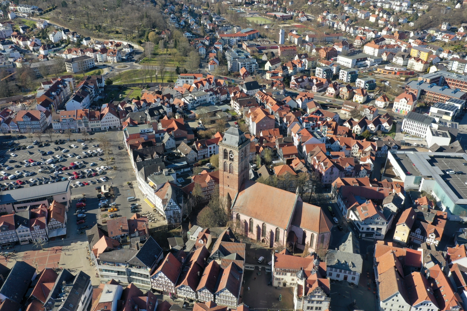
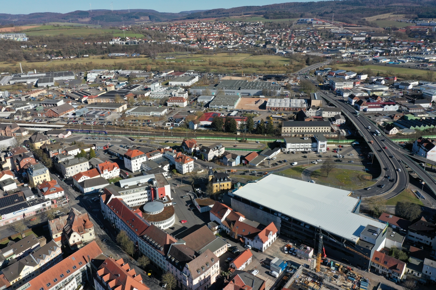
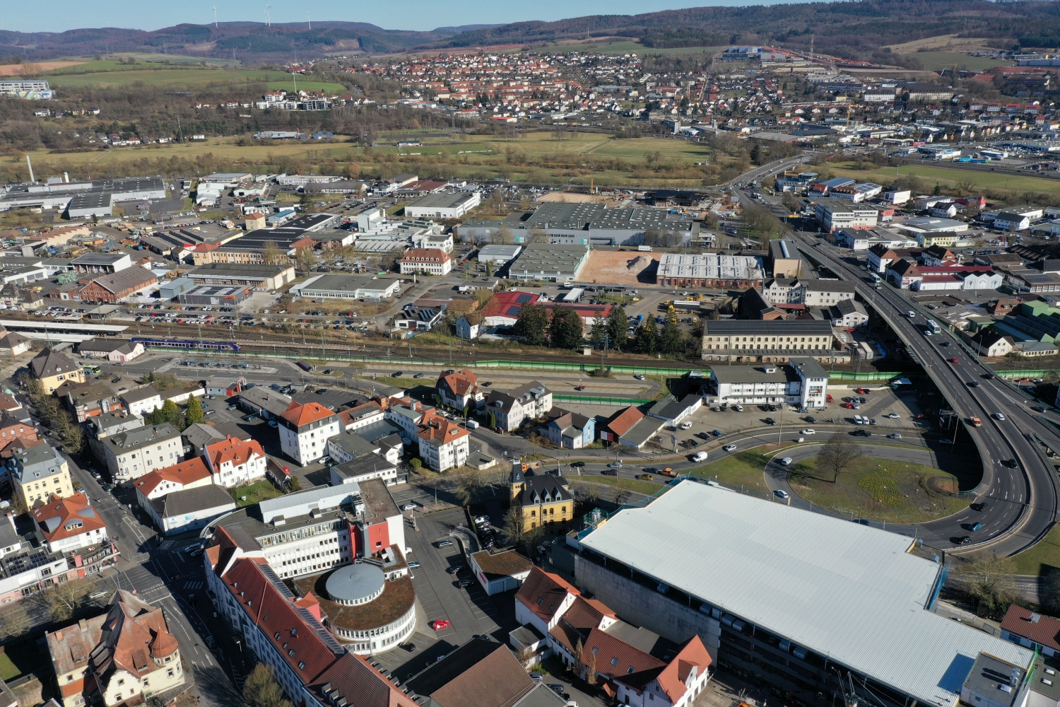
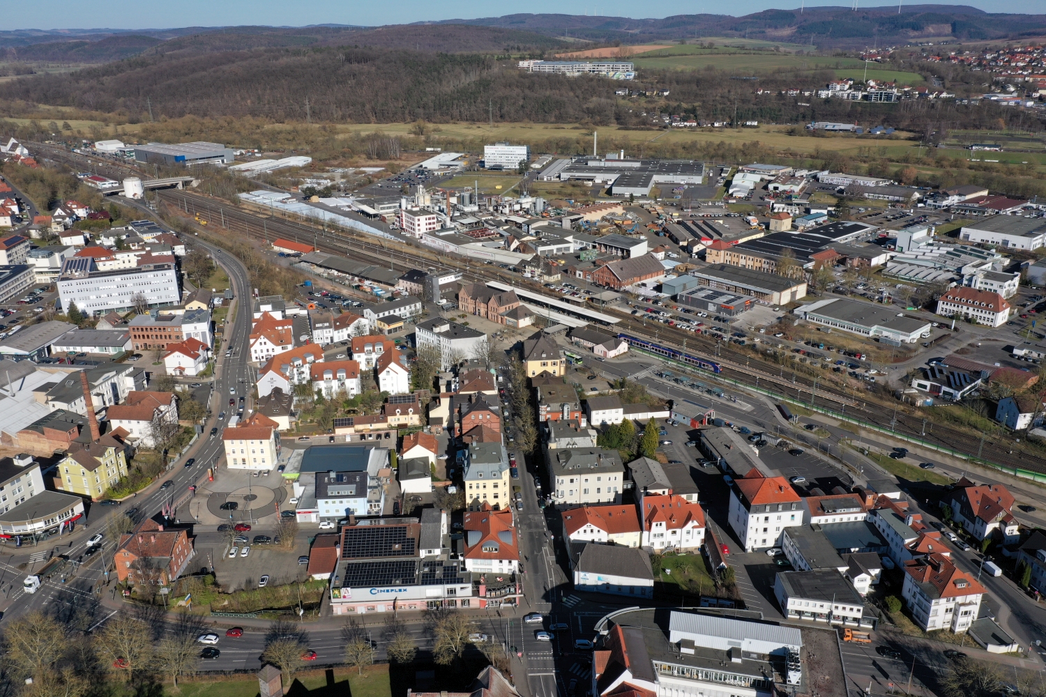
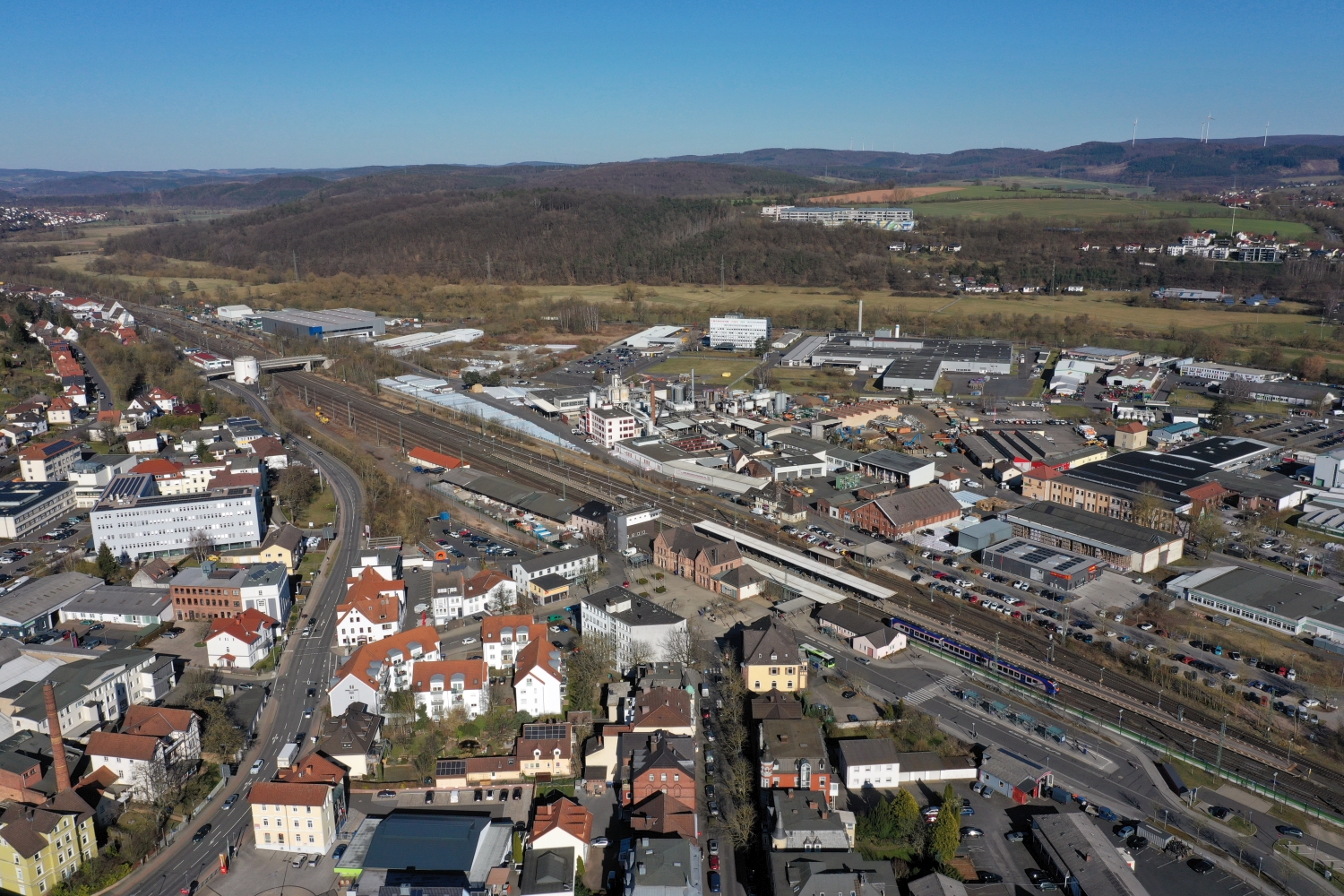
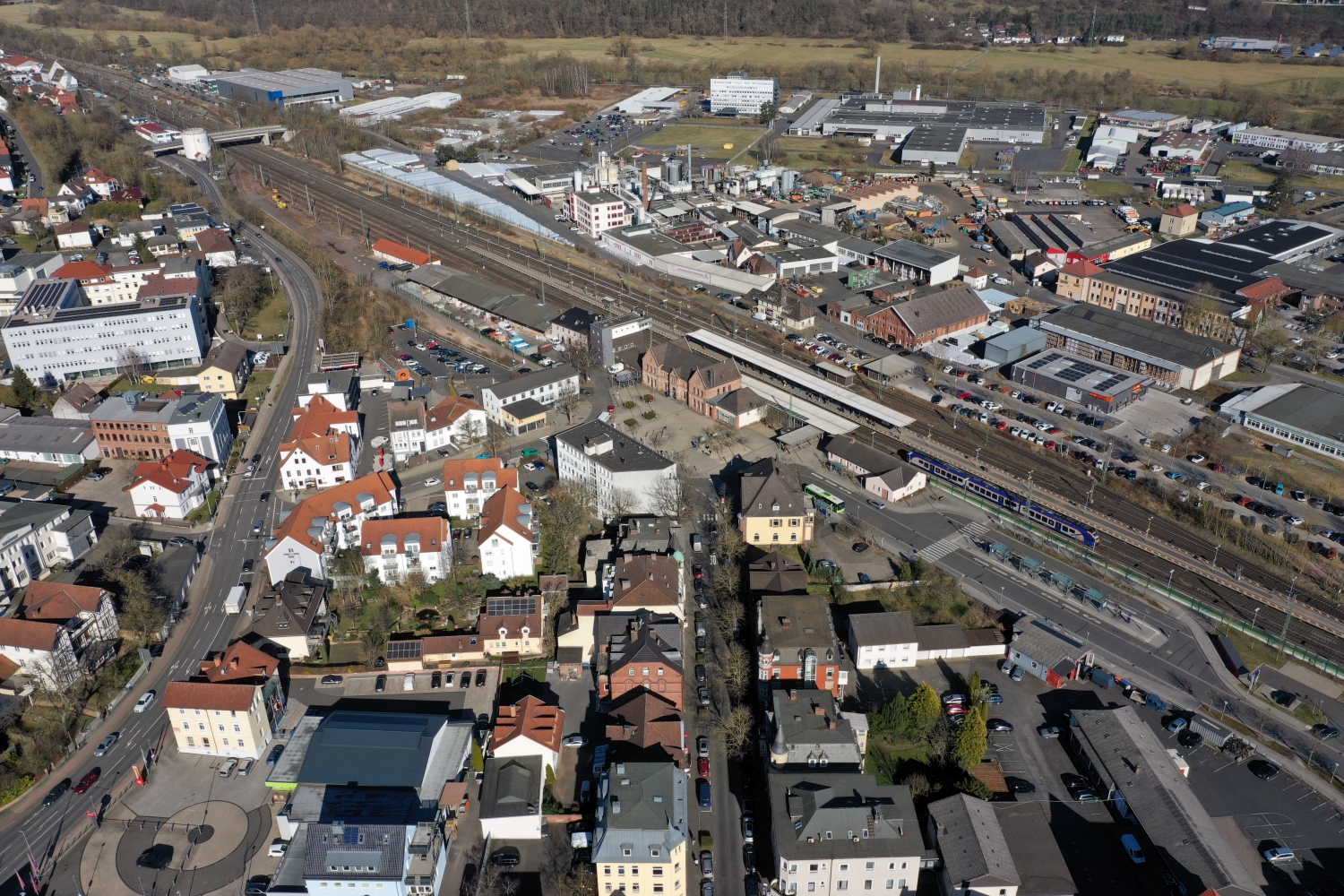
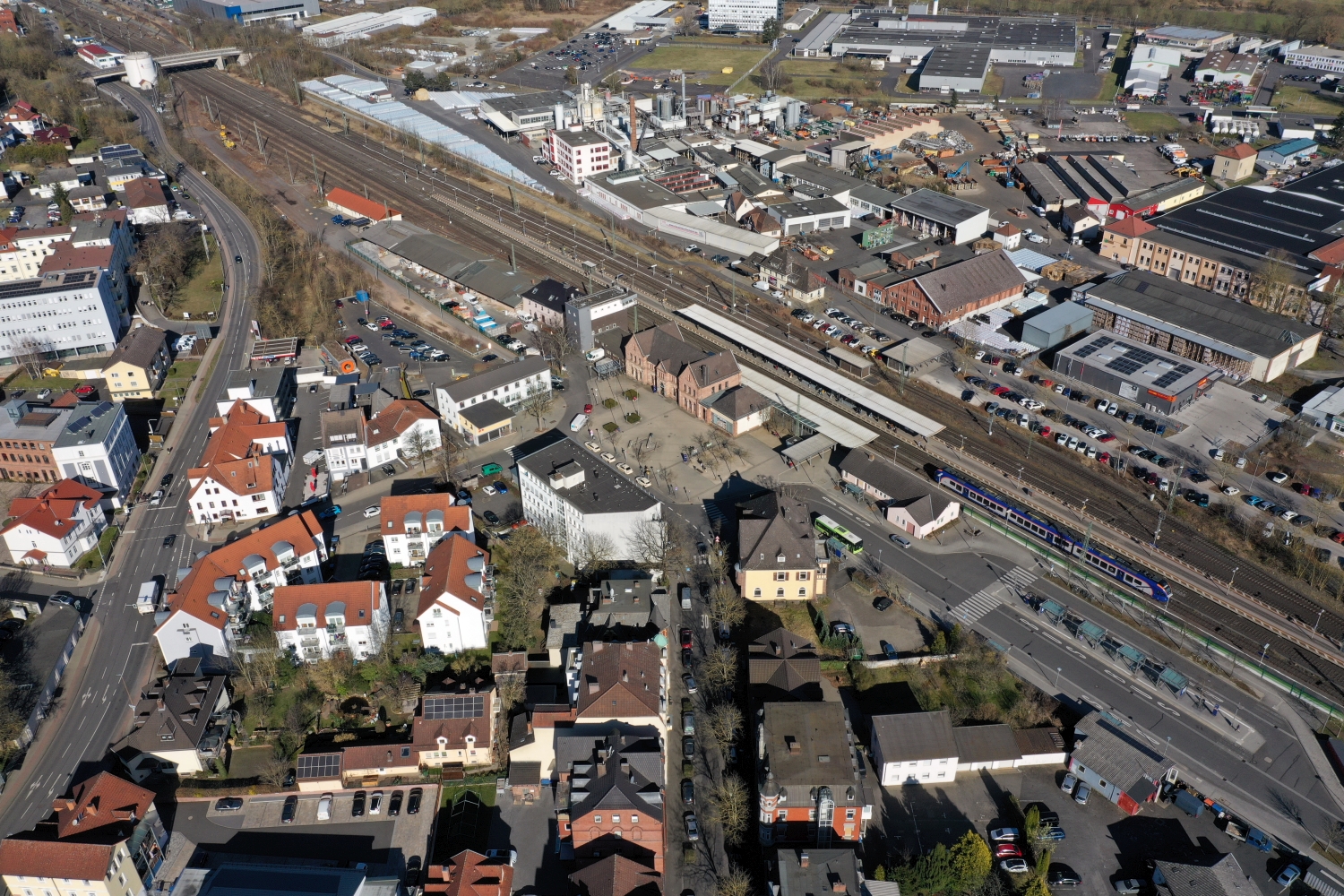
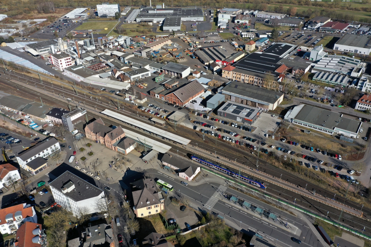
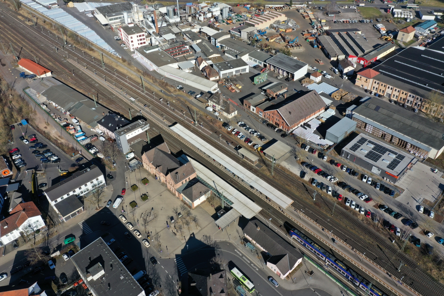
Town center at the foot of the wooded heights
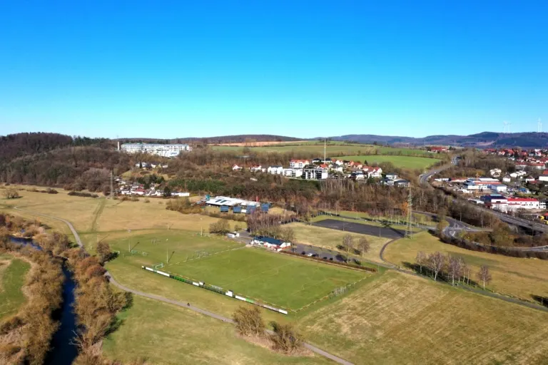
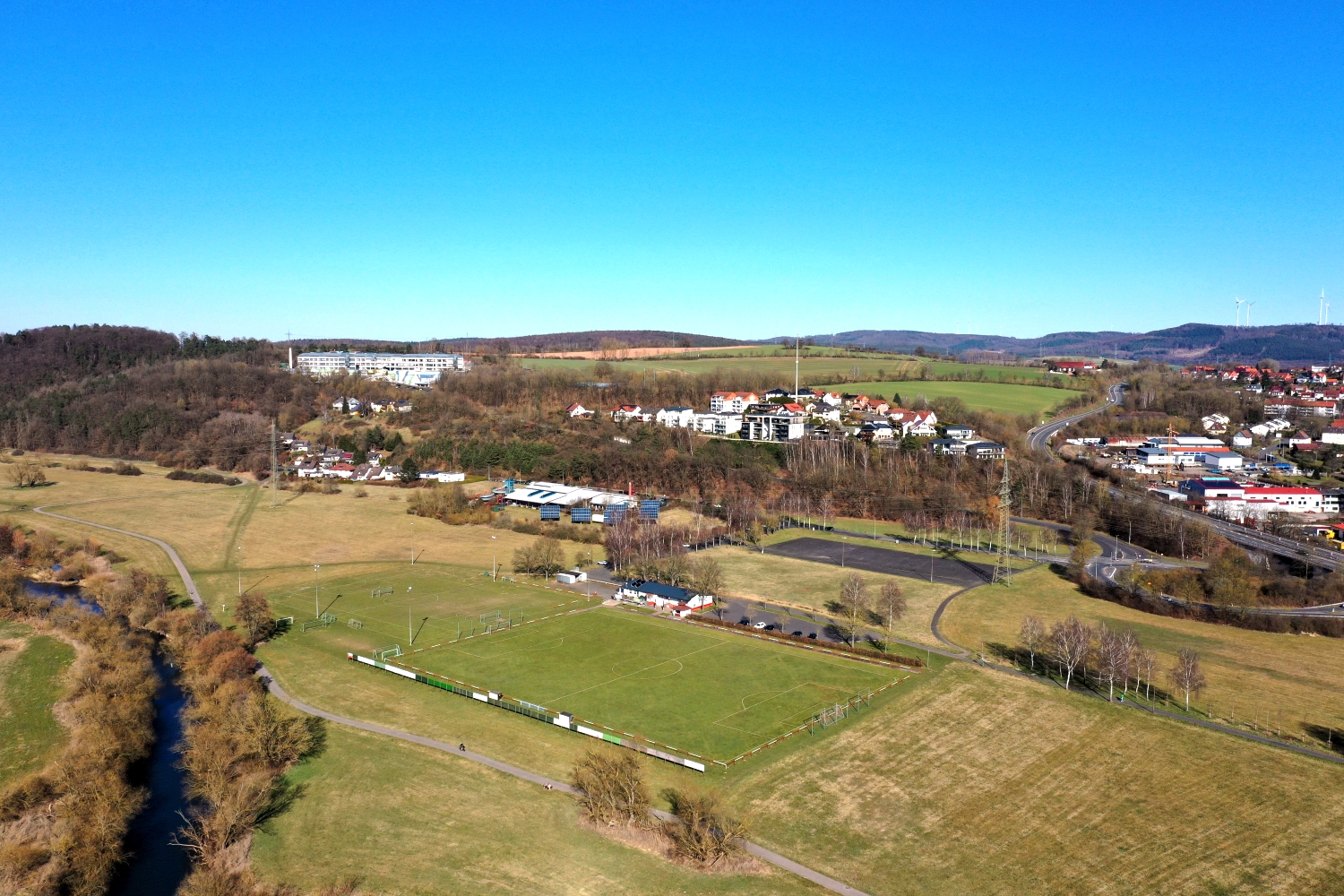
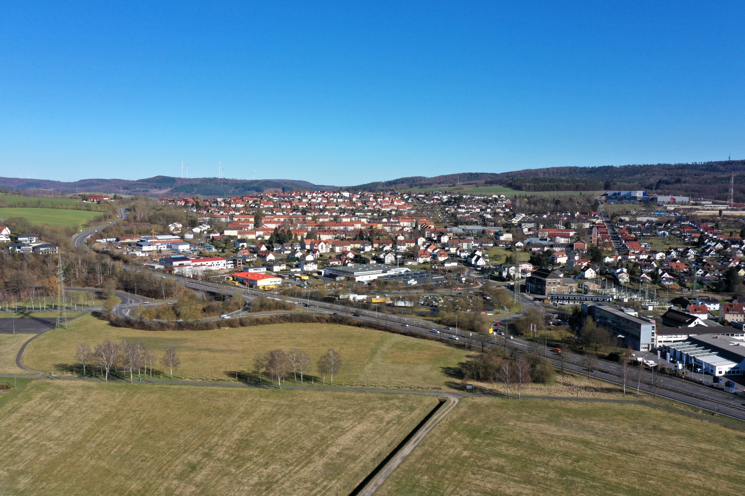
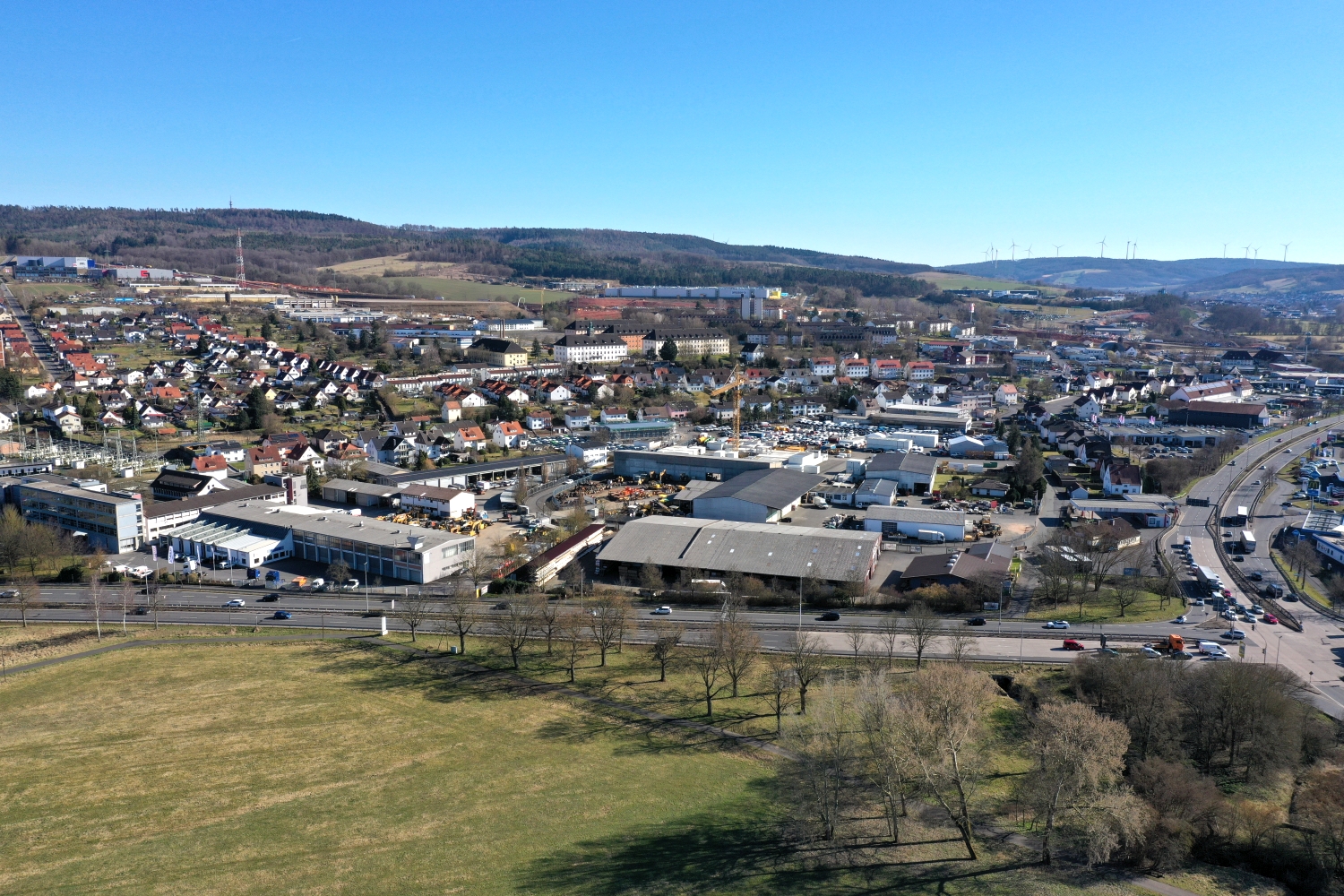
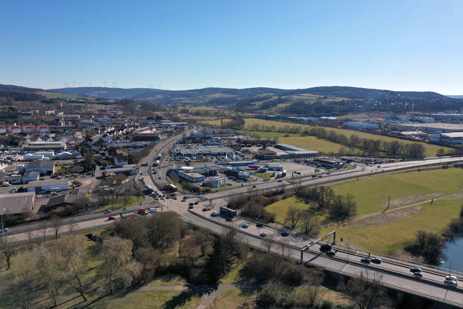
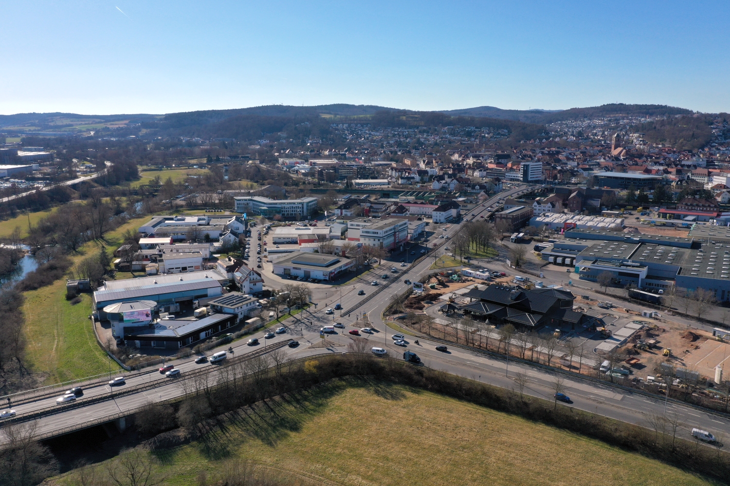
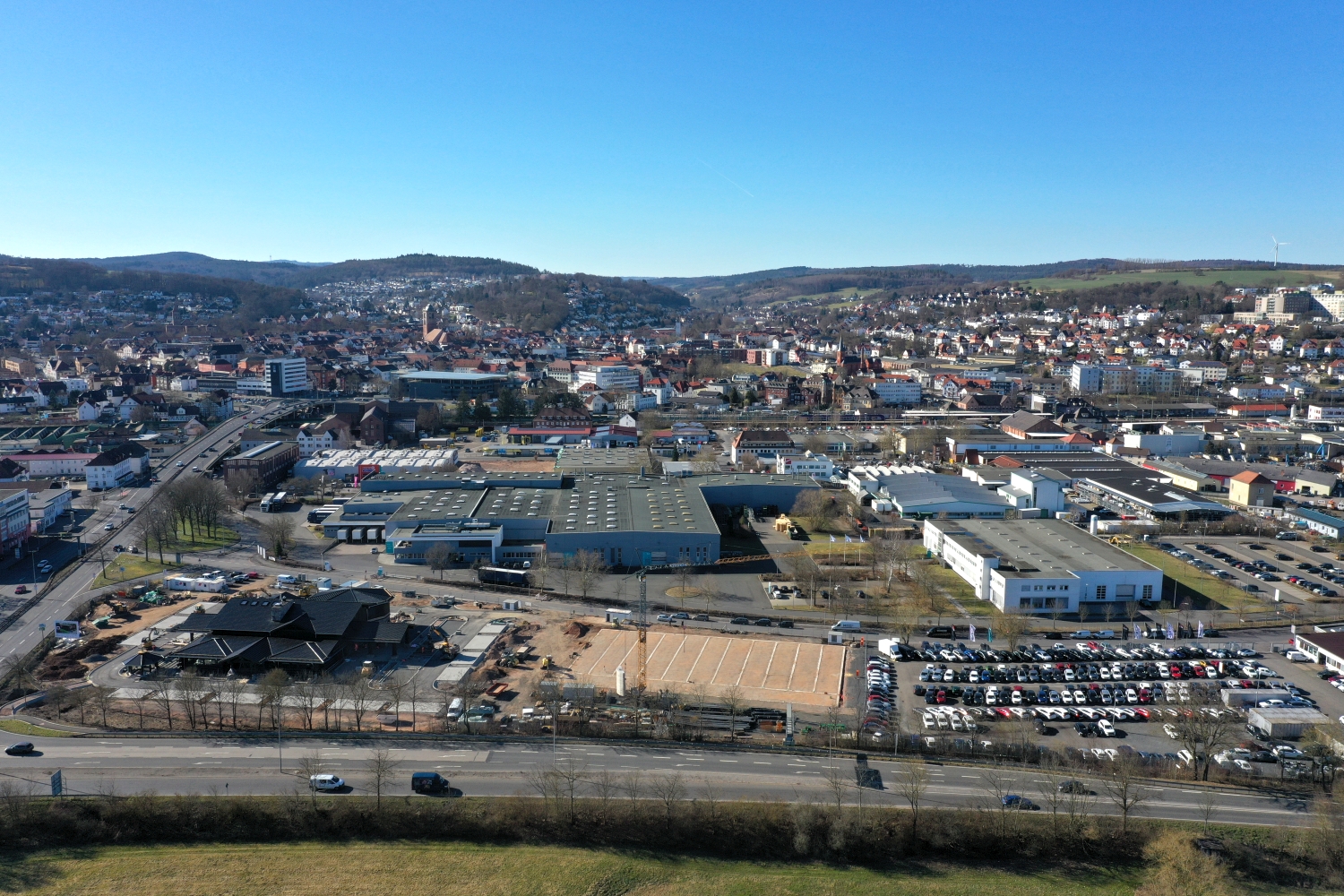
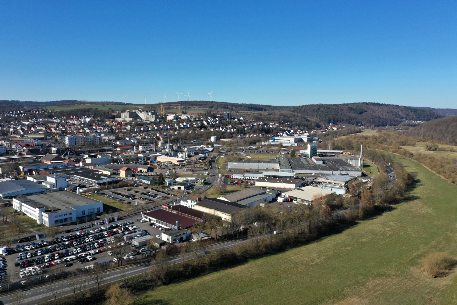
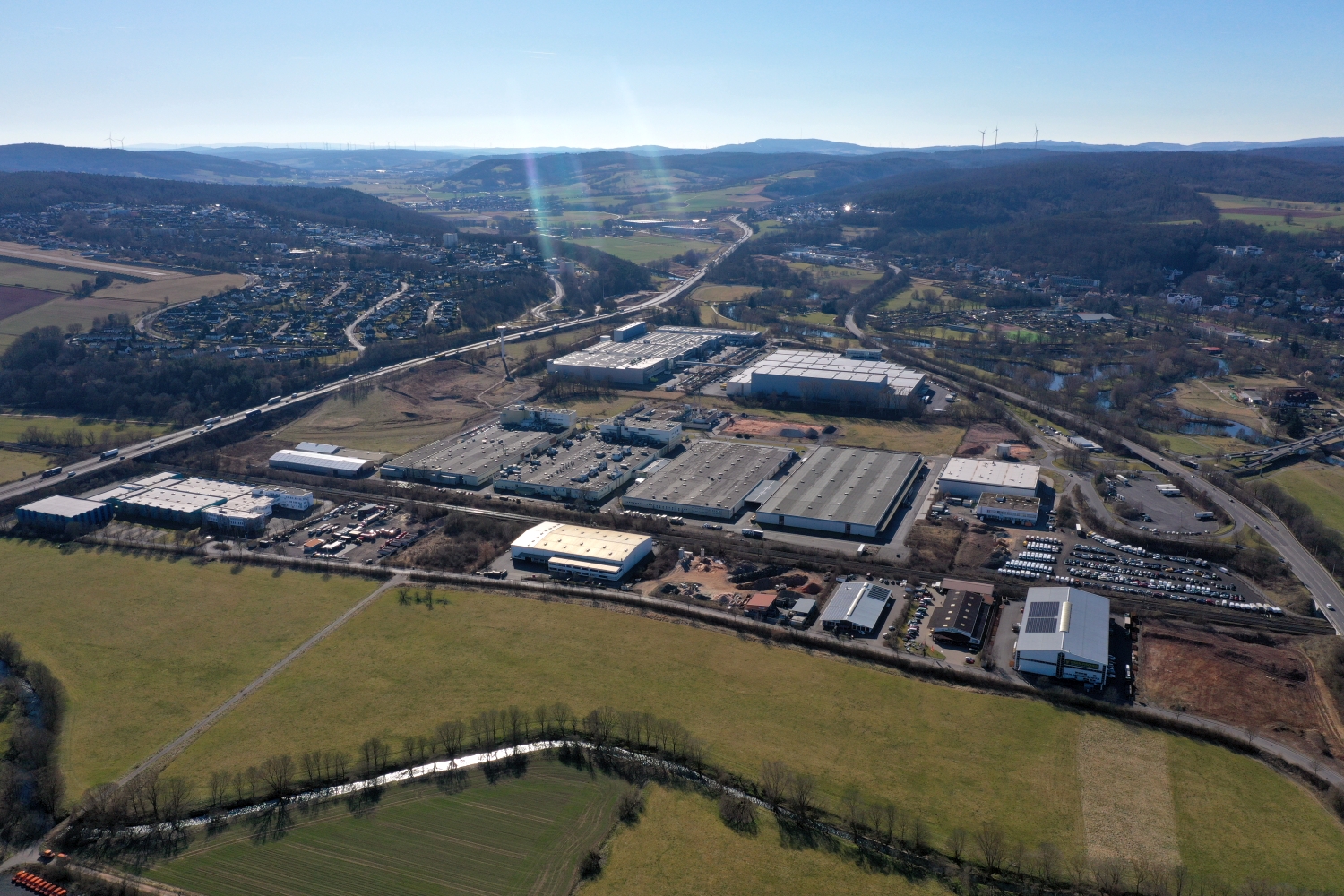
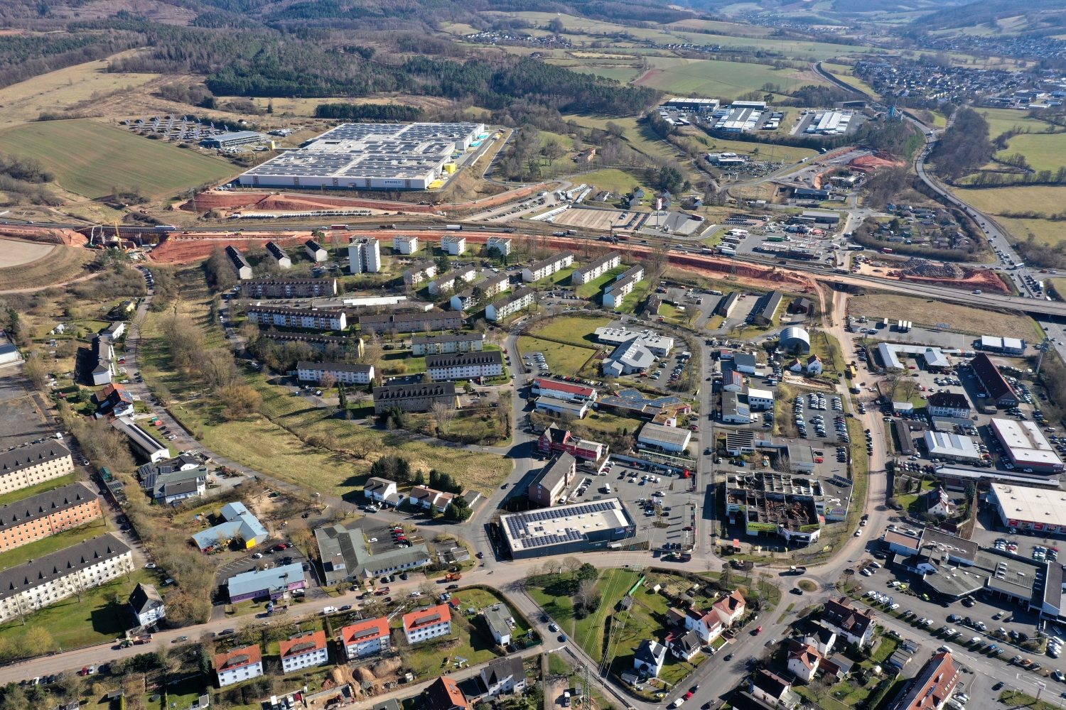
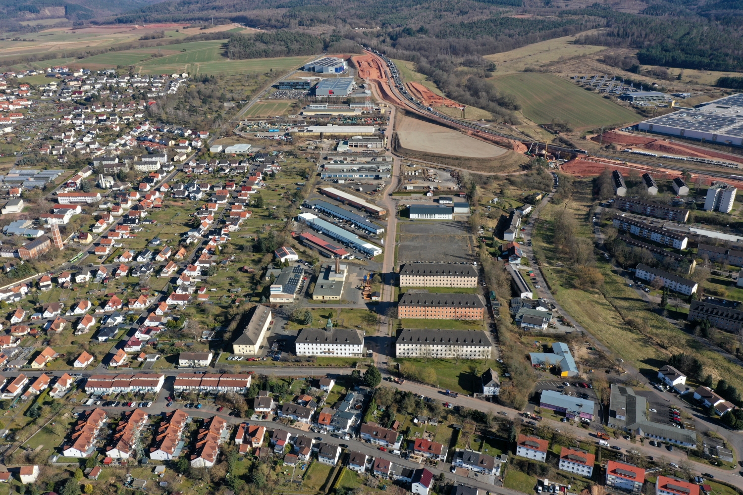
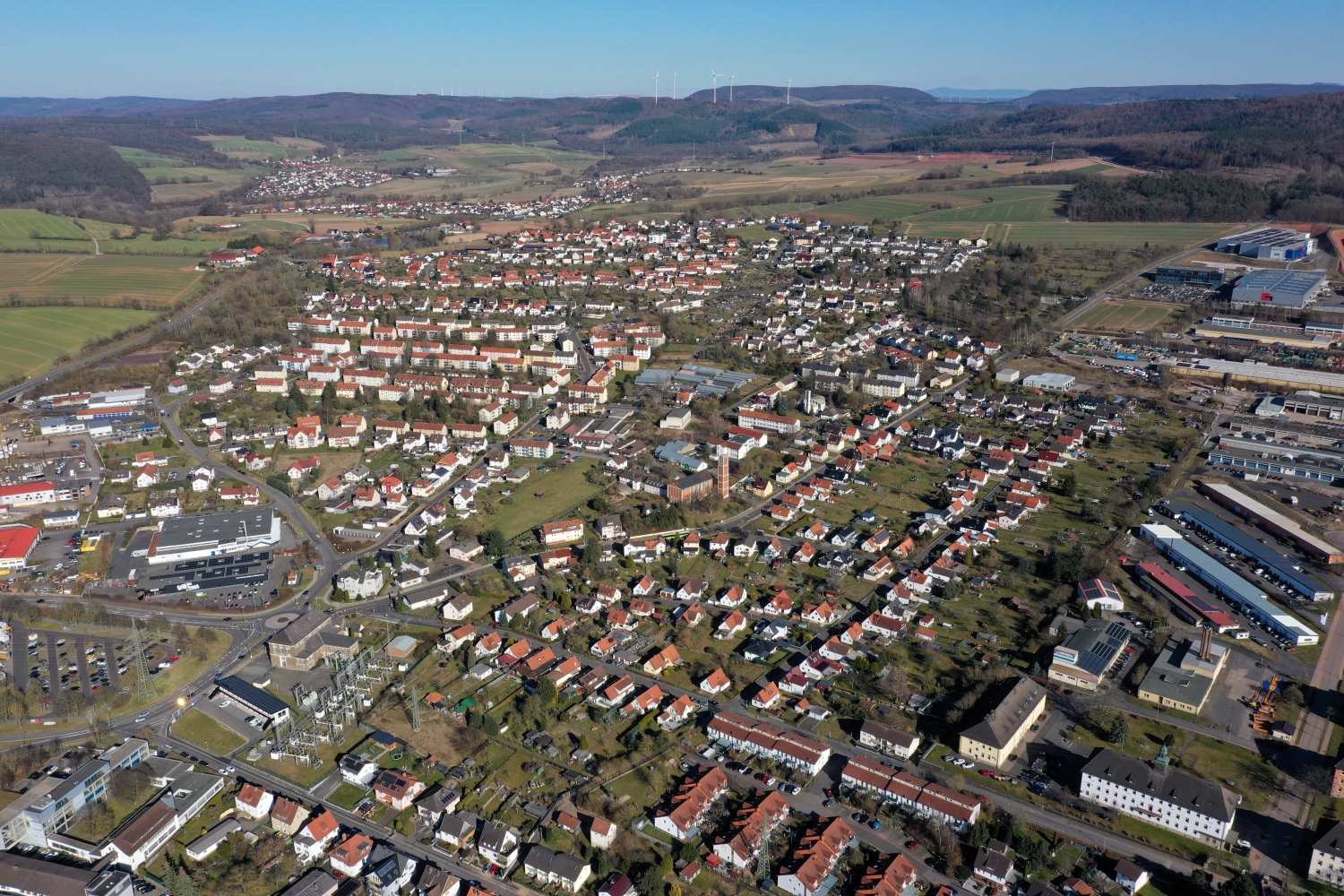
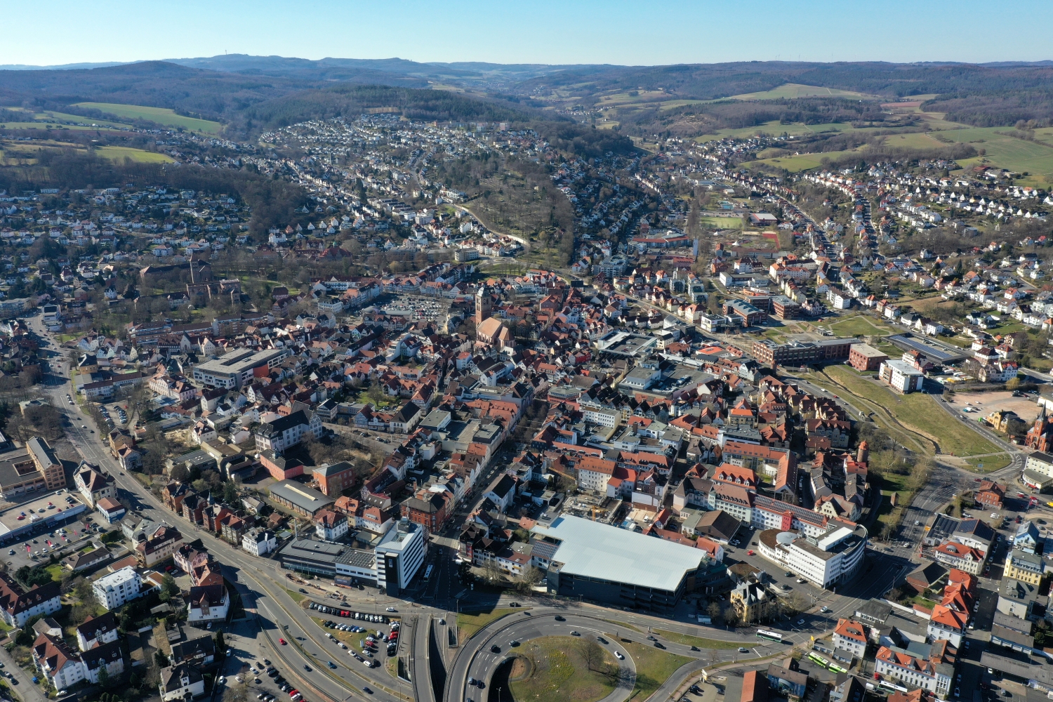
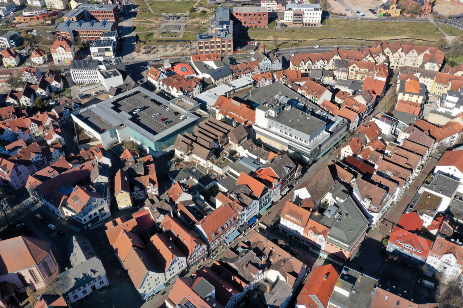
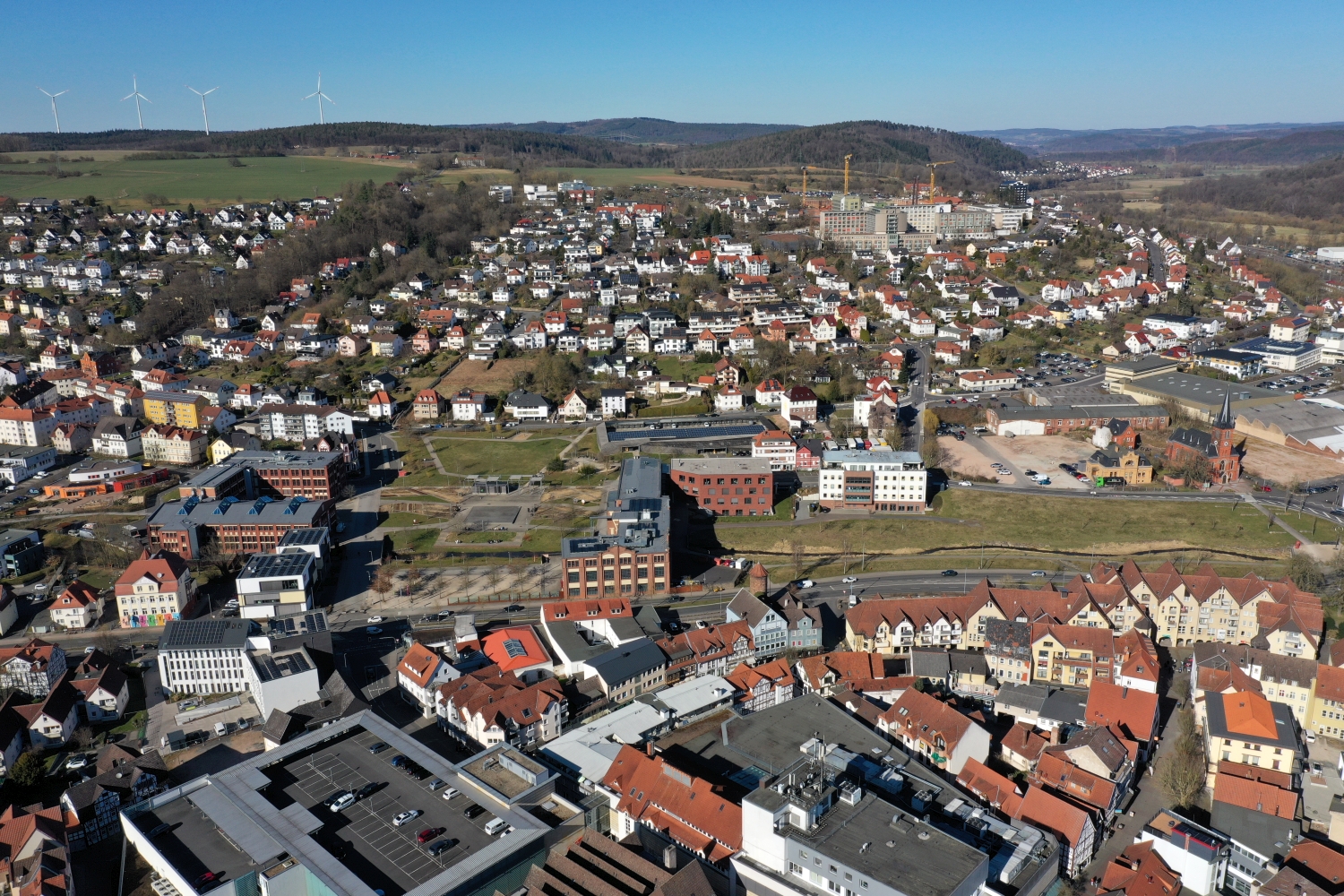
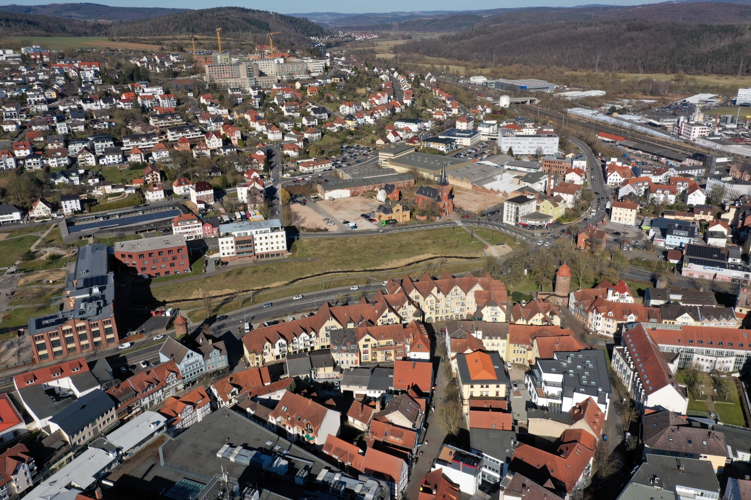
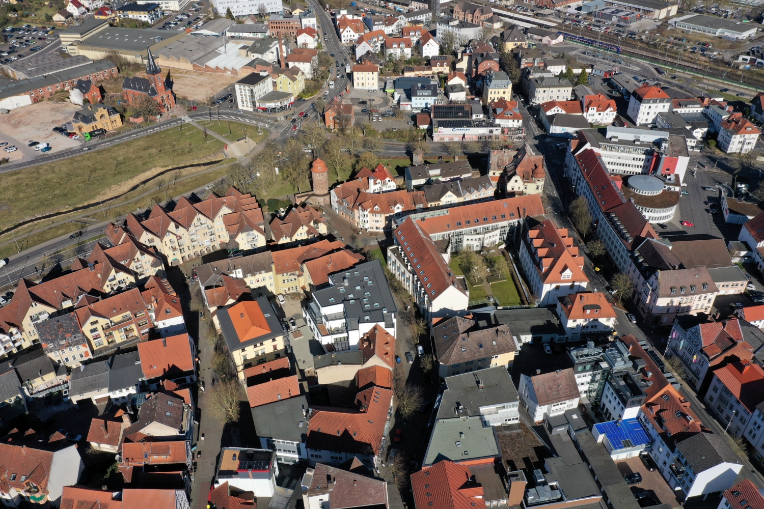
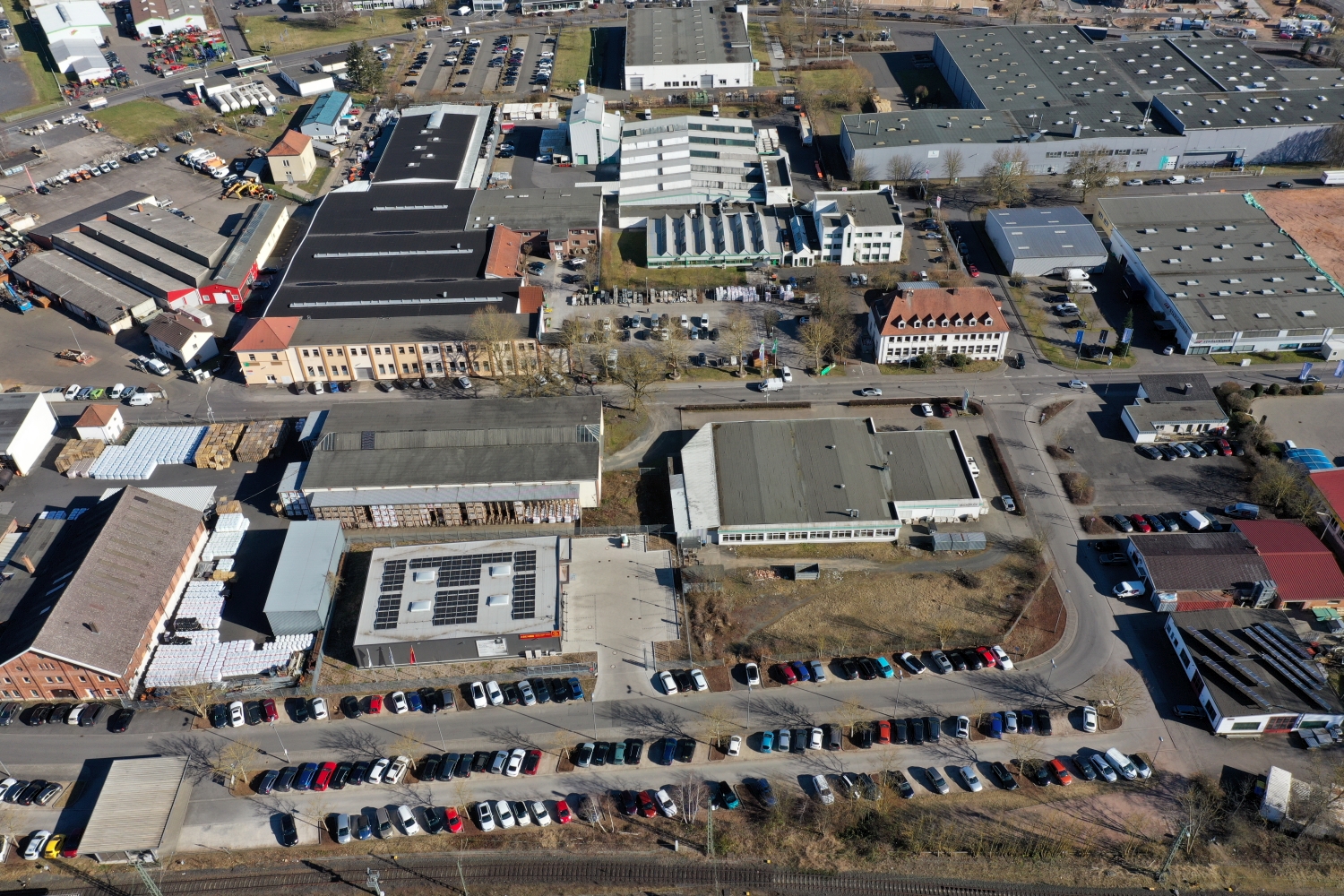
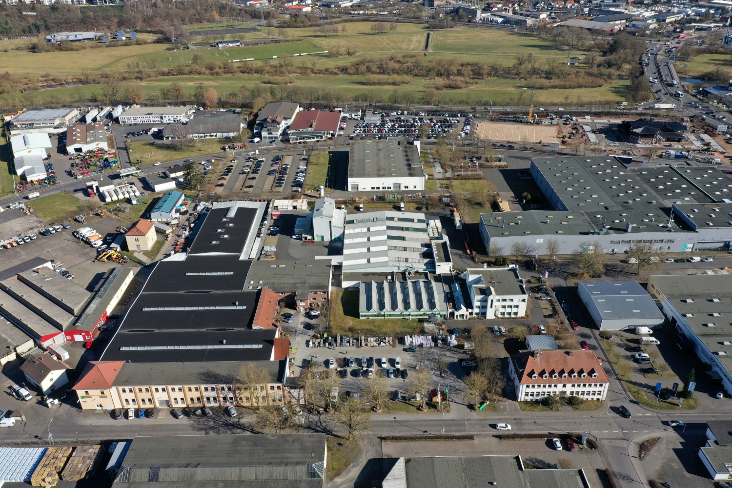
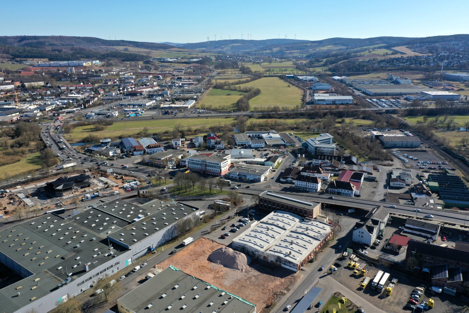
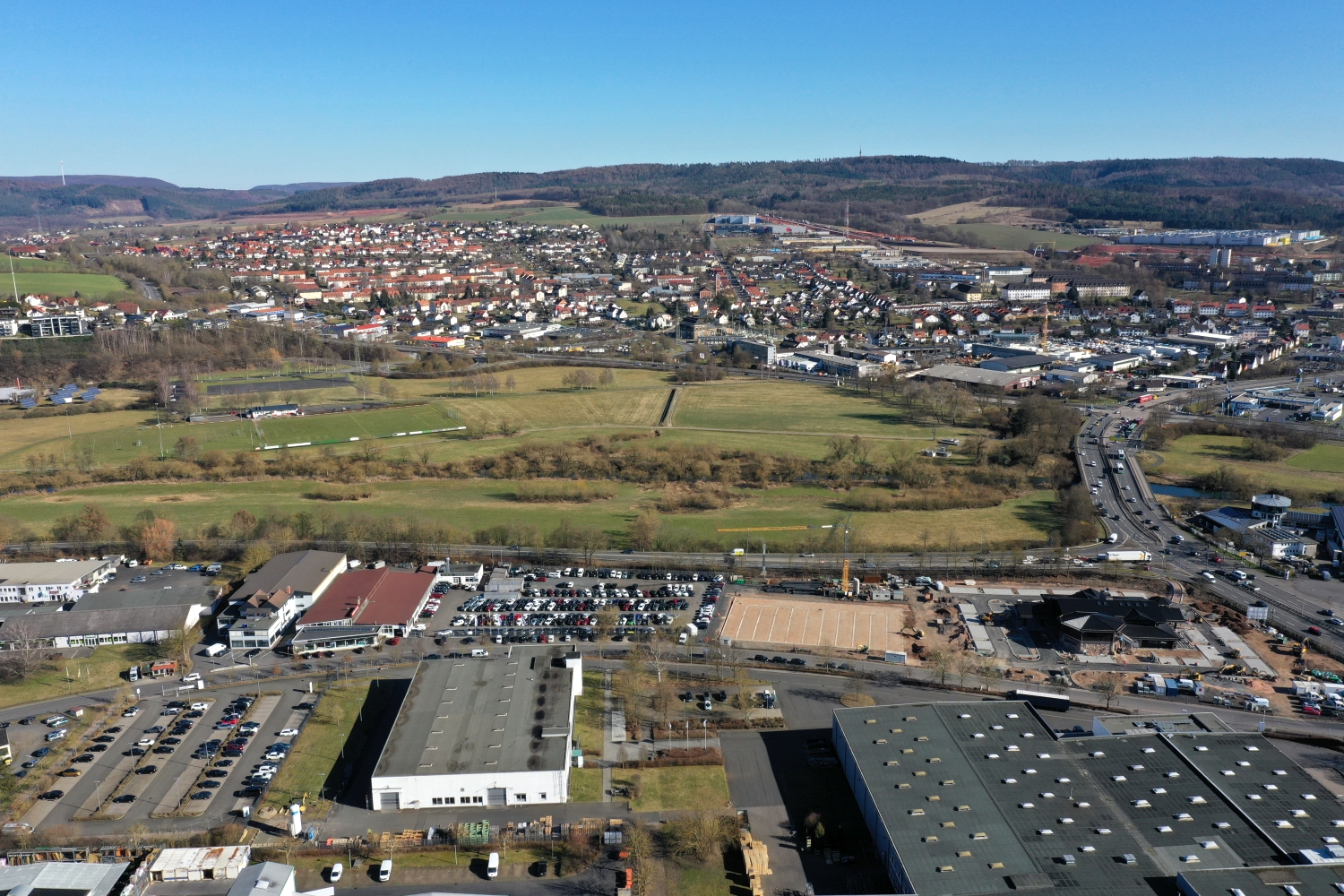
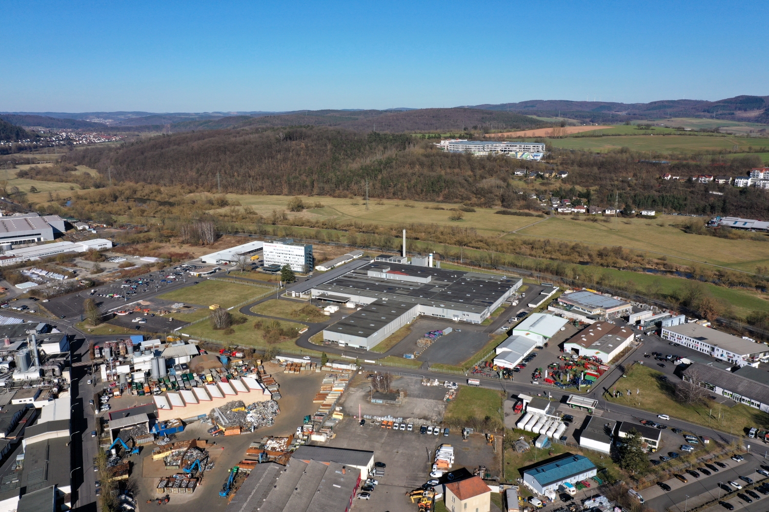
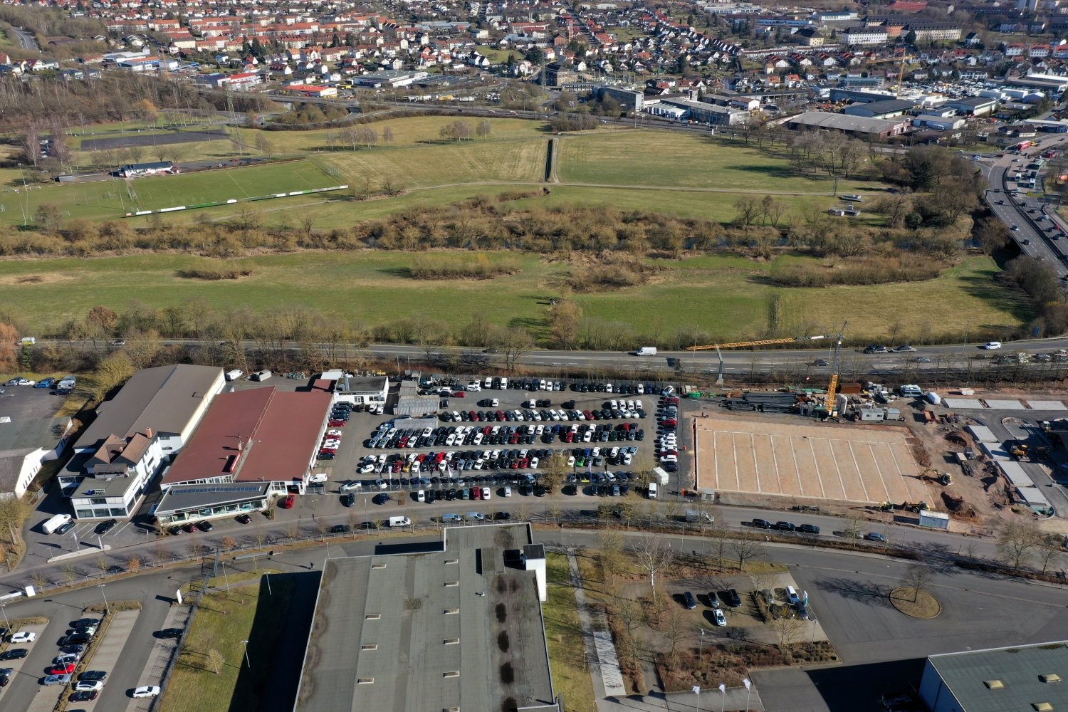
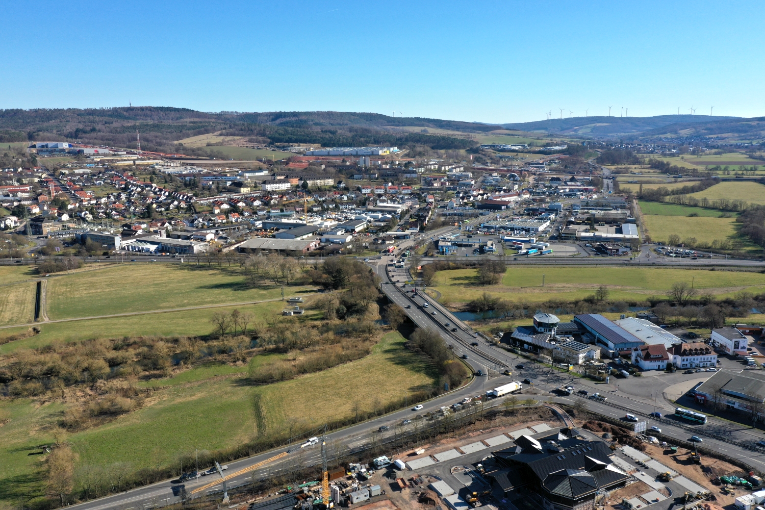
Bad Hersfeld almost changes color when you look at it from above. In the core, the red of the roofs predominates, while meadows and forests take their place on the slopes. Between the two you can see the rise from the valley based on the rows of houses.
Where the city merges into the hillside
Above Bad Hersfeld, the valley floor almost completely disappears under the buildings in places. However, a series of roofs leads to the edge of the slope. If you follow this trail, you get a feeling for how close the city center and the open air are to each other.
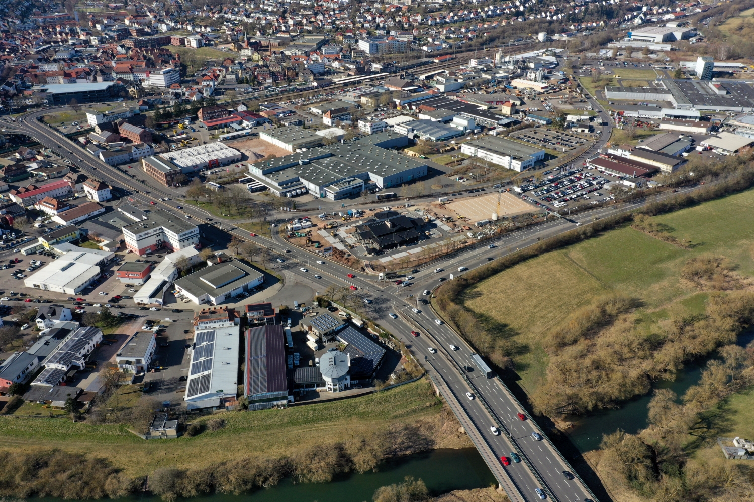
The gaps between the houses reveal how tightly built the place is. An inner courtyard opens up the roof structure, a treetop covers part of it, and a wide street separates two blocks. Anyone who looks at the photo can follow these gaps and get a clearer picture than if they tried to identify each building individually. A particularly suitable view for a city portrait is one in which the view from a clearly visible roof can move on to the neighboring streets.
Recognize the shape of the valley area
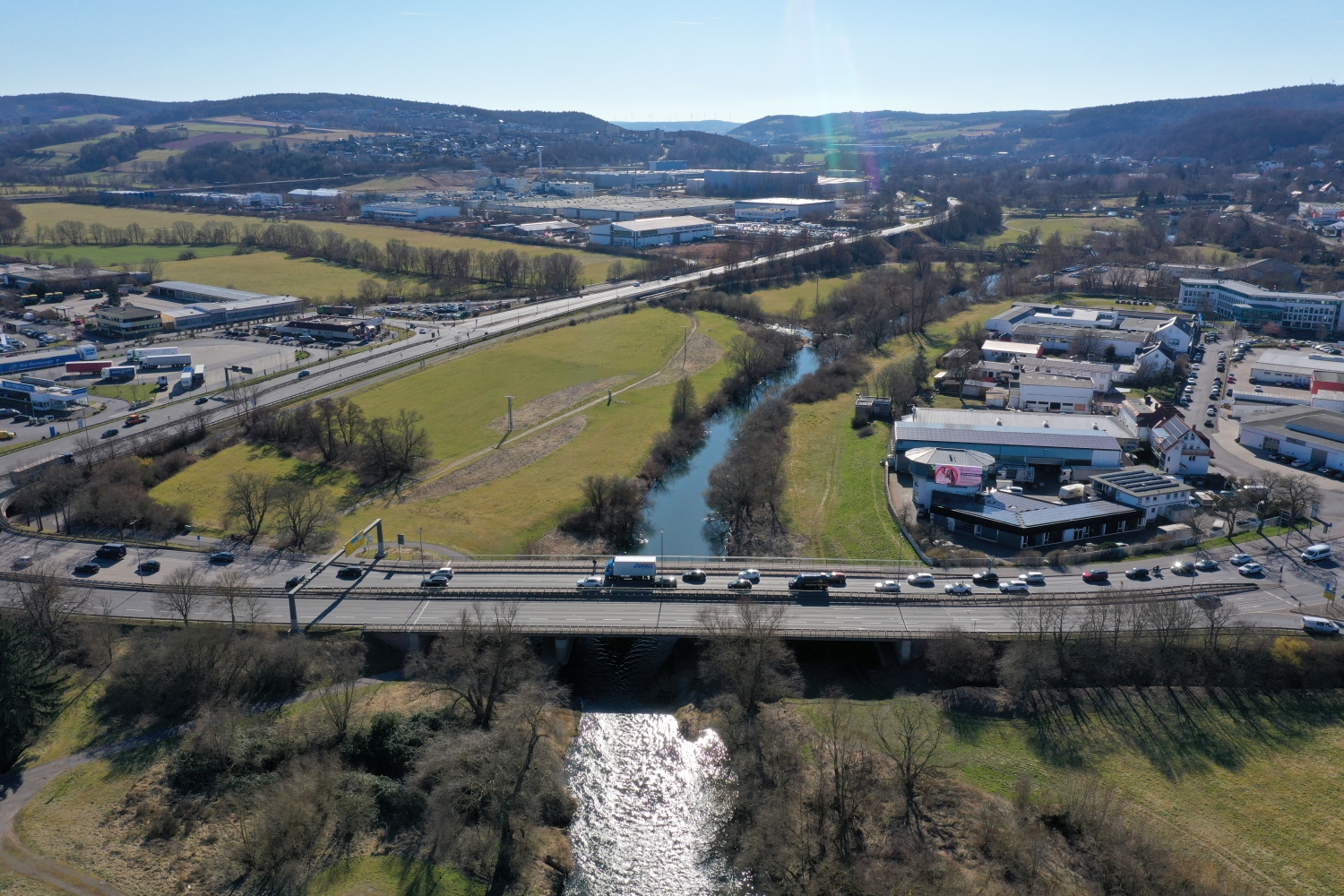
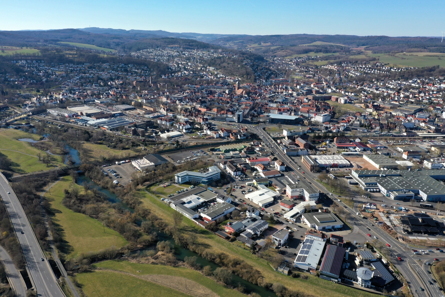
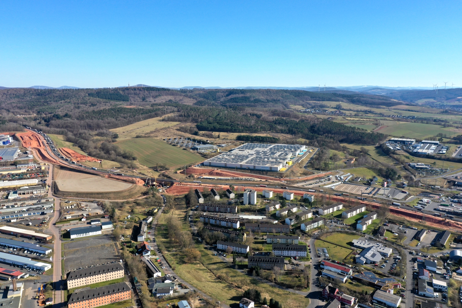
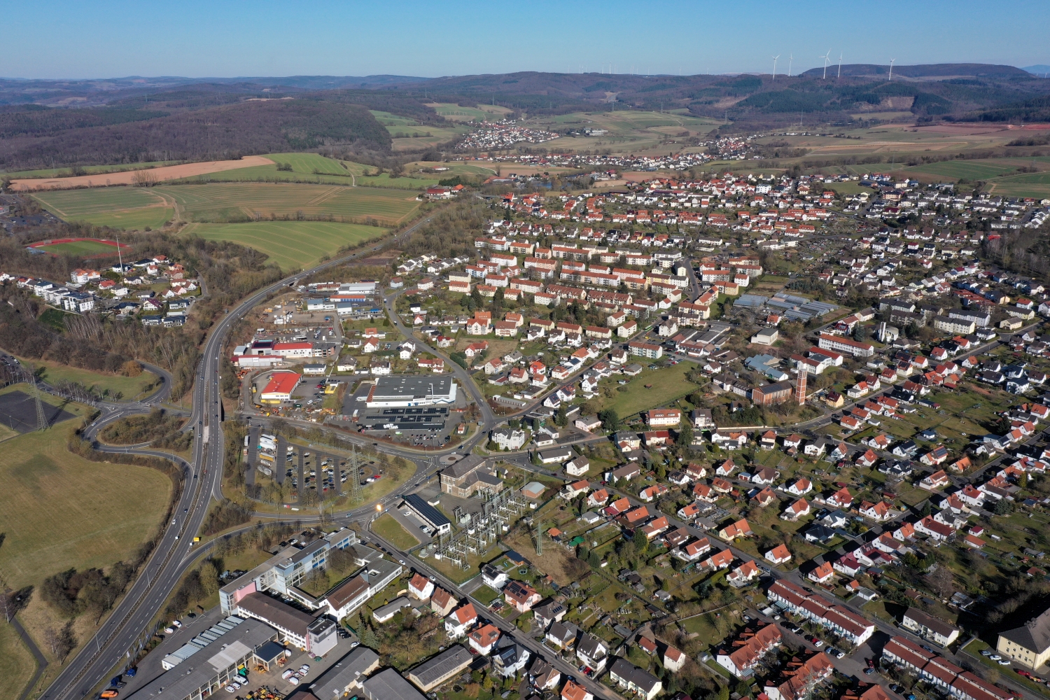
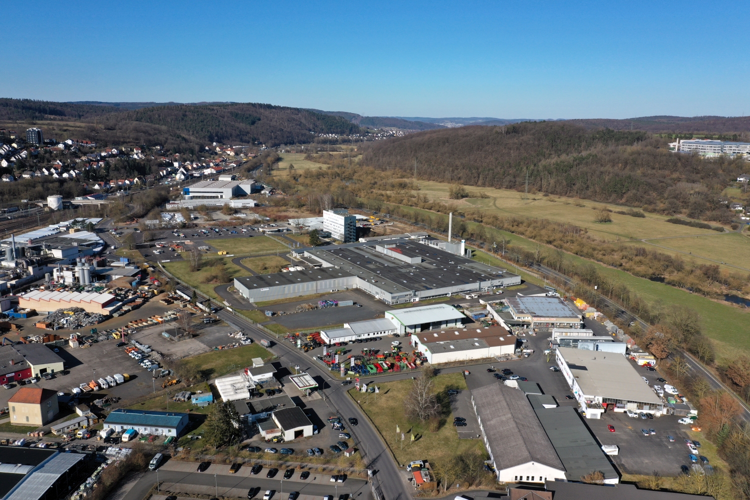
The location in a valley is made clear in the aerial photo by the lateral boundaries. A nearby slope pushes forward in front of a distant one, and the valley floor opens up in between. If the section is too narrow, it can easily give the impression of a flat surface. A shot with a bit of a slope at the edge of the image preserves the context. Orientation is particularly successful when there is also a familiar size comparison, such as a street or a house. The eye can then better assess the depth between the individual landscape levels.
What becomes visible on the edge of town
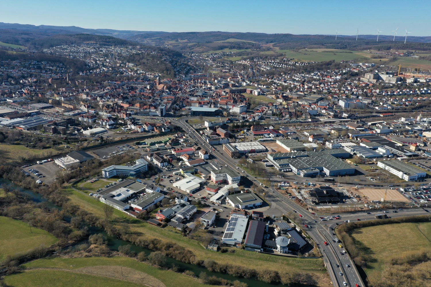
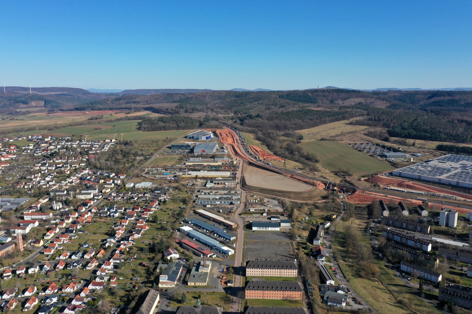
On the edge of town, several scales come together in a small section. On one side there are individual buildings with gardens and driveways. On the other hand, a single open area sometimes takes up as much space as several streets. This change can be shown in the picture over a common edge. A section in which the border between the two areas remains visible even when displayed narrowly is suitable for a website. The motif then retains its local reference even in the mobile view.
The distribution of blue tones
Among the 70 photos in the gallery, shot 60 and shot 7 provide a good starting point for the comparison. In the first excerpt, shades of blue play a smaller role. In the second shot, blue areas take up more space. Blue can extend over a large contiguous area or only appear in individual parts. What also counts for the effect is whether these areas extend to the edge of the picture or surround the main subject.
The camera captured March 19, 2025 for shot 1 and shot 70. The time interval between these two views is approximately 8 minutes. ISO 100 and an exposure time of 1/640 second are recorded for both files.
Prepare a cityscape for readers
A local person will often recognize a street by a single roof. Anyone who sees the city for the first time needs more clues. For a city guide, a short caption can best start at a visible intersection and lead the eye from there to the actual subject. The aerial photographer sees the surroundings outside the section while taking the picture. Readers will later only see the published area. Especially when cropping later, it is worth checking whether the connection described can still be seen in the final image.
More aerial photos for comparison
Two further articles invite comparison. In the first, Bebra, a different detail is in the foreground. In Bebra, the red oval of a sports field attracts attention. Then Bad Orb is a good option. In the series about Bad Orb, the distant houses are covered by a fine veil of mist.