 F4LUFTBILDER
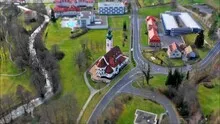
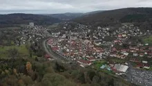
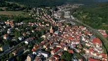
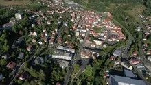
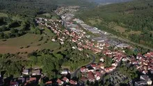
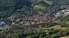
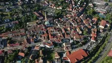

Bad Brückenau and the green facilities
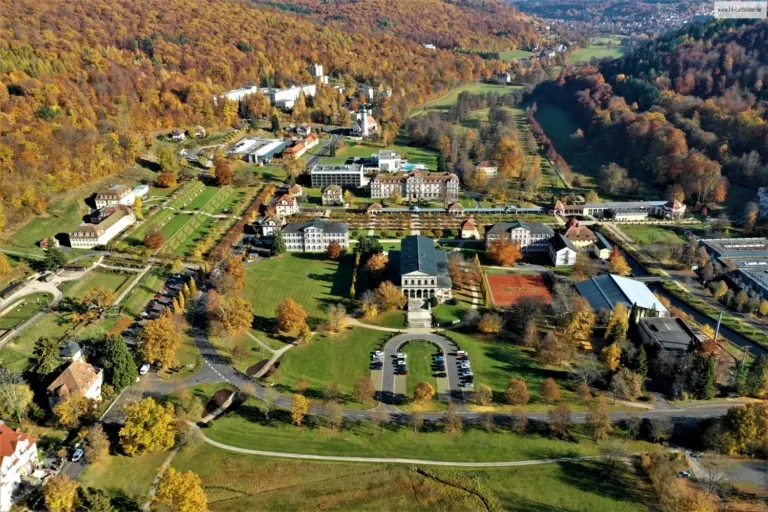
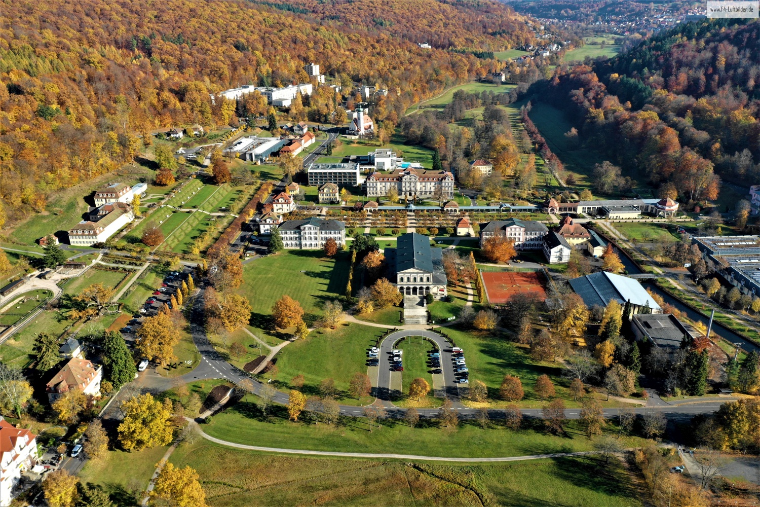
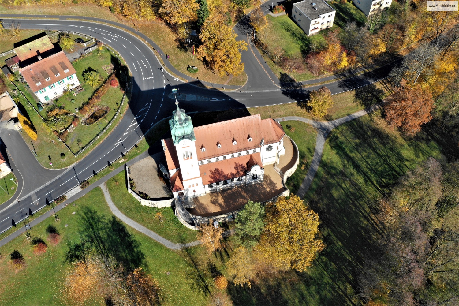
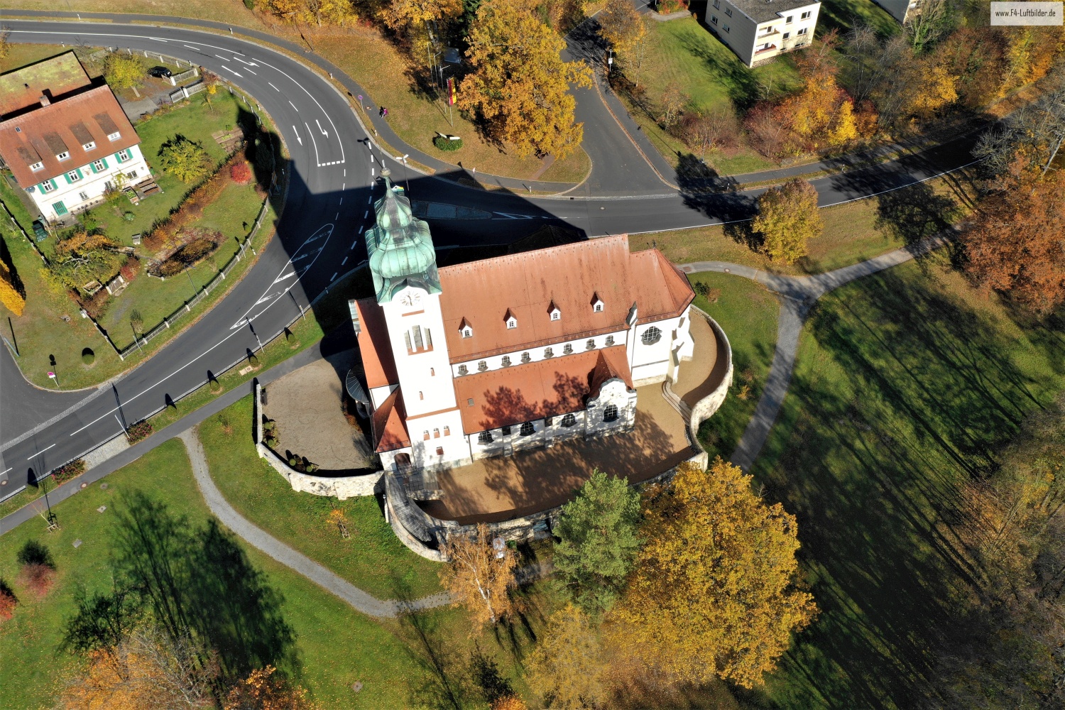
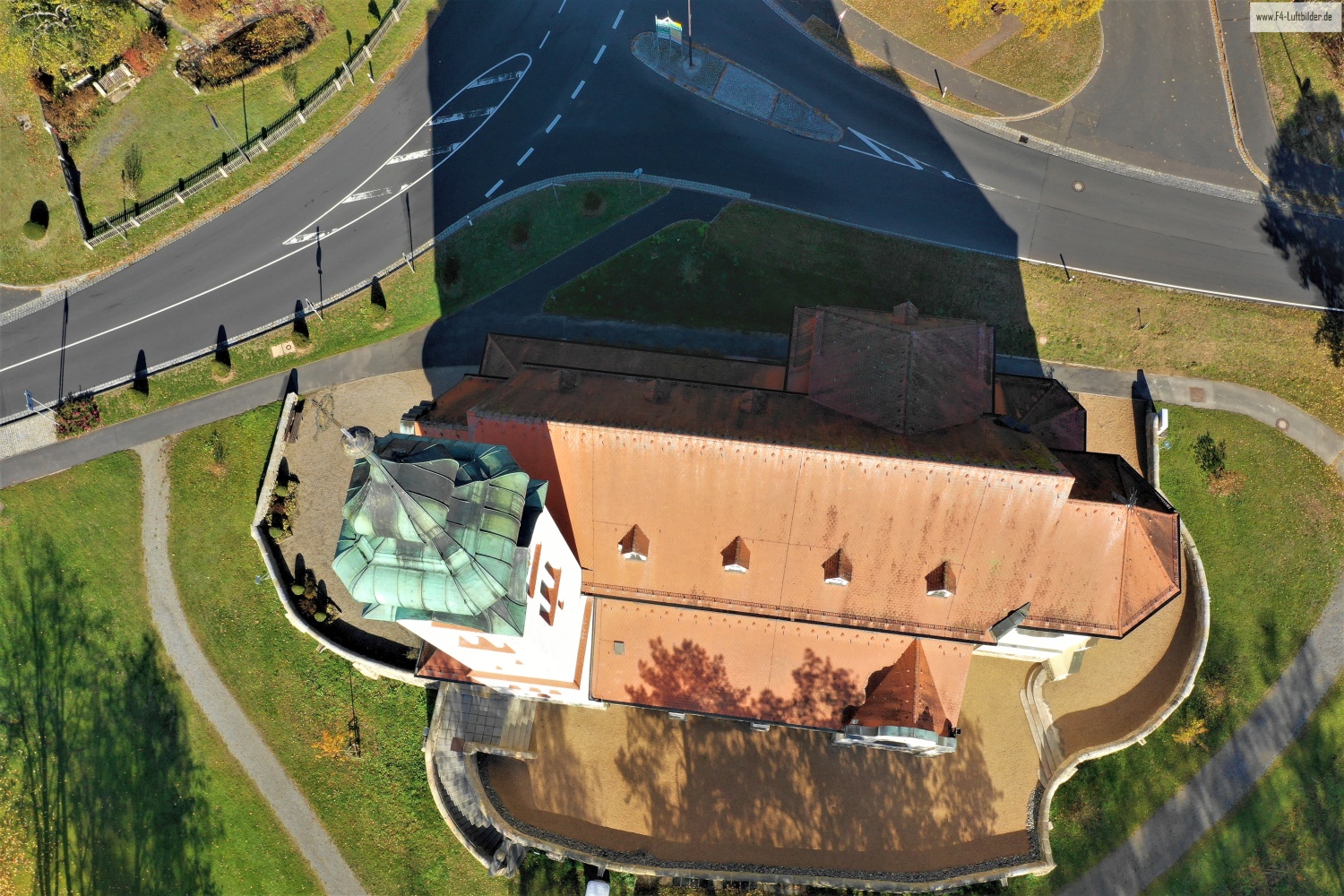
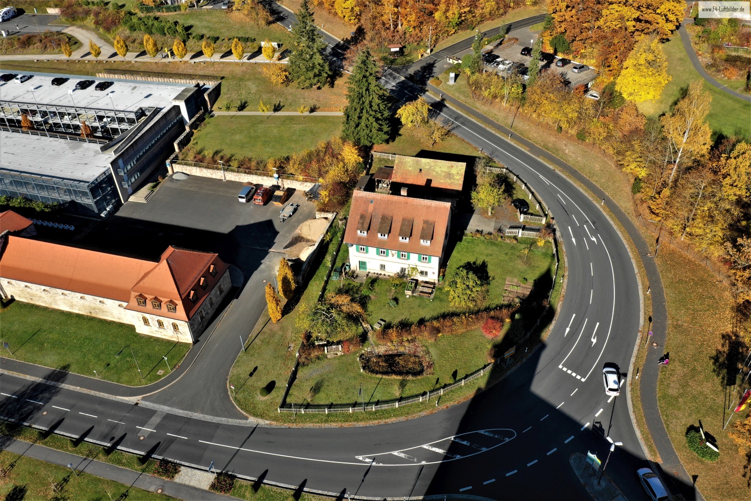
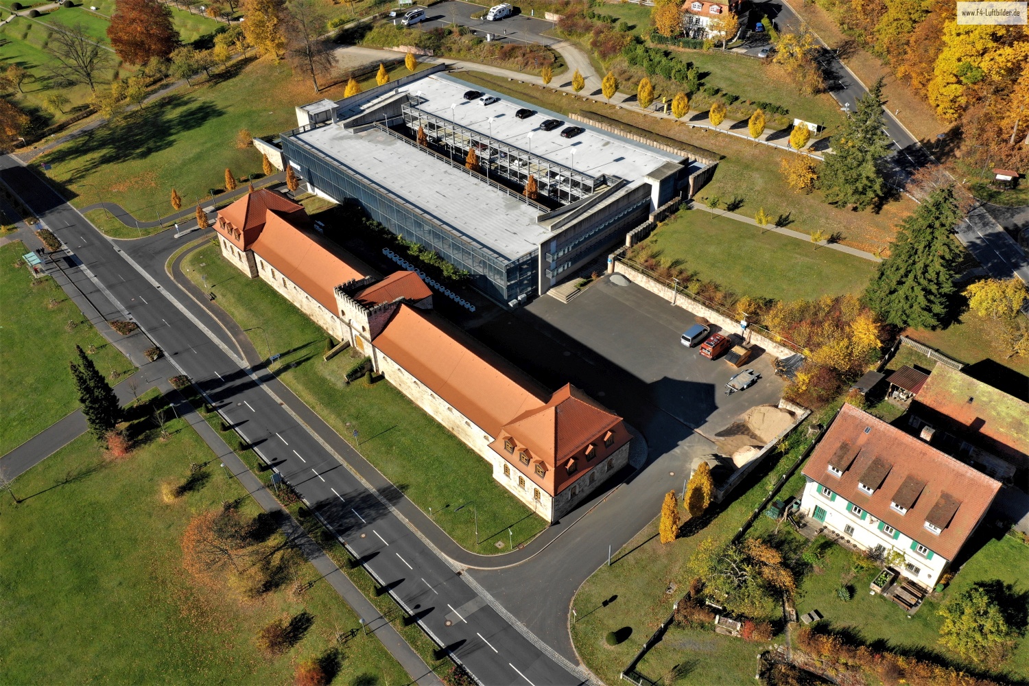
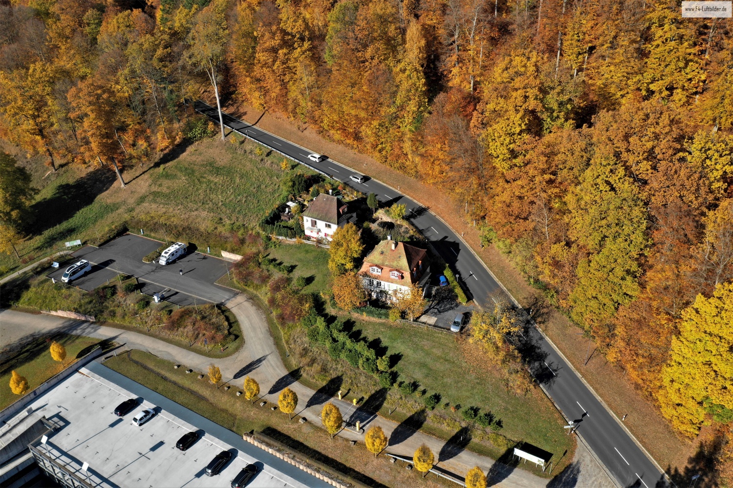
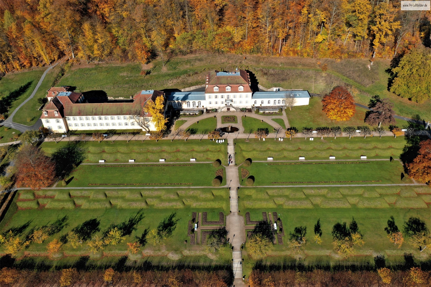
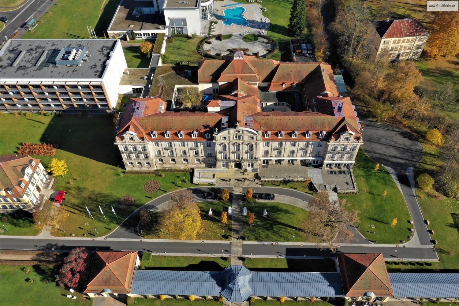
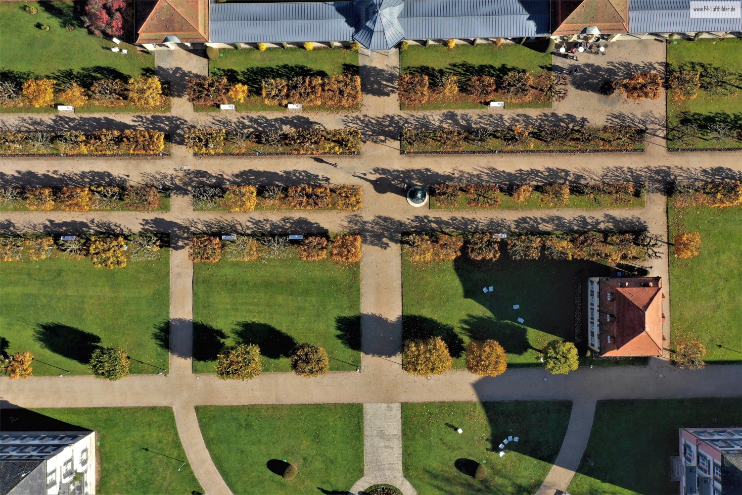
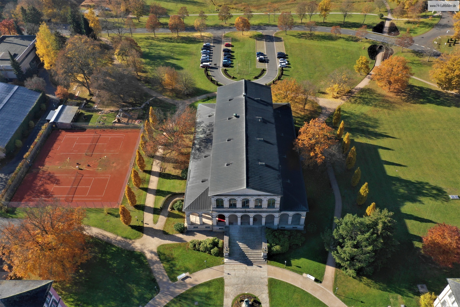
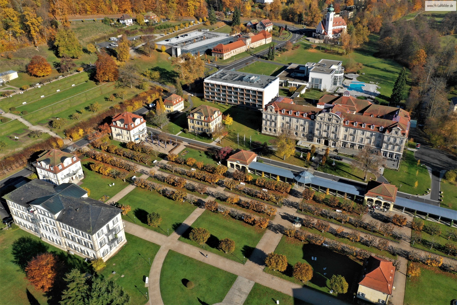
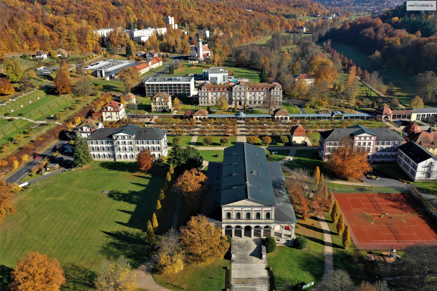
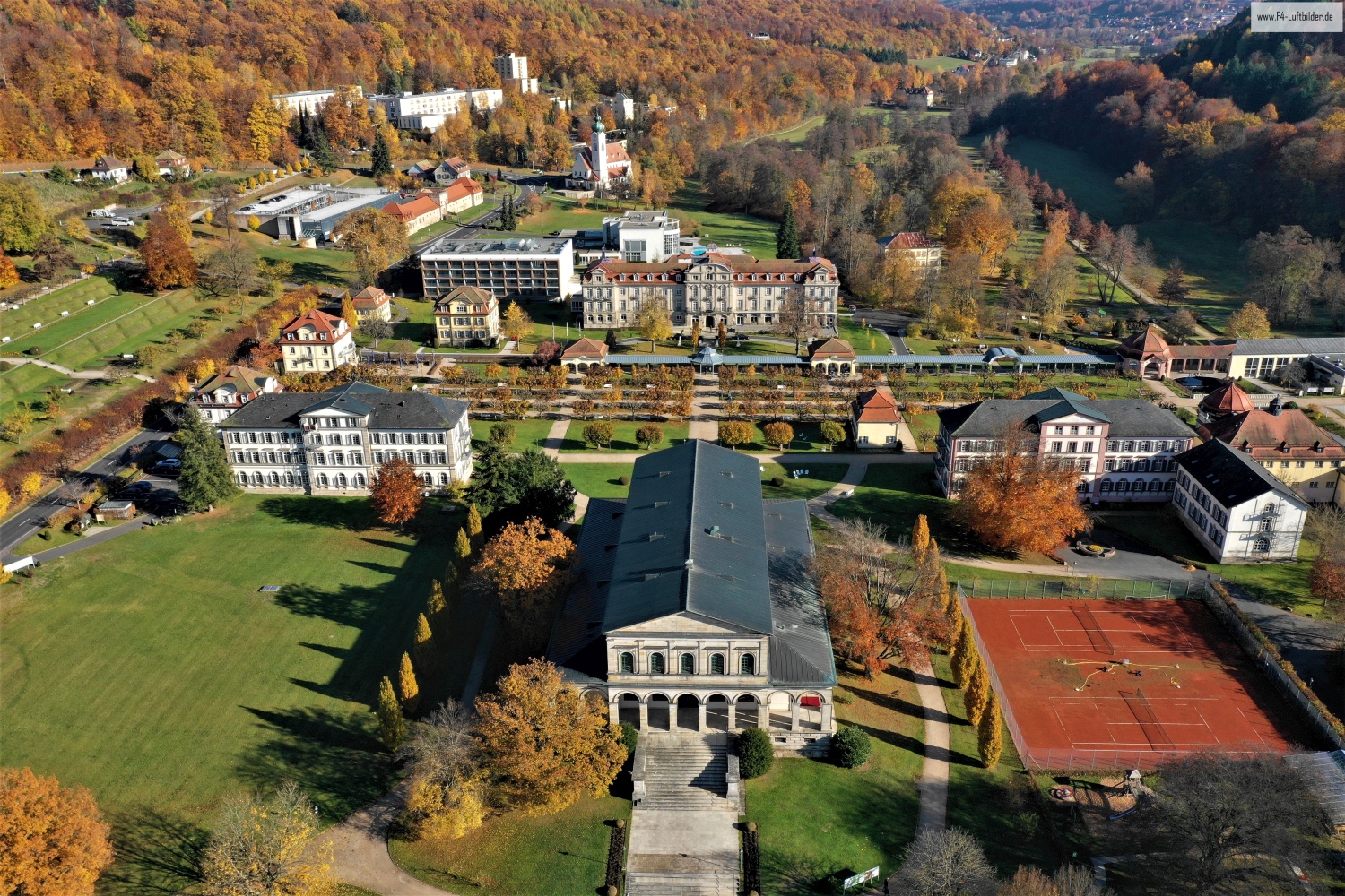
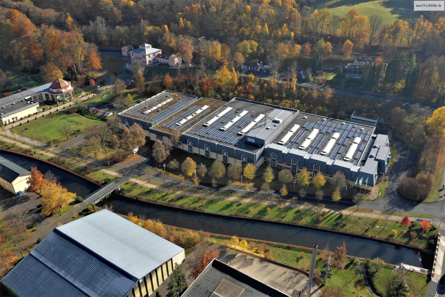
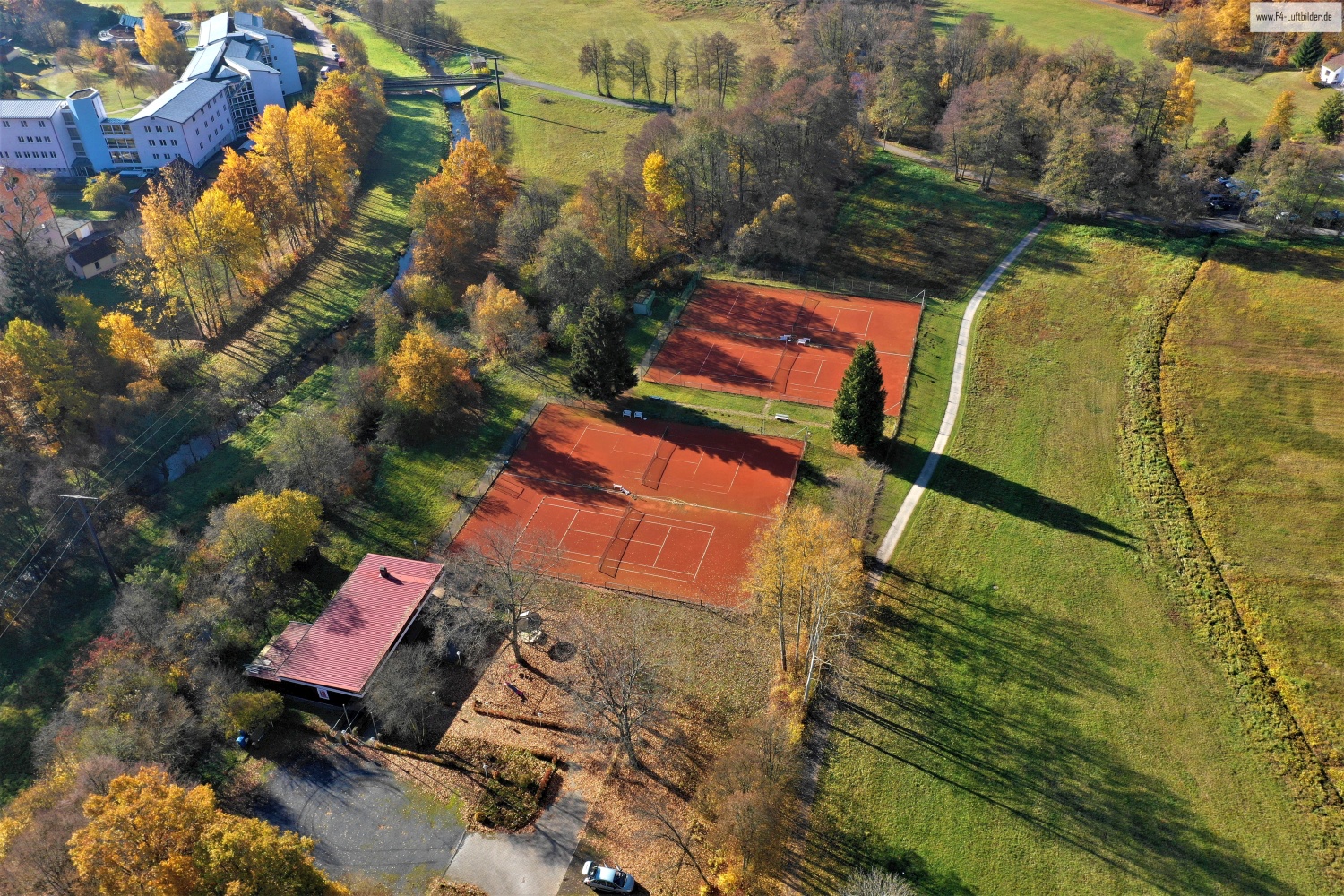
In Bad Brückenau, buildings and well-maintained green spaces move closer together. From above, the paths between larger houses become just as visible as the open spaces at their edges. The series allows you to step back from a single roof to a coherent system.
A health resort from several perspectives
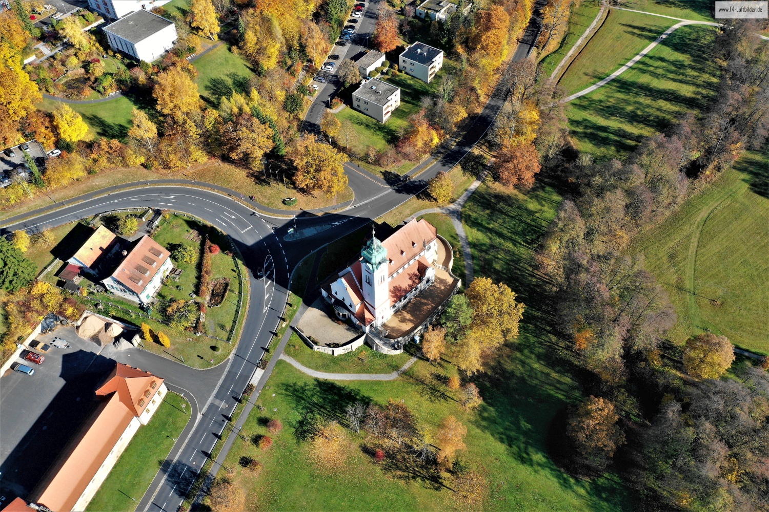
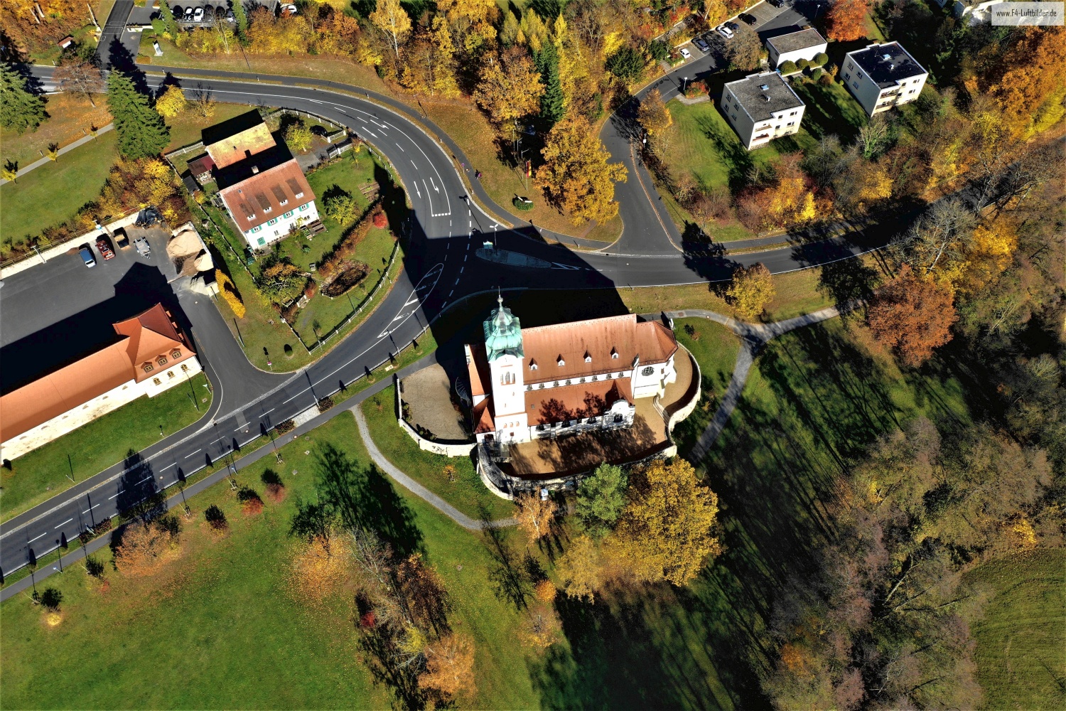
Bad Brückenau can be accessed via green paths. Where several paths meet, the large buildings around them change the direction and depth of the image.
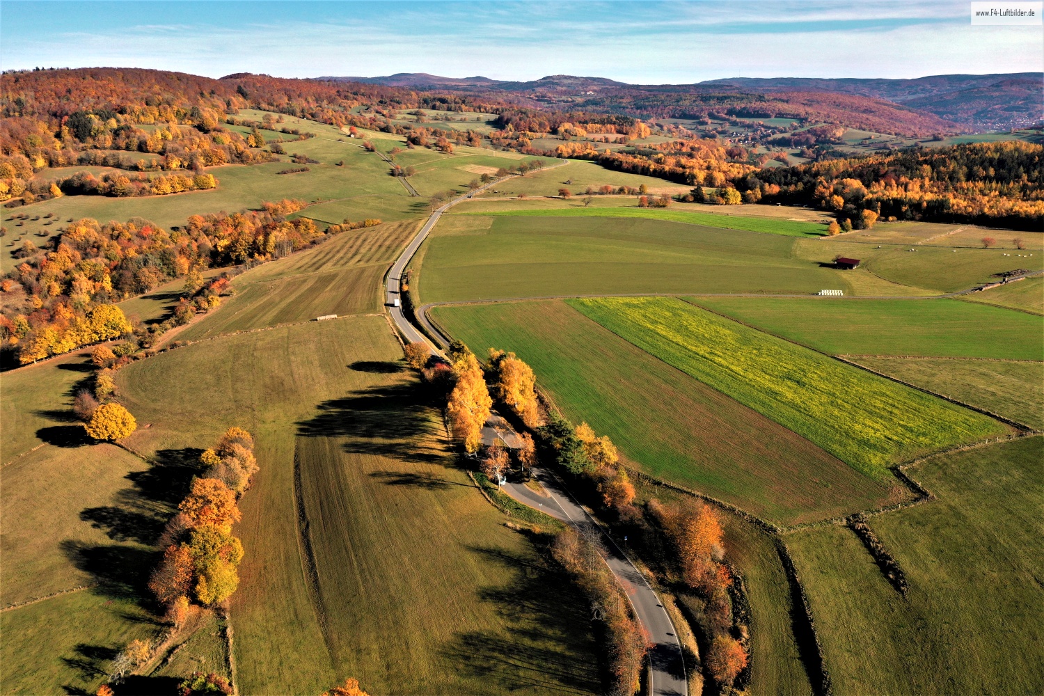
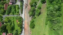
In a green area, the view from above shows, in addition to the trees, primarily the open spaces. A path can change direction in an open area, and dense vegetation can almost completely obscure a building. The system is easier to understand when they interact together than through individual trees or roofs. If you want to explain a park area in a picture, look for a place where the path, open space and vegetation come together. It offers an easy-to-read introduction to the larger floor plan.
Courtyards and entrances
In a courtyard, the relationships between buildings change. What appears from the outside to be a single long building can actually wrap around several open areas. In a steep aerial view, the passageways, the corners and the orientation of the adjacent roofs become understandable. For a caption, a specific reference to the visible side of the courtyard is often more helpful than a list of all the buildings. This means the viewer can recognize the spatial connection themselves and find it again in other images.
What the roofs reveal about the floor plan
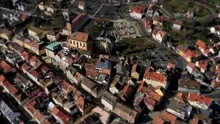
A city center can often be read by its roofs. Where narrow gables are close together, the street space is also divided into short sections. A large, connected building interrupts this sequence. In the aerial photo you can follow the direction of an alley from such an interruption. For an illustration in a smaller format, a section with just a few easily distinguishable roof groups is worthwhile. In a large print, however, the spaces and small changes in direction are allowed to keep their place.
Warm tones within the series
For a direct image comparison, use shot 17 and shot 9 from the gallery with 19 aerial photos. In the second view, warm reds and browns have more weight than in the first. Red-brown and yellowish areas are particularly noticeable next to cooler surfaces. What is interesting when comparing is whether they are concentrated on a single object or appear spread out across the entire view.
According to camera data, Shot 1 and Shot 19 were taken on November 7, 2018. There is a gap of around 22 minutes between the two images. The exposure time was 1/240 second for the first of the images mentioned and 1/500 second for the second.
The Aerial Videos section adds 10 clips to the photos. The aerial photographer's photographs linked there include “Bad Brückenau from the air”. The relevant video page on Adobe Stock can be opened using the respective preview.
How to recognize created areas
In a designed landscape, the direction of paths often says more than a single detail. A straight axis can connect several areas, while a curved path can accommodate the movement of the terrain. Which of these lines is easy to read in an aerial photo also depends on the vegetation and the light. For an aerial photographer, the future intended use is therefore an important clue. An overview for visitors needs clearly visible connections. An image for a report may come closer to a single characteristic area.
Related motifs in the aerial photo archive
The article Museen Schloss Aschach offers another perspective. In Aschach, the bright castle wings stand out from the brown and gold crowns. In the gallery Homburg Castle Ruins near Gössenheim there is a different focus. On the Homburg near Gössenheim, the walls of the ruins can be traced into the green interior areas.